The best walks and hikes around Maccastorna
4.4
(53)
427
hikers
71
hikes
Hiking around Maccastorna offers diverse routes through the flat riverine landscapes of the Adda River and the Parco Adda Sud. This region is characterized by floodplains, marshy areas, and agricultural land, providing a habitat for various wildlife. The trails often follow the river's course, integrating natural exploration with historical architecture found within the village. The terrain is generally flat, making it accessible for a range of hiking abilities.
Best hiking trails around Maccastorna
- The most popular hiking route is From…
Last updated: November 1, 2026
4.3
(9)
21
hikers
Moderate hike. Good fitness required. Easily walkable paths.
4.0
(2)
5
hikers
7.82km
01:59
10m
20m
This easy 4.9-mile hiking loop along the Adda River and Canal offers picturesque scenery and historical sites in Parco Adda Sud.

2
hikers
9.91km
02:30
20m
20m
Embark on the Golena del Po Trail, a moderate hike spanning 6.2 miles (9.9 km) with a gentle elevation gain of 61 feet (19 metres), typically completed in 2 hours…
4.0
(1)
3
hikers
15.3km
03:53
40m
40m
Moderate hike. Good fitness required. Easily walkable paths.
4.0
(1)
8
hikers
Moderate hike. Good fitness required. Easily walkable paths.
Get access to more routes and recommendations from other explorers.
Already have an account?
Our route recommendations are based on thousands of hikes, rides, and runs completed by other people on komoot.
Start today with a free account
Your next adventure awaits.

Tips from the Community

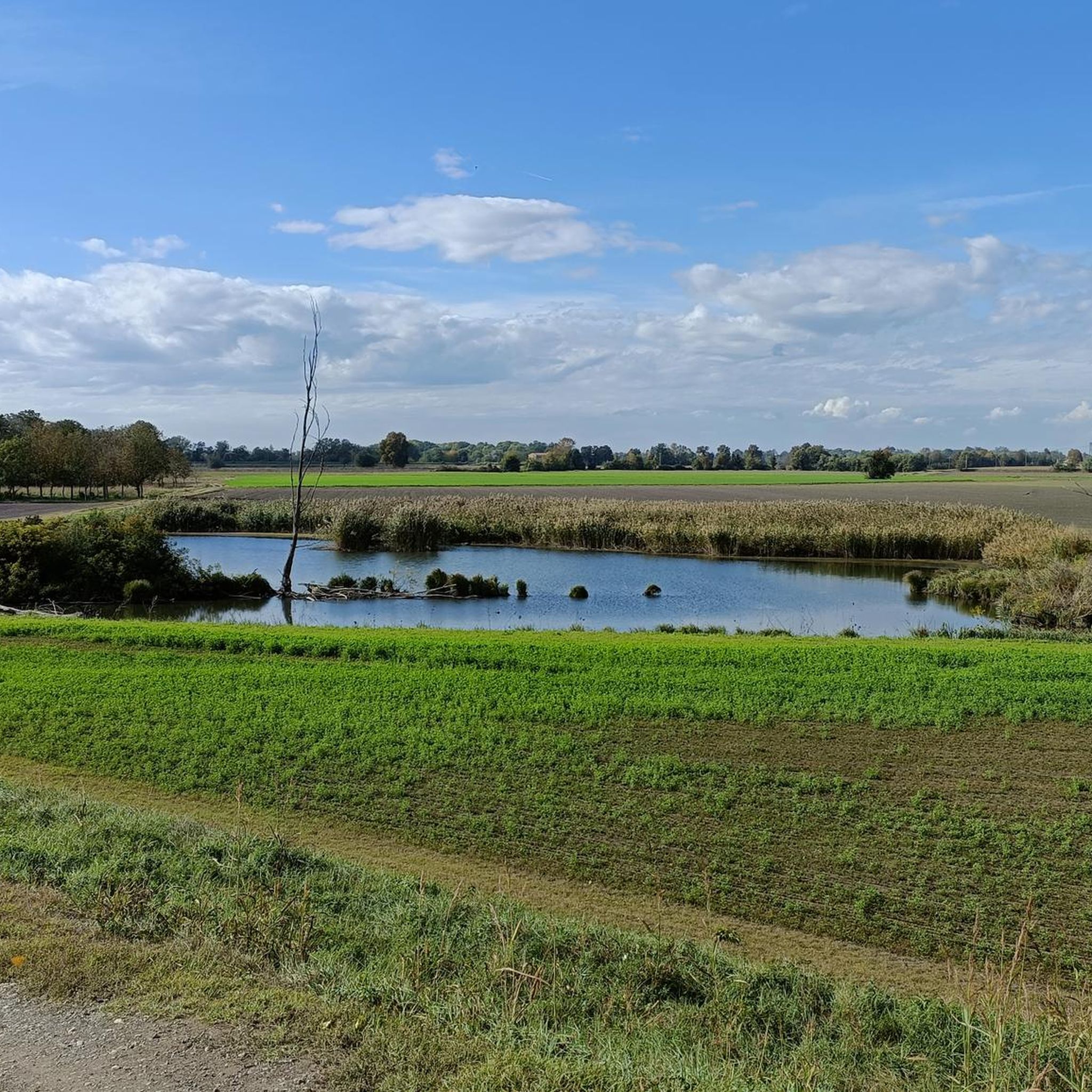
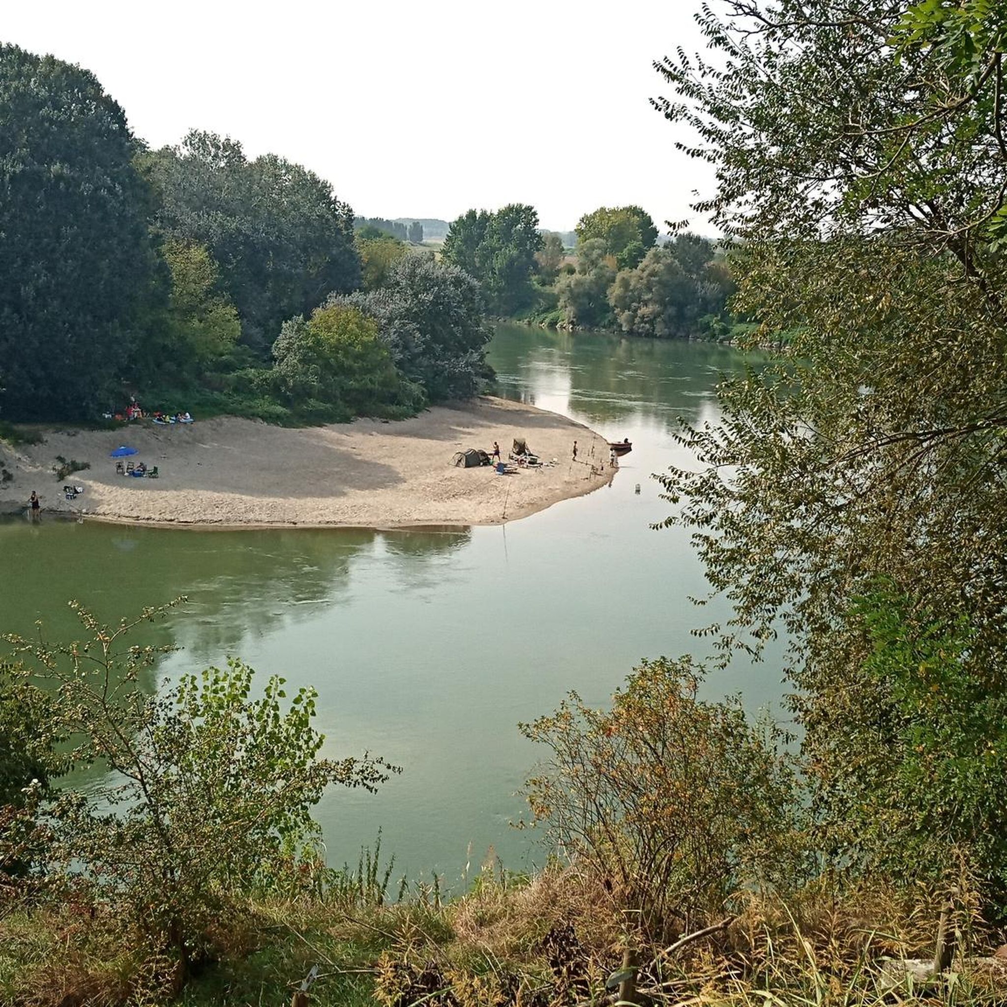
The Adda riverbank in the lower Lodi area protects the floodplain and the river's confluence with the Po, winding its way between the Adda Sud Park, Pizzighettone, and Castelnuovo Bocca d’Adda. This area combines hydraulic defence works with natural and cycling paths of great landscape value.
1
0
The Milan-Cremona-Po canal is an ambitious and never-completed waterway designed to connect Milan to the Po River and the sea. Of the grand project started in 1941, only an initial stretch of about 13 kilometers reaching Pizzighettone was completed, while the work remained unfinished.
0
0
The Milan-Cremona-Po canal is an ambitious and never-completed waterway designed to connect Milan to the river Po and the sea. Of the great project started in 1941, only an initial stretch of about 13 kilometers reaching Pizzighettone has been completed, while the work remained unfinished. You can cycle safely along the banks.
0
0
The road is no longer unpaved but is part of the VENTO cycle path, the surface is asphalted
0
0

The Pizzighettone railway bridge is an important metal arch infrastructure located on the Pavia-Mantova line (in the Codogno-Cremona section) which crosses the Adda river, connecting the Pizzighettone station with the Ponte d'Adda stop.
0
0

Excellent Acqua💧 Point point to stock up on fresh water via the Padania Acque QR code
0
0

Church of San Pietro (Shrine of Our Lady of the Sacred Heart) in the nearby village of Gera, an 18th-century Marian sanctuary entirely covered in marble and mosaics to celebrate the figure of the Virgin, present both inside and outside at the initiative of the priest Pietro Mizzi (parish priest of Pizzighettone until 1999) who dedicated his entire life to its embellishment.
1
0

must see
0
0
Frequently Asked Questions
How many hiking trails are available around Maccastorna?
There are over 50 hiking routes around Maccastorna, offering a variety of experiences. These include 19 easy trails, 29 moderate routes, and 2 more challenging options, ensuring something for every skill level.
What kind of landscapes can I expect to see on hikes near Maccastorna?
Hikes near Maccastorna primarily feature the flat, riverine landscapes of the Adda River and the Parco Adda Sud. You'll encounter floodplains, marshy areas, and agricultural land, often lined with poplar trees and hedges. The area is known for its wetlands and oxbow lakes, providing habitats for various aquatic birds.
Are there any easy, family-friendly hikes in the Maccastorna area?
Yes, Maccastorna offers several easy trails suitable for families. The region's generally flat terrain makes many routes accessible. An example is the South Adda Ring Trail, which is 7.8 km long and leads through the Parco Adda Sud.
What historical landmarks can I explore while hiking around Maccastorna?
Maccastorna itself is rich in history. You can explore the well-preserved Maccastorna Castle and the Romanesque-Lombard style Church of San Bassiano (or Church of San Giorgio Martire, as mentioned in research). Nearby, you can also visit the Adda River Bridge and Visconti Tower in Pizzighettone.
What is the best time of year to go hiking in Maccastorna?
The best time for hiking in Maccastorna is generally during spring and autumn when the weather is mild and comfortable. These seasons offer pleasant temperatures for exploring the riverine landscapes and historical sites without the intense heat of summer or the chill of winter.
Are there any circular hiking routes available near Maccastorna?
Yes, there are several circular routes. For instance, the From Pizzighettone along the Adda – loop tour is a moderate 15.3 km trail that allows you to return to your starting point after exploring the Adda riverbanks.
What do other hikers say about the trails in Maccastorna?
The hiking trails around Maccastorna are highly rated by the komoot community, with an average score of 4.3 stars from over 35 reviews. Hikers often praise the peaceful riverine environments and the blend of natural beauty with historical elements.
Can I bring my dog on the hiking trails in Maccastorna?
While specific rules for every trail vary, the natural parks and riverine paths in the Maccastorna area are generally dog-friendly. It's always recommended to keep your dog on a leash, especially in protected areas like the Parco Adda Sud, to protect wildlife and ensure a pleasant experience for all hikers.
Are there any trails that follow the Po River?
Yes, you can find trails that follow the Po River's floodplains. The Golena del Po Trail is a moderate 9.9 km path that offers views of this significant river's natural environment.
What kind of wildlife might I encounter in the Parco Adda Sud?
The Parco Adda Sud is a haven for wildlife, particularly aquatic birds such as ducks and reintroduced white storks. You might also spot mammals like polecats, dormice, and a small population of fallow deer. The river itself is home to various fish species, including eels, pike, and sturgeon.
Are there any trails that offer views of castles or historical architecture?
Absolutely. Many routes combine natural exploration with cultural discovery. For example, the From Pizzighettone to the Castello Borromeo di Camairago – loop tour explores the area around Pizzighettone, leading towards historical landmarks and offering glimpses of the region's rich past.
What is the general difficulty level of hikes in Maccastorna?
The hikes in Maccastorna are predominantly easy to moderate, thanks to the region's generally flat terrain. Out of over 50 routes, 19 are classified as easy and 29 as moderate, making the area accessible for a wide range of hikers.
Most popular routes around Maccastorna
Most popular attractions around Maccastorna

Get inspired with the komoot mobile app


Explore more
Browse the best Hikes in other regions.
