The best walks and hikes around Soresina
4.3
(91)
557
hikers
79
hikes
Hiking trails around Soresina are characterized by the flat, fertile plains of the Po Valley, offering expansive views of agricultural fields and rural landscapes. The region features an intricate network of canals and waterways, providing serene routes through the countryside. Hikers can expect accessible, low-elevation terrain, ideal for leisurely exploration rather than challenging ascents. This area provides a connection with traditional Italian rural life and its agricultural heritage.
Best hiking trails around Soresina
- The most popular hiking route is Hiking…
Last updated: July 9, 2026
16
hikers
6.56km
01:39
10m
10m
Easy hike. Great for any fitness level. Easily-accessible paths. Suitable for all skill levels.
4.3
(3)
10
hikers
Easy hike. Great for any fitness level. Easily-accessible paths. Suitable for all skill levels.

Sign up for free
5.0
(1)
9
hikers
11.2km
02:48
10m
10m
Moderate hike. Good fitness required. Easily-accessible paths. Suitable for all skill levels.
4.0
(1)
5
hikers
10.3km
02:37
20m
20m
Moderate hike. Good fitness required. Easily-accessible paths. Suitable for all skill levels.
4.0
(1)
4
hikers
6.79km
01:43
10m
10m
Easy hike. Great for any fitness level. Easily-accessible paths. Suitable for all skill levels.
Get access to more routes and recommendations from other explorers.
Sign up for free
Already have an account?
Our route recommendations are based on thousands of hikes, rides, and runs completed by other people on komoot.
Start today with a free account
Your next adventure awaits.
Login or Signup

Tips from the Community

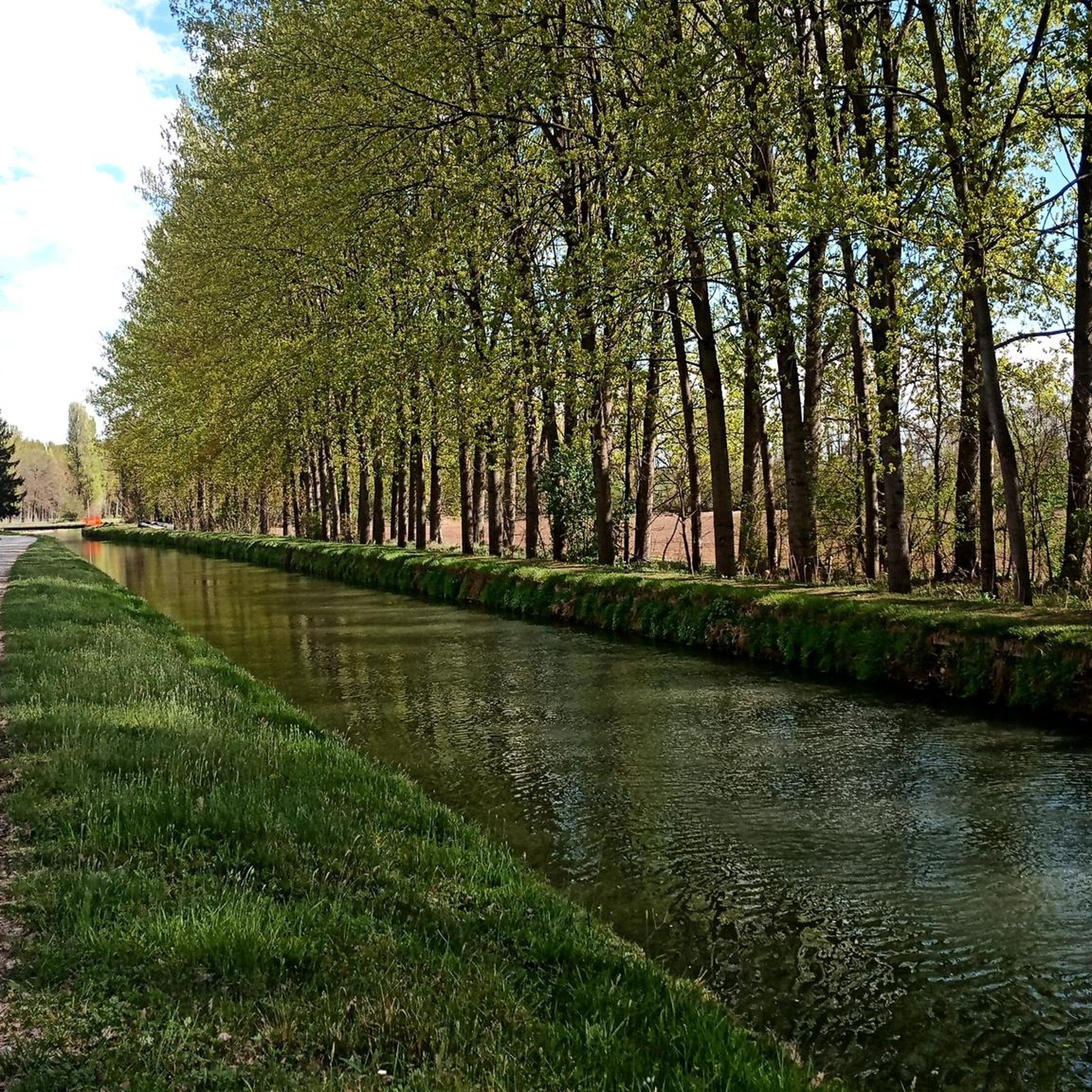
The Naviglio Civico di Cremona is a historic artificial canal of about 57 km (reaching over 75 km considering the underground section "Cremonella" and the final stretch into the Po River), built in 1337 for irrigation purposes and still fundamental for agriculture today. It crosses the province from north to south, connecting the Oglio river to the city, characterized by a landscape rich in biodiversity, ancient farmhouses, and a cycle path.
0
0

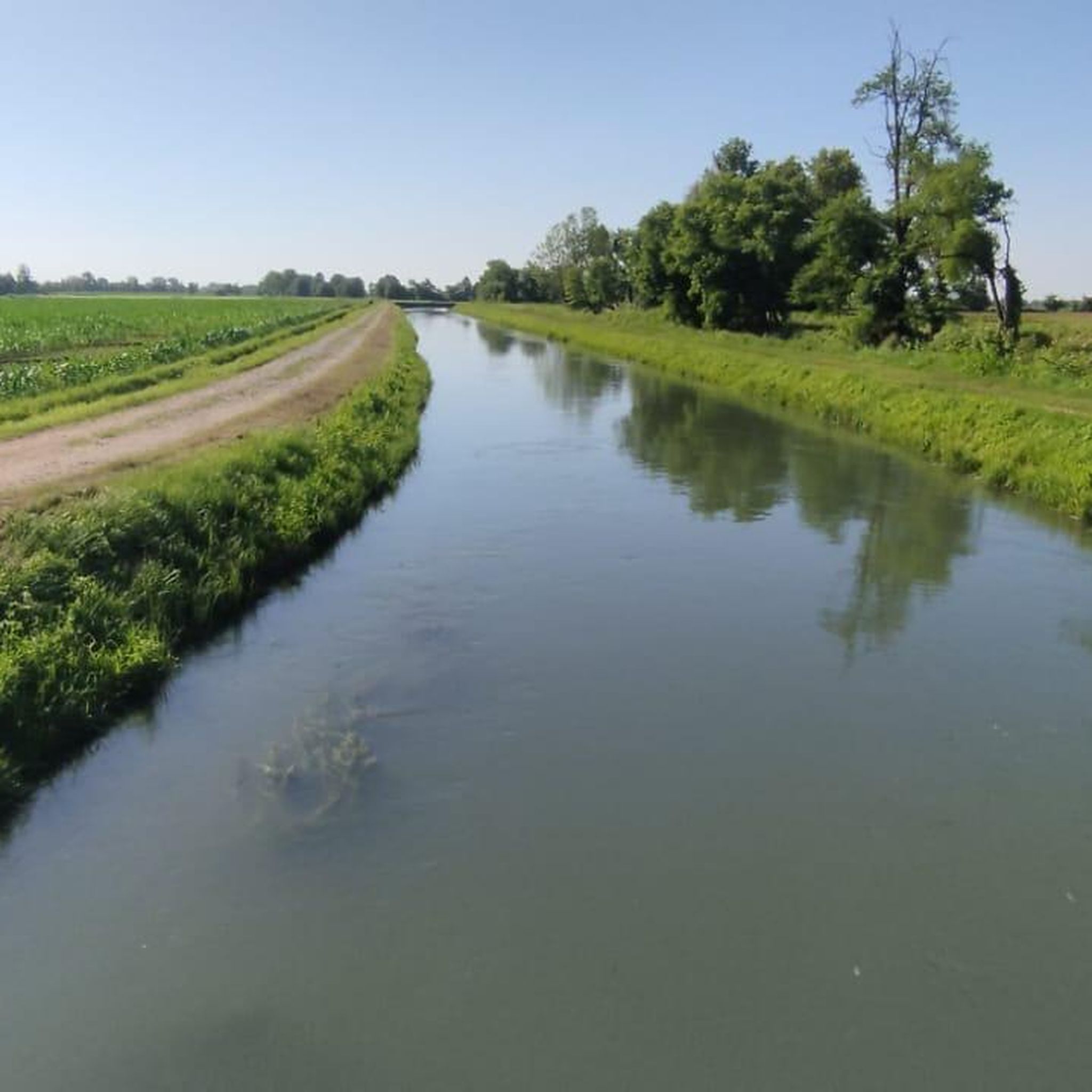
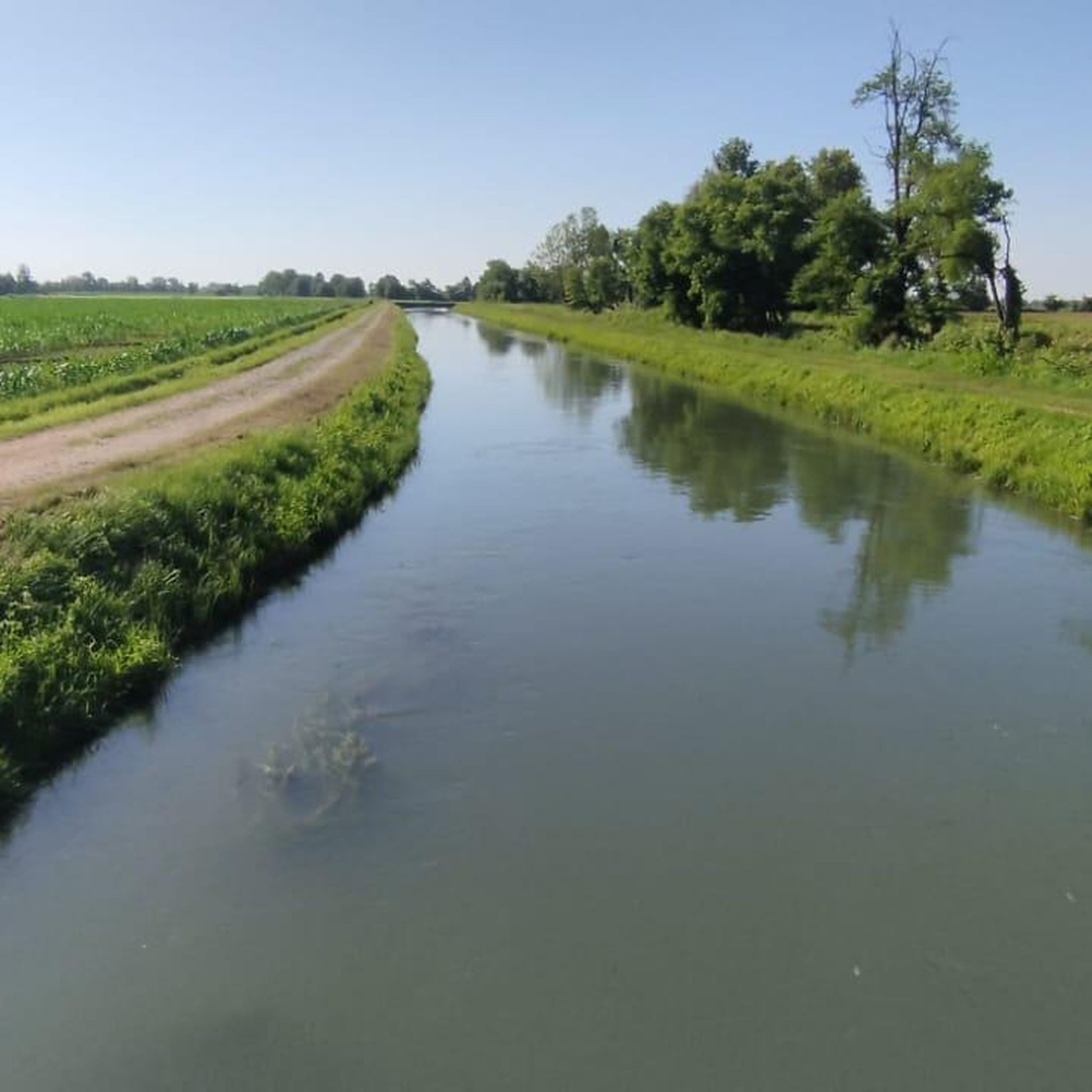
The trail, which runs alongside the Canale Civico Cremonese, is straight and uneven, running through fields and rows of vines on a dirt surface. Stable and even, it's a perfect stretch for gravel and touring bikes.
1
0

The hydraulic junction of the Tombe Morte-Tredici Ponti constitutes the most important concentration of artificial waterways in the province of Cremona, irrigating approximately 85,000 hectares of countryside. Here the Naviglio Civico di Cremona, the Naviglio Grande Pallavicino and the Canale Vacchelli intersect, the latter pouring almost all of its flow into the Naviglio Pallavicino, the Naviglio Civico and a dozen irrigation ditches through an impressive system of locks. Finally, a spillway, built between 1968 and 1981, detaches from the junction, which discharges any excess flow from the Naviglio Civico, the Naviglio Pallavicino and the Vacchelli into the Oglio river. Two different hypotheses have been made regarding the origin of the name, the first would originate from the term tomba which is synonymous with siphon, a hydraulic element that connects two conduits. Probably some of these artifacts would have fallen into disuse, hence the adjective death. Another hypothesis is linked to the discovery of several dozen burials dating back to the late Roman era.
23
0

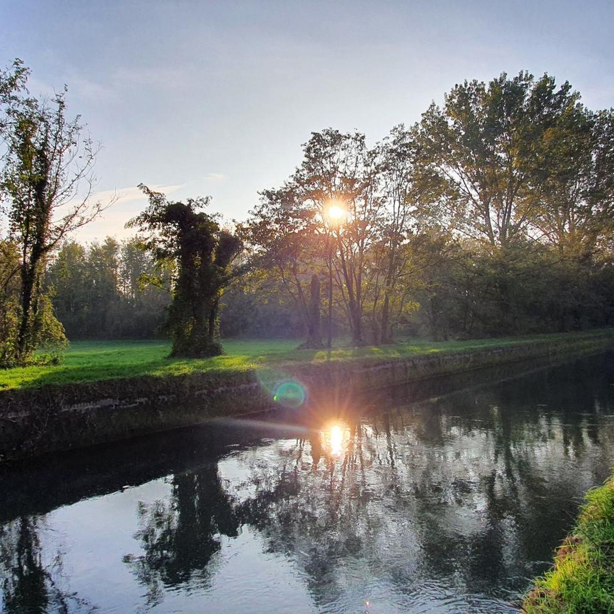
The intersection of these channels is very suggestive
5
0

The Pietro Vacchelli canal is an important hydraulic work from the late 1800s built by the Consorzio Irrigazioni Cremonesi to irrigate 80 thousand hectares of the Cremona countryside in the stretch between the Adda River and the Tombe Morte locality in Genivolta.
0
0

nice road great surface
0
0

Beautiful dirt road along the canal, ideal for gravel and mountain biking.
0
0

The Pietro Vacchelli canal, formerly Canale Marzano from the locality where the water intake from the Adda river is located, flows from west to east in the Middle Lombardy Plain and constitutes the largest hydraulic work for irrigation in the territory of the province of Cremona. Built by the Cremonesi Irrigazioni Consortium between 1887 and 1892, on the proposal of the engineer. Pietro Vacchelli (whose name he took after his death in 1913), with the aim of resolving the serious agricultural crisis of the second half of the 19th century caused by backward cultivation systems. It, in an almost exclusively straight path, transports 38.5 cubic meters of water per second up to the locality "Tombe Morte", in the Municipality of Genivolta, where its waters join those derived from the Oglio river.
2
0
Frequently Asked Questions
What kind of hiking experience can I expect around Soresina?
Hiking around Soresina offers a unique experience characterized by the flat, fertile plains of the Po Valley. You'll find expansive views of agricultural fields, farms, and rural landscapes, with an intricate network of canals and waterways. It's ideal for leisurely exploration and connecting with traditional Italian rural life, rather than challenging ascents.
How many hiking trails are there in the Soresina area?
There are over 60 hiking trails available around Soresina, catering to various preferences. The majority are easy to moderate, with a few more challenging options for those seeking a longer adventure.
Are there any circular hiking routes near Soresina?
Yes, many routes around Soresina are designed as loops. For example, the Hiking loop from Soresina is an easy 4.5-mile (7.3 km) trail, and the Tombe Morte (and 13 bridges) loop from Soresina offers a moderate 8.8-mile (14.2 km) journey through the area's hydraulic systems.
What are some interesting places to explore along the hiking trails?
The region is rich with points of interest. You can explore the significant hydraulic meeting point of Tombe Morte (and 13 bridges), or discover the historic Adda River Bridge and Visconti Tower in Pizzighettone. Another unique sight is the San Vigilio Bridge of Padernello, known for its intertwined log construction.
Are the hiking trails around Soresina suitable for families?
Yes, the generally flat and accessible terrain makes many trails around Soresina suitable for families. Easy routes like the Hiking loop from Genivolta, which is about 3.5 miles (5.6 km), are great for a leisurely family walk.
What do other hikers say about the trails in Soresina?
The trails around Soresina are highly rated by the komoot community, with an average score of 4.3 stars from over 70 reviews. Hikers often praise the peaceful agricultural landscapes, the scenic canals, and the opportunity to experience rural Italian life at a relaxed pace.
Can I bring my dog on the hiking trails near Soresina?
While specific regulations for each trail may vary, the rural and open nature of many paths along canals and through agricultural fields generally makes them suitable for walks with dogs. Always ensure your dog is under control and respect local signage regarding pets.
Are there any trails that follow canals or waterways?
Absolutely. The region is defined by its intricate network of canals. The Canale Vacchelli Cycle Path, originally an irrigation work, offers extensive dirt roads perfect for walking alongside the water, providing a serene route towards Cremona.
What is the best time of year to go hiking in Soresina?
Soresina's flat terrain and agricultural setting make it pleasant for hiking during spring and autumn, when temperatures are mild and the landscape is vibrant or showcasing harvest colors. Summer can be warm, but early mornings or late afternoons are still enjoyable. Winter offers a different, tranquil beauty, though some paths might be muddy.
Are there any longer, moderate trails for more experienced hikers?
Yes, for those looking for a longer, moderate hike, the Santuario di Ariadello loop from Genivolta is a popular choice. This 9.3-mile (14.9 km) path winds through the rural landscape, passing by the Santuario di Ariadello.
Is public transport available to reach trailheads around Soresina?
Soresina is a small town, and while local buses might connect to nearby villages, direct public transport to specific trailheads in the rural areas can be limited. It's advisable to check local bus schedules or consider driving to access more remote starting points.
Where can I park when hiking near Soresina?
Parking is generally available in Soresina itself and in the smaller villages that serve as starting points for many routes. Given the rural nature, you'll often find informal parking areas near canal paths or village centers, but always ensure you park responsibly and legally.
Most popular attractions around Soresina

Get inspired with the komoot mobile app


Explore more
Browse the best Hikes in other regions.
