The best walks and hikes around Tornata
4.1
(18)
65
hikers
26
hikes
Hiking around Tornata reveals a landscape characterized by the flat plains of the Po Valley, influenced by the Oglio River. The region features agricultural areas, small nature reserves like Le Bine, and historical sites. Elevation changes are minimal, making most routes accessible.
Best hiking trails around Tornata
- The most popular hiking route is Oglio Cycle Path: Le Bine Nature Reserve Loop, a 12.2 miles (19.6 km) trail that takes 4 hours 59 minutes to complete. This moderate route explores…
Last updated: July 1, 2026
4.5
(6)
9
hikers
19.7km
04:59
50m
50m
Hike along the Oglio River in Piadena, a moderate 12.2-mile route through riverine landscapes, cultivated fields, and nature reserves.
3.5
(2)
5
hikers
7.57km
01:55
20m
20m
Easy hike. Great for any fitness level. Easily-accessible paths. Suitable for all skill levels.

Sign up for free
9
hikers
6.33km
01:36
10m
10m
Easy hike. Great for any fitness level. Easily-accessible paths. Suitable for all skill levels.
2
hikers
Moderate hike. Good fitness required. Easily-accessible paths. Suitable for all skill levels.
5.0
(2)
3
hikers
7.86km
01:59
20m
20m
Easy hike. Great for any fitness level. Easily-accessible paths. Suitable for all skill levels.
Get access to more routes and recommendations from other explorers.
Sign up for free
Already have an account?
Our route recommendations are based on thousands of hikes, rides, and runs completed by other people on komoot.
Start today with a free account
Your next adventure awaits.
Login or Signup
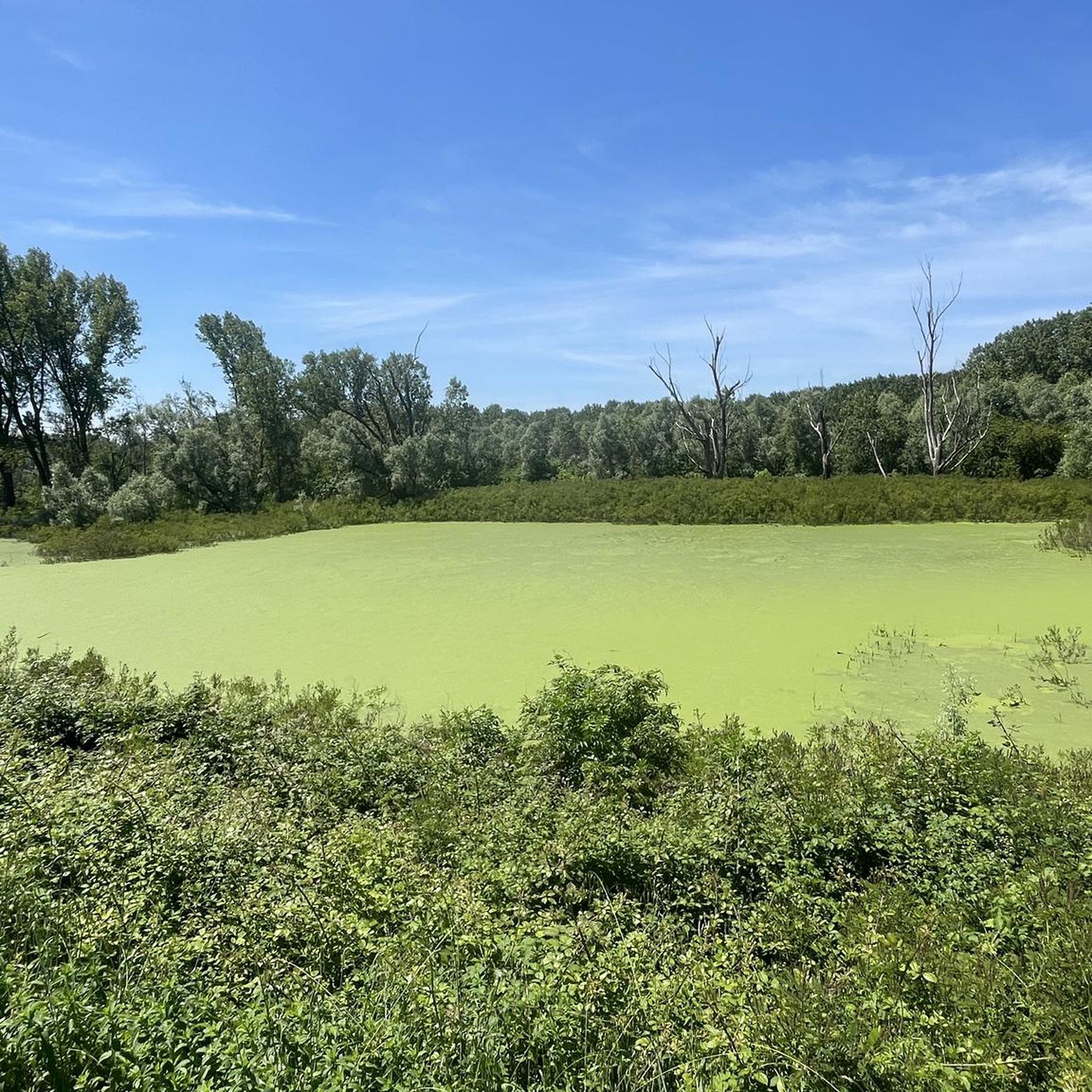
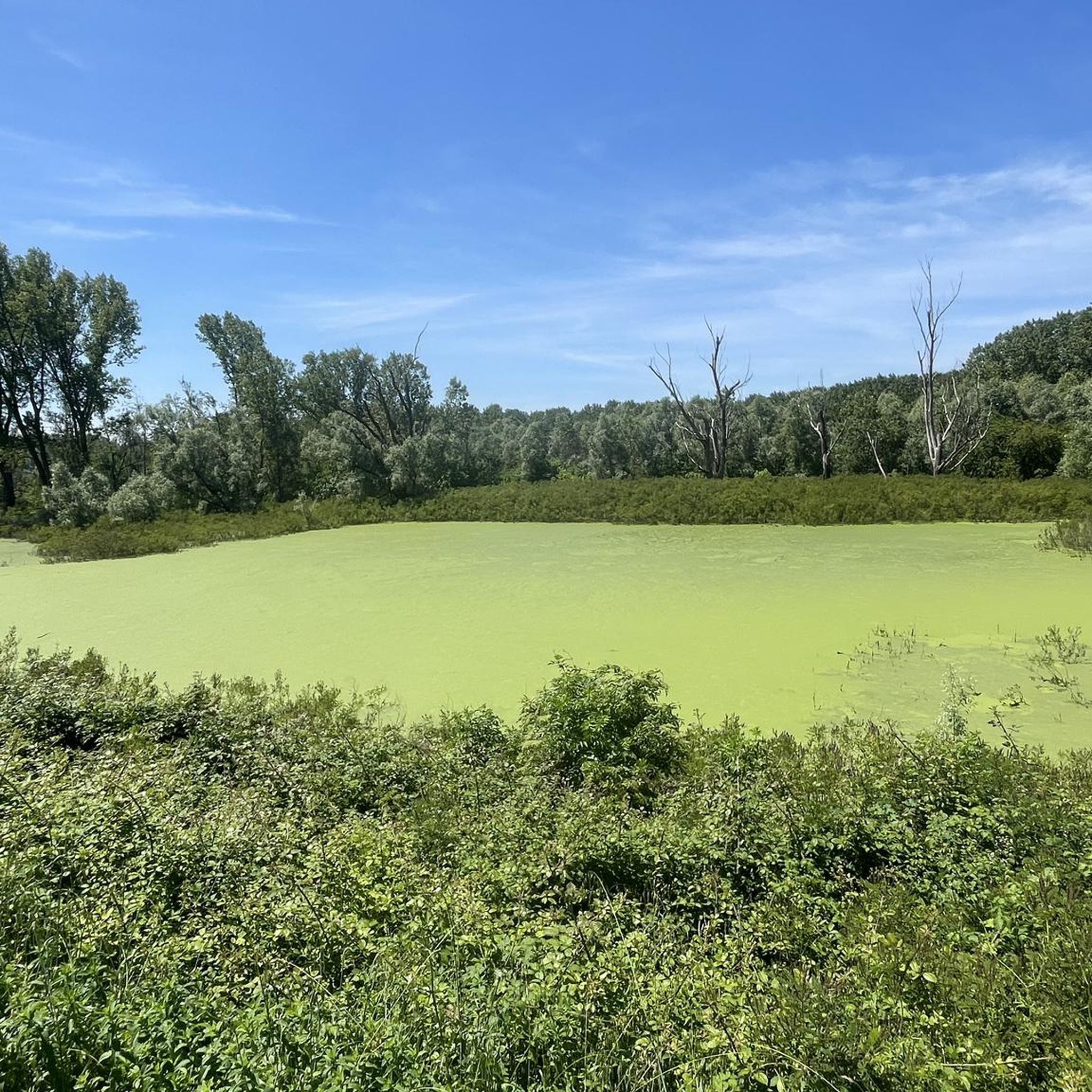


Tips from the Community

Originally this was the gateway to the city. Today it leads to a small park that borders the ancient walls of the village.
1
0

Place of worship and prayer P.za Don Primo Mazzolari, 7, 46012 Bozzolo MN https://parrocchiabozzolo.weebly.com/san-pietro.html 037691335
1
0
Structure of architectural and historical interest Via dei Mille, 2, 46012 Bozzolo MN
1
1

Beautiful dirt road between Marcaria and Bozzolo immersed in nature, easily passable with gravel bikes and MTBs.
1
0

Splendid glimpse of the Oglio river
1
0
Le bine is an area protected as a natural reserve by WWF Italy.
2
0
Old mill overlooking the Oglio river.
1
0

Nature reserve - Educational farm - Agriturismo
0
0
Frequently Asked Questions
How many hiking trails are available around Tornata?
There are over 20 hiking trails around Tornata, offering a variety of options for different skill levels. The region is known for its flat terrain, making most routes accessible.
What kind of landscape can I expect while hiking around Tornata?
Hiking around Tornata primarily features the flat plains of the Po Valley, influenced by the Oglio River. You'll encounter agricultural areas, small nature reserves like Le Bine, and historical sites. Elevation changes are minimal, providing a relaxed hiking experience.
Are there family-friendly hiking options in Tornata?
Yes, Tornata offers several easy routes suitable for families. For example, the Castello di Romprezzagno loop from Bozzolo is a 3.7-mile (5.9 km) trail that leads through agricultural landscapes and past a historic castle, perfect for a shorter outing.
Can I bring my dog on the hiking trails in Tornata?
Generally, dogs are welcome on trails in the Tornata area, especially on the agricultural paths and riverine routes. It's always recommended to keep them on a leash, especially when passing through nature reserves or near livestock, and to clean up after them.
Are there circular hiking routes available in Tornata?
Many of the trails around Tornata are designed as loops, offering convenient circular routes. An example is the Abandoned Mill – Old Mill on the Oglio River loop from Piadena Drizzona, an easy 4.6-mile (7.4 km) path that follows the Oglio River and passes historical mill sites.
What is the best time of year to hike in Tornata?
The best time to hike in Tornata is typically during spring (April-May) and autumn (September-October) when the weather is mild and pleasant. Summer can be hot, especially in the open agricultural areas, while winter offers a different, often misty, charm but can be colder.
Are there any permits required for hiking in Tornata?
No, there are generally no permits required for hiking on the public trails around Tornata. You can freely explore the paths through the agricultural fields and along the river.
What can I see along the hiking trails in Tornata?
Beyond the natural beauty of the Oglio River and agricultural landscapes, you can discover historical and cultural points of interest. Notable attractions include the Villa Medici del Vascello, the Church of San Pietro in Mendicante, and the town of Rivarolo Mantovano.
Are there any challenging hikes in Tornata?
Tornata's terrain is predominantly flat, so there are no difficult or highly challenging hikes with significant elevation gain. Most routes are classified as easy or moderate, focusing on distance rather than steep ascents.
What do other hikers enjoy most about hiking in Tornata?
The area is highly rated by the komoot community, with an average score of 3.9 stars. Reviewers often praise the peaceful riverine paths, the accessibility of the trails, and the opportunity to experience the tranquil agricultural landscapes of the Po Valley.
Are there trails with good viewpoints in Tornata?
While Tornata is a flat region without high vantage points, the trails along the Oglio River and through the nature reserves offer scenic views of the waterways, local flora and fauna, and the expansive agricultural fields. These provide a different kind of natural beauty.
Where can I find parking for hiking trails in Tornata?
Parking is generally available in the small towns and villages that serve as starting points for the trails, such as Bozzolo or Piadena Drizzona. Look for designated public parking areas within these communities.
Are there cafes or places to eat near the hiking routes?
Yes, the towns and villages surrounding Tornata, such as Bozzolo, Piadena Drizzona, and Rivarolo Mantovano, offer local cafes, trattorias, and shops where you can find refreshments and meals before or after your hike.
Most popular attractions around Tornata

Get inspired with the komoot mobile app


Explore more
Browse the best Hikes in other regions.
