The best walks and hikes around Torre De' Picenardi
4.3
(24)
70
hikers
17
hikes
Hiking around Torre De' Picenardi offers routes through the flat, verdant countryside of Italy's Lombardy region. The terrain is characteristic of the Po Valley, featuring minimal elevation changes. Trails traverse agricultural landscapes, historical parks, and areas near the Oglio River. This region provides tranquil routes for outdoor activities amidst natural and historical features.
Best hiking trails around Torre De' Picenardi
- The most popular hiking route is Oglio Cycle Path: Le Bine Nature Reserve Loop, a 12.2 miles (19.7 km)…
Last updated: July 15, 2026
4.5
(6)
9
hikers
19.7km
04:59
50m
50m
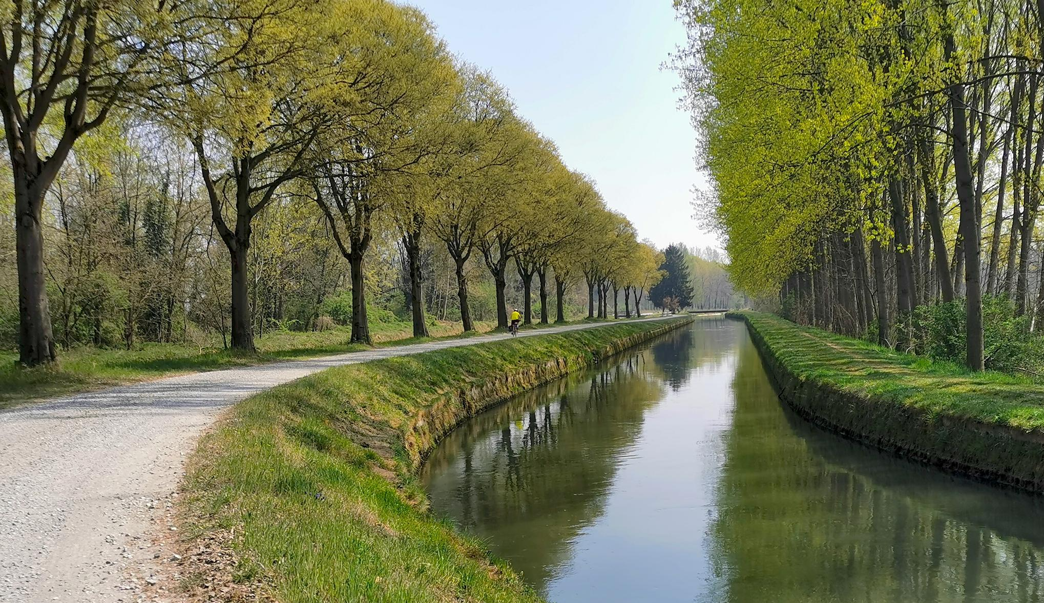
Hike along the Oglio River in Piadena, a moderate 12.2-mile route through riverine landscapes, cultivated fields, and nature reserves.
3.5
(2)
5
hikers
7.57km
01:55
20m
20m
Easy hike. Great for any fitness level. Easily-accessible paths. Suitable for all skill levels.

Sign up for free
4.0
(3)
7
hikers
19.1km
04:50
40m
40m
Moderate hike. Good fitness required. Easily-accessible paths. Suitable for all skill levels.
4.0
(3)
7
hikers
16.9km
04:17
40m
40m
Moderate hike. Good fitness required. Easily-accessible paths. Suitable for all skill levels.
5.0
(1)
5
hikers
Moderate hike. Good fitness required. Easily-accessible paths. Suitable for all skill levels.
Get access to more routes and recommendations from other explorers.
Sign up for free
Already have an account?
Our route recommendations are based on thousands of hikes, rides, and runs completed by other people on komoot.
Start today with a free account
Your next adventure awaits.
Login or Signup


Other adventures around Torre De' Picenardi

Tips from the Community

nice place to relax for a moment
0
0

Cycle/pedestrian stretch on a dirt road, which runs along the Oglio river. The route is surrounded by nature and suitable for everyone, completely flat. It is nicknamed "white road" due to the color of the gravel on the bottom.
2
0

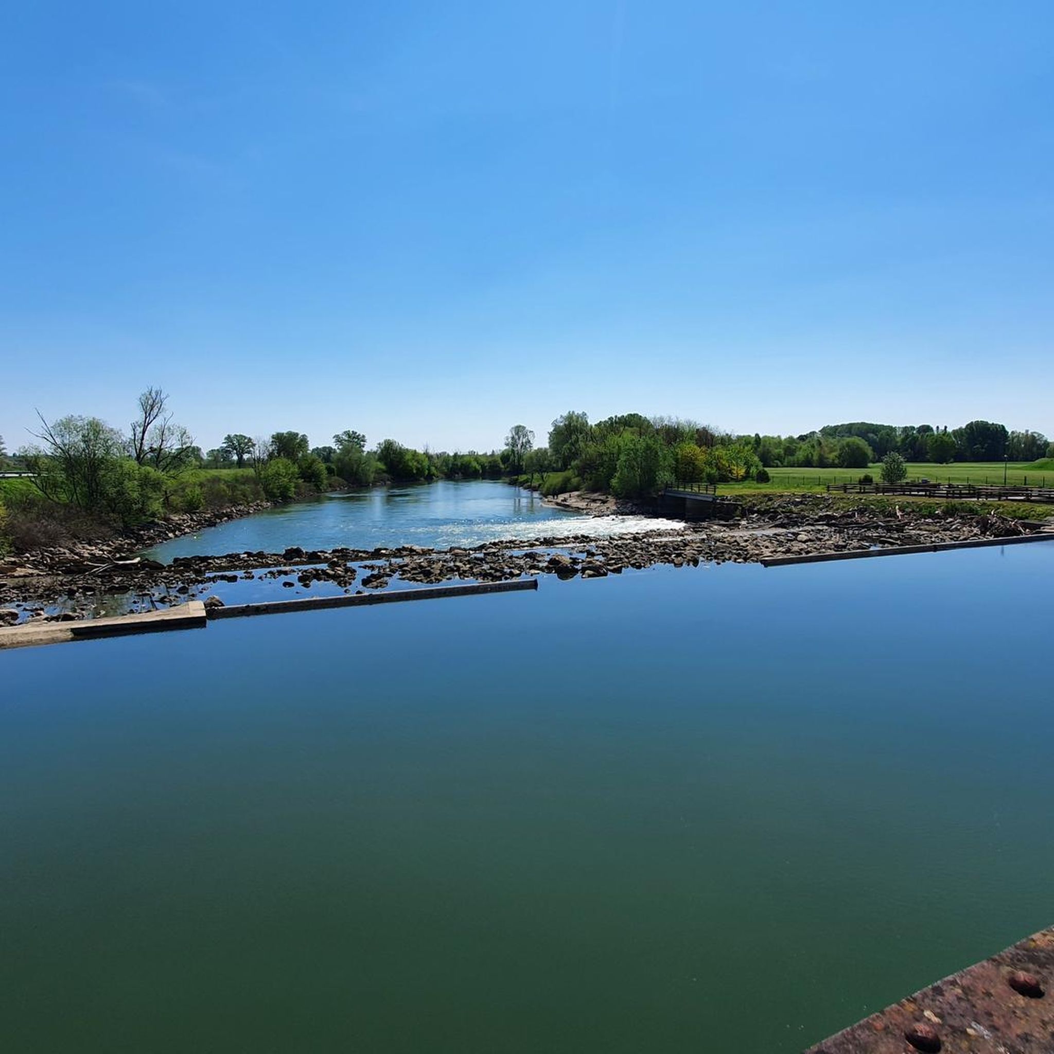
Splendid glimpse of the Oglio river
1
0
Le bine is an area protected as a natural reserve by WWF Italy.
2
0
Old mill overlooking the Oglio river.
1
0

Excellent ice cream shop in the heart of Piadena
0
0

Benches, Ombra, and the Oglio river A good point for a break
4
0

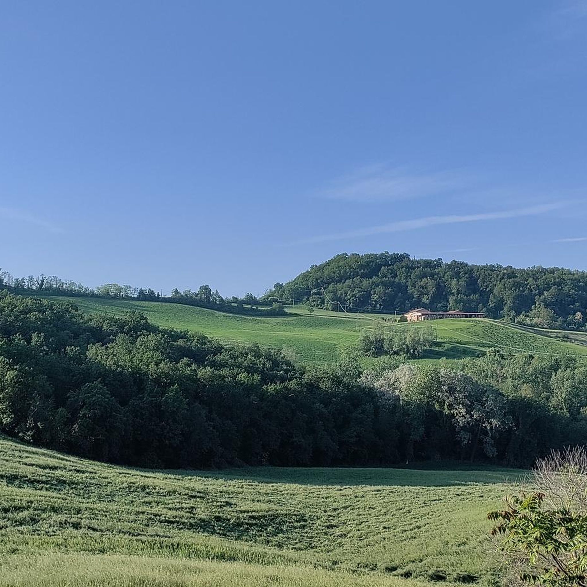
Nature reserve - Educational farm - Agriturismo
0
0
Frequently Asked Questions
What kind of terrain can I expect on hikes around Torre De' Picenardi?
The terrain around Torre De' Picenardi is characteristic of the Po Valley, offering mostly flat and verdant countryside. You'll find minimal elevation changes, making it ideal for leisurely walks and runs. Trails often traverse cultivated fields, historical parks, and areas along the Oglio River.
Are there many hiking options available in Torre De' Picenardi?
Yes, there are a good number of options. The komoot community has mapped out over 15 hiking routes around Torre De' Picenardi, ranging from easy strolls to more moderate excursions.
Are there any family-friendly hiking trails in the area?
Absolutely. The flat and gentle terrain makes many routes suitable for families. For an easy and engaging walk, consider the Abandoned Mill – Old Mill on the Oglio River loop from Piadena Drizzona, which is 4.6 miles (7.4 km) long and features historical elements along the river.
Can I bring my dog on the hiking trails around Torre De' Picenardi?
Yes, the open and natural landscapes around Torre De' Picenardi are generally dog-friendly. Many routes, especially those through agricultural fields and along canals, are suitable for walks with your canine companion. Always ensure your dog is under control and respect local regulations.
Are there any circular hiking routes available?
Many of the trails in the region are designed as loops, offering convenient circular walks. A popular option is the Oglio Cycle Path: Le Bine Nature Reserve Loop, which is a 12.2 miles (19.7 km) trail exploring the Oglio Sud Regional Park.
What historical sites or natural features can I see while hiking?
The area is rich in both history and natural beauty. You can explore historical estates like Villa Sommi Picenardi, known for its English garden, or the nearby Ostiano Castle. Many trails also pass through the verdant countryside and along the Oglio River, offering picturesque views of agricultural landscapes and the Oglio Sud Regional Park.
What is the best time of year to go hiking in Torre De' Picenardi?
The flat terrain of Torre De' Picenardi makes it enjoyable for hiking throughout much of the year. Spring and autumn offer pleasant temperatures and vibrant scenery, with blooming fields or colorful foliage. Summer can be warm, but early mornings or late afternoons are still suitable for walks. Winter offers a serene, quiet experience, though paths might be damp.
What do other hikers enjoy most about the trails in Torre De' Picenardi?
The komoot community highly rates the hiking experience here, with an average score of 4.1 stars. Hikers often praise the tranquil routes, the expansive green spaces, and the blend of natural and historical features. The flat paths are frequently highlighted as perfect for relaxed walks and enjoying the fresh air.
Are there any longer hiking trails for more experienced hikers?
While the region is known for its gentle terrain, there are longer routes available. The Chapel – Piadena-Canneto Canal loop from Canneto sull'Oglio is a moderate 11.8 miles (19.1 km) trail that takes around 4 hours 50 minutes to complete, offering a good distance through agricultural areas.
Are there any trails that pass by water features or canals?
Yes, several routes incorporate water features. The Piadena-Canneto Canal – Old Mill on the Oglio River loop from Canneto sull'Oglio is a great example, following the Piadena-Canneto Canal and passing by the Oglio River, providing scenic views and a refreshing atmosphere.
What is the general difficulty level of hikes in this region?
The majority of hikes around Torre De' Picenardi are considered easy to moderate. Out of the 16 available tours, 6 are easy and 9 are moderate, with only one rated as difficult. This makes the area accessible for a wide range of fitness levels, focusing more on enjoyment of the scenery than strenuous climbing.
Most popular routes around Torre De' Picenardi
Most popular attractions around Torre De' Picenardi

Get inspired with the komoot mobile app


Explore more
Browse the best Hikes in other regions.
