The best walks and hikes around Ca' D'Andrea
4.3
(22)
65
hikers
14
hikes
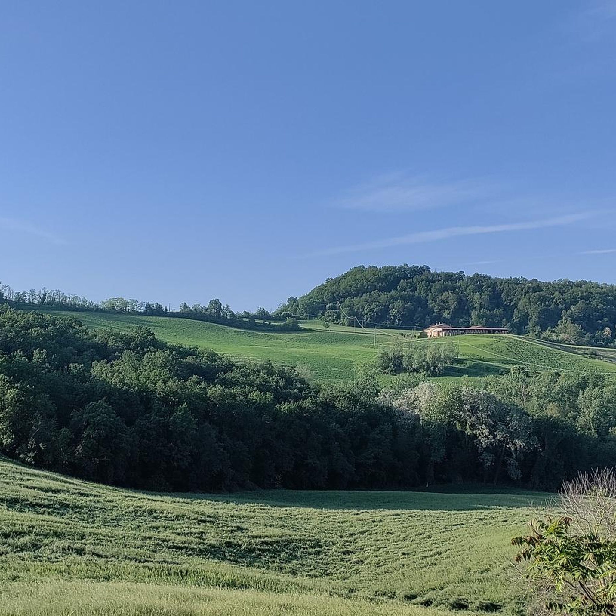
Hiking around Ca' D'Andrea offers tranquil walks through a serene rural landscape. The region is characterized by fertile countryside and a quiet, uncontaminated environment, reflecting its historical agricultural traditions. Trails typically feature minimal elevation changes, making them suitable for relaxed exploration.
Best hiking trails around Ca' D'Andrea
- The most popular hiking route is Oglio Cycle Path: Le Bine Nature Reserve Loop, a 12.2 miles (19.7 km) trail that takes 5 hours to complete. This route explores the Oglio River…
Last updated: October 18, 2026
4.5
(6)
9
hikers
19.7km
04:59
50m
50m
Hike along the Oglio River in Piadena, a moderate 12.2-mile route through riverine landscapes, cultivated fields, and nature reserves.
3.5
(2)
5
hikers
7.57km
01:55
20m
20m
Easy hike. Easily walkable paths.

4.0
(3)
7
hikers
19.1km
04:50
40m
40m
Moderate hike. Good fitness required. Easily walkable paths.
4.0
(3)
7
hikers
16.9km
04:17
40m
40m
Moderate hike. Good fitness required. Easily walkable paths.
5.0
(1)
5
hikers
Moderate hike. Good fitness required. Easily walkable paths.
Get access to more routes and recommendations from other explorers.
Already have an account?
Our route recommendations are based on thousands of hikes, rides, and runs completed by other people on komoot.
Start today with a free account
Your next adventure awaits.



Tips from the Community

nice place to relax for a moment
0
0

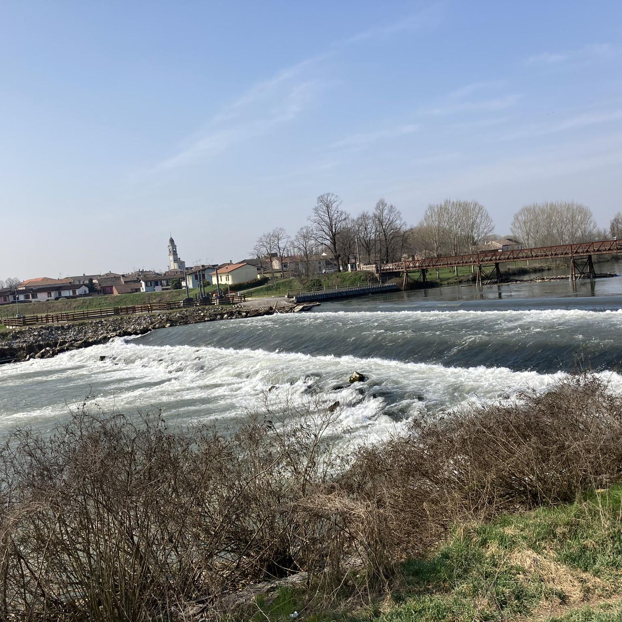
Cycle/pedestrian stretch on a dirt road, which runs along the Oglio river. The route is surrounded by nature and suitable for everyone, completely flat. It is nicknamed "white road" due to the color of the gravel on the bottom.
3
0

Splendid glimpse of the Oglio river
1
0
Le bine is an area protected as a natural reserve by WWF Italy.
2
0
Old mill overlooking the Oglio river.
2
0

Excellent ice cream shop in the heart of Piadena
0
0

Benches, Ombra, and the Oglio river A good point for a break
4
0

Nature reserve - Educational farm - Agriturismo
0
0
Frequently Asked Questions
How many hiking trails are available around Ca' D'Andrea?
There are 14 hiking routes available around Ca' D'Andrea. These trails offer tranquil walks through the serene rural landscape, characterized by fertile countryside and a quiet environment.
What kind of terrain can I expect when hiking near Ca' D'Andrea?
The terrain around Ca' D'Andrea is generally flat with minimal elevation changes, making it suitable for relaxed exploration. You can expect tranquil river paths, open fields, and agricultural areas, reflecting the region's historical agricultural traditions.
Are there any easy or beginner-friendly hiking routes in Ca' D'Andrea?
Yes, Ca' D'Andrea offers several easy routes perfect for beginners or those seeking a relaxed walk. For example, the Abandoned Mill – Old Mill on the Oglio River loop from Piadena Drizzona is an easy 4.6-mile (7.4 km) path that follows the Oglio River.
Can I find circular hiking routes around Ca' D'Andrea?
Yes, many of the routes in Ca' D'Andrea are designed as loops, allowing you to start and end in the same location. An example is the Oglio Cycle Path: Le Bine Nature Reserve Loop, which is a 12.2-mile (19.7 km) circular trail exploring the Oglio River area.
What are some notable landmarks or attractions I can see near the hiking trails?
While hiking around Ca' D'Andrea, you can discover several historical and cultural attractions. Highlights include Piazza Matteotti in Isola Dovarese, the elegant Villa Sommi Picenardi, and the historic Villarocca Historic Farmhouse. You might also encounter the Villa Medici del Vascello or the Church of the Blessed Virgin of Good Counsel of Torricella.
Is Ca' D'Andrea a good destination for family hikes?
Absolutely. Given the tranquil rural landscape and minimal elevation changes, Ca' D'Andrea is well-suited for family hikes. The trails offer a peaceful environment for all ages to enjoy nature without significant physical demands.
Are dogs allowed on the hiking trails in Ca' D'Andrea?
Generally, dogs are welcome on trails in rural areas like Ca' D'Andrea, especially on paths that traverse open fields and agricultural land. However, it's always advisable to keep them on a leash, particularly near farmlands or in nature reserve areas, and to respect local regulations.
What is the best time of year to go hiking in Ca' D'Andrea?
The best time for hiking in Ca' D'Andrea is typically during spring and autumn when the weather is mild and the countryside is at its most vibrant or colorful. Summer can also be pleasant, especially in the mornings or late afternoons, though it can get warm. Winter offers a different, quieter charm, but some paths might be muddy after rain.
Are there options for longer, more moderate hikes in the area?
Yes, while many routes are easy, Ca' D'Andrea also offers moderate options for those looking for a longer walk. For instance, the Chapel – Piadena-Canneto Canal loop from Canneto sull'Oglio is an 11.8-mile (19.1 km) trail leading through rural landscapes, typically completed in about 4 hours 50 minutes.
What do other hikers say about their experience in Ca' D'Andrea?
The hiking routes in Ca' D'Andrea are highly rated by the komoot community, with an average score of 4.05 stars from over 20 reviews. Hikers often praise the tranquil river paths, open fields, and the peaceful, uncontaminated environment, highlighting the area's suitability for relaxed exploration.
Where can I find parking for hiking trailheads in Ca' D'Andrea?
As Ca' D'Andrea is a rural area, parking is generally available in or near the small villages and hamlets that serve as starting points for many trails. Look for designated parking areas in town centers or near local amenities. Always ensure you park responsibly and do not obstruct local access.
Is public transport available to reach hiking areas around Ca' D'Andrea?
Public transport options to specific trailheads in Ca' D'Andrea may be limited due to its rural nature. It's advisable to check local bus schedules for connections to nearby towns like Piadena Drizzona or Canneto sull'Oglio, which are common starting points for several routes. Driving often offers the most flexibility for accessing various trails.
Are there any scenic walks or viewpoints in Ca' D'Andrea?
The scenic beauty of Ca' D'Andrea lies in its expansive, fertile countryside, tranquil riverbanks, and traditional agricultural landscapes. While there aren't dramatic mountain viewpoints, the charm comes from peaceful walks along the Oglio River and through open fields, offering serene vistas of the rural Italian heartland.
Most popular routes around Ca' D'Andrea
Most popular attractions around Ca' D'Andrea

Get inspired with the komoot mobile app


Explore more
Browse the best Hikes in other regions.
