The best walks and hikes around Voltido
4.2
(22)
66
hikers
17
hikes
Hiking around Voltido, a municipality in the flat Po Valley, offers opportunities to explore a landscape primarily characterized by cultivated fields and riverine environments. The area, located in the Province of Cremona, Lombardy, Italy, provides access to walking paths along the Oglio River. These routes wind through local nature reserves and agricultural land, offering a gentle outdoor experience. The terrain is generally flat with minimal elevation changes, typical of the Po Valley.
Best hiking trails around Voltido
- The most popular…
Last updated: July 1, 2026
4.5
(6)
9
hikers
19.7km
04:59
50m
50m
Moderate hike. Good fitness required. Easily-accessible paths. Suitable for all skill levels.
3.5
(2)
5
hikers
7.57km
01:55
20m
20m
Easy hike. Great for any fitness level. Easily-accessible paths. Suitable for all skill levels.

Sign up for free
4.0
(3)
7
hikers
19.1km
04:50
40m
40m
Moderate hike. Good fitness required. Easily-accessible paths. Suitable for all skill levels.
5.0
(1)
5
hikers
Moderate hike. Good fitness required. Easily-accessible paths. Suitable for all skill levels.
5.0
(2)
3
hikers
7.86km
01:59
20m
20m
Easy hike. Great for any fitness level. Easily-accessible paths. Suitable for all skill levels.
Get access to more routes and recommendations from other explorers.
Sign up for free
Already have an account?
Our route recommendations are based on thousands of hikes, rides, and runs completed by other people on komoot.
Start today with a free account
Your next adventure awaits.
Login or Signup


Tips from the Community

nice place to relax for a moment
0
0

Cycle/pedestrian stretch on a dirt road, which runs along the Oglio river. The route is surrounded by nature and suitable for everyone, completely flat. It is nicknamed "white road" due to the color of the gravel on the bottom.
2
0

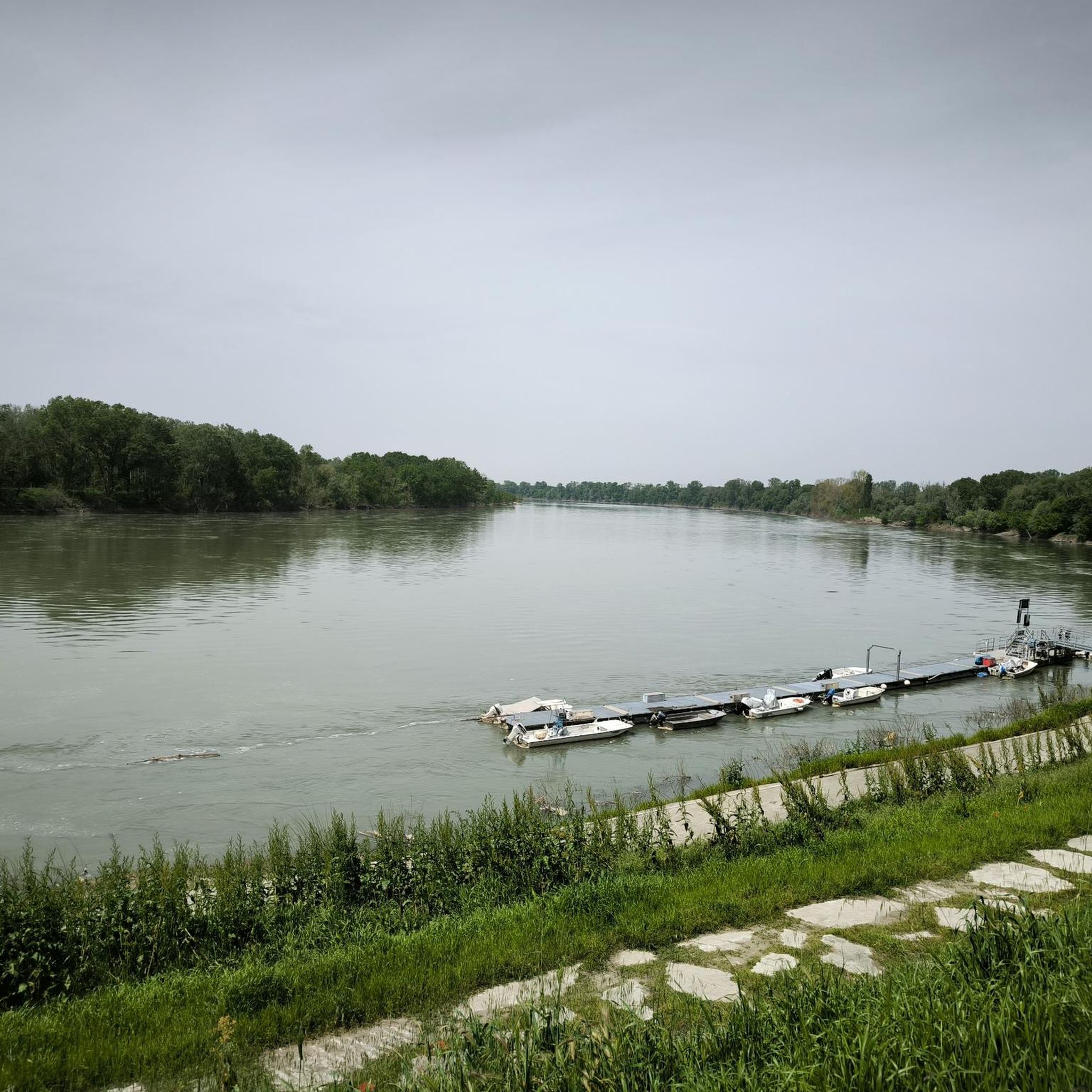
Splendid glimpse of the Oglio river
1
0
Le bine is an area protected as a natural reserve by WWF Italy.
2
0
Old mill overlooking the Oglio river.
1
0

Excellent ice cream shop in the heart of Piadena
0
0

Benches, Ombra, and the Oglio river A good point for a break
4
0

Nature reserve - Educational farm - Agriturismo
0
0
Frequently Asked Questions
What kind of hiking experience can I expect around Voltido?
Hiking around Voltido offers a gentle outdoor experience within the flat Po Valley. The routes primarily feature riverine environments, cultivated fields, and local nature reserves, especially along the Oglio River. The terrain is generally flat with minimal elevation changes, making it suitable for easy to moderate walks.
Are there any easy hiking trails suitable for beginners or families?
Yes, there are several easy trails. For instance, the Abandoned Mill – Old Mill on the Oglio River loop from Piadena Drizzona is an easy 7.38 km path that takes under two hours, offering views of the Oglio River and historical mill sites. This route is well-suited for families or those seeking a relaxed walk.
What are some longer hiking options in the Voltido area?
For a longer outing, consider the Oglio Cycle Path: Le Bine Nature Reserve Loop. This moderate trail spans nearly 20 km and typically takes around 5 hours to complete, exploring the Oglio River and its nature reserve. Another option is the Chapel – Piadena-Canneto Canal loop from Canneto sull'Oglio, an 19 km trail through riverine landscapes and agricultural areas.
Are there any circular walking routes available?
Many of the routes in the Voltido area are designed as loops, offering circular walks. Examples include the Oglio Cycle Path: Le Bine Nature Reserve Loop and the Abandoned Mill – Old Mill on the Oglio River loop from Piadena Drizzona, both of which allow you to start and finish in the same location.
What kind of natural features or landscapes will I encounter on the trails?
The hiking trails around Voltido are characterized by the flat Po Valley landscape. You will primarily encounter riverine environments along the Oglio River, vast cultivated fields, and local nature reserves. These areas provide a tranquil setting to observe local flora and fauna.
What interesting landmarks or historical sites can I see near the hiking routes?
While hiking, you can explore several points of interest. Near Isola Dovarese, you might visit Piazza Matteotti, a historical site. Other notable attractions in the broader area include Villa Sommi Picenardi and the Villarocca Historic Farmhouse, offering glimpses into the region's heritage.
What do other hikers say about the trails around Voltido?
The routes in Voltido are highly rated by the komoot community, with an average score of 4.05 stars from over 20 reviews. Hikers often appreciate the peaceful riverine paths and the opportunity to explore the agricultural landscapes of the Po Valley.
Are there any moderate hiking trails for those looking for a bit more challenge?
Yes, there are several moderate options. The Chapel – Historic Church loop from Isola Dovarese is a moderate 18.28 km route. Another moderate choice is the Piadena-Canneto Canal – Old Mill on the Oglio River loop from Canneto sull'Oglio, which covers about 12.78 km.
Is Voltido easily accessible by public transport for hikers?
Information regarding direct public transport links specifically for hikers to trailheads in Voltido is limited. The area is primarily rural, and while there might be local bus services connecting Voltido to larger towns in the Province of Cremona, planning for public transport to specific starting points of hiking trails may require local inquiry or a combination of transport methods.
Where can I find parking when hiking in Voltido?
As Voltido is a small municipality and the trails often start from nearby towns like Piadena Drizzona or Canneto sull'Oglio, parking is generally available in these village centers or near specific points of interest. It's advisable to check local parking options upon arrival in the starting village for your chosen route.
What is the best time of year to go hiking in Voltido?
The best time to hike in Voltido is typically during the spring (April to June) and autumn (September to October) months. During these periods, the weather is generally mild and pleasant, making for comfortable walking conditions. Summers can be quite warm in the Po Valley, while winters can be cold and damp.
Are the hiking trails around Voltido suitable for dogs?
Many of the rural paths and riverine trails in the Voltido area are generally suitable for dogs, provided they are kept under control, especially when passing through cultivated fields or near livestock. Always ensure to follow local regulations regarding dogs on trails and be respectful of private property and agricultural land.
Most popular attractions around Voltido

Get inspired with the komoot mobile app


Explore more
Browse the best Hikes in other regions.
