The best walks and hikes around Crotta D'Adda
4.4
(110)
1,125
hikers
113
hikes
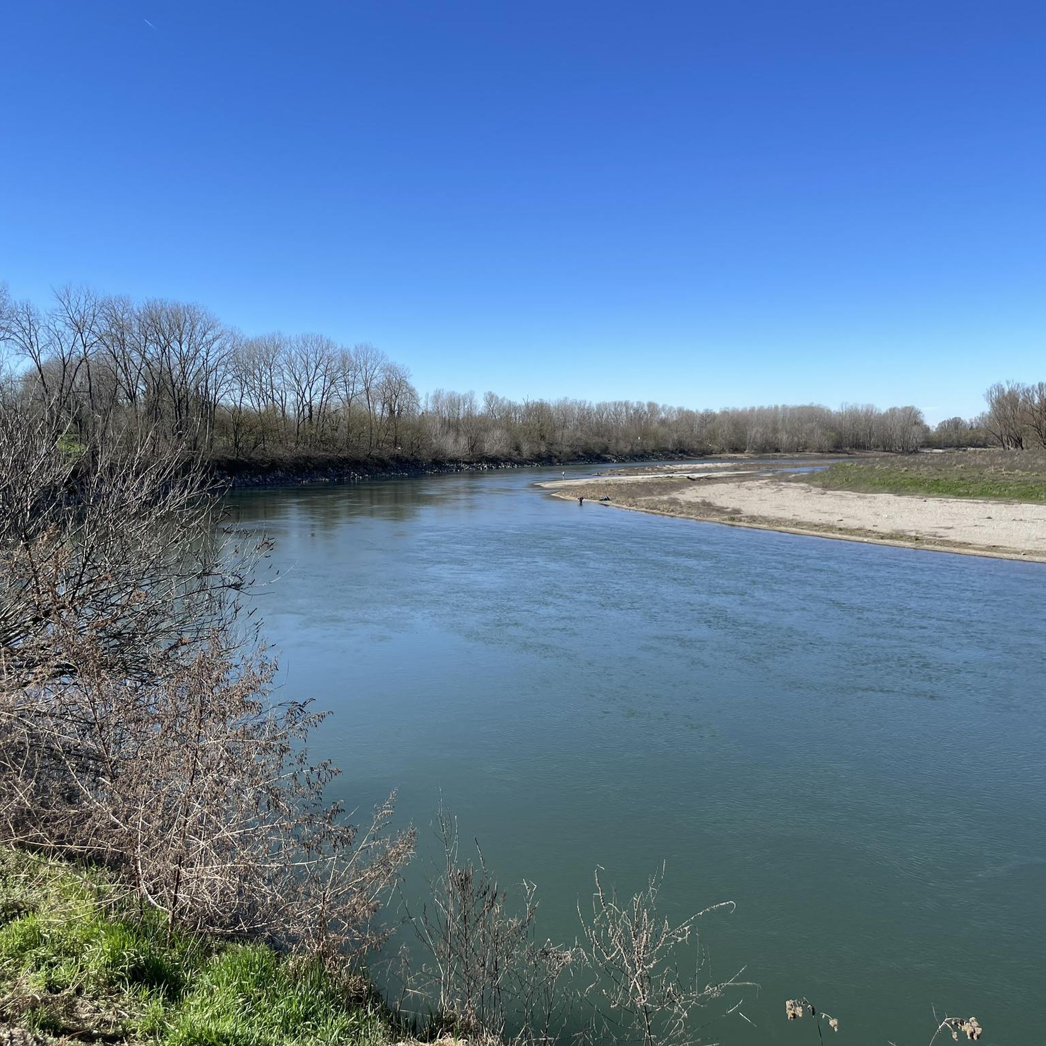
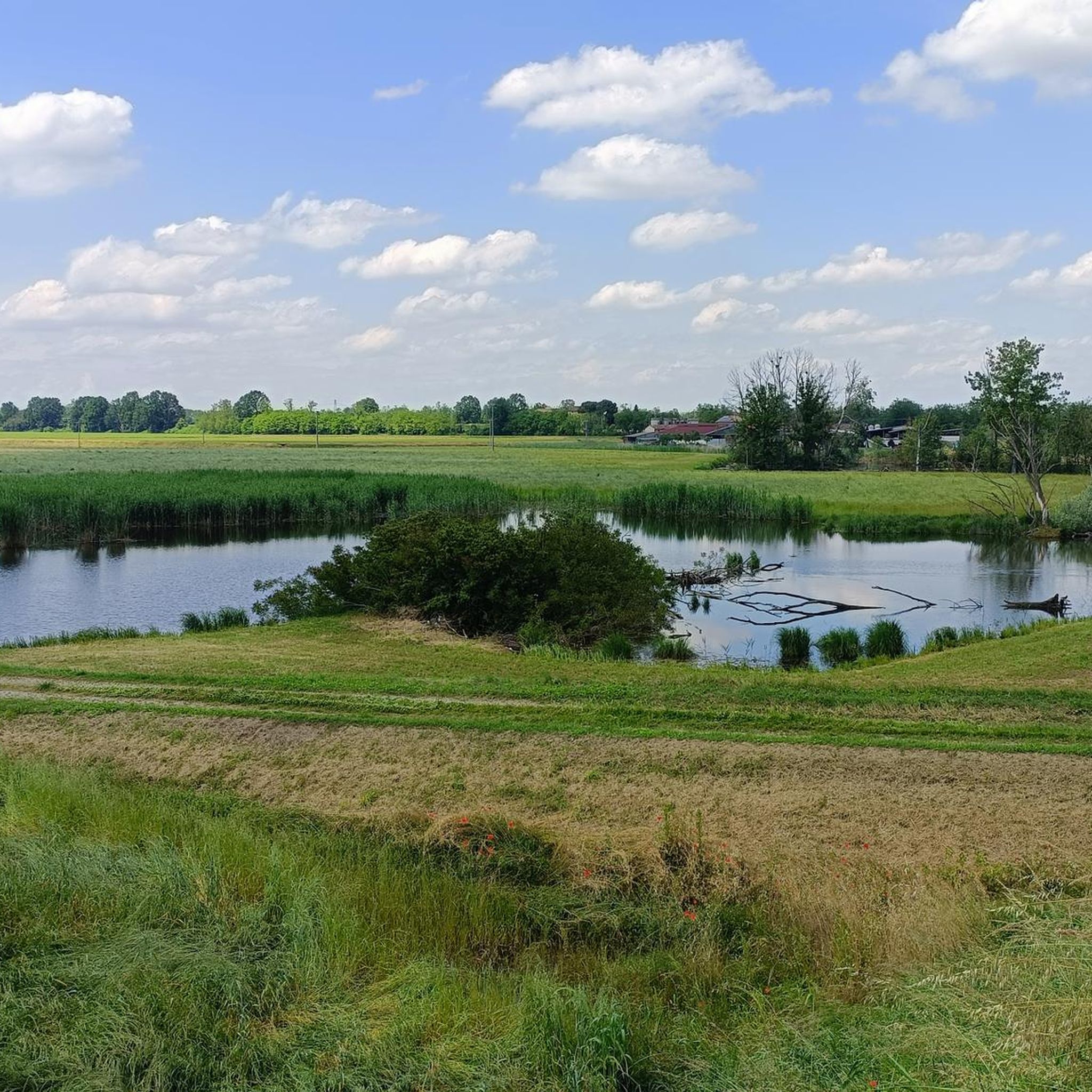
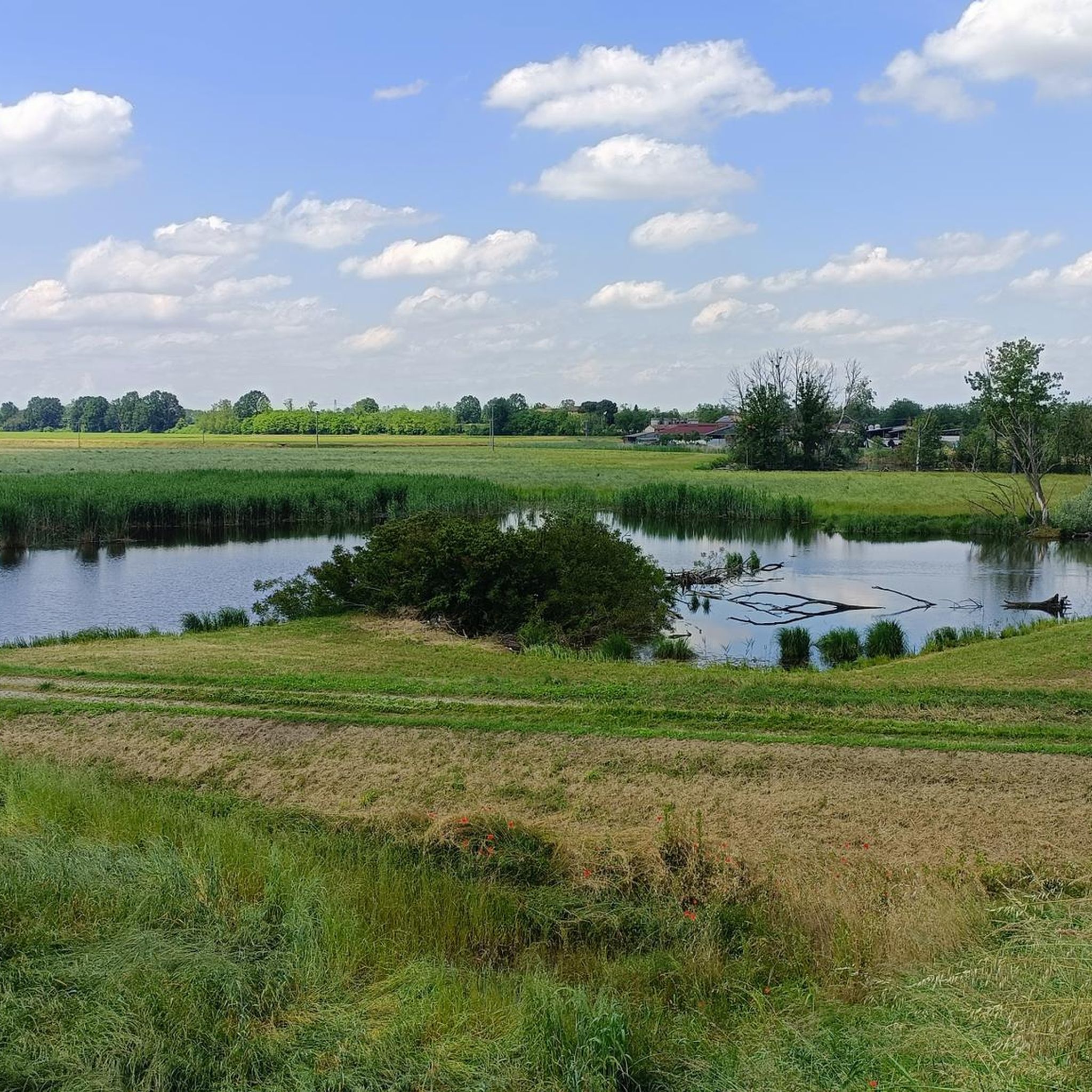
Hiking around Crotta D'Adda offers routes primarily through flat, riverine landscapes, characterized by the Adda and Po rivers. The region features extensive floodplains and agricultural areas, providing gentle paths suitable for various activity levels. Elevation changes are minimal, making the terrain accessible for easy hikes Crotta D'Adda.
Best hiking trails around Crotta D'Adda
- The most popular hiking route is From Pizzighettone to the Castello Borromeo di Camairago – loop tour, an 8.7 miles (13.9 km) trail that takes 3…
Last updated: July 7, 2026
4.0
(2)
4
hikers
7.82km
01:59
10m
20m
This easy 4.9-mile hiking loop along the Adda River and Canal offers picturesque scenery and historical sites in Parco Adda Sud.
2
hikers
9.91km
02:30
20m
20m
Embark on the Golena del Po Trail, a moderate hike spanning 6.2 miles (9.9 km) with a gentle elevation gain of 61 feet (19 metres), typically completed in 2 hours…

Sign up for free
4.5
(2)
6
hikers
Moderate hike. Good fitness required. Easily-accessible paths. Suitable for all skill levels.
5.0
(1)
6
hikers
Easy hike. Great for any fitness level. Easily-accessible paths. Suitable for all skill levels.
7
hikers
7.95km
02:00
10m
10m
Moderate hike. Good fitness required. Easily-accessible paths. Suitable for all skill levels.
Get access to more routes and recommendations from other explorers.
Sign up for free
Already have an account?
Our route recommendations are based on thousands of hikes, rides, and runs completed by other people on komoot.
Start today with a free account
Your next adventure awaits.
Login or Signup

Tips from the Community

The road is no longer unpaved but is part of the VENTO cycle path, the surface is asphalted
0
0
A dense network of country paths connect Camairago and Cavacurta with the Adda embankment and Pizzighettone
0
0

The Pizzighettone railway bridge is an important metal arch infrastructure located on the Pavia-Mantova line (in the Codogno-Cremona section) which crosses the Adda river, connecting the Pizzighettone station with the Ponte d'Adda stop.
0
0

Excellent Acqua💧 Point point to stock up on fresh water via the Padania Acque QR code
0
0

Splendid example of Romanesque architecture with terracotta bricks.
1
0

In this stretch the road is very close to the river and it is scenic, furthermore there is a farmhouse nearby
0
0

GERA - view of the Adda river from the bridge
0
0

Here, between the dirt road and the main road, there are tables with benches where you can stop for a break.
1
0
Frequently Asked Questions
How many hiking trails are available around Crotta D'Adda?
There are over 70 hiking routes available around Crotta D'Adda, catering to various skill levels. The komoot community has recorded 78 tours in the area.
Are there easy hiking options in Crotta D'Adda suitable for beginners or families?
Yes, Crotta D'Adda is well-suited for easy hikes and families due to its flat, riverine landscape. About 35 of the available tours are rated as easy. A good option is the South Adda Ring Trail, an easy 4.9-mile (7.8 km) path following the Adda River.
What kind of terrain can I expect on hikes around Crotta D'Adda?
Hikes around Crotta D'Adda primarily feature flat, riverine landscapes along the Adda and Po rivers. You'll encounter extensive floodplains and agricultural areas, with minimal elevation changes, making for generally gentle paths.
Are there any circular walks in the Crotta D'Adda area?
Yes, several circular walks are available. For example, the popular From Pizzighettone to the Castello Borromeo di Camairago – loop tour is an 8.7-mile (13.9 km) circular route. Another option is From Pizzighettone along the Adda – loop tour.
Can I bring my dog on the hiking trails in Crotta D'Adda?
Generally, the flat, open nature of the trails along the rivers and through agricultural areas makes them suitable for dogs. However, always ensure your dog is on a leash, especially near farmlands or protected natural areas, and check local regulations for specific routes.
What are some interesting landmarks or attractions I can see near the hiking trails?
The region offers several historical and architectural sights. You can explore castles like the Borromeo Castle of Camairago or the Maccastorna and its castle. Other notable attractions include the Pizzighettone Walls and the Adda River Bridge and Visconti Tower in Pizzighettone.
Is public transport available to reach hiking trailheads in Crotta D'Adda?
While some towns like Pizzighettone may have limited public transport connections, many trailheads in the rural Crotta D'Adda area are best accessed by car. It's advisable to check local bus schedules if you plan to rely on public transport.
Where can I find parking for hiking in Crotta D'Adda?
Parking is typically available in the towns and villages that serve as starting points for hikes, such as Pizzighettone. Look for designated parking areas near historical sites or town centers. Always park responsibly and respect local signage.
What is the best time of year to go hiking in Crotta D'Adda?
Spring and autumn are ideal for hiking in Crotta D'Adda, offering pleasant temperatures and beautiful scenery. Summer can be warm, but the riverine paths often provide some shade. Winter hiking is possible, but trails might be damp, and some services could be limited.
Are there any cafes or places to eat near the hiking routes?
Yes, you can find cafes, restaurants, and trattorias in the towns and villages along the rivers, such as Pizzighettone. These offer opportunities to refuel and enjoy local cuisine before or after your hike.
What do other hikers say about the trails in Crotta D'Adda?
The trails in Crotta D'Adda are highly rated by the komoot community, with an average score of 4.4 stars from over 80 reviews. Hikers often praise the peaceful river views, the flat and accessible terrain, and the opportunity to explore historical sites like the Pizzighettone walls.
Are there any longer, more challenging hikes available?
While the region is predominantly flat, there are some longer routes that offer a moderate challenge due to their distance. For instance, the Golena del Po Trail is a 6.2-mile (9.9 km) moderate trail, and the From Pizzighettone to the Castello Borromeo di Camairago – loop tour is 8.7 miles (13.9 km) long.
Are there specific viewpoints along the trails?
Given the flat terrain, dramatic elevated viewpoints are rare. However, the trails along the Adda and Po rivers offer scenic vistas of the waterways, floodplains, and surrounding agricultural landscapes. The bridges, such as the Adda River Bridge in Pizzighettone, provide good vantage points over the river.
Most popular routes around Crotta D'Adda
Most popular attractions around Crotta D'Adda

Get inspired with the komoot mobile app


Explore more
Browse the best Hikes in other regions.
