The best road cycling routes around Thalfang
4.6
(177)
2,101
riders
12
rides
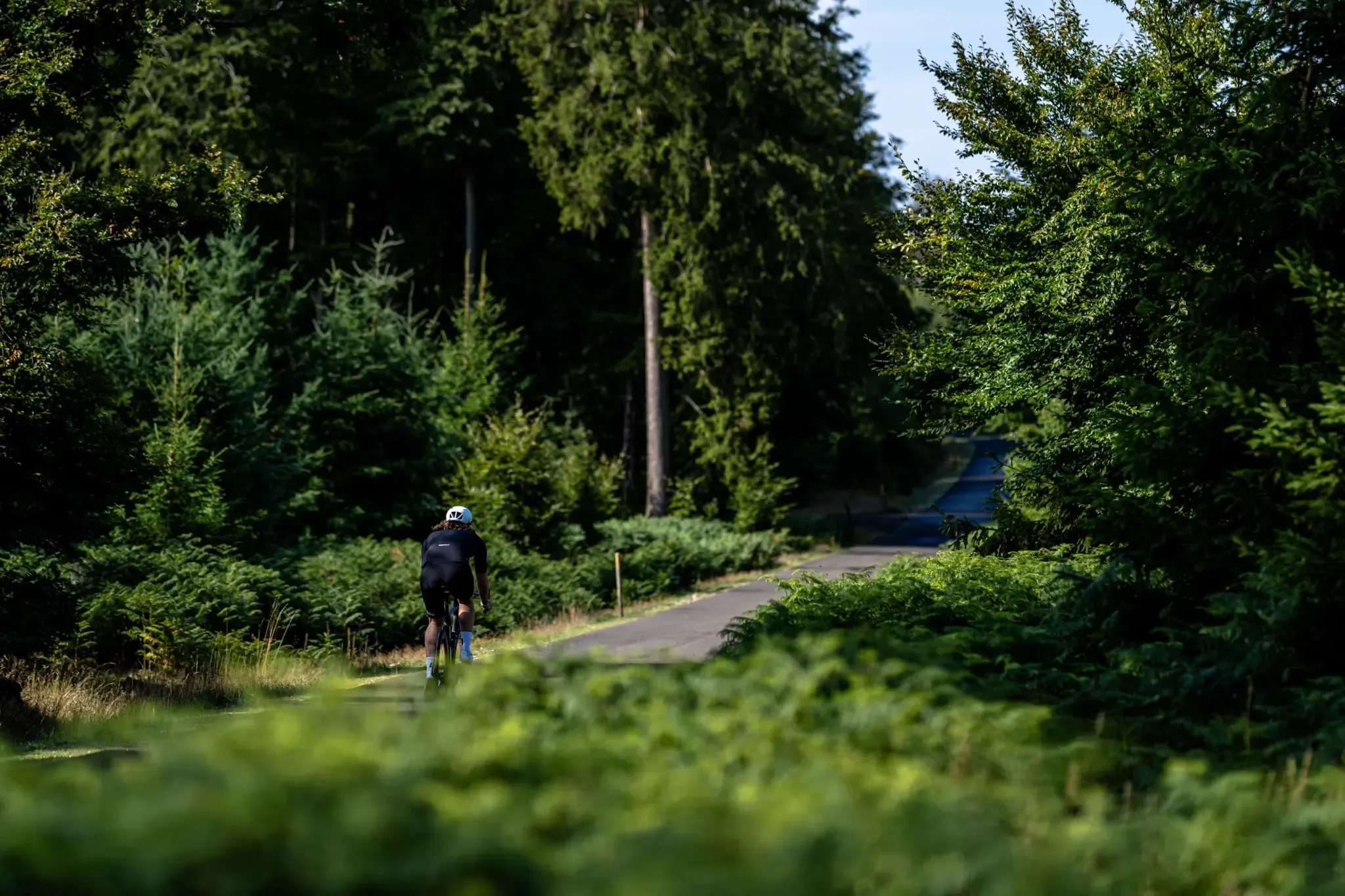
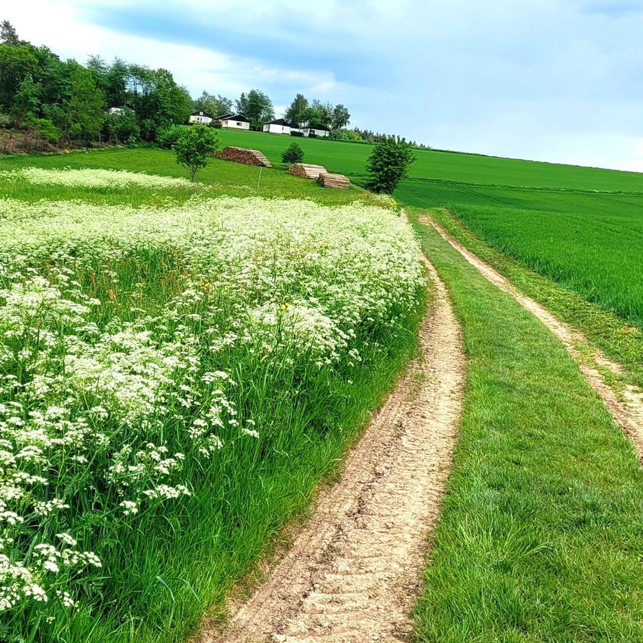
Road cycling routes around Thalfang are set within the Bernkastel-Wittlich district, characterized by green forests and rolling hills of the Hunsrück low mountain range. The region offers diverse landscapes, including both forest and field paths, as well as asphalted roads suitable for road cycling. Elevations reach up to 816 meters at the Erbeskopf, the highest point in Rhineland-Palatinate, providing varied terrain for cyclists.
Best road cycling routes around Thalfang
- The most popular road cycling route is Erbeskopf Cycle Path – Hermeskeil Aircraft Exhibition loop from Thalfang, a 28.2 miles (45.4 km) trail that takes 2 hours 16 minutes to complete. This moderate route features significant elevation gain as it approaches the Erbeskopf.
- Another top favourite among local road cyclists is Windklang Sculpture, Erbeskopf – Erbeskopf Observation Tower loop from Thalfang, a moderate 30.3 miles (48.8 km) path. This route includes challenging ascents towards the Erbeskopf Observation Tower, offering panoramic views.
- Local road cyclists also love the Windklang Observation Tower – Erbeskopf Viewpoint loop from Thalfang, a 24.6 miles (39.6 km) trail leading through the Hunsrück landscape, often completed in about 2 hours 2 minutes.
- Road cycling around Thalfang is defined by rolling hills, dense forests, and the prominent Erbeskopf. The network offers options for different ability levels, from moderate loops to more challenging ascents.
- The routes in Thalfang are highly rated by the komoot community with an average score of 4.7 stars from more than 5 reviews. More than 90 road cyclists have used komoot to explore Thalfang's varied terrain.
Last updated: October 6, 2026
19
riders
Moderate road ride. Good fitness required. Some segments of this route may be unpaved and difficult to ride.
4.0
(1)
9
riders
48.9km
02:40
860m
860m
Moderate road ride. Good fitness required. Some segments of this route may be unpaved and difficult to ride.

5.0
(2)
14
riders
39.2km
02:00
660m
660m
Moderate road ride. Good fitness required. Some segments of this route may be unpaved and difficult to ride.
5.0
(1)
14
riders
Moderate road ride. Good fitness required. Mostly well-paved surfaces and easy to ride.
4.5
(2)
9
riders
26.5km
01:21
430m
430m
Moderate road ride. Good fitness required. Mostly well-paved surfaces and easy to ride.
Get access to more routes and recommendations from other explorers.
Already have an account?
Our route recommendations are based on thousands of hikes, rides, and runs completed by other people on komoot.
Start today with a free account
Your next adventure awaits.
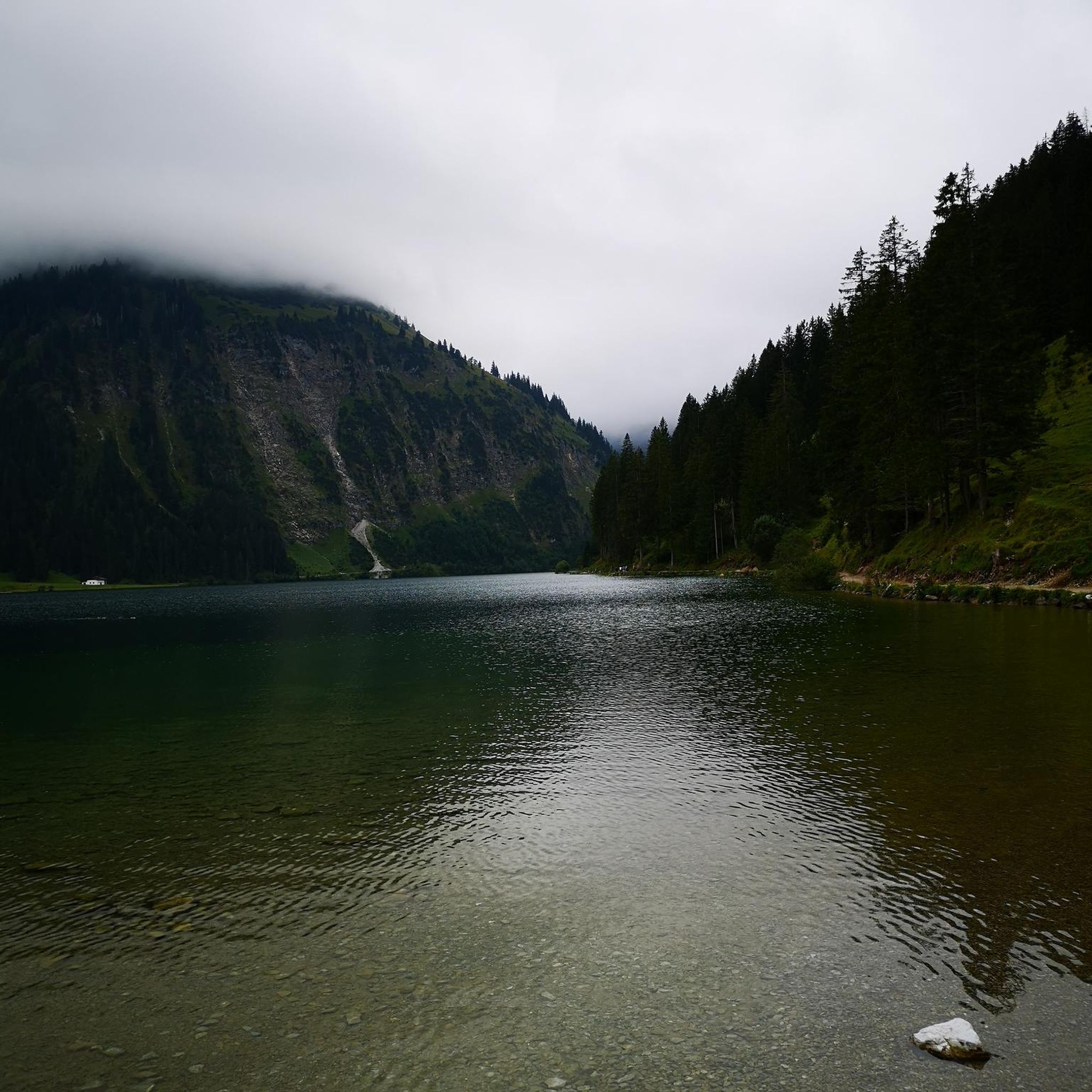
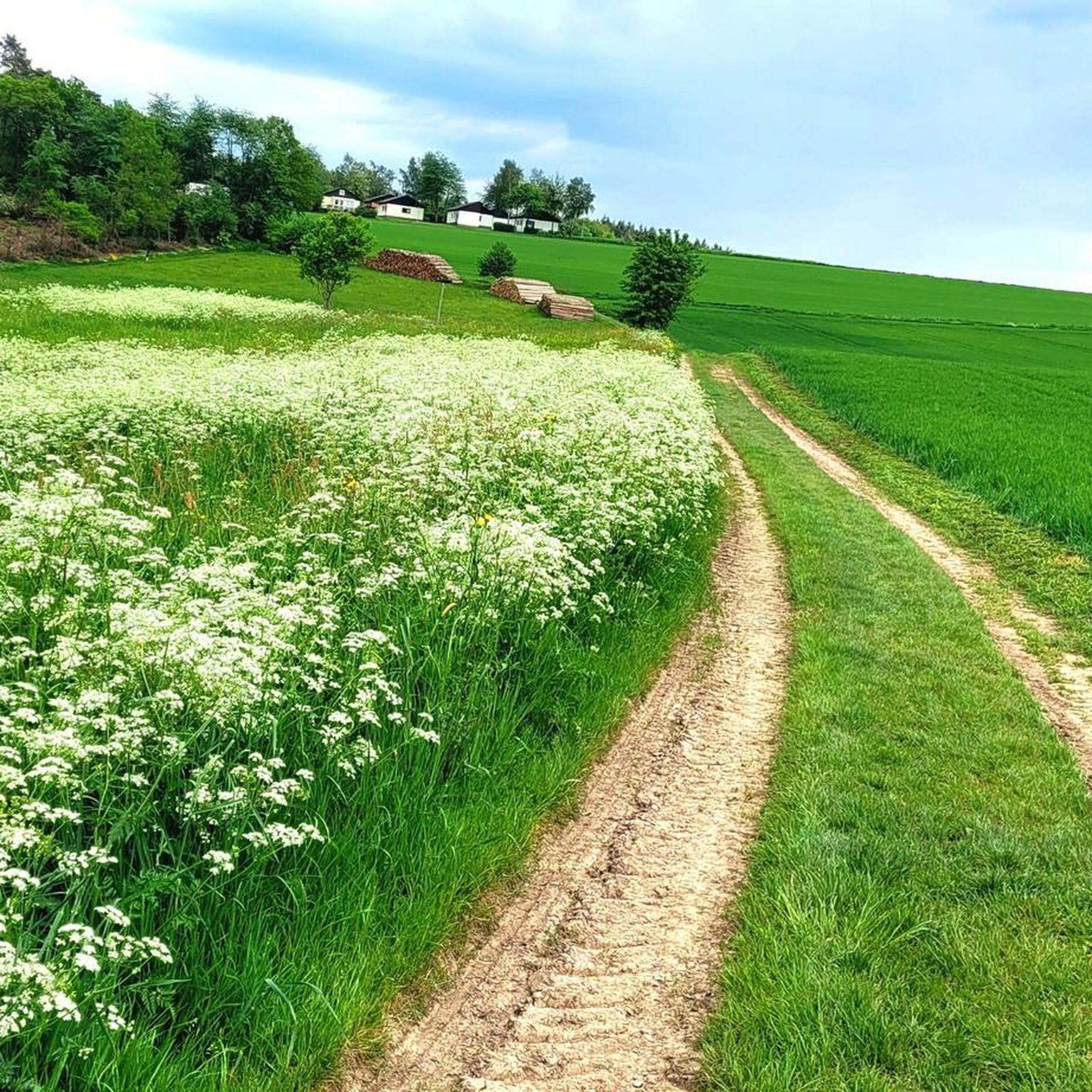
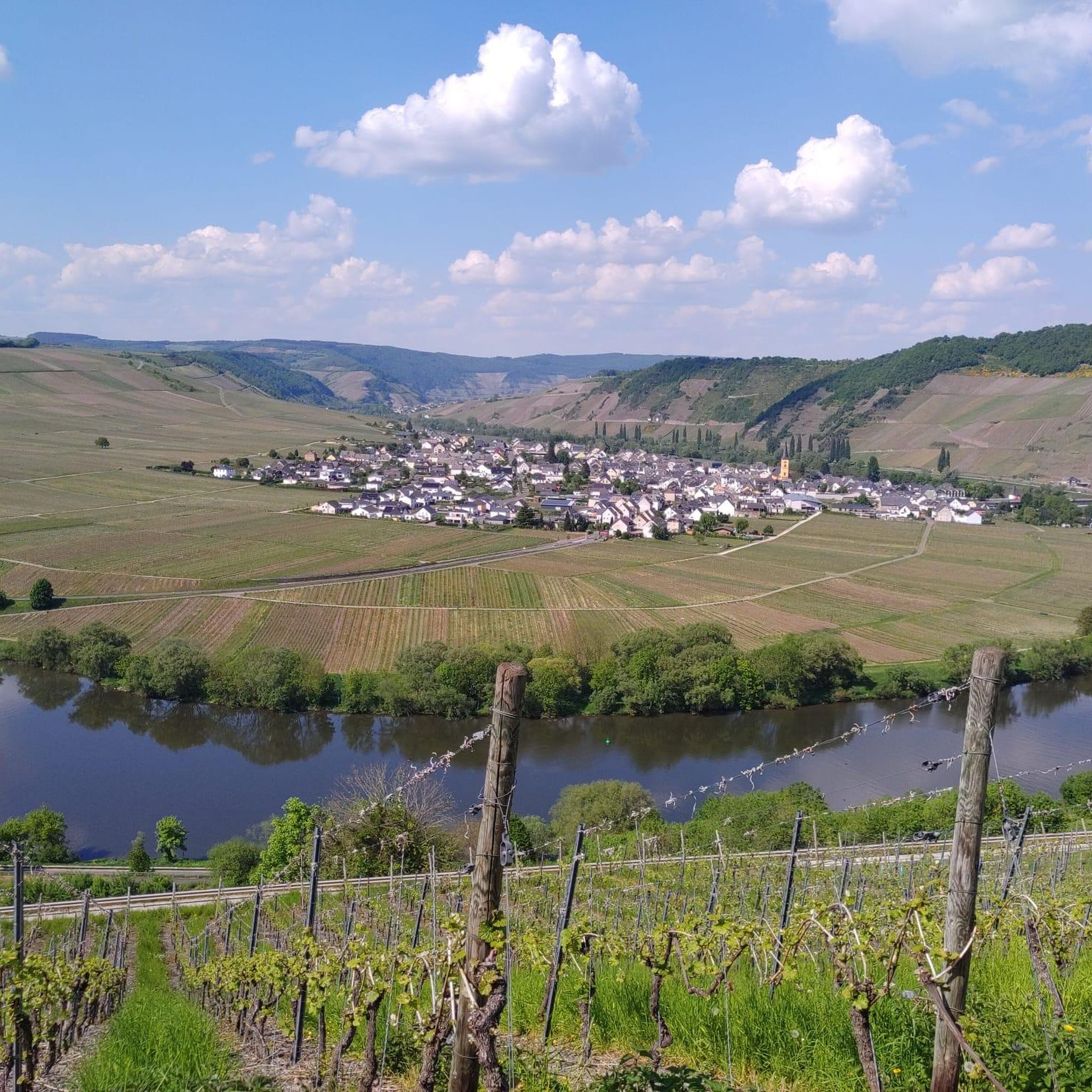

Tips from the Community

Beautiful views into the Hunsrück and onto the National Park
0
0
Great, really super use of the slope
0
0
Nice to ride over, pure nature :-D
0
0
Beautiful trails invite you to bike
0
0

I drove past it, but didn't take a photo
0
0

Beautiful view over the region.
1
0

Very nice cycle path, easy to cycle uphill...
0
0
Frequently Asked Questions
How many road cycling routes are available around Thalfang?
Thalfang offers a diverse network of over 10 road cycling routes, catering to various skill levels. These routes traverse the green forests and rolling hills of the Hunsrück low mountain range, with elevations reaching up to 816 meters at the Erbeskopf.
What kind of surfaces can I expect on road cycling routes in Thalfang?
The routes around Thalfang feature a mix of surfaces. While many sections are on asphalted roads, especially those connecting villages or offering scenic views, some routes, particularly those part of the 'HUNSRÜCK Rad-Aktiv-Routes' or approaching the Erbeskopf, may include forest and field paths. For dedicated road cycling, look for routes described as having 'finest asphalt near Kirchberg' or specific road bike routes like 'From the Moselle to the Erbeskopf'.
Are there road cycling routes for different skill levels in Thalfang?
Yes, Thalfang provides routes for various skill levels. You'll find moderate loops, such as the Erbeskopf Cycle Path – Hermeskeil Aircraft Exhibition loop from Thalfang, which is 45.4 km with significant elevation gain. For more challenging rides, routes like the Windklang Sculpture, Erbeskopf – Erbeskopf Observation Tower loop from Thalfang include demanding ascents towards the Erbeskopf Observation Tower.
Where can I find parking when road cycling in Thalfang?
Thalfang, being a hub for outdoor activities, typically offers parking options, often near the Tourist Information or trailheads. Specific parking details for individual routes are usually available on their respective komoot tour pages.
Is it possible to reach Thalfang by public transport with my bike?
While Thalfang is well-connected for cyclists, options for transporting bikes on public transport (buses or trains) in the Hunsrück region can vary. It's advisable to check with local public transport providers for their specific policies regarding bike carriage before planning your trip.
What is the best season for road cycling in Thalfang?
The best season for road cycling in Thalfang is generally from spring to autumn. During these months, the weather is most favorable for enjoying the region's green forests and rolling hills. Winter can bring snow, especially at higher elevations like the Erbeskopf, making it more suitable for winter sports.
Are there family-friendly road cycling routes in Thalfang?
While many routes around Thalfang feature significant elevation changes, there are options that can be more suitable for families, especially those on flatter sections or dedicated cycle paths. The 'Nahe-Hunsrück-Moselle cycle path' offers a longer, generally less strenuous option through romantic valleys and historic villages, which might be suitable for families seeking a more relaxed ride.
Can I bring my dog on road cycling routes in the Thalfang area?
When cycling with a dog, it's important to consider the terrain and local regulations. While many forest and field paths might be suitable, the Hunsrück-Hochwald National Park, which is adjacent to Thalfang, has specific rules for dogs, often requiring them to be on a leash. Always check local signage and park guidelines.
What can I see along the road cycling routes in Thalfang?
Road cycling routes in Thalfang offer access to several notable attractions. You can cycle towards the Erbeskopf (highest point in Rhineland-Palatinate), where you'll find the Windklang Sculpture and the Erbeskopf Viewpoint, offering panoramic vistas. Other points of interest include the historic Hochwaldbahn locomotive "Wiesel" and the scenic Dhron Valley.
Are there any circular road cycling routes starting from Thalfang?
Yes, many road cycling routes around Thalfang are designed as loops, allowing you to start and finish in the same location. Examples include the Windklang Observation Tower – Erbeskopf Viewpoint loop from Thalfang and the View of the Hunsrück Hills – Heidenburg village loop from Thalfang, providing convenient options for exploring the region.
What do other road cyclists enjoy the most about road cycling in Thalfang?
The road cycling experience in Thalfang is highly rated by the komoot community, with an average score of 4.7 stars. Reviewers often praise the diverse landscapes, from dense forests to rolling hills, and the prominent Erbeskopf, which offers both challenging ascents and rewarding panoramic views. The variety of routes, catering to different ability levels, is also a frequently highlighted positive aspect.
Are there any specific long-distance road cycling paths connected to Thalfang?
Beyond local loops, Thalfang is connected to longer regional routes. The 'Nahe-Hunsrück-Moselle cycle path' is an 87-kilometer route that connects the Nahe and Moselle rivers, traversing the Hunsrück low mountain range. This path offers a comprehensive experience through romantic valleys, historic villages, and wine-growing regions, making it ideal for longer excursions.
Most popular routes around Thalfang
Most popular attractions around Thalfang

Get inspired with the komoot mobile app


Explore more
Browse the best Road cycling routes in other regions.
