The 20 Most Amazing Peaks around Marchirolo
Best mountain peaks around Marchirolo offer access to diverse natural attractions in the province of Varese, Italy. The region is characterized by its mountainous terrain, providing panoramic views of Lake Lugano and the Swiss Alps. Visitors can explore historical trails and military fortifications, integrating cultural significance with outdoor activities. The area provides a variety of hiking opportunities across different landscapes.
Best mountain peaks around Marchirolo
- The most popular mountain peaks is View from Monte San Salvatore, a viewpoint that…
Last updated: July 6, 2026
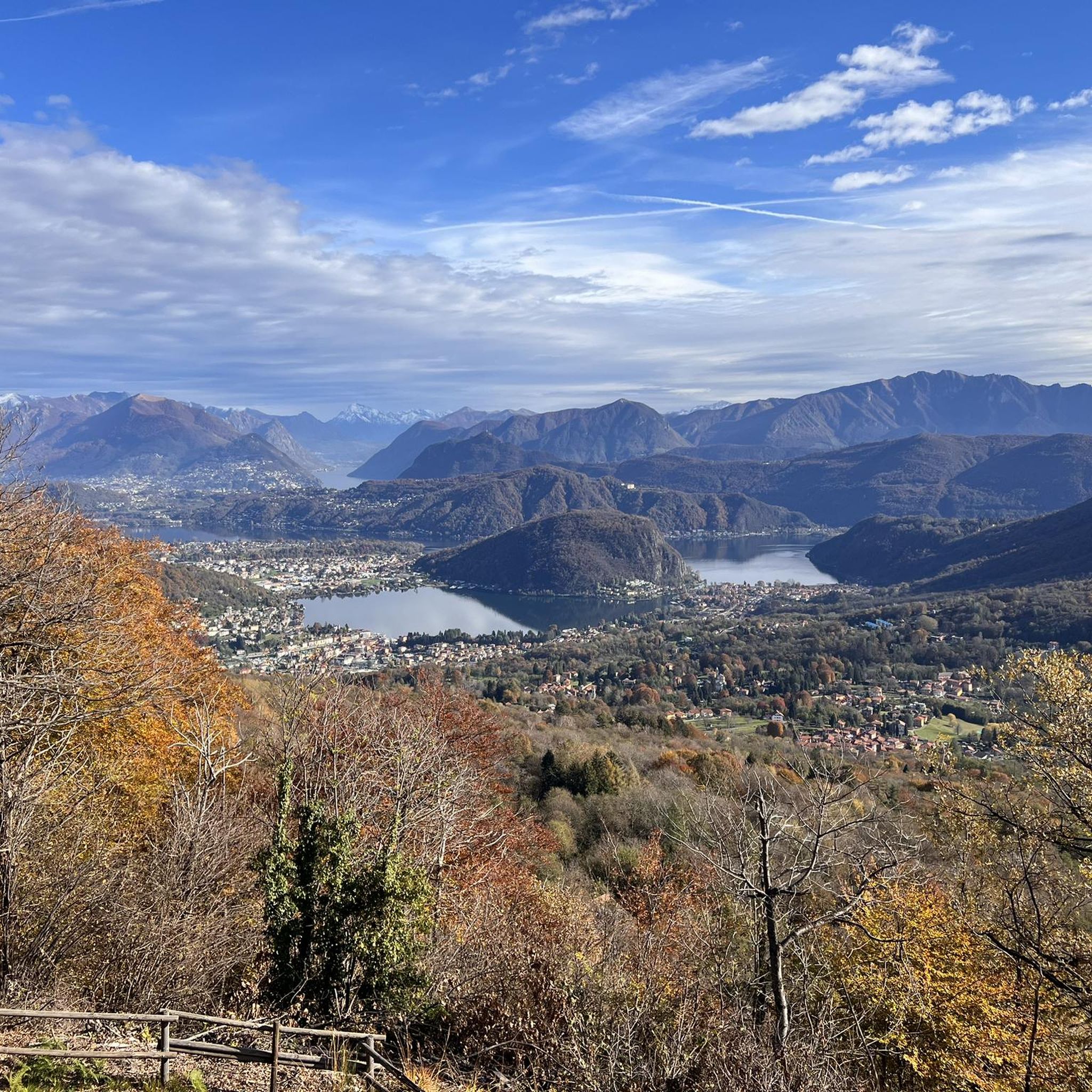
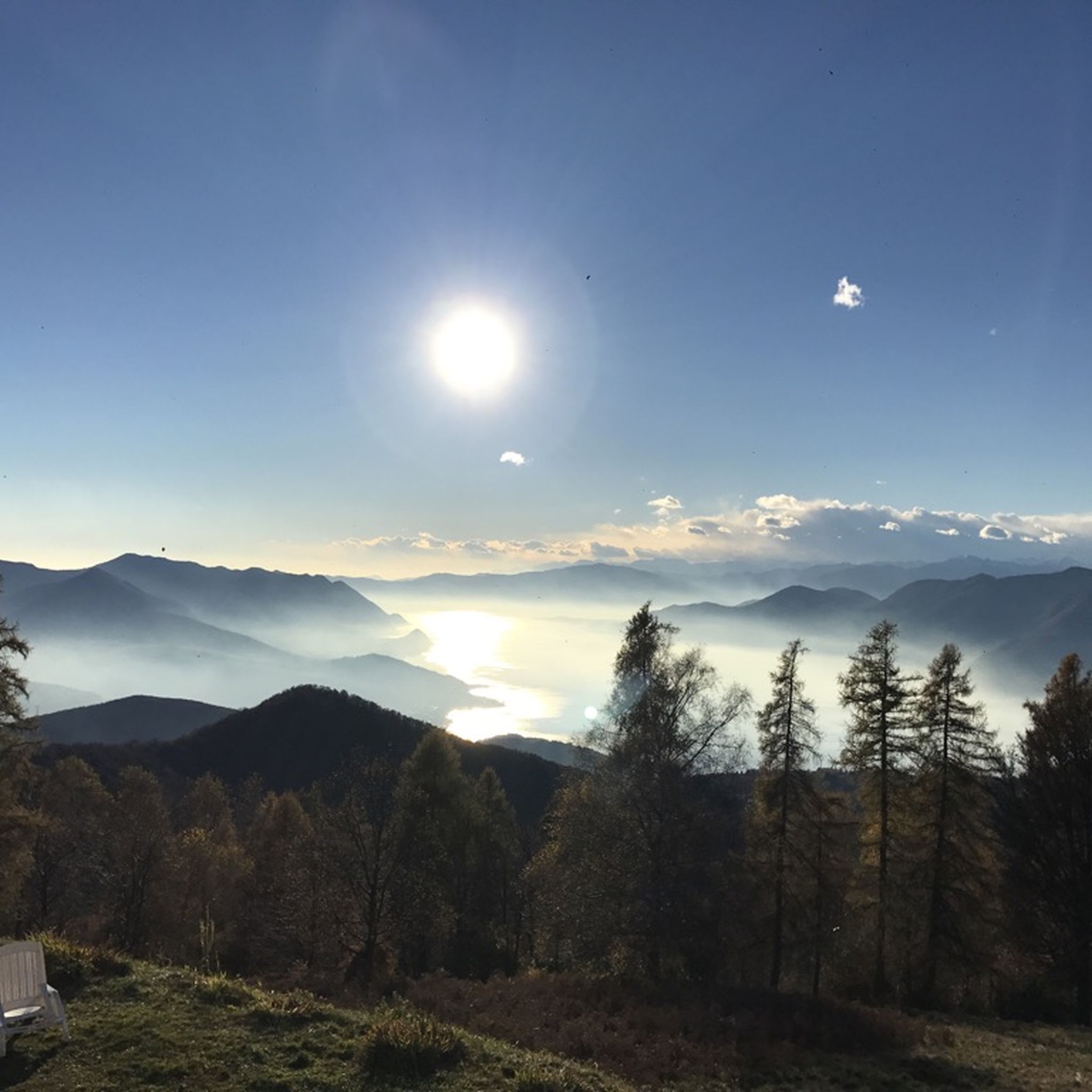
View from Monte San Salvatore
Highlight • Viewpoint
Translated by Google •
Tip by

View of Lake Lugano from Monte San Giorgio
Highlight • Viewpoint
There is …
Translated by Google •
Tip by

Sign up now to discover places like this
Get recommendations on the best single tracks, peaks, & plenty of other exciting outdoor places.
Sign up for free
Monte Lema
Highlight • Summit
Translated by Google •
Tip by
Monte Chiusarella — Summit and Summit Cross
Highlight • Summit
Translated by Google •
Tip by

Monte Lema Summit Hostel
Highlight • Mountain Hut
Translated by Google •
Tip by

Sign up for free to discover even more peaks around Marchirolo.
Sign up for free
Already have an account?
Start today with a free account
Your next adventure awaits.
Login or Signup

Tips from the Community

scenically very great tour. Top Top Top
0
0


It's definitely tiring but the view makes up for the effort, if you want there's a cable car from Miglieglia😁
0
0

Pleasant. Be very careful when cutting through the woods or taking the short route. The gentlest route, starting from Rasa keeping to the right, is suitable for practically everyone.
0
0


From the top of San Giorgio, located at an altitude of 1000 meters in the south of Ticino, you can enjoy a panorama that ranges between the lake and the mountains
0
0

The top offers a breathtaking view!
0
0

Monte San Giorgio is a wonderful 1097 m peak located in the Mendrisiotto area. From the top you can perfectly observe the entire Ceresio area and the city of Lugano, a true marvel.
3
0
Frequently Asked Questions
What are some of the most popular mountain peaks and viewpoints near Marchirolo?
Among the most popular destinations are View from Monte San Salvatore, which offers panoramic views of Lake Lugano and the Ticino Alps, and View of Lake Lugano from Monte San Giorgio, providing observation of the entire Ceresio area. Another significant peak is Monte Lema, known for its natural beauty on the border between Italy and Switzerland. Additionally, Monte Sette Termini and Sass Paradis Viewpoint are highly regarded for their scenic vistas.
Are there historical sites or landmarks to explore on the mountain peaks near Marchirolo?
Yes, the region is rich in historical significance. Peaks like Monte Sette Termini and Monte La Nave feature fortifications from the Cadorna Line, a historical military defense system. The Sass Paradis Viewpoint can be incorporated into a loop hike that explores the Cadorna Line Tunnels, offering a unique blend of natural beauty and historical exploration.
What kind of views can I expect from the mountain peaks around Marchirolo?
You can expect breathtaking panoramic views. From locations such as Monte San Salvatore, Monte San Giorgio, and Sass Paradis Viewpoint, you can admire sweeping vistas of Lake Lugano, the surrounding valleys, and the distant peaks of the Swiss Alps. Monte Chiusarella also offers a 360° panorama of the lakes and the Alpine and pre-Alpine belt.
Are there family-friendly hiking options among the mountain peaks near Marchirolo?
Yes, several spots are suitable for families. View from Monte San Salvatore is noted for its accessible forest paths. Monte Chiusarella is also categorized as family-friendly. The general area offers diverse trails, some of which are moderate and can be enjoyed by families.
Can I bring my dog on the hiking trails around Marchirolo's peaks?
Yes, many trails in the region are dog-friendly. For example, the paths leading to the View from Monte San Salvatore are suitable for dogs, allowing you to enjoy the scenery with your canine companion.
What is the best time of year to hike the mountain peaks near Marchirolo?
The region offers varied experiences throughout the year. While early spring might see snow on higher trails like Monte La Nave, generally, the warmer months from late spring through early autumn are ideal for hiking. This period provides pleasant weather for exploring the trails and enjoying the panoramic views.
What outdoor activities can I do near the mountain peaks around Marchirolo?
Beyond hiking, the area around Marchirolo offers various outdoor activities. You can find numerous road cycling routes, such as the "Ring tour with the climbs of Ardena and Alpe del Tedesco," and mountain biking trails like the "Lake Ghirla – Monte Piambello loop." For more details on these activities, you can explore the dedicated guides for Road Cycling Routes around Marchirolo, Mountain Hikes around Marchirolo, and MTB Trails around Marchirolo.
Are there specific hiking trails recommended for mountaineering near Marchirolo?
Yes, for mountaineering enthusiasts, there are several challenging routes. Options include the "Monte San Salvatore – Puntobelvedere loop from Pazzallo" and the more difficult "Ristorante Ostello Vetta – Monte Lema loop from Miglieglia." You can find more information and routes in the Mountain Hikes around Marchirolo guide.
Where can I find food or accommodation near the mountain peaks?
On Monte San Giorgio, there is a bivouac available for shelter, which also provides drinks and water (not free). At Monte Lema Summit Hostel, you'll find a self-service restaurant with a panoramic terrace offering Ticino specialties and overnight accommodation. There are also cafes near some trailheads, such as those mentioned in the context of Marchirolo hiking.
What makes the mountain peaks around Marchirolo unique?
The peaks around Marchirolo are unique for their combination of stunning panoramic views, historical significance, and diverse hiking opportunities. They offer breathtaking vistas of Lake Lugano and the Swiss Alps, feature well-preserved Cadorna Line fortifications and tunnels, and provide trails through varied landscapes including ancient military roads and serene beech forests.
What is the typical difficulty level of hiking trails in the Marchirolo mountain area?
The hiking trails around Marchirolo cater to various fitness levels. You can find moderate hikes, such as the "Marchirolo to Monte Sette Termini (via Route 412C)" which is approximately 13.6 km with a 660-meter elevation gain, taking about 4 hours and 41 minutes. There are also more challenging routes, including difficult mountaineering and MTB trails, ensuring options for both beginners and experienced hikers.
Are there any specific natural features to look out for on the trails?
Yes, the trails often pass through beautiful natural environments. You'll encounter picturesque beech forests, especially on the historical trails leading to Monte Sette Termini. Monte Chiusarella is known for its "Prati Magri" (meadows on calcareous soil), which are of great naturalistic interest. The region also offers opportunities to observe the diverse flora and fauna of the pre-Alpine landscape.
Most popular routes around Marchirolo
Most popular attractions around Marchirolo

Get inspired with the komoot mobile app


Explore more
See even more amazing summits around Marchirolo with these guides:
