The best walks and hikes around Barasso
4.2
(5150)
24,882
hikers
620
hikes
Hiking around Barasso offers access to a landscape characterized by rolling hills and dense woodlands, particularly within the Parco Regionale Campo dei Fiori. The region features varied terrain, including elevated viewpoints and natural geological formations. Trails often lead through forested areas and past water features like ponds, providing diverse hiking experiences.
Best hiking trails around Barasso
- The most popular hiking route is European Long-Distance Path E1: Campo dei Fiori, a 6.4 miles (10.4 km) trail that takes 3 hours 13 minutes to complete. This moderate route offers views within the Campo dei Fiori Regional Park.
- Another top favourite among local hikers is Devil's Bridge from Gropello Loop, an easy 4.3 miles (6.9 km) path. This circular trail explores the area around the notable Ponte del Diavolo Barasso.
- Local hikers also love the Sculpture Trail in Parco Regionale Campo dei Fiori, a 10.7 miles (17.2 km) trail leading through varied forest and parkland, often completed in about 4 hours 56 minutes.
- Hiking around Barasso is defined by rolling hills, dense woodlands, and natural geological features. The network offers options for different ability levels, from easy walks to more challenging moderate routes.
- The routes in Barasso are highly rated by the komoot community with an average score of 4.2 stars from over 4,500 reviews. More than 22,500 hikers have used komoot to explore Barasso's varied terrain.
Last updated: October 11, 2026
4.5
(303)
1,599
hikers
10.4km
03:13
240m
230m
Embark on a moderate hike along the European Long-Distance Path E1: Campo dei Fiori, a route that guides you through varied terrain and lush forests. You will pass through fir, beech, chestnut, and pine trees, enjoying the changing scenery. The trail culminates at Punta di Mezzo, the highest point in the Campo dei Fiori massif, offering expansive views. This 6.4-mile (10.4 km) journey involves a 774-foot (236 metres) elevation gain and typically takes about 3 hours and 13 minutes to complete.
Your adventure begins near the historic Art Nouveau buildings of the Campo dei Fiori Grand Hotel complex, specifically at the former funicular railway station. While much of the path is accessible, be aware that a section between Campo dei Fiori and the junction of trail 307 and Piazzale Belvedere currently has a temporary closure with a detour in place. For convenient intermediate access, you can find parking available at Bar-Ristorante Irma.
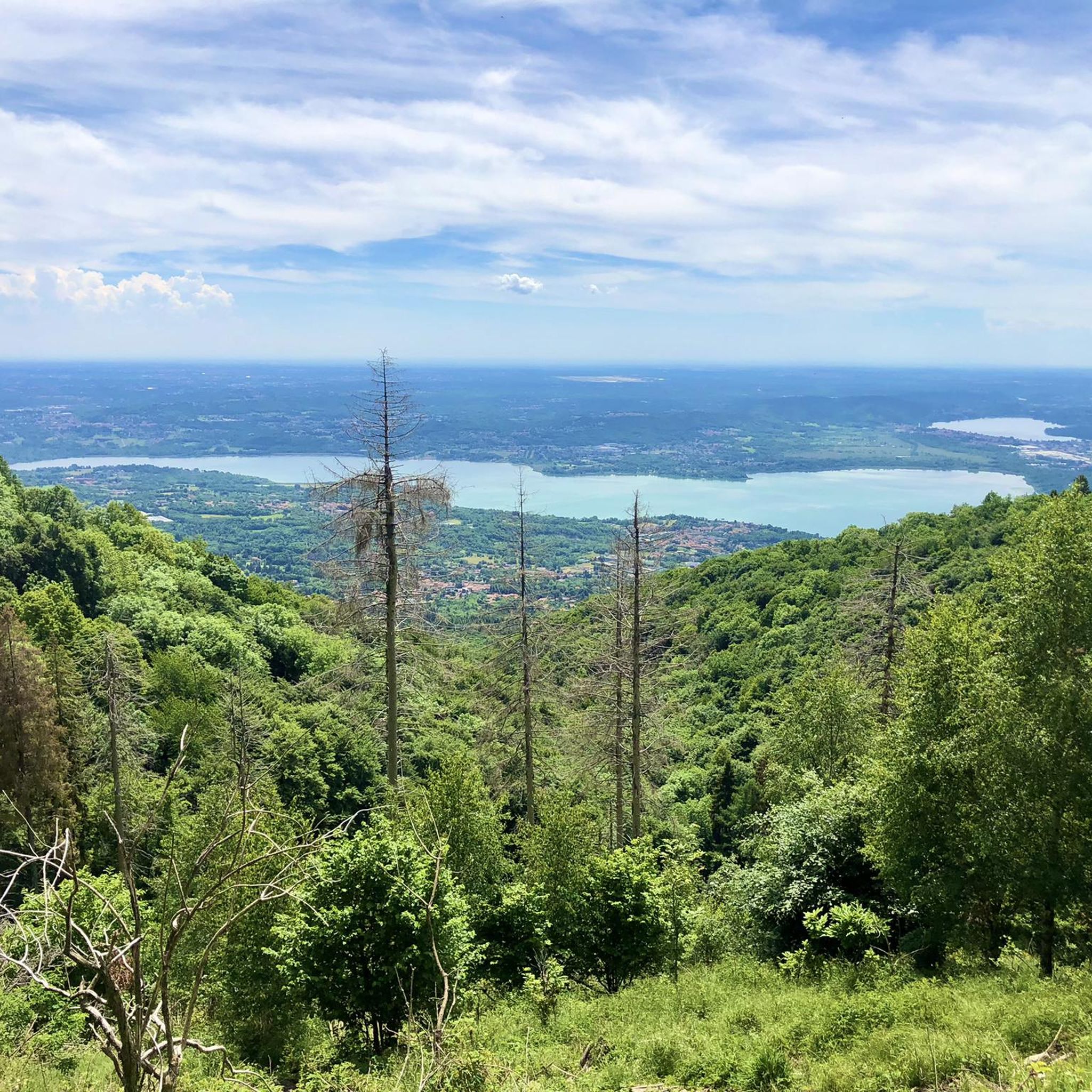
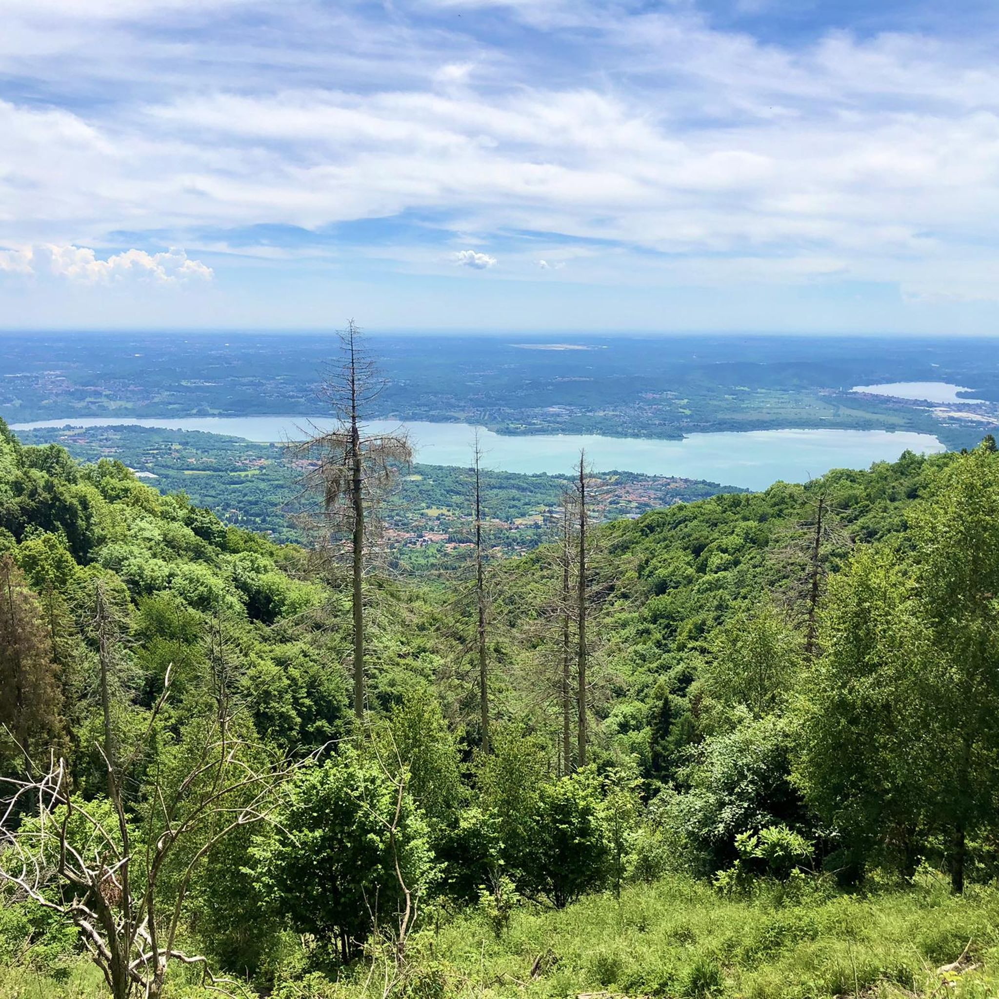
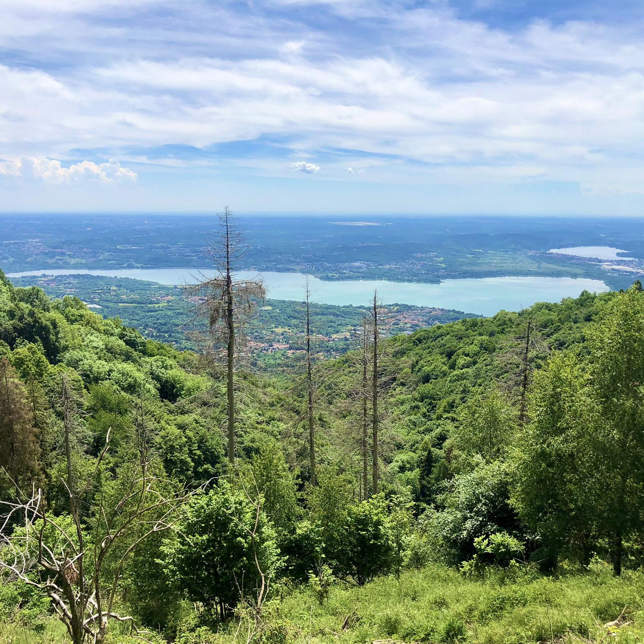
This segment of the European Long-Distance Path E1 is nestled within the Parco Regionale Campo dei Fiori, providing a rewarding outdoor experience. From viewpoints near the Grand Hotel, you can enjoy nearly 360-degree vistas across the plains, the Varese valleys, and the majestic Alps. On clear days, you might even catch a glimpse of the city of Milan and several sparkling lakes, making this a truly memorable part of the regional park.
3.9
(38)
84
hikers
6.86km
01:56
150m
150m
Hike the easy Ponte del Diavolo da Gropello loop, a 4.3-mile route featuring a unique cave, Molina waterfall, and lake views.

4.5
(4)
38
hikers
17.2km
04:56
390m
390m
Embark on a moderate hike along the Sculpture Trail in Parco Regionale Campo dei Fiori, a route that winds through peaceful woodlands. You'll cover 10.7 miles (17.2 km) with an elevation gain of 1267 feet (386 metres), typically taking around 4 hours and 56 minutes to complete. As you walk, keep an eye out for the unique wooden sculptures carved from tree stumps by local artist Caravati, which are scattered throughout the forest, transforming natural elements into art.
To begin your adventure, head to Velate, a quiet village where the trail starts near the historic church of San Stefano. You can find parking conveniently located near the cemetery at the top of Via Saffi. The path is well-marked with red and white CAI markers, guiding you through the varied terrain of forest floor, gravel sections, and occasional paved stretches.
This trail offers more than just a walk; it's an artistic journey where nature and creativity merge. You'll discover features like the tranquil Circle of Wooden Stumps, a clearing perfect for quiet reflection. The route also passes Poggio della Corona, providing glimpses of distant lakes, and eventually leads you to the charming historic center of Orino, making it a notable and unique experience in the region.
4.0
(2)
9
hikers
3.01km
00:55
100m
100m
Hike the easy 1.9-mile Chignolo to Motta d'Oro Pond Loop in Parco Regionale Campo dei Fiori, featuring a rocky forest trail and a serene pon
18
hikers
10.9km
04:42
740m
740m
Historic WWI fort hike through Campo dei Fiori park with sweeping lake and Alpine views.
Get access to more routes and recommendations from other explorers.
Already have an account?
Our route recommendations are based on thousands of hikes, rides, and runs completed by other people on komoot.
Start today with a free account
Your next adventure awaits.

Tips from the Community


The path makes its way through a dense green forest. The surface is uneven, but the space is large.
1
0

A small lake surrounded by greenery, near the hill of the same name. Very quiet place with a small dock.
3
0
The Devil's Bridge is a place with a waterfall and cave surrounded by nature. It is a perfect place to escape the heat or simply listen to the sound of water, a stone's throw from Lake Varese.
4
0
The Lake Varese bike path is beautiful, but people often expect to see the lake all the time. This is not the case, as much of the route winds through wonderful vegetation. However, this is a point along the cycle path from which you can admire Lake Varese in its beauty.
3
0

Campo dei Fiori is a mountain group with the maximum altitude located at Punta di Mezzo at 1,227 meters above sea level, which dominates the plain and the Varese valleys. Punta di Mezzo offers a splendid view all around.
3
0
From this vantage point you can enjoy a spectacular 360° view over a large part of the Alps. On the clearest days the view ranges from the Pennine Alps to the Orobie Alps. The best-known peaks visible from this point are Monte Rosa, the Dom, Monte Leone, Pizzo Bernina and Monte Disgrazia.
1
0

This descent was recommended to me by a "local", very nice MTB biker couple, but I had to go to Orino.....
0
0
Frequently Asked Questions
How many hiking trails are available in Barasso?
Barasso offers a wide selection of hiking opportunities, with over 600 routes available. These trails cater to various preferences, from easy strolls to more challenging moderate hikes.
Are there easy hiking trails suitable for beginners or families in Barasso?
Yes, Barasso has over 200 easy hiking routes perfect for beginners or families. A great option is the Devil's Bridge from Gropello Loop, an easy 4.3-mile (6.9 km) circular path that explores the area around the notable Ponte del Diavolo. Another accessible choice is the Chignolo to Motta d'Oro Pond Loop, which is about 1.9 miles (3 km) long.
What is the typical duration of hikes around Barasso?
Hikes around Barasso vary in duration depending on the route and your pace. For example, the European Long-Distance Path E1: Campo dei Fiori typically takes around 3 hours 13 minutes, while the Sculpture Trail in Parco Regionale Campo dei Fiori can take nearly 5 hours.
Are there circular hiking routes available in Barasso?
Yes, Barasso features several circular hiking routes. A popular example is the Devil's Bridge from Gropello Loop, which allows you to start and end at the same point while exploring the local scenery.
What is the best time of year to go hiking in Barasso?
The best time for hiking in Barasso is generally during spring (April-June) and autumn (September-October) when the weather is mild and the natural scenery is vibrant. Summer can also be pleasant, especially in the shaded woodlands, but be prepared for warmer temperatures. Winter hiking is possible, but some trails might be slippery or require appropriate gear, especially at higher elevations.
Can I bring my dog on the hiking trails in Barasso?
Many trails in the Barasso area, particularly within the Parco Regionale Campo dei Fiori, are dog-friendly. It's always recommended to keep your dog on a leash, especially in protected areas or near wildlife, and to carry waste bags. Check specific trail regulations if you plan to visit a nature reserve.
Which hikes offer the best viewpoints in Barasso?
For impressive vistas, consider routes that ascend to higher points within the Parco Regionale Campo dei Fiori. While specific viewpoint trails aren't detailed, the region is known for its elevated positions. You might also find excellent views from the View from Sasso del Ferro, which is a highlight in the broader area.
What interesting places can I explore near the hiking trails in Barasso?
Near Barasso's hiking trails, you can discover several attractions. The region is close to beautiful lakes like Lake Varese and Lake Comabbio, offering lakeside picnic areas. Another significant landmark is the Sacro Monte of Varese and the Sanctuary of Santa Maria del Monte, a UNESCO World Heritage site.
What do other hikers appreciate most about Barasso's trails?
The trails around Barasso are highly rated by the komoot community, with an average score of 4.2 stars from over 4,500 reviews. Hikers often praise the diverse terrain, which includes rolling hills and dense woodlands, and the well-maintained paths within the Parco Regionale Campo dei Fiori. The variety of routes, from easy to moderate, is also frequently highlighted.
Are there any challenging hiking routes in Barasso?
While Barasso is known for its accessible trails, there are also more challenging options. Approximately 100 routes are classified as difficult. For instance, the Forte di Orino Trail from Comerio (via Route 312) involves significant elevation gain and is a moderate route that takes nearly 4 hours 40 minutes to complete, offering a more strenuous experience.
What kind of natural landscape can I expect while hiking in Barasso?
Hiking in Barasso offers a landscape characterized by rolling hills and dense woodlands, primarily within the Parco Regionale Campo dei Fiori. You'll encounter varied terrain, including elevated viewpoints and natural geological formations. Trails often lead through forested areas and past water features like ponds, providing a diverse and engaging experience.
Most popular attractions around Barasso

Get inspired with the komoot mobile app


Explore more
Browse the best Hikes in other regions.
