The best running trails around Gemonio
4.2
(308)
9,331
runners
271
runs
Jogging around Gemonio offers routes through varied terrain, characterized by significant elevation changes and views of historical sites like Orino Fortress. The region features a mix of wooded paths and open areas, providing diverse running experiences. Many routes include ascents and descents, making them suitable for runners seeking a challenge. The landscape around Gemonio is defined by its hills and natural surroundings.
Best jogging routes around Gemonio
- The most popular jogging route is Orino Fortress – Orino Fortress loop from…
Last updated: October 9, 2026
4.0
(2)
58
runners
16.6km
02:11
580m
580m
Hard run. Very good fitness required. Mostly accessible paths. Some sure footedness required.
43
runners
Moderate run. Good fitness required. Mostly paved surfaces. Suitable for all skill levels.

5.0
(1)
25
runners
15.2km
02:22
820m
820m
Hard run. Very good fitness required. Sure-footedness, sturdy shoes and alpine experience required.
2.0
(1)
20
runners
18.5km
02:39
890m
890m
Hard run. Very good fitness required. Sure-footedness, sturdy shoes and alpine experience required.
16
runners
7.36km
00:49
140m
140m
Moderate run. Good fitness required. Mostly paved surfaces. Suitable for all skill levels.
Get access to more routes and recommendations from other explorers.
Already have an account?
Our route recommendations are based on thousands of hikes, rides, and runs completed by other people on komoot.
Start today with a free account
Your next adventure awaits.
Tips from the Community

Passo S. Antonio Vararo / Cuvignone 1,036 m Passage at 1,036 meters above sea level From the South: Cittiglio to the North: Porto Valtravaglia About 200 hairpin bends on asphalt Strada Provinciale 8 https://stradedamoto.it/strade.asp?RicPas=4281
10
0
Passo del Monte Cuvignone Via Vararo, Cittiglio / Castelveccana VA The Cuvignone Pass (1,036 m above sea level) is a pass near Vararo, in the Varese area between Valcuvia and Luinese. In cycling, it is known for its demanding climb, which can be tackled from various sides (directly from Cittiglio or Castelveccana, or indirectly after climbing Sant'Antonio or crossing the San Michele Pass). It has been used for training since the time of Alfredo Binda (originally from the area) and offers particularly technical and demanding descents. Ivan Basso also trained there. The pass is also famous in the automotive world, as it has been the most selective timed section of the "ACI Varese Rally" since the 80s, today the "Rally dei Laghi". Even in motorsport, as in cycling, it has been tackled in all directions, and in all directions it has always stood out for its difficulty, consisting of fast sections, others slower but very technical, narrow hairpin bends uphill and downhill – all over a length of about 12/14 km at the discretion of the organizer. Text / Source: wikipedia.org/wiki/Passo_del_Cuvignone https://it.wikipedia.org/wiki/Passo_del_Cuvignone
10
0

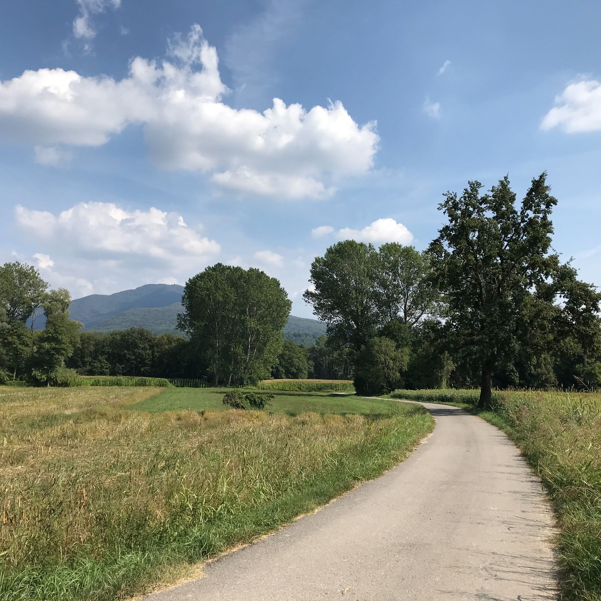
a classic from the Varese area. It's worth it.
2
0


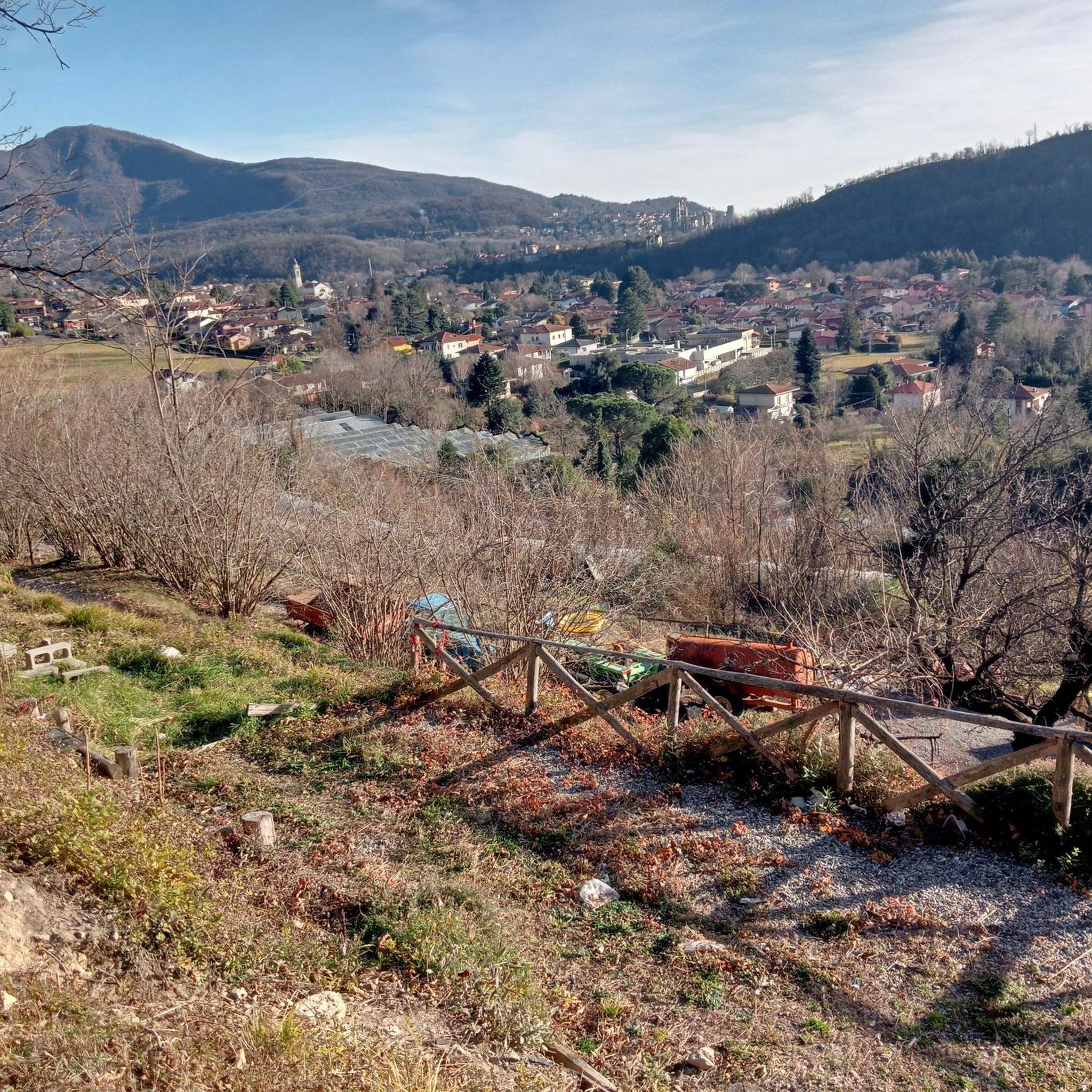
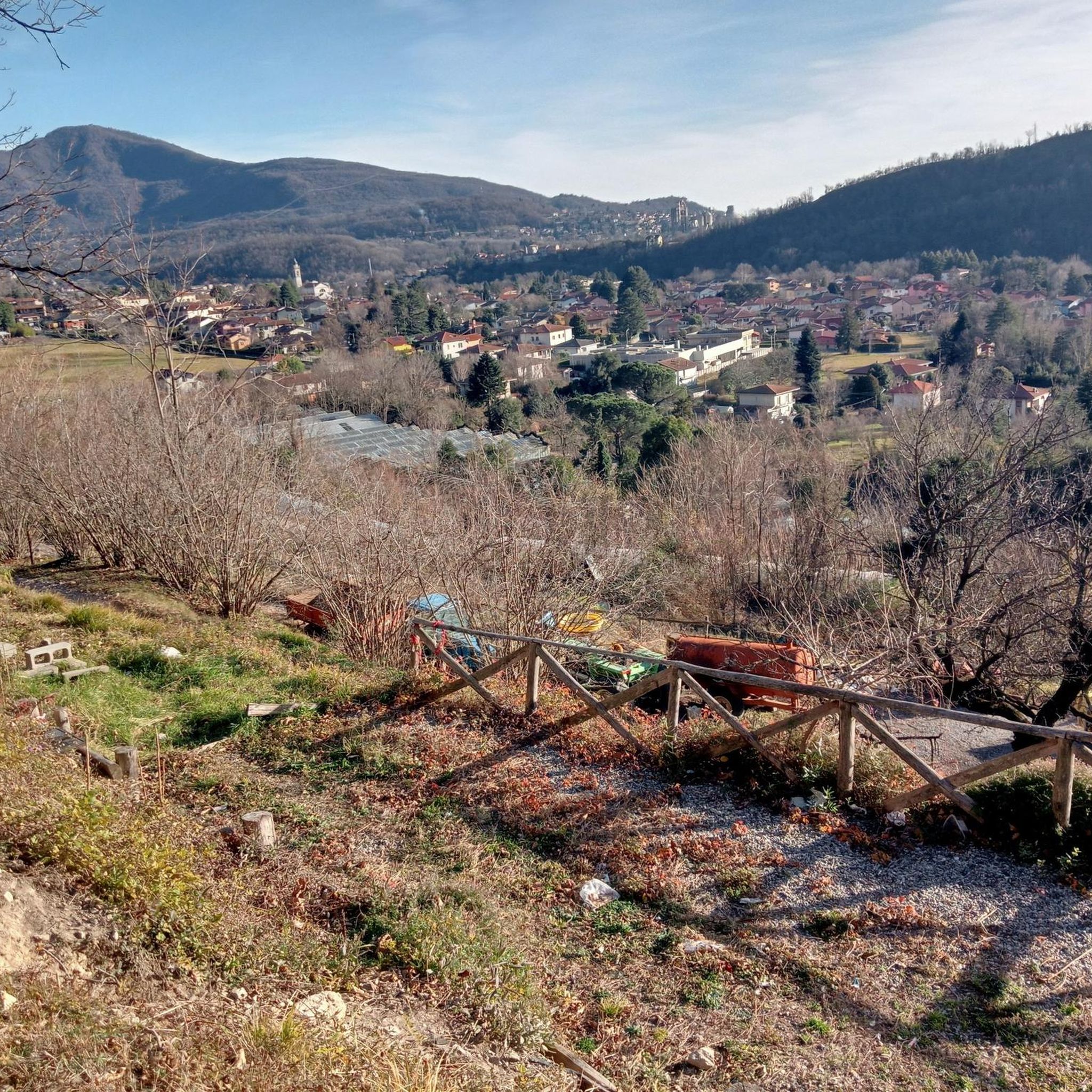
From the paths that climb up Mount La Crocetta there are fantastic views of Lake Maggiore.
0
0


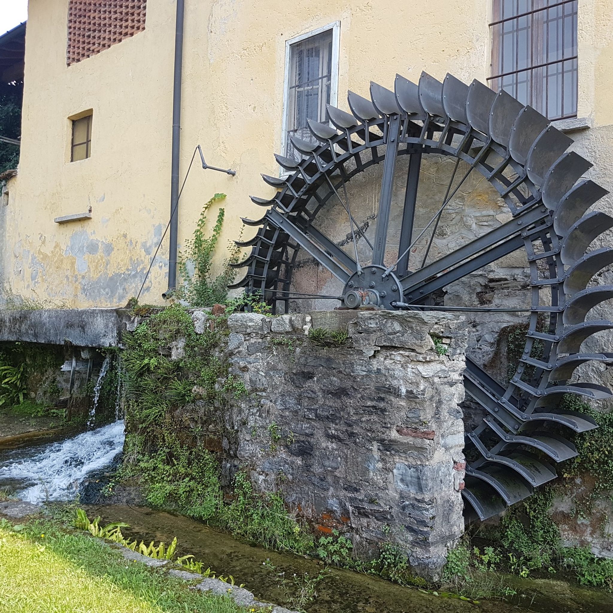
The documents that speak of the mill date back to the second half of the 16th century, but the mill probably already existed before. Located along a canal adjacent to the Bardello river. The mill consists of several buildings used for milling. The mill is located along the Besozzo-Gavirate cycle path and is therefore easily accessible by bicycle or on foot.
0
0

Komoot sees what is on OSM generally, In case there is sth missing on OSM you can always add it and in this way contribute to a better navigation experience
0
0
Frequently Asked Questions
How many running routes are available around Gemonio?
There are over 220 running routes in the Gemonio area, offering a wide range of options for different skill levels and preferences. The region is known for its hilly terrain and scenic paths.
Are there easy running trails for beginners in Gemonio?
Yes, Gemonio offers about 15 easy running routes suitable for beginners or those looking for a less strenuous jog. These trails typically feature gentler gradients compared to the more challenging options in the area.
What are the options for advanced runners seeking a challenge?
For advanced runners, Gemonio provides over 60 difficult routes with significant elevation changes. An example is the Orino Fortress – Orino Fortress loop from Cocquio-Trevisago, which covers 15.7 miles (25.3 km) with substantial climbs, often taking nearly 4 hours to complete.
Are there any circular running trails in Gemonio?
Many of the running routes around Gemonio are circular, allowing you to start and finish at the same point. For instance, the Cocquio Mill – Former Sonnino Cover Factory loop from Cocquio-Trevisago is a moderate 4.7-mile (7.5 km) circular path, perfect for a varied run.
What kind of viewpoints or natural attractions can I expect on the running routes?
The running routes in Gemonio often feature views of historical sites like Orino Fortress and traverse wooded paths. You can also find natural attractions nearby, such as the Valganna Waterfalls and Caves or the Devil’s Bridge and Cave, which offer interesting sights along or near some trails.
Are there dog-friendly running routes in the Gemonio area?
Many trails in Gemonio's natural surroundings are suitable for running with dogs, especially those through wooded areas and open paths. It's always recommended to keep your dog on a leash and respect local regulations, particularly near protected areas or private property.
What is the best time of year for jogging in Gemonio?
Gemonio offers enjoyable running conditions throughout much of the year. Spring and autumn provide pleasant temperatures and vibrant scenery. While some routes are accessible in winter, be mindful of potential ice or snow on higher elevation paths, especially those with significant climbs.
Are there running routes that pass by cafes or places to stop for refreshments?
While specific routes passing directly by cafes aren't highlighted in the data, many trails are located near villages or towns where you can find refreshment stops. For example, the Remeron Cave loop from Cocquio-Trevisago starts and ends near Cocquio-Trevisago, offering opportunities for post-run refreshments.
What do other runners enjoy most about jogging in Gemonio?
The running routes in Gemonio are highly rated by the komoot community, with an average score of 4.1 stars from over 170 reviews. Runners often praise the varied terrain, the challenging ascents, and the scenic views of the surrounding hills and historical landmarks like Orino Fortress.
Is public transport available to access running trails in Gemonio?
Gemonio and its surrounding villages are generally accessible by local bus services, which can help you reach various starting points for running routes. Checking local bus schedules for specific routes and stops near your desired trailheads is advisable.
Where can I find parking for the running trails in Gemonio?
Parking is typically available in the towns and villages near the trailheads, such as Cocquio-Trevisago or Orino. Look for designated public parking areas, especially near sports facilities or town centers, which often serve as convenient starting points for many routes.
Are there any family-friendly running options in Gemonio?
For families, the easier and moderate routes are generally more suitable. These paths often have gentler gradients and shorter distances, making them enjoyable for a family jog or walk. Always check the route's difficulty and length to ensure it matches your family's fitness level.
Most popular attractions around Gemonio

Get inspired with the komoot mobile app


Explore more
Browse the best Running Trails & Routes in other regions.
