The best walks and hikes around Theres
4.5
(3849)
15,860
hikers
48
hikes
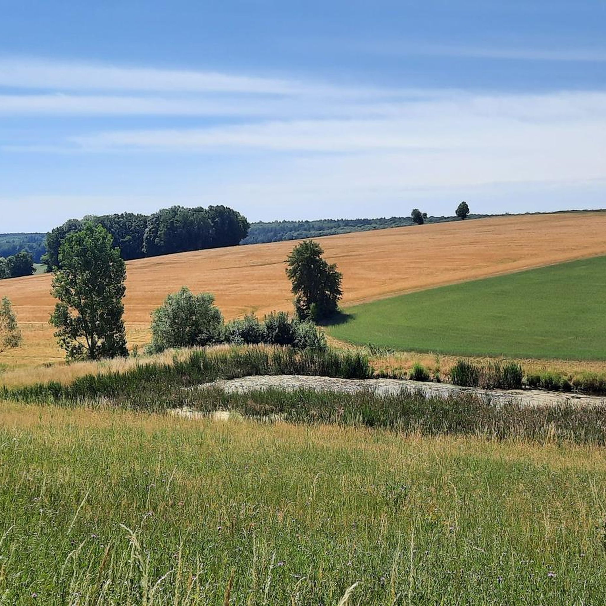
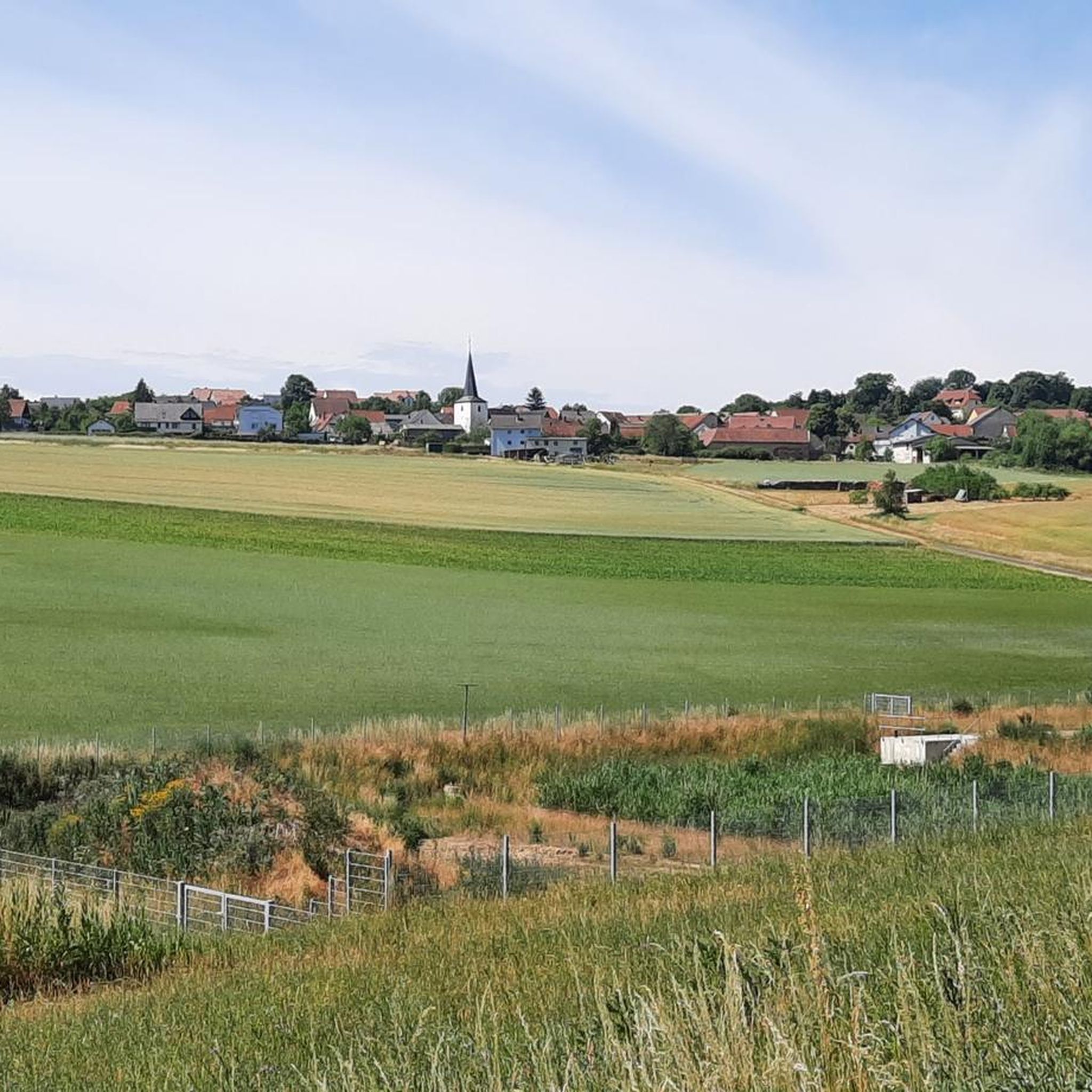
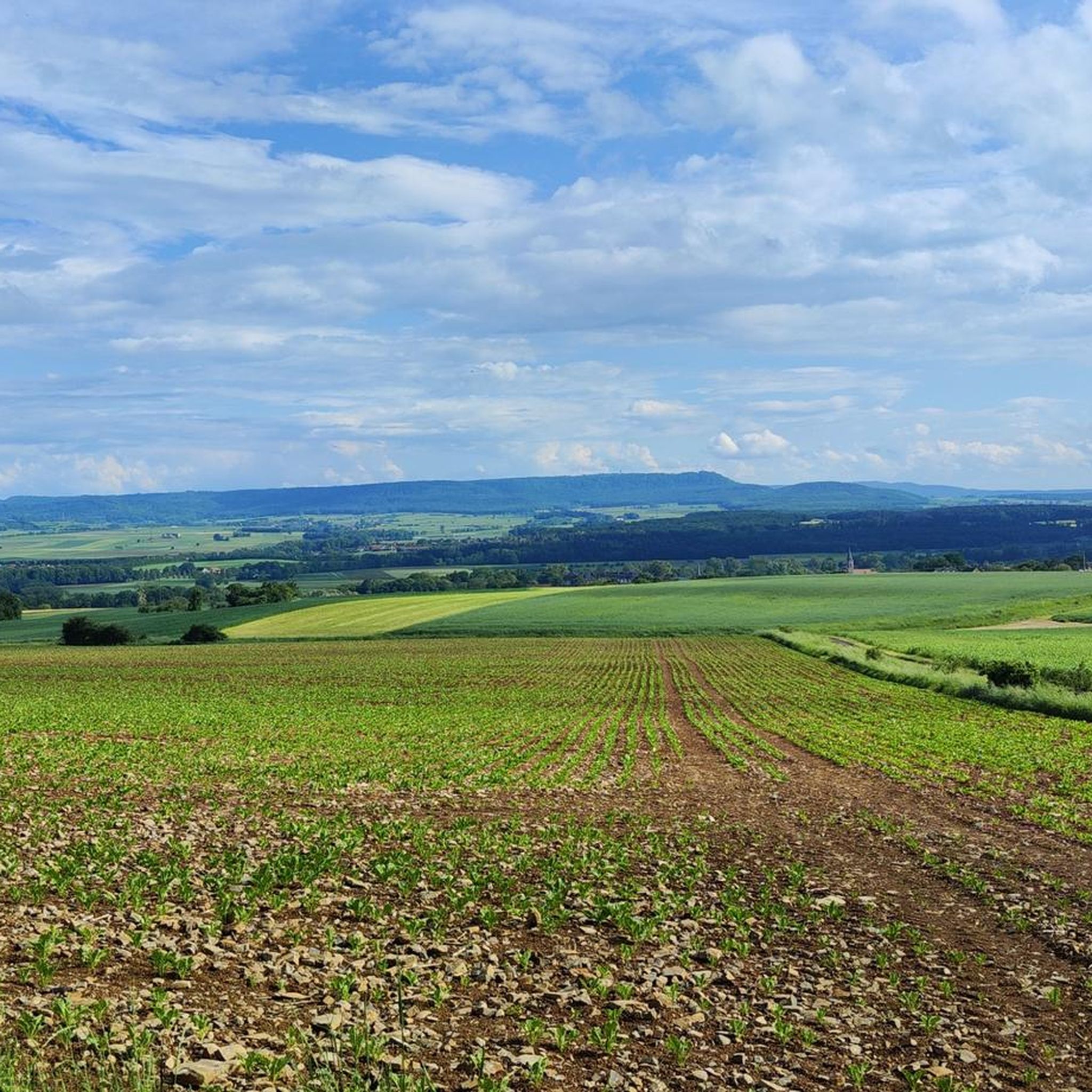
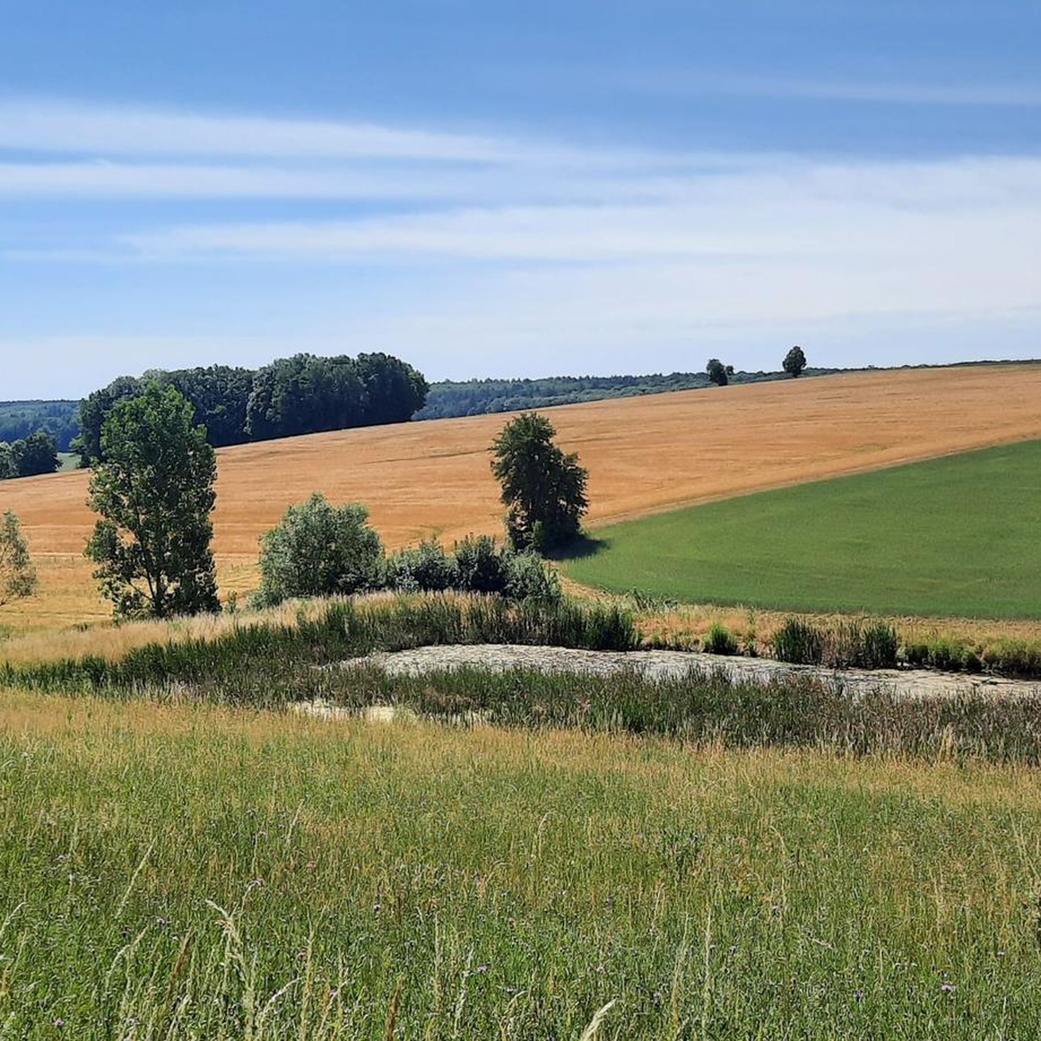
Hiking around Theres features a landscape characterized by gentle hills and river valleys, offering views of the Main Valley and the distant Steigerwald. The region provides a network of trails suitable for various activity levels, with modest elevation changes. These routes often pass through agricultural areas and small villages, connecting natural viewpoints with local landmarks.
Best hiking trails around Theres
- The most popular hiking route is View of Untertheres – Untertheres loop from Theres (VGem), a 5.5 miles (8.9…
Last updated: July 1, 2026
4.5
(6)
17
hikers
8.86km
02:23
100m
110m
Moderate hike. Good fitness required. Easily-accessible paths. Suitable for all skill levels.
4.2
(5)
18
hikers
8.99km
02:26
130m
130m
Moderate hike. Good fitness required. Easily-accessible paths. Suitable for all skill levels.

Sign up for free
5.0
(3)
19
hikers
Easy hike. Great for any fitness level. Easily-accessible paths. Suitable for all skill levels.
5.0
(1)
16
hikers
Easy hike. Great for any fitness level. Easily-accessible paths. Suitable for all skill levels.
3.0
(2)
13
hikers
4.19km
01:07
40m
40m
Easy hike. Great for any fitness level. Easily-accessible paths. Suitable for all skill levels.
Get access to more routes and recommendations from other explorers.
Sign up for free
Already have an account?
Our route recommendations are based on thousands of hikes, rides, and runs completed by other people on komoot.
Start today with a free account
Your next adventure awaits.
Login or Signup

Tips from the Community


These half-timbered houses are wonderful 👍
0
0
Small and fine, beautiful chapel 😊
0
0

Unfortunately, we noticed that people often relieve themselves at the chapel.
0
0

The Roman Catholic Chapel of St. Mary stands in the cemetery of Obertheres, a part of the municipality of Theres in the Lower Franconian district of Haßberge in Bavaria. The predecessor of this listed building was consecrated in 1123. The chapel belongs to the parish community of Theres in the deanery of Haßberge in the Diocese of Würzburg. Source: https://de.wikipedia.org/wiki/Marienkapelle_(Obertheres)
14
0

The bike path is right next door on the Main. There is also a bike garage 👌🏻 Breakfast.
0
0
Frequently Asked Questions
What kind of hiking trails can I expect around Theres?
The landscape around Theres features gentle hills and river valleys, providing scenic views of the Main Valley and the distant Steigerwald. Trails often pass through agricultural areas and small villages, connecting natural viewpoints with local landmarks.
How many hiking trails are available around Theres?
There are over 49 hiking routes around Theres. These trails cater to various activity levels, with 32 easy routes and 17 moderate options, ensuring there's something for everyone.
Are there easy hiking trails suitable for beginners or families in Theres?
Yes, Theres offers a good selection of easy trails perfect for beginners or families. For example, the Chapel of Obertheres – View of the Main Valley loop from Wonfurt is an easy 4.7-mile route, and the View of the Steigerwald – Josefsweg loop from Theres is another easy option at 2.6 miles.
Are there any circular hiking routes in Theres?
Many of the hiking routes around Theres are circular, offering convenient starting and ending points. Examples include the View of Untertheres – Untertheres loop from Theres (VGem) and the View of Untertheres loop from Wonfurt.
What are some notable landmarks or attractions to see while hiking in Theres?
While hiking around Theres, you can explore several interesting landmarks. Consider visiting the Historic Old Town of Zeil am Main or the Haßfurt Old Town. For a unique sight, the Sander Raser Basketmaker Monument is also nearby.
What do other hikers enjoy most about hiking in Theres?
The hiking trails around Theres are highly rated by the komoot community, with an average score of 4.5 stars from over 60 reviews. Hikers often praise the varied terrain, which includes gentle hills, river valleys, and agricultural landscapes, as well as the scenic views of the Main Valley.
Are there places to eat or drink near the hiking trails in Theres?
Yes, there are options for refreshments. You might find huts and cafes such as the Bauken Herz Hut at Zabelstein or the Frey am Zabelstein Kiosk and Pavilion. The Berghospitz, Zeiler Kuppel also offers a cafe experience.
Is Theres a good destination for dog-friendly hiking?
While specific restrictions for dogs are not widely published for all trails, the general nature of gentle hills and agricultural paths in Theres often makes them suitable for walks with well-behaved dogs on a leash. Always be mindful of local regulations, especially when passing through farmlands or near livestock.
What is the best time of year to go hiking in Theres?
Given the region's gentle hills and river valleys, hiking in Theres is pleasant during spring, summer, and autumn. Spring offers blooming landscapes, summer provides warmth, and autumn showcases colorful foliage. Winter hiking is also possible, though conditions may vary, and some paths might be muddy or icy.
Are there any viewpoints along the hiking trails in Theres?
Yes, many routes in Theres offer excellent viewpoints. The region's characteristic gentle hills and river valleys provide opportunities for scenic overlooks of the Main Valley and the distant Steigerwald. Trails like the View of Untertheres loop from Wonfurt are specifically noted for their scenic overlooks.
What is the typical duration and distance of hikes in Theres?
Hikes in Theres vary in duration and distance. Many popular routes are moderate, ranging from 4 to 6 miles (6.4 to 9.6 km) and taking approximately 1.5 to 2.5 hours to complete. For instance, the View of Untertheres – Untertheres loop from Theres (VGem) is 5.5 miles and takes about 2 hours 22 minutes.
Most popular attractions around Theres

Get inspired with the komoot mobile app


Explore more
Browse the best Hikes in other regions.
