The best mountain hikes around Cassiglio
4.9
(10)
58
hikers
3
hikes
Mountaineering routes around Cassiglio are situated in Italy's Upper Brembana Valley, offering access to the rugged Orobie Alps. This region is characterized by soaring peaks, deep valleys, and dramatic ridges and cliffs, providing extensive opportunities for high-altitude passages. Trails navigate through varied environments, from lush forested areas to open alpine meadows, showcasing a diverse ecosystem. The landscape features numerous peaks exceeding 2,000 meters, making it a prime destination for challenging mountaineering.
Best mountaineering routes around Cassiglio
- The most popular mountaineering…
Last updated: August 14, 2026
4.7
(7)
33
hikers
9.77km
04:21
760m
760m
Hard mountaineering route. Good fitness required. Sure-footedness, sturdy shoes and alpine experience required.
5.0
(2)
18
hikers
18.3km
07:50
1,380m
1,380m
Hard mountaineering route. Very good fitness required. Sure-footedness, sturdy shoes and alpine experience required.

Sign up for free
5.0
(1)
6
hikers
Hard mountaineering route. Good fitness required. Sure-footedness, sturdy shoes and alpine experience required.
5
hikers
14.6km
07:31
1,240m
1,240m
Hard mountaineering route. Very good fitness required. Sure-footedness, sturdy shoes and alpine experience required.
Our route recommendations are based on thousands of hikes, rides, and runs completed by other people on komoot.
Start today with a free account
Your next adventure awaits.
Login or Signup
Popular around Cassiglio
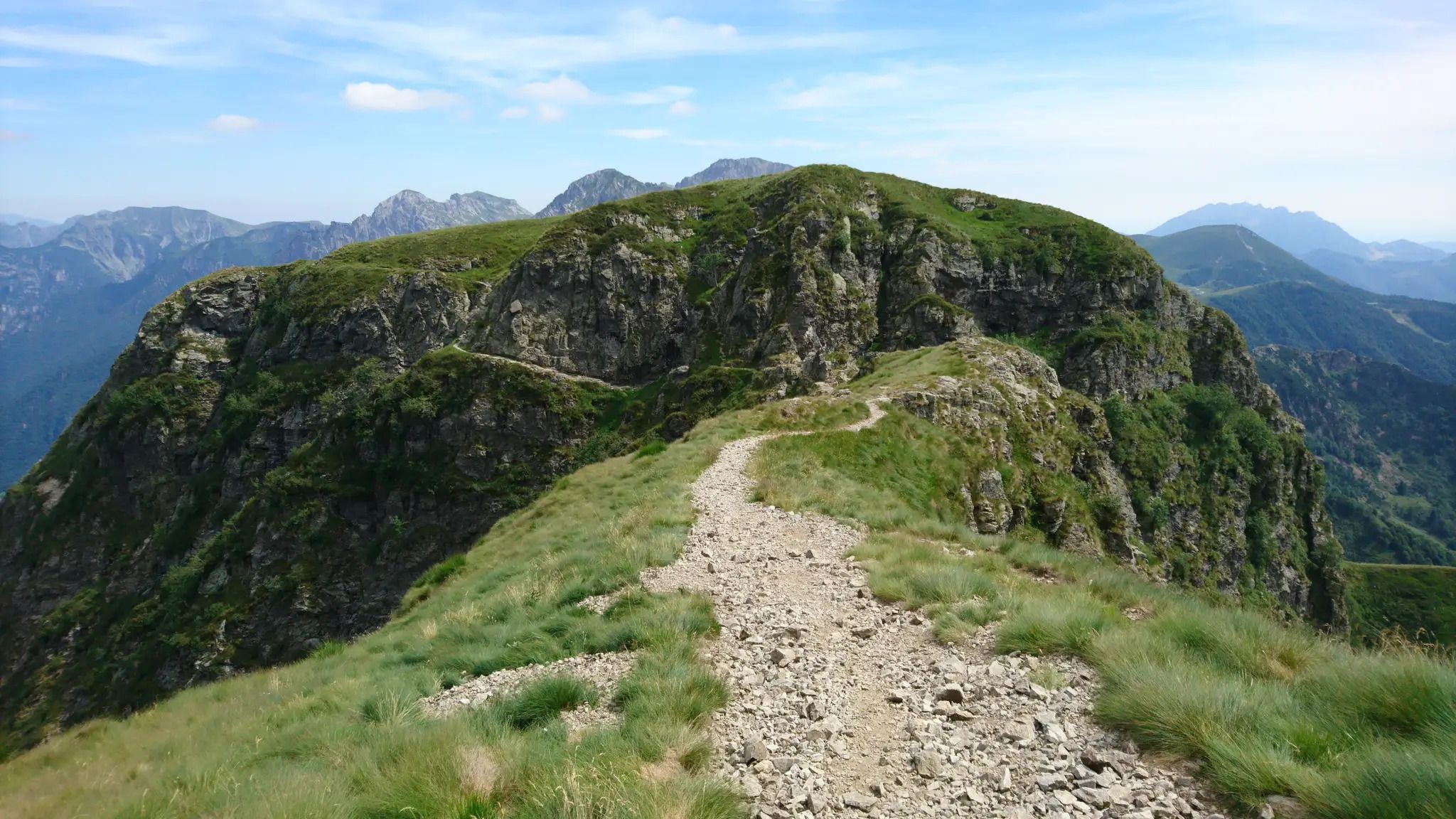
Western Orobie Path – cross the upper Brembana Valley in Italy
Hike between villages and historic routes – Alta Val Brembana’s mountains
Hiking around Cassiglio
Cycling around Cassiglio
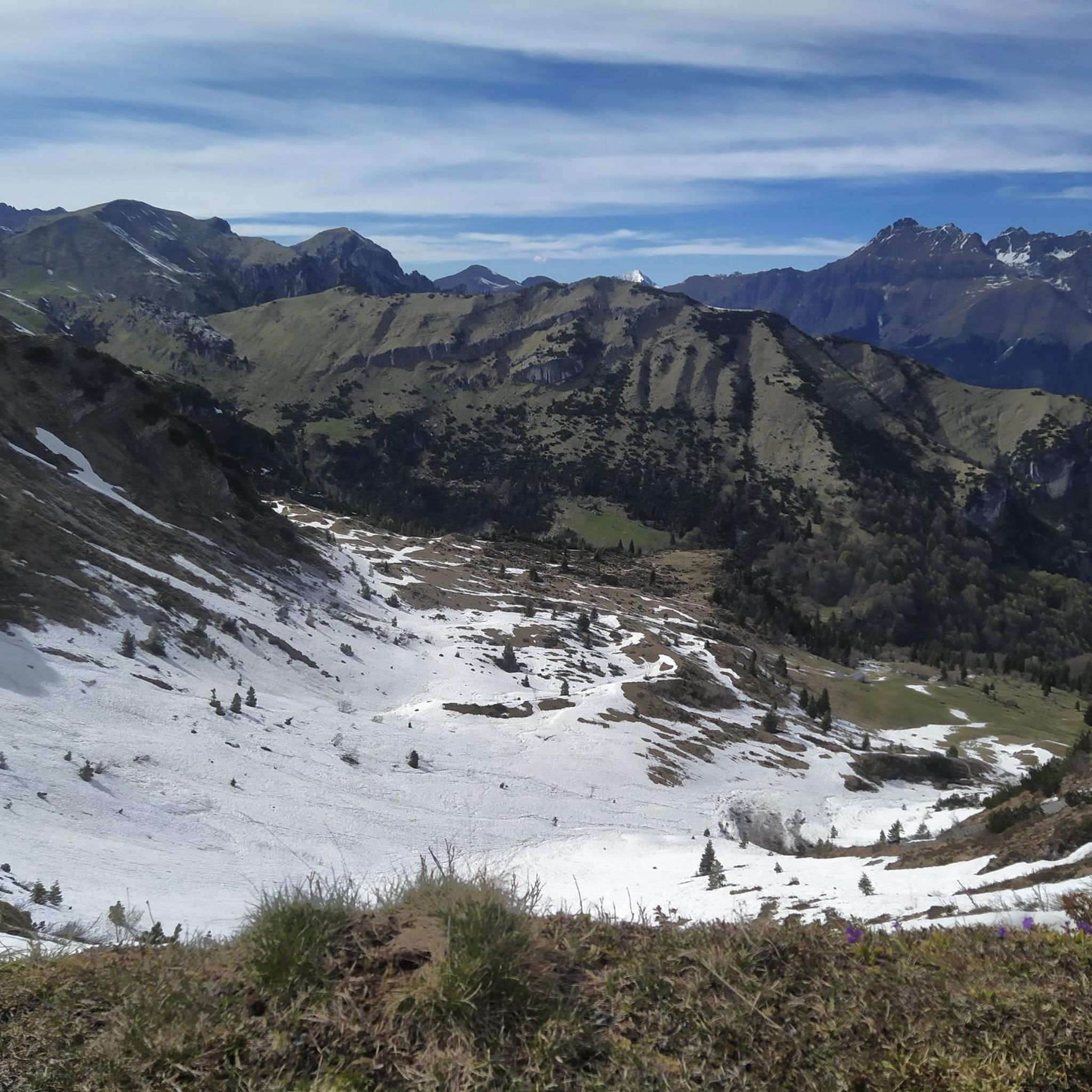
Road Cycling Routes around Cassiglio
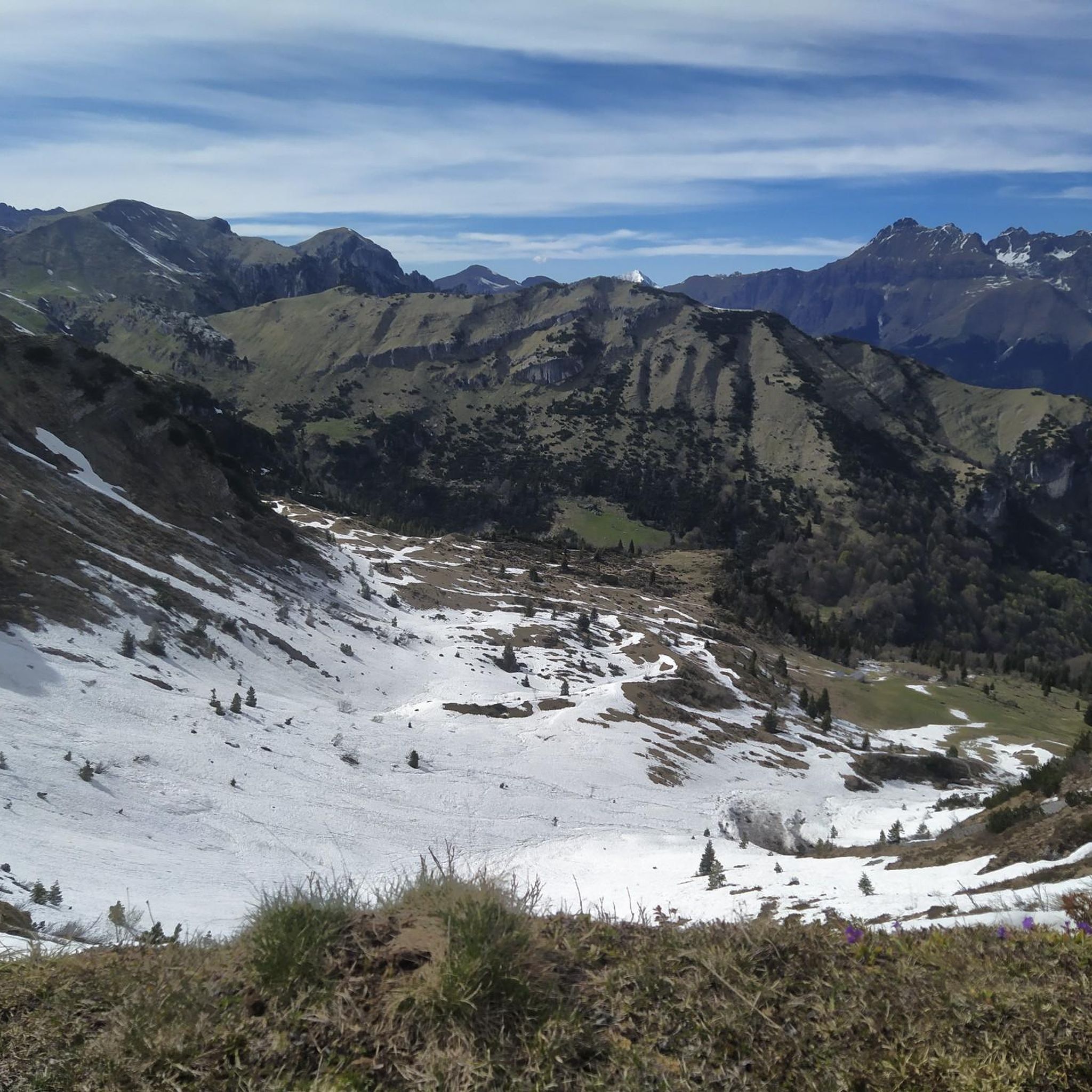
MTB Trails around Cassiglio
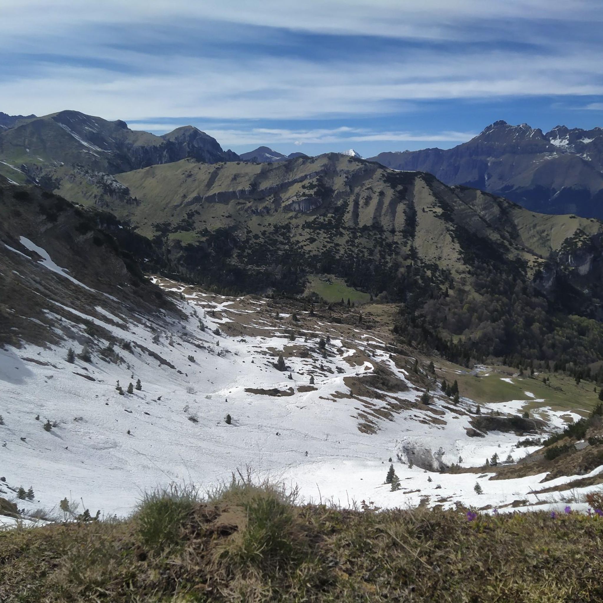
Running Trails around Cassiglio

Gravel biking around Cassiglio

Tips from the Community

Starting point of the loop tour, whose highest point is the Bocchetta dei Mughi. The trail is technically simple in the summer period but has no water sources and is almost entirely in the sun
0
0

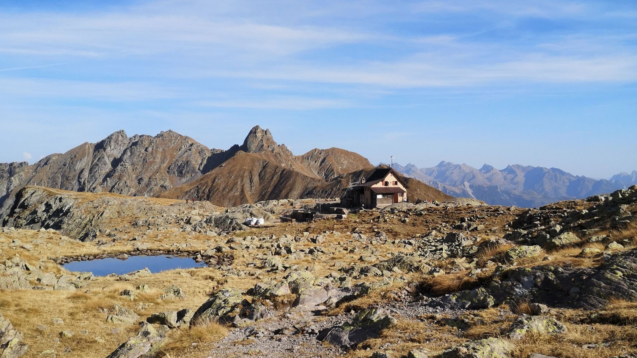
Rifugio Lecco, magnificent views from Piani di Bobbio
0
0

Beautiful lake that we found frozen
0
0

Amazing food all year long in Rifugio Lecco. Great place to stop by when you’re skiing in Piani di Bobbio, but also for a hike in the spring / summer time
1
1

The via ferrata's starting point, complete description: https://www.ferrate365.it/vie-ferrate/ferrata-mario-minonzio/
0
0

It dominates the plains of Bobbio, on the slopes of Zuccone Campelli
0
0

initial variant that leads to the ledge shared with other routes. Start IV+/IV of 15m, then well protected pitch of VI/V on 30m slabs. finally the third pitch of III/I on the final grassy ledge
1
0

The Lecco refuge is located at 1,780 meters above sea level, in a panoramic position in the upper part of the Bobbio plains, at the foot of the Campelli group.
1
0
Frequently Asked Questions
What is the general difficulty level of mountaineering routes around Cassiglio?
Mountaineering routes in the Cassiglio area are generally considered difficult. All 8 routes listed in this guide are rated as challenging, designed for experienced mountaineers seeking demanding trails and high-altitude passages in the Orobie Alps.
Are there any circular mountaineering routes in Cassiglio?
Yes, several routes around Cassiglio are circular. For example, you can explore the Zuccone Campelli Summit – Canale della Madonna loop from Scuola di Sci Barzio Piani di Bobbio - Valtorta, which is a 6.9 km loop. Another option is the Start of Anello dei Campelli – Lecco Hut loop from Valtorta, covering 9.7 km.
What are some notable peaks or summits accessible via mountaineering routes in the region?
The Cassiglio area, nestled in the Orobie Pre-Alps, offers access to several significant peaks. You can find routes that lead towards summits like Monte Venturosa, Araralta, and Pizzo dei Baciamorti. For specific highlights, consider exploring Pizzo dei Tre Signori or the Madonna dei Canti Summit.
Are there any mountain huts or refuges along the mountaineering trails?
Yes, some mountaineering routes in the Cassiglio area pass by mountain huts. For instance, the Rifugio Benigni – Cima di Val Pianella loop from Cusio leads past mountain refuges. You can also find the Marco Balicco Mountain Hut and the Passo San Marco 2000 Mountain Hut in the wider region.
What is the best time of year for mountaineering in Cassiglio?
The best time for mountaineering in Cassiglio is typically during the warmer months, from late spring through early autumn (June to September), when trails are generally free of snow and weather conditions are more stable. Winter mountaineering is possible but requires specialized equipment and experience due to snow and ice.
What are the typical distances and durations for mountaineering routes here?
The mountaineering routes around Cassiglio vary in length and duration. For example, the Start of the Via Comune – Canale della Madonna loop from Zuccone Campelli is about 4.7 km and takes around 2 hours 12 minutes. Longer routes, like the Rifugio Cima Grappa – Zuccone Campelli loop from Scuola di Sci Barzio Piani di Bobbio - Valtorta, can be up to 10.9 km and take approximately 4 hours 38 minutes.
What do other mountaineers say about the routes in Cassiglio?
The mountaineering routes around Cassiglio are highly rated by the komoot community, with an average score of 4.9 stars from over 15 reviews. Users often praise the challenging ascents, the dramatic ridges, and the stunning high-altitude passages through the Orobie Alps.
Are there any specific passes or crossroads important for mountaineers in the area?
Yes, the Baciamorti Pass (1,541 m) is a significant hiking crossroads in the region, connecting several trails from Val Taleggio and Pianca di San Giovanni Bianco. Other notable passes include San Pietro Summit and San Simone Pass.
What natural features can I expect to see while mountaineering near Cassiglio?
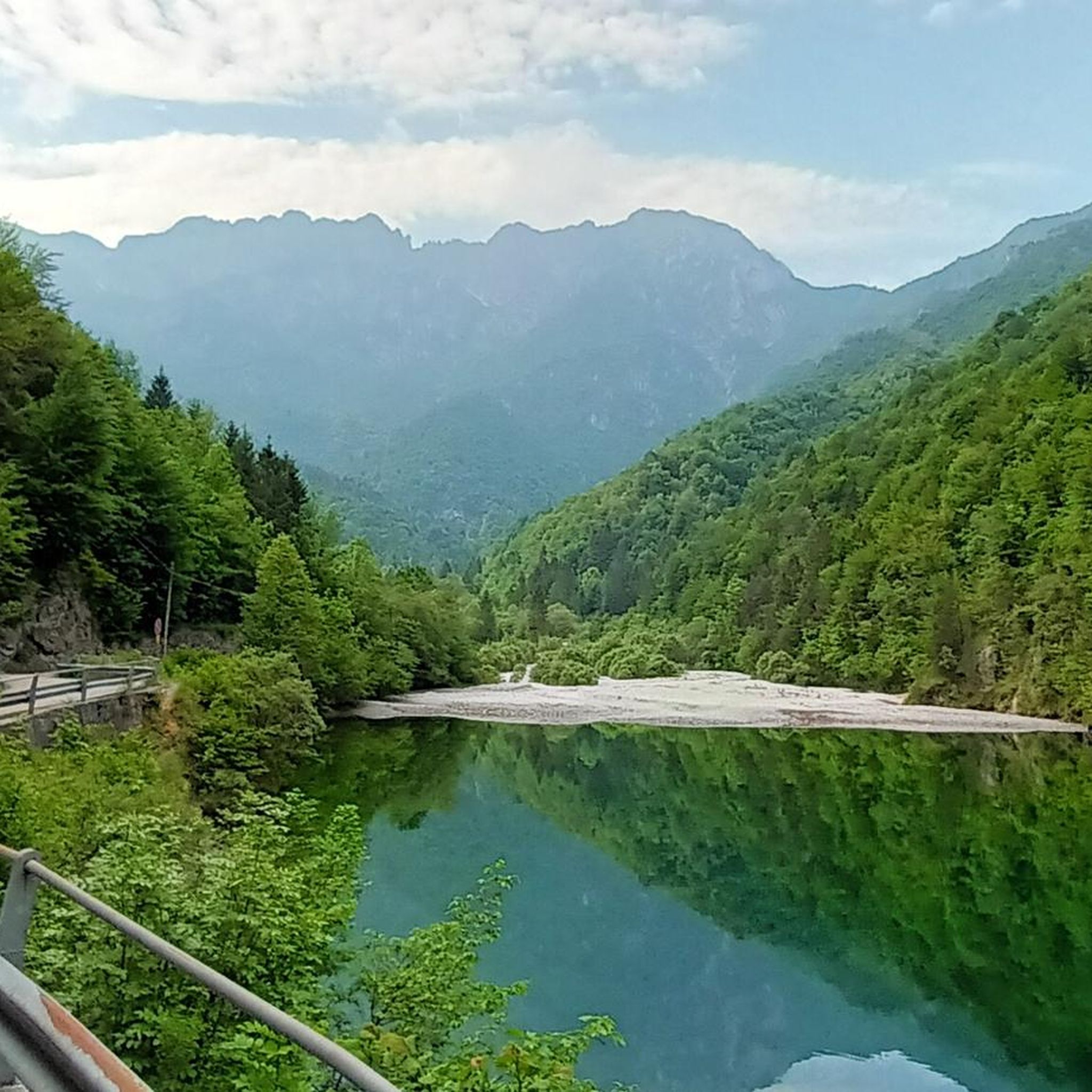
The region is rich in natural beauty. You'll encounter tranquil alpine scenery, dense forests, and open alpine meadows. The routes offer views of soaring peaks, deep valleys, and dramatic ridges. Lake Cassiglio itself is a picturesque starting point, reflecting the surrounding mountains. The area also features impressive gorges, such as those found in Val Stabina.
Is there parking available near the starting points of mountaineering routes?
While specific parking details for every route vary, Cassiglio is generally accessible by car. Lake Cassiglio, a common starting point for many trails, is known to be camper-friendly, suggesting ample parking facilities in the vicinity. It's advisable to check individual route descriptions for precise parking information.
Are there any places to eat or drink near the mountaineering trails?
Yes, you can find options for food and drink in the wider area. For instance, the Ristorante Bar Passo del Monte Spietro is located near a mountain pass. Additionally, mountain huts like Rifugio Benigni and Rifugio Cima Grappa, which are part of some routes, often offer refreshments.
Most popular attractions around Cassiglio

Get inspired with the komoot mobile app


Explore more
Browse the best Mountain Hikes & Routes in other regions.
