The best walks and hikes around Cortenova
4.5
(7710)
42,053
hikers
12
hikes
Hiking around Cortenova offers diverse landscapes, from the scenic Valle dei Mulini to views of the dramatic Grigna Massif. The region features varied terrain, including forest trails, mountain peaks, and natural monuments. Hikers can explore paths that wind past ancient ruins and lead to natural attractions like the Cenghen Waterfall.
Best hiking trails around Cortenova
- The most popular hiking route is Valle dei Mulini to Rifugio Bogani, an 8.2 miles (13.1 km) trail that takes 8 hours 58 minutes…
Last updated: July 10, 2026
4.9
(7)
48
hikers
13.1km
08:58
1,330m
1,330m
Hard hike. Very good fitness required. Sure-footedness, sturdy shoes and alpine experience required.
5.0
(1)
4
hikers
2.91km
01:19
240m
240m
Hard hike. Great for any fitness level. Sure-footedness, sturdy shoes and alpine experience required.

Sign up for free
4
hikers
11.4km
05:03
1,090m
1,090m
Hard hike. Very good fitness required. Easily-accessible paths. Suitable for all skill levels.
4.7
(7)
18
hikers
2.18km
01:07
210m
210m
Hard hike. Great for any fitness level. Sure-footedness, sturdy shoes and alpine experience required.
5.0
(1)
22
hikers
6.36km
01:41
60m
60m
Easy hike. Great for any fitness level. Easily-accessible paths. Suitable for all skill levels.
Get access to more routes and recommendations from other explorers.
Sign up for free
Already have an account?
Our route recommendations are based on thousands of hikes, rides, and runs completed by other people on komoot.
Start today with a free account
Your next adventure awaits.
Login or Signup
Popular around Cortenova
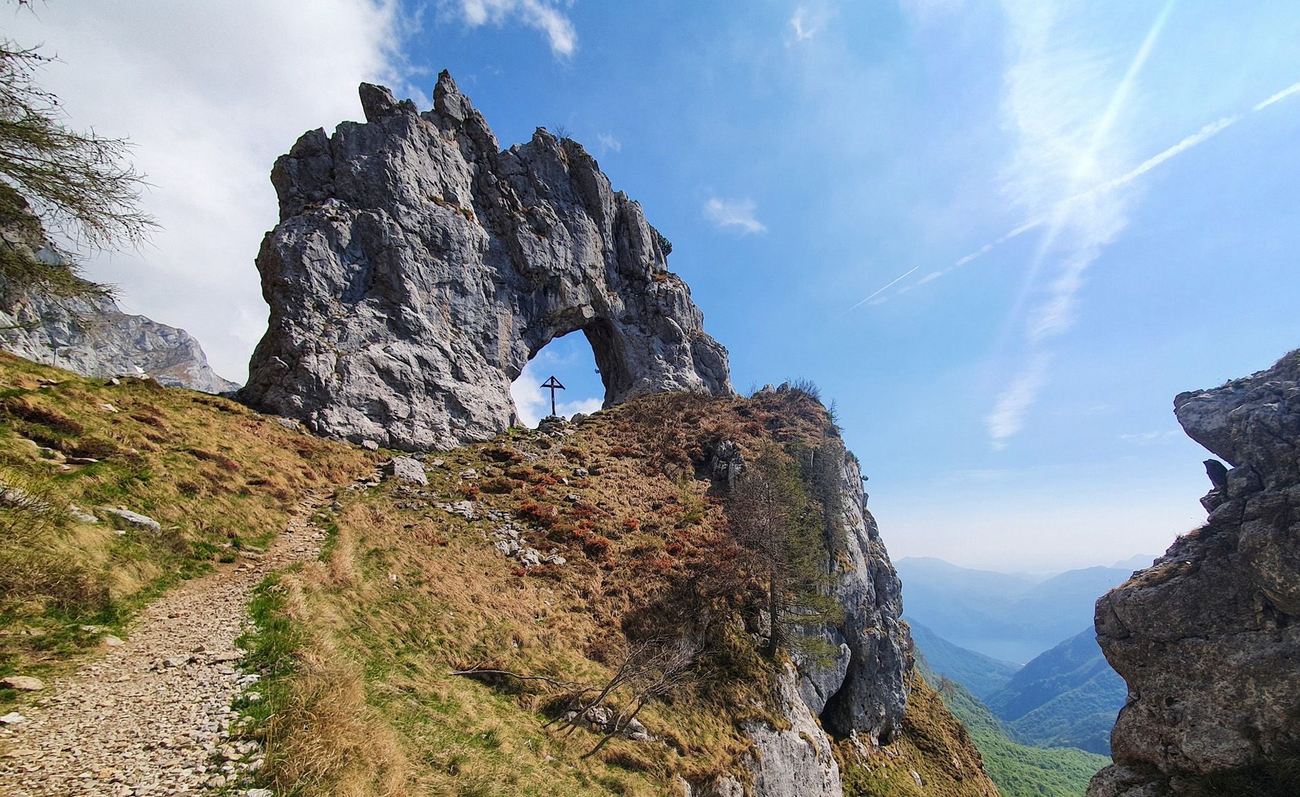
Travel slowly through Italy’s Grigna mountains – seven approach routes
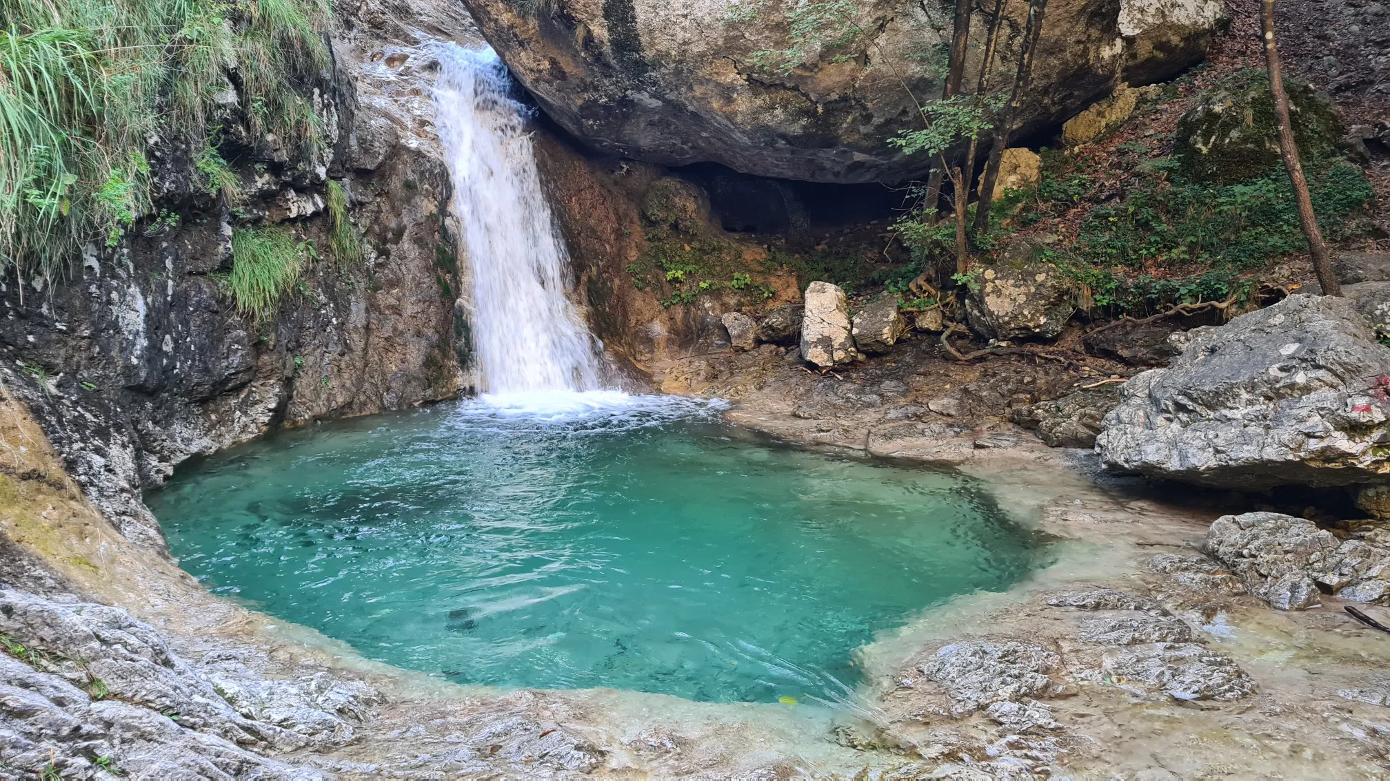
Walking on water – hiking through puddles near Lecco
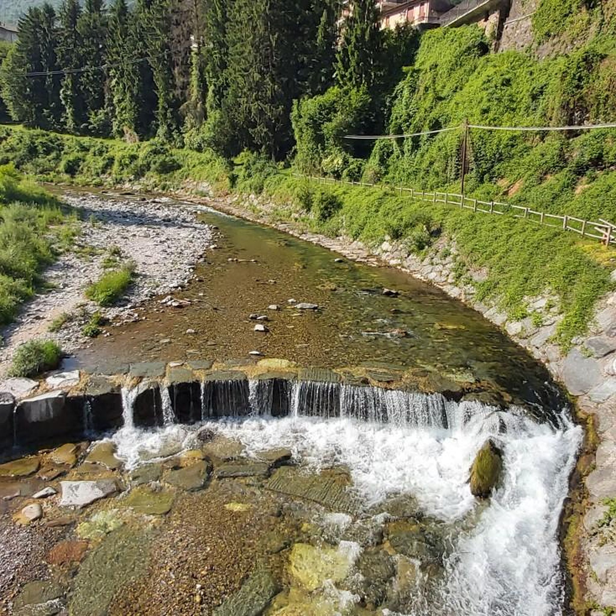
Road Cycling Routes around Cortenova
MTB Trails around Cortenova
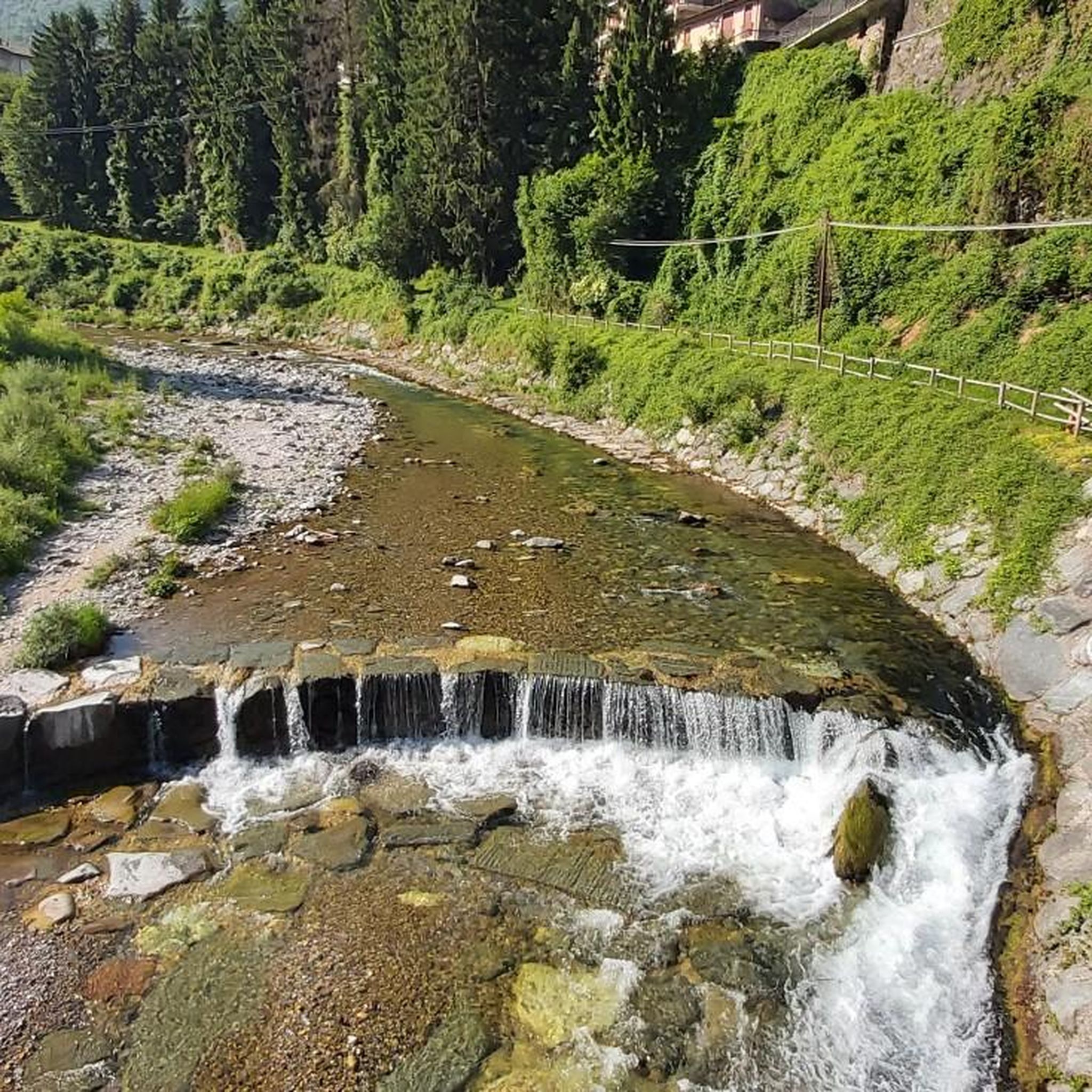
Running Trails around Cortenova
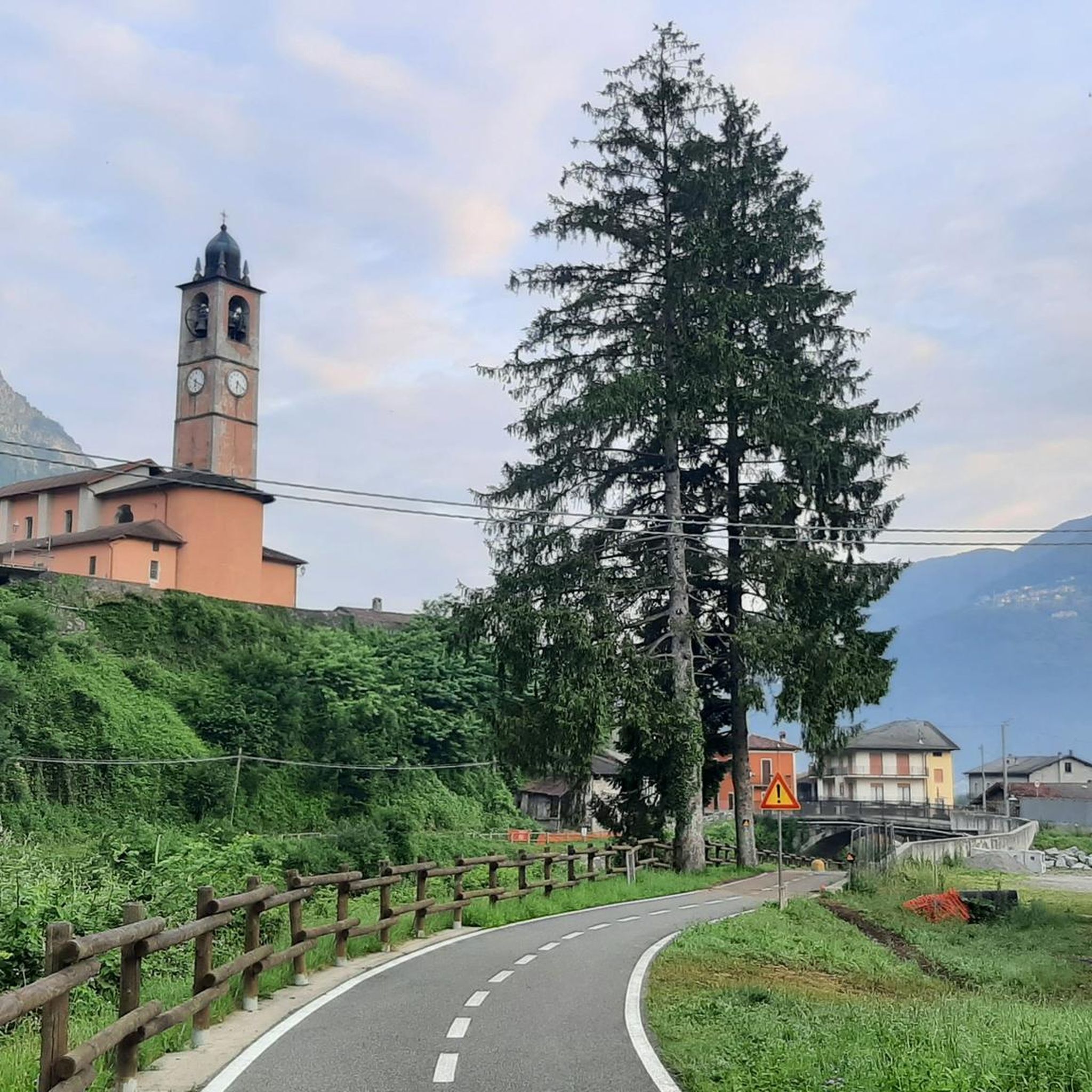
Cycling around Cortenova
Mountain Hikes around Cortenova

Gravel biking around Cortenova

Tips from the Community

Characteristic, it is located just below the Bogani refuge
0
0
Great refuge, this year I found it closed due to a change in management. In November 2024, I ate a fantastic braised meat with polenta.
0
0

This refuge is popular mainly for the ascent to the Brioschi refuge, starting from Cainallo via the well-trodden "Via della Ganda" (remember that parking is paid and must be paid at the machine five minutes from the parking lot). The food is excellent, and the climb to the refuge is classified as a hike and presents no particular difficulty. However, for those wishing to climb to the summit of Grignone, it's important to remember that, being on the north side, snow remains on the route until late spring.
0
0

The bridge has been replaced with an iron one and the road is open.
1
0

We were here in June 2025. The bridges had been rebuilt. We were able to climb up to the cave.
0
0

Going up the Ganda road you come across, on the edge of the woods, the Refuge which makes you understand that you are halfway there.
0
0

Trail interrupted at the second bridge about 500 meters from the start of the trail. If you want to continue you must cross the river on foot. Dangerous.
0
0

Be careful not to fall
0
1
Frequently Asked Questions
How many hiking trails are available around Cortenova?
Cortenova offers a diverse network of over 10 hiking trails. These routes cater to various skill levels, ranging from easy walks to challenging expeditions, ensuring there's something for every hiker.
What kind of terrain and landscapes can I expect on hikes in Cortenova?
Hiking in Cortenova features a rich variety of landscapes. You'll find trails winding through the scenic Valle dei Mulini, offering dramatic views of the Grigna Massif, and exploring varied forest paths. The region also boasts mountain peaks, natural monuments, and ancient ruins, providing a blend of natural beauty and historical intrigue.
Are there any easy or family-friendly hiking options in Cortenova?
While many trails in Cortenova are rated as difficult, there is at least one easy route available. For families or those seeking a less strenuous walk, consider exploring sections of the Valle dei Mulini or looking for shorter, less elevated paths. Always check the specific route details for suitability.
Are there any circular hiking routes in Cortenova?
Yes, Cortenova offers circular routes for hikers. One notable option is the Valle dei Mulini – Ponticelli loop from Cortenova, a challenging 6.64 km trail. Another is the Mountain View – Giant Plane Tree loop from Cortenova, which is 2.19 km long and offers mountain views.
What natural attractions or points of interest can I see while hiking in Cortenova?
The region around Cortenova is rich in natural beauty. A significant natural attraction is the Cenghen Waterfall, accessible via a simple hike. You can also explore the scenic Valle dei Mulini, discover ancient water troughs, and encounter the ruins of old 'cascine' (farmhouses) along forest trails. For those interested in geological features, the area also has caves like the Crot di Darden Cave.
What is the best time of year to go hiking in Cortenova?
Cortenova is an appealing destination for outdoor activities throughout much of the year. The diverse landscapes are beautiful in spring, summer, and autumn. For challenging mountain expeditions, summer and early autumn generally offer the most favorable conditions. Always check local weather forecasts before heading out.
Are dogs allowed on the hiking trails in Cortenova?
Generally, dogs are welcome on many hiking trails in the Cortenova region. However, it's always advisable to keep them on a leash, especially in protected areas, near livestock, or on popular paths. Please ensure you clean up after your pet to maintain the natural environment for everyone.
What do other hikers say about the trails in Cortenova?
The hiking routes in Cortenova are highly regarded by the komoot community, holding an impressive average rating of 4.5 stars from over 7,000 reviews. Hikers frequently praise the diverse terrain, stunning views of the Grigna Massif, and the blend of natural beauty with historical elements found along the trails.
Are there any challenging hikes for experienced trekkers in Cortenova?
Yes, Cortenova is known for its challenging routes. For experienced trekkers, the Valle dei Mulini to Rifugio Bogani is a demanding 13.1 km trail with significant elevation gain. Another difficult option is the From Bindo to Alpe Ortighera (via Route 664), an 11.4 km forest trail.
Where can I find parking for hiking trailheads in Cortenova?
Specific parking information varies by trailhead. Many popular starting points, especially those leading into the Valle dei Mulini or towards significant routes, typically have designated parking areas. It's recommended to check the individual route descriptions on komoot for detailed parking suggestions for your chosen hike.
Can I reach hiking trailheads in Cortenova using public transport?
While some areas around Cortenova might be accessible by local bus services, direct public transport to all trailheads can be limited. For certain routes, you might need to combine public transport with a short walk or taxi ride to reach the starting point. Planning your journey in advance and checking local transport schedules is advised.
Are there any mountain huts or refuges along the hiking trails in Cortenova?
Yes, the region includes mountain huts that can serve as destinations or rest stops. For instance, the challenging Valle dei Mulini to Rifugio Bogani route leads to Rifugio Bogani. Another notable hut in the broader area is the Rosalba Hut. Always check the operating hours and availability of huts before planning your trip.
Most popular routes around Cortenova
Most popular attractions around Cortenova

Get inspired with the komoot mobile app


Explore more
Browse the best Hikes in other regions.
