The best mountain hikes around Corna Imagna
4.5
(18)
165
hikers
4
hikes
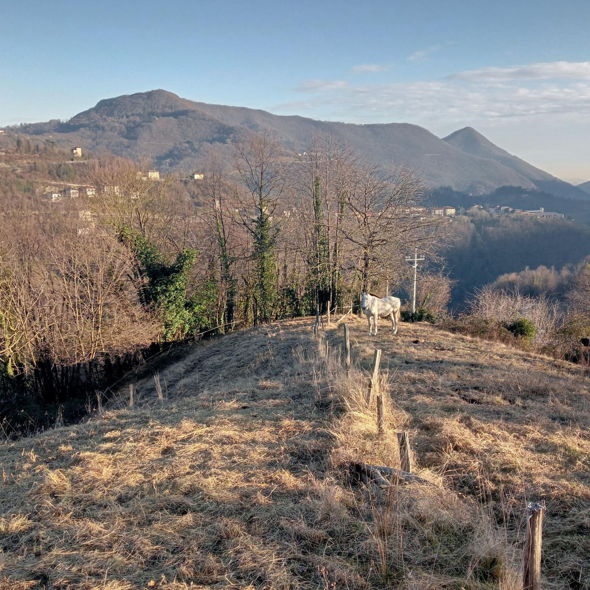
Mountaineering routes Corna Imagna are situated within the Bergamo Prealps, characterized by a diverse natural landscape of green meadows and dense forests. The region features prominent peaks like Monte Resegone and Monte Linzone, offering varied terrain for mountaineering. These routes often involve significant elevation gain and provide panoramic views of the surrounding valleys and the Lombardy plain.
Best mountaineering routes around Corna Imagna
- The most popular mountaineering route is Ferrata Gamma 2 Summit – View From Resegone loop from Piani…
Last updated: July 4, 2026
4.3
(6)
69
hikers
12.3km
08:06
1,280m
1,280m
Hard mountaineering route. Very good fitness required. Sure-footedness, sturdy shoes and alpine experience required.
5.0
(2)
21
hikers
Hard mountaineering route. Very good fitness required. Sure-footedness, sturdy shoes and alpine experience required.

Sign up for free
5.0
(5)
19
hikers
6.17km
03:12
420m
420m
Hard mountaineering route. Good fitness required. Sure-footedness, sturdy shoes and alpine experience required.
4.7
(3)
15
hikers
5.04km
04:41
660m
660m
Hard mountaineering route. Good fitness required. Sure-footedness, sturdy shoes and alpine experience required.
4.0
(1)
8
hikers
3.30km
02:42
410m
410m
Hard mountaineering route. Good fitness required. Sure-footedness, sturdy shoes and alpine experience required.
Our route recommendations are based on thousands of hikes, rides, and runs completed by other people on komoot.
Start today with a free account
Your next adventure awaits.
Login or Signup
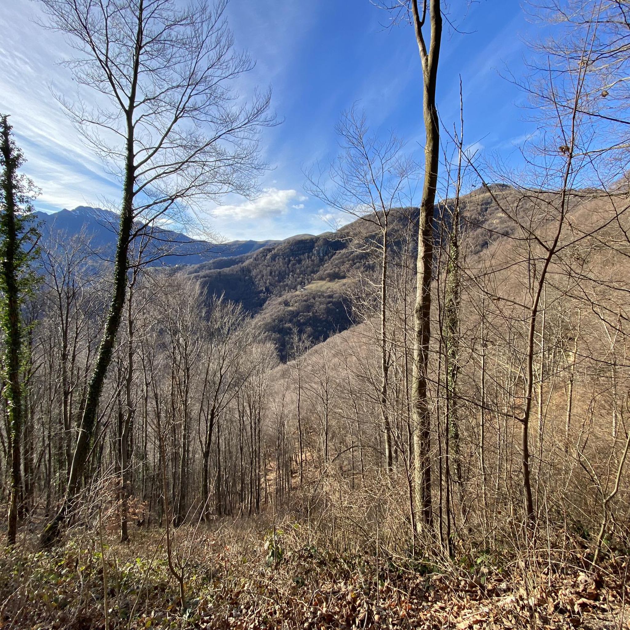
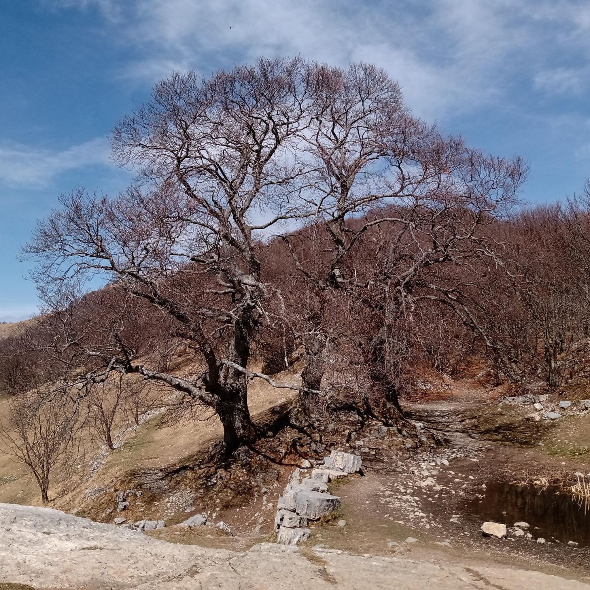
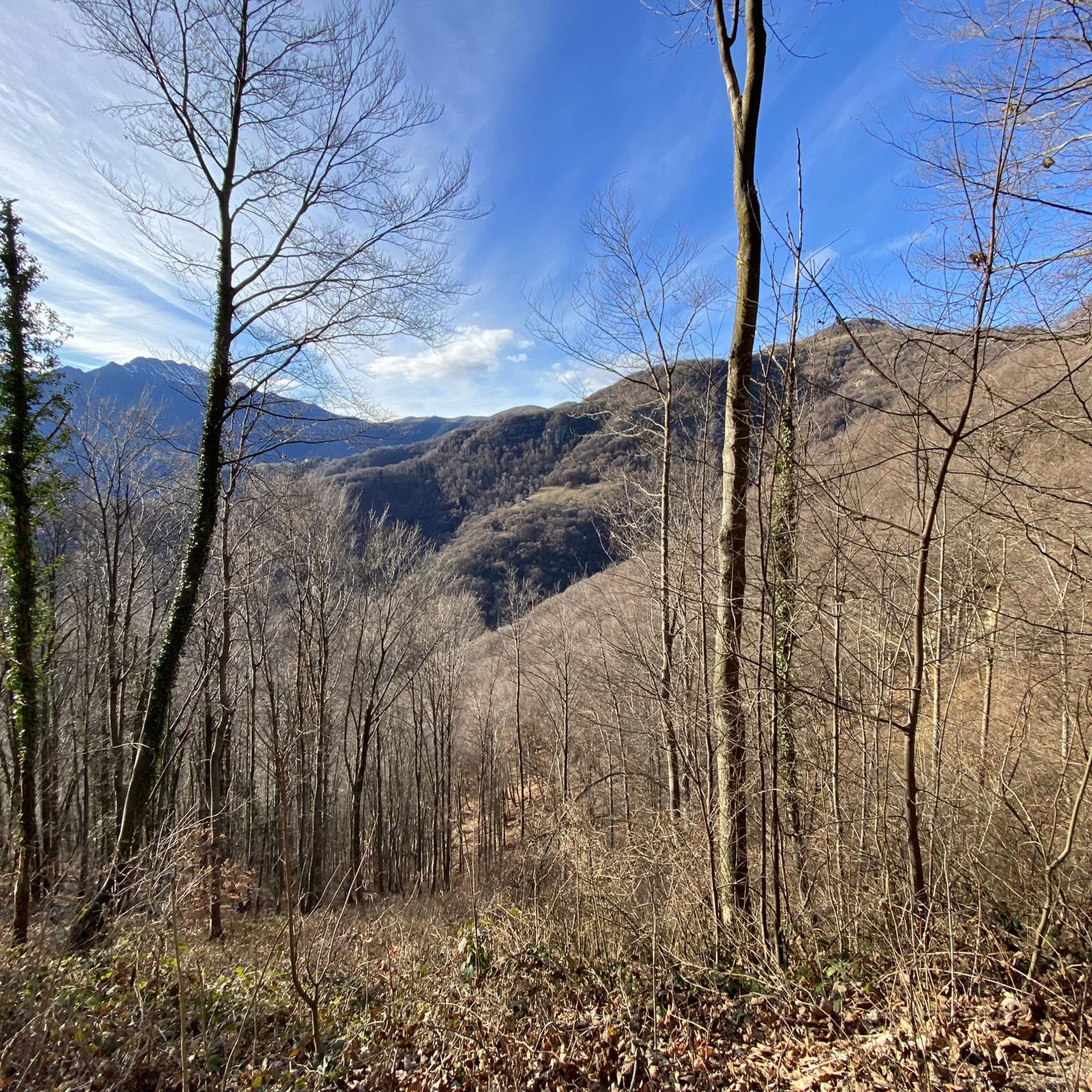
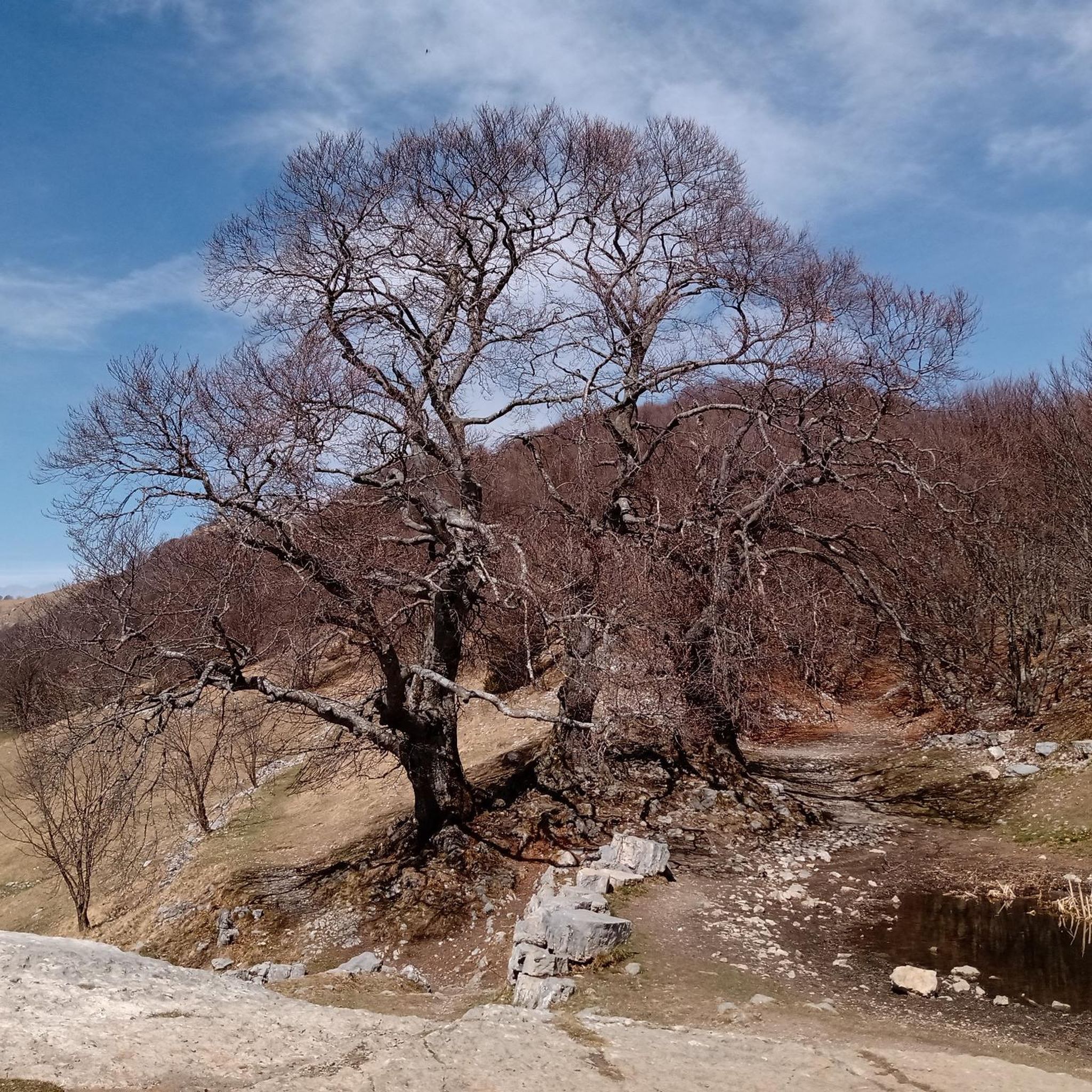

Tips from the Community

For the fittest
0
0

one of the most beautiful views of the lake and Lecco!
0
0

Spectacular view towards the tip of Lake Lecco, Grigna and Resegone
0
0

A crossroads for many Resegone routes. Very famous for being the reference point for the centenary via ferrata.
0
0

Watch out for ticks... last year's experience
0
0

The via ferrata and path are currently completely closed!!
0
0

Great get together, always lots of friends!
1
0

Frequently Asked Questions
What level of difficulty can I expect from mountaineering routes in Corna Imagna?
Mountaineering in Corna Imagna is primarily suited for experienced individuals. The routes often involve significant elevation gain and demand good fitness, sure-footedness, sturdy shoes, and alpine experience. Most of the routes are rated as difficult, with only one moderate option available.
Are there any circular mountaineering routes in the Corna Imagna area?
Yes, all the mountaineering routes listed for Corna Imagna are circular loops. For example, you can explore the challenging Ferrata Gamma 2 Summit – View From Resegone loop from Piani d'Erna, which offers spectacular vistas from Monte Resegone.
What are some of the key natural features and landmarks I can see while mountaineering in Corna Imagna?
The region is characterized by prominent peaks like Monte Resegone and Monte Linzone, offering panoramic views of the surrounding valleys and the Lombardy plain. You'll encounter diverse landscapes including dense forests, green meadows, and rugged rock formations. The area also features the beautiful Valle Imagna with its streams and springs, and the peak of Corna Camozzerra.
Are there any mountain huts or refuges available along the routes?
Yes, the Luigi Azzoni Hut on Monte Resegone is a vital point of reference, open year-round on weekends and daily in summer, offering food and overnight accommodation. Other huts in the vicinity include the Gherardi Hut and the Stoppani Hut.
What are the best viewpoints to experience the scenery of Corna Imagna?
Many routes offer stunning views. The summit of Monte Resegone provides panoramic views stretching from the Orobie Prealps to the plains, encompassing the Alpine arc and Apennines. Monte Linzone offers 360-degree views of the surrounding valleys and the Bergamo plain. The Artavaggio Plateau is another notable viewpoint.
What do other mountaineers say about the routes in Corna Imagna?
The mountaineering routes in Corna Imagna are highly rated by the komoot community, with an average score of 4.6 stars from more than 17 reviews. Users often praise the challenging ascents, spectacular vistas, and varied mountain terrain.
Are there any routes that offer views of Lake Lecco?
Yes, a scenic route to Monte Resegone starting from Passo del Pertus, which leads to Rifugio Azzoni and the summit cross, rewards hikers with spectacular views of Lake Lecco, the Lombardy plain, and the Orobie Mountains.
Can I find routes that are suitable for multi-day hikes?
The Bergamo side of Resegone offers a high-altitude path for multi-day hikes overlooking Valle Imagna, providing an extended experience for those looking for longer adventures.
Are there any specific trails known for their natural springs or water features?
Yes, the Sentiero delle Sorgenti is an easy trail that follows the course of streams to cool mountain springs, offering a refreshing experience.
What is the longest mountaineering route in Corna Imagna?
One of the longer and more challenging routes is the View From Resegone – Stone Water Fountain loop from Piani d'Erna, which is approximately 15 kilometers long and offers extensive views across the Imagna Valley.
Are there any routes that include a summit cross or bivouac?
Yes, the Crest Trail on Monte Due Mani – Mount Two Hands Ridge loop from Piani d'Erna leads to the Summit cross and Locatelli–Milani–Scaioli bivouac, Monte Due Mani, offering a rewarding experience for mountaineers.
Most popular routes around Corna Imagna
Most popular attractions around Corna Imagna

Get inspired with the komoot mobile app


Explore more
Browse the best Mountain Hikes & Routes in other regions.
