The best walks and hikes around Alserio
4.4
(5024)
28,147
hikers
439
hikes
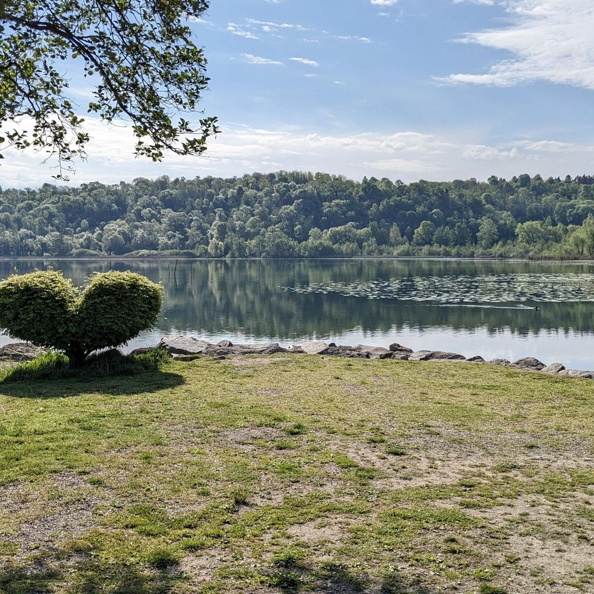
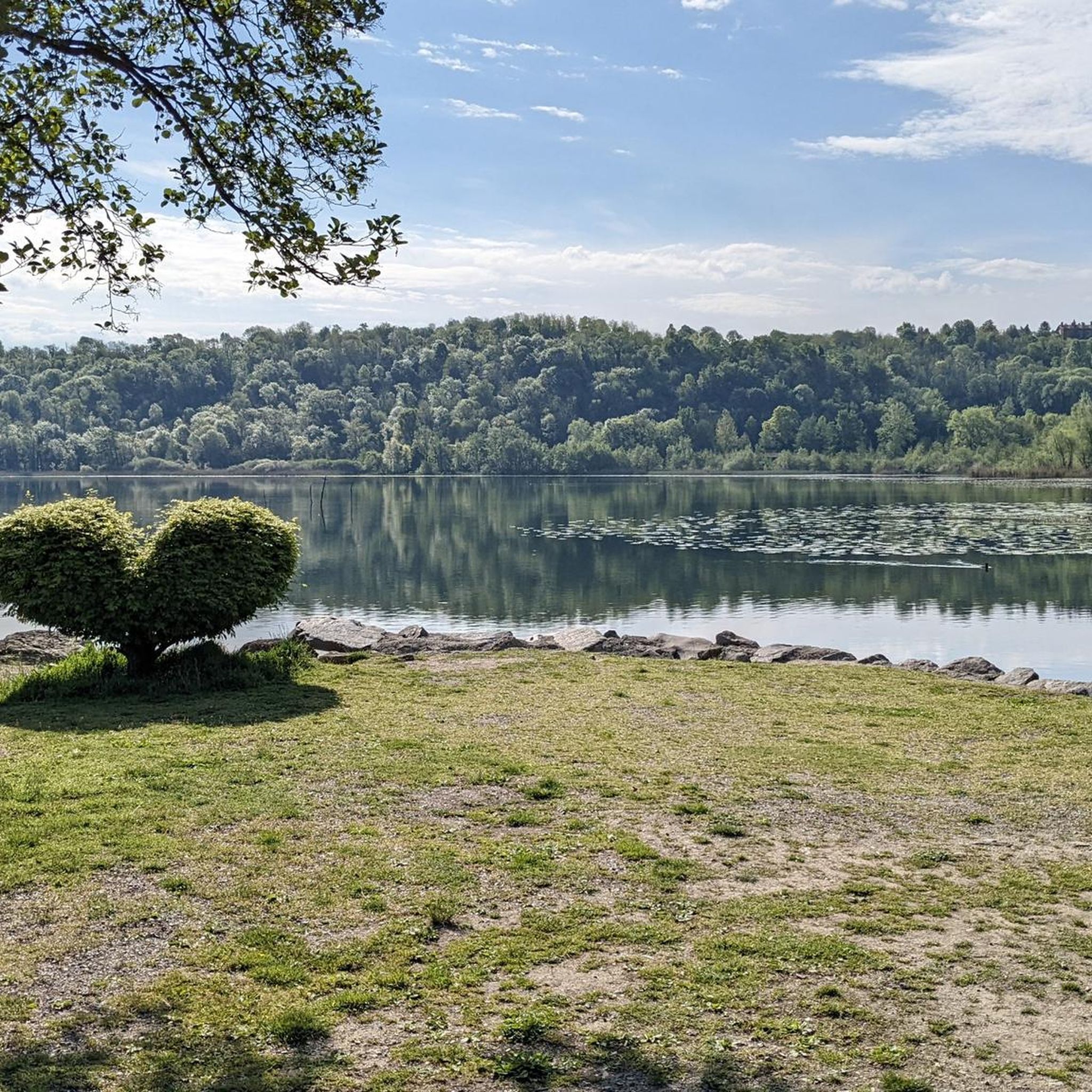
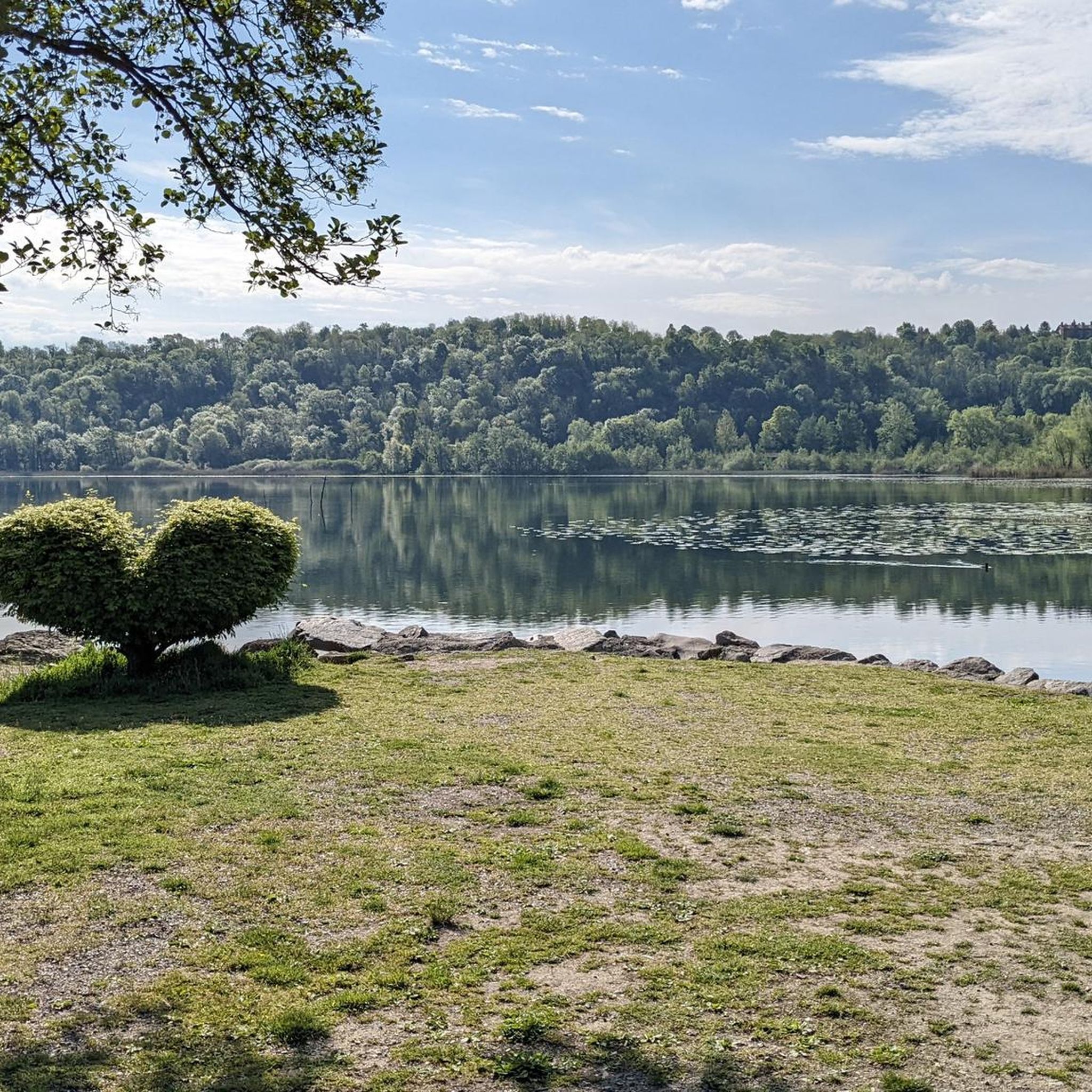
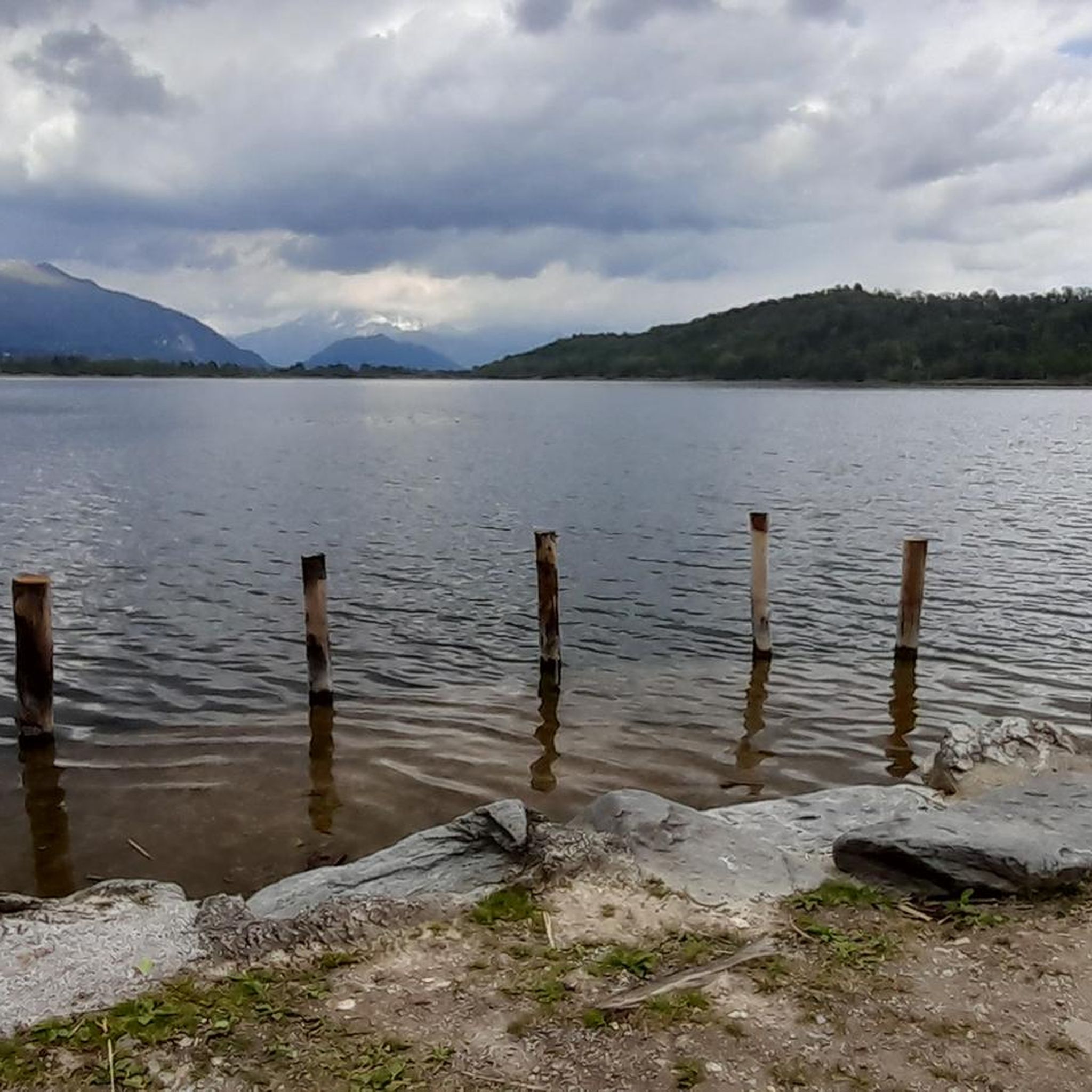
Hiking around Alserio offers diverse landscapes centered on Lake Alserio, a glacial lake known for its tranquil wetlands and extensive reed beds. The region features wooded hills, such as Buerga Hill, and morainic hills that provide varied terrain. This area, part of the Lambro Valley Regional Park, is recognized for its high biodiversity and protected natural features. The network of trails combines natural beauty with historical and cultural elements.
Best hiking trails around Alserio
- The most popular hiking route is…
Last updated: September 28, 2026
4.9
(8)
84
hikers
13.1km
04:33
710m
710m
Moderate hike. Good fitness required. Mostly accessible paths. Sure-footedness required.
5.0
(1)
3
hikers
6.73km
01:50
90m
90m
Easy hike. Great for any fitness level. Easily-accessible paths. Suitable for all skill levels.

3
hikers
4.30km
01:41
320m
320m
Moderate hike. Good fitness required. Easily-accessible paths. Suitable for all skill levels.
4.8
(42)
275
hikers
20.7km
07:03
990m
990m
Hard hike. Very good fitness required. Mostly accessible paths. Sure-footedness required.
4.6
(44)
310
hikers
24.6km
08:55
1,340m
1,340m
Hard hike. Very good fitness required. Sure-footedness, sturdy shoes and alpine experience required.
Get access to more routes and recommendations from other explorers.
Already have an account?
Our route recommendations are based on thousands of hikes, rides, and runs completed by other people on komoot.
Start today with a free account
Your next adventure awaits.

Tips from the Community

This nozzle is located at the foot of Mount Palanzone
0
0
Beautiful summit where you have a 360° view
1
1

crossroads between Alpe del Prina, Palanzo, Rif. Riella
0
0

Very nice place, since I passed by there very early the refuge was closed but 50m away there is an ultra-panoramic clearing
1
0
Cima Very beautiful and very panoramic on the lake
0
0

Beautiful. The view is very panoramic.
0
0

Rifugio Riella is located at about 1,275 meters above sea level on the western side of Monte Palanzone, in the municipality of Faggeto Lario, in the province of Como. Built in 1908 by the Pizzo Badile Club and dedicated to Angelo Riella, the refuge was renovated in 2008. Managed by Marco Brenna, it offers 25 beds and a dining area with 60 seats inside and another 30 seats outside. It is equipped with services such as hot water, heating and a rock gym for sport climbing. The refuge is open all year round, with variable hours: during the months of July and August it is open every day, while during the rest of the year it is available on weekends and Wednesdays. It is advisable to check the opening hours and book in advance, especially during periods of high attendance. To reach Rifugio Riella, you can start from Colma di Sormano, a pass located at 1,124 meters above sea level, and follow a well-marked path that leads to the refuge in about 1 hour and 30 minutes, with a difference in altitude of 300 meters. Once there, visitors can enjoy a spectacular panoramic view of Lake Como and the Lombard Prealps, making Rifugio Riella an ideal destination for excursions and outdoor activities, but also for moments of relaxation immersed in nature.
2
2
Monte Bul is a mountain located in the municipality of Caglio, in the province of Como, in the Larian Prealps, with an altitude of about 1,406 meters. This mountain is part of the Dorsale Lariana Como-Bellagio and, although it is less known than the nearby Monte Palanzone, it offers spectacular views of the Lambro Valley, Lake Como and the surrounding mountains. The climb to Monte Bul is a challenging hike, suitable for hikers with good physical preparation. The route, which generally starts from Caglio or Sormano, passes through woods and clearings and has steep sections, making the climb quite tiring but rewarding. Once at the top, you can enjoy a panoramic view that extends over the lake and the surrounding peaks. From Monte Bul, it is possible to continue towards other peaks of the Larian Prealps, such as Monte Palanzone or Monte San Primo, creating a hiking ring that allows you to explore various peaks in the area. The best time to hike is in spring or autumn, when the climate is mild and the surrounding vegetation is particularly lush. It is important to check the weather and snow reports before starting the hike to ensure safety during the journey.
3
0
Frequently Asked Questions
How many hiking trails are available around Alserio?
Alserio offers a wide variety of hiking opportunities, with over 450 routes available. These range from easy lakeside strolls to more challenging climbs in the surrounding hills, ensuring options for all fitness levels.
What kind of terrain can I expect on hikes around Lake Alserio?
The terrain around Lake Alserio is quite diverse. You'll find tranquil paths along the lake's edge, characterized by extensive reed beds and wetlands. Further afield, the region features wooded and morainic hills, such as Buerga Hill, offering varied ascents and descents through natural landscapes.
Are there any easy, family-friendly walks suitable for beginners?
Yes, Alserio has many easy routes perfect for families and beginners. A popular choice is the Lakeside Trail at Lake Alserio – Lake Alserio loop from Alserio, an easy 5.7 km trail that takes about 1 hour 30 minutes. It offers a gentle walk along the water's edge, showcasing the lake's natural beauty.
Can I find circular hiking routes in Alserio?
Many of the trails around Alserio are circular, allowing you to start and end at the same point. For example, the Casin del Lago – Lake Alserio Cycling Route loop from Anzano del Parco is a moderate 8.4 km path that takes you through diverse landscapes, including historical elements.
What historical or cultural points of interest can I see while hiking?
Beyond natural beauty, Alserio's trails often pass by historical and cultural sites. You can explore attractions like the restored Lavatory and the didactic Mill near the Gardens at the Lake, which highlight the historical importance of water to the local economy. The Gardens on Lake Alserio – Alserio Washhouse loop from Alserio is a great route to experience these.
Are there any waterfalls to visit near Alserio?
Yes, the region around Alserio features several beautiful waterfalls. You can explore the Vallategna Waterfall or the Oasi di Baggero Waterfall, both offering picturesque natural sights.
Where can I find panoramic views of the lakes and surrounding area?
For breathtaking panoramic views, consider a hike to Monte Cornizzolo. From its summit cross, you can enjoy 360-degree vistas of several lakes, including Como, Pusiano, Annone, and Garlate, making it a rewarding experience for mountain enthusiasts.
What do other hikers say about the trails in Alserio?
The hiking trails in Alserio are highly regarded by the komoot community, with an average rating of 4.4 stars from over 4,300 reviews. Hikers often praise the tranquil atmosphere of the lake, the well-maintained paths, and the diverse natural beauty of the protected wetlands and surrounding hills.
Are there any challenging hikes for experienced hikers?
Yes, for those seeking a more strenuous adventure, there are difficult routes available. The Hunters' Hut – Monument to Mount Bul loop from Erba is a challenging 24.3 km trail with significant elevation gain, typically taking over 8 hours to complete.
What is the best way to experience the unique wetland ecosystem of Lake Alserio?
To fully appreciate the unique wetland ecosystem, focus on the lakeside trails. These paths wind through extensive reed beds that form a protected sanctuary for diverse birdlife. Educational panels along the walking paths often provide information about the rare and protected species found in the area, offering a deeper insight into its biodiversity.
Are there any trails that explore the wooded hills around Alserio?
Absolutely. The naturalistic route of Buerga, accessible from the Alserio cemetery, follows an old mule track through the wooded hills. This trail offers a different hiking experience compared to the lakeside paths, with informative signs about local flora and fauna, and even features the historical 'Ghiacciaia del Pizzo' where ice was once conserved.
Most popular attractions around Alserio

Get inspired with the komoot mobile app


Explore more
Browse the best Hikes in other regions.
