The best MTB trails around Orsenigo
4.3
(2474)
13,904
riders
336
rides
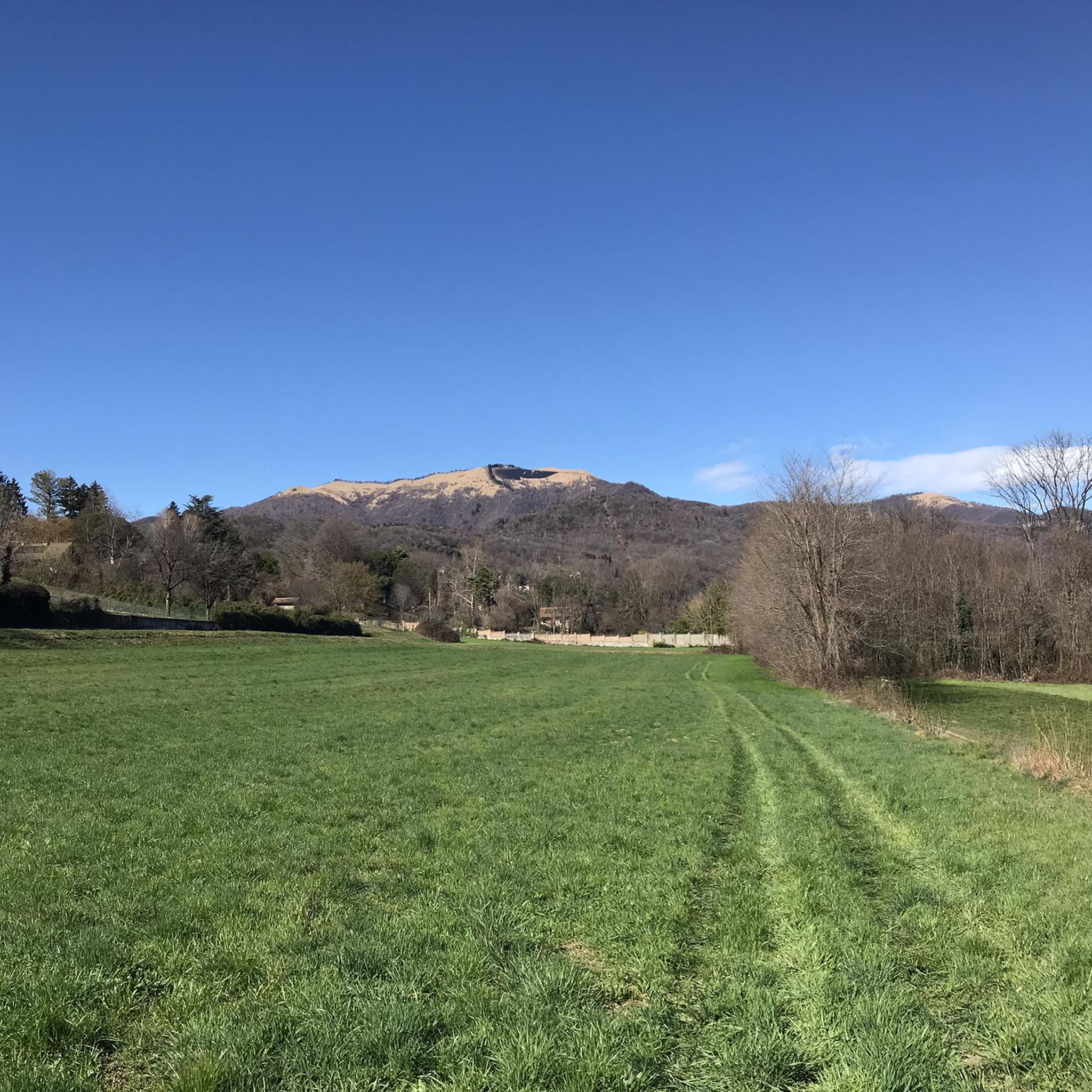
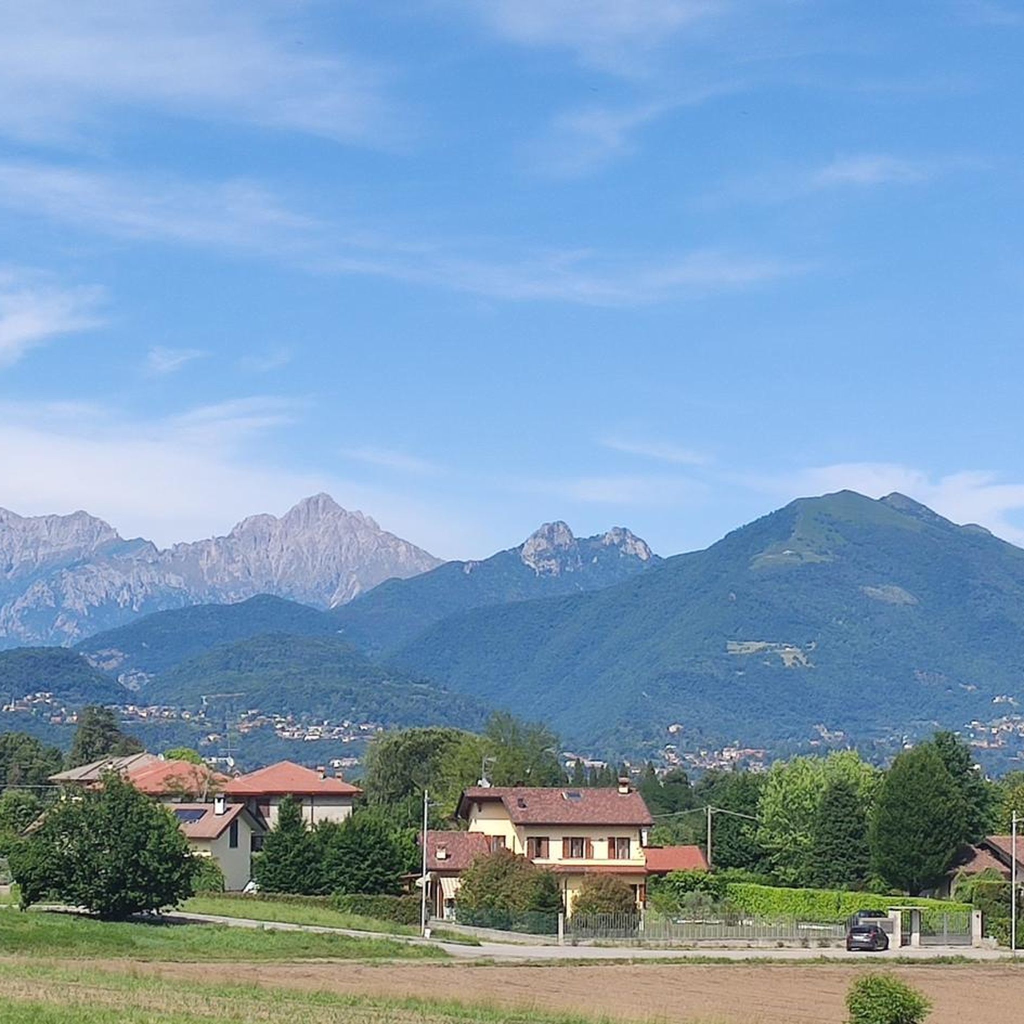
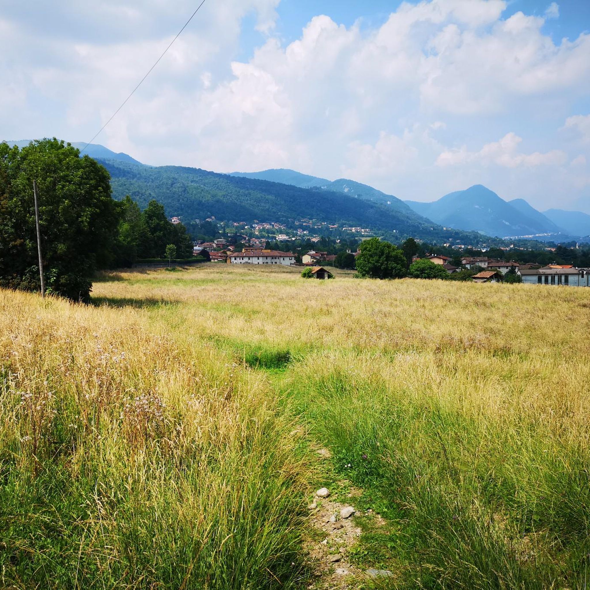
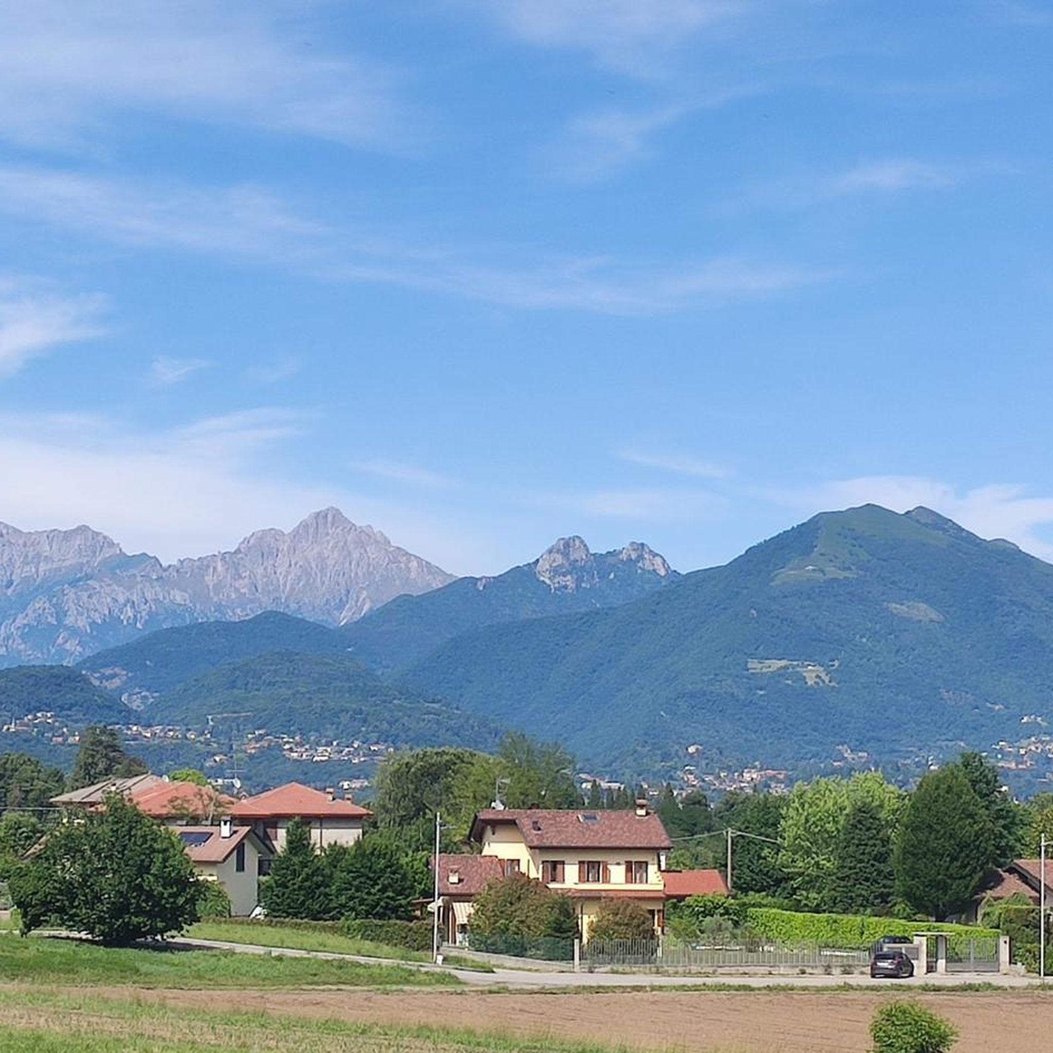
Mountain biking around Orsenigo is characterized by its morainic landscape, featuring undulating terrain and hills formed by glacial deposits. This geological history provides natural variations in elevation, creating a dynamic riding experience. The region includes extensive green areas like La Brughiera, offering wooded paths and diverse terrain suitable for mountain biking. Trails often navigate through forests and alongside natural landmarks, providing varied surfaces from compact ground to sections with roots and stones.
Best mountain bike trails around Orsenigo
- The most…
Last updated: October 8, 2026
4.7
(32)
192
riders
20.2km
02:06
500m
500m
Moderate mountain bike ride. Good fitness required. Suitable for all skill levels.
4.6
(17)
172
riders
28.3km
03:14
1,070m
1,070m
Hard mountain bike ride. Very good fitness required. Advanced riding skills necessary. Some portions of the route may require you to push your bike.

4.2
(6)
75
riders
18.1km
01:33
530m
530m
Moderate mountain bike ride. Good fitness required. Advanced riding skills necessary.
3.0
(2)
66
riders
43.9km
04:34
1,450m
1,450m
Hard mountain bike ride. Very good fitness required. Advanced riding skills necessary. Some portions of the route may require you to push your bike.
4.4
(24)
236
riders
25.1km
02:29
790m
790m
Hard mountain bike ride. Good fitness required. Advanced riding skills necessary. Some portions of the route may require you to push your bike.
Get access to more routes and recommendations from other explorers.
Already have an account?
Our route recommendations are based on thousands of hikes, rides, and runs completed by other people on komoot.
Start today with a free account
Your next adventure awaits.
Tips from the Community

Viewpoint a few steps from Capanna Mara
0
0
This junction is located on the path leading to the Riella refuge and Mount Palanzone
0
0
This nozzle is located at the foot of Mount Palanzone
0
0

Downhill it's quite simple, uphill there are several steep sections, steps, or with a large gradient. I like it as an alternative to the asphalt road to get up to the alpine pasture, I always have to put in a lot of effort and experience to go up without assistance.
0
0

The Cascata della Vallategna is a spectacular waterfall of about 30 meters located on the geographical border between the municipalities of Asso and Canzo, in the province of Como. This natural attraction represents a famous symbolic border, as it separates the end of the hilly Brianza from the beginning of the mountainous area of Vallassina.
3
0

Very beautiful trail. Little exposed except for one or two spots, passage of several requires walking, unless you are a trial rider…
0
0

Stupendous path immersed in a very clean beech forest
0
0

Monument dedicated to Angelo Marelli
0
0
Frequently Asked Questions
How many mountain bike trails are available around Orsenigo?
There are over 300 mountain bike trails around Orsenigo, offering a wide range of options for different skill levels and preferences. This includes 56 easy routes, 161 moderate routes, and 112 difficult routes.
Are there mountain bike trails suitable for beginners in Orsenigo?
Yes, Orsenigo offers several easy mountain bike trails. These routes often feature mostly paved surfaces or compact ground, ideal for those new to mountain biking or looking for a relaxing ride. You can find 56 easy routes in the area.
What kind of terrain can I expect on mountain bike trails in Orsenigo?
The terrain around Orsenigo is diverse, characterized by its morainic landscape with undulating hills and varied elevations. Trails often feature a mix of paved roads, gravel tracks, and singletracks. In areas like La Brughiera, you'll encounter compact to slightly compact ground, small roots, and stones, providing a dynamic riding experience through wooded areas.
Are there any family-friendly mountain bike trails in Orsenigo?
While specific 'family-friendly' designations aren't always explicit, the easier routes in Orsenigo, particularly those with mostly paved or compact surfaces, can be suitable for families. These trails often pass through scenic green areas, offering a pleasant outdoor experience for all ages.
Can I find circular mountain bike routes in Orsenigo?
Yes, many mountain bike routes around Orsenigo are designed as loops, allowing you to start and finish at the same point. For example, the Montorfano Lake Trail – Lake Montorfano loop from Montorfano is a moderate 15.9 km circular route that offers scenic views around Lake Montorfano.
What natural features or landmarks can I see along the mountain bike trails?
Mountain bike trails in Orsenigo often pass through significant natural areas. You can explore 'La Brughiera,' an extensive green area known for its heather and wooded paths, where you might spot local wildlife. Many routes also incorporate destinations like Lake Montorfano, offering scenic water views. Additionally, you can find highlights such as the Oasi di Baggero and Green Lakes along the Lambro or the Vallategna Waterfall.
What do other mountain bikers enjoy most about the trails in Orsenigo?
The mountain bike trails around Orsenigo are highly rated by the komoot community, with an average score of 4.4 stars from over 1700 reviews. Riders often praise the diverse terrain, the dynamic 'up and down' nature of the morainic hills, and the scenic beauty of areas like La Brughiera and Lake Montorfano.
Are there any advanced or challenging mountain bike routes in the area?
Absolutely. Orsenigo offers 112 difficult mountain bike routes for experienced riders. These trails feature significant elevation gains and descents, often through wooded areas with varied surfaces including roots and stones. An example is the Gelato Shop – Ascent to Alpe del Viceré loop from Albese con Cassano, a challenging 10.9 km route.
What is the best time of year for mountain biking in Orsenigo?
The morainic landscape and diverse terrain of Orsenigo make it suitable for mountain biking across multiple seasons. Spring and autumn generally offer pleasant temperatures and vibrant scenery. While some trails might be accessible in winter, conditions can vary, especially on unpaved sections with roots and stones.
Are there mountain bike trails that offer panoramic views?
Yes, the undulating morainic hills around Orsenigo provide natural viewpoints. Routes that ascend to higher elevations, particularly those leading towards areas like Alpe del Viceré or Monte Bolletto, often reward riders with panoramic views of the surrounding landscape. The Boletto Hut - Fabrizio – Monte Bolletto junction loop from Erba is known for offering such vistas.
Most popular attractions around Orsenigo

Get inspired with the komoot mobile app


Explore more
Browse the best MTB trails in other regions.
