The best mountain hikes around Spriana
11
hikers
2
hikes
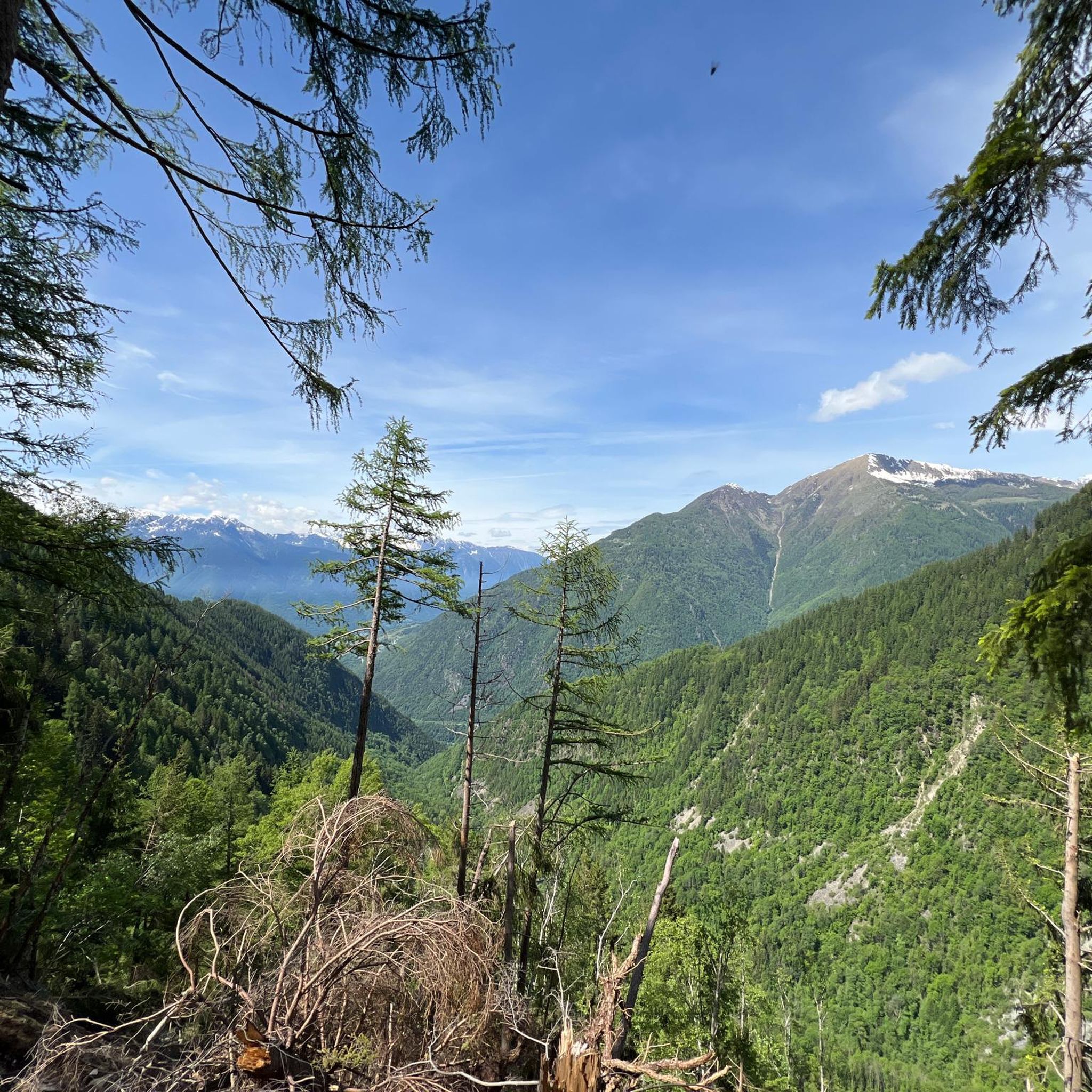
Mountaineering around Spriana, located in Italy's Lombardy Region within the Sondrio Province, offers access to the grand alpine landscapes of the Alps. The region is characterized by towering peaks, deep valleys, and diverse ecosystems, providing a challenging environment for mountaineers. While known for bouldering on coarse granite, the broader area features significant elevation changes and rugged terrain suitable for more extensive mountaineering routes.
Best mountaineering routes around Spriana
- The most popular mountaineering route is View of Fellaria Glacier – Alpe…
Last updated: October 8, 2026
8
hikers
12.4km
06:05
1,060m
1,060m
Hard mountaineering route. Very good fitness required. Sure-footedness, sturdy shoes and alpine experience required.
2
hikers
15.5km
06:49
880m
880m
Hard mountaineering route. Very good fitness required. Sure-footedness, sturdy shoes and alpine experience required.

1
hikers
9.23km
03:31
560m
560m
Moderate mountaineering route. Good fitness required. Mostly accessible paths. Sure-footedness required.
Our route recommendations are based on thousands of hikes, rides, and runs completed by other people on komoot.
Start today with a free account
Your next adventure awaits.
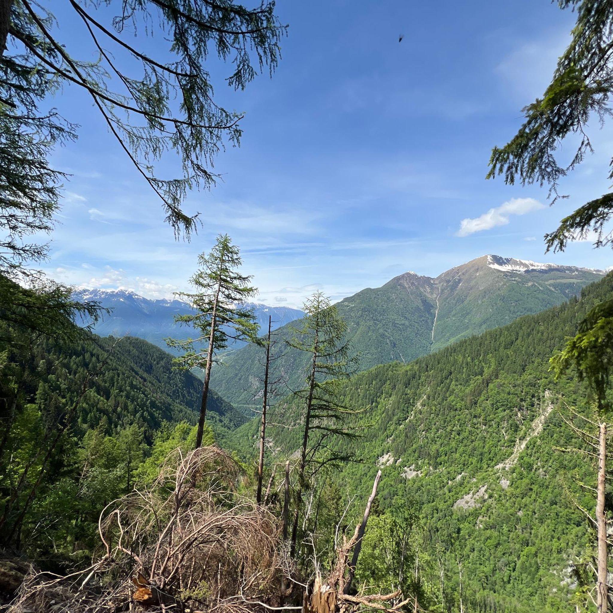
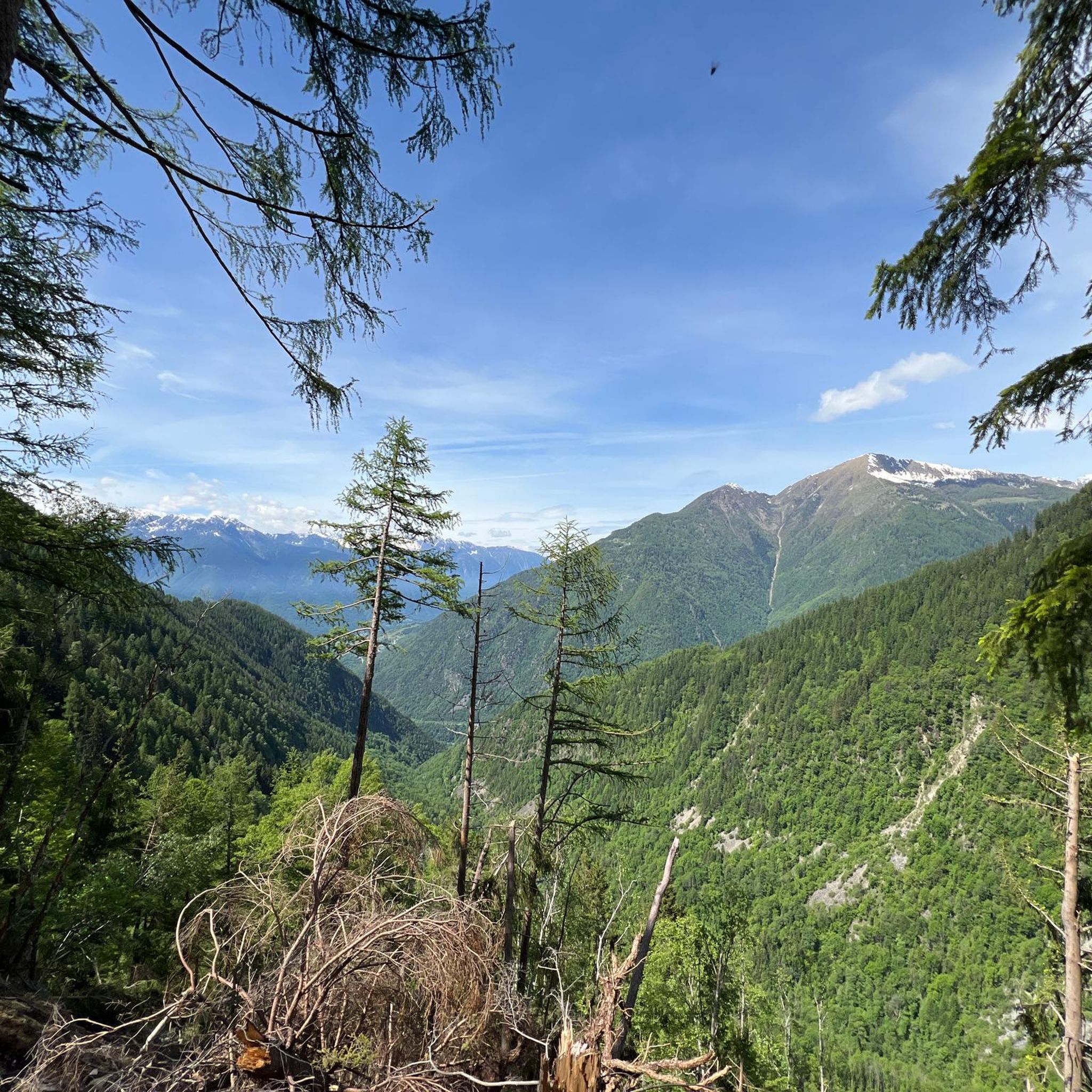
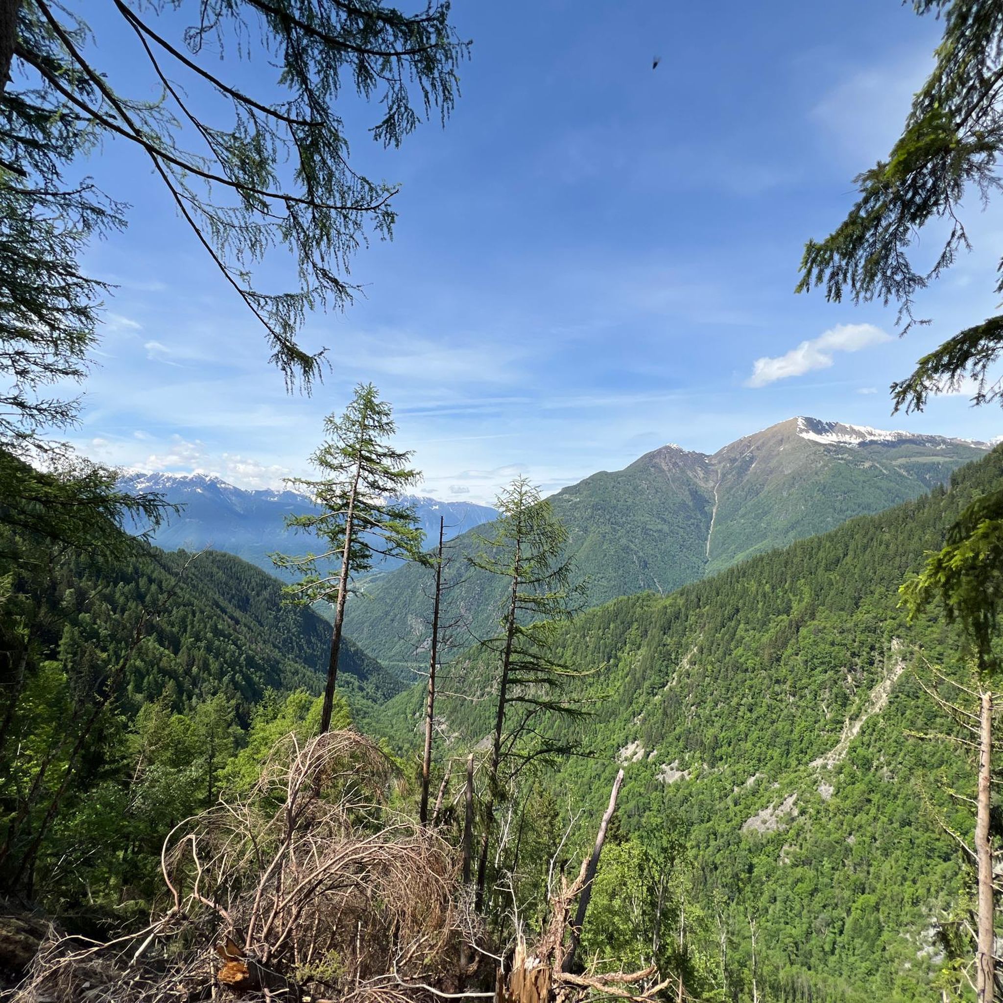
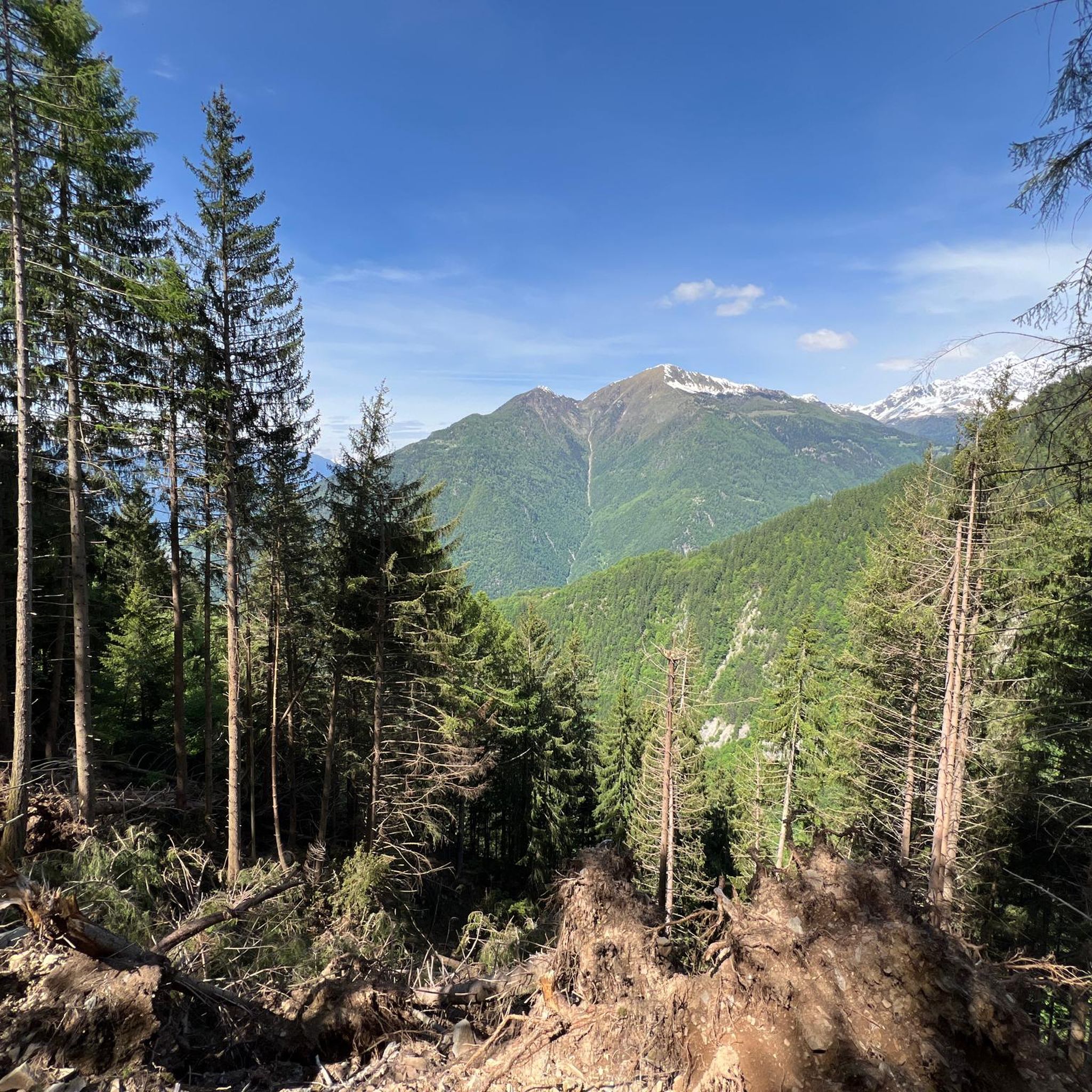

Tips from the Community

Rest stop near Campo Moro.
2
0
Recommended lunch at Rifugio Zoia!
2
0
Beautiful trails in Valmalenco.
2
0
Starting point for the ascent to Bernina, in the heart of Valmalenco.
2
0
This refuge has a beautiful panoramic terrace from which to enjoy an excellent lunch at altitude.
2
0

It is a mountain pasture where cheese is produced. They have both goats and cows and a donkey. I also saw smoking near the rock face. The product is the same as what is later served in the mountain hut (a few hundred meters away).
0
0


imposing dam, a passage point for the Bignami refuge and the Fellaria ice
0
0
Frequently Asked Questions
What kind of mountaineering routes can I find around Spriana?
The Spriana area offers a range of mountaineering routes, primarily moderate to difficult, characterized by alpine landscapes, towering peaks, and granite rock formations. You'll find trails with significant elevation changes and rugged terrain, suitable for those seeking a challenge in the Alps.
Are there any circular mountaineering routes in the Spriana area?
Yes, several routes are circular. For example, the difficult View of Fellaria Glacier – Alpe Gembrè, 2217m loop from Campo Moro is a 17.3 km trail offering expansive glacier views. Another option is the difficult Pizzo Meriggio loop from Albosaggia, which is 12.6 km through alpine terrain. For a moderate option, consider the Rifugio Cristina loop from Fang, an 11.2 km trail.
What is the best season for mountaineering in Spriana?
Spring and fall are generally considered the best times for mountaineering and climbing in the Spriana region. Summers can be quite hot, and winter often brings significant snowfall, which can cover routes and bouldering areas.
What are some notable natural attractions or landmarks to see while mountaineering near Spriana?
The region is rich in natural beauty. You might encounter highlights such as Cristina Hut, the serene Lake Lagazzuolo, or the impressive Suspension Bridge over the Cassandre of the Mallero. The area also features various mountain peaks like Pizzo Scalino Summit and Monte Motta.
Are there any beginner-friendly mountaineering routes around Spriana?
The routes listed for mountaineering in this guide are generally moderate to difficult. For those new to mountaineering, the Rifugio Cristina loop from Fang (11.2 km) or the Rifugio Alpe Musella loop from Caral (9.2 km) are rated as moderate and could be suitable for those with some hiking experience looking to step into mountaineering.
What do other mountaineers say about the routes in Spriana?
The mountaineering routes around Spriana are highly rated by the komoot community, with an average score of 5.0 stars. Over 40 mountaineers have explored the varied terrain, often praising the challenging alpine landscapes and stunning views.
What is the typical difficulty and distance for mountaineering routes in this area?
Mountaineering routes in Spriana range from moderate to difficult. Distances typically vary between 9 km and 17 km, with durations from approximately 3.5 hours to 7 hours, depending on the specific route and your pace. Expect significant elevation gains on most trails.
Are there any huts or refuges along the mountaineering routes for breaks or overnight stays?
Yes, some routes pass by or lead to mountain huts. For instance, the Rifugio Cristina loop from Fang is named after a hut, and the Rifugio Alpe Musella loop from Caral also features a refuge. These can be good spots for a break or to extend your trip.
What kind of rock formations can be expected in the Spriana region?
The Spriana region is known for its coarse granite rock. This is particularly evident in local bouldering areas and contributes to the rugged, alpine character of the mountaineering routes.
Are there opportunities for bouldering in Spriana?
Yes, Spriana is recognized for its bouldering opportunities. There's a dedicated bouldering area within the town park itself, featuring coarse granite rock with problems suitable for various skill levels, including young and solo climbers.
How many mountaineering routes are covered in this guide for Spriana?
This guide features 5 distinct mountaineering routes around Spriana, offering a selection of moderate to difficult challenges for exploring the region's alpine terrain.
Most popular routes around Spriana
Most popular attractions around Spriana

Get inspired with the komoot mobile app


Explore more
Browse the best Mountain Hikes & Routes in other regions.
