The best cycling routes around Ossimo
4.4
(348)
5,701
riders
177
rides
Touring cycling routes around Ossimo are situated within the Lombardy region of Italy, characterized by diverse terrain ranging from the majestic Adamello mountain range to serene valleys. The area features significant elevation changes, with routes winding through mountainous environments and alongside river paths like those found in Val Camonica. This varied landscape offers a mix of challenging climbs and more gentle rides, catering to different cycling preferences.
Best touring cycling routes around Ossimo
- The most popular touring cycling route is…
Last updated: July 6, 2026
4.8
(5)
203
riders
106km
09:35
3,940m
3,940m
Hard bike ride. Very good fitness required. Mostly paved surfaces. Suitable for all skill levels.
5.0
(4)
82
riders
Easy bike ride. Great for any fitness level. Mostly paved surfaces. Suitable for all skill levels.

Sign up for free
5.0
(1)
84
riders
28.7km
03:05
1,040m
1,040m
Hard bike ride. Very good fitness required. Mostly paved surfaces. Suitable for all skill levels.
5.0
(3)
62
riders
20.7km
01:24
120m
120m
Easy bike ride. Great for any fitness level. Mostly paved surfaces. Suitable for all skill levels.
48
riders
Easy bike ride. Great for any fitness level. Mostly paved surfaces. Suitable for all skill levels.
Get access to more routes and recommendations from other explorers.
Sign up for free
Already have an account?
Our route recommendations are based on thousands of hikes, rides, and runs completed by other people on komoot.
Start today with a free account
Your next adventure awaits.
Login or Signup
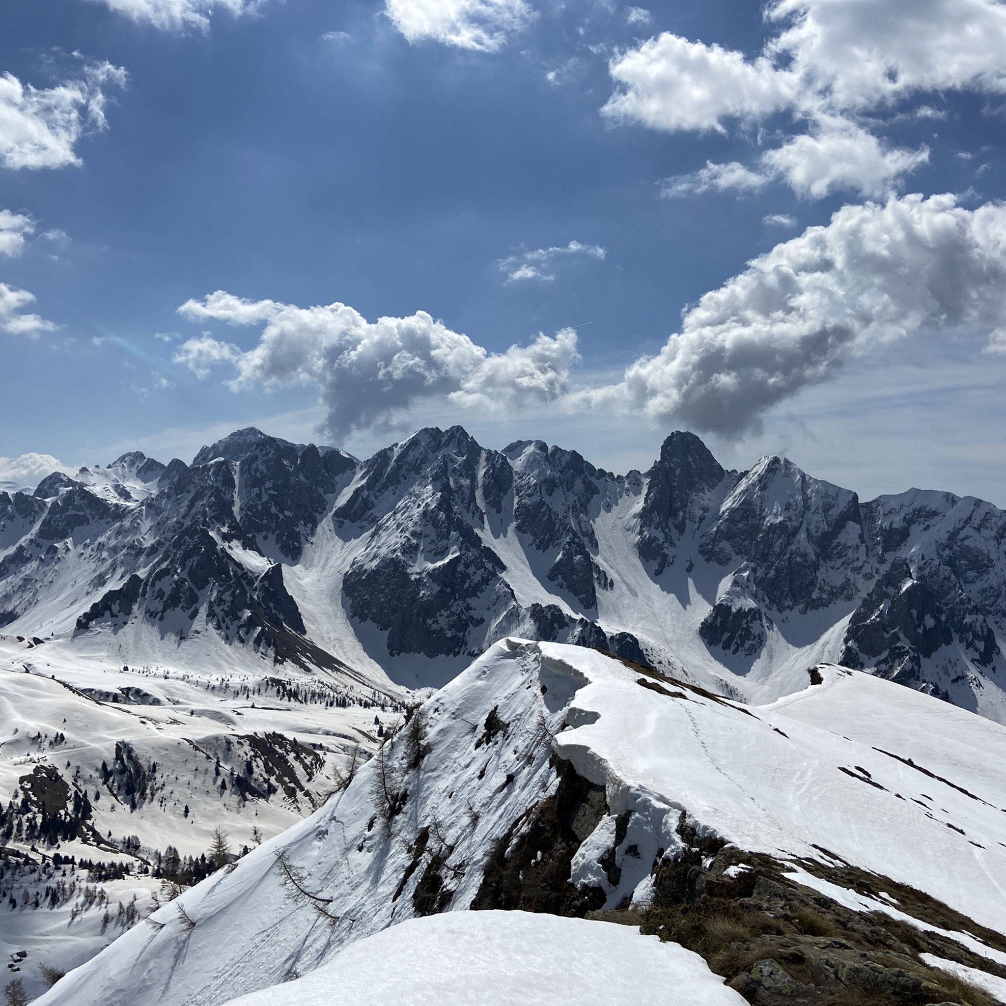
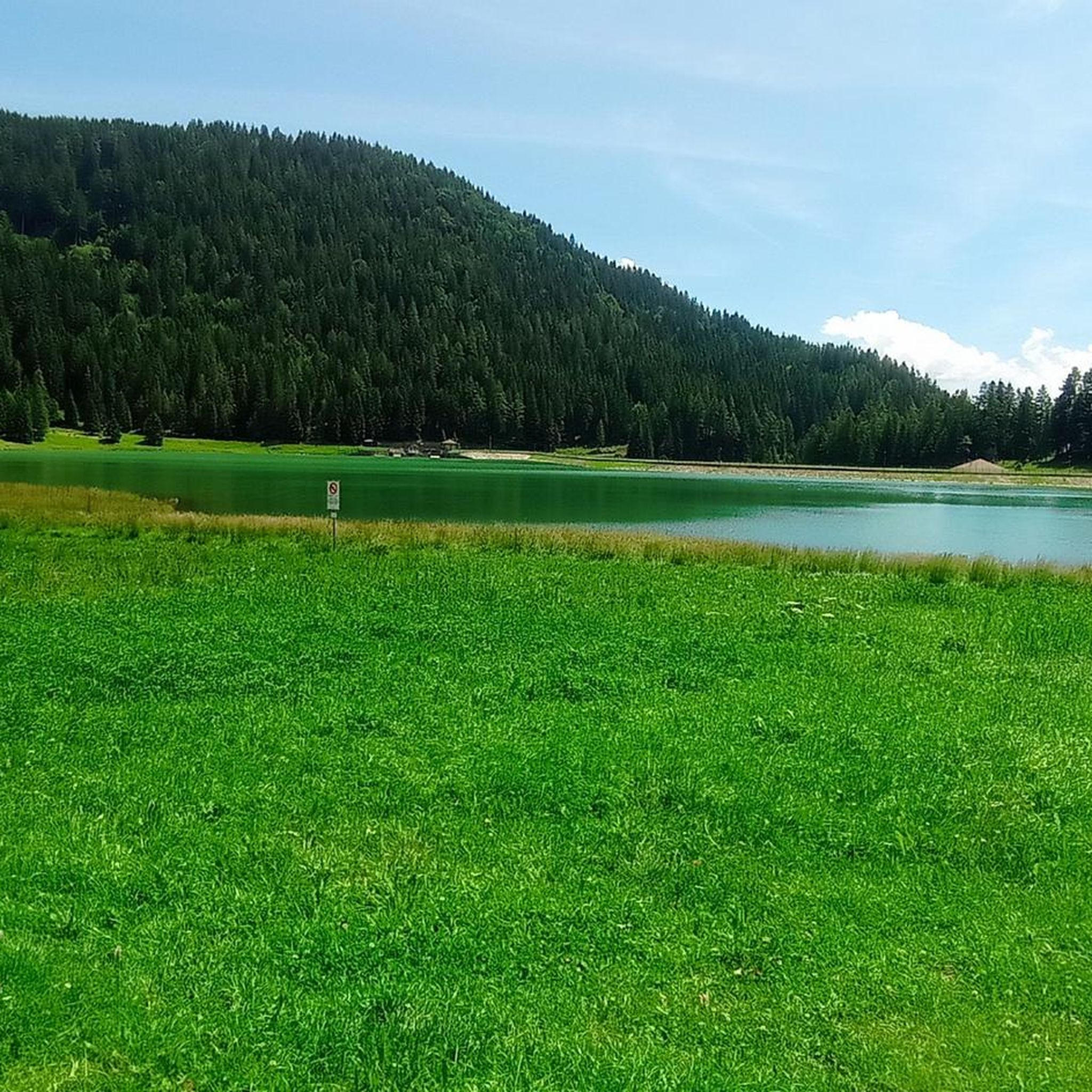
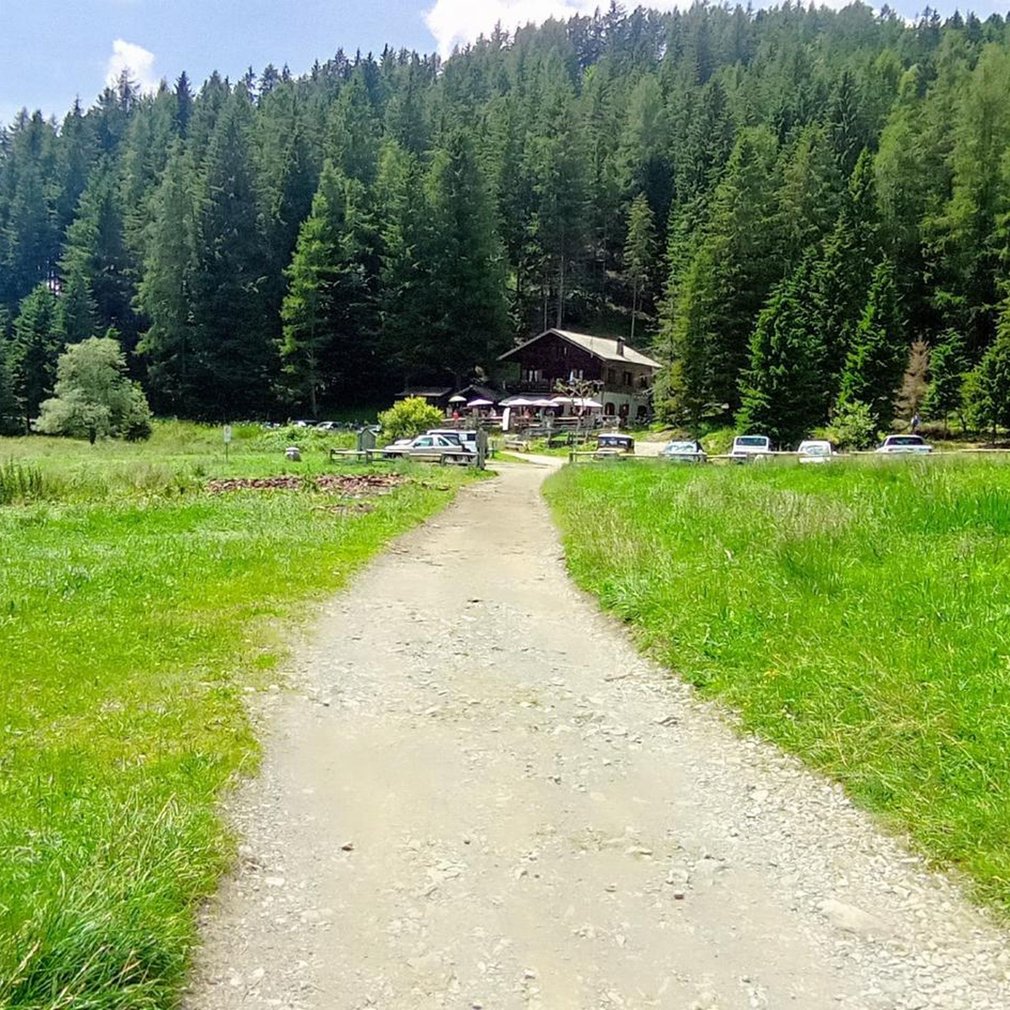

Tips from the Community

21-06-26 Borno Ski Arena : chairlift closed / refuge closed ...I do not agree with this choice even though work is planned for the renovation of the structures, in the official communications from the municipality it was clearly written that they would not affect the normal running of the services...
0
0

🏔️ Monte Altissimo — Identity and location Monte Altissimo is the highest peak of the short mountain range that separates Bassa Val Camonica and Valle di Scalve. It is known for two very different slopes: North slope (Borno): gentle, wooded, with ski slopes and mountain huts. South slope (Erbanno–Gorzone): steep, rocky, with significant elevation changes. This dual nature is also confirmed by the hiking itineraries documented online . 🚶♂️ The main documented itineraries Online sources show several routes, including: 1) From Croce di Salven – Path 6 (classic loop) Passes through Pozze di Val Sorda, Rifugio Lorenzini, Malga Guccione. A very popular loop itinerary, with a gentle and scenic ascent. Data confirmed by hikr.org (loop with ascent from Croce di Salven) . 2) From Borno – Via Mine e Segable A longer and scenic itinerary, with passages over woods, mountain huts, and ridges. Documented in detail on Wikiloc, with a complete description of path 112 → 151 → 155 . 3) From Erbanno – Path 155 Steep and challenging ascent, with sections on rocky outcrops. Direct connection to the final ridge of the Altissimo. 🏞️ Environment and notable points Sources confirm the places you have already visited: Pozze di Val Sorda: damp and bright clearings. Rifugio Colonnello Ferruccio Lorenzini: in the Pratolungo basin, at 1478 m. Malga Guccione: a passing point before the final ascent. Borno ski slopes: often used for descent on winter loops.
0
0
🏔️ Monte Altissimo (Val Camonica) — Identity and main characteristics Monte Altissimo is a mountain in the Bergamo Prealps, 1703 m high, located between the lower Val Camonica and the lower Val di Scalve. It is the highest peak in the mountain group that separates these two valleys and overlooks the Borno plateau. Two very different sides Southern side: steep, rocky, almost devoid of vegetation, with a difference in altitude of about 1500 m from the Oglio valley floor. Northern side: gentle slope towards Borno, covered with fir trees and dotted with mountain huts, chalets and ski slopes of the Borno Ski Area. 🚶♂️ Hiking — The main itineraries Monte Altissimo is very popular with hikers thanks to the good network of trails (difficulty E). Here are the best-known and documented routes. 1) From Erbanno – Trail 197 or 155 A steep and challenging itinerary, with a significant difference in altitude. Trail 197: Start: Erbanno (Darfo Boario Terme) Passes through: small church of San Valentino (690 m), Malga Mine, junction with trail 194 From the cross: spectacular view of the lower Val Camonica and Lake Iseo Summit reachable in 15 minutes from the final junction Trail 155 (more direct and strenuous): Difference in altitude: about 1460 m Steep sections, some chains on a slightly exposed traverse Remarkable panorama over the meadows of the “Segable” Arrival at the Monte Altissimo refuge and the ski lifts 2) From Gorzone – Trail 154 A wilder route on the south side, with a long and tough climb. 3) From Borno – North side (ski slope areas) A gentler and more panoramic itinerary, often chosen for loop tours that include refuges, mountain huts and small churches (as in your story). 🏞️ What makes Monte Altissimo special Sharp contrast between the two sides: one severe and rocky, the other gentle and wooded. Wide panoramas of the lower Val Camonica, Lake Iseo and Presolana. Network of mountain huts and chalets still active in summer. Presence of the Monte Altissimo refuge at the summit, also reached by ski lifts. Possibility of very varied loops, combining woods, slopes, ridges and small isolated churches.
0
0

Cycle/pedestrian bridge with upper arch.
0
0

Nice, historic, relaxing...a beautiful ride along the Oglio cycle path.
0
0

Stone bridge with nice views around. The river was brown due to heavy rain some hours earlier.
1
0

To reach Montecchio di Darfo, starting from Boario, you cross the so-called "Roman bridge." It is a scenic 24-meter, single-span bridge, built from blocks of granite and Simona stone in 1686, over the remains of an older bridge that connected the medieval castle on Monticolo to the opposite bank of the river. It has been recognized as a national monument.
0
0

A very pleasant climb from Val di Scalve to Borno. Beautiful and not particularly challenging. 😊
2
0
Frequently Asked Questions
How many touring cycling routes are available around Ossimo?
Ossimo offers a wide selection of touring cycling routes, with over 160 different options available. These routes cater to various preferences, from easy rides to challenging mountain passes.
What kind of terrain can I expect on touring cycling routes in Ossimo?
The terrain around Ossimo is highly diverse, ranging from the majestic Adamello mountain range with significant elevation changes to serene valleys and river paths, particularly in Val Camonica. You'll encounter a mix of challenging climbs and more gentle rides, often through mountainous environments and alongside rivers.
Are there any easy touring cycling routes suitable for beginners in Ossimo?
Yes, Ossimo offers easy touring cycling routes perfect for beginners or those seeking a more relaxed ride. One such option is the View of Losine – Cividate-Breno Cycle Tunnel loop from Cividate-Malegno, which features minimal elevation gain and is completed in about an hour.
Can I find challenging touring cycling routes with significant elevation gain?
Absolutely. Ossimo is known for its challenging routes, especially those venturing into the Adamello mountain range. For instance, the Cividate-Breno Cycle Tunnel – Passo Crocedomini loop from Cividate-Malegno involves over 2,000 meters of elevation gain, taking you through demanding mountain passes.
Are there any circular touring cycling routes around Ossimo?
Many of the touring cycling routes around Ossimo are designed as loops, allowing you to start and finish in the same location. Examples include the popular View of Losine – Edolo loop from Cividate-Malegno, offering extensive views across Val Camonica, and the Croce di Salven Pass – Monte Altissimo di Borno loop from Piancogno.
What natural features or landmarks can I see along the touring cycling routes?
Cycling around Ossimo allows you to explore a rich blend of natural beauty and historical sites. You can encounter stunning mountain passes like Vivione Pass or Presolana Pass. The region is also close to Val Camonica, a UNESCO World Heritage Site known for its prehistoric rock carvings, offering a unique cultural stop.
What is the best time of year for touring cycling in Ossimo?
The Lombardy region, including Ossimo, offers varied cycling experiences throughout the year. Spring and autumn generally provide pleasant temperatures for touring. Summer can be warm, especially in valleys, but higher mountain routes offer cooler conditions. Always check local weather forecasts, especially for mountain passes, as conditions can change rapidly.
How can I reach the starting points of touring cycling routes in Ossimo using public transport or by car?
Ossimo is situated within the Lombardy region, which has a developed transport network. While specific public transport details to every trailhead might vary, major towns in Val Camonica are accessible by train and bus. For car users, parking is generally available in or near the starting villages of the routes. It's advisable to check local parking regulations and public transport schedules for your specific starting point.
Are there places to stop for refreshments or accommodation near the cycling routes?
Yes, the region around Ossimo offers various options for refreshments and accommodation. You'll find charming villages with cafes and restaurants along many routes, especially in Val Camonica. For those looking to extend their stay, there are also huts and cabins, such as Campione Hut or San Fermo Hut, which can serve as excellent bases for multi-day tours.
What do other cyclists say about touring cycling in Ossimo?
The touring cycling routes around Ossimo are highly rated by the komoot community, with an average score of 4.3 stars from over 290 reviews. Cyclists often praise the diverse landscapes, from challenging mountain ascents to scenic valley rides, and the opportunity to explore the natural beauty of the Adamello mountain range and Val Camonica.
Are there any long-distance touring cycling routes accessible from Ossimo?
While specific long-distance routes directly from Ossimo aren't detailed, the region's extensive cycling infrastructure, including paths along the Oglio River and through Val Camonica, connects to broader Lombardy networks. This allows for the creation of longer touring adventures, potentially linking to iconic passes like Stelvio or Mortirolo for experienced cyclists. For more regional inspiration, you can explore cycling routes in Lombardy.
Are dogs allowed on touring cycling routes around Ossimo?
Generally, dogs are allowed on many outdoor trails in Italy, especially if kept on a leash. However, specific regulations can vary depending on the route, particularly within protected areas like Adamello Park. It's always best to check local signage or park rules for the specific route you plan to undertake with your dog.
Most popular routes around Ossimo
Most popular attractions around Ossimo

Get inspired with the komoot mobile app


Explore more
Browse the best Cycling routes in other regions.
