The best walks and hikes around Tiefenort
4.6
(6043)
20,321
hikers
52
hikes
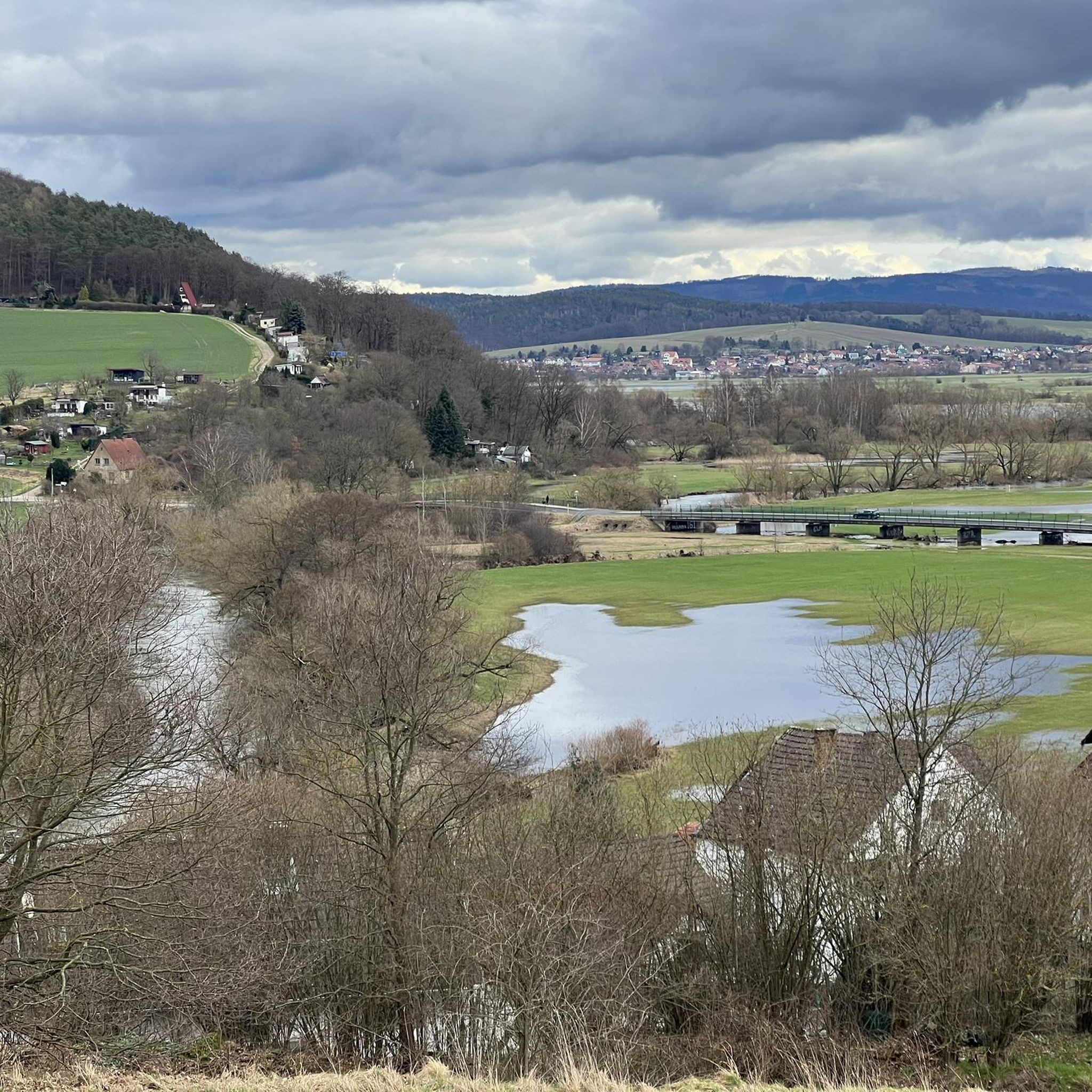
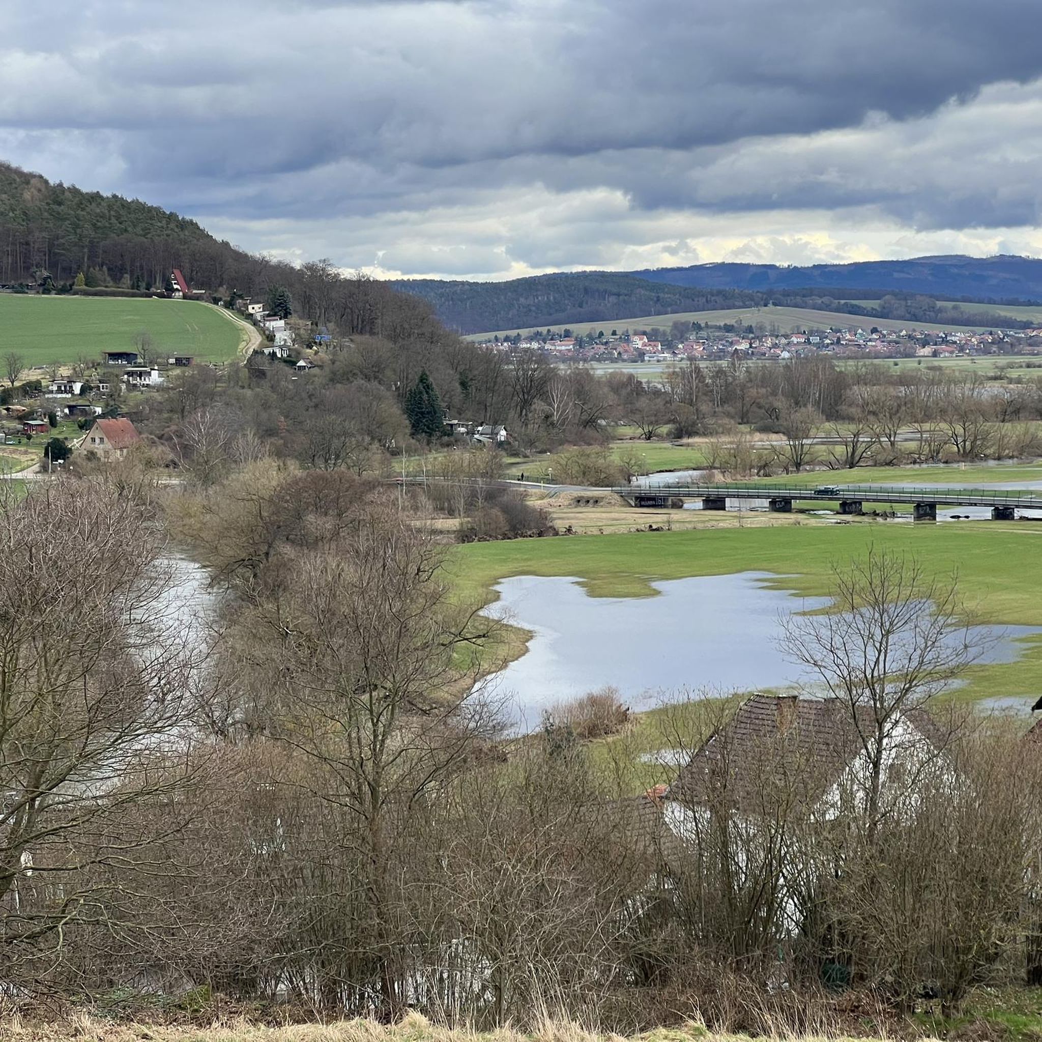
Hiking trails around Tiefenort are situated in the Werra Valley, nestled between the northern foothills of the Rhön mountains and the western part of the Thuringian Forest. The region features a diverse landscape with the Werra river, gentle hills, and dense forests. The Krayenberg, with its historic castle ruins, is a prominent feature, offering varied terrain for exploration.
Best hiking trails around Tiefenort
- The most popular hiking route is Steep Path to Krayenburg – Krayenburg Castle Ruins loop from Tiefenort…
Last updated: October 1, 2026
4.7
(6)
45
hikers
3.37km
01:04
140m
140m
Easy hike. Great for any fitness level. Easily-accessible paths. Suitable for all skill levels.
5.0
(5)
15
hikers
4.64km
01:14
50m
50m
Easy hike. Great for any fitness level. Easily-accessible paths. Suitable for all skill levels.

4.7
(6)
24
hikers
7.59km
01:59
50m
50m
Easy hike. Great for any fitness level. Easily-accessible paths. Suitable for all skill levels.
5.0
(6)
10
hikers
10.4km
02:53
180m
180m
Moderate hike. Good fitness required. Easily-accessible paths. Suitable for all skill levels.
5.0
(3)
13
hikers
9.05km
02:30
160m
160m
Moderate hike. Good fitness required. Easily-accessible paths. Suitable for all skill levels.
Get access to more routes and recommendations from other explorers.
Already have an account?
Our route recommendations are based on thousands of hikes, rides, and runs completed by other people on komoot.
Start today with a free account
Your next adventure awaits.
Tips from the Community

Actually well-maintained forest paths there. Path below the Hundkopf and the restaurant is muddy.
0
0

The highest point with beautiful views of the landscape.
0
0

The historic building from 1911 still supplies the community of Tiefenort with drinking water today.
1
0
The historic building, dating back to 1911, still supplies drinking water to the lower-lying community. Viewed from the side, the brick building, surrounded by greenery, resembles a hobbit hole.
1
0
Touringen stamping point 22 can be found in the covered beer garden.
0
0
The shelter offers hikers sufficient protection from bad weather on their way to the castle.
0
0

What does that tell us? Off to the Thuringian Forest!
0
0
Open on Sundays.
0
0
Frequently Asked Questions
How many hiking trails are available around Tiefenort?
Tiefenort offers a diverse network of over 50 hiking trails. These routes cater to various preferences, with 32 classified as easy and 22 as moderate, ensuring options for different fitness levels.
What kind of terrain can I expect on hikes near Tiefenort?
The terrain around Tiefenort is quite varied, reflecting its location in the Werra Valley between the Rhön mountains and the Thuringian Forest. You'll find scenic riverside paths along the Werra, gentle hills, and extensive woodlands. Routes around the Krayenberg, for instance, offer a mix of flat sections and some elevation gain, leading to historic sites like Krayenburg Castle.
Are there any circular hiking routes in Tiefenort?
Yes, many of the trails around Tiefenort are circular, offering convenient starting and ending points. For example, the Steep Path to Krayenburg – Krayenburg Castle Ruins loop from Tiefenort is an easy 6.7 km circular route, and the Path to Tiefenort – Forest Trail to Krayenburg loop from Tiefenort is a moderate 10.6 km loop through dense forests.
What are some notable natural features or landmarks to see while hiking?
The region is rich in natural beauty and historical sites. You can explore the historic Krayenburg Castle ruins, which are a popular hiking destination. The Werra river itself offers picturesque views. For specific natural attractions, consider visiting the Luisenthal Waterfall or the serene Bernshäuser Kutte lake. The area is also part of the UNESCO Global Geopark Inselsberg - Drei Gleichen, indicating interesting geological formations.
Are there any easy hikes suitable for beginners or families?
Absolutely. Tiefenort has 32 easy trails perfect for beginners or families. The Path to Tiefenort – Cow Trail at Krayenberg loop from Tiefenort is an easy 7.6 km path exploring the Krayenberg area with varied scenery. Another accessible option is the At Albertsgrund – Hautsee loop from Dönges, an easy 4.6 km route.
What do other hikers say about the trails in Tiefenort?
The hiking trails in Tiefenort are highly regarded by the komoot community, with an average score of 4.6 stars from over 1,200 reviews. Hikers often praise the varied terrain, the scenic beauty of the Werra Valley, and the extensive woodlands. Many appreciate the well-maintained paths and the clear signage.
Are there any hikes that lead to viewpoints or offer panoramic views?
Yes, hikes around the Krayenberg often provide excellent views of the surrounding Werra Valley and the distant Rhön and Thuringian Forest landscapes. The Krayenburg Castle ruins themselves offer a vantage point. The Rhön, known as the 'Land of Open Vistas,' is nearby, suggesting that many routes in the broader region will offer expansive views.
Can I find trails that pass by lakes or water features?
Yes, the region features several beautiful water bodies. The Werra river itself is a prominent feature, with scenic paths running alongside it. You can also find trails near lakes such as the Elisabethpark Pond or the Burgsee in Bad Salzungen. The Luisenthal Waterfall is another notable water feature accessible in the area.
Are there any moderate hikes for more experienced hikers?
For those seeking a bit more challenge, Tiefenort offers 22 moderate trails. The Path to Tiefenort – Forest Trail to Krayenburg loop from Tiefenort is a moderate 10.6 km route with some elevation gain. Another option is the Hundskopf (380 m) – Blaue Grotte Nature Monument loop from Hämbach, a 9 km moderate hike.
What is the best time of year to go hiking in Tiefenort?
Tiefenort offers enjoyable hiking experiences throughout much of the year. Spring brings blooming landscapes, while summer provides lush greenery. Autumn is particularly beautiful with vibrant fall foliage. Even in winter, the region can be appealing for hiking, though conditions may vary and some paths might be more challenging.
Are there any historical sites or cultural attractions along the hiking trails?
Yes, the most prominent historical site is the Krayenburg Castle, whose ruins are a popular destination and can be reached via several hiking paths, such as the Steep Path to Krayenburg – Krayenburg Castle Ruins loop from Tiefenort. The region's history is deeply intertwined with these landmarks, offering a blend of nature and culture.
Most popular routes around Tiefenort
Most popular attractions around Tiefenort

Get inspired with the komoot mobile app


Explore more
Browse the best Hikes in other regions.
