The best walks and hikes around Titz
4.5
(405)
2,167
hikers
107
hikes
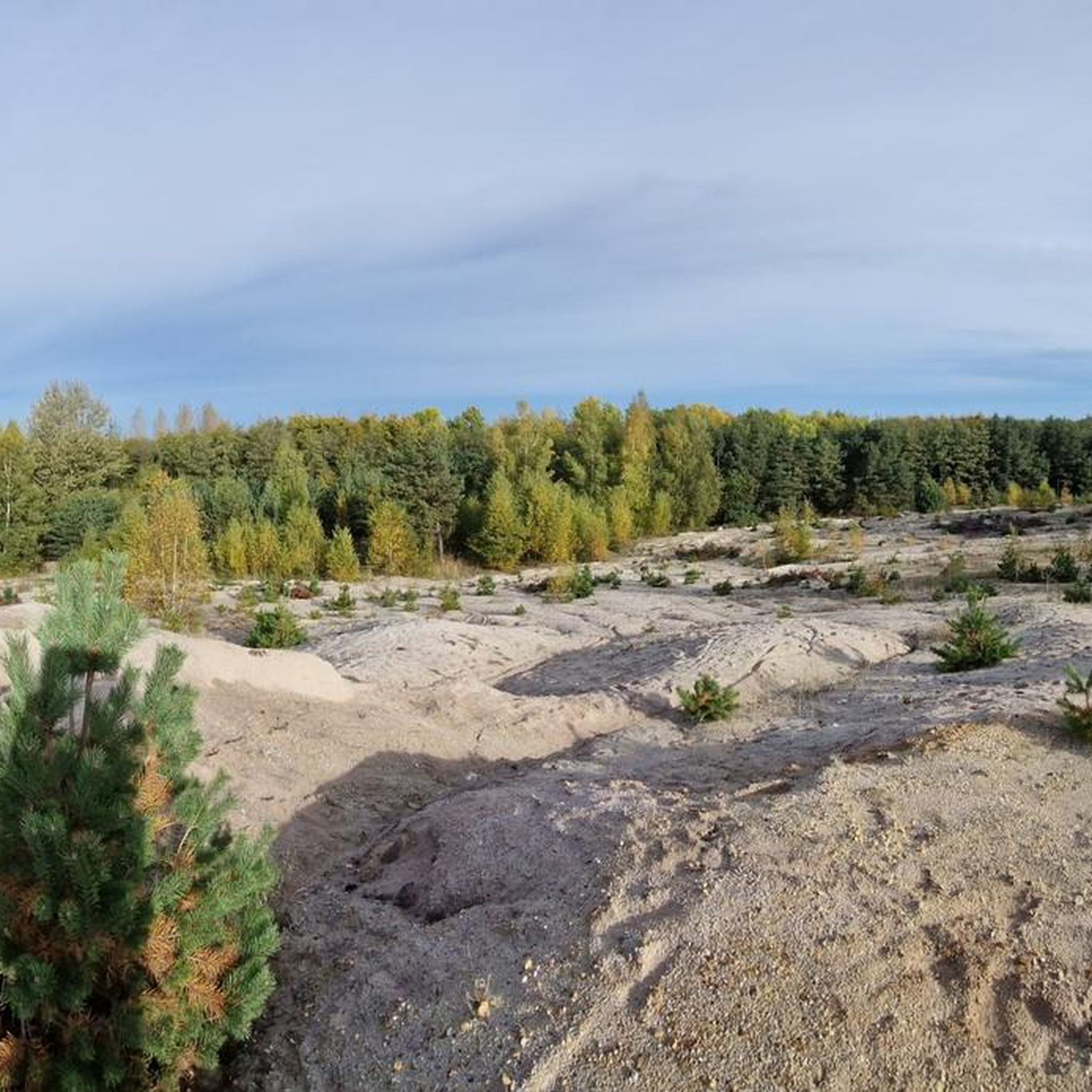
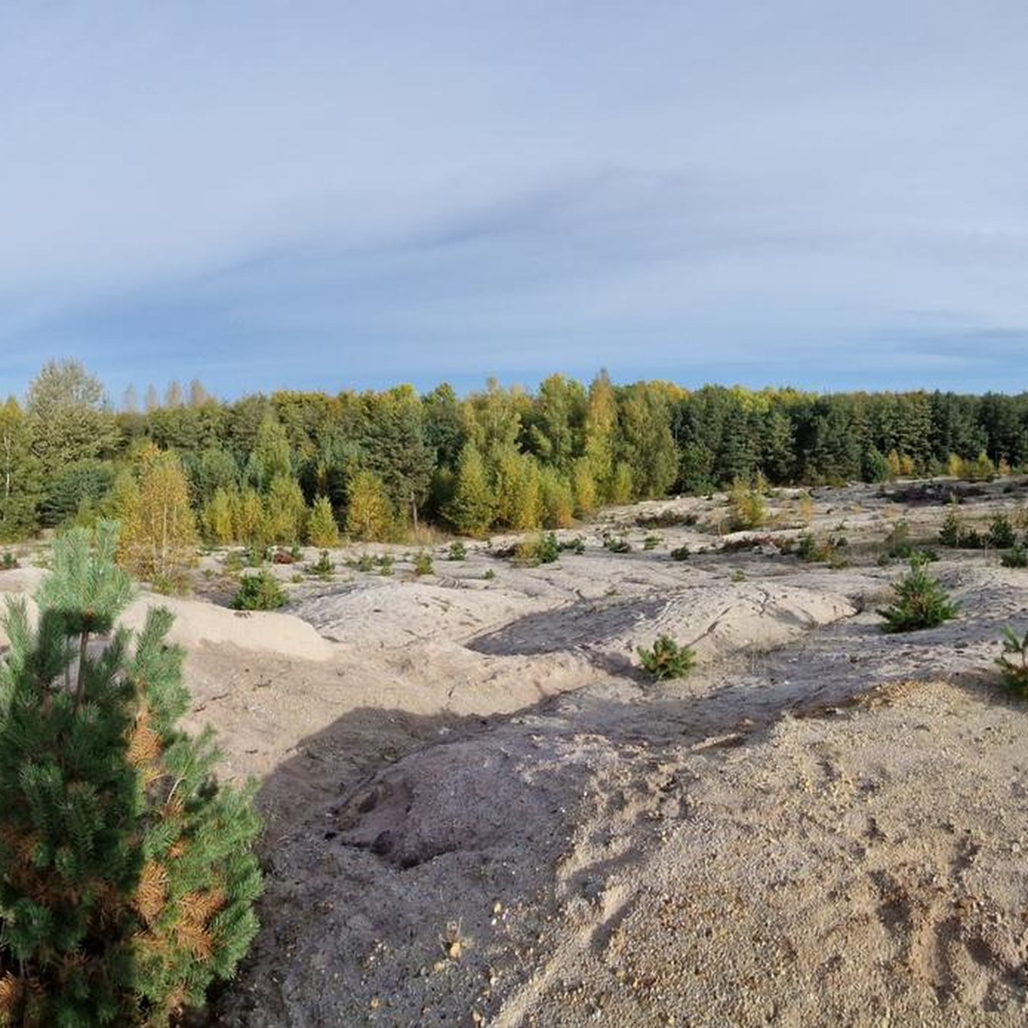
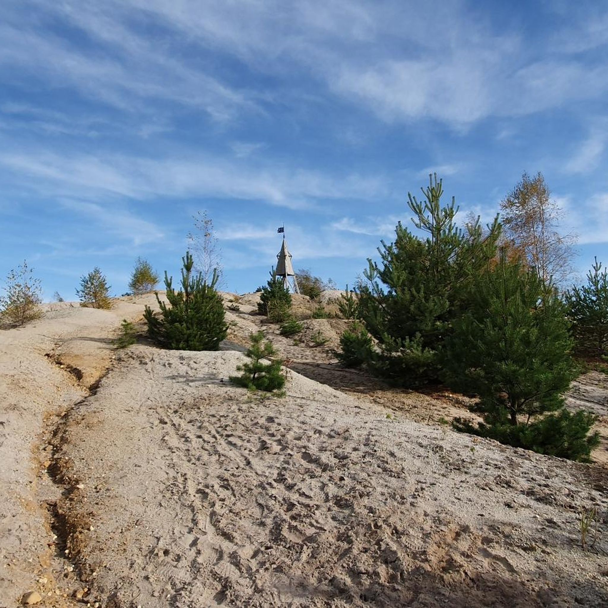
Hiking around Titz, a municipality in North Rhine-Westphalia, Germany, offers diverse landscapes for outdoor enthusiasts. The region features rolling farmland, extensive woodlands, and well-maintained paths. A prominent natural feature is the Sophienhöhe, a recultivated spoil heap that provides the highest elevation in the Jülicher Börde, offering expansive views and a network of trails. The area also includes picturesque castle grounds and sections of the historic Jakobsweg.
Best hiking trails around Titz
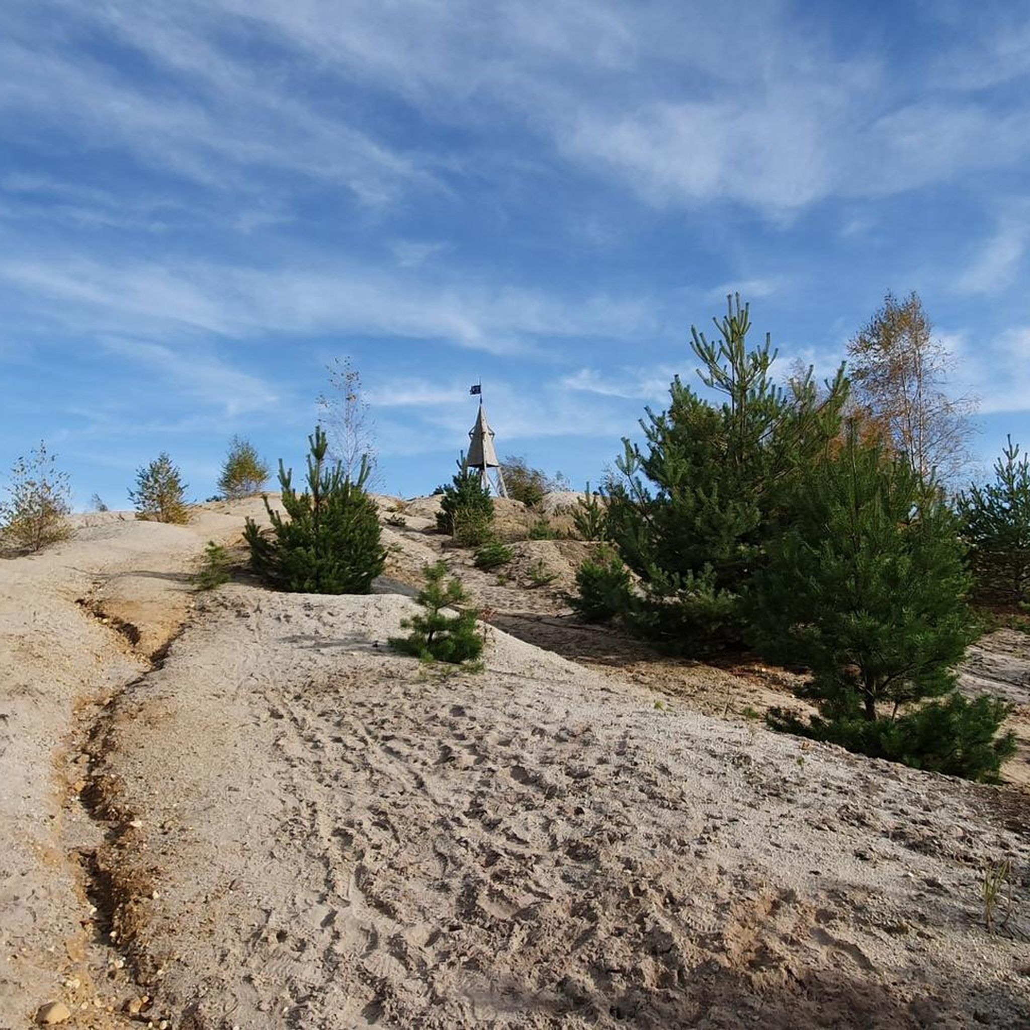
- The most popular hiking route is Roman Tower at Sophienhöhe – Roman Tower on Sophienhöhe loop from Bettenhoven, a 5.3 miles (8.6 km) trail that takes 2 hours 29 minutes to complete. This moderate route offers views from the Sophienhöhe.
- Another top favourite among local hikers is Findling Park Eifel – Sophienhöhe Tree Circle loop from Bettenhoven, a moderate 5.6 miles (9.1 km) path. This trail explores the Sophienhöhe, passing by the Tree Circle and offering varied terrain.
- Local hikers also love the Sophienhöhe Forest Trails – Hidden View of Eisvogelsee loop from Bettenhoven, a 3.0 miles (4.9 km) trail leading through woodlands and offering a hidden view, often completed in about 1 hour 25 minutes.
- Hiking around Titz is defined by rolling farmland, dense woodlands, and the unique landscape of the Sophienhöhe. The network of routes offers options for various ability levels, from easy strolls to more challenging treks.
- The routes in Titz are highly rated by the komoot community with an average score of 4.5 stars from over 350 reviews. Almost 2000 hikers have used komoot to explore Titz's varied terrain.
Last updated: July 5, 2026
4.4
(112)
447
hikers
Moderate hike. Good fitness required. Easily-accessible paths. Suitable for all skill levels.
4.6
(37)
146
hikers
9.09km
02:56
400m
400m
Moderate hike. Good fitness required. Easily-accessible paths. Suitable for all skill levels.

Sign up for free
4.4
(30)
96
hikers
Moderate hike. Good fitness required. Easily-accessible paths. Suitable for all skill levels.
4.9
(30)
126
hikers
7.06km
02:05
210m
210m
Moderate hike. Good fitness required. Easily-accessible paths. Suitable for all skill levels.
3.8
(10)
42
hikers
20.6km
06:01
530m
530m
Hard hike. Very good fitness required. Mostly accessible paths. Sure-footedness required.
Get access to more routes and recommendations from other explorers.
Sign up for free
Already have an account?
Our route recommendations are based on thousands of hikes, rides, and runs completed by other people on komoot.
Start today with a free account
Your next adventure awaits.
Login or Signup
Tips from the Community

👀 beautiful view is given 👀 absolutely recommendable
0
0


A sign at the site explains that the Celts considered trees important living beings and attributed special properties to them. The Tree of Life Circle takes up this concept and presents different tree species, each symbolically assigned to a specific time of year, similar to a Celtic tree calendar.
34
0

A lovely spot for a quiet break. There's a large bench, or you can simply sit on the boulders. It always looks a bit "spacey" there 👽
2
0

Rest after the climb.
1
0

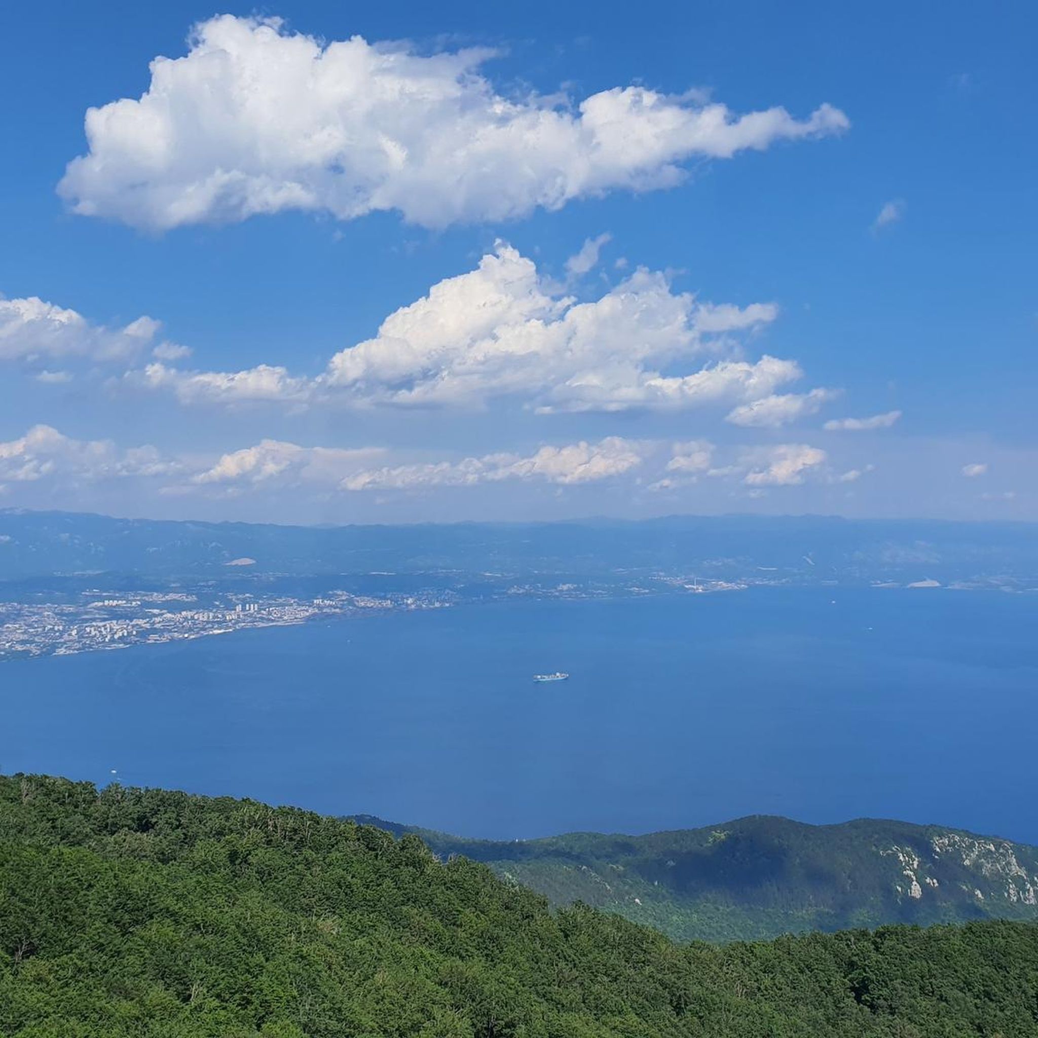
Bench overlooking the water.
0
0
Frequently Asked Questions
How many hiking trails are available around Titz?
Titz offers a wide range of hiking opportunities, with over 100 trails documented on komoot. These routes cater to various preferences, from easy strolls to more challenging treks.
What kind of terrain can I expect on hikes in Titz?
The hiking terrain in Titz is quite diverse. You'll find paths winding through rolling farmland, dense woodlands, and the unique recultivated landscape of the Sophienhöhe, which is the highest elevation in the Jülicher Börde. The paths are generally well-maintained, offering varied experiences and beautiful vistas.
Are there easy hiking options suitable for beginners in Titz?
Yes, Titz is very welcoming for beginners and those looking for less strenuous walks. There are 67 easy hiking routes available. An example is the Sophienhöhe Forest Trails – Hidden View of Eisvogelsee loop from Bettenhoven, which is a pleasant 3.0-mile (4.9 km) trail through woodlands.
What are some notable natural features or landmarks to see while hiking in Titz?
The most prominent natural feature is the Sophienhöhe, offering expansive views and points of interest like a wildlife enclosure, a mammoth forest, a summit cross, a weather radar, a stone compass, and the Celtic Tree Circle. You might also encounter the Kasterer Lake or the Höller Horn Observation Tower.
Are there any circular hiking routes in Titz?
Many of the trails in Titz are designed as circular routes, allowing you to start and end at the same point. For instance, the popular Roman Tower at Sophienhöhe – Roman Tower on Sophienhöhe loop from Bettenhoven is a moderate 5.3-mile (8.6 km) circular trail offering views from the Sophienhöhe.
What do other hikers enjoy most about hiking in Titz?
The hiking routes in Titz are highly rated by the komoot community, with an average score of 4.5 stars from over 350 reviews. Hikers often praise the well-maintained paths, the varied landscape including the unique Sophienhöhe, and the peaceful atmosphere of the rolling farmland and woodlands.
Are there any family-friendly hiking trails in Titz?
Yes, Titz offers several family-friendly options. Many of the easy trails are suitable for families. The diverse landscape of the Sophienhöhe, with its wildlife enclosure and unique features like the Celtic Tree Circle, can be particularly engaging for children.
Can I bring my dog on the hiking trails in Titz?
Generally, dogs are welcome on hiking trails in Titz, especially in the open countryside and woodlands. However, it's always advisable to keep your dog on a leash, especially near wildlife enclosures or in areas with livestock, and to respect local regulations.
What is the best time of year to go hiking in Titz?
Titz offers pleasant hiking experiences throughout much of the year. Spring brings blooming fields, while autumn showcases beautiful foliage in the woodlands. Summer is ideal for longer days, and even mild winter days can be enjoyable for a crisp walk, especially on the well-maintained paths of the Sophienhöhe.
Are there any longer or more challenging hikes available?
For those seeking a greater challenge, Titz does offer more demanding routes. One example is the Licher See – Findling Park Eifel loop from Rödingen, a difficult 12.8-mile (20.6 km) trail with significant elevation changes, providing a more strenuous experience.
Where can I find parking for hiking trails in Titz?
Parking is generally available at common starting points for trails, particularly around popular areas like the Sophienhöhe or near local villages. Specific parking information is often detailed on individual route pages on komoot.
Are there any historical sites or castles near the hiking routes?
Yes, beyond the trails, you can explore Paffendorf Castle, a Renaissance-style moated castle with extensive grounds and a picturesque park. Additionally, a section of the historic Jakobsweg (St. James's Way) passes through Titz, offering a glimpse into a longer walking tradition.
Most popular routes around Titz
Most popular attractions around Titz

Get inspired with the komoot mobile app


Explore more
Browse the best Hikes in other regions.
