The best walks and hikes around Orino
4.2
(931)
4,303
hikers
15
hikes
Hiking trails around Orino are situated in the Varese province of Lombardy, Italy, offering a mix of pre-alpine terrain and historical landmarks. The region is characterized by varied elevations, including hills like Monte Orino, and features dense woodlands and open areas. Hikers can expect paths that lead to panoramic viewpoints and historical sites such as Forte di Orino.
Best hiking trails around Orino
- The most popular hiking route is From Orino to the fort and the Pian delle Noci refuge…
Last updated: September 26, 2026
4.1
(30)
63
hikers
8.40km
03:40
650m
650m
Hard hike. Good fitness required. Sure-footedness, sturdy shoes and alpine experience required.
4.1
(64)
215
hikers
7.58km
03:19
660m
660m
Moderate hike. Good fitness required. Mostly accessible paths. Sure-footedness required.

4.3
(24)
79
hikers
9.34km
03:45
630m
630m
Moderate hike. Good fitness required. Mostly accessible paths. Sure-footedness required.
4.9
(7)
11
hikers
16.9km
05:08
550m
560m
Hard hike. Very good fitness required. Easily-accessible paths. Suitable for all skill levels.
4.8
(19)
61
hikers
12.5km
04:38
740m
740m
Moderate hike. Good fitness required. Mostly accessible paths. Sure-footedness required.
Get access to more routes and recommendations from other explorers.
Already have an account?
Our route recommendations are based on thousands of hikes, rides, and runs completed by other people on komoot.
Start today with a free account
Your next adventure awaits.

Tips from the Community

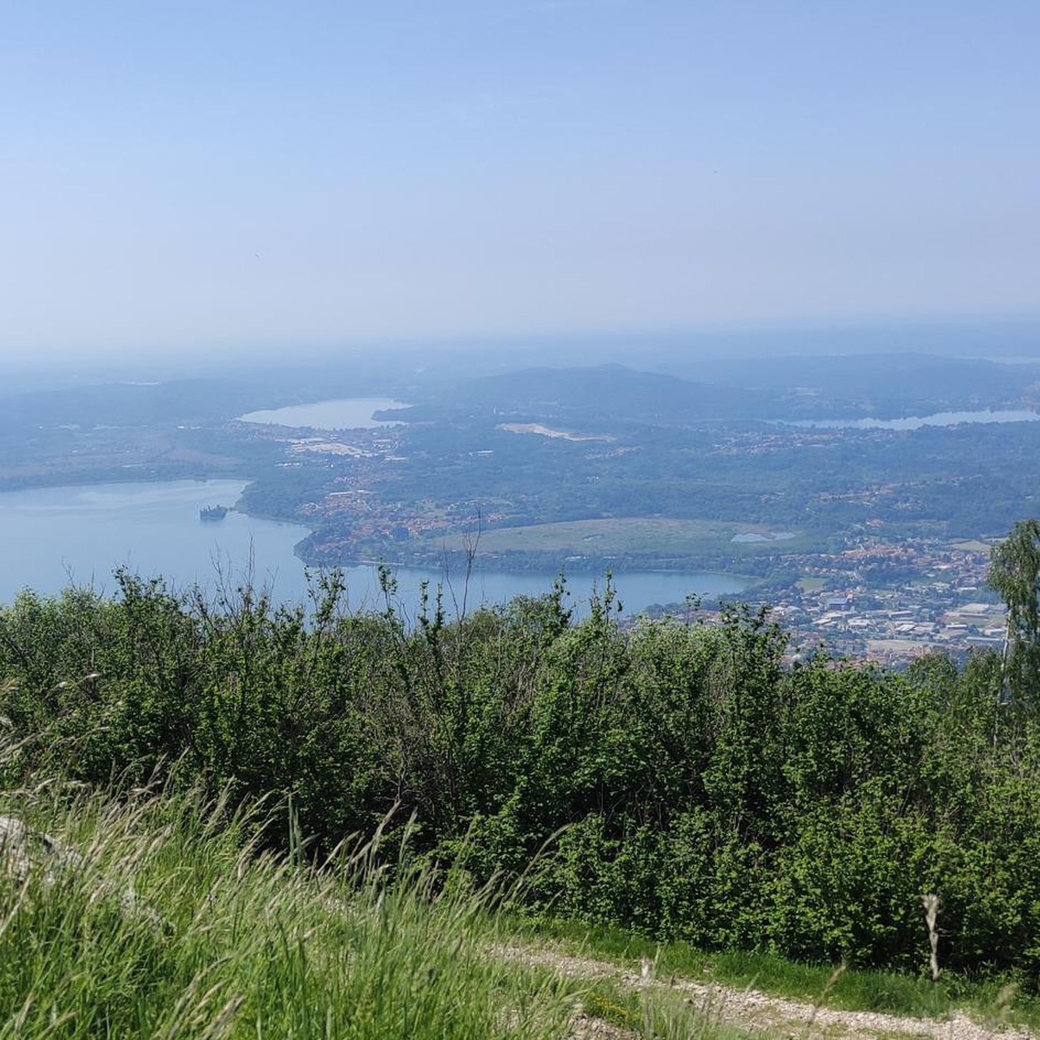
Following path 10 and signs for Pian delle Noci, you reach the refuge. It's a challenging and bumpy climb. Once at the refuge, you descend towards the Gesiola spring and return to path 10 towards the Orino fortress.
1
0

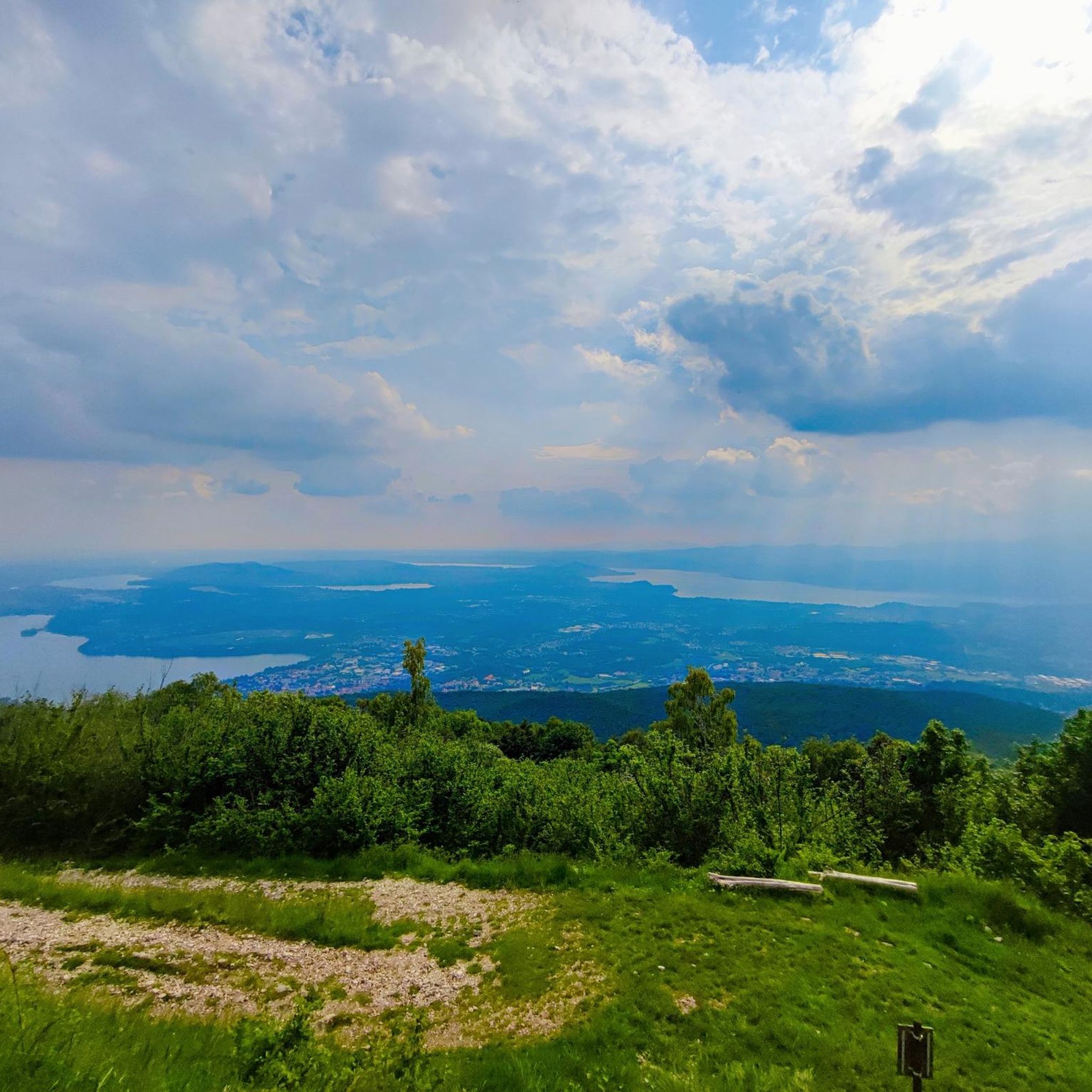
Lots of insects, poorly maintained trails Beautiful place
1
0


Signpost from the truth
0
0


The Beautiful Flowers 🌸 of Nature 🌳 Montana⛰️
0
0
the Flowers 🌸 in Nature 🌳 Montana⛰
0
0
Frequently Asked Questions
What kind of terrain can I expect when hiking around Orino?
Hiking trails around Orino are set in the Varese province of Lombardy, Italy, featuring a mix of pre-alpine terrain. You'll encounter varied elevations, including hills like Monte Orino, dense woodlands, and open areas. Many paths lead to panoramic viewpoints and historical sites.
How many hiking trails are available in Orino?
There are over 15 hiking routes around Orino, catering to various skill levels. This includes 4 easy, 8 moderate, and 4 difficult trails, ensuring options for every hiker.
Are there any circular hiking routes in Orino?
Yes, Orino offers several circular routes. A popular option is the From Orino to the fort and the Pian delle Noci refuge – loop tour, which is a difficult 5.2-mile trail. Another is the moderate Valcuvian Ring Trail, covering 5.8 miles with diverse views.
What historical landmarks can I explore on a hike in Orino?
A prominent historical landmark is Forte di Orino, a fort often reached via trails like the difficult From Orino to the fort and the Pian delle Noci refuge – loop tour. The region's pre-alpine setting also offers views of other historical sites.
What do other hikers say about the trails in Orino?
The routes in Orino are highly rated by the komoot community, with an average score of 4.2 stars from nearly 800 reviews. Over 3,800 hikers have used komoot to explore the varied terrain, often praising the diverse landscapes and well-maintained paths.
Are there any easy hikes suitable for beginners in Orino?
Yes, Orino has 4 easy trails perfect for beginners or those looking for a relaxed walk. While specific easy routes aren't detailed here, these trails offer a gentle introduction to the area's natural beauty.
What are some notable natural features or viewpoints around Orino?
Beyond the trails, you can find stunning natural features and viewpoints. Consider visiting Lake Varese or enjoying the panoramic vistas from View from Sasso del Ferro. The region also features several mountain passes like Cuvignone Pass.
Can I find places to eat or drink near the hiking trails in Orino?
While specific cafes or pubs aren't listed for Orino, the From Orino to the fort and the Pian delle Noci refuge – loop tour passes by the Pian delle Noci refuge, which often provides refreshment options. For broader choices, nearby towns in the Varese province would offer various establishments.
Are there any longer, more challenging hikes for experienced trekkers?
Absolutely. For experienced trekkers, the difficult From Orino to the fort and the Pian delle Noci refuge – loop tour is a great option. Another challenging route is the Anulare Valcuviano Trail: Orino to Brinzio, which is 10.5 miles long and takes over 5 hours to complete.
What other attractions are there to see around Orino besides hiking?
Beyond hiking, the area offers several attractions. You can visit the Sacro Monte of Varese and the Sanctuary of Santa Maria del Monte, a UNESCO World Heritage site. For outdoor recreation, explore the Lake Varese Cycle Path or enjoy a picnic at the Lakeside picnic area on Lake Varese.
Is there a trail that connects different parts of the region?
Yes, the Varesina Greenway: Stage 3 is a moderate 4.7-mile path that offers a scenic journey through the local landscape, connecting various points and providing a broader exploration of the area.
Most popular attractions around Orino

Get inspired with the komoot mobile app


Explore more
Browse the best Hikes in other regions.
