The 20 Most Amazing Peaks around Olginate
Best mountain peaks around Olginate offer access to the Lombard Prealps, providing diverse hiking routes around Olginate. Situated at the southern edge of this mountainous terrain, Olginate lies near Lake Olginate and the Adda River valley. The region features elevations ranging from around 200 meters to over 800 meters, with Monte Regina being the highest point within the municipal territory. This area provides opportunities to explore the Prealpine landscape and discover various viewpoints Olginate area.
Best mountain peaks around Olginate
…Last updated: July 6, 2026
Luigi Azzoni Hut (Monte Resegone)
Highlight • Mountain Hut
Translated by Google •
Tip by

San Pietro al Monte Abbey
Highlight • Religious Site
Translated by Google •
Tip by

Sign up now to discover places like this
Get recommendations on the best single tracks, peaks, & plenty of other exciting outdoor places.
Sign up for free
Summit cross of Monte Cornizzolo
Highlight • Summit
Translated by Google •
Tip by

Monte Barro Summit View
Highlight • Summit
Translated by Google •
Tip by
Summit of Resegone
Highlight • Summit
Translated by Google •
Tip by

Sign up for free to discover even more peaks around Olginate.
Sign up for free
Already have an account?
Start today with a free account
Your next adventure awaits.
Login or Signup
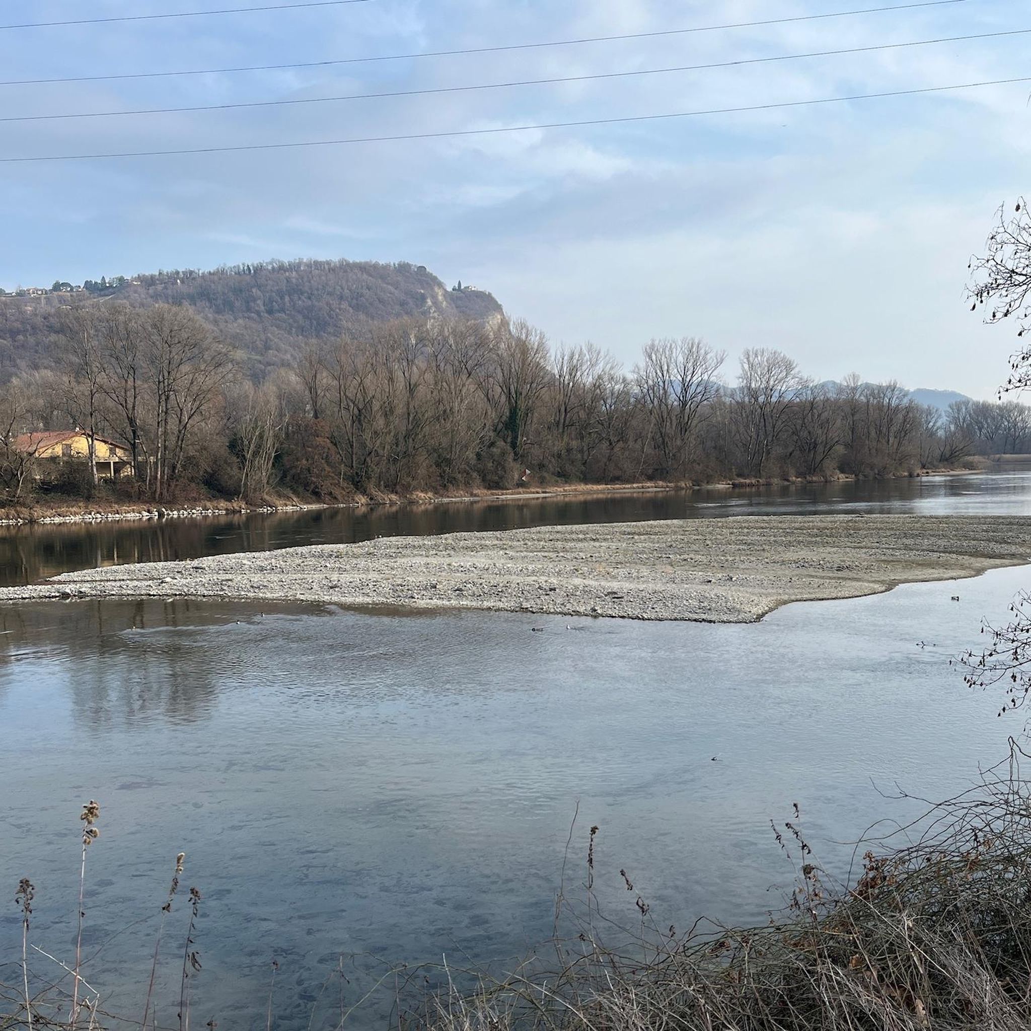
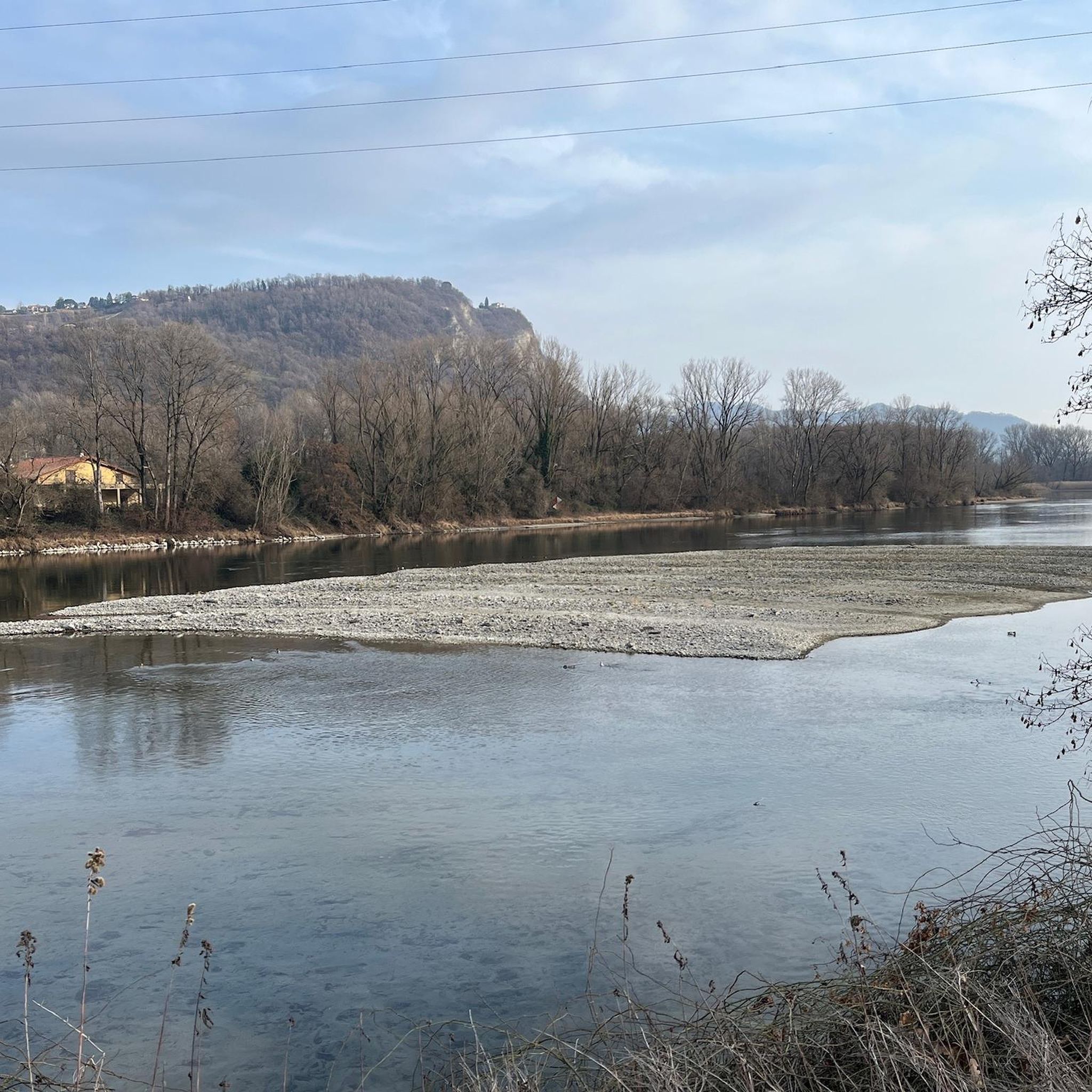
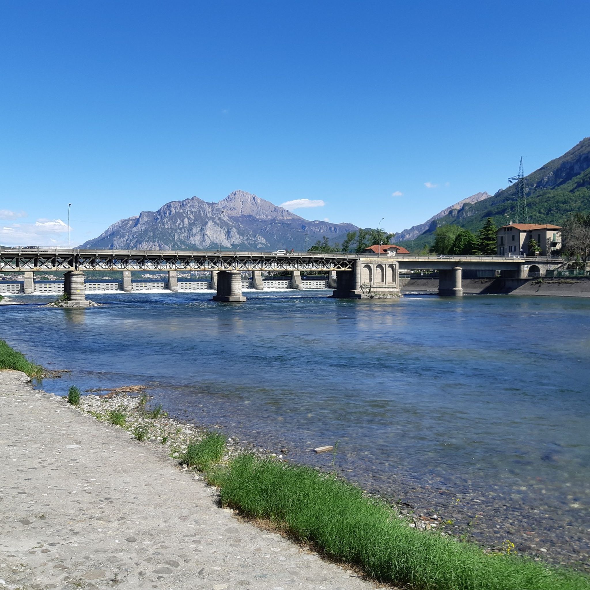
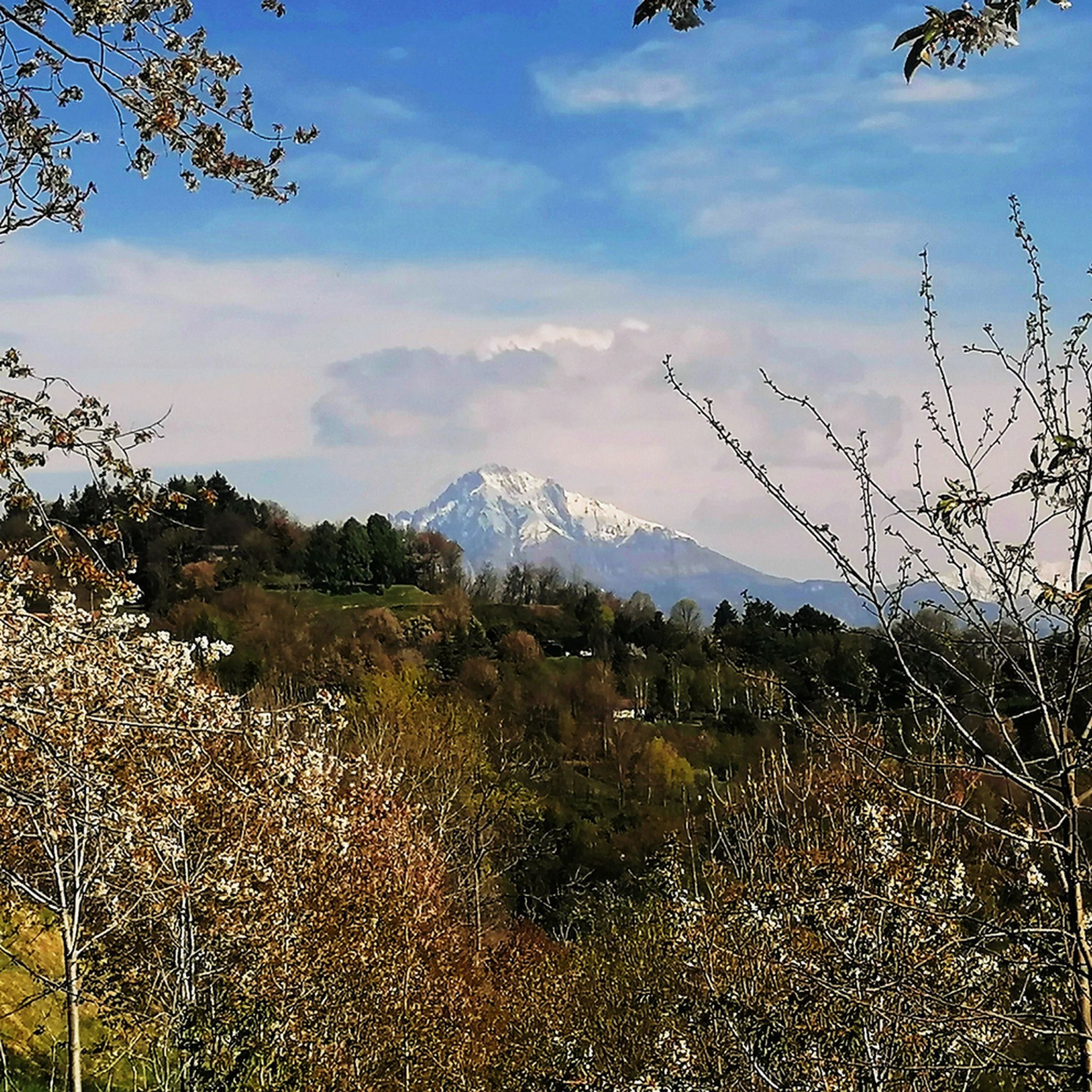


Tips from the Community

Completely hikeable peak from any path you take to reach the top, beautiful 360° panorama, highly recommended for those who want to start going to the mountains.
2
0

We also went to Corno Birone and went down another side passing by Ceppo di Forcola. Technical descent in a wild environment. Nice circular tour
0
0

Often strong wind at the cross.
0
0

The Rifugio Luigi Azzoni, located on the summit of Resegone, is a point of reference for hikers in the area. The panoramic view from its position is unparalleled, ranging from the Orobie Prealps to the plain. Open all year on weekends and every day in summer, it offers food and overnight accommodation.
1
1

done on 21 Aug 24 I started the route in the afternoon around 2:30 pm with the temperature 30 degrees on the way up and all in the shade so doable even in the heat, the summit is all exposed to the sun but in the afternoon you feel it little, the descent is also mostly shaded but challenging I suffered a lot :) but with attention you can do everything. It took me more or less 5 hours with the necessary stops. Stunning views teekking suitable as a sport 2000 calories burned
0
1

Well the top of Cornizzolo, what else can I add
0
1

from Monte Barro you can enjoy a wonderful view of the surrounding lakes
0
1
One of the classic mountains of Como, it offers an excellent view of several lakes, that of Como but on the side of Lecco, Pusiano, Annone and Garlate.
2
0
Frequently Asked Questions
What are some of the most notable mountain peaks and viewpoints around Olginate?
The region offers diverse peaks and stunning viewpoints. One highly appreciated spot is the Monte Barro Summit View, which provides wonderful panoramas of the surrounding lakes. Another significant peak is Monte Regina, the highest point within Olginate's municipal territory, offering broad views of Lake Olginate and the Adda River valley.
Are there any historical or cultural sites located on the mountain peaks near Olginate?
Yes, the San Pietro al Monte Abbey is a prominent historical and religious site. This Romanesque architectural complex, located in the Oro valley, offers rich artistic content and also serves as a viewpoint. It consists of a basilica, an oratory, and ruins of a monastery.
What kind of hiking trails can I find around Olginate's mountain peaks?
You'll find a variety of hiking trails, from moderate to challenging. For instance, routes like "Olginate (200 m) - M. Mario (651 m) - Consonno (628 m)" offer a moderately difficult experience. More challenging options include routes leading to the Summit of Resegone. You can explore many more options in the Mountain Hikes around Olginate guide.
What are the difficulty levels of hiking trails in the Olginate area?
The difficulty varies. Many trails in the Lombard Prealps surrounding Olginate are considered moderate, such as the "Anello Consonno-San Genesio-Crocione" which is about 14.3 km long with a 636-meter elevation gain. More challenging routes exist, especially for reaching higher summits like Resegone, which can involve significant elevation gains and longer distances.
Are there any facilities or places to rest on the mountain trails?
Yes, for longer hikes, the Luigi Azzoni Hut (Monte Resegone) is a key point of reference. Located on the summit of Resegone, it offers food and overnight accommodation, providing a welcome break for hikers. The San Genesio hermitage, along the "Anello Consonno-San Genesio-Crocione" route, also offers a scenic spot to rest and eat.
What outdoor activities, besides hiking, can I do near the mountain peaks of Olginate?
Beyond hiking, the area around Olginate offers opportunities for running and gravel biking. You can find various routes, such as the "Around Lake Olginate – loop tour" for running, or longer gravel biking routes like "View of the Adda River – View of the Adda River loop from Sala Al Barro-Galbiate." Discover more in the Running Trails around Olginate and Gravel biking around Olginate guides.
What do visitors appreciate most about the mountain peaks and trails in this region?
Visitors frequently praise the panoramic views, especially from summits like Monte Cornizzolo, which offers excellent vistas of multiple lakes including Como, Pusiano, Annone, and Garlate. The historical significance of sites like San Pietro al Monte Abbey and the variety of well-marked trails suitable for different skill levels are also highly valued.
What is the best time of year to visit the mountain peaks around Olginate?
The Lombard Prealps generally offer pleasant hiking conditions from spring through autumn. While specific details for Olginate are not provided, these seasons typically provide milder weather and clear views. Some huts, like the Luigi Azzoni Hut, are open all year on weekends and every day in summer, suggesting these are popular times for visitors.
Are there any family-friendly mountain walks or easy routes near Olginate?
While many routes offer moderate challenges, some sections or shorter loops can be suitable for families. The region's hilly terrain provides opportunities for less strenuous walks, especially around the lower elevations and lake areas. For example, the "Anello Consonno-San Genesio-Crocione" is described as a classic for hikers in the area and can be reached by beginners with good shoes and poles.
What kind of natural features can I expect to see while exploring the peaks near Olginate?
You can expect to see diverse Prealpine landscapes, including lush valleys, forests, and rocky outcrops. The region is characterized by its proximity to Lake Olginate and the Adda River valley, offering scenic water views alongside mountainous terrain. From higher points, you'll often get expansive views of multiple lakes and the broader Lombard plain.
How long do typical hikes to the peaks near Olginate take?
Hike durations vary significantly based on the route and your pace. For example, the moderately difficult route from Olginate to M. Mario and Consonno is approximately 11.5 km and takes about 3 hours and 45 minutes. More challenging ascents to summits like Resegone can take several hours, often requiring a full day or even an overnight stay at a hut.
Most popular routes around Olginate
Most popular attractions around Olginate

Get inspired with the komoot mobile app


Explore more
See even more amazing summits around Olginate with these guides:
