The best running trails around Introbio
4.3
(7)
859
runners
27
runs
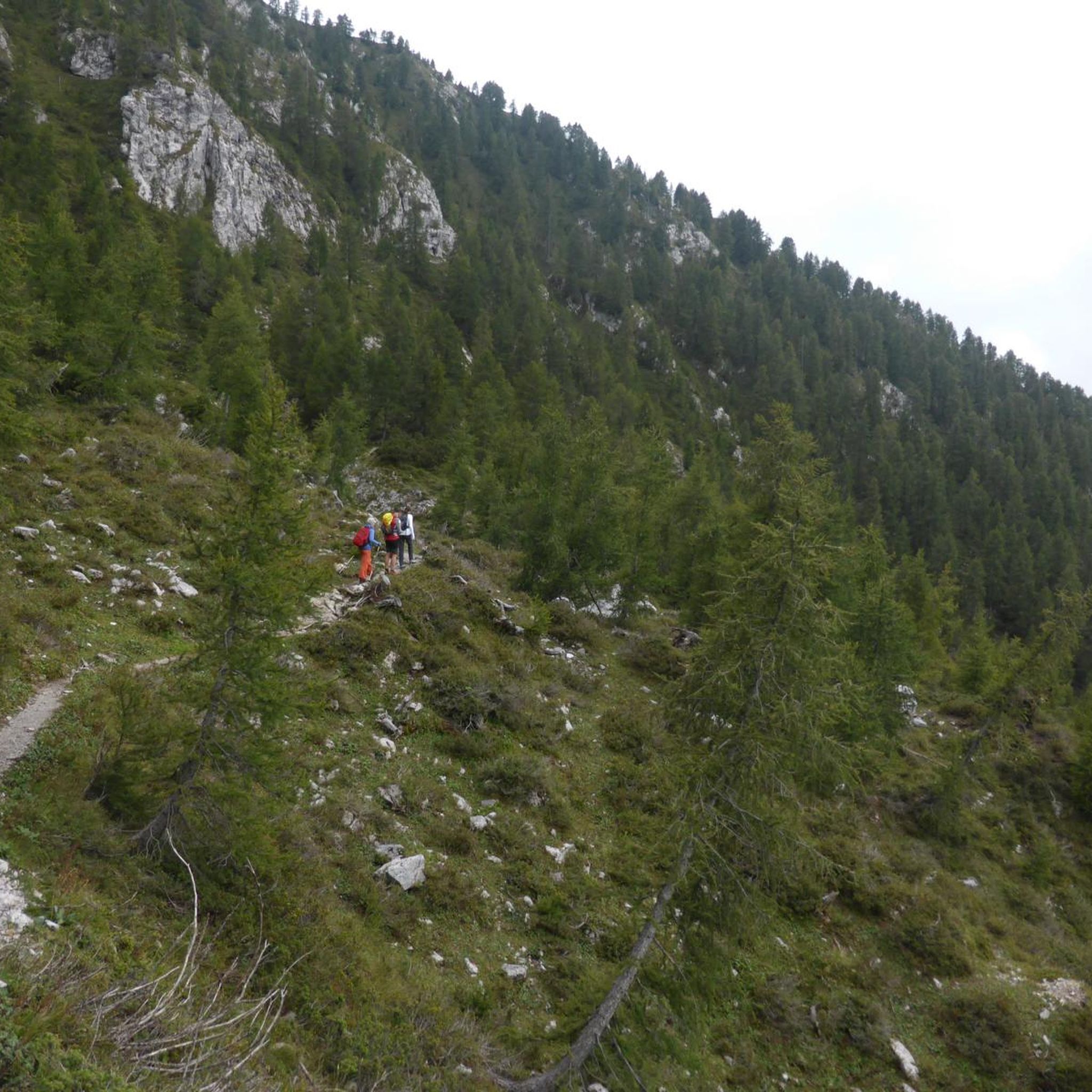
Jogging around Introbio offers diverse terrain within the Valsassina region of Lombardy, Italy. The area is characterized by the dramatic Grigne Mountains, the serene Val Biandino, and the picturesque Pioverna River, providing a variety of natural features for runners. Expansive meadows like those at Pialeral offer open spaces, while numerous trails wind through valleys and towards mountain huts. This landscape provides varied elevation changes and scenic backdrops for running activities.
Best jogging routes around Introbio
- The most popular jogging route…
Last updated: September 30, 2026
10.9km
02:25
960m
950m
Hard run. Very good fitness required. Sure-footedness, sturdy shoes and alpine experience required.
177
runners
14.4km
02:23
900m
900m
Hard run. Very good fitness required. Sure-footedness, sturdy shoes and alpine experience required.

5.0
(1)
135
runners
10.6km
01:08
140m
140m
Moderate run. Good fitness required. Mostly paved surfaces. Suitable for all skill levels.
5.0
(1)
136
runners
20.9km
02:59
1,170m
1,170m
Hard run. Very good fitness required. Sure-footedness, sturdy shoes and alpine experience required.
68
runners
Moderate run. Good fitness required. Mostly paved surfaces. Suitable for all skill levels.
Get access to more routes and recommendations from other explorers.
Already have an account?
Our route recommendations are based on thousands of hikes, rides, and runs completed by other people on komoot.
Start today with a free account
Your next adventure awaits.


Tips from the Community

Drinking water and the opportunity to rest
0
0

An important reference point for climbing Pizzo dei Tre Signori, arriving from Val Biandino or Piani di Bobbio/Foppabona. Friendly and welcoming staff. Please note: payment by cash or Satispay only.
0
0

beautiful refuge with breathtaking view
0
1

Good stopping point before tackling the climb towards the Grassi refuge if you are starting from Introbbio
0
0
A true Refuge with a capital R, the managers were very friendly and the food was excellent. The snowshoe hike organized early in the morning was beautiful, around the refuge to see the sunrise
1
1

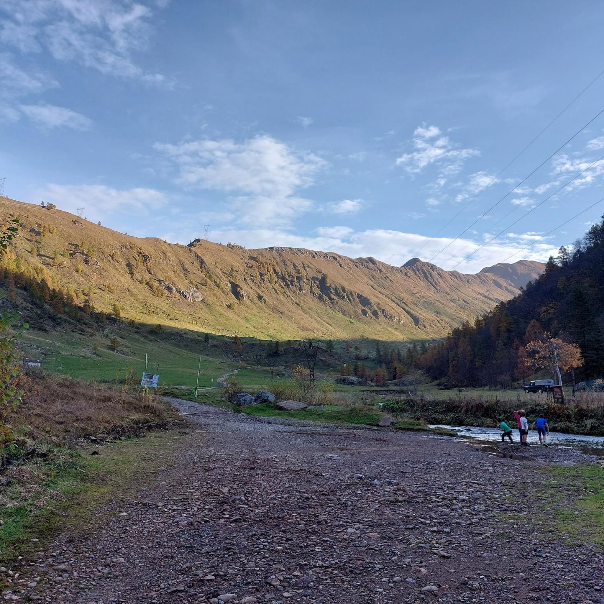
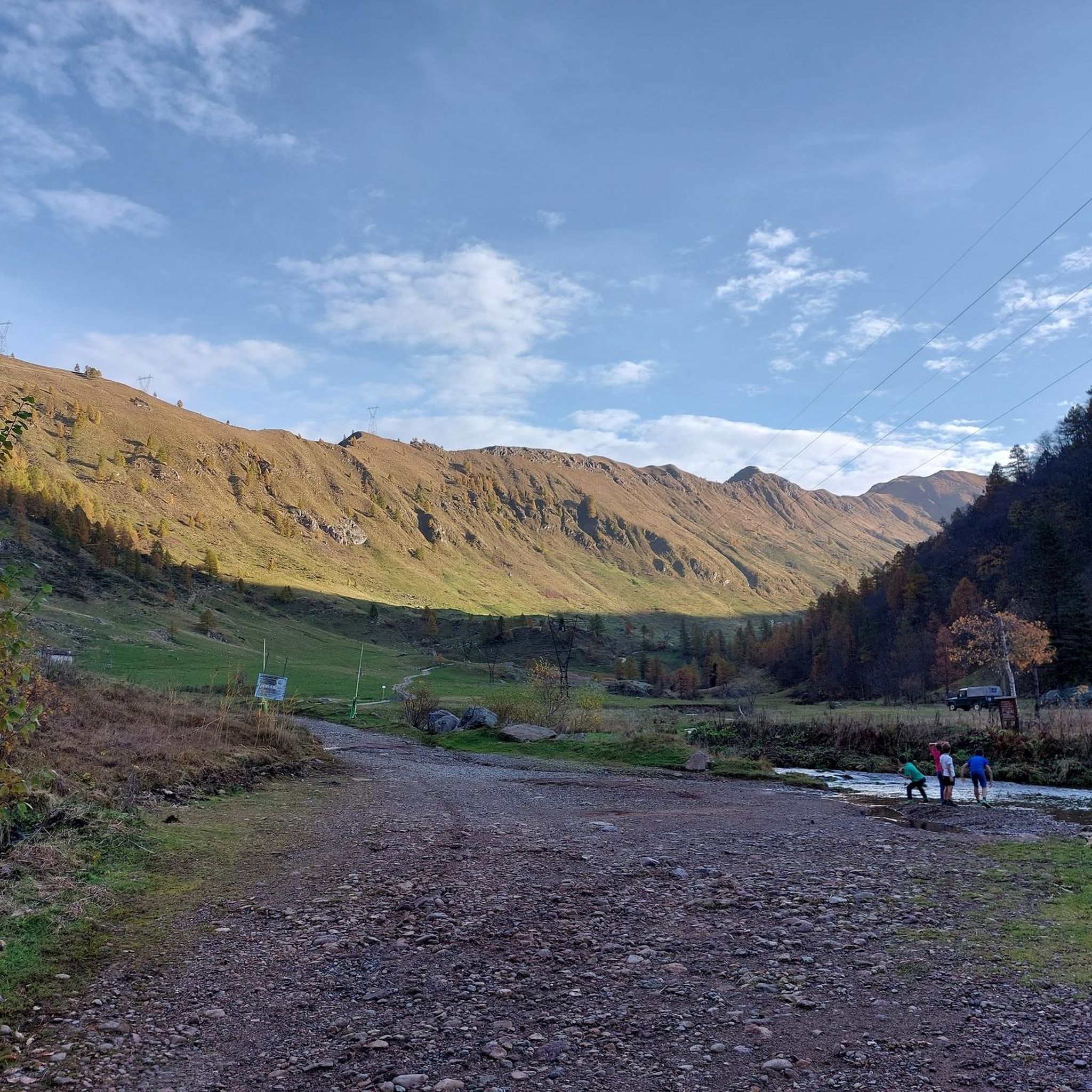
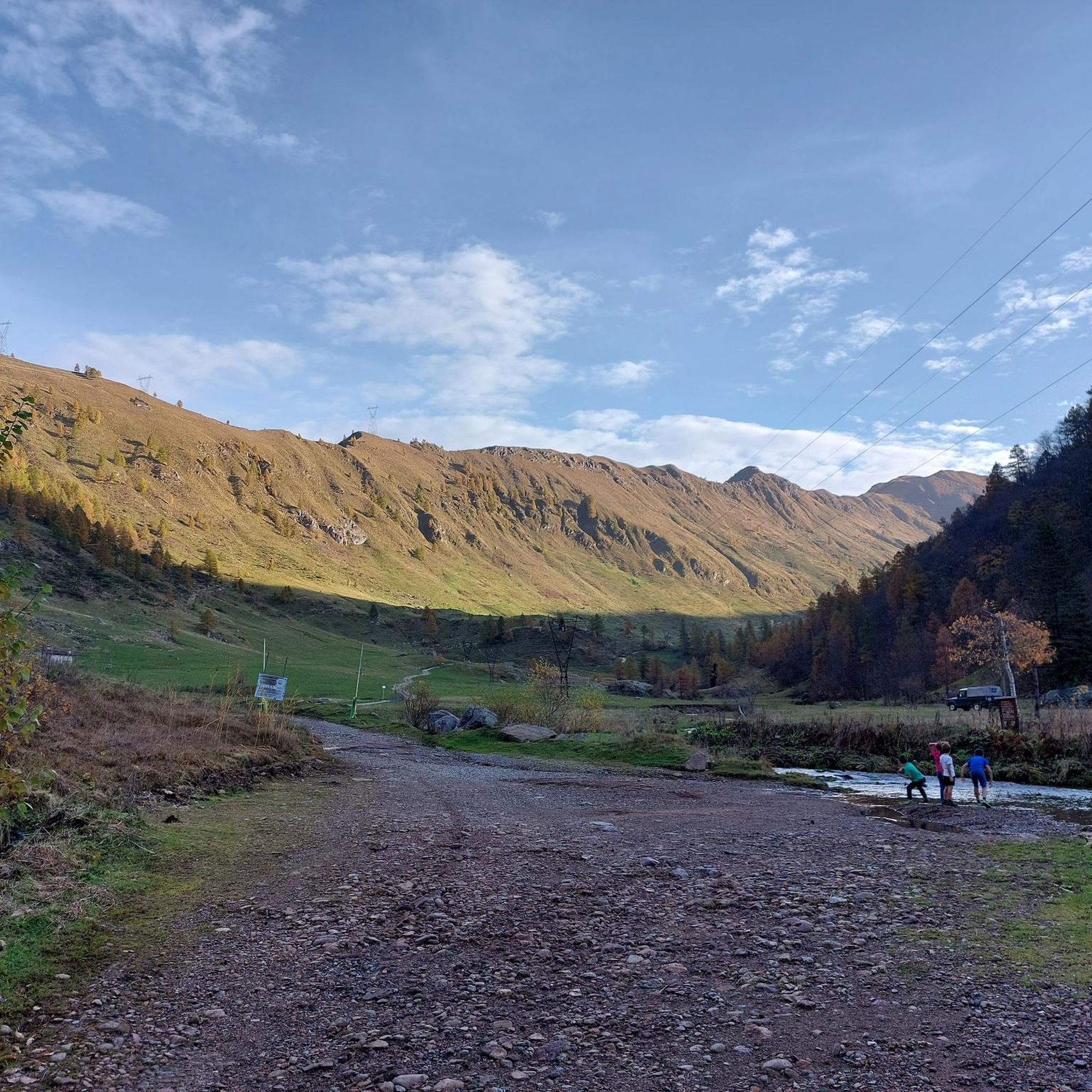
Above Introbio and Primaluna, the Val Biandino is entirely crossed by the Troggia torrent and extends between 1,500 and 1,900 metres above sea level. Going up the valley is not complicated, neither in terms of slopes nor of surface, and towards the top of it is the refuge of the same name.
0
0

Frequently Asked Questions
How many running routes are available around Introbio?
Introbio offers a wide selection of running routes, with over 19 trails available for you to explore. These routes vary in difficulty, ensuring options for different fitness levels.
What kind of terrain can I expect on jogging routes in Introbio?
Jogging routes around Introbio feature diverse terrain, from the dramatic Grigne Mountains to the serene Val Biandino and picturesque Pioverna River paths. You'll find expansive meadows at Pialeral, winding trails through valleys, and paths leading towards mountain huts, offering varied elevation changes and scenic backdrops.
Are there any challenging running trails for experienced runners?
Yes, Introbio is known for its challenging routes, with 13 of the available trails rated as difficult. For instance, the Valbiandino – Introbio–Biandino Trail loop from Introbio is a difficult 8.8-mile path exploring untouched landscapes. Another demanding option is the San Carlo Fountain – Madonna della Neve Mountain Hut loop from Introbio, a 13.0-mile trail through varied mountain terrain.
Are there any circular running routes in Introbio?
Many of the running routes around Introbio are circular, allowing you to start and finish in the same location. A popular choice is the Rifugio Tavecchia e Rifugio Grassi – loop run from Introbio, a 6.8-mile trail connecting two mountain huts with great views.
What are some scenic highlights or landmarks I can see while running in Introbio?
Running in Introbio offers stunning natural and historical sights. You can encounter the remote beauty of Val Biandino, panoramic views from Pialeral, and the serene Cenghen Waterfall. Mountain huts like Rosalba Hut and Brioschi Hut offer spectacular vistas of Lake Como and the Grigne mountains. The Rifugio Grassi – Lake Sasso loop from Introbio also offers diverse scenery.
Are there any easy or beginner-friendly jogging routes?
While many routes are challenging, there is at least one easy jogging route available around Introbio. The region's network of trails includes paths suitable for more leisurely runs, particularly along the Pioverna River or lower-altitude trails in areas like Pialeral.
What do other runners say about the trails in Introbio?
The running routes in Introbio are highly rated by the komoot community, with an average score of 5.0 stars. Over 400 runners have used komoot to explore the varied terrain, often praising the stunning mountain valleys, alpine meadows, and river paths that define the area.
Can I find routes that lead to mountain huts?
Absolutely. Introbio is well-integrated into a network of trails leading to various mountain huts. For example, the Rifugio Tavecchia e Rifugio Grassi – loop run from Introbio connects two such huts. Other huts like Rosalba Hut and Brioschi Hut are popular destinations, offering refreshments and spectacular views.
Are there any routes that offer views of Lake Como?
Yes, several higher-altitude trails and mountain huts in the Grigne Mountains provide breathtaking vistas of Lake Como. The Rosalba Hut, for instance, is known for its spectacular views of the lake, making it a rewarding destination for a strenuous run or hike.
What is the best time of year for running in Introbio?
Introbio offers outdoor activities throughout much of the year. While specific seasonal considerations depend on the route's elevation, spring through autumn generally provides the most favorable conditions for running, with pleasant temperatures and accessible trails. Winter running may be possible on lower-altitude paths, but higher mountain trails could be snow-covered.
Are there any routes suitable for families?
While many routes involve significant elevation, the diverse terrain around Introbio includes more accessible paths. Areas like Pialeral offer expansive meadows and accessible paths, such as the 'Anello del Pialeral' (Pialeral Ring), which can be suitable for families looking for a more leisurely jog or walk.
Can I find routes along a river?
Yes, the Pioverna River flows through Valsassina, offering picturesque riverside routes. These paths provide a serene environment with the sound of flowing water, ideal for a peaceful jog. The San Carlo Fountain – Introbio–Biandino Trail loop from Introbio, while challenging, also features varied landscapes including river sections.
Most popular routes around Introbio
Most popular attractions around Introbio

Get inspired with the komoot mobile app


Explore more
Browse the best Running Trails & Routes in other regions.
