The best running trails around Giarratana
5.0
(1)
159
runners
24
runs
Jogging around Giarratana offers access to the diverse landscapes of the Monti Iblei region in Sicily. The area is characterized by rugged terrain, including canyons and hills, providing varied environments for running. Proximity to natural features like Lago di Santa Rosalia also presents opportunities for lakeside jogging. The general natural scenery and wildlife in and around Giarratana make it suitable for outdoor pursuits.
Best jogging routes around Giarratana
- The most popular jogging route is Chiaramonte Trail, a 9.1 miles…
Last updated: October 7, 2026
20
runners
14.1km
01:52
590m
590m
Hard run. Very good fitness required. Mostly accessible paths. Some sure footedness required.
15
runners
15.1km
01:52
570m
570m
Hard run. Very good fitness required. Mostly accessible paths. Some sure footedness required.

6
runners
4.38km
00:28
50m
50m
Easy run. Great for any fitness level. Mostly paved surfaces. Suitable for all skill levels.
8
runners
17.8km
01:55
310m
310m
Hard run. Very good fitness required. Mostly paved surfaces. Suitable for all skill levels.
7
runners
11.1km
01:10
120m
120m
Moderate run. Good fitness required. Mostly paved surfaces. Suitable for all skill levels.
Get access to more routes and recommendations from other explorers.
Already have an account?
Our route recommendations are based on thousands of hikes, rides, and runs completed by other people on komoot.
Start today with a free account
Your next adventure awaits.
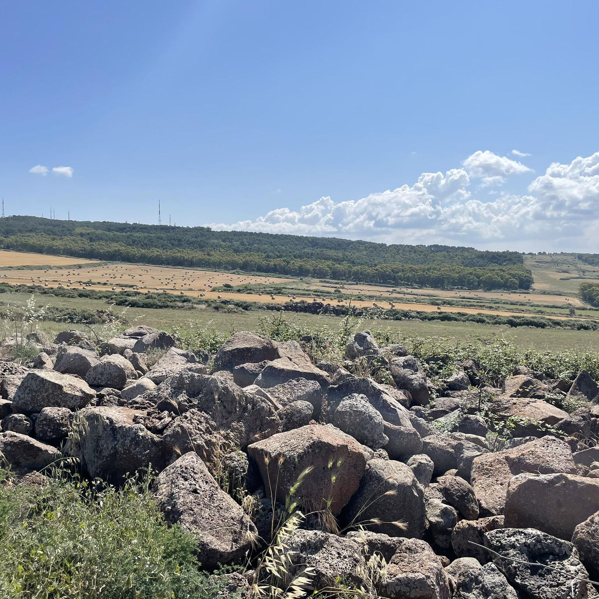
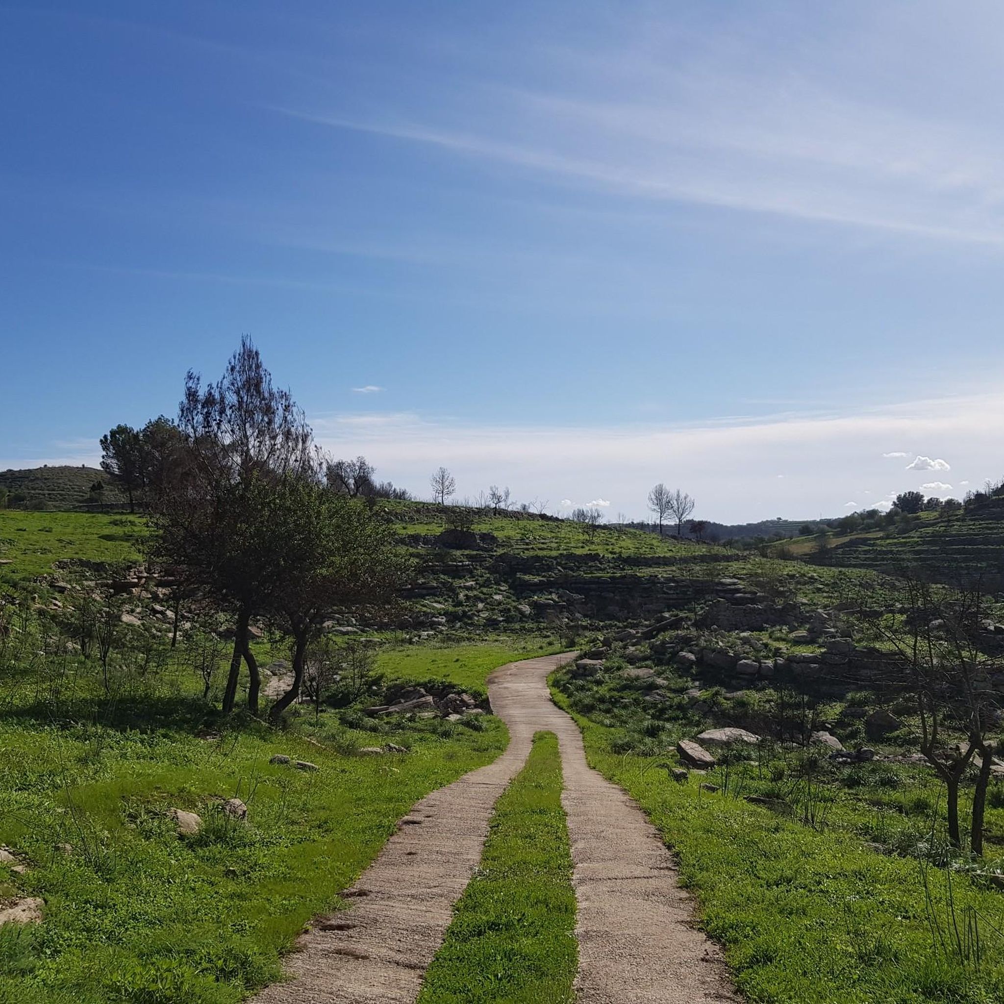
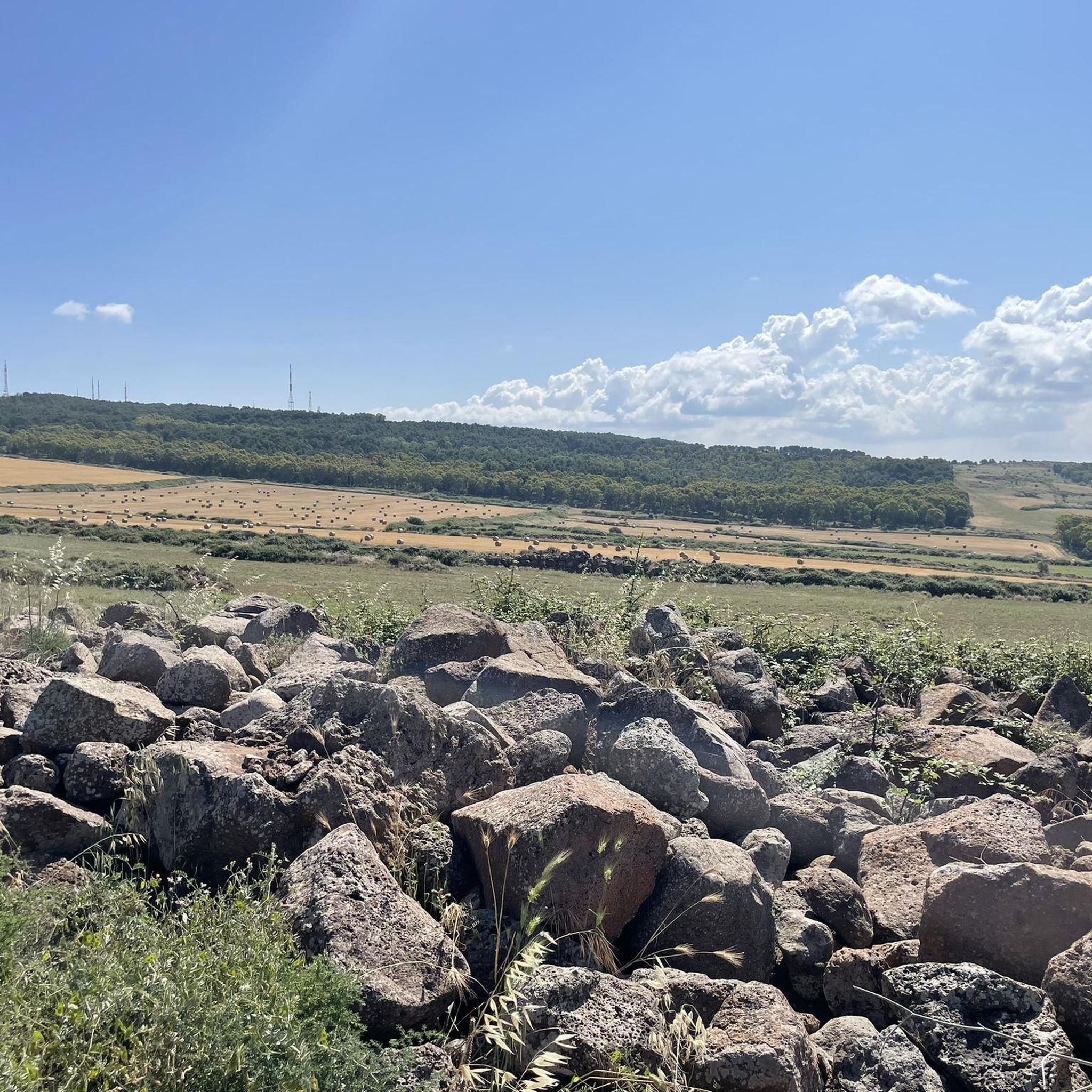
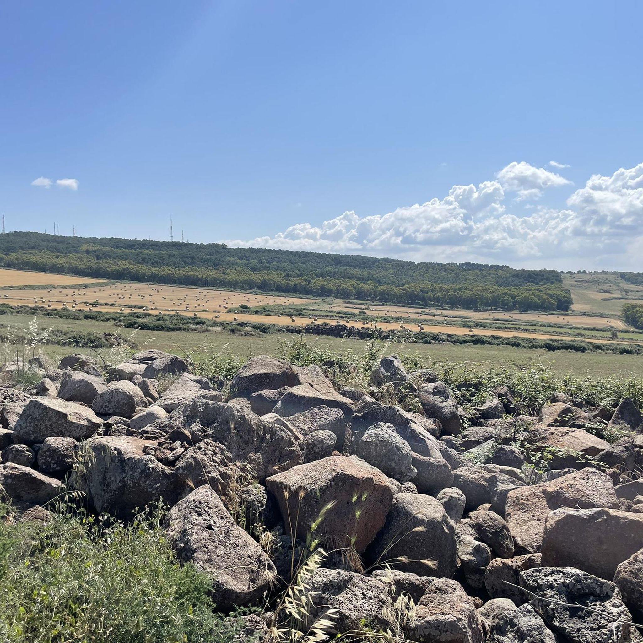
Tips from the Community

Main entrance point to the Canalazzo nature reserve
0
0


There are also public toilets and a spring in the area. Good connection
0
0

The square of Palazzolo is the baroque square par excellence which led to the attribution of the title of UNESCO Heritage. The church was built after the devastating Noto earthquake with a new style that was in vogue in the 1600s. Baroque indeed. The church is stupendous, towering above the square, full of solemnity and sacredness like few others.
0
0

In the heart of the majestic Iblei mountains, in the hinterland of the province of Syracuse, stands Palazzolo Acreide, a picturesque town that presents itself as a true treasure chest to be discovered. It is a place of cultural crossroads, where the past intertwines with the present, creating a unique and fascinating urban structure. This city boasts recognition as a UNESCO heritage site. Here, antiquity blends harmoniously with modern architecture, offering an extraordinary experience. Three main places outline the identity of Palazzolo Acreide: the ancient Greek settlement of Akrai, located in the upper part of the city, with its well-preserved remains and a Greek theater that still shines in its grandeur; the suggestive medieval centre, dominated by the mighty castle; and the upper district, skillfully rebuilt after the devastating earthquake of 1693, with its baroque churches and elegant noble palaces.
0
0

Beautiful panorama with Etna in the background before entering the former railway of "Ciccio Pecora"
0
0

It is a wonderful village, a UNESCO heritage site.
1
0

The Canalazzo Forest Park is a large green space that extends for about 60 km, located in the territory of Monte Casasia and bordered to the north by Lake Dirillo and to the south by the Pineta di Giarratana. From Monterosso Almo, located on the eastern slope of Monte Casasia, you have the main access to the Canalazzo Forest Park. Inside the Canalazzo Forest Park what stands out most to the eye are certainly its enchanting natural landscapes, almost paradisiacal, where the fauna meets perfectly with the rich vegetation in a climate suitable for hosting numerous species, including various birds that nest right among the shrubs present here. To the north of the Canalazzo Forest Park is the scenic Dirillo Lake, artificially created with a dam that blocks the path of the Sicilian river of the same name. The territory also has an important archaeological site, with various relics found which were then transported to the Archaeological Museum of Ragusa. The necropolises brought to light with the excavations can be visited, making the entire Canalazzo Forest Park even more exclusive which, in addition to the landscape, reserves numerous attractions that recall the history of Monterosso Almo and Sicily.
1
1
Frequently Asked Questions
How many jogging routes are available in Giarratana?
Giarratana offers a good selection of running routes, with over 10 options available for you to explore. These trails cater to various fitness levels, from easy loops to more challenging paths through the rugged Iblei Mountains.
What kind of terrain can I expect on running trails around Giarratana?
The running trails in Giarratana feature diverse terrain, characterized by rugged landscapes, green, hilly forests, and scenic hills. You'll encounter paths through canyons and undulating woodlands, providing a varied and engaging experience. For example, the Chiaramonte Trail traverses the rugged landscapes of the Iblei Mountains.
Are there easy jogging routes for beginners in Giarratana?
Yes, there are options suitable for beginners. For an easier run, consider the Running loop from Monte Contessa, which is a 4.4 km trail leading through gentle hills, often completed in about 28 minutes. This route offers a less strenuous introduction to jogging in the area.
Are there any circular running routes in Giarratana?
Many of the running routes in Giarratana are circular, allowing you to start and end at the same point. A notable example is the Canalazzo Picnic Area – Canalazzo Forest Park loop from Monterosso Almo, which takes you through a scenic forest park. The region also features other loops, particularly around Calaforno Forest Park.
What points of interest can I see while running in Giarratana?
While jogging in Giarratana, you can encounter several natural and historical points of interest. The Canalazzo Forest Park is a prominent feature, and the broader region includes natural monuments like the Cava dei Servi Nature Reserve. Some routes may also pass by the Calaforno cave or ascend to the Cozzo Priccio summit, offering scenic views.
Can I bring my dog on the running trails in Giarratana?
Many outdoor areas in Giarratana, including trails within natural parks and forests, are generally dog-friendly. However, it's always best to keep your dog on a leash and ensure you clean up after them. Specific rules might apply in certain protected areas like the Canalazzo Forest Park, so check local signage.
Are there family-friendly jogging options in Giarratana?
Yes, Giarratana offers family-friendly jogging options, especially around areas like the Calaforno Forest Park and its picnic areas. These locations often have shorter, less challenging loops that are suitable for families looking to enjoy a run together in nature. The Canalazzo Picnic Area is a great starting point for such outings.
Where can I park when accessing jogging routes in Giarratana?
Parking is generally available near popular access points for running routes. For trails within or near forest parks, such as the Calaforno Forest Park, you'll often find designated parking areas. For example, the Canalazzo Picnic Area – Canalazzo Forest Park loop from Monterosso Almo likely has parking facilities at its starting point.
What do other runners say about the jogging routes in Giarratana?
The running routes in Giarratana are highly regarded by the komoot community, with an average score of 5.0 stars from over 1 review. More than 120 runners have used komoot to explore the varied terrain, often praising the diverse landscapes and the invigorating environment of the green, hilly forests.
What is the best time of year for jogging in Giarratana?
The mild climate of Sicily generally makes Giarratana suitable for jogging for much of the year. Spring and autumn offer pleasant temperatures, ideal for outdoor activities. Even in summer, the green, hilly forests provide some shade, though early mornings or late afternoons are preferable to avoid the midday heat.
Are there amenities like cafes or pubs near the running trails?
While some routes might be more remote, areas like the Calaforno Forest Park and its picnic areas are more likely to have nearby facilities. For routes starting closer to towns or villages, such as the Pineta di Chiaramonte Gulfi loop from Chiaramonte Gulfi, you may find cafes or pubs in the vicinity for refreshments before or after your run.
Most popular attractions around Giarratana

Get inspired with the komoot mobile app


Explore more
Browse the best Running Trails & Routes in other regions.
