The best running trails around Monterosso Almo
5.0
(1)
139
runners
19
runs
Jogging routes around Monterosso Almo are set within the Hyblaean Mountains of southeastern Sicily, offering diverse and picturesque landscapes. The region features rolling hills, expansive forest parks like Canalazzo and Calaforno, and ancient countryside trails. Joggers can experience varied terrain, from challenging mountain paths with significant elevation gains to gentler routes winding through olive groves and vineyards.
Best jogging routes around Monterosso Almo
- The most popular jogging route is Chiaramonte Trail, a 9.1 miles (14.7 km) trail that takes…
Last updated: October 7, 2026
14
runners
14.7km
02:04
660m
670m
Hard run. Very good fitness required. Mostly accessible paths. Some sure footedness required.
20
runners
14.1km
01:52
590m
590m
Hard run. Very good fitness required. Mostly accessible paths. Some sure footedness required.

15
runners
15.1km
01:52
570m
570m
Hard run. Very good fitness required. Mostly accessible paths. Some sure footedness required.
16
runners
11.9km
01:27
410m
410m
Hard run. Very good fitness required. Mostly accessible paths. Some sure footedness required.
5.0
(1)
9
runners
8.00km
00:57
230m
230m
Moderate run. Good fitness required. Mostly paved surfaces. Suitable for all skill levels.
Get access to more routes and recommendations from other explorers.
Already have an account?
Our route recommendations are based on thousands of hikes, rides, and runs completed by other people on komoot.
Start today with a free account
Your next adventure awaits.
Tips from the Community

Main entrance point to the Canalazzo nature reserve
0
0

There are also public toilets and a spring in the area. Good connection
0
0

Chiaramonte Gulfi ('Ciaramunti' in Sicilian) is located 17 kilometers from Ragusa. The territory extends from the Iblei mountains to the Vittoria plain, characterized by mainly torrential waterways. The name derives from Count Manfredi Chiaramonte, founder of the town after the destruction of Gulfi in 1299. The local architecture boasts the Arco dell'Annunziata and the church of San Vito, patron saint of the town.
0
0

Beautiful panorama with Etna in the background before entering the former railway of "Ciccio Pecora"
0
0

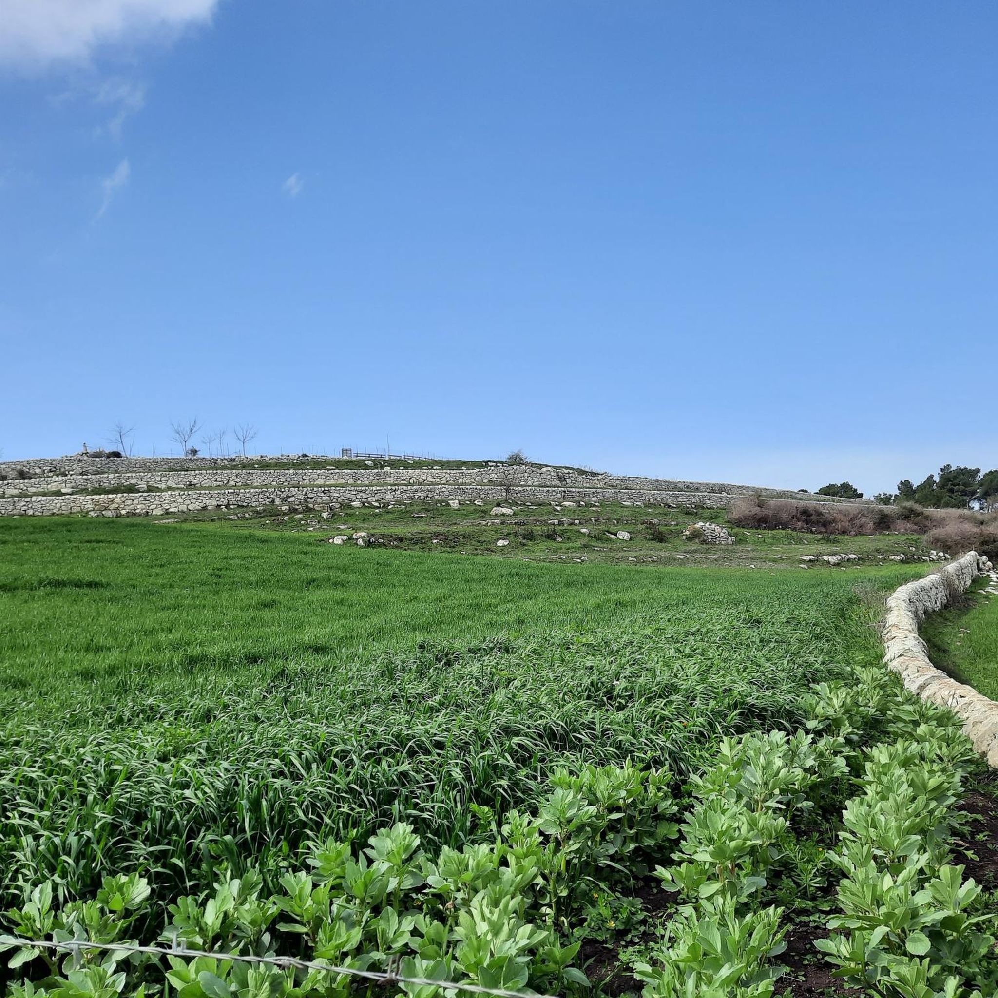
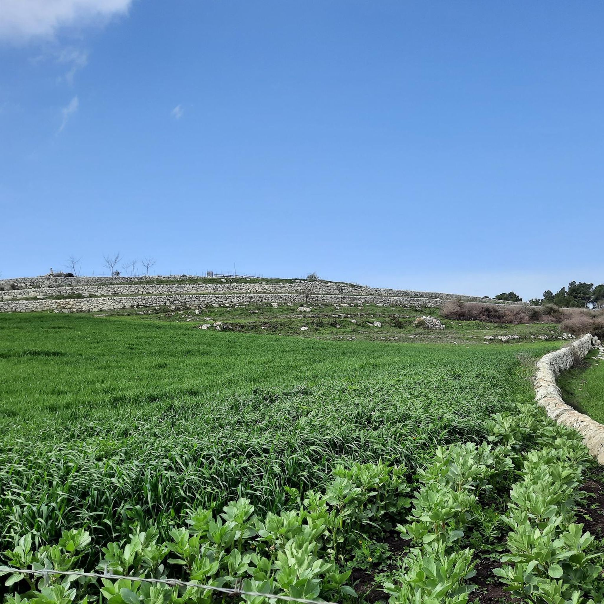
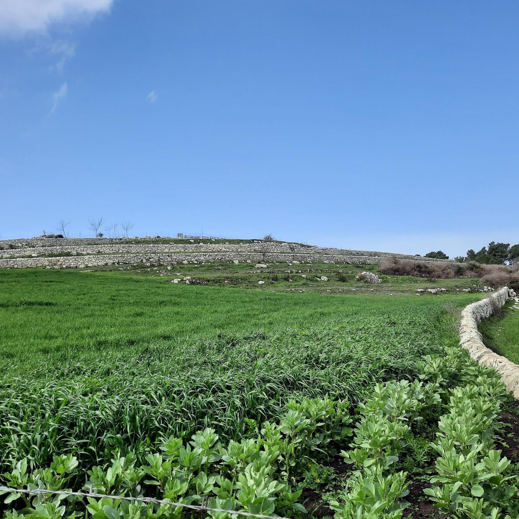
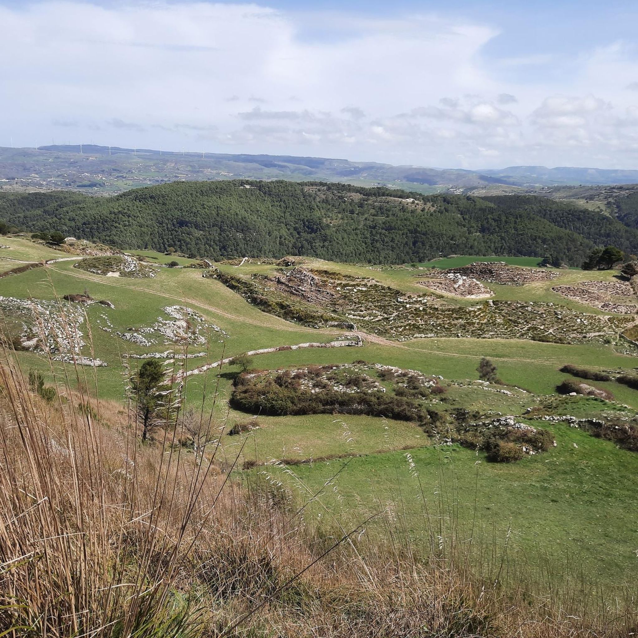
The Canalazzo Forest Park is a large green space that extends for about 60 km, located in the territory of Monte Casasia and bordered to the north by Lake Dirillo and to the south by the Pineta di Giarratana. From Monterosso Almo, located on the eastern slope of Monte Casasia, you have the main access to the Canalazzo Forest Park. Inside the Canalazzo Forest Park what stands out most to the eye are certainly its enchanting natural landscapes, almost paradisiacal, where the fauna meets perfectly with the rich vegetation in a climate suitable for hosting numerous species, including various birds that nest right among the shrubs present here. To the north of the Canalazzo Forest Park is the scenic Dirillo Lake, artificially created with a dam that blocks the path of the Sicilian river of the same name. The territory also has an important archaeological site, with various relics found which were then transported to the Archaeological Museum of Ragusa. The necropolises brought to light with the excavations can be visited, making the entire Canalazzo Forest Park even more exclusive which, in addition to the landscape, reserves numerous attractions that recall the history of Monterosso Almo and Sicily.
1
1

The Canalazzo Forest Park is a large green space that extends for about 60 km, inside there are equipped areas and adventurous paths.
2
0
Monte Arcibessi reaches 906 meters above sea level and is part of the Iblei chain. On its top there is an old neviera: a rudimentary construction that had the purpose of accumulating the snow that fell in winter.
2
0
Very nice equipped area, easily accessible. there is a drinking water fountain perfect for recharging
2
0
Frequently Asked Questions
How many jogging routes are available around Monterosso Almo?
There are over 10 running routes around Monterosso Almo, offering a variety of distances and difficulties. These trails are set within the picturesque Hyblaean Mountains, providing diverse landscapes for your run.
What kind of terrain can I expect on the running trails in Monterosso Almo?
The terrain around Monterosso Almo is quite varied. You'll find routes through rolling hills, expansive forest parks like Canalazzo and Calaforno, and ancient rural paths. Some trails offer significant elevation gains in the Hyblaean Mountains, while others wind more gently through olive groves and vineyards.
Are there any circular running routes in the area?
Yes, there are several circular running routes. For example, the Canalazzo Picnic Area – Canalazzo Forest Park loop from Monterosso Almo is a challenging 8.8-mile (14.1 km) path that explores the expansive Canalazzo Forest Park. Another popular option is the Pineta di Chiaramonte Gulfi loop from Chiaramonte Gulfi, a 9.4-mile (15.1 km) trail through a beautiful pine forest.
What natural attractions can I see while jogging in Monterosso Almo?
Many running routes offer views of the region's natural beauty. You might pass through the extensive Canalazzo Forest Park, which features equipped areas and paths climbing hills. Some trails also offer glimpses of nearby lakes like Lake Santa Rosalia or Lago Dirillo.
Are there any historical or cultural landmarks along the running paths?
Yes, the region has a rich history. Within the Canalazzo Forest Park, you can find important archaeological sites with necropolises. While not directly on a running path, the historic center of Monterosso Almo itself, recognized as one of Italy's 'Most Beautiful Villages', offers well-preserved Baroque architecture and sweeping views that can be appreciated as part of a run through the village or nearby trails.
Are there challenging running routes for experienced runners?
Absolutely. Monterosso Almo is situated in the Hyblaean Mountains, offering routes with significant elevation gains. The Chiaramonte Trail, for instance, is a difficult 9.1-mile (14.7 km) route connecting Monterosso Almo to Chiaramonte Gulfi, featuring a substantial climb and panoramic views through pine forests. The Canalazzo Picnic Area – Canalazzo Forest Park loop is another difficult option for those seeking a challenge.
Are there routes suitable for beginners or those looking for an easy run?
While many routes in the Hyblaean Mountains are challenging, the region also offers gentler options. You can find easier paths winding through traditional agricultural landscapes like olive groves and vineyards. The guide includes routes catering to various ability levels, with some classified as moderate or easy, perfect for a less strenuous jog.
Are the running trails in Monterosso Almo dog-friendly?
Many natural areas and rural paths in Sicily, including those around Monterosso Almo, are generally dog-friendly. However, it's always recommended to keep your dog on a leash, especially in forest parks or near agricultural land, to protect wildlife and livestock. Always carry water for your pet, particularly during warmer months.
What do other runners say about the trails in Monterosso Almo?
The running trails around Monterosso Almo are highly rated by the komoot community, with an average score of 5.0 stars. Over 100 runners have used komoot to explore the varied terrain, often praising the scenic views, the diverse landscapes, and the opportunity to experience both challenging mountain paths and tranquil countryside runs.
Where can I park when accessing the running trails?
Parking availability varies depending on the specific trailhead. For routes starting near Monterosso Almo or Chiaramonte Gulfi, you can often find parking in or near the towns. For trails within forest parks like Canalazzo, there might be designated picnic areas or parking spots. It's advisable to check the specific route details on komoot for parking recommendations.
Is public transport available to reach the running routes?
Public transport options to reach specific trailheads directly might be limited, as many routes venture into natural and rural areas. However, Monterosso Almo itself is accessible by local bus services, and from the town, you can often access nearby trails on foot. For more remote starting points, a car is generally recommended for convenience.
What is the best time of year for running in Monterosso Almo?
The best time for running in Monterosso Almo is typically during the spring (April-May) and autumn (September-October) months. During these periods, the weather is milder and more pleasant, avoiding the intense heat of summer and the cooler, potentially wetter conditions of winter. Spring brings blooming wildflowers, while autumn offers beautiful foliage.
Most popular attractions around Monterosso Almo

Get inspired with the komoot mobile app


Explore more
Browse the best Running Trails & Routes in other regions.
