The best walks and hikes around Pannarano
4.2
(161)
494
hikers
71
hikes
Hiking around Pannarano offers access to trails within a hilly and forested landscape, characteristic of the Partenio Regional Park area. The region features varied terrain, including ascents to local summits and paths through dense woodlands. Elevations range from lower valley routes to higher points offering broader views.
Best hiking trails around Pannarano
- The most popular hiking route is Alta Via del Partenio Loop, a 13.0 miles (20.8 km) trail that takes about 9 hours 30 minutes to complete. This…
Last updated: October 6, 2026
1
hikers
20.8km
09:32
1,300m
1,300m
This difficult 12.9-mile hiking loop in Parco Regionale del Partenio offers rugged mountains, dense forests, and views of Mount Vesuvius.
2
hikers
6.53km
01:57
200m
200m
This easy 4.1-mile (6.5 km) hiking loop around Ceppaloni offers historical charm, panoramic views, and takes under two hours.

4.7
(3)
8
hikers
Moderate hike. Good fitness required. Easily-accessible paths. Suitable for all skill levels.
5.0
(2)
6
hikers
Moderate hike. Good fitness required. Easily-accessible paths. Suitable for all skill levels.
3.5
(2)
5
hikers
9.97km
03:49
640m
640m
Moderate hike. Good fitness required. Mostly accessible paths. Sure-footedness required.
Get access to more routes and recommendations from other explorers.
Already have an account?
Our route recommendations are based on thousands of hikes, rides, and runs completed by other people on komoot.
Start today with a free account
Your next adventure awaits.

Tips from the Community

San Giovanni park beautiful but abandoned
1
0
the road isn't great but the summit is beautiful
1
0

Panoramic peak at 1360 meters easily reachable along paths that are never complex or dangerous. An experience suitable even for the little ones.
2
0

Near the Fonte San Giovanni refuge there is a majestic beech tree.
5
0
Near the Tre Castagni area you can admire beautiful panoramas with Vesuvius.
4
0
The Tre Castagni area, in the municipality of Baiano (AV) offers a large parking lot for excursions in the Partenio regional park. https://it.wikipedia.org/wiki/Parco_regionale_del_Partenio
6
0

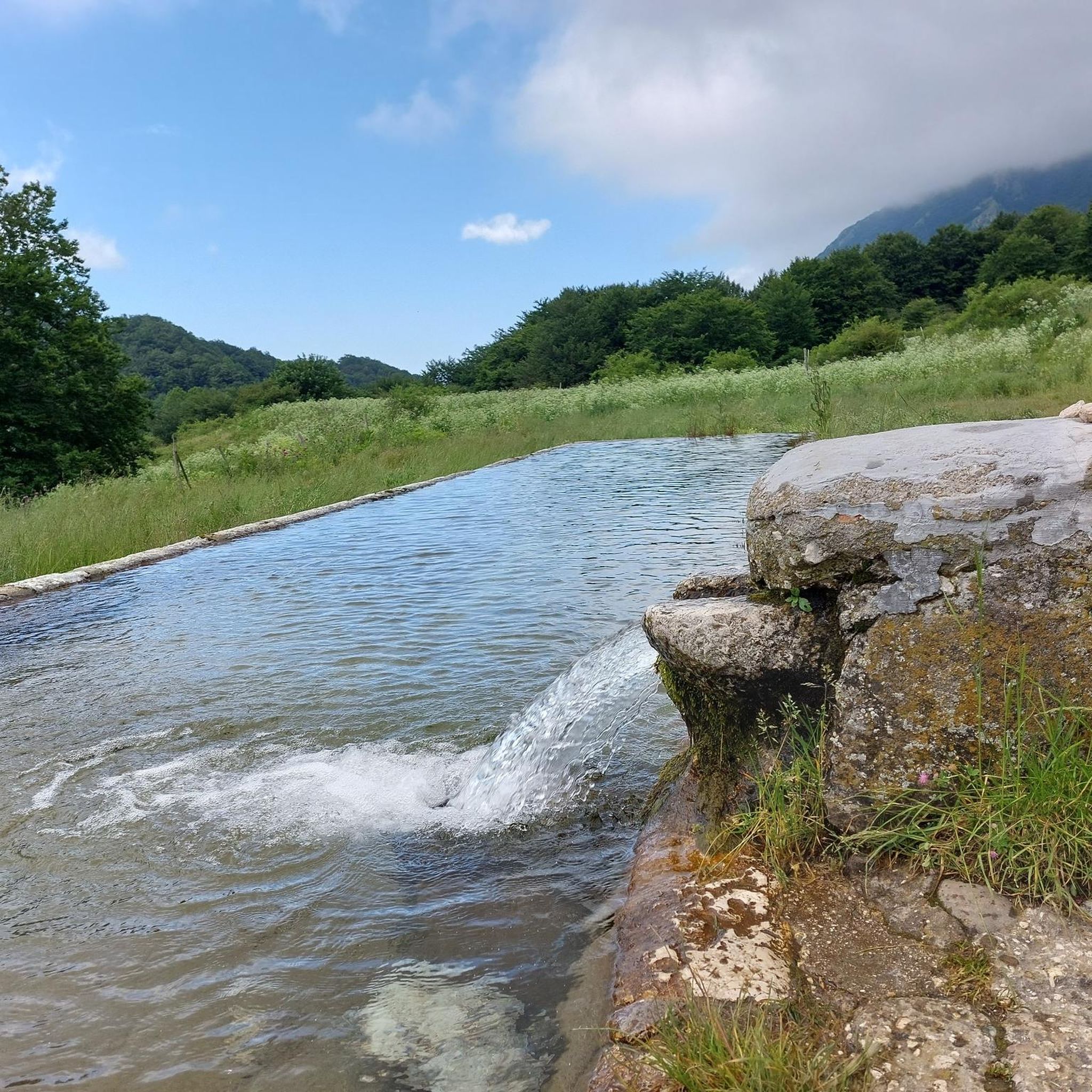
The most important source of the Clanio torrent, Bocca dell'acqua, was captured starting from the early 1960s to supply water to the Alto Calore aqueduct, but not for this reason, especially in late spring, after the rains, it is less spectacular. The reference is the CAI 231 path, which leads to the mouth of the water. Here you can both visit the cave where the source was captured and explore the descent of the water up to the Clanio stream and admire the spectacular waterfall both from above and below, descending, not without being careful, into the stream bed . In late spring, after the snow and the rains, the abundance of water, the abundant moss, the broken trees, make the place fantastic.
0
0

The Mafariello refuge and the equipped area are located inside the Parco del Partenio, at the foot of Monte Pizzone. A very peaceful place nestled in the coniferous forest.
0
0
Frequently Asked Questions
How many hiking trails are available around Pannarano?
There are over 70 hiking routes in the Pannarano area, offering a wide range of options from easy strolls to challenging mountain treks within the Partenio Regional Park.
Are there any easy, family-friendly walks in Pannarano?
Yes, Pannarano offers several easy routes suitable for families. An example is the Ceppaloni Loop, which is 6.5 km (4.1 miles) long and takes about 1 hour 55 minutes to complete, leading through local countryside.
What kind of terrain can I expect on hikes in Pannarano?
The terrain around Pannarano is characterized by forested hills and varied paths through rural areas, typical of the Partenio Regional Park. You'll find everything from gentle slopes to steeper ascents leading to local summits.
Are there any challenging hikes for experienced trekkers?
Absolutely. For experienced hikers, the region offers difficult routes like the Alta Via del Partenio Loop. This 20.8 km (13.0 miles) trail explores the higher elevations of the Partenio massif and takes approximately 9 hours 30 minutes.
What are some interesting landmarks or attractions to see while hiking in Pannarano?
Hikers can discover several points of interest. Consider visiting the historic Montevergine Sanctuary, or the serene Campo Maggiore Plateau and Lake. You might also encounter natural monuments like the Ancient Beech Tree of Campo San Giovanni.
Are there any circular walks available in the Pannarano area?
Yes, many routes around Pannarano are circular. For example, the Toppola Grande Summit (1360 m) loop from Località tre Castagni offers a moderate 10.0 km (6.2 miles) circular path with summit views.
Where can I find parking for hiking trails in Pannarano?
Many trailheads, particularly those starting from Località tre Castagni, offer designated parking areas. For instance, the Tre Castagni Area - parking lot loop begins directly from a parking facility.
What do other hikers say about the trails in Pannarano?
The trails in Pannarano are highly rated by the komoot community, with an average score of 4.2 stars from over 140 reviews. Hikers often praise the diverse landscape, from dense woodlands to panoramic summit views, and the variety of routes available for different skill levels.
Are there any routes that feature waterfalls near Pannarano?
Yes, you can find routes that pass by waterfalls. The Tre Castagni Area - parking lot – Bocca dell'Acqua Waterfall loop is a moderate 14.0 km (8.7 miles) hike that includes the Bocca dell'Acqua Waterfall.
What is the best season for hiking in Pannarano?
The hilly and forested landscape of Pannarano makes it enjoyable for hiking across multiple seasons. Spring and autumn offer pleasant temperatures and vibrant scenery, while summer provides lush green forests. Winter hiking is also possible, though higher elevations may require appropriate gear.
Are there any historical castles or ruins to explore near Pannarano?
Yes, the region around Pannarano is rich in history. You can explore sites like Monteforte Irpino Castle, Castello di Tufo, or the Ruins of Mercogliano Castle, offering glimpses into the area's past.
Most popular attractions around Pannarano

Get inspired with the komoot mobile app


Explore more
Browse the best Hikes in other regions.
