The 12 Most Amazing Peaks around Vajont
Best mountain peaks around Vajont are found in the Friuli-Venezia Giulia region of northeastern Italy, within the Friulian Dolomites, a UNESCO World Heritage site. This area is characterized by its dramatic landscape and untouched nature. While known for the historical Vajont Dam event, the region provides access to a range of mountain peaks. These peaks offer opportunities for hiking and experiencing the natural environment.
Best mountain peaks around Vajont
- The most popular mountain peaks is Monte Fara summit (1,342 m)…
Last updated: October 4, 2026
Summit cross on Monte Jouf
Highlight • Summit
Translated by Google •
Tip by

Pala Barzana
Highlight • Mountain Pass
Tip by

Sign up now to discover places like this
Get recommendations on the best single tracks, peaks, & plenty of other exciting outdoor places.
Monte Fara summit (1,342 m)
Highlight • Summit
Translated by Google •
Tip by

Pala d'Altei Summit
Highlight • Summit
Translated by Google •
Tip by
Monte Ciastelat Summit
Highlight • Summit
Translated by Google •
Tip by

Sign up for free to discover even more peaks around Vajont.
Already have an account?
Start today with a free account
Your next adventure awaits.
Tips from the Community

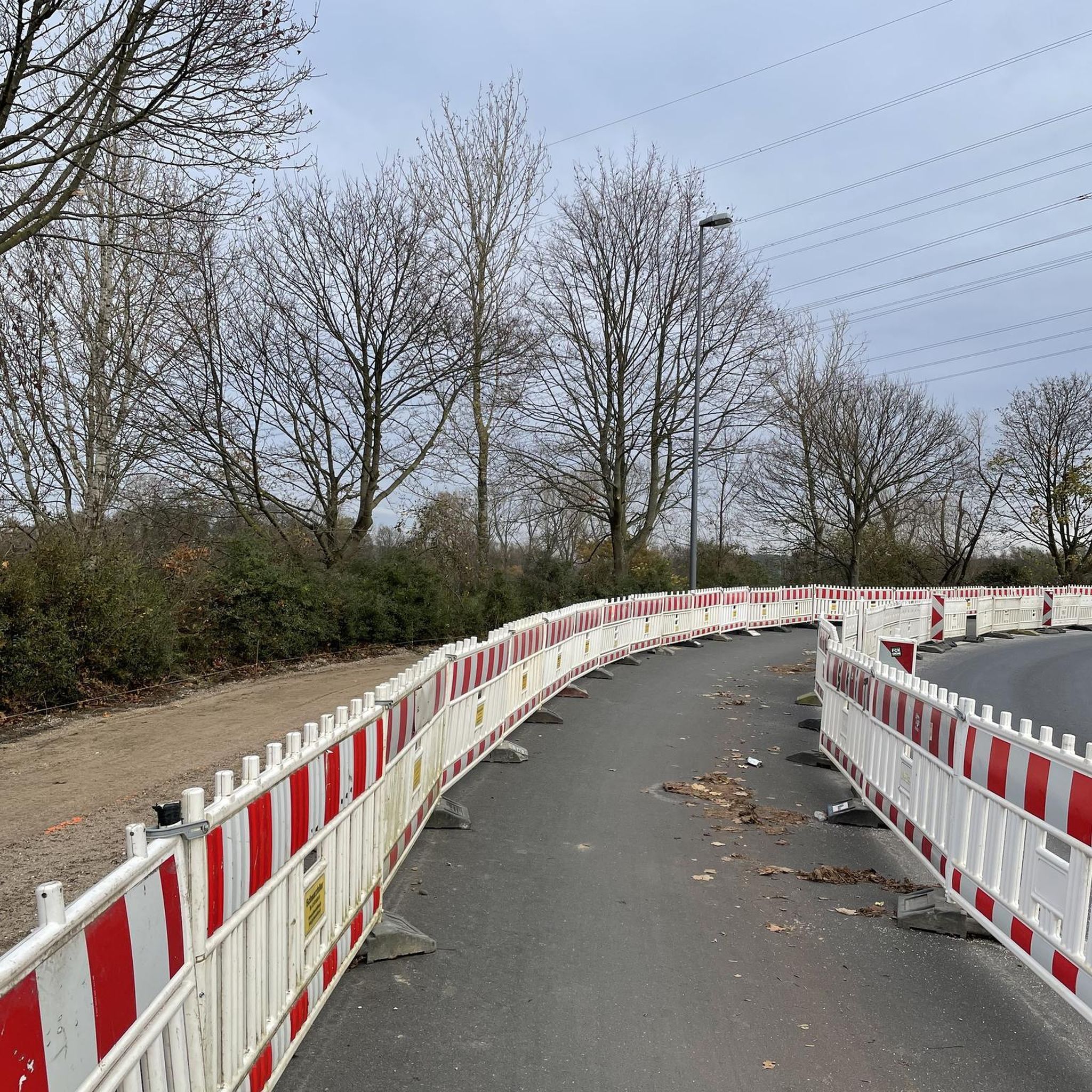
the road is "technically" closed, but you can pass by bike
0
0

Forcella di Pala Barzana (840 m) is a well-known pass in the Carnic Prealps, located along the provincial road 63 which connects Val Colvera (Frisanco, Poffabbro) and Val Cellina (Andreis). It is a reference point for cycling ascents from both sides, as well as a starting point for excursions on Monte Raut, Jouf or Fara. There is no structure of any kind, except for a large area for parking, a large wooden canopy for picnic use, and a monument to fallen alpine soldiers.
0
0

Once you reach the saddle, this monument reminds you of times gone by, makes you pause and points to the good times in which we are allowed to live.
0
0
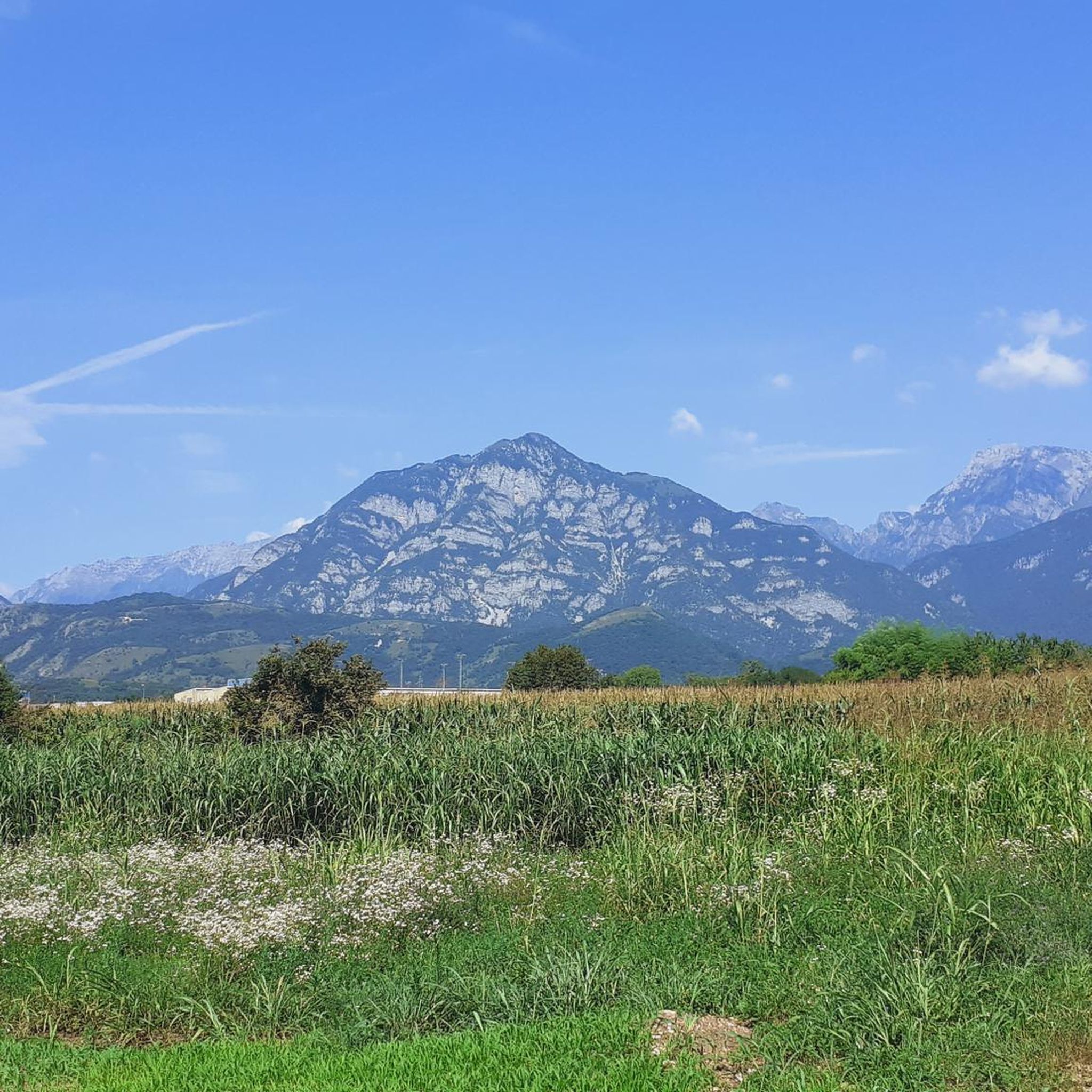
Mount Jôuf is a peak in the Carnic Prealps that rises behind the city of Maniago. This name, quite common in the mountain environment, literally translates to "yoke" (long and rounded mountain summit). The name appears for the first time in 1286, in the Municipal Archives of Maniago, and today it is written in various ways including: Iouf, Jouf, Jôf, Iof and Jof. Its main peak, an enchanting grassy clearing at 1,224 m, in a panoramic position on the Friulian plain, is recognizable by a modest flag with a rudimentary bench. In reality there is also a lower peak, traditionally recognized, located at 1,203 m and reachable from the saddle below. Here there is a large cross with a summit book. Nearby there is a meteorological station that reduces the view.
0
0

Tortuous, I do not recommend it to the inexperienced
0
0

Since I am an Alpine (128 AUC), I always stop to read the names of those who fell in war and silently send my thoughts of respect and brotherhood.
1
0

Mount Ciastelat 1541mt is fantastic, its low relief emerges from the vast wooded area that bears the same name. It is definitely worth a visit
0
0

The descent to the west towards Lago di Barcis was closed in July 2024 because the road had slipped in some places. Construction work was underway, but cycling was possible without major problems. There were also many cyclists travelling in both directions.
0
0
Frequently Asked Questions
What are some of the most scenic viewpoints around Vajont's mountain peaks?
For breathtaking panoramic views, consider visiting Monte Fara summit (1,342 m), which offers sweeping vistas of the Pordenone plain, the Cellina, Meduna, and Tagliamento streams, and distant peaks like Monte Castello and Monte Raut. Another excellent spot is Pala d'Altei Summit, providing a remarkable panorama of surrounding peaks including Cavallo, Col Nudo, the Friulian Dolomites, and even the distant Julian Alps.
What unique natural features can I expect to see in the mountains around Vajont?
The mountains around Vajont are part of the Friulian Dolomites, a UNESCO World Heritage site known for its wild and untouched nature. You'll encounter dramatic limestone formations, steep cliffs, and extensive wilderness. A particularly striking feature is the Campanile di Val Montanaia, a spectacular spire-like rock pinnacle often called the 'Stone Cry', which is a major attraction for its unique geological structure.
What is the highest peak in the Friulian Dolomites accessible from the Vajont area?
The highest peak in the broader Friulian Dolomites is Cima dei Preti, standing at 2,703 meters (8,868 feet). While not directly in Vajont, it is part of the range accessible from the area and offers extensive opportunities for experienced mountaineers.
Are there challenging mountain peaks for experienced hikers near Vajont?
Yes, for experienced hikers seeking a challenge, Monte Raut is a notable option. It is one of the highest mountains in the Carnic Pre-Alps chain, offering spectacular and demanding routes. Additionally, the Mount Toc offers a via ferrata route for experienced climbers, providing unparalleled views of the dam and surrounding Dolomites.
Are there easier mountain walks or family-friendly options around Vajont?
While many peaks offer challenging routes, the region also provides opportunities for less strenuous walks. The area around the Vajont Dam itself offers paths for reflection and understanding of its history. For specific easy mountain walks, it's best to consult local trail maps or visitor centers, as the general character of the Friulian Dolomites leans towards more rugged terrain.
What kind of terrain can I expect when hiking the mountain peaks around Vajont?
The terrain in the Vajont area, part of the Friulian Dolomites, is characterized by dramatic limestone formations, steep slopes, and rocky paths. You can expect a mix of forested trails at lower elevations transitioning to exposed, rugged, and often challenging rocky terrain as you ascend towards the summits. The region is known for its wild character, with fewer lift facilities compared to other Dolomite areas, meaning significant walking is often required.
Are there any mountain peaks around Vajont with historical significance?
Yes, Mount Toc is profoundly linked to the 1963 Vajont Dam disaster. A massive landslide from its slopes caused the devastating wave. Visiting Mount Toc today offers a somber opportunity for reflection on this historical event, with the visible scar on the mountainside serving as a powerful reminder. Viewpoints from nearby villages like Casso provide the best perspective of its scale.
When is the best time of year to hike the mountain peaks around Vajont?
Ascension to peaks like Monte Fara summit (1,342 m) is recommended in spring or autumn due to lower temperatures and clearer views. Generally, the warmer months from late spring to early autumn (May to October) are ideal for hiking in the Friulian Dolomites, offering more stable weather conditions. Winter hiking is possible but requires specialized gear and experience due to snow and ice.
Beyond hiking, what other outdoor activities can I do near the mountain peaks of Vajont?
The Vajont area offers a variety of outdoor activities. You can explore numerous cycling routes, including touring bicycle, mountain biking (MTB), and gravel biking. For example, there are challenging MTB trails like the 'Mural on Via della Chiesa – View of Torrente Cellina loop from Montereale Valcellina' or gravel biking routes such as the 'Spilimbergo – Bridge over the Cellina stream loop from Maniago'. You can find more details on these activities in the Cycling around Vajont, MTB Trails around Vajont, and Gravel biking around Vajont guides.
What do visitors enjoy most about the mountain peaks around Vajont?
Visitors frequently praise the spectacular panoramic views from the summits, with many describing them as 'a show' or 'beautiful balconies'. The sense of untouched nature and wilderness in the Friulian Dolomites is also highly valued. The unique historical context of Mount Toc and the Vajont Dam also provides a profound and reflective experience for many.
Are there any other significant peaks in the broader Friulian Dolomites worth noting?
Beyond the immediate Vajont area, the broader Friulian Dolomites offer several other prominent peaks. These include Monte Duranno (2,652 meters), Monte Cridola (2,581 meters), Croda Montanaia (2,548 meters), Crodon di Giaf (2,523 meters), and Monte Pramaggiore (2,479 meters). These mountains contribute to the region's reputation as one of the most untouched areas of the Dolomites massif.
Can I find accommodation or cafes near the mountain peaks in the Vajont area?
While the region is known for its wilderness, picturesque mountain villages like Erto and Casso offer cultural and culinary attractions, which may include cafes and accommodation options. For specific details on services, it's advisable to check local resources or visitor information for these villages.
Most popular attractions around Vajont

Get inspired with the komoot mobile app


Explore more
See even more amazing summits around Vajont with these guides:
