The best running trails around Abbasanta
5.0
(1)
100
runners
18
runs
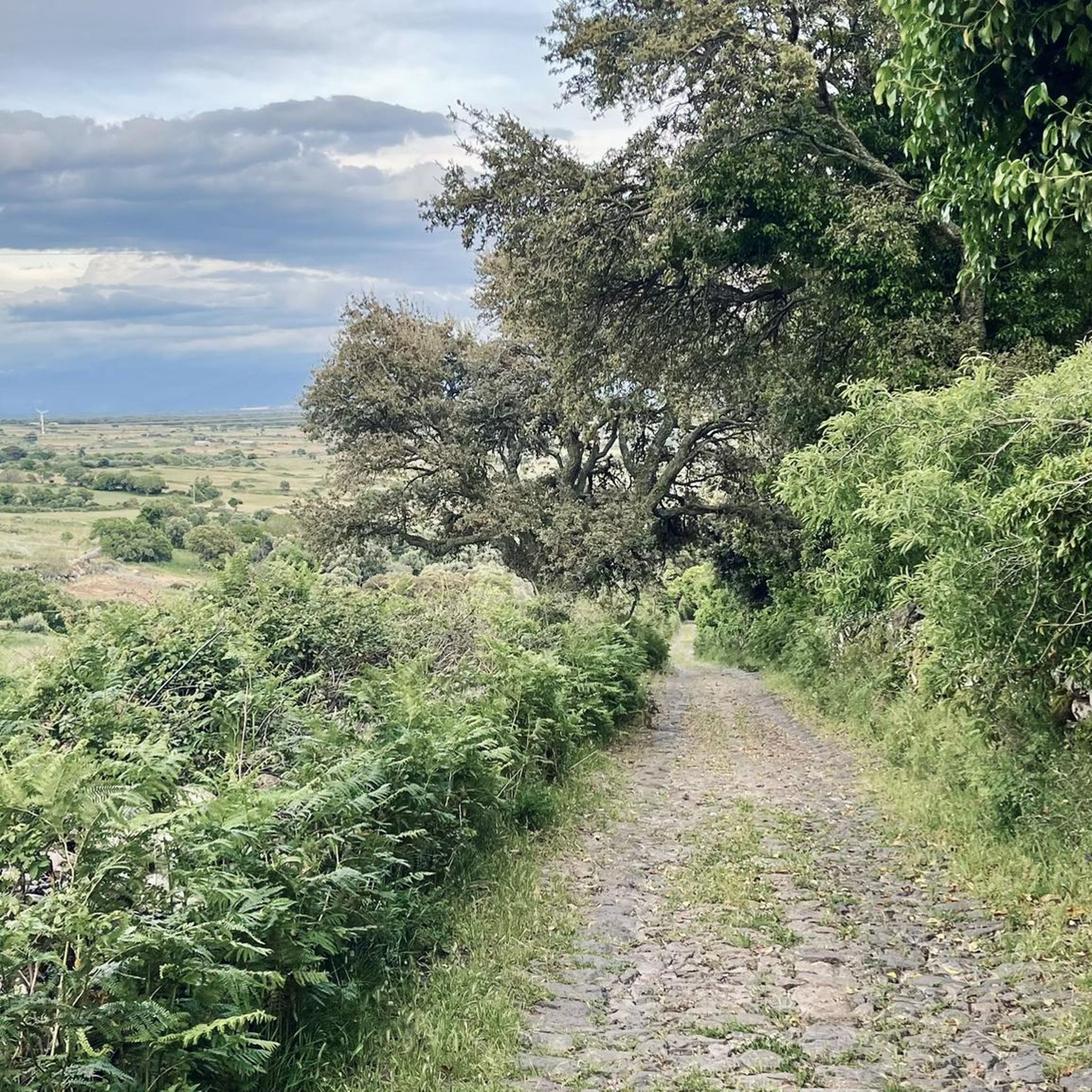
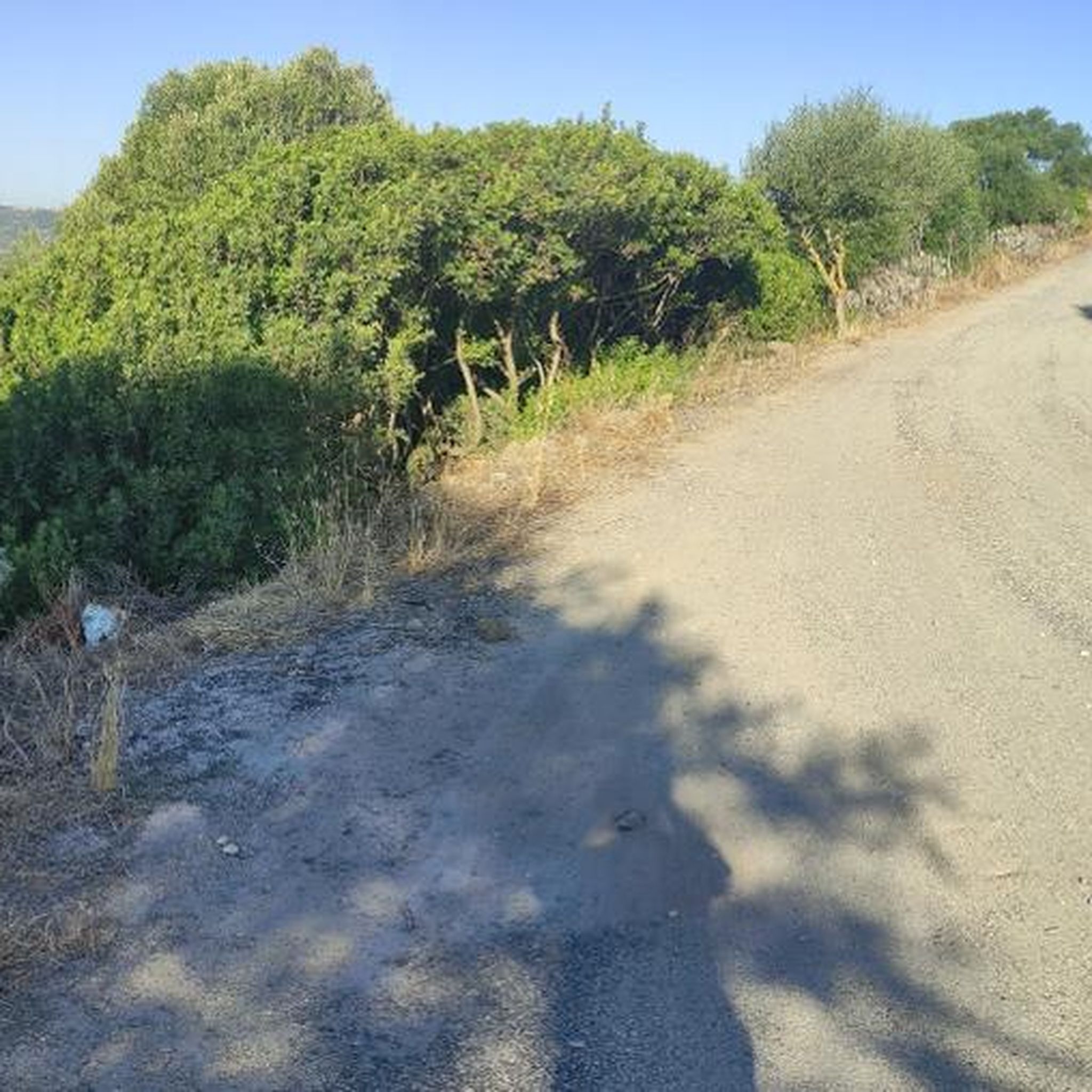
Jogging routes around Abbasanta are set on a basaltic lava plateau in central Sardinia, offering diverse landscapes for runners. The terrain, shaped by the ancient Montiferru volcano, features rich cork oaks, olive trees, and pastures enclosed by traditional stone walls. A thick natural forest covers parts of the Barigadu region, providing shaded and scenic running routes. The area also integrates historical sites like Nuraghe Losa, offering unique landmarks during runs.
Best jogging routes around Abbasanta
- The most popular jogging route…
Last updated: July 8, 2026
1
runners
14.4km
01:52
520m
510m
Hard run. Very good fitness required. Sure-footedness, sturdy shoes and alpine experience required.
26
runners
11.6km
01:22
240m
250m
Moderate run. Good fitness required. Mostly paved surfaces. Suitable for all skill levels.

Sign up for free
11
runners
6.69km
00:41
20m
20m
Moderate run. Good fitness required. Mostly paved surfaces. Suitable for all skill levels.
10
runners
12.6km
01:18
30m
30m
Moderate run. Good fitness required. Mostly paved surfaces. Suitable for all skill levels.
5.0
(1)
5
runners
8.45km
00:57
60m
60m
Moderate run. Good fitness required. Mostly paved surfaces. Suitable for all skill levels.
Get access to more routes and recommendations from other explorers.
Sign up for free
Already have an account?
Our route recommendations are based on thousands of hikes, rides, and runs completed by other people on komoot.
Start today with a free account
Your next adventure awaits.
Login or Signup
Tips from the Community

The path to the waterfall has been closed and inaccessible for three years.
0
0

It is located in the municipality of Santu Lussurgiu (OR) A spectacular rocky peak of Montiferru that reaches an altitude of 970 meters. The west side is vertical, while the east side is inclined and climbable. On the summit there are the remains of a megalithic fortification, also known as Rocca 'e su Para, a toponym attributed, it seems, for the use of the fortress by Camaldolese friars as a place of prayer.
0
0
Disappointment... we are experienced hikers. We followed the route to the letter and found ourselves on barely marked paths overgrown with vegetation (brambles, thistles). The way back is no better: tarmac road used by many trucks. Hiking to be completely revised because it is impassable on many sections.
0
0

It is a beautiful place that we visited despite the prohibition sign at the top of the path that indicated that the path was dangerous.
0
0

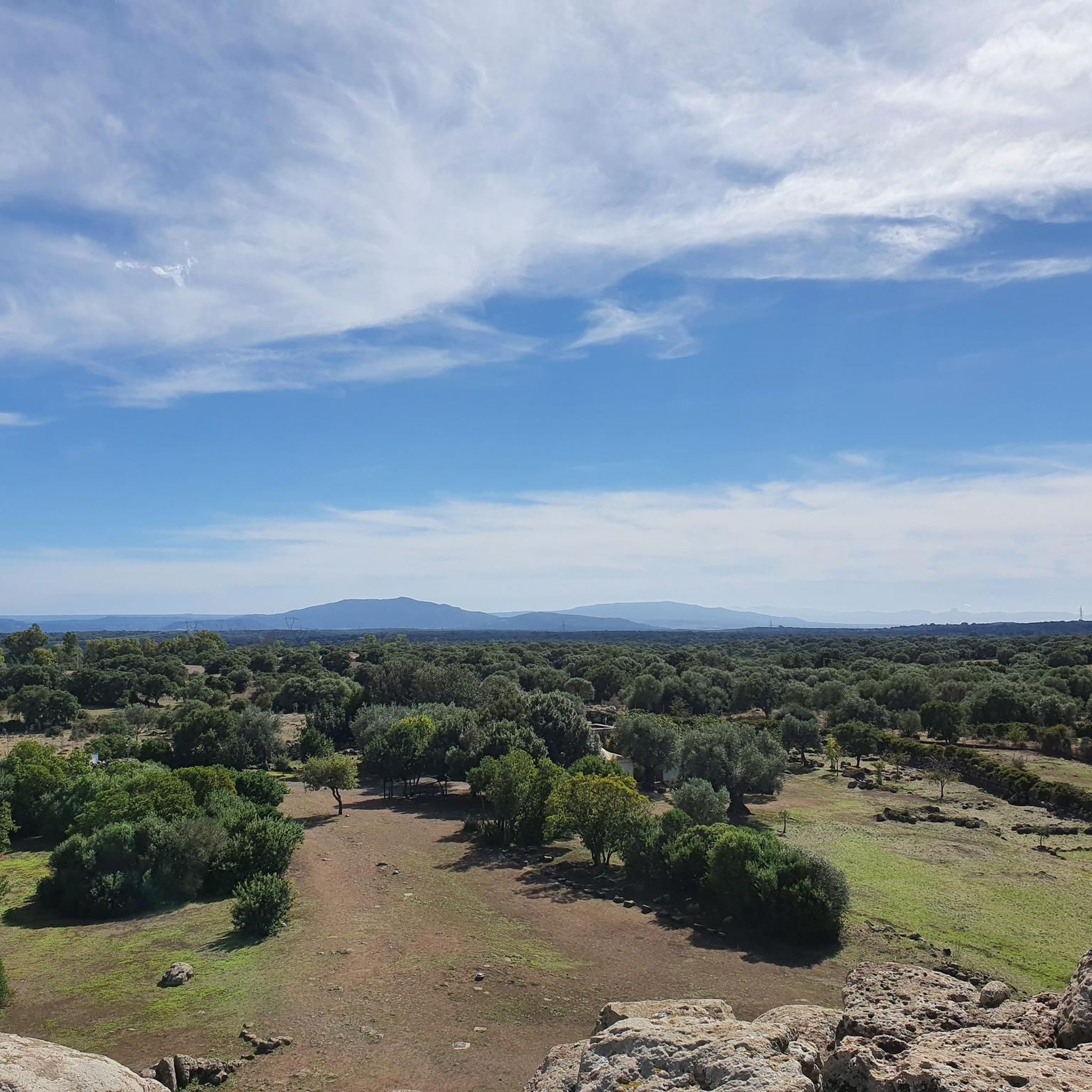
Imposing peak, maximum height of 986. From the top you can see a wonderful panorama
0
0

Deep inside the historic Montiferru region, surrounded by rolling hills and untouched nature, lies Santu Lussurgiu, an idyllic mountain village that seems to forget time. But this village hides a secret that is only revealed to those who set out to discover it. Follow the path as it takes you over a slightly steep path. Every step on this path, which leads down a few steps, makes the anticipation grow. And then, at the end of this path, you will be rewarded with a breathtaking spectacle: the Cascata di Sos Molinos. A waterfall where the crystal clear water plunges an impressive 12 meters into the depths. The gentle sound of the water mixing with the singing of birds and the sound of the wind creates an atmosphere of calm and peace. Even when the leaves change color in autumn and nature prepares for winter, the water of the Riu sos Molinos still bubbles powerfully and lively. It is a place where you can experience the power and beauty of nature up close. Take a moment, sit on one of the stones at the edge of the falling pool and let yourself be enchanted by the magic of this place. A visit to the Cascata Riu sos Molinos is not only a feast for the eyes, but also balm for the soul. It's a little paradise waiting for you to discover.
5
0

An approx. 300m long, somewhat steep path leads down a few steps to the basin of this beautiful waterfall. The water of the Rio sos Molinos falls from a height of around 12 meters. It splashes wonderfully and even in October there is plenty of water here. A visit is highly recommended.
2
0

A beautiful summit from which you can admire a wonderful view.
0
0
Frequently Asked Questions
What kind of terrain can I expect on running routes around Abbasanta?
The running routes in Abbasanta traverse a diverse landscape, primarily a basaltic lava plateau shaped by the ancient Montiferru volcano. You'll encounter rich cork oaks, olive trees, and lentischi, as well as pastures enclosed by traditional stone walls. Many routes also lead through the thick natural forest of the Barigadu region, offering shaded and scenic paths.
Are there any running routes that pass by waterfalls in the Abbasanta area?
Yes, for those seeking scenic water features, the area offers routes that include waterfalls. A notable option is The Riu Sos Molinos waterfall and Monte Pertosu - Loop tour, which provides views of the impressive Sos Molinos Waterfall. This route is considered difficult and covers about 14.4 km.
Can I find family-friendly jogging paths near Abbasanta?
While specific 'family-friendly' routes aren't explicitly categorized, Abbasanta offers a range of paths suitable for various abilities. There are 2 easy routes and 12 moderate routes among the 15 available. For a convenient and accessible option, consider the Running loop from Abbasanta, a moderate 6.9 km path that starts directly from the town.
Are there any circular running routes available in Abbasanta?
Yes, many of the running routes around Abbasanta are designed as loops, perfect for circular runs. Examples include the Running loop from Abbasanta, the Running loop from Norghiddo/Norbello, and the Nuraghe Perdu Cossu loop from Abbasanta, all offering convenient circular options.
What historical or archaeological sites can I explore while running in Abbasanta?
Abbasanta is rich in history, and several running routes allow you to discover ancient sites. The region is home to numerous Nuragic complexes, including the well-preserved UNESCO World Heritage site Nuraghe Losa. You can also find other significant sites like Nuraghe Santa Cristina, Nuraghe Aiga, and Nuraghe Zuras, as well as ancient dolmens and Giants' Tombs. The Nuraghe Perdu Cossu loop from Abbasanta is one route that takes you past historical landmarks.
Are there any shaded running trails in Abbasanta, especially for warmer days?
Yes, the Barigadu region, where Abbasanta is located, is covered by a thick natural forest, providing numerous shaded and scenic routes. You can also find centennial cork oak woods near the Bonorchis spring in Tanca Regia and centuries-old cork and downy oaks in the Parco di Sant'Agostino, which offer excellent shaded spots for a peaceful run.
What do other runners say about the jogging routes in Abbasanta?
The running routes in Abbasanta are highly regarded by the komoot community, holding an impressive average rating of 5.0 stars. Over 70 runners have explored the area using komoot, often praising the varied terrain, from basaltic plateaus to extensive cork oak woods, and the unique experience of running past ancient Nuragic sites.
How many running routes are available in the Abbasanta area?
There are 15 distinct running routes available around Abbasanta, catering to various fitness levels. This includes 2 easy routes, 12 moderate routes, and 1 difficult route, ensuring options for every runner.
Are there any running routes that start directly from Abbasanta town?
Yes, for convenience, there are routes that begin right from Abbasanta. A popular choice is the Running loop from Abbasanta, a moderate 6.9 km path that offers an accessible option for a local run without needing to travel far.
Can I find running routes near Sant'Agostino in Abbasanta?
Absolutely. The Running loop from Sant'Agostino is an excellent option. This moderate 8.4 km route allows you to explore the beautiful area around Parco di Sant'Agostino, known for its centuries-old cork and downy oaks and a rural sanctuary.
What are some natural features or viewpoints I might encounter on a run in Abbasanta?
Beyond the diverse volcanic terrain and forests, you might encounter several natural features and viewpoints. These include the centennial cork oak woods near Bonorchis spring, the ancient trees of Parco di Sant'Agostino, and various peaks like Monte Agudu or Shaded Rest Spot at Badde Urbara Summit, offering panoramic views of the Sardinian landscape.
Are there any running routes that explore the countryside near Norghiddo or Norbello?
Yes, if you're looking to explore the rural landscapes outside of Abbasanta, the Running loop from Norghiddo/Norbello is a great choice. This moderate 6.7 km trail leads you through the picturesque countryside, offering a different perspective of the region.
Most popular attractions around Abbasanta

Get inspired with the komoot mobile app


Explore more
Browse the best Running Trails & Routes in other regions.
