The best road cycling routes around San Polo D'Enza
4.3
(351)
7,558
riders
37
rides
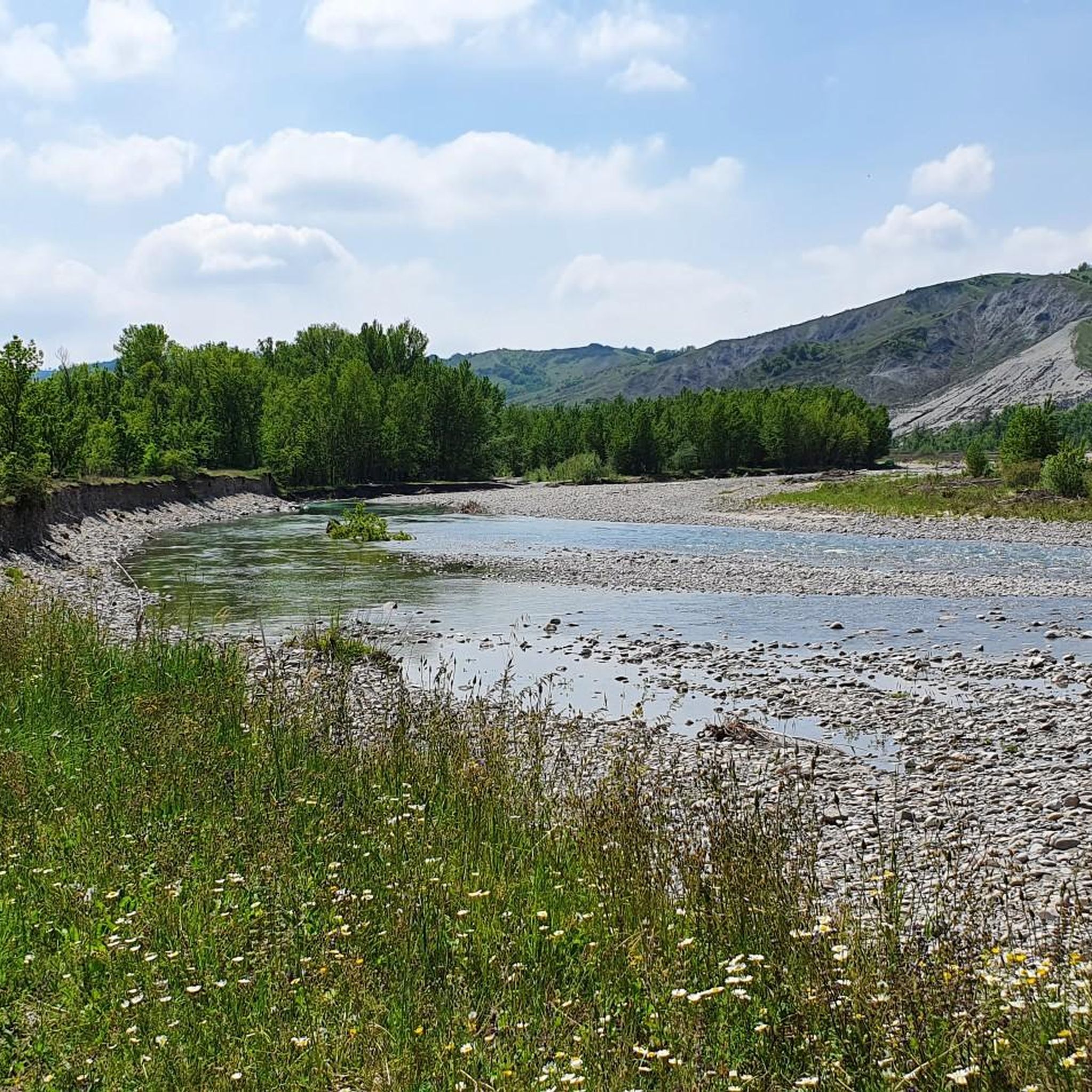
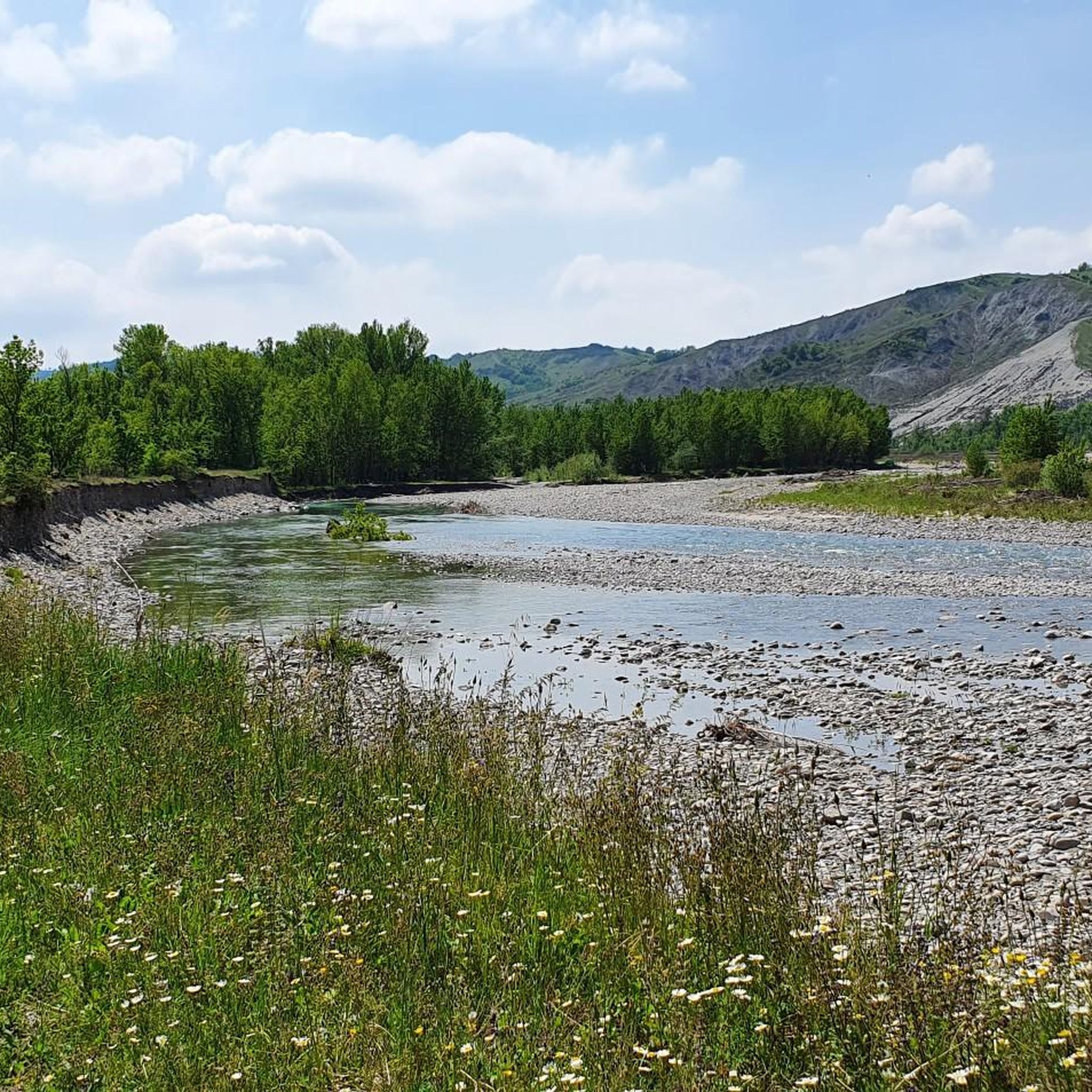
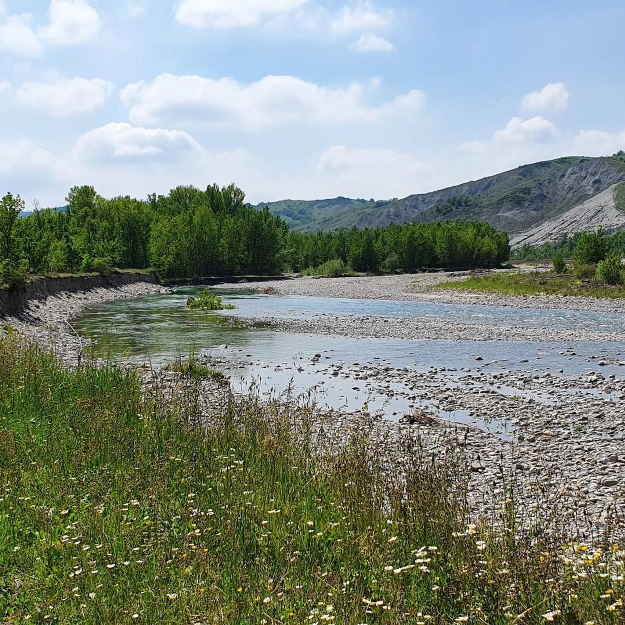
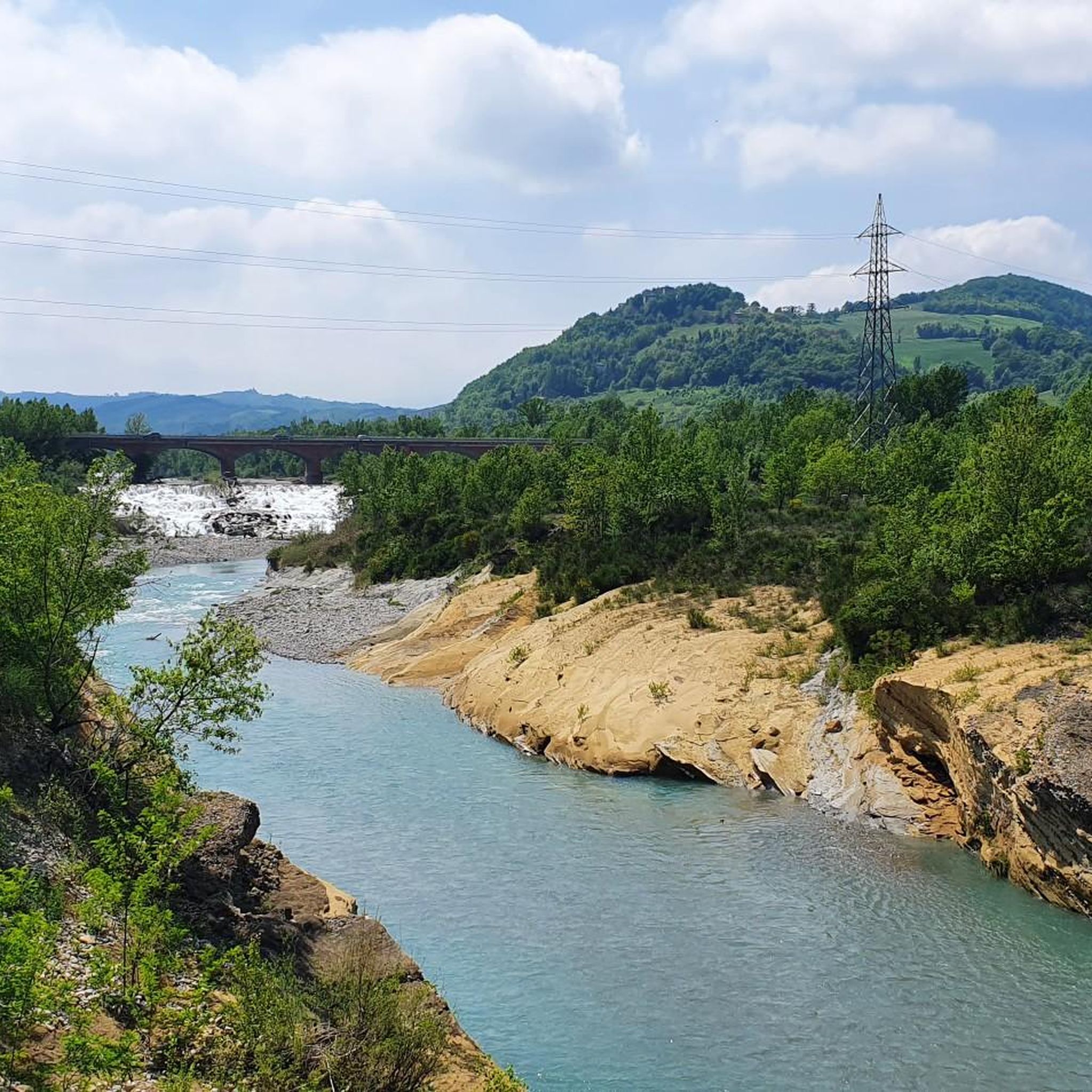
Road cycling routes around San Polo D'Enza traverse the diverse landscapes of the Reggio Emilia Foothills, characterized by rolling hills and varied elevations. The region features unique geological formations known as "calanchi badlands" and the scenic Enza River, which offers tranquil riding alongside its banks. These natural features combine with historical landmarks to create a compelling environment for road cyclists of all levels.
Best road cycling routes around San Polo D'Enza
- The most popular road cycling route is Fountain Dedicated…
Last updated: October 30, 2026
4.6
(7)
175
riders
Moderate road ride. Good fitness required. Mostly well-paved surfaces and easy to ride.
4.0
(3)
153
riders
Moderate road ride. Good fitness required. Mostly well-paved surfaces and easy to ride.

5.0
(3)
80
riders
58.7km
02:56
910m
910m
Hard road ride. Very good fitness required. Mostly well-paved surfaces and easy to ride.
4.7
(3)
190
riders
Hard road ride. Very good fitness required. Mostly well-paved surfaces and easy to ride.
5.0
(2)
38
riders
84.2km
04:15
1,380m
1,380m
Hard road ride. Very good fitness required. Mostly well-paved surfaces and easy to ride.
Get access to more routes and recommendations from other explorers.
Already have an account?
Our route recommendations are based on thousands of hikes, rides, and runs completed by other people on komoot.
Start today with a free account
Your next adventure awaits.

Tips from the Community

In Calestano there is no place called "Bar Artcafè", but it is likely that you are looking for Antico Caffè, the reference bar and wine bar in the center of the town
1
0
In Alta Val Baganza, between the villages of Cassio, Chiastre, and Casaselvatica, you can admire the Salti del Diavolo (Devil's Jumps), a rock outcrop that amazes those who travel on the roads and paths that pass through the area. They are powerful spires, towers, and rocky peaks that emerge abruptly for tens of meters from the surrounding terrain, dominating the forest and visible even from a distance. They are arranged along a ridge that crosses the valley and winds for 5 km, crossing the Baganza stream. For the local people, they still represent concrete proof of a legend from medieval times.
0
0
The Church of Sant'Antonino Martire in Compiano d'Enza (a hamlet in the municipality of Canossa, in the province of Reggio Emilia) is a Catholic place of worship dating back to the 16th century, whose documented origins date back as far as the year 1080. Main information History: Originally linked to the Monastery of S. Prospero in Reggio Emilia, the primitive church was destroyed by a landslide in the 15th century and rebuilt in its current position on a rocky hill overlooking the Enza valley. Architecture: It features a facade in classical forms, marked by pilasters and a sixteenth-century layout. Current state: The building and its appurtenances (bell tower and rectory) are currently in a state of semi-abandonment, although they offer a highly impactful panorama of the valley.
0
0
The Scurano lake is a small basin located in Scurano, a hamlet of the municipality of Neviano degli Arduini, in the province of Parma (Emilia-Romagna). It is found by going up from the Val d'Enza towards Scurano, positioned on the right along the road. In the past, it measured about 60,000 square meters in surface area, with a maximum depth of 7 meters. It reached its peak popularity between the '80s and '90s as a well-known destination for sport fishing and competitions. In recent years, it has lost its original function, going through periods of inactivity and being covered by aquatic vegetation. The area is frequented for nature trails and cycling or walking excursions, not far from the Monte Fuso Wildlife Center and the picturesque Cascata della Grondara.
0
0

The Val Baganza viewpoint is located on the hills of Barbiano, in the municipality of Felino (PR), precisely at Via Ricò, 19. This position is considered one of the best panoramic terraces in the province of Parma. In addition to this specific point, the Val Baganza offers other exceptional natural and historical viewpoints: Barbiano Viewpoint (Felino): Located on Via Ricò. It offers a clear and open view of the hills and the stream. Monte Bastia and Torre del Boriano (San Vitale Baganza): An easy hiking trail of about an hour starting from Ponticella di San Vitale. Salti del Diavolo Viewpoint (Chiastre di Calestano): Along the CAI 771 trail leading to the famous rock formations. Alta Val Baganza Ridge (Passo della Cisa / Berceto): For high-altitude trekking lovers, the trails connecting Poggio di Berceto to Monte Fontanini offer spectacular 360-degree views that unite Val Baganza with the nearby Val Parma.
0
0
Val Baganza is a valley in the Parma Apennines carved by the Baganza stream, which extends for about 50 kilometers from its source on Mount Borgognone to its confluence with the Parma stream. It is a territory rich in history, medieval villages, unspoiled nature, and food and wine excellences. The Devil's Jumps: Spectacular narrow and elongated rock formations that cut across the valley, ideal for hiking
1
0

A must-see when passing through Calestano
0
0

Beautiful observation point on the Val d'Enza
0
0
Frequently Asked Questions
What types of road cycling routes are available in San Polo D'Enza?
San Polo D'Enza offers a diverse range of road cycling routes, catering to various skill levels. You'll find everything from moderate rides, like the Fountain Dedicated to Mothers – Val Termina and Pieve di Sasso loop, to more challenging endeavors with significant elevation gain, such as the Torrechiara Castle – Castello di Corniglio loop. In total, there are over 30 routes, with 5 easy, 10 moderate, and 19 difficult options.
What natural features and historical landmarks can I expect to see while road cycling in the region?
The region is rich in both natural beauty and historical significance. Cyclists can explore the unique 'calanchi' badlands, ride alongside the scenic Enza River, and pass by historic castles. Notable landmarks include Castello di Bianello and the Scenic Road Between the Castles of Canossa and Rossena. You might also encounter viewpoints like Beautiful view from Monte Fornello.
Are there any long-distance or challenging road cycling routes for experienced riders?
Yes, experienced riders will find plenty of challenging options. The region features 19 difficult routes, many with substantial elevation gain. For instance, the Fountain Dedicated to Mothers – Pomello Bridge in Vetto loop covers over 135 km with significant climbing. Another demanding route is the Val Termina and Pieve di Sasso – Fountain Dedicated to Mothers loop, which offers nearly 2000 meters of elevation gain.
What is the best time of year to go road cycling in San Polo D'Enza?
While specific weather conditions vary, the Reggio Emilia Foothills generally offer pleasant cycling conditions during spring and autumn. These seasons typically provide milder temperatures and less extreme weather, making for a more enjoyable experience on the region's varied terrain.
Are there circular road cycling routes available?
Yes, many of the road cycling routes around San Polo D'Enza are designed as loops, starting and ending in the same general area. Examples include the Fountain Dedicated to Mothers – Val Termina and Pieve di Sasso loop and the Fountain Dedicated to Mothers – Public Fountain in Lagrimone loop, allowing for convenient round trips.
What do other road cyclists say about the routes in San Polo D'Enza?
The road cycling routes in San Polo D'Enza are highly regarded by the komoot community, with an average rating of 4.3 stars from over 20 reviews. Cyclists often praise the diverse terrain, the scenic views of the Reggio Emilia Foothills, and the combination of natural beauty with historical sites like castles and the unique 'calanchi' badlands.
Are there any easy road cycling routes suitable for beginners or those seeking a relaxed ride?
Yes, the area offers 5 easy road cycling routes. These routes are generally shorter and have less elevation gain, making them suitable for beginners or those looking for a more relaxed pace. While specific routes are not explicitly labeled 'beginner,' the 'easy' classification indicates a less demanding experience.
Can I find routes that pass by lakes or other water features?
While the Enza River is a prominent feature with dedicated cycling trails, you can also find routes that pass by other water bodies. For instance, Lago del Tasso is a highlight in the region that some routes may pass near, offering serene views.
What kind of terrain can I expect on the road cycling routes?
The terrain around San Polo D'Enza is characterized by the Reggio Emilia Foothills, meaning you can expect rolling hills and varied elevations. Many routes feature mostly paved surfaces or low-traffic roads, providing a smooth cycling experience, though some more challenging routes might include unpaved segments.
Are there any specific routes that highlight the 'calanchi' badlands?
Yes, the unique 'calanchi' badlands are a distinctive geological feature of the region. While not explicitly listed in the guide data routes, the 'Terre di Canossa e calanchi - ring tour' is mentioned in regional research as highlighting these formations, offering a unique scenic experience.
Are there opportunities to combine road cycling with visits to historical castles?
Absolutely. The region is dotted with historical castles, and many cycling routes are designed to pass by them. For example, the Torrechiara Castle – Castello di Corniglio loop is a difficult route that specifically features historic castles, allowing you to combine physical activity with cultural exploration.
How many people typically explore the road cycling routes in San Polo D'Enza using komoot?
Over 800 road cyclists have used komoot to explore the varied terrain around San Polo D'Enza, indicating a popular and well-regarded destination within the komoot community.
Most popular routes around San Polo D'Enza
Most popular attractions around San Polo D'Enza

Get inspired with the komoot mobile app


Explore more
Browse the best Road cycling routes in other regions.
