The best cycling routes around Brentonico
4.6
(73)
1,136
riders
21
rides
Touring cycling around Brentonico is characterized by its location on a high plateau of Monte Baldo, offering varied terrain from 500 to over 2,000 meters above sea level. The region features alpine meadows, rocky peaks, and extensive chestnut groves, providing diverse cycling conditions. Riders can experience significant elevation changes and panoramic views of Lake Garda and the Dolomites. This area is known for its rich biodiversity within the Monte Baldo Natural Park.
Best touring cycling routes around Brentonico
- The most popular touring cycling route is Rifugio Graziani – Rifugio Graziani loop from Sorne, a 26.0 miles (41.9 km) trail that takes 3 hours 53 minutes to complete. This difficult route features significant elevation gain as it ascends towards Rifugio Graziani.
- Another top favourite among local touring cyclists is Graziani Hut – Road to Passo Cavallo loop from Lago di Prà della Stua, a difficult 28.6 miles (46.1 km) path. This route offers challenging climbs and expansive views across the Monte Baldo landscape.
- Local touring cyclists also love the Dossioli - Prà Alpesina – Malga Alpo Water Fountain loop from Polsa, a 23.7 miles (38.2 km) trail leading through high plateau terrain, often completed in about 3 hours 7 minutes.
- Touring cycling around Brentonico is defined by the slopes of Monte Baldo, panoramic views of Lake Garda, and diverse landscapes including alpine meadows and chestnut groves. The network offers options for different ability levels, from challenging ascents to more moderate paths.
- The routes in Brentonico are highly rated by the komoot community with an average score of 4.6 stars from over 75 reviews. More than 1,100 touring cyclists have used komoot to explore Brentonico's varied terrain.
Last updated: September 27, 2026
4.9
(22)
164
riders
42.7km
03:56
1,640m
1,640m
Hard bike ride. Very good fitness required. Mostly paved surfaces. Suitable for all skill levels.
5.0
(3)
142
riders
46.1km
04:14
1,510m
1,510m
Hard bike ride. Very good fitness required. Mostly paved surfaces. Suitable for all skill levels.

5.0
(10)
110
riders
33.3km
02:53
1,210m
1,210m
Hard bike ride. Very good fitness required. Mostly paved surfaces. Suitable for all skill levels.
4.3
(3)
111
riders
35.2km
03:22
1,160m
1,160m
Hard bike ride. Very good fitness required. Mostly paved surfaces. Suitable for all skill levels.
5.0
(3)
92
riders
39.0km
03:58
1,390m
1,390m
Hard bike ride. Very good fitness required. You may need to push your bike for some segments of this route.
Get access to more routes and recommendations from other explorers.
Already have an account?
Our route recommendations are based on thousands of hikes, rides, and runs completed by other people on komoot.
Start today with a free account
Your next adventure awaits.
Popular around Brentonico

The Path of Peace – journey into Trentino's history
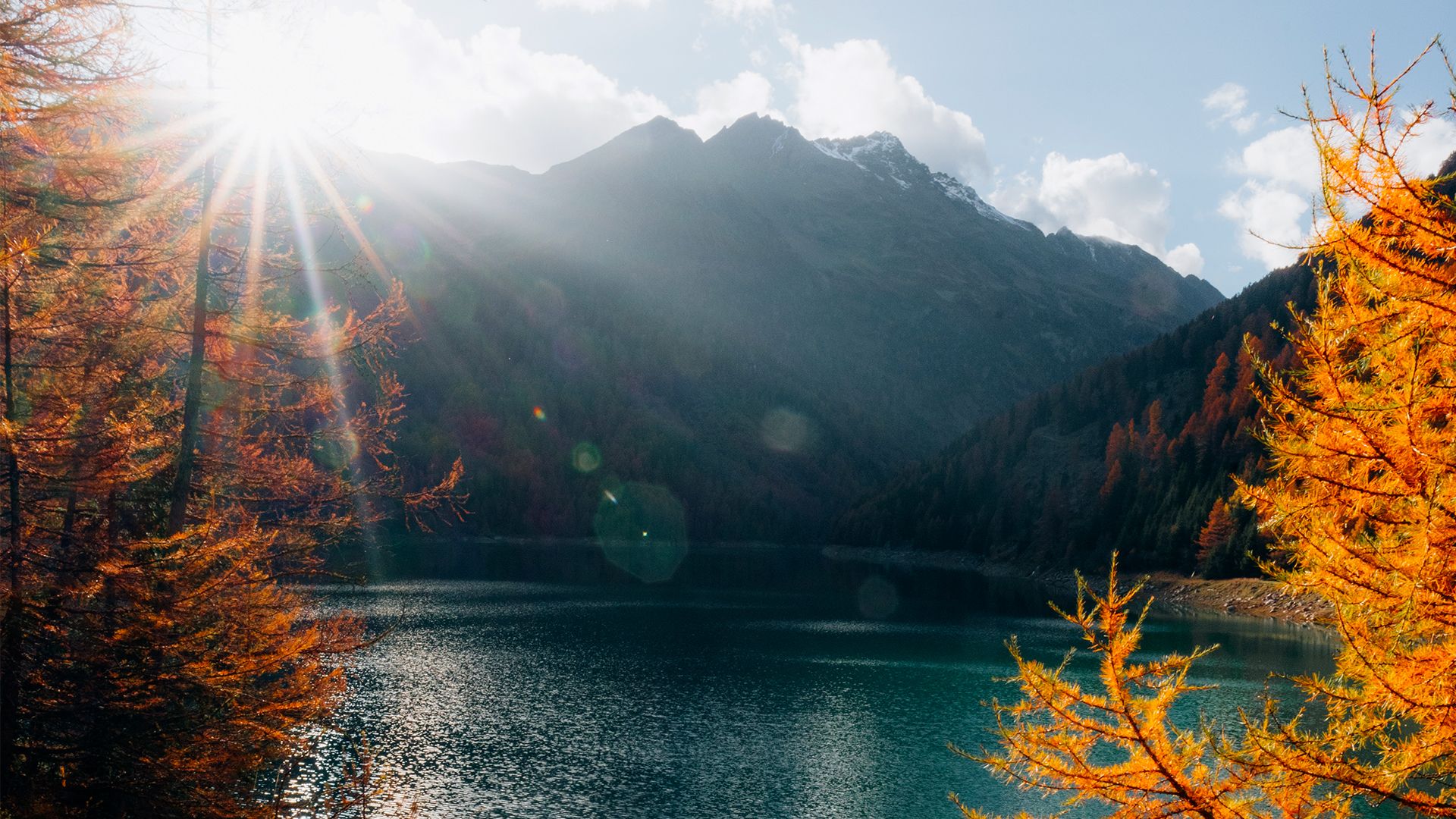
Prolonging the summer – colourful hikes through Trentino in Italy
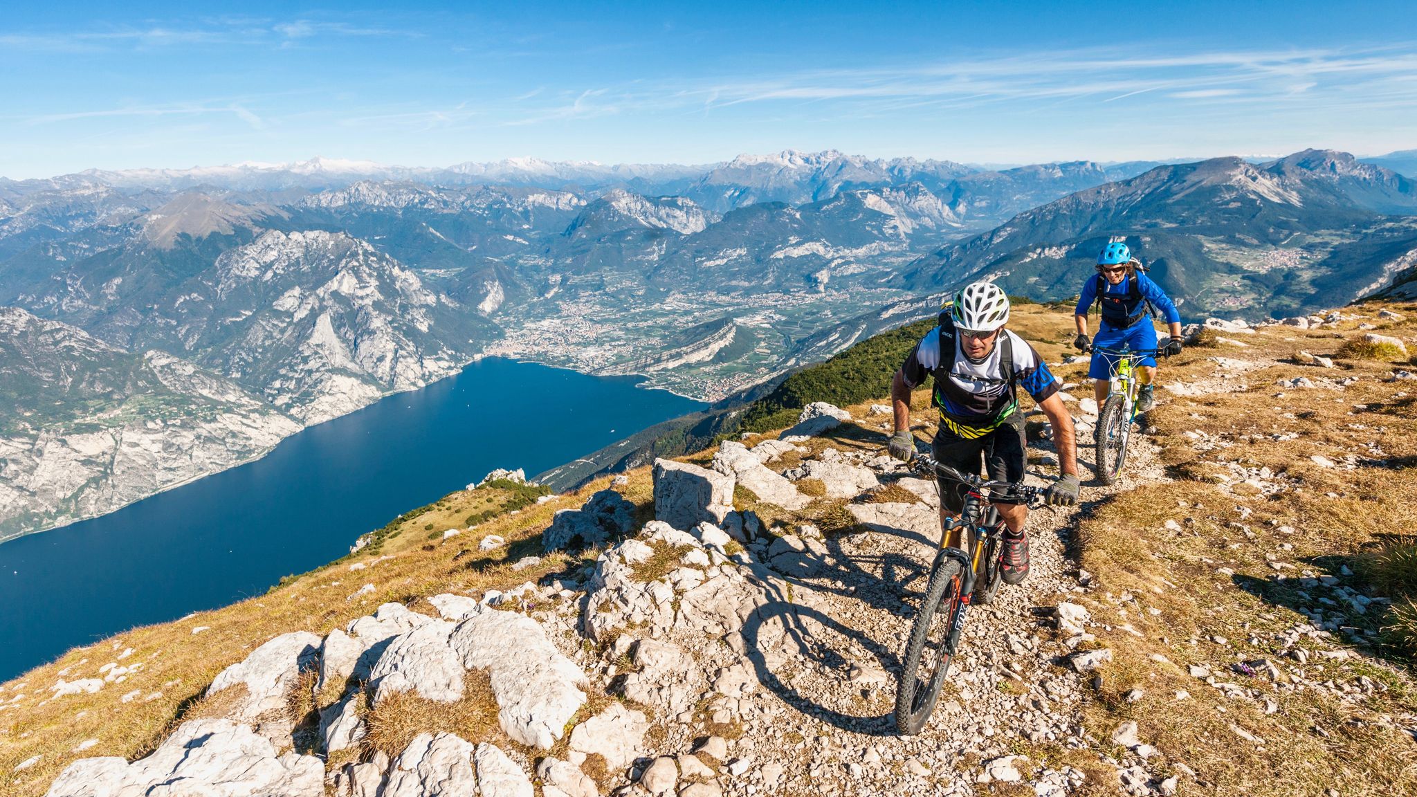
Mediterranean bike tours in alpine altitudes
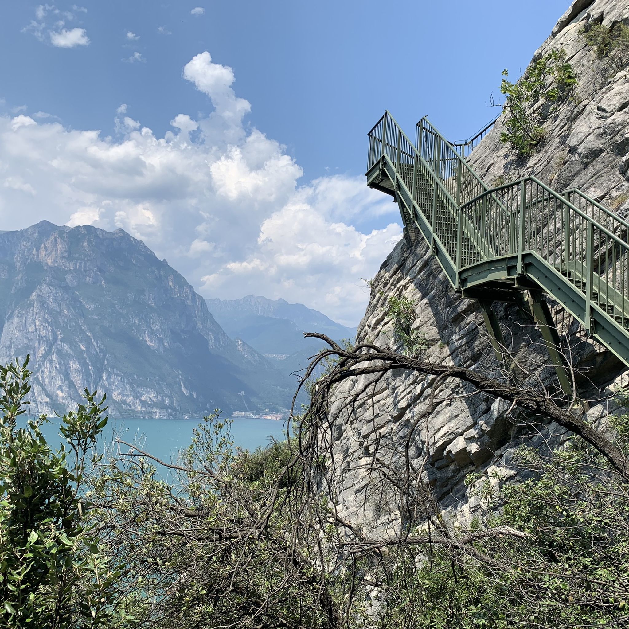
Hiking around Brentonico
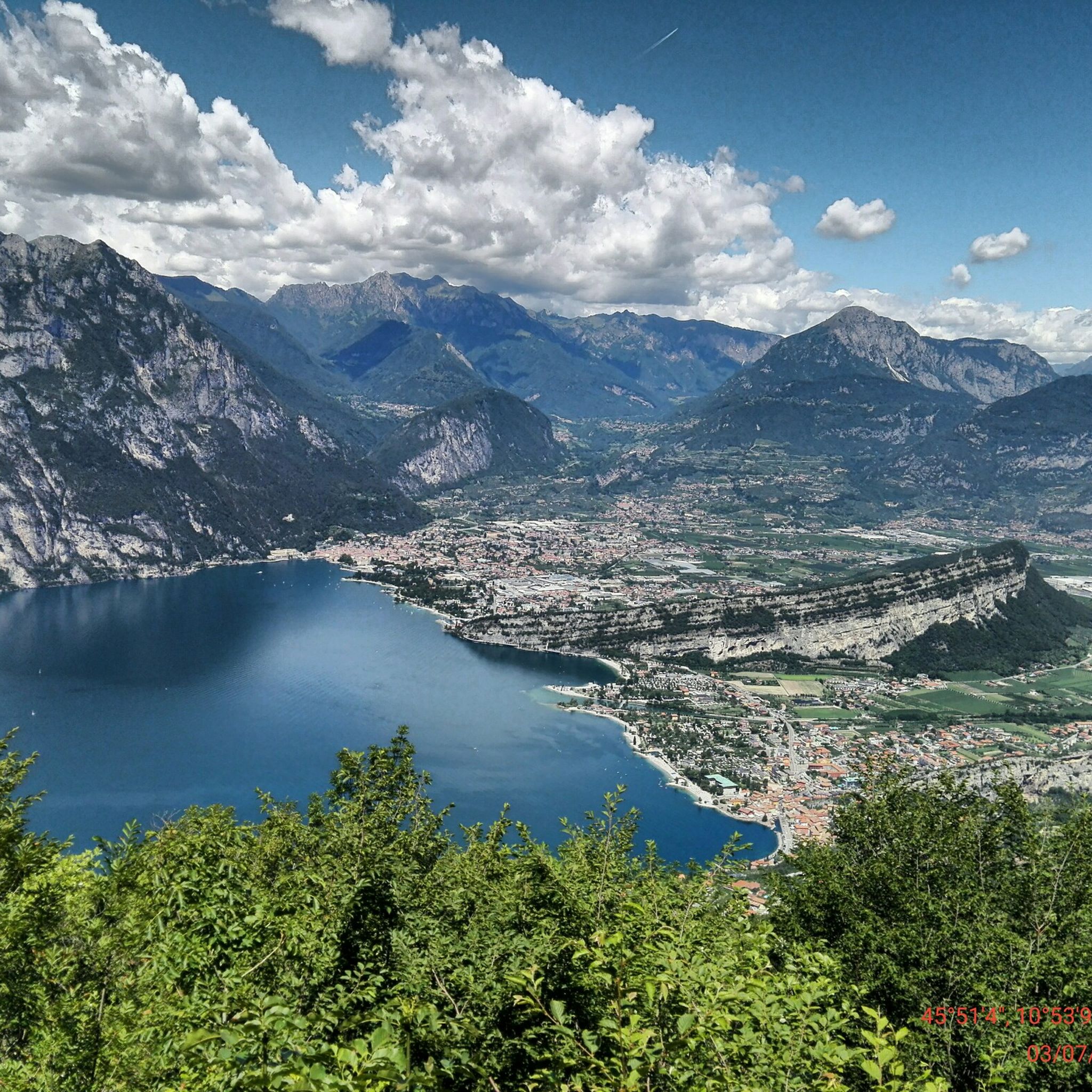
MTB Trails around Brentonico

Mountain Hikes around Brentonico
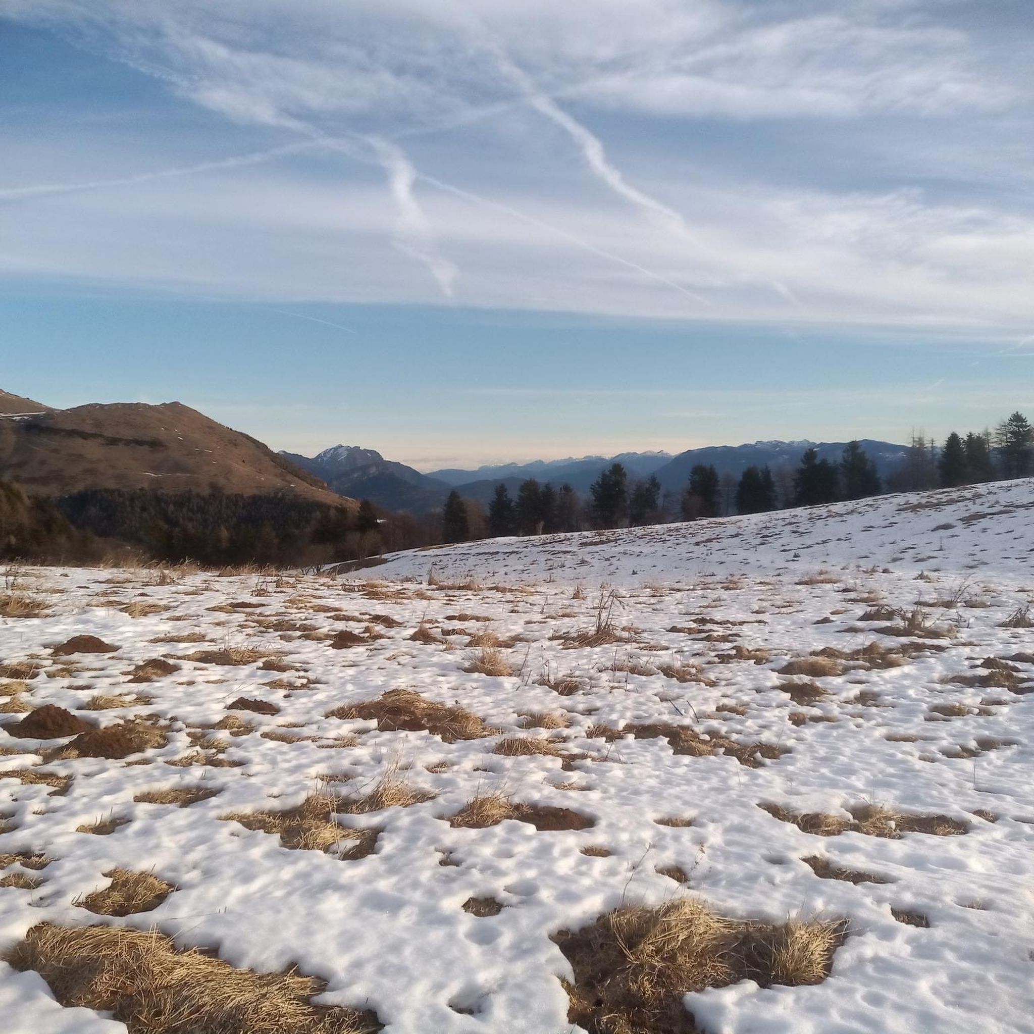
Road Cycling Routes around Brentonico
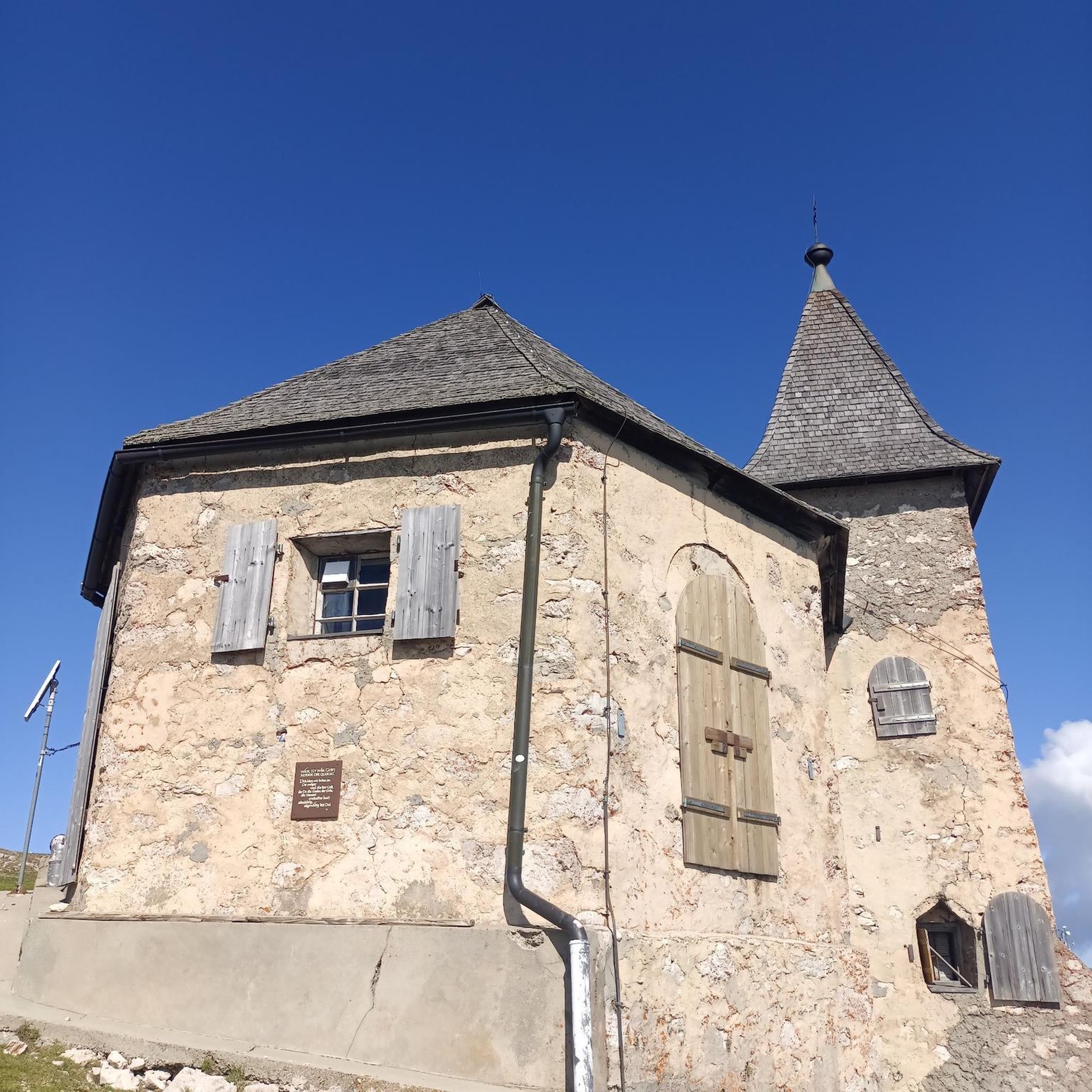
Gravel biking around Brentonico
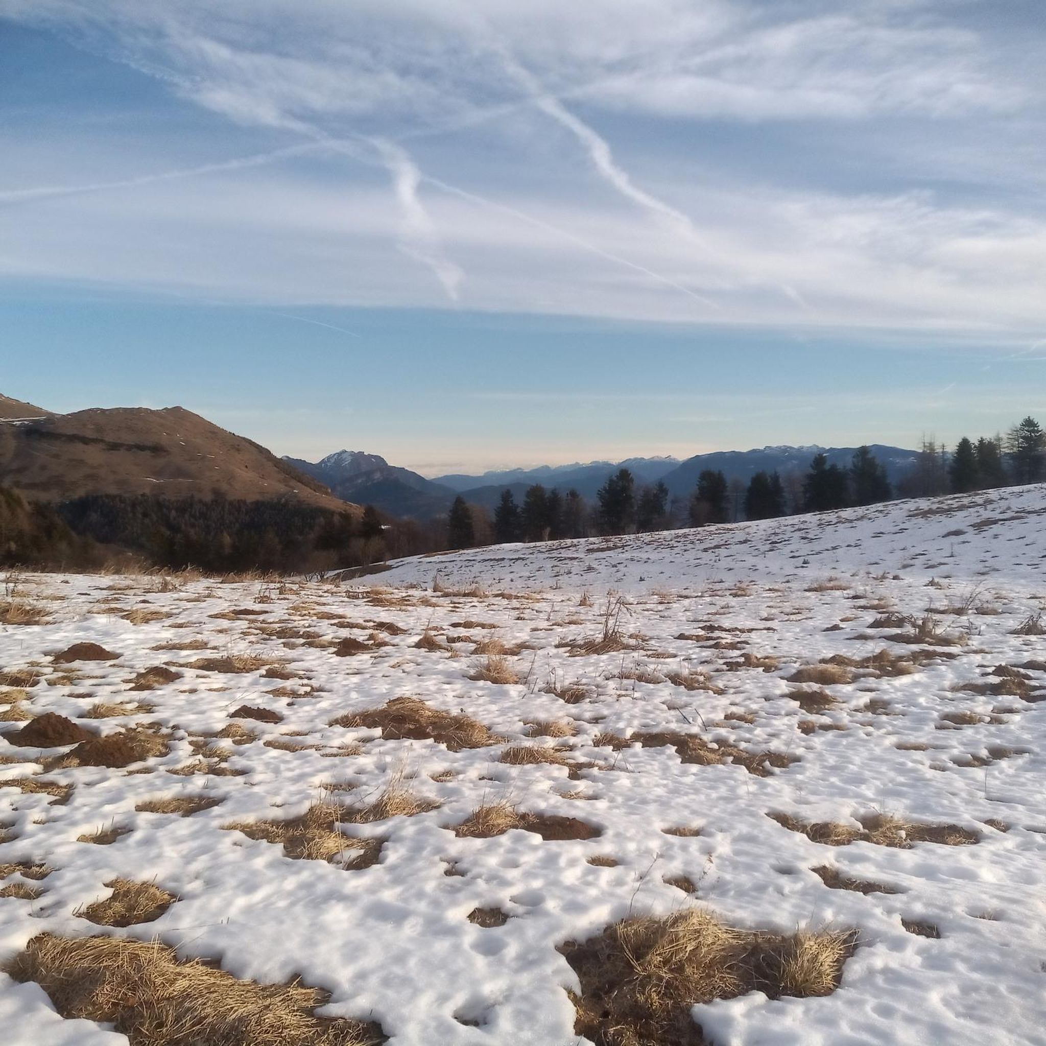
Running Trails around Brentonico
Other adventures around Brentonico

Tips from the Community

Starting point for various routes
0
0
Fountain along the mountain pasture road
0
0
One of the most beautiful sections of the mountain pasture trail of Monte Baldo
0
0
Challenging climb towards Chalet Novezza
0
0
Impressive Italian military road from the Great War overlooking the Adige valley
0
0
Challenging uphill section on asphalt. Views over the entire east side of Monte Baldo
0
0
Spettacolare tratto di strada militare italiana della Grande Guerra costruita a strapiombo sul versante est della montagna. Il muro a secco esterno del primo tornante in salita è un'opera d'arte.
0
0

The view is breathtaking. The lake is majestic and the view is clear on the peaks of the Dolomites
0
0
Frequently Asked Questions
What kind of terrain and elevation changes can I expect on touring cycling routes around Brentonico?
Brentonico is situated on a high plateau of Monte Baldo, with elevations ranging from 500 to over 2,000 meters above sea level. This means you can expect significant elevation changes, with routes often featuring long climbs and demanding sections. The terrain varies from alpine meadows and extensive chestnut groves to rocky peaks, offering diverse cycling conditions and challenging ascents.
Are there any easy or beginner-friendly touring cycling routes in Brentonico?
While many routes in Brentonico are rated as difficult, the region does offer options for less strenuous rides. For example, the "Family Bike Polsa Vignola" is an easy dirt road tour suitable for families with children, exploring areas like Monte Vignola. Overall, there are 5 moderate routes available, though specific beginner-rated touring cycling routes are less common.
Which touring cycling routes offer the best panoramic views of Lake Garda or the Dolomites?
Many routes around Brentonico provide breathtaking panoramic views. The region's elevated position offers unparalleled vistas of Lake Garda to the west and the majestic Dolomites to the northeast. The challenging ascent to Monte Altissimo, reaching over 2000 meters, follows a historic military road and provides some of the most spectacular panoramic points in the Alps. You can also find stunning views from highlights like View of Lake Garda or View of Lake Garda from Monte Baldo.
What natural features or landmarks can I see along the touring cycling routes?
Brentonico is known as the "Garden of Italy" due to its rich biodiversity, especially within the Monte Baldo Natural Park. Along the routes, you might encounter diverse flora in areas like Val del Parol, which boasts red lilies, small gentians, and blue orchids. The magnificent chestnut groves are particularly picturesque in autumn. Historic paths like the "Corno della Paura" also offer insights into World War I history. For specific viewpoints, consider View from Ponale Alto Belvedere of Lake Garda.
Are there any circular touring cycling routes available?
Yes, Brentonico offers several excellent circular touring cycling routes. A highly recommended option is the "Anello di Brentonico," which traverses woods and huts, offering splendid views. Other popular loops include Rifugio Graziani – Rifugio Graziani loop from Sorne and Graziani Hut – Road to Passo Cavallo loop from Lago di Prà della Stua, both offering challenging rides with rewarding scenery.
What is the best time of year to go touring cycling in Brentonico?
The Monte Baldo region, including Brentonico, is ideal for cycling from spring through autumn. The warmer months offer pleasant temperatures for exploring the diverse terrain. Autumn is particularly scenic with the changing colors of the chestnut groves. Given the elevation, it's advisable to check local weather conditions, especially for higher altitude routes, as conditions can vary.
What do other touring cyclists enjoy most about cycling in Brentonico?
The area is highly rated by the komoot community, with an average score of 4.6 stars from over 75 reviews. Cyclists frequently praise the challenging ascents, the expansive panoramic views of Lake Garda and the Dolomites, and the diverse natural landscapes, from alpine meadows to chestnut groves. The variety of routes, catering to different abilities, is also a significant draw.
Are there any challenging touring cycling routes for experienced riders?
Absolutely. Brentonico is well-known for its challenging routes, with 20 out of 25 touring cycling routes rated as difficult. Routes like Dossioli - Prà Alpesina – Malga Alpo Water Fountain loop from Polsa and Rifugio Graziani – Rifugio Graziani loop from Brentonico feature significant elevation gains and demanding sections, perfect for experienced touring cyclists seeking a rigorous workout and stunning rewards.
Can I connect to Lake Garda from Brentonico by bike?
Yes, several routes connect Brentonico to Lake Garda. You can find options that allow cyclists to descend from the mountains to the lake shore. An example is a cross-country route from Monte Baldo, passing through Brentonico and Loppio, down to Torbole. Another difficult enduro itinerary starts from Tratto Spino, goes through Brentonico, and ends in Malcesine.
Are there any cultural or historical attractions to visit near the cycling routes?
Beyond cycling, Brentonico offers cultural insights. The Palazzo Eccheli-Baisi hosts a botanical garden showcasing Monte Baldo's plant varieties and a fossil museum. The town itself retains its historical appearance with elegant palazzos and ancient churches. Additionally, routes like the "Corno della Paura" follow old military roads from World War I, offering historical interest alongside natural beauty.
Is there information about parking for touring cyclists in Brentonico?
While specific parking locations for touring cyclists are not detailed in the route descriptions, Brentonico is a well-established outdoor destination. It is generally advisable to look for designated parking areas within the main town or near popular trailheads. For more detailed information on parking facilities, you might consult local tourist information resources such as Visit Trentino or Visit Rovereto.
Are there any cafes or places to stop for refreshments along the touring cycling routes?
The Monte Baldo region, including Brentonico, has various rifugios (mountain huts) and small villages along its routes. These often provide opportunities for refreshments and meals. While specific cafes on every route are not listed, popular destinations like Rifugio Graziani are common stopping points. Exploring the charming towns and villages will also reveal local eateries.
Most popular routes around Brentonico
Most popular attractions around Brentonico

Get inspired with the komoot mobile app


Explore more
Browse the best Cycling routes in other regions.
