The best road cycling routes around Sessa Aurunca
4.4
(26)
439
riders
23
rides
Road cycling around Sessa Aurunca is characterized by its diverse topography, influenced by the extinct Roccamonfina volcano. This volcanic origin creates a hilly terrain with varying elevation changes, offering challenging ascents and panoramic views. The region also features a regional nature park and is located about 9 miles (15 km) from the Tyrrhenian Sea, providing both inland and coastal cycling environments. The River Garigliano further contributes to the natural landscape, forming a boundary between regions.
Best road cycling routes around Sessa Aurunca
- The most popular road cycling route is Sessa Aurunca loop from Sessa Aurunca, a 28.7 miles (46.2 km) trail that takes about 1 hour 59 minutes to complete. This moderate route features over 1,055 feet (322 m) of elevation gain.
- Another top favourite among local road cyclists is Garigliano loop from Sessa Aurunca - Roccamonfina - Cellole, a moderate 41.5 miles (66.8 km) path. This route explores the River Garigliano area and includes nearly 1,962 feet (598 m) of climbing.
- Local road cyclists also love the Sessa Aurunca – Roman Theater of Sessa Aurunca loop from Sessa Aurunca, a 9.3 miles (15.0 km) trail leading through the town and past historical sites, often completed in about 48 minutes.
- Road cycling around Sessa Aurunca is defined by volcanic hills, coastal plains, and the River Garigliano. The network offers options for different ability levels, from easy loops to more demanding climbs.
- The routes in Sessa Aurunca are highly rated by the komoot community with an average score of 4.1 stars from over 19 reviews. More than 400 road cyclists have used komoot to explore Sessa Aurunca's varied terrain.
Last updated: July 22, 2026
4.6
(8)
88
riders
73.4km
03:14
430m
430m
Moderate road ride. Good fitness required. Some segments of this route may be unpaved and difficult to ride.
3.7
(3)
35
riders
50.7km
02:13
340m
340m
Moderate road ride. Good fitness required. Mostly well-paved surfaces and easy to ride.

Sign up for free
5.0
(1)
38
riders
15.0km
00:49
220m
220m
Easy road ride. Great for any fitness level. Mostly well-paved surfaces and easy to ride.
5.0
(5)
75
riders
Moderate road ride. Good fitness required. Mostly well-paved surfaces and easy to ride.
5.0
(1)
19
riders
123km
05:46
1,180m
1,180m
Hard road ride. Very good fitness required. Mostly well-paved surfaces and easy to ride.
Get access to more routes and recommendations from other explorers.
Sign up for free
Already have an account?
Our route recommendations are based on thousands of hikes, rides, and runs completed by other people on komoot.
Start today with a free account
Your next adventure awaits.
Login or Signup
Tips from the Community


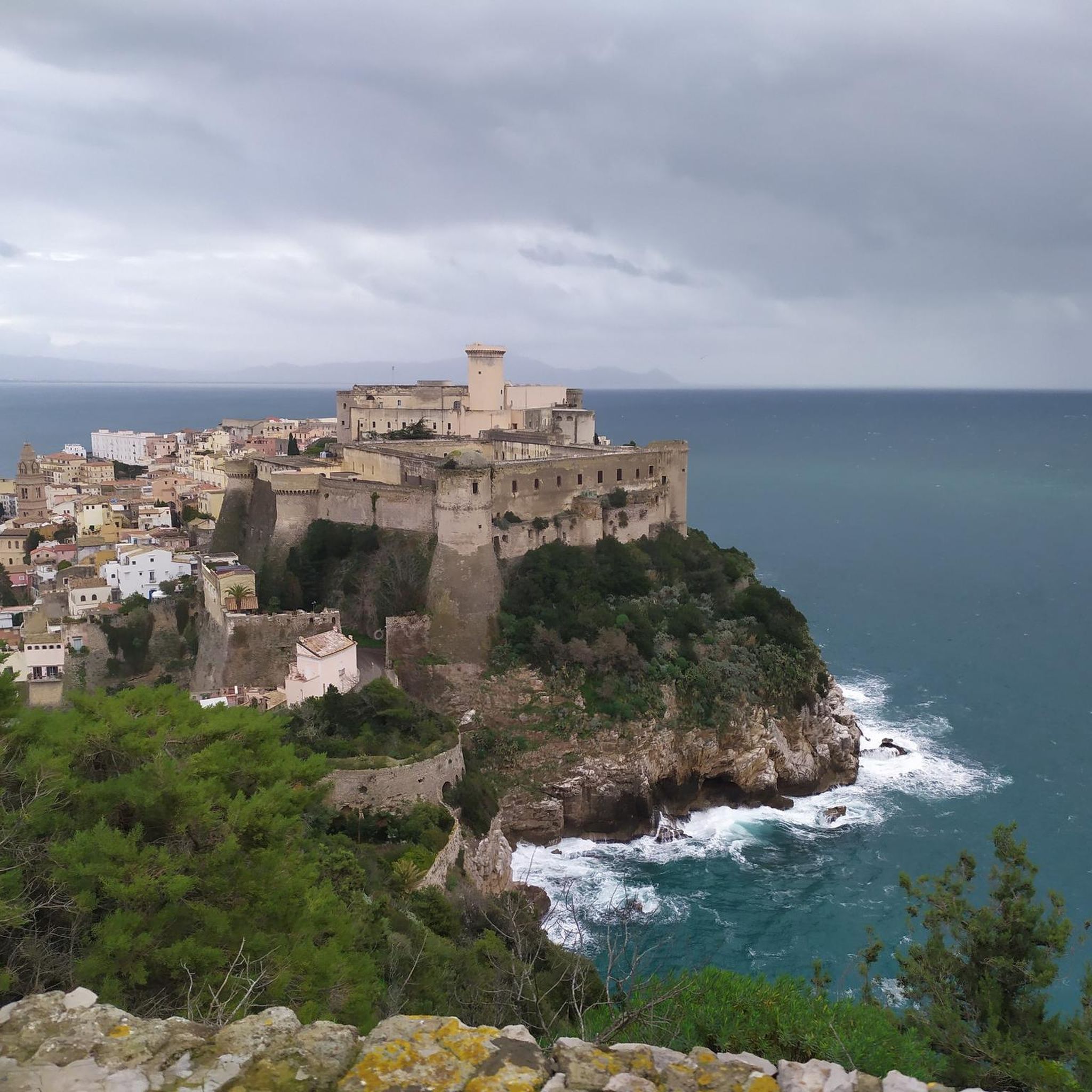
The Castle was built by Frederick II of Swabia between 1223 and 1226. The Castle had an important strategic function: from here one accessed the Kingdom of Sicily by sea. Frederick II's Castle remained standing for a few years because it was demolished during a revolt. In 1266, the new lord of Southern Italy, Charles I of Anjou, occupied Gaeta and rebuilt a fortress on the ruins of Frederick II's Castle facing the sea. A decisive year in the history of the Castle is 1435 because the Spaniard Alfonso V of Aragon established his seat and that of his court here, and from Gaeta began his expansion into the Kingdom of Naples. From the following year, Alfonso began the expansion and fortification works of the building. The French and the Spaniards long contested Gaeta, but the city and its Castle always remained in Spanish hands until the beginning of the eighteenth century. In 1734, the Kingdom of Naples came under the control of Charles III of Bourbon, who immediately began the restoration works of the Castle of Gaeta.
0
0

excellent yes it goes well in the Gulf of Gaeta
0
0

It is the destination of the evocative Cammino di San Benedetto which leads from his hometown of Norcia to the abbey of Montecassino which houses his tomb, passing through Subiaco where the Saint lived for a long time and where the monastery of Santa Scolastica and that of the Sacro Speco are located.
2
0

Dam that allows you to pass from one bank to the other
0
0
Passable dam that connects the Lazio shore to the Campania shore
1
0
It can only be visited a couple of Sundays a month.
1
0
It's a shame that the cycle path is not continuous and has not been built along the entire seafront.
0
0
Frequently Asked Questions
How many road cycling routes are available around Sessa Aurunca?
There are over 30 road cycling routes around Sessa Aurunca, offering a variety of options for different skill levels. These include easy, moderate, and difficult trails to explore the region's diverse landscapes.
What kind of terrain can I expect when road cycling in Sessa Aurunca?
The terrain around Sessa Aurunca is quite varied, influenced by the extinct Roccamonfina volcano. You'll find hilly sections with challenging ascents offering panoramic views, as well as coastal plains near the Tyrrhenian Sea and routes along the River Garigliano. This diversity provides options from easy loops to more demanding climbs.
Are there road cycling routes suitable for beginners or those looking for an easy ride?
Yes, Sessa Aurunca offers several easy road cycling routes. For instance, the Sessa Aurunca – Roman Theater of Sessa Aurunca loop is an easy 15 km ride with a moderate elevation gain, perfect for a relaxed exploration of the town and its historical sites.
What are some challenging road cycling routes for experienced riders?
For experienced riders seeking a challenge, the area around Sessa Aurunca provides routes with significant elevation gains. The Cascano – Sessa Aurunca loop, for example, is a moderate 54.2 km route with over 820 meters of climbing, offering a demanding ride through the volcanic hills.
Can I find circular road cycling routes in Sessa Aurunca?
Yes, many of the road cycling routes in Sessa Aurunca are circular, allowing you to start and end in the same location. A popular option is the Sessa Aurunca loop from Sessa Aurunca, a 46.2 km trail that takes you through the local scenery.
What historical or natural landmarks can I see along the road cycling routes?
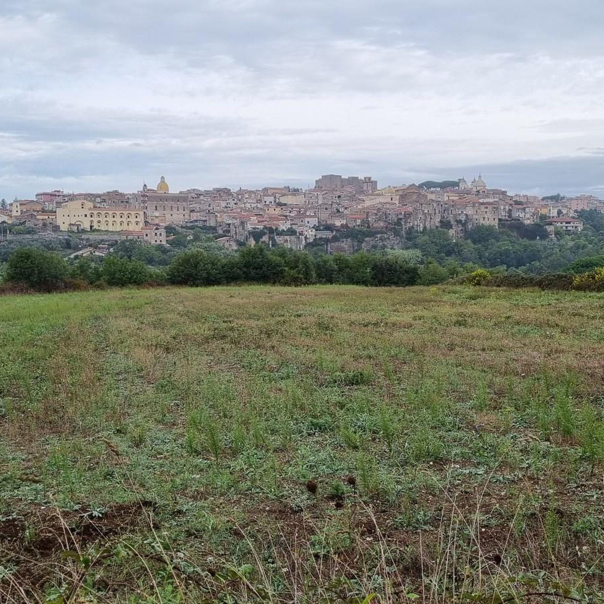
Sessa Aurunca's rich history and diverse landscape mean you can combine cycling with cultural exploration. Routes often pass by sites like the Roman Theater and the Ducal Castle. You might also encounter natural features such as the Conca della Campania Waterfall or the serene Lake Falciano. The Roman Port of Gianola is another historical site worth seeing.
Is Sessa Aurunca part of any long-distance cycling routes?
Yes, Sessa Aurunca serves as a starting point for the Campania itinerary of the Southern Via Francigena, an historic pilgrimage route that welcomes cyclists. This medium-difficulty, two-day cycling route leads through historical towns and scenic landscapes. You can find more information about this route on Italia.it.
What do other road cyclists enjoy most about road cycling in Sessa Aurunca?
The road cycling routes in Sessa Aurunca are highly rated by the komoot community, with an average score of 4.1 stars from over 19 reviews. Cyclists often praise the diverse terrain, from challenging volcanic climbs to scenic coastal and river routes, and the opportunity to explore historical sites along the way.
Are there any routes that explore the River Garigliano area?
Yes, the River Garigliano forms a natural boundary and offers scenic cycling opportunities. The Garigliano loop from Sessa Aurunca - Roccamonfina - Cellole is a moderate 66.8 km path that explores this area, featuring nearly 600 meters of climbing.
What is the best time of year to go road cycling in Sessa Aurunca?
While specific seasonal conditions can vary, the region's Mediterranean climate generally makes spring and autumn ideal for road cycling. These seasons offer pleasant temperatures and less extreme weather, perfect for tackling both the hilly volcanic terrain and coastal routes.
Are there any specific viewpoints or scenic spots along the routes?
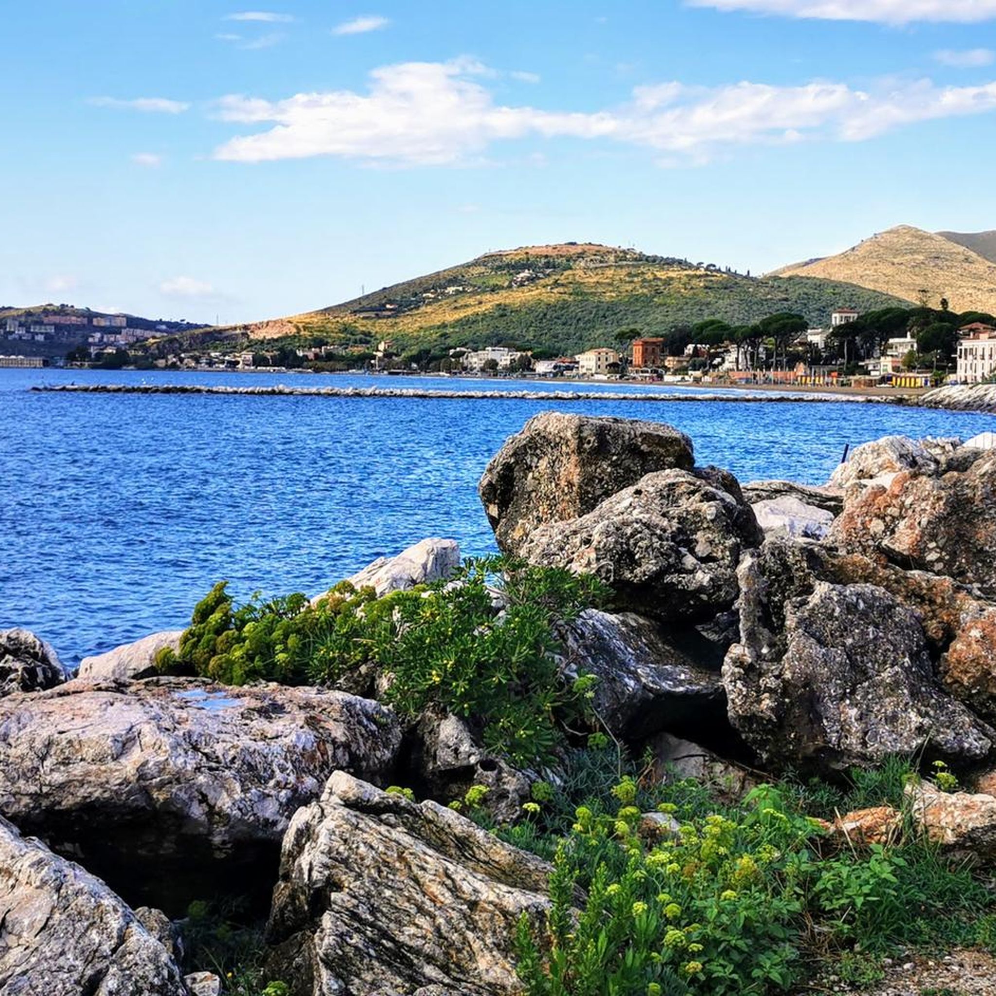
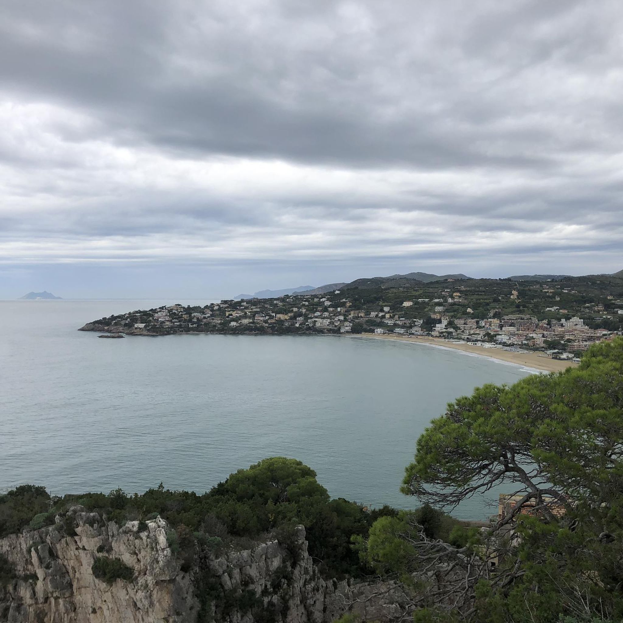
Due to its volcanic origin and proximity to the sea, many routes offer panoramic views. The climbs to areas like Monte Moleta provide expansive vistas of the sea and mountains. You can also find specific viewpoints such as the Great view of Scauri, Formia, Gaeta and the mountains.
What are the road conditions like for cycling in Sessa Aurunca?
Many of the road cycling routes in Sessa Aurunca feature well-paved surfaces, making them suitable for road bikes. However, as with any region, it's always advisable to check local conditions, especially after adverse weather, to ensure a smooth ride.
Most popular attractions around Sessa Aurunca

Get inspired with the komoot mobile app


Explore more
Browse the best Road cycling routes in other regions.
