The best walks and hikes around Sant'Agnello
4.5
(427)
1,738
hikers
19
hikes
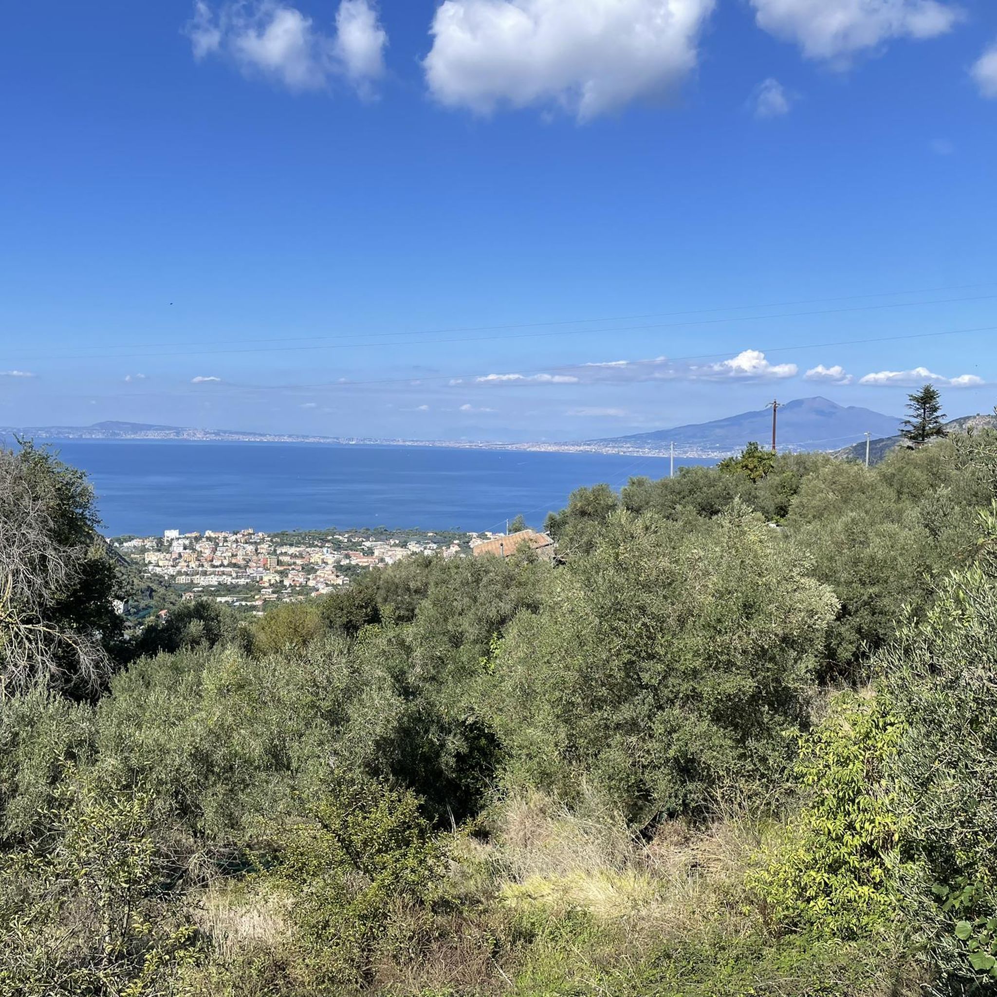
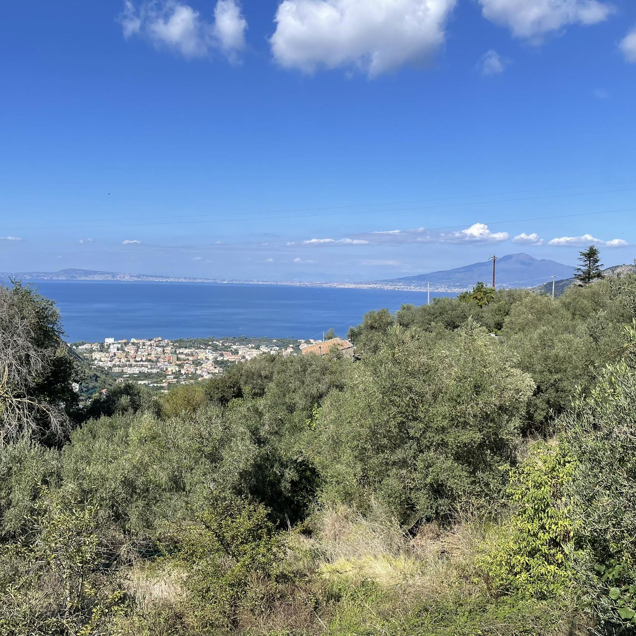
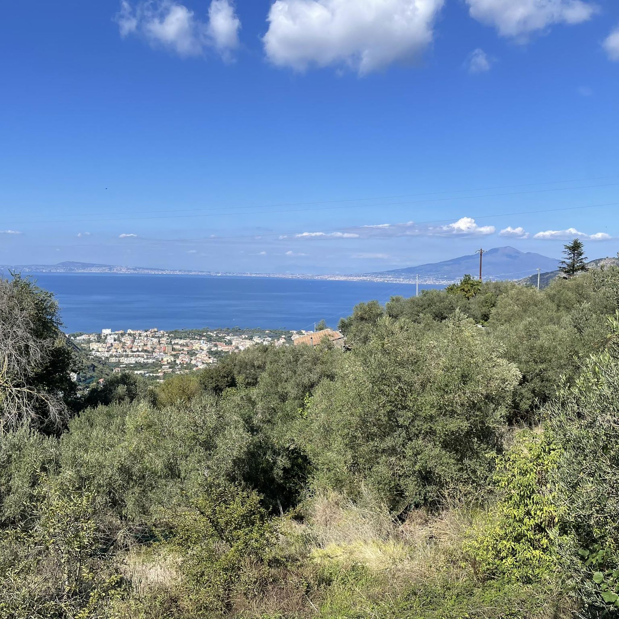
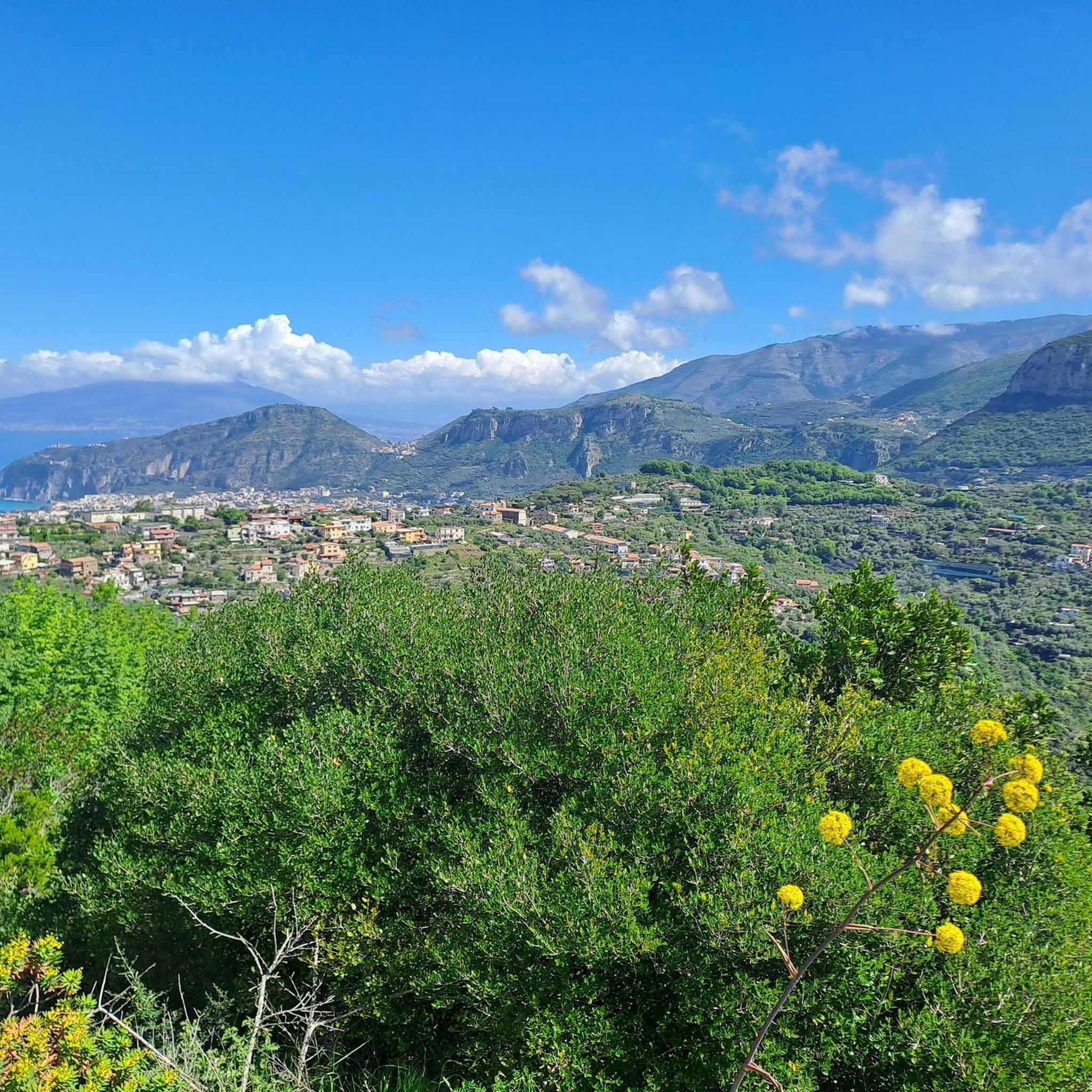
Hiking around Sant'Agnello offers diverse terrain, characterized by dramatic cliffs, rolling hills, and lush citrus groves. The region's unique position on the Sorrento Peninsula provides panoramic views of the Gulf of Naples, Mount Vesuvius, and the Campanian Islands. Ancient trails crisscross the landscape, connecting coastal vistas with inland Mediterranean vegetation.
Best hiking trails around Sant'Agnello
- The most popular hiking route is View of the Sorrento Peninsula – Monte di Torca Oasis loop from Colli di Fontanelle, a 5.7 miles (9.2 km) trail that takes about 3 hours to complete, offering expansive views of the Sorrento Peninsula.
- Another top favourite among local hikers is Monte di Torca Oasis – View of the Sorrento Peninsula loop from Area Marina Protetta Punta Campanella, a moderate 4.6 miles (7.5 km) path. This route provides access to the Monte di Torca Oasis and further views of the peninsula.
- Local hikers also love the Sorrento Cathedral – View of Mount Vesuvius loop from Sorrento, a 3.6 miles (5.9 km) trail leading through urban and coastal areas, often completed in about 1 hour 30 minutes.
- Hiking around Sant'Agnello is defined by coastal paths, panoramic sea views, and trails through citrus groves. The network offers options for different ability levels, from easy strolls to more challenging ascents.
- The routes in Sant'Agnello are highly rated by the komoot community with an average score of 4.5 stars from over 300 reviews. More than 1,400 hikers have used komoot to explore Sant'Agnello's varied terrain.
Last updated: October 25, 2026
4.7
(42)
176
hikers
Moderate hike. Good fitness required. Mostly walkable paths. Sure-footedness required.
4.3
(7)
25
hikers
Hard hike. Good fitness required. Sure-footedness, sturdy shoes and alpine experience required.

4.8
(9)
35
hikers
Moderate hike. Good fitness required. Mostly walkable paths. Sure-footedness required.
44
hikers
5.76km
01:30
40m
40m
Easy hike. Easily walkable paths.
4.3
(4)
39
hikers
6.77km
01:49
80m
80m
Easy hike. Easily walkable paths.
Get access to more routes and recommendations from other explorers.
Already have an account?
Our route recommendations are based on thousands of hikes, rides, and runs completed by other people on komoot.
Start today with a free account
Your next adventure awaits.
Tips from the Community

A beautiful old town with a view of the Versus.
0
0

The old town of Sorrento is a popular and frequent tourist attraction.
26
0

Square and church of Sant Antonio
1
0

Pretty little town with a harbor and beautiful views of Vesuvius.
5
1

At the "La Antina" structure (private property) it is possible to take a moment's break and enjoy the view of the "Sentiero delle Sirenuse".
1
0
Along the Sirenuse path (part of the Alta Via dei Monti Lattari 7 path) you come across very varied vegetation including splendid olive groves.
1
0
It is a hill with a pointed shape, hence the name "Pizzitiello", from which you can enjoy splendid views of the coast below. When proceeding in the direction of Torca the descent, between steps and rocks, can be treacherous as is the climb in the opposite direction. Trekking clothing, sturdy shoes and a minimum of mountaineering experience are necessary.
1
0
Li Galli, also known as the Sirene Archipelago or Le Sirenuse, is an archipelago belonging to the municipality of Positano (SA), located a few kilometers south of the Sorrento peninsula and made up of three islands: Gallo Lungo, La Rotonda and Dei Briganti north of the Rotonda [ Info: https://it.wikipedia.org/wiki/Li_Galli The path must be followed with suitable trekking clothing.
1
0
Frequently Asked Questions
How many hiking trails are available around Sant'Agnello?
Sant'Agnello offers a selection of nearly 20 hiking trails, catering to various preferences and skill levels. These routes explore the region's diverse landscapes, from coastal paths to inland hills.
Are there family-friendly hiking options in Sant'Agnello?
Yes, Sant'Agnello has several easy trails suitable for families. For instance, the trail to Picco Sant'Angelo is about a kilometer long with a low inclination, making it suitable for a less strenuous walk. Overall, there are 8 easy routes available in the area.
What kind of views can I expect on hikes around Sant'Agnello?
Hikers in Sant'Agnello can expect breathtaking views where the sky meets the sea, overlooking the Gulf of Naples, Mount Vesuvius, and the picturesque Campanian Islands. Many trails also offer glimpses of the Amalfi Coast and the famous Li Galli islets. You'll also find trails winding through lush citrus groves and Mediterranean flora.
Are there any circular walks available in Sant'Agnello?
Yes, many of the trails around Sant'Agnello are circular. For example, you can enjoy the View of the Sorrento Peninsula – Monte di Torca Oasis loop from Colli di Fontanelle, or the View of the Bay of Naples – Parco Lauro loop from Sant'Agnello, both offering diverse scenery.
What are some notable landmarks or natural features to see along the trails?
The region is rich in natural beauty and interesting sights. Along various trails, you might encounter stunning viewpoints like the View of the Amalfi Coast and Positano, or natural monuments such as The Pinnacle (Il Pinnacolo) on the Sentiero degli Dei. The area also features unique caves like Grotta del Noglio Access and Swimming Spot.
What do other hikers enjoy most about hiking in Sant'Agnello?
The hiking routes in Sant'Agnello are highly rated by the komoot community, with an average score of 4.5 stars from over 300 reviews. Hikers often praise the diverse terrain, the stunning coastal paths, and the panoramic sea views that define the region's trails.
Is it possible to reach hiking trails using public transport in Sant'Agnello?
Sant'Agnello is well-connected, and many trailheads are accessible via public transport, particularly within the town and to nearby areas like Sorrento. For specific routes, checking local bus schedules or train connections to the starting points is recommended.
Are there any dog-friendly hiking trails in Sant'Agnello?
Many trails in the Sant'Agnello area are generally dog-friendly, allowing you to explore with your canine companion. However, it's always advisable to keep dogs on a leash and be mindful of local regulations, especially in nature reserves or more populated areas. Always carry water for your dog.
When is the best time of year to go hiking in Sant'Agnello?
The best time to hike in Sant'Agnello is typically during the spring (April-June) and autumn (September-October) when the weather is mild and pleasant, and the landscapes are vibrant. Summers can be hot, while winters are generally mild but may have more rainfall.
Are there any permits required for hiking on the Sorrento Peninsula?
Generally, no specific permits are required for hiking on most public trails across the Sorrento Peninsula. However, for certain protected areas or specific sections of trails, it's always good practice to check with local tourism offices or park authorities for any updated regulations or access requirements. You can find more information on the local tourism website: santagnellotourism.com.
What is the difficulty level of hikes in Sant'Agnello?
Sant'Agnello offers a range of difficulty levels. There are 8 easy routes, 8 moderate routes, and 3 more difficult trails. This variety ensures options for casual walkers and more experienced hikers alike, with terrains ranging from gentle paths through citrus groves to more challenging ascents on cliffs.
Most popular attractions around Sant'Agnello

Get inspired with the komoot mobile app


Explore more
Browse the best Hikes in other regions.
