The best walks and hikes around Uerkheim
4.6
(427)
3,447
hikers
16
hikes
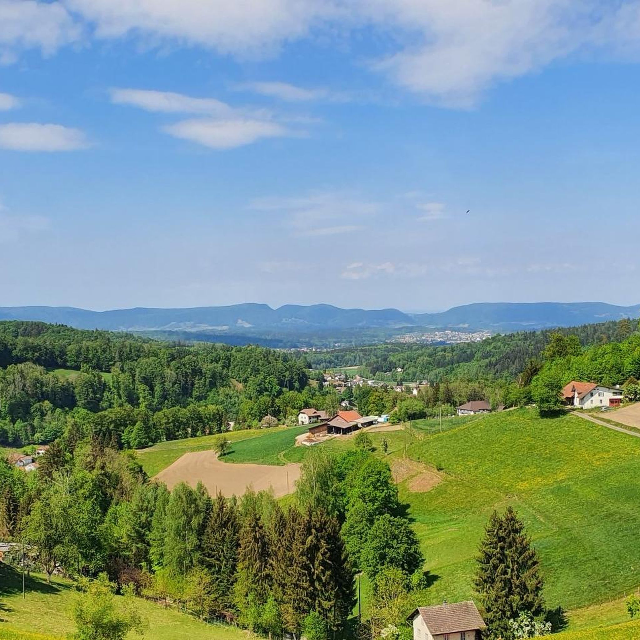
Hiking around Uerkheim offers varied landscapes, characterized by pleasant forest areas and valleys such as the Uerke valley. The region provides accessible paths suitable for various fitness levels, ranging from gentle walks to more demanding ascents. Hikers can explore diverse terrain, including natural features like the Uerkenweiher Nature Reserve. The trails often lead through distinctive forest areas, providing a mix of scenery.
Best hiking trails around Uerkheim
- The most popular hiking route is View from Stübisberg – Scenic view of…
Last updated: June 27, 2026
4.0
(3)
11
hikers
11.7km
03:14
200m
200m
Moderate hike. Good fitness required. Easily-accessible paths. Suitable for all skill levels.
5.0
(1)
11
hikers
8.93km
02:33
210m
210m
Moderate hike. Good fitness required. Easily-accessible paths. Suitable for all skill levels.

Sign up for free
7
hikers
8.80km
02:33
230m
230m
Moderate hike. Good fitness required. Easily-accessible paths. Suitable for all skill levels.
7
hikers
7.55km
02:04
110m
110m
Moderate hike. Good fitness required. Easily-accessible paths. Suitable for all skill levels.
8
hikers
5.74km
01:37
120m
120m
Easy hike. Great for any fitness level. Easily-accessible paths. Suitable for all skill levels.
Get access to more routes and recommendations from other explorers.
Sign up for free
Already have an account?
Our route recommendations are based on thousands of hikes, rides, and runs completed by other people on komoot.
Start today with a free account
Your next adventure awaits.
Login or Signup
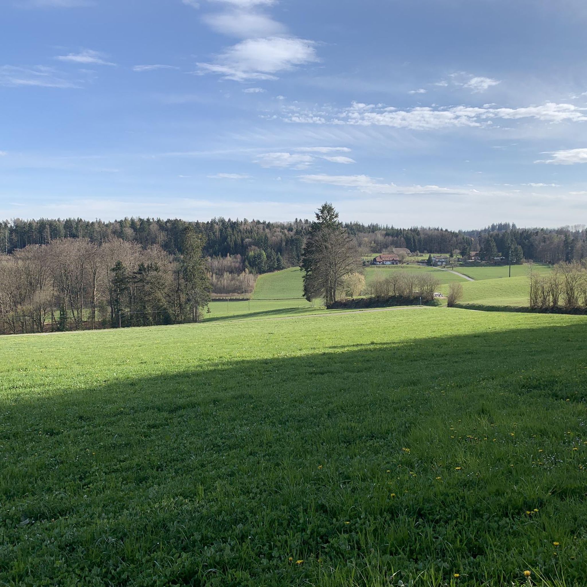
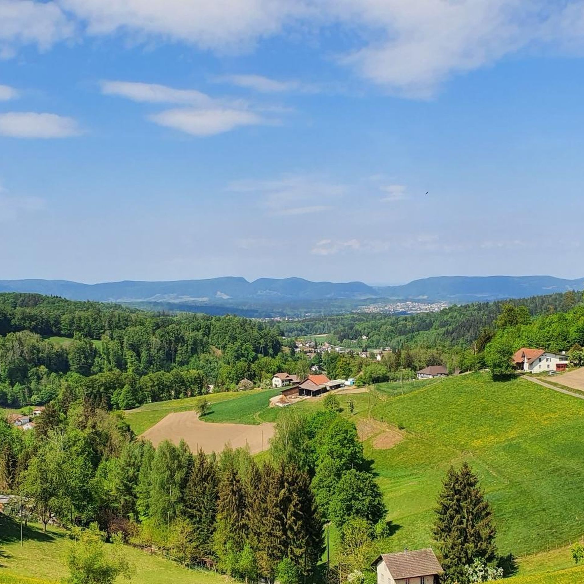
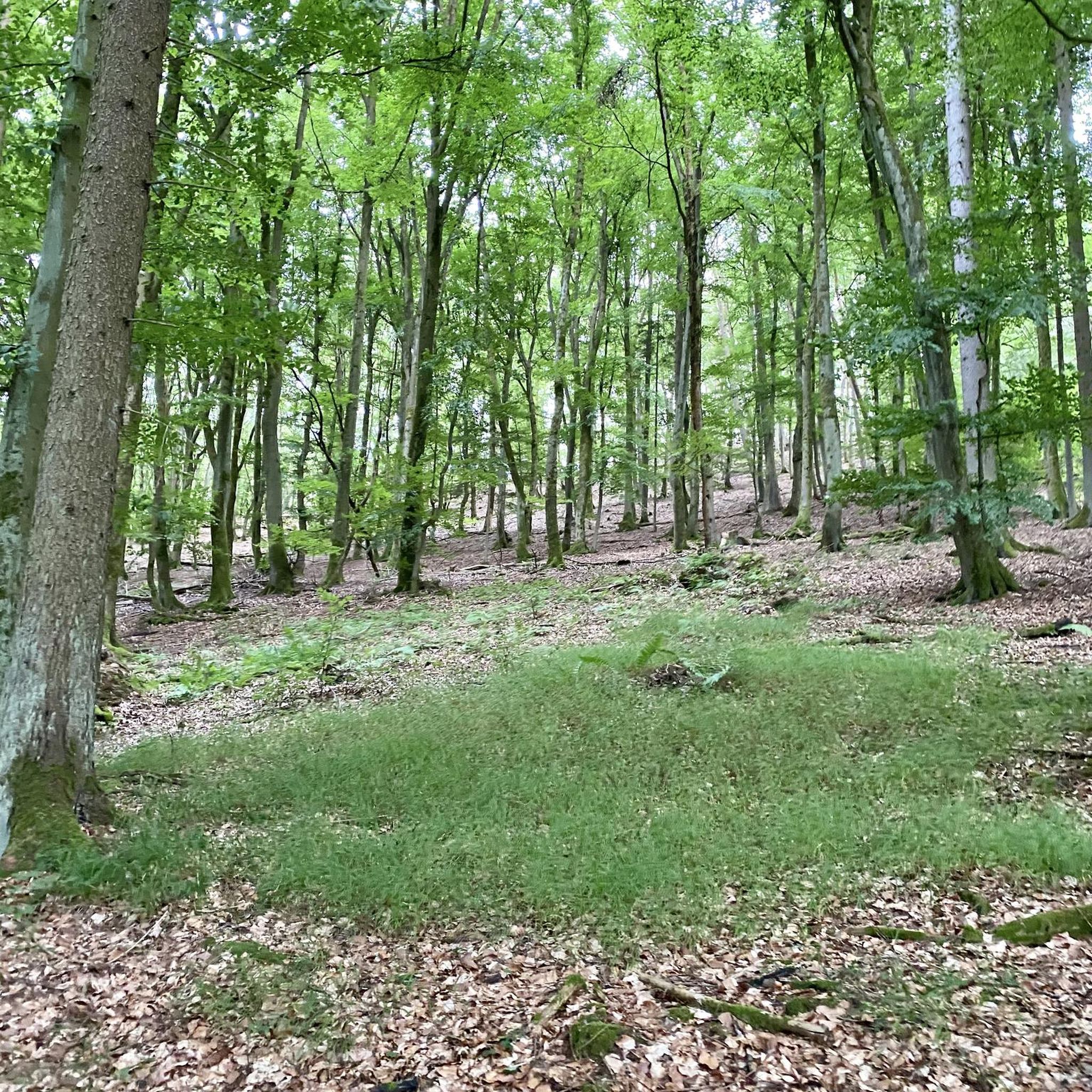
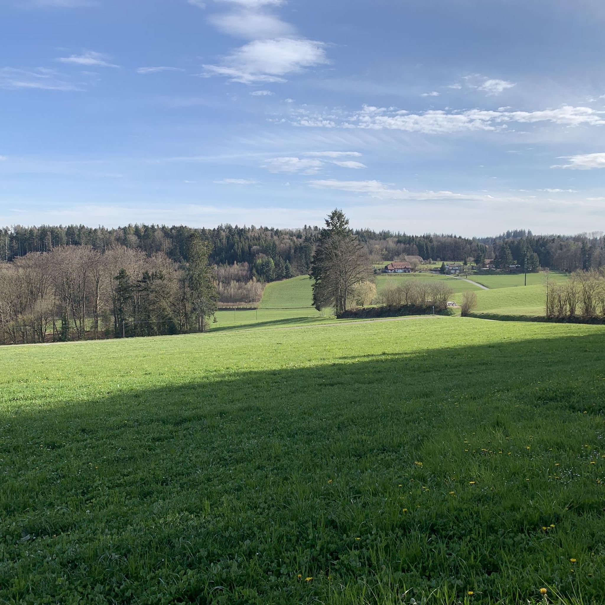
Tips from the Community


Very originally designed fountain in Uerkheim.
0
0

In the curve there is a small cave behind a wall.
0
0

After a great descent, the view of Bottenwil opens up
1
0

Somehow this path has something special about it, really beautiful.
0
0

Great place to enjoy and relax.
0
0
The exterior of the castle is freely accessible, only a few minutes away from the train station!
0
0

Frequently Asked Questions
What types of hiking trails can I find around Uerkheim?
Uerkheim offers a diverse range of hiking trails, from easy paths suitable for casual walkers to more moderate routes. The landscape is characterized by pleasant forest areas and valleys, including the Uerke valley, providing varied scenery. You'll find paths through distinctive forests and natural features like the Uerkenweiher Nature Reserve.
Are there any easy hiking trails suitable for beginners or casual walkers?
Yes, Uerkheim has several easy trails. For a relaxed walk, consider the View from Stübisberg loop from Uerkheim. This route is approximately 5.7 km long and can be completed in about 1 hour 37 minutes, offering gentle ascents and descents.
Are there any circular hiking routes around Uerkheim?
Many of the trails around Uerkheim are designed as loops, allowing you to start and end in the same location. For example, the View from Stübisberg – Scenic view of Bottenwil loop from Uerkheim is a popular circular route, covering 11.7 km with scenic views.
What natural features or landmarks can I see while hiking in Uerkheim?
The Uerkheim area is rich in natural beauty. You can explore the Uerkenweiher Nature Reserve – Uerkner-Quellen-Bad Fountain loop from Uerkheim, which highlights the Uerkenweiher Nature Reserve and its fountain. The region also features pleasant forest areas and the Uerke valley. For other natural highlights nearby, consider visiting the Born Biotope Pond or the Säliflue-Wartburg-Heideloch-Looweiher Nature Reserve.
What do other hikers enjoy most about the trails in Uerkheim?
The hiking trails in Uerkheim are highly rated by the komoot community, with an average score of 4.6 stars from nearly 400 reviews. Hikers often praise the varied terrain, the pleasant forest areas, and the well-maintained paths that cater to different ability levels.
Are there any family-friendly hiking options in Uerkheim?
Yes, the region offers paths suitable for families. Trails with up to two hours and 1,000 feet of elevation gain are generally accessible for all skill levels. The easier routes, such as the View from Stübisberg loop from Uerkheim, are good choices for families looking for a pleasant outdoor experience.
Can I bring my dog on the hiking trails in Uerkheim?
While specific regulations for dogs on every trail are not detailed, the varied landscapes and forest paths around Uerkheim are generally welcoming for dog walkers. It's always advisable to keep dogs on a leash, especially in nature reserves or near wildlife, and to respect local signage.
What is the best time of year to go hiking in Uerkheim?
The region around Uerkheim is enjoyable for hiking throughout much of the year. Spring and autumn offer pleasant temperatures and beautiful scenery with changing foliage. Summer is also suitable, especially in the shaded forest areas. Winter hiking is possible, but some paths might require more appropriate footwear due to potential snow or ice.
Are there any trails that offer historical or cultural points of interest?
While Uerkheim itself is known for its natural landscapes, the broader region of Aargau has historical sites. For example, the View from Stübisberg – Schöftland Castle loop from Uerkheim passes near Schöftland Castle. Additionally, the Pile-dwelling settlement at Bally Park is a nearby historical highlight.
How long do typical hikes around Uerkheim take?
Hikes around Uerkheim vary in length and duration. Easy paths can take around 1.5 to 2 hours, while moderate trails, such as the Atemweg Trail at Godhubelives loop from Uerkheim (8.8 km), typically take about 2.5 to 3 hours. More extensive routes can extend up to 5 hours or more, depending on your pace and fitness level.
Is public transport available to access hiking trails in Uerkheim?
Uerkheim is a municipality in the canton of Aargau, Switzerland, and is generally accessible. While specific public transport stops directly at trailheads are not detailed, Swiss public transport is comprehensive. It is recommended to check local bus or train schedules to Uerkheim and plan your route from there.
Are there any viewpoints or scenic overlooks along the trails?
Yes, several trails offer scenic views. The View from Stübisberg – Scenic view of Bottenwil loop from Uerkheim is specifically highlighted for its scenic views from Stübisberg, providing expansive vistas of the surrounding landscape.
Most popular attractions around Uerkheim

Get inspired with the komoot mobile app


Explore more
Browse the best Hikes in other regions.
