The best walks and hikes around Uhlstädt-Kirchhasel
4.7
(10574)
35,233
hikers
179
hikes
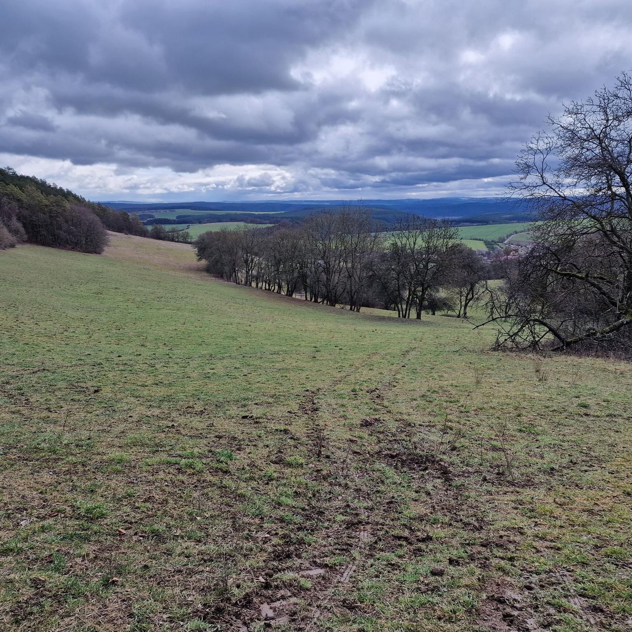
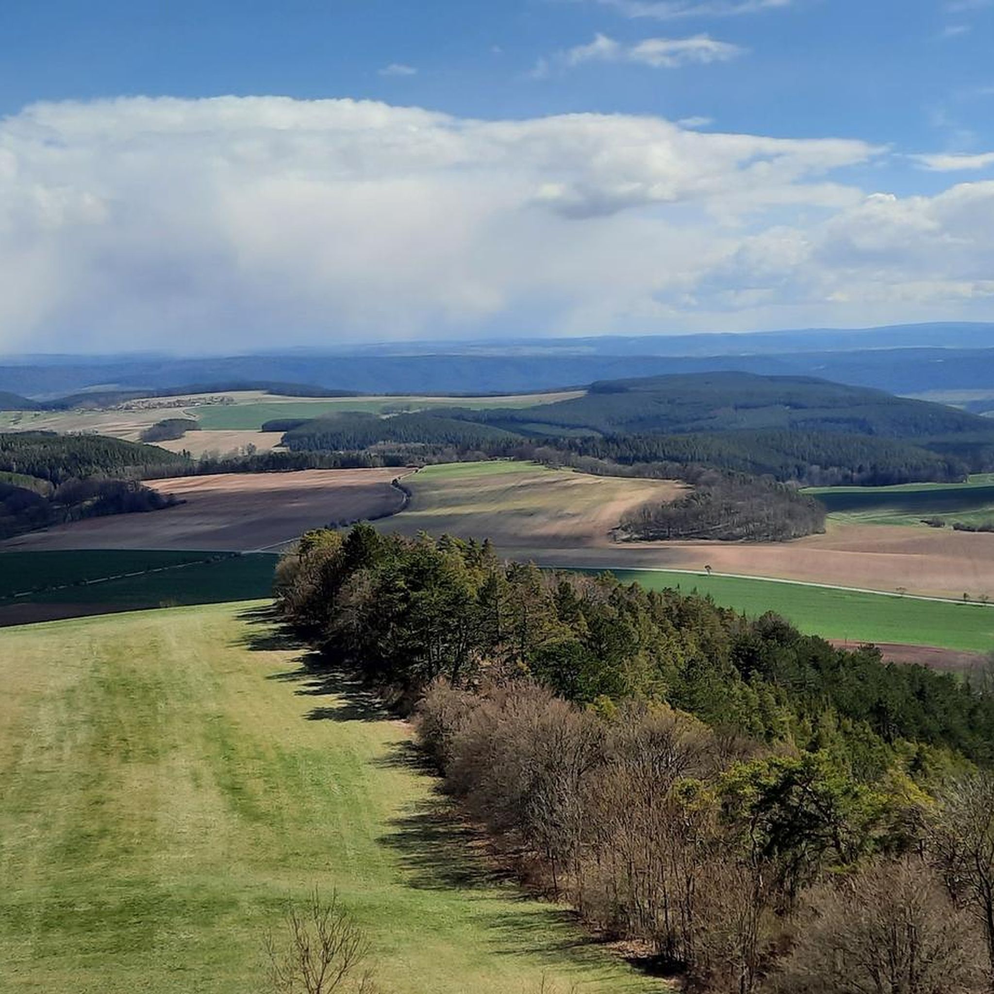
Hiking around Uhlstädt-Kirchhasel offers a diverse landscape characterized by the Saale river valley, rolling hills, and dense woodlands. The region features a mix of moderate ascents and gentle paths, providing varied terrain for outdoor activities. Hikers can explore a network of trails that wind through forests and open areas, often revealing scenic viewpoints. The elevation changes are generally moderate, with no peaks exceeding 200 meters.
Best hiking trails around Uhlstädt-Kirchhasel
- The most popular hiking route is Church Oberhasel loop from…
Last updated: September 29, 2026
4.4
(135)
409
hikers
8.94km
02:33
210m
210m
Moderate hike. Good fitness required. Easily-accessible paths. Suitable for all skill levels.
4.5
(152)
426
hikers
6.66km
02:03
230m
230m
Moderate hike. Good fitness required. Easily-accessible paths. Suitable for all skill levels.

4.5
(98)
324
hikers
8.16km
02:17
160m
160m
Moderate hike. Good fitness required. Easily-accessible paths. Suitable for all skill levels.
4.6
(67)
173
hikers
Moderate hike. Good fitness required. Easily-accessible paths. Suitable for all skill levels.
4.3
(75)
201
hikers
5.06km
01:38
220m
220m
Easy hike. Great for any fitness level. Easily-accessible paths. Suitable for all skill levels.
Get access to more routes and recommendations from other explorers.
Already have an account?
Our route recommendations are based on thousands of hikes, rides, and runs completed by other people on komoot.
Start today with a free account
Your next adventure awaits.
Other adventures around Uhlstädt-Kirchhasel

Tips from the Community

In the middle of the most welcoming forest, slightly hidden next to the path, is the covered resting place and tour stamp point 415.
1
0
Great old church, unfortunately closed. A tiny cemetery around it.
0
0
A bit hidden behind bushes is a nice covered resting place, incl. stamp 417. Collecting stamps is great fun!
0
0
Very beautiful fountain, ideal for refreshing and a bench for a rest is also available. The Touringen stamp 416 can also be found here.
1
0
Nice hut, everything very well maintained. The toilet house a bit off to the side is also very nice😄
1
0
Beautiful hut with a great view. Stamp 413 is there and everything is in good condition.
0
0

Sure-footedness is highly recommended here 🥾🧭
0
0
Frequently Asked Questions
How many hiking trails are available in Uhlstädt-Kirchhasel?
Uhlstädt-Kirchhasel offers a wide network of trails, with over 170 hiking routes recorded on komoot. This includes a diverse range of options, from easy strolls to more challenging paths, ensuring there's something for every hiker.
Are there easy hiking trails suitable for beginners in Uhlstädt-Kirchhasel?
Yes, the region has numerous easy trails perfect for beginners or those seeking a relaxed walk. There are 58 easy routes available, often characterized by gentle paths through forests and along river valleys. An example of a moderate route that is not too strenuous is the Saalleiten Discovery Trail – Douglas Fir on the Saalleiten Trail loop from Uhlstädt, which offers a pleasant experience.
What kind of terrain can I expect on hikes around Uhlstädt-Kirchhasel?
The terrain in Uhlstädt-Kirchhasel is diverse, featuring the picturesque Saale river valley, rolling hills, and dense woodlands. You'll find a mix of moderate ascents and gentle paths, with elevation changes generally being moderate and no peaks exceeding 200 meters. This variety provides engaging walks without extreme difficulty.
Are there any family-friendly hiking routes in Uhlstädt-Kirchhasel?
Many of the trails in Uhlstädt-Kirchhasel are suitable for families. The region's moderate elevation changes and well-maintained paths make it ideal for outings with children. Look for shorter, easy-rated routes that offer interesting natural features or points of interest to keep younger hikers engaged.
Can I find circular hiking routes in Uhlstädt-Kirchhasel?
Yes, circular routes are a popular option in Uhlstädt-Kirchhasel, allowing you to start and end your hike at the same point. Many trails are designed as loops, such as the Church Oberhasel loop from Kolkwitz, which is a moderate 4.1-mile (6.7 km) trail offering varied terrain.
What are some scenic viewpoints or natural attractions to see while hiking?
Uhlstädt-Kirchhasel offers several scenic spots and natural attractions. You can explore fascinating geological formations like the Mörlagraben or the dramatic Devil's Cauldron. The region also features the beautiful Leutratal, known for its natural beauty.
Are there any historical sites or interesting landmarks along the trails?
Yes, hikers can discover historical sites and unique landmarks. For example, the Luisenturm on the Hummelsberg – Kochberg Castle Park loop from Großkochberg passes by the historic Kochberg Castle Park. You might also encounter the Green House (Rieseneck Hunting Lodge), offering a glimpse into the region's past.
What is the best season for hiking in Uhlstädt-Kirchhasel?
The region is enjoyable for hiking throughout much of the year. Spring brings blooming flora, while summer offers lush green landscapes. Autumn is particularly beautiful with vibrant fall colors in the woodlands. Even winter can be appealing for crisp walks, though conditions may vary.
Are there options for less crowded hikes in Uhlstädt-Kirchhasel?
With over 170 routes, it's possible to find quieter trails, especially outside of peak times or by exploring some of the less-trafficked paths. While some popular routes see more visitors, the extensive network allows for discovery of peaceful, secluded sections within the forests and valleys.
What do other hikers enjoy most about hiking in Uhlstädt-Kirchhasel?
The area is highly rated by the komoot community, with an average score of 4.6 stars from over 1000 reviews. Hikers often praise the diverse landscape, the well-maintained trails that wind through forests and along the Saale river, and the peaceful atmosphere of the region.
Are there any routes that feature water elements like springs or small gorges?
Yes, some routes incorporate water features. For instance, the Groom's Cliff – Roland Spring loop from Zeutsch includes the Roland Spring. Additionally, you can explore natural gorges like the Devil's Cauldron or the Reinstädter Grund Valley, which offer unique natural experiences.
How long do hikes typically take in Uhlstädt-Kirchhasel?
Hike durations vary widely depending on the route's length and your pace. Many popular moderate trails, such as the Schustersteig – Kaffeetanne Trail Junction loop from Kolkwitz (5.5 miles / 8.9 km), can take around 2.5 to 3 hours. Shorter, easy routes might be completed in an hour or two, while longer, more challenging paths could take half a day or more.
Most popular routes around Uhlstädt-Kirchhasel
Most popular attractions around Uhlstädt-Kirchhasel

Get inspired with the komoot mobile app


Explore more
Browse the best Hikes in other regions.
