The best running trails around Robecco D'Oglio
4.1
(9)
656
runners
74
runs
Jogging around Robecco D'Oglio offers a network of running routes through the flat, agricultural plains of the Lombardy region. The terrain is characterized by low elevation gains, making it suitable for various fitness levels. Runners can expect to find paths alongside rivers and through open countryside, providing a consistent surface for jogging. The area's geography is dominated by river valleys and cultivated fields, with minimal changes in altitude.
Best jogging routes around Robecco D'Oglio
- The most popular jogging route is…
Last updated: October 4, 2026
25
runners
10.5km
01:06
30m
30m
Moderate run. Good fitness required. Mostly paved surfaces. Suitable for all skill levels.
13
runners
12.2km
01:16
40m
40m
Moderate run. Good fitness required. Mostly paved surfaces. Suitable for all skill levels.

9
runners
21.8km
02:16
60m
60m
Hard run. Very good fitness required. Mostly paved surfaces. Suitable for all skill levels.
2
runners
8.78km
00:54
20m
20m
Moderate run. Good fitness required. Mostly paved surfaces. Suitable for all skill levels.
3
runners
Moderate run. Good fitness required. Mostly paved surfaces. Suitable for all skill levels.
Get access to more routes and recommendations from other explorers.
Already have an account?
Our route recommendations are based on thousands of hikes, rides, and runs completed by other people on komoot.
Start today with a free account
Your next adventure awaits.

Tips from the Community

Pontevico is an Italian municipality of about 7,150 inhabitants located at the southern end of the province of Brescia, in Lombardy. The village stands in a historically strategic position along the Oglio river, which marks the natural border with the province of Cremona. The name derives from the Latin Pons Vici, which literally means "bridge of the village". The municipal territory is predominantly flat and includes the hamlets of Bettegno, Campazzo, Chiesuola and Toro. Local economy is historically divided between a strong agricultural vocation and an industrial textile development linked to the Bassa Bresciana district. The center is about 32 kilometers from the provincial capital Brescia and is easily reachable by car via the A21 motorway or by the Brescia-Cremona railway line.
0
0

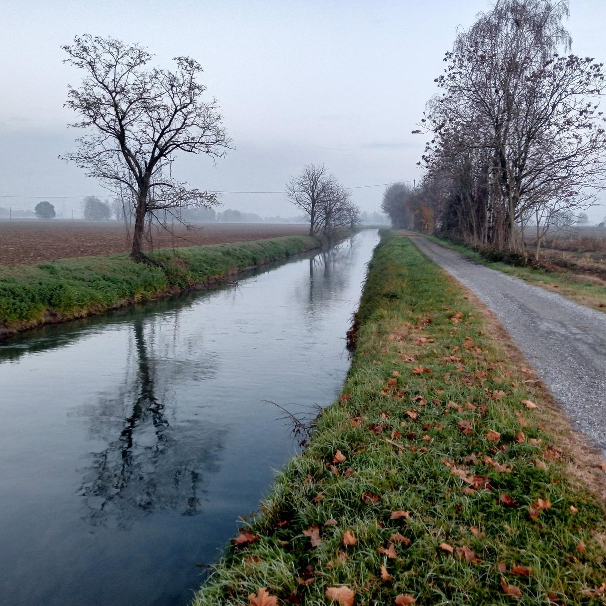
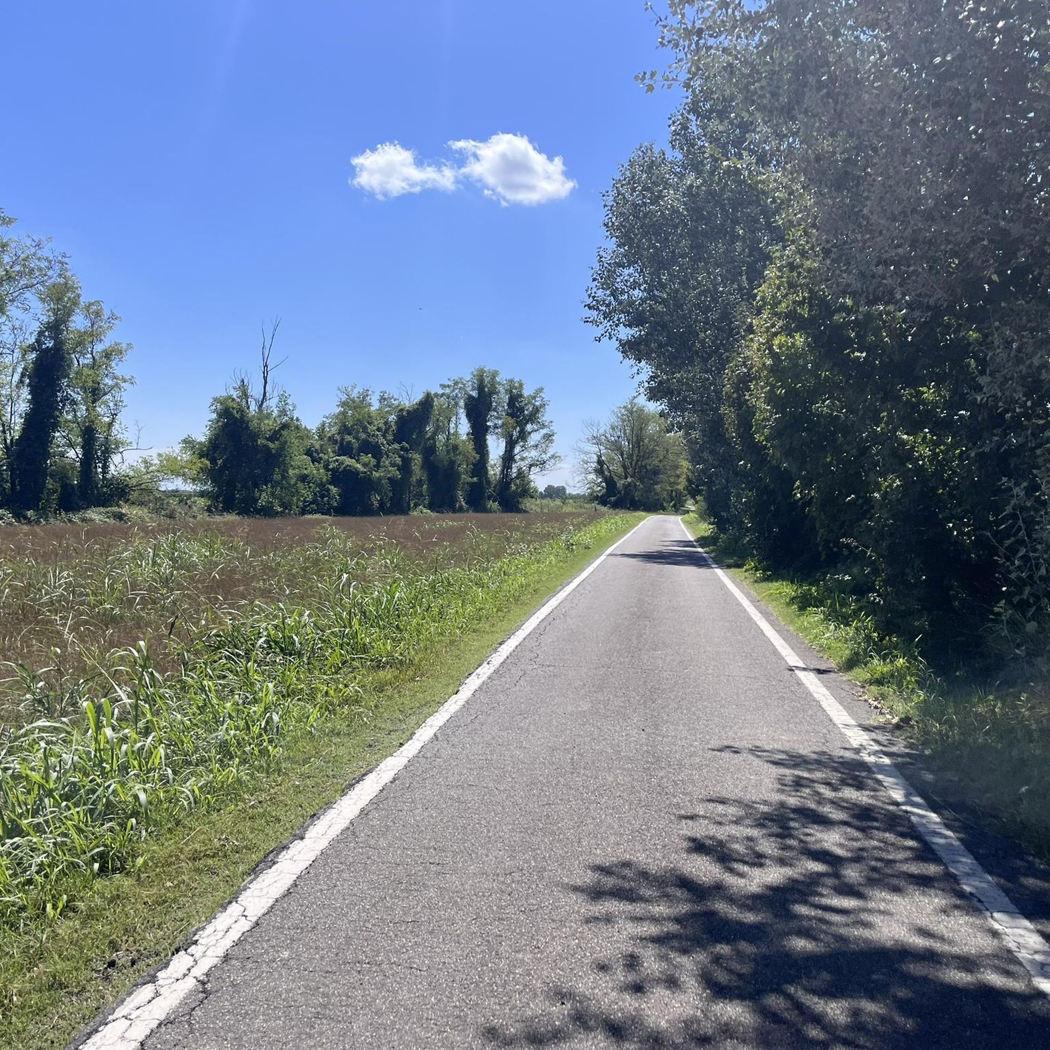
Penultimate stage of the Oglio cycle path
0
0


the Vincellate farmhouse in the Strone river park
0
0

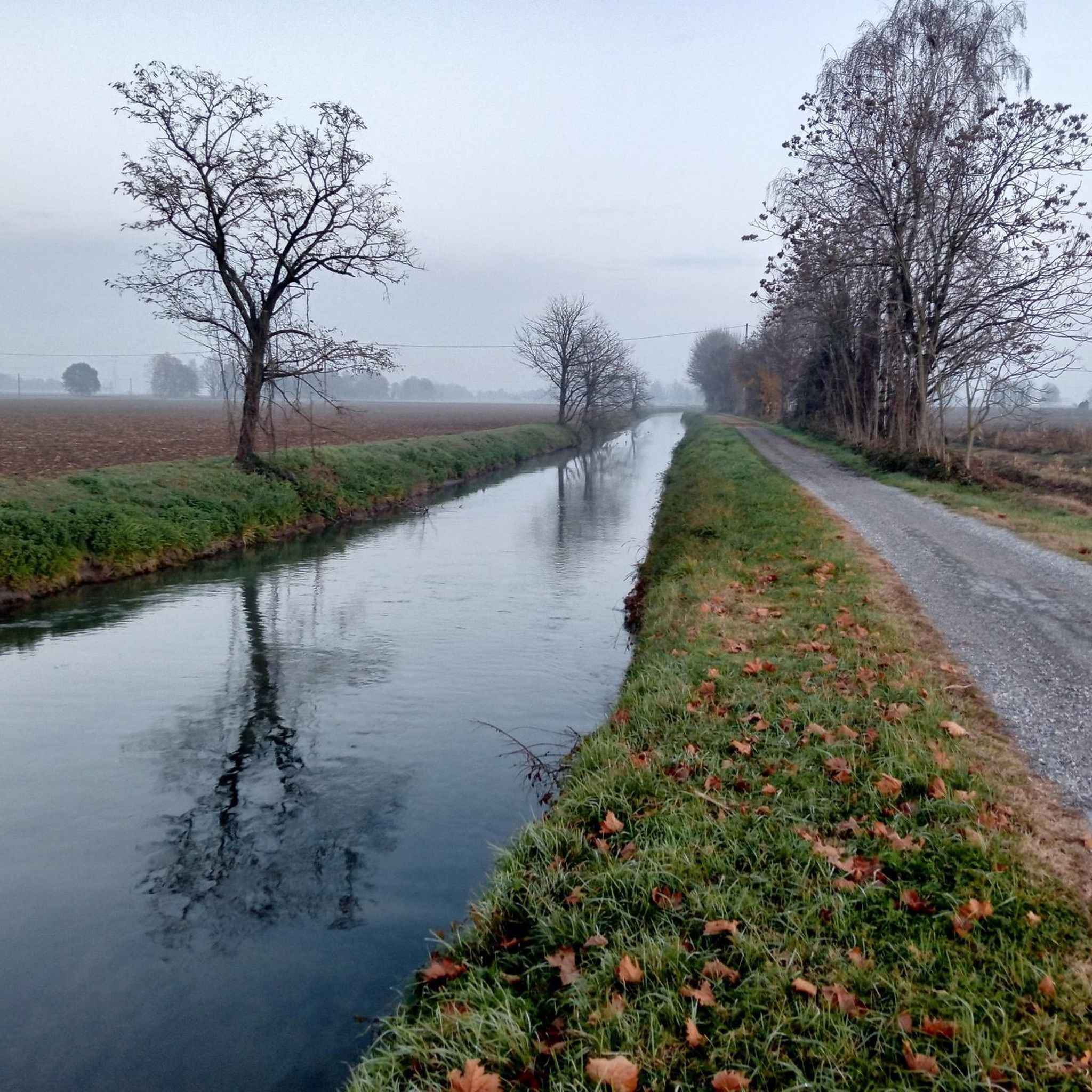
The Strone Park, along the suggestive 18 kilometers of the Strone river, was recognized as a local park of supra-municipal interest by the Lombardy region in 1990. Ideal for those who love cycling, it offers a well-trodden dirt surface, with the cycle path that winds near the river, offering a compelling experience in uncontaminated nature.
3
0

The Vincellate dam is a hydraulic structure near the Strone River Park that regulates the course of the river itself. From here you can follow the cycle path inside the Park and reconnect with the Oglio valley cycle path, with a network of itineraries that allows you to take turns for all tastes and difficulties.
0
0
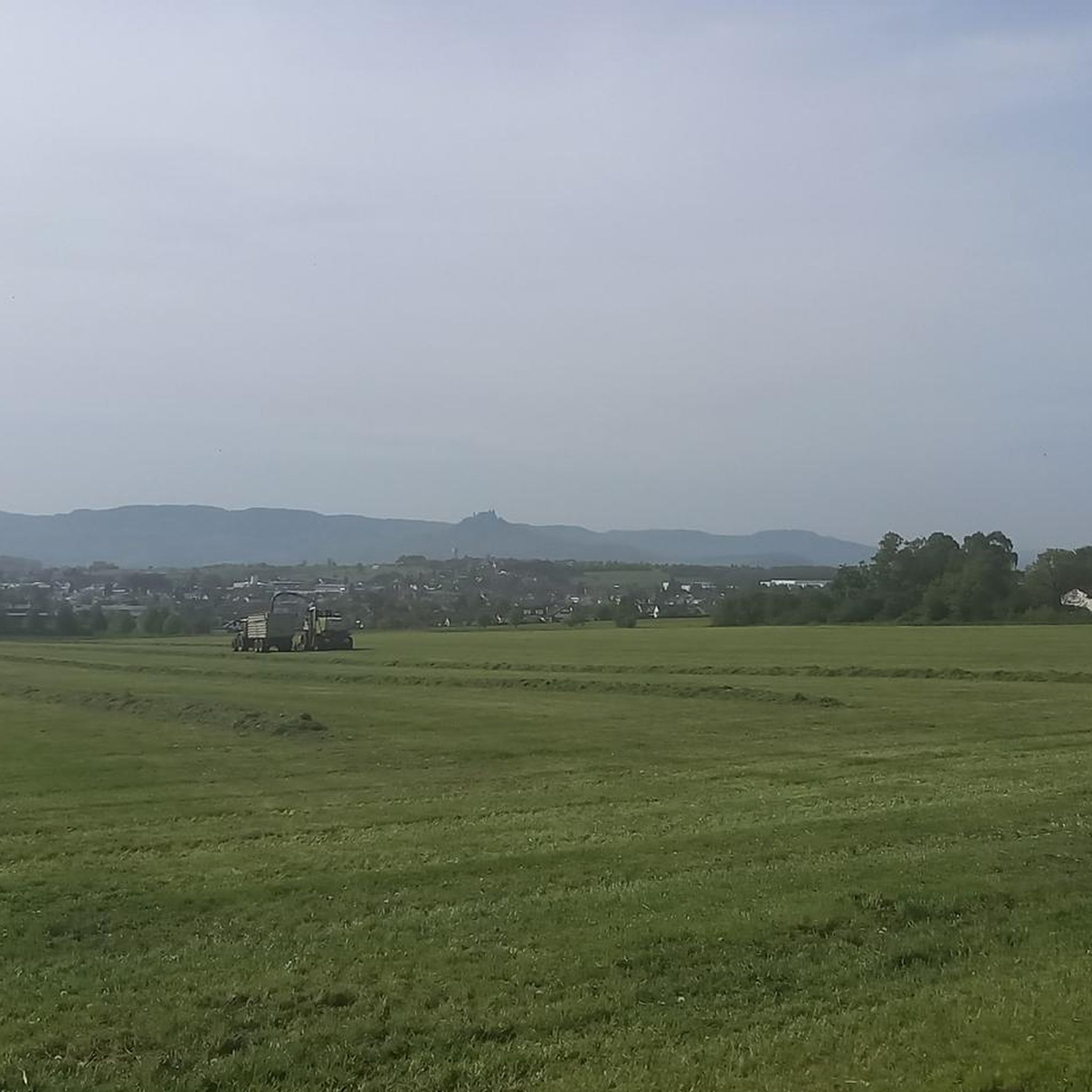
Pontevico is a municipality in the province of Brescia on the left bank of the Oglio river. From the bridge you have a beautiful view of the river and the castle of Pontevico, and several cycle routes pass through here, including the Oglio cycle route, the Mello cycle route, and the section connecting Brescia and Cremona.
1
0

Private villa for events, worth a stop for the picturesque view near the small church.
1
0
Frequently Asked Questions
How many running routes are available in Robecco D'Oglio?
There are over 60 running routes around Robecco D'Oglio, offering a variety of options for different fitness levels. The majority are moderate, with some easier options also available.
What is the typical length of jogging trails in Robecco D'Oglio?
Running routes in Robecco D'Oglio generally range from approximately 5.8 km to 12.2 km. For example, the Running loop from Pontevico is about 5.8 km, while the Strone River Park – Strone River Park loop from Pontevico extends to 12.2 km.
Are there easy running routes suitable for beginners in Robecco D'Oglio?
Yes, the flat, agricultural plains of the Lombardy region make many routes suitable for beginners. The terrain is characterized by low elevation gains, providing a consistent and accessible surface for jogging. While many routes are moderate, the overall lack of significant climbs makes them approachable.
Are there any circular running routes in Robecco D'Oglio?
Many of the running routes in Robecco D'Oglio are circular, allowing you to start and finish at the same point. Examples include the popular Strone loop from Pontevico and the Running loop from Bettegno.
What kind of scenery can I expect along the running paths?
The routes primarily wind through flat river plains, agricultural landscapes, and quiet country roads. You'll experience open countryside and paths alongside rivers, such as the Strone River, offering a peaceful and consistent running environment.
What do other runners say about the trails in Robecco D'Oglio?
The running routes in Robecco D'Oglio are highly rated by the komoot community, with an average score of 3.7 stars from over 6 reviews. More than 500 runners have used komoot to explore the area, often praising the flat, accessible paths and the tranquil agricultural scenery.
Are there any interesting landmarks or attractions near the running routes?
Yes, while jogging, you can explore nearby historical sites. Highlights include Padernello Castle, the San Vigilio Bridge of Padernello, and various churches like the Church of Saints Joseph and Blaise in Robecco d'Oglio.
Is public transport available to access the running trails?
Robecco D'Oglio is a smaller municipality in the Lombardy region. While local bus services connect some towns, direct public transport access to specific trailheads might be limited. It's advisable to check local bus schedules or consider driving to starting points like Pontevico or Bettegno.
Are there specific routes that offer good viewpoints?
Given the flat nature of the Lombardy plains around Robecco D'Oglio, routes generally offer expansive views of agricultural fields and river landscapes rather than elevated viewpoints. The open terrain provides broad vistas of the surrounding countryside.
Can I find cafes or refreshment stops along the running routes?
The running routes primarily traverse rural and agricultural areas. While you might find small cafes or shops in the villages you pass through, such as Pontevico or Bettegno, it's recommended to carry your own water and snacks, especially on longer runs, as dedicated refreshment stops directly on the trails are infrequent.
What is the best time of year for running in Robecco D'Oglio?
Spring and autumn generally offer the most pleasant conditions for running, with mild temperatures and less humidity. Summer can be hot, especially in July and August, while winter can be chilly and occasionally foggy, though the flat terrain remains accessible.
Most popular routes around Robecco D'Oglio
Most popular attractions around Robecco D'Oglio

Get inspired with the komoot mobile app


Explore more
Browse the best Running Trails & Routes in other regions.
