The best cycling routes around Unterbreizbach
4.6
(365)
1,330
riders
42
rides
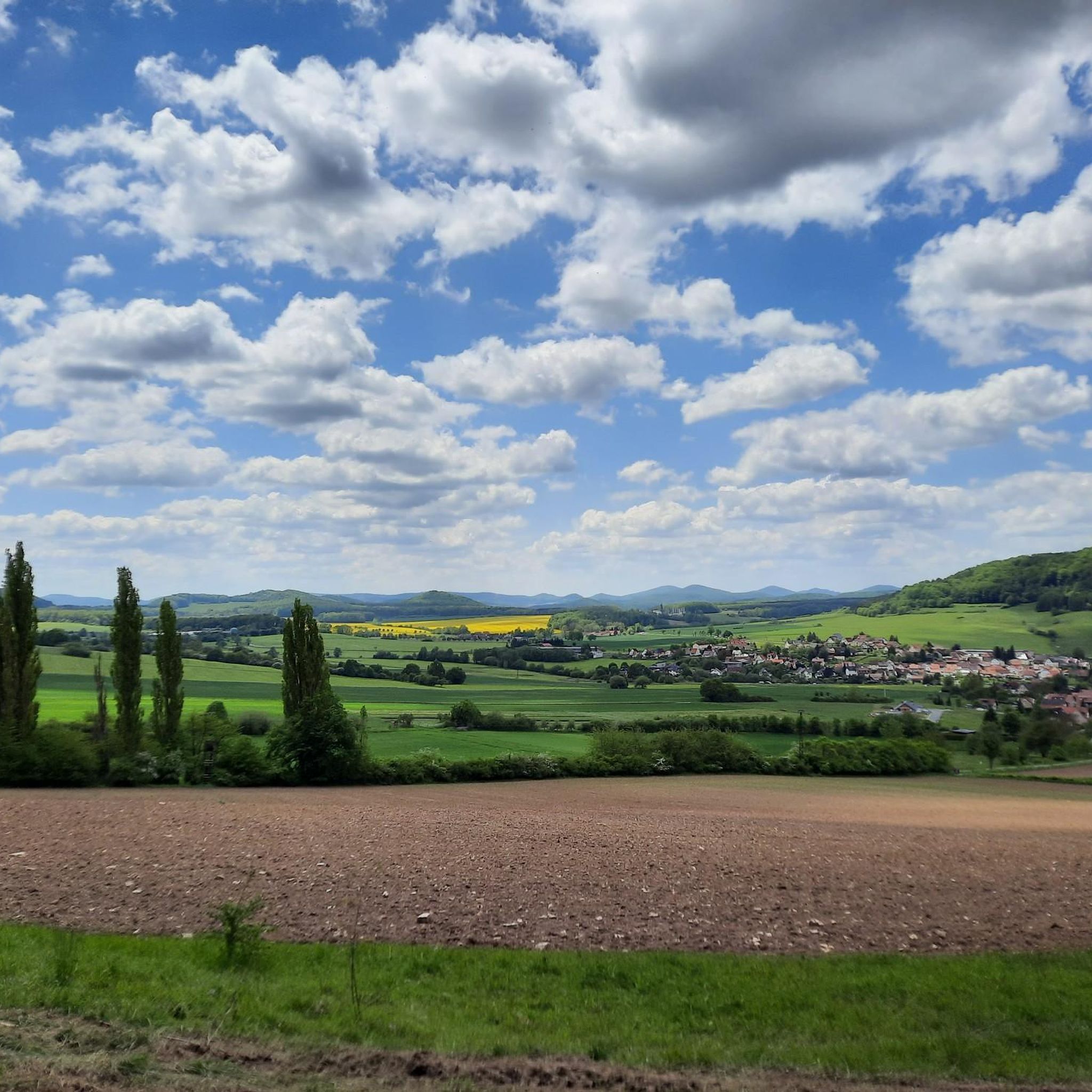
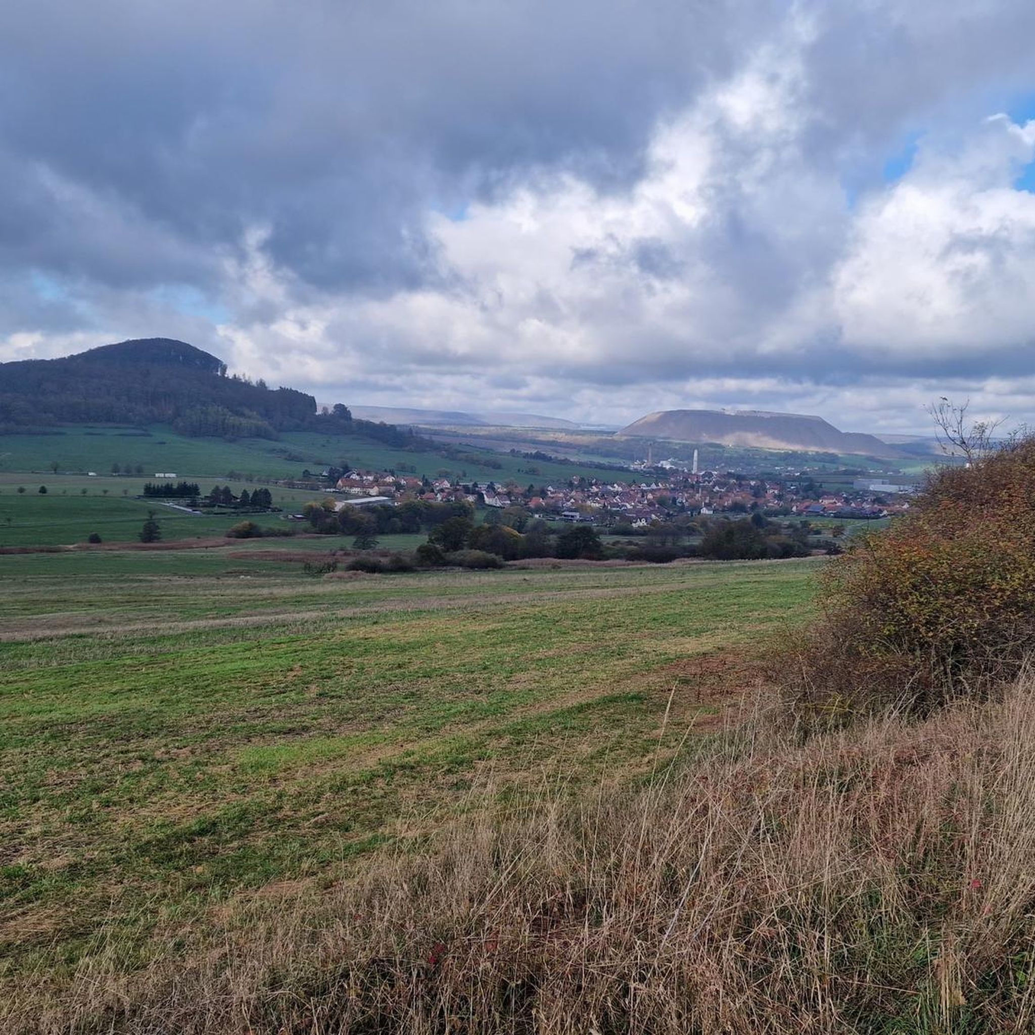
Touring cycling routes around Unterbreizbach traverse the Ulstertal and extend into the northern foothills of the Kuppenrhön. The region features rolling hills, lush forests, and the distinctive Glaamer Grund valley, offering varied terrain from river valleys to the lower slopes of the Rhön mountains. This area is part of the UNESCO Biosphere Reserve Rhön, providing a scenic backdrop for cycling. The landscape also includes unique "white mountains" formed by potash mining, adding a distinct industrial heritage element.
Best touring cycling…
Last updated: October 8, 2026
4.6
(69)
281
riders
Moderate bike ride. Good fitness required. Mostly paved surfaces. Suitable for all skill levels.
4.8
(31)
128
riders
Moderate bike ride. Good fitness required. Mostly paved surfaces. Suitable for all skill levels.

4.6
(46)
107
riders
Moderate bike ride. Good fitness required. Mostly paved surfaces. Suitable for all skill levels.
4.6
(39)
70
riders
48.9km
03:01
440m
440m
Moderate bike ride. Good fitness required. Mostly paved surfaces. Suitable for all skill levels.
4.8
(17)
66
riders
34.8km
02:11
340m
340m
Moderate bike ride. Good fitness required. Mostly paved surfaces. Suitable for all skill levels.
Get access to more routes and recommendations from other explorers.
Already have an account?
Our route recommendations are based on thousands of hikes, rides, and runs completed by other people on komoot.
Start today with a free account
Your next adventure awaits.
Popular around Unterbreizbach
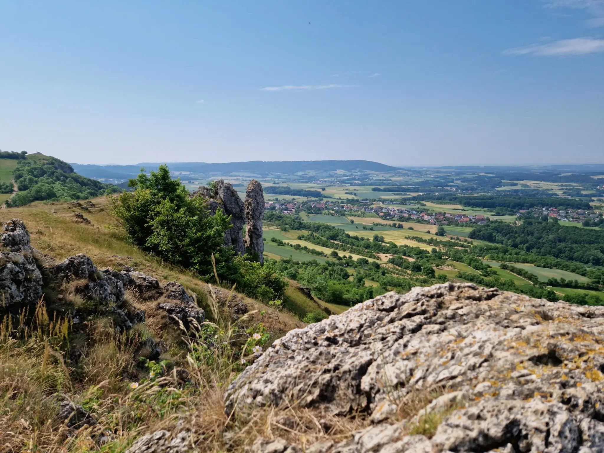
Ten fantastic hikes throughout Germany
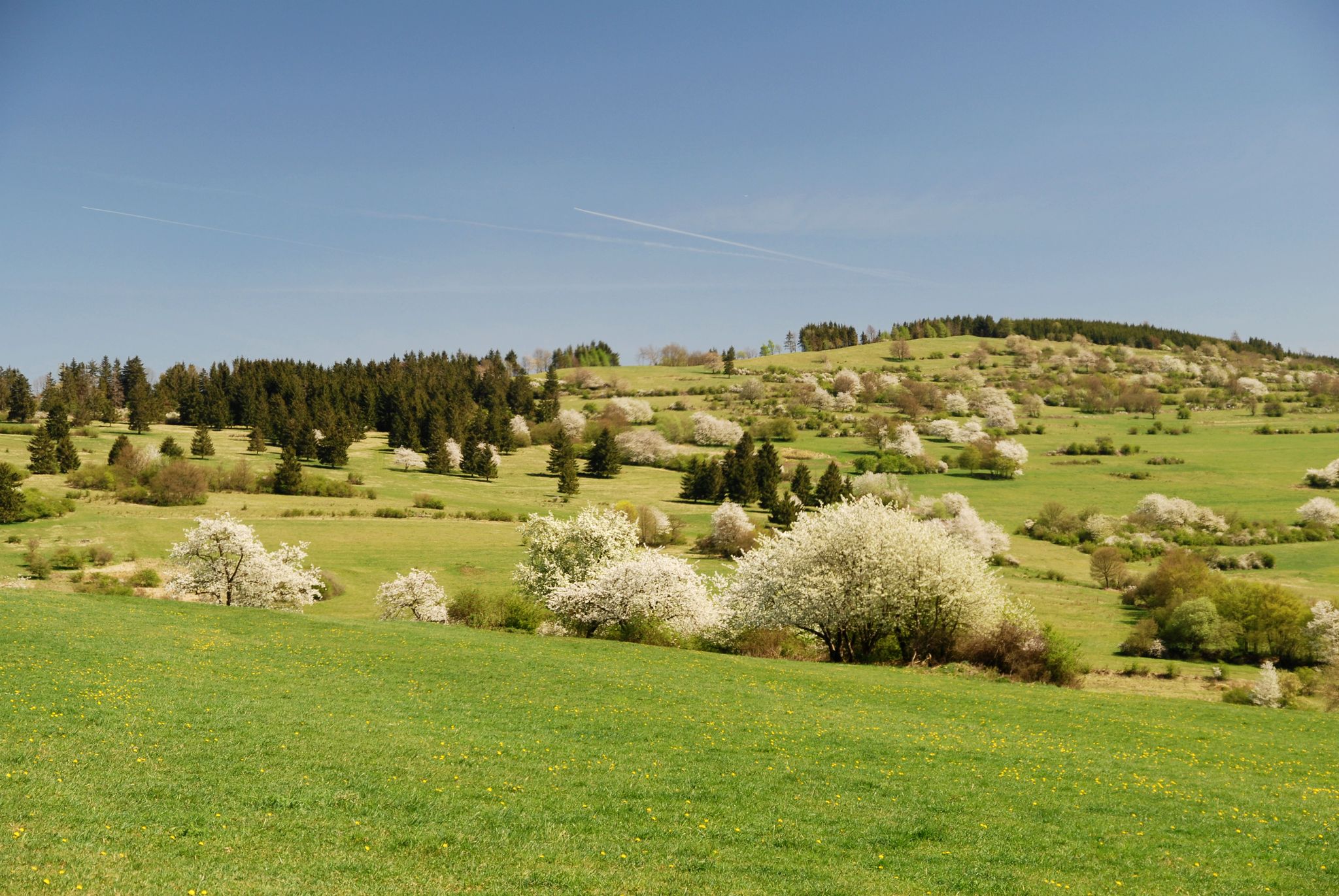
Extra tours North - excellent premium hiking trails of Rhön

Hiking in the Rhön Mountains where nature and history combine
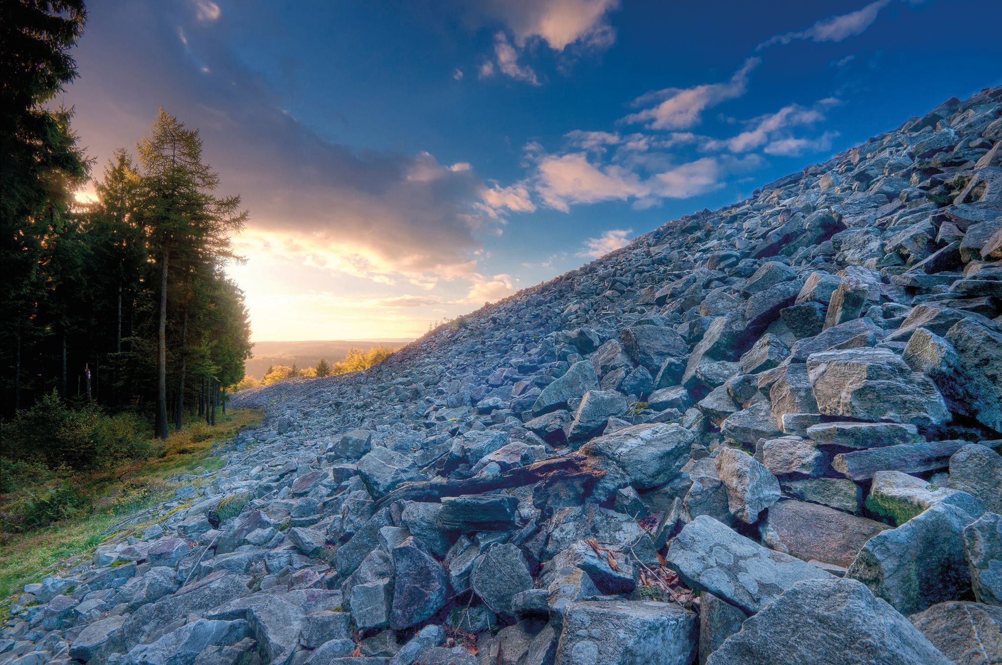
Celtic hikes — time travel into a past millennium
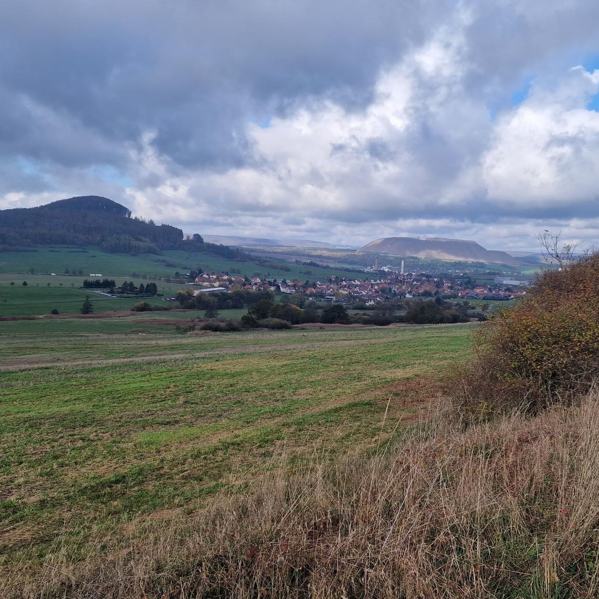
Hiking around Unterbreizbach
MTB Trails around Unterbreizbach
Road Cycling Routes around Unterbreizbach
Running Trails around Unterbreizbach

Gravel biking around Unterbreizbach
Other adventures around Unterbreizbach


Tips from the Community

Magnificently laid out shelter with a beautiful panoramic bench and a service station for bicycles.
0
0

New since 2026, there is a service station directly at the refuge where you can carry out minor repairs on your bike, as well as finally a waste container.
1
0

The former mill, which operated here until the beginning of the 20th century, was demolished to make way for a hydroelectric power plant to supply the Heringen mine with electricity. The Art Nouveau facade of the turbine hall and the entrance door with its wrought-iron fittings demonstrate the elaborate design even of utilitarian buildings. The turbine hall—like the entire complex with its weir—is a protected technical monument. The power plant is one of four between Harnrode and Widdershausen built to supply electricity to the mines.
1
0
A small but really nice old town.
0
0

It's worth a stop! Information boards on both sides of the bridge tell the rich history of both towns. A detour to the historic town center is definitely worthwhile. I especially recommend a visit to the small castle and a climb to the tower (€1). From there, you'll enjoy a fantastic view of the surrounding area and the bridge.
0
0


On the Wenigentaft - Soisdorf road: At this point, the border with its barriers crossed the Wenigentaft - Soisdorf road. The patrol track also led up to the Standorfsberg here. Due to the enormous gradient - probably the steepest in the entire system of GDR border fortifications - it was only used by vehicles in exceptional cases for safety reasons. The slabs were removed towards the end of the 90s.
0
0

The artificial mountains are visible from afar
2
0
Frequently Asked Questions
How many touring cycling routes are available around Unterbreizbach?
There are over 40 touring cycling routes around Unterbreizbach, offering a variety of options for different skill levels. This includes 11 easy routes, 24 moderate routes, and 7 more challenging trails.
What kind of terrain can I expect on touring cycling routes around Unterbreizbach?
The routes in Unterbreizbach traverse the Ulstertal, where the Ulster and Breizbach rivers flow, and extend into the northern foothills of the Kuppenrhön. You can expect rolling hills, lush forests, and scenic river valleys. The area is part of the UNESCO Biosphere Reserve Rhön, offering varied landscapes from gentle river paths to the lower slopes of the Rhön mountains.
Are there any easy touring cycling routes suitable for beginners or families?
Yes, Unterbreizbach offers several easy touring cycling routes perfect for beginners or families. An excellent option is the K+S Mining Tower – View of Vacha loop from Unterbreizbach, which is 12.4 miles (20.0 km) long and leads through pleasant local landscapes.
Are there circular touring cycling routes available?
Yes, many of the touring cycling routes around Unterbreizbach are circular. For example, the popular Blue Bridge over the Ulster River – Tann Town Gate loop from Sünna is a 31.0 miles (49.9 km) moderate route, and the View of Bermbach – Blue Bridge over the Ulster River loop from Sünna offers scenic views over 18.5 miles (29.8 km).
What natural features can I see along the touring cycling routes?
While cycling, you'll encounter the picturesque Ulstertal and Glaamer Grund valleys, and the Ulster and Breizbach rivers. The region is also known for its 'white mountains' – large potash heaps that are a distinctive part of the landscape. You can also observe nature along the wooden boardwalk in the Rohrlache von Heringen nature reserve.
Are there any historical sites or cultural attractions to visit while cycling?
Absolutely. You can visit the poignant Point Alpha Memorial, which offers a look at the former inner-German border. The Werrabrücke Vacha (Bridge of Unity) is another notable landmark. In nearby Sünna and Pferdsdorf, you can admire well-preserved half-timbered houses.
Are there good viewpoints along the touring cycling routes?
Yes, the region offers several excellent viewpoints. The Öchsenberg Summit and Celtic Cross provides panoramic views. Additionally, an observation tower in Winterliete offers another vantage point to take in the scenery of the Rhön Biosphere Reserve.
What do other touring cyclists enjoy the most about the routes in Unterbreizbach?
The touring cycling routes in Unterbreizbach are highly rated by the komoot community, with an average score of 4.7 stars from over 260 reviews. Cyclists often praise the varied scenery, from tranquil river valleys to rolling hills, and the well-maintained paths that make for an enjoyable experience.
Are there options for more advanced touring cyclists?
While many routes are easy to moderate, there are 7 difficult touring cycling routes for those seeking more strenuous adventures. The broader Rhön mountains, including prominent peaks like Kreuzberg and Wasserkuppe, also offer challenging terrain for experienced cyclists.
What is the best time of year for touring cycling in Unterbreizbach?
The spring, summer, and early autumn months generally offer the best conditions for touring cycling in Unterbreizbach. During these seasons, the weather is typically mild, and the landscapes are lush and vibrant, making for a pleasant cycling experience.
Are there places to eat or rest along the routes?
Yes, the region has various facilities for cyclists. You can find rest areas, such as the rest area on the Felda River along the Feldatal Cycle Path. There are also huts like the Oechsenberg Hut and the Dietrichsberg Hunting Lodge, which can serve as good spots for a break.
Is there public transport access to the cycling routes in Unterbreizbach?
While specific public transport connections directly to every trailhead may vary, the region is generally accessible. For longer routes like the Rhön Cycle Route, sections often pass through towns with public transport links. It's advisable to check local bus or train schedules for specific starting points.
Where can I park my car when starting a touring cycling route?
Parking is generally available in the towns and villages around Unterbreizbach, such as Sünna, Pferdsdorf, and Unterbreizbach itself. Look for designated parking areas near town centers or trailheads, especially for popular routes.
Most popular routes around Unterbreizbach
Most popular attractions around Unterbreizbach

Get inspired with the komoot mobile app


Explore more
Browse the best Cycling routes in other regions.
