The best road cycling routes around Untermünkheim
4.6
(889)
7,954
riders
15
rides
Road cycling routes around Untermünkheim traverse the Hohenloher Land, characterized by rolling hills, expansive fields, and lush meadows. The region features the Kocher and Jagst river valleys, offering varied terrain for road cyclists. Routes often follow the Kocher-Jagst Cycle Path, providing mostly flat sections alongside rivers. The landscape includes gentle hills and valleys, catering to various fitness levels.
Best road cycling routes around Untermünkheim
- The most popular road cycling route is ⭐️🐷 Old wooden bridge – Archen Bridge over the…
Last updated: October 21, 2026
5.0
(6)
51
riders
Easy road ride. Mostly well-paved surfaces and easy to ride.
4.0
(2)
26
riders
43.2km
01:55
370m
370m
Moderate road ride. Good fitness required. Mostly well-paved surfaces and easy to ride.

13
riders
27.4km
01:18
310m
310m
Moderate road ride. Good fitness required. Mostly well-paved surfaces and easy to ride.
5.0
(2)
12
riders
27.0km
01:15
300m
300m
Moderate road ride. Good fitness required. Mostly well-paved surfaces and easy to ride.
13
riders
57.4km
02:37
630m
630m
Moderate road ride. Good fitness required. Mostly well-paved surfaces and easy to ride.
Get access to more routes and recommendations from other explorers.
Already have an account?
Our route recommendations are based on thousands of hikes, rides, and runs completed by other people on komoot.
Start today with a free account
Your next adventure awaits.

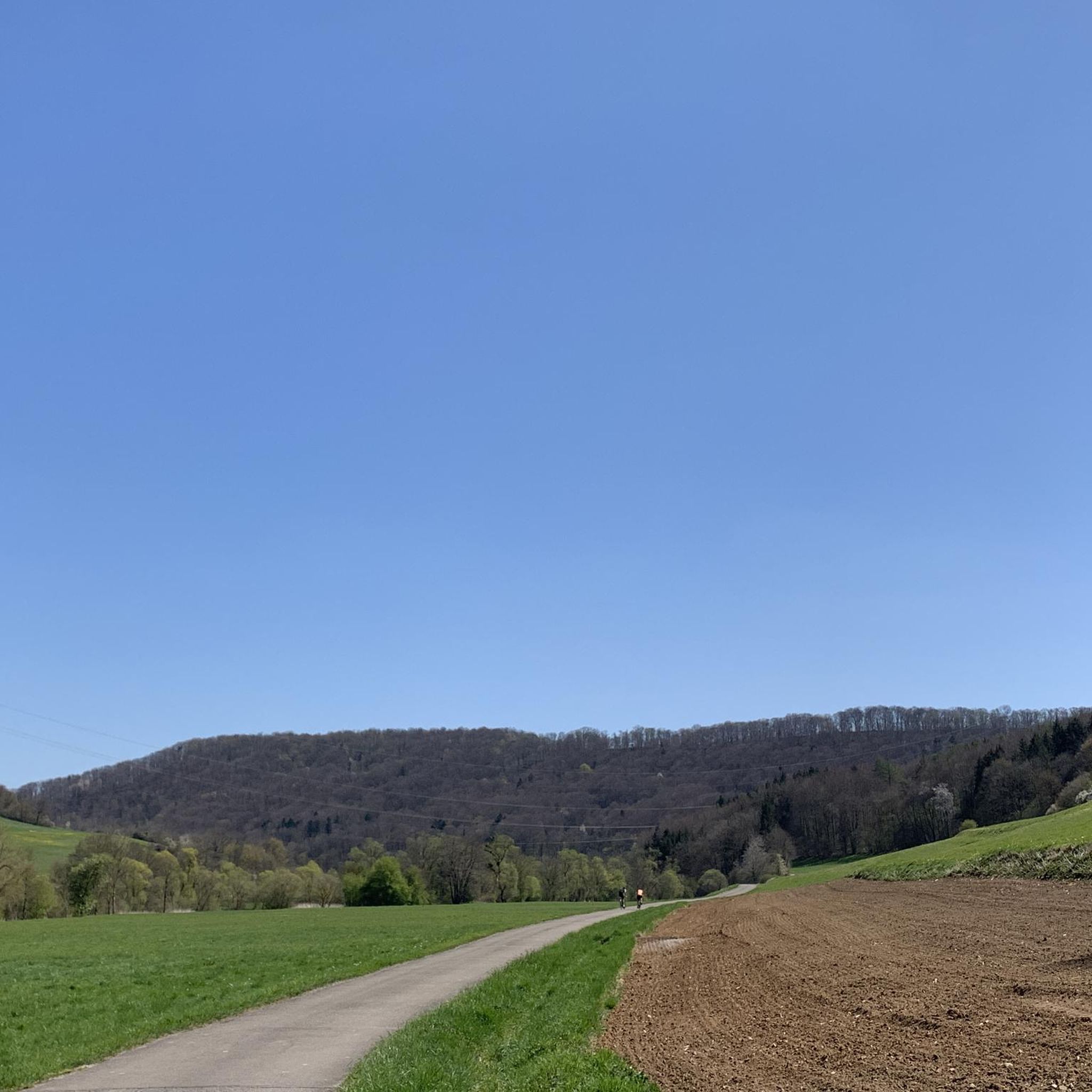
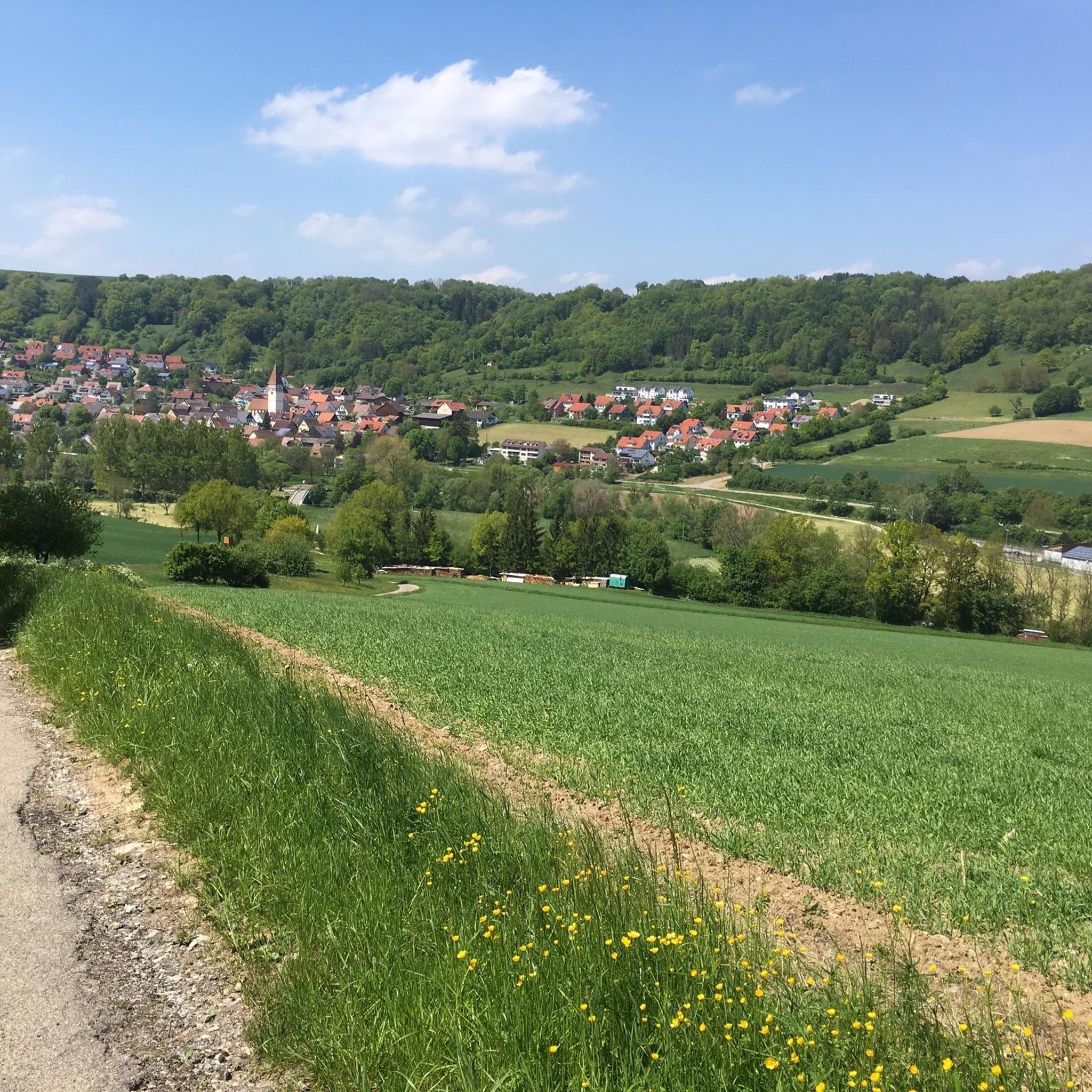
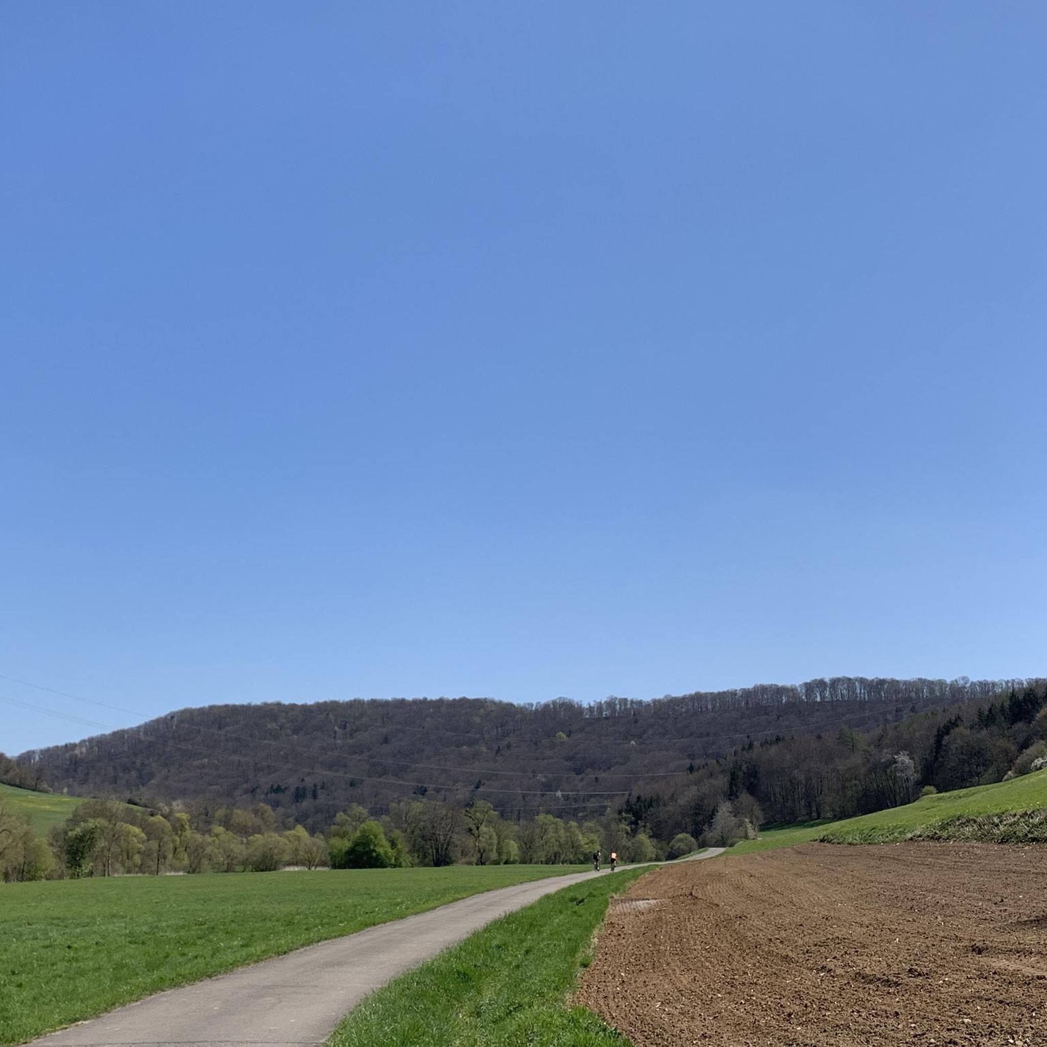
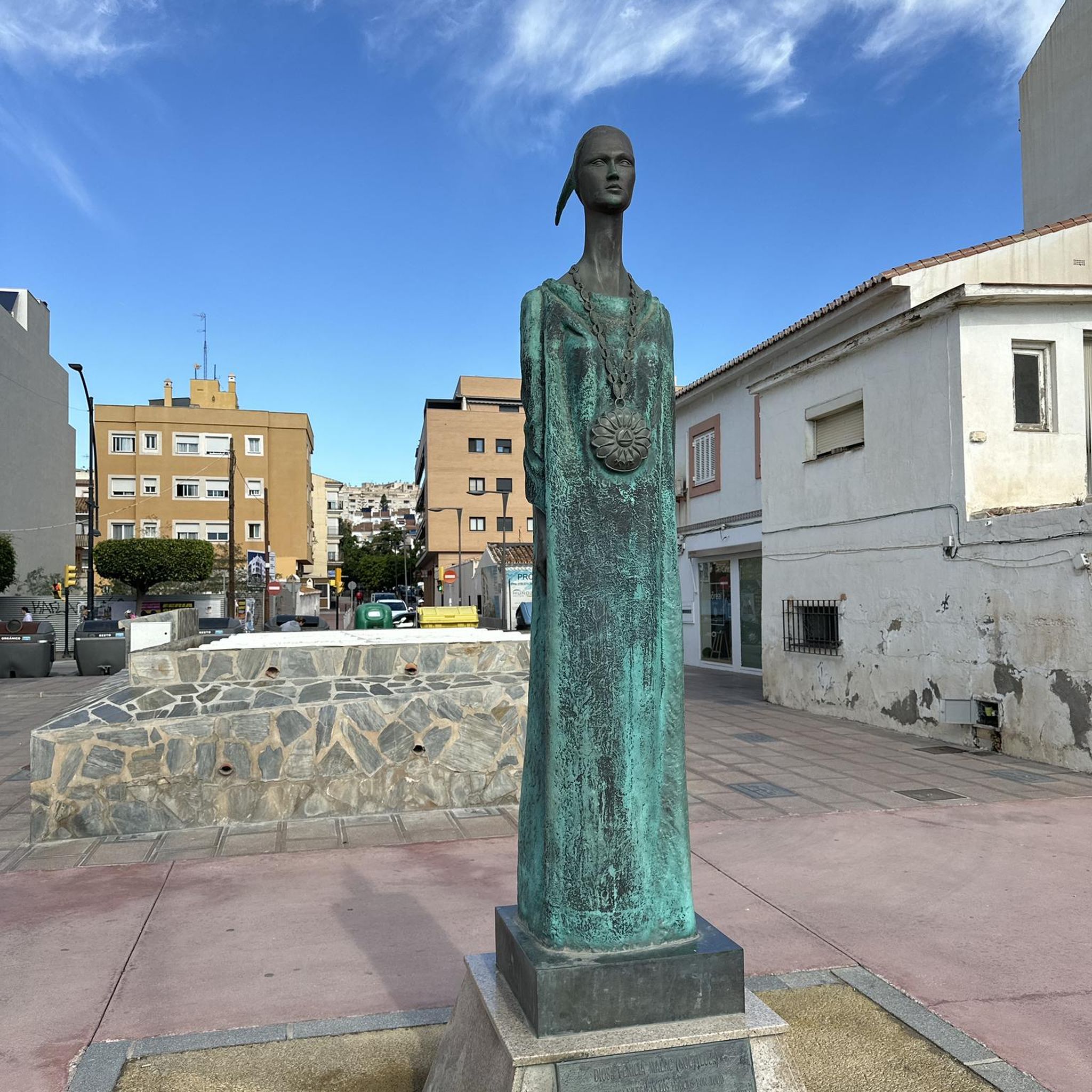
Tips from the Community

River landscape by bike
0
0
Old wooden bridge explored by bike
0
0
Explored covered bridge by bike
0
0
Explored covered bridge by bike
0
0
Cycle path under the Kochertal bridge
0
0
Ruins discovered while cycling
0
0
View of the Hohenlohe Plain
0
0
Frequently Asked Questions
How many road cycling routes are available around Untermünkheim?
There are over 15 road cycling routes around Untermünkheim, offering a variety of experiences for different skill levels. You'll find a good mix of easy and moderate routes to explore the Hohenloher Land.
What kind of terrain and difficulty can I expect on road cycling routes in Untermünkheim?
The region features diverse terrain, from mostly flat sections along the Kocher-Jagst Cycle Path to gentle rolling hills and valleys in the Hohenloher Land. You can find 8 easy routes for relaxed rides and 7 moderate routes for more challenging experiences with significant elevation gains.
What scenic natural features or landmarks can I see while road cycling in Untermünkheim?
Road cycling routes often follow the picturesque Kocher and Jagst river valleys, offering tranquil riverside sections. You might also encounter the impressive Kochertalbrücke, Germany's highest road bridge, which provides excellent viewpoints. The Bühler Tal also offers great natural scenery and tranquility.
Are there any cultural attractions or points of interest accessible by road bike?
Yes, many routes can be planned to include cultural stops. The historic Old Town of Schwäbisch Hall, described as "uniquely beautiful," is a popular destination. You can also pass by local vineyards, especially scenic in spring and summer, or explore castles such as Neuenstein Castle or Großcomburg Monastery.
What do other road cyclists enjoy the most about road cycling in Untermünkheim?
The area is highly rated by the komoot community, with an average score of 4.7 stars from more than 10 reviews. Cyclists often praise the varied terrain, from peaceful river paths to scenic hills, and the well-maintained routes that cater to different ability levels.
Are there any family-friendly road cycling routes in the Untermünkheim area?
Yes, the Kocher-Jagst Cycle Path, which Untermünkheim is directly located on, is largely flat and avoids main roads, making it ideal for leisurely and family-friendly road cycling. Routes like the Old wooden bridge – Archen Bridge over the Kocher loop from Untermünkheim are easy and follow the river, suitable for families.
Can I find circular road cycling routes around Untermünkheim?
Absolutely. Many of the routes around Untermünkheim are designed as loops, allowing you to start and end at the same point. Examples include the Old wooden bridge – Archen Bridge over the Kocher loop and the Kochertal Bridge – Braunsbach Town Gate loop.
What is the best time of year for road cycling in Untermünkheim?
The spring and summer months are generally ideal for road cycling in Untermünkheim, when the landscapes are in full bloom, especially the vineyards. The weather is typically pleasant, making for enjoyable rides through the region's diverse scenery.
Are there options for food and drink stops along the road cycling routes?
While specific cafes or pubs are not detailed for every route, the region's towns and villages, including Untermünkheim itself and nearby Schwäbisch Hall, offer various opportunities for refreshment stops. Many routes pass through or near these communities, allowing for convenient breaks.
Are there any lakes or reservoirs I can cycle past in the region?
Yes, the area around Untermünkheim features several beautiful bodies of water. You can cycle past lakes such as Starkholzbacher Lake, Lake Neumühl, or the Gnadental Reservoir. The Lake Neumühl – View of Neumühlsee loop from Brachbach is one route that incorporates a lake view.
How long are the road cycling routes around Untermünkheim?
The routes vary significantly in length to suit different preferences. You can find shorter, easy rides like the Old wooden bridge – Archen Bridge over the Kocher loop, which is about 17.8 km (11.1 miles). Longer, moderate routes, such as the Obere Tor (Öhringen) – Hofgarten Öhringen loop from Brachbach, can be around 43.4 km (26.9 miles) or even up to 69.6 km (43.2 miles) for routes like the Kochertal Bridge – Braunsbach Town Gate loop.
Most popular routes around Untermünkheim
Most popular attractions around Untermünkheim

Get inspired with the komoot mobile app


Explore more
Browse the best Road cycling routes in other regions.
