The best road cycling routes around Untersiggenthal
4.5
(732)
14,017
riders
300
rides
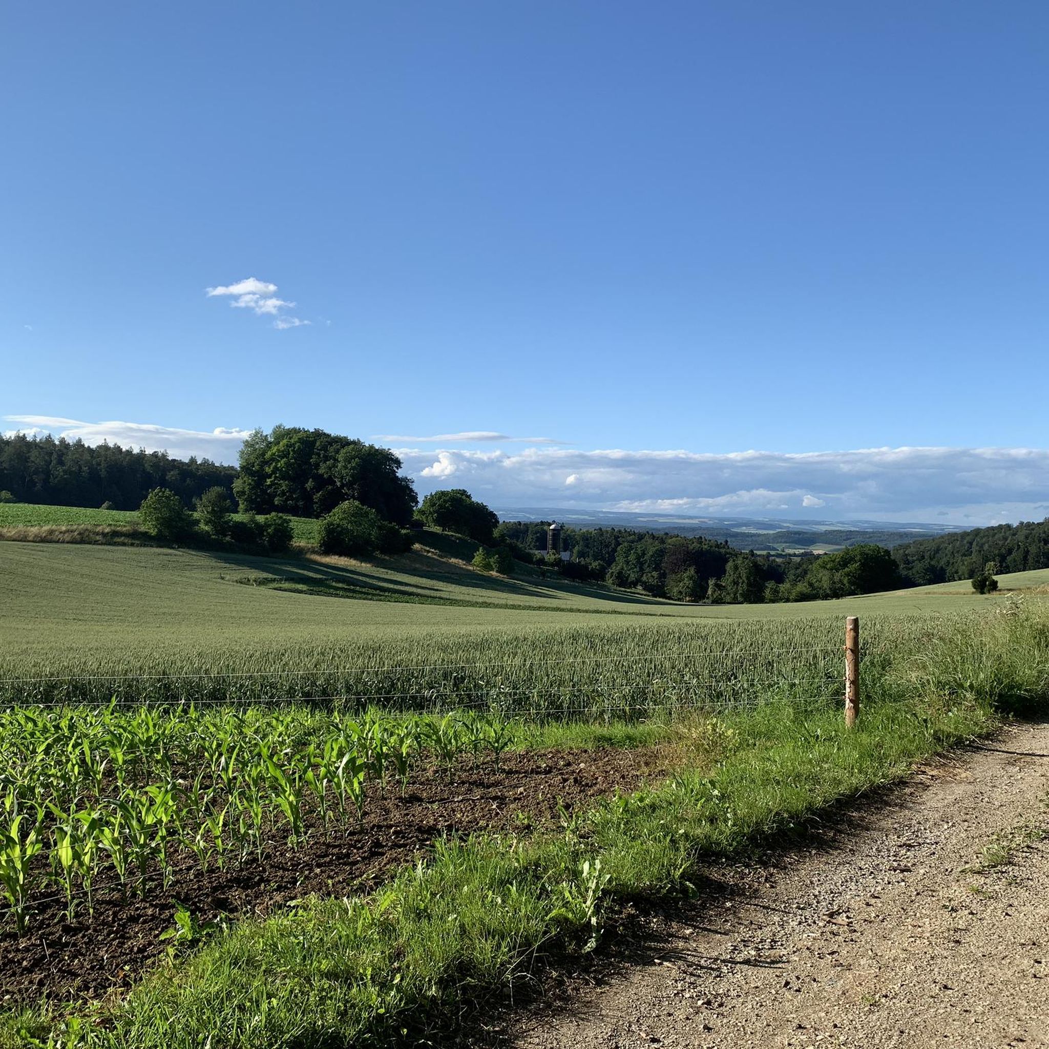
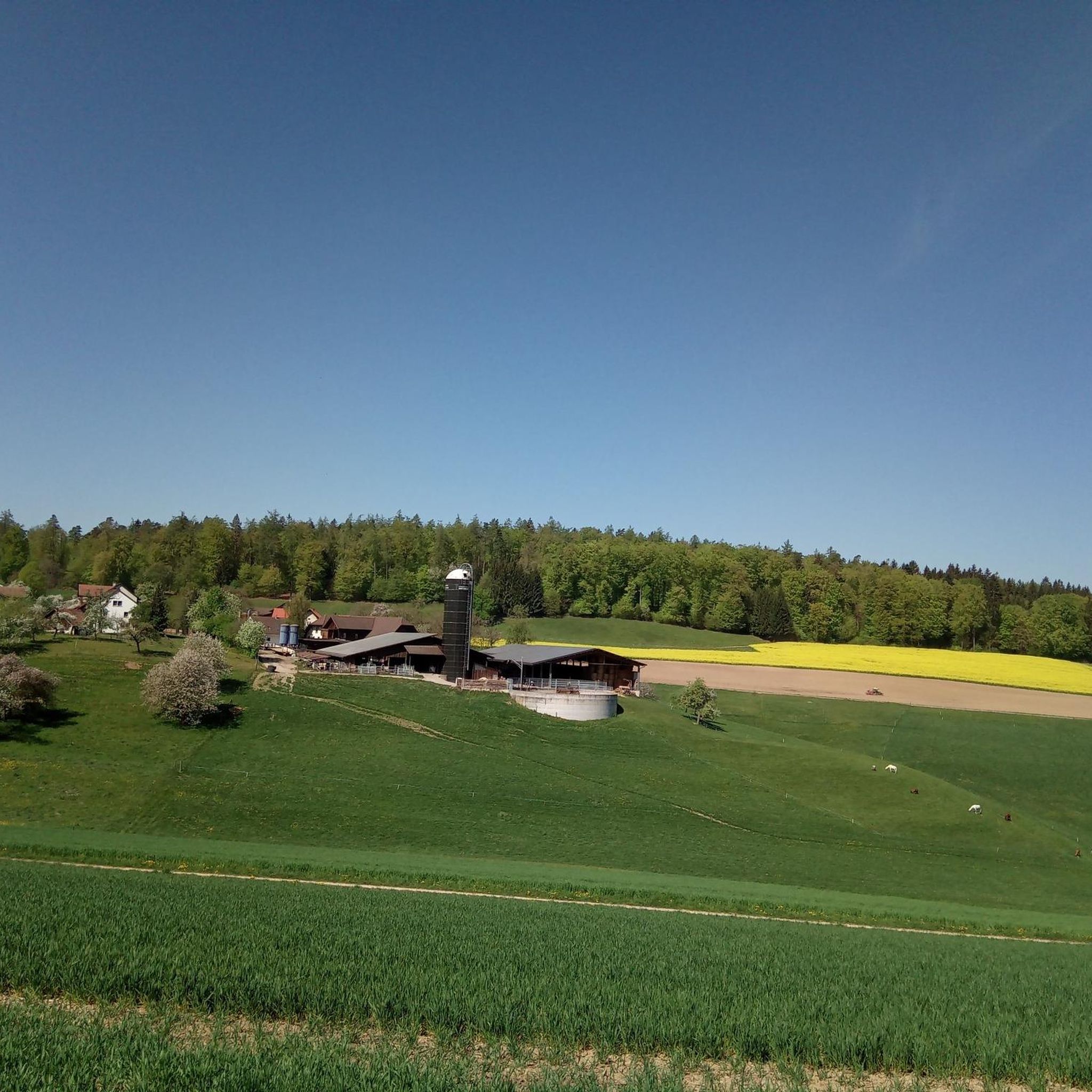
Road cycling routes around Untersiggenthal traverse a landscape characterized by the Aare River, its tributaries, and the surrounding rolling hills of the Aargau region. The area features a mix of agricultural land, forested sections, and open vistas, with elevations that include moderate climbs and descents. Road cyclists can expect routes that follow riverbanks, pass through small villages, and offer views of local landmarks such as the Klingnauer Stausee reservoir and historic bridges. The terrain provides varied cycling experiences suitable for…
Last updated: October 20, 2026
4.5
(27)
371
riders
58.8km
02:37
470m
470m
Moderate road ride. Good fitness required. Some segments of this route may be unpaved and difficult to ride.
4.7
(7)
177
riders
62.6km
03:04
830m
830m
Moderate road ride. Good fitness required. Mostly well-paved surfaces and easy to ride.

4.3
(7)
148
riders
Moderate road ride. Good fitness required. Mostly well-paved surfaces and easy to ride.
4.3
(3)
114
riders
51.1km
02:25
510m
510m
Moderate road ride. Good fitness required. Mostly well-paved surfaces and easy to ride.
5.0
(2)
114
riders
37.8km
01:41
300m
300m
Easy road ride. Mostly well-paved surfaces and easy to ride.
Get access to more routes and recommendations from other explorers.
Already have an account?
Our route recommendations are based on thousands of hikes, rides, and runs completed by other people on komoot.
Start today with a free account
Your next adventure awaits.
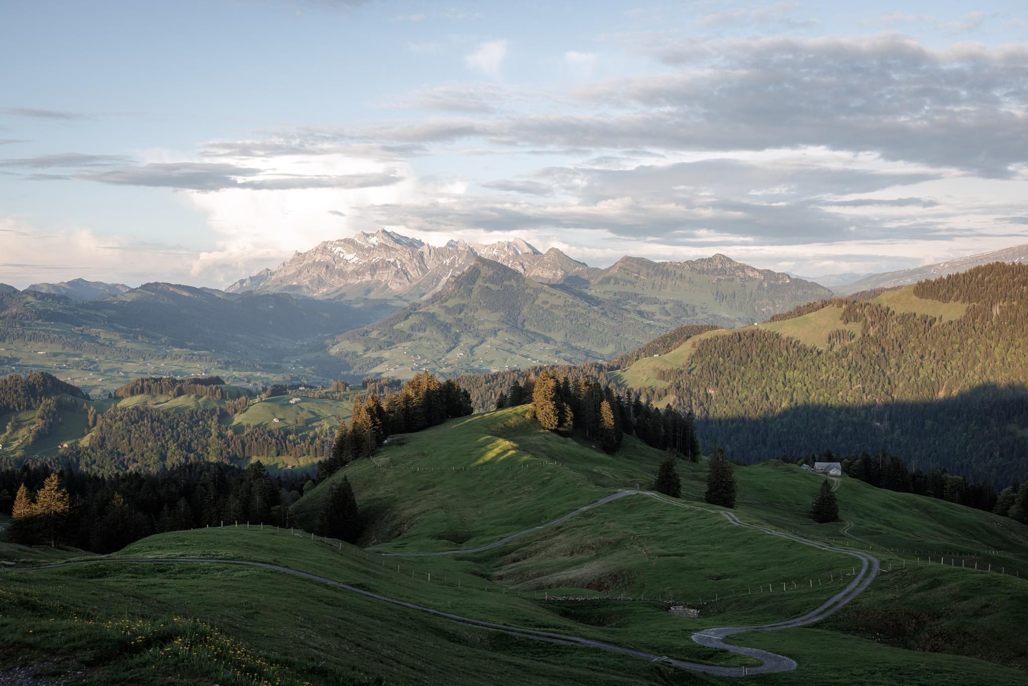
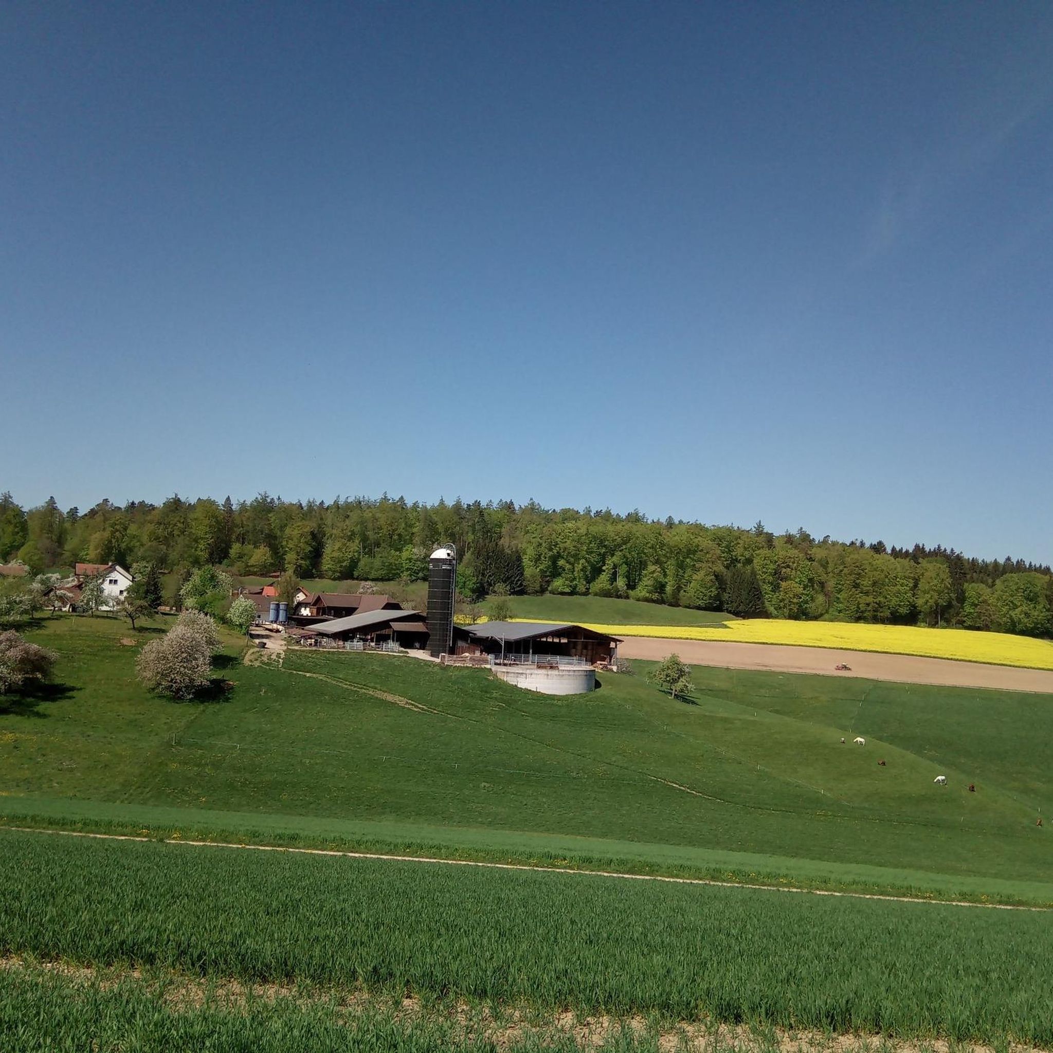
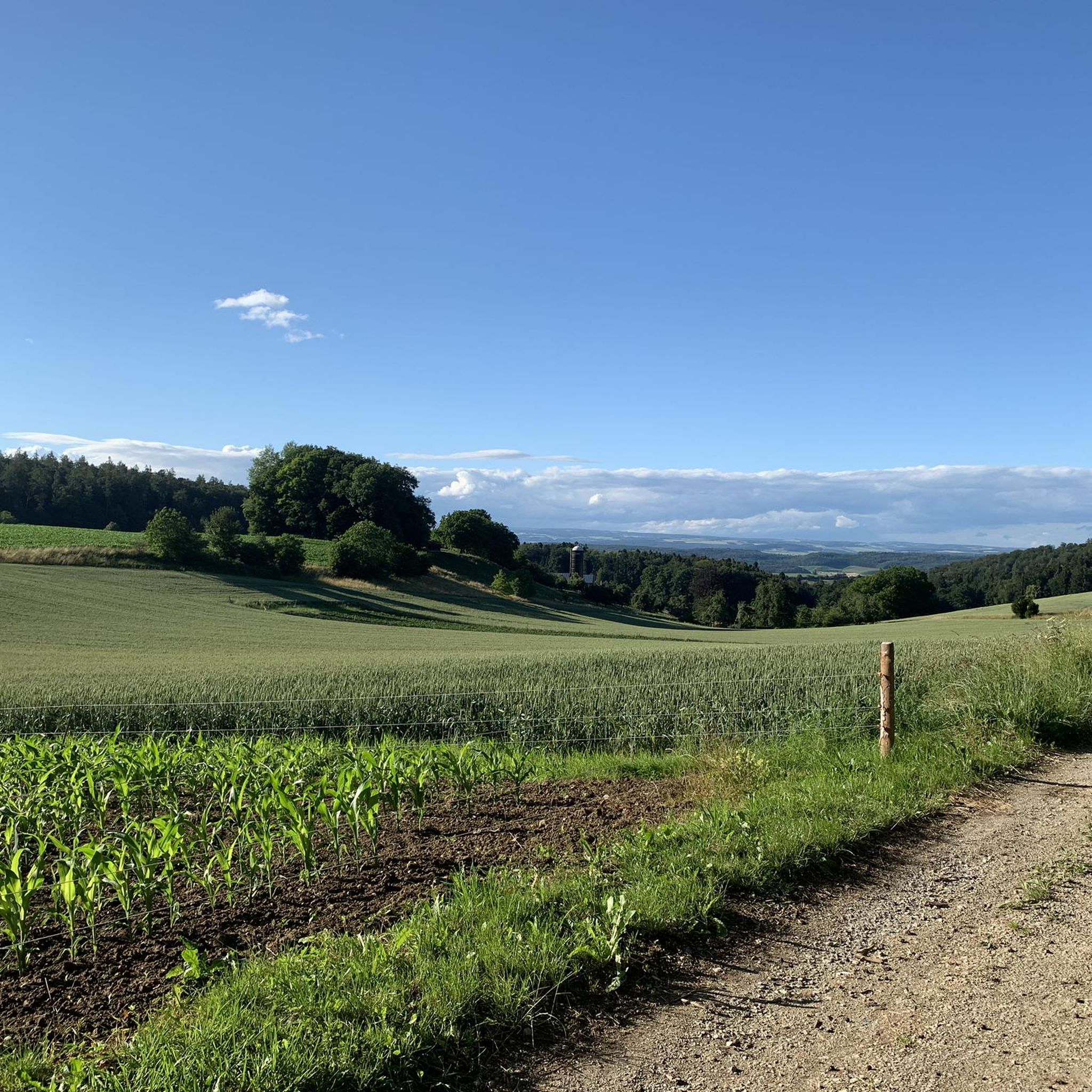
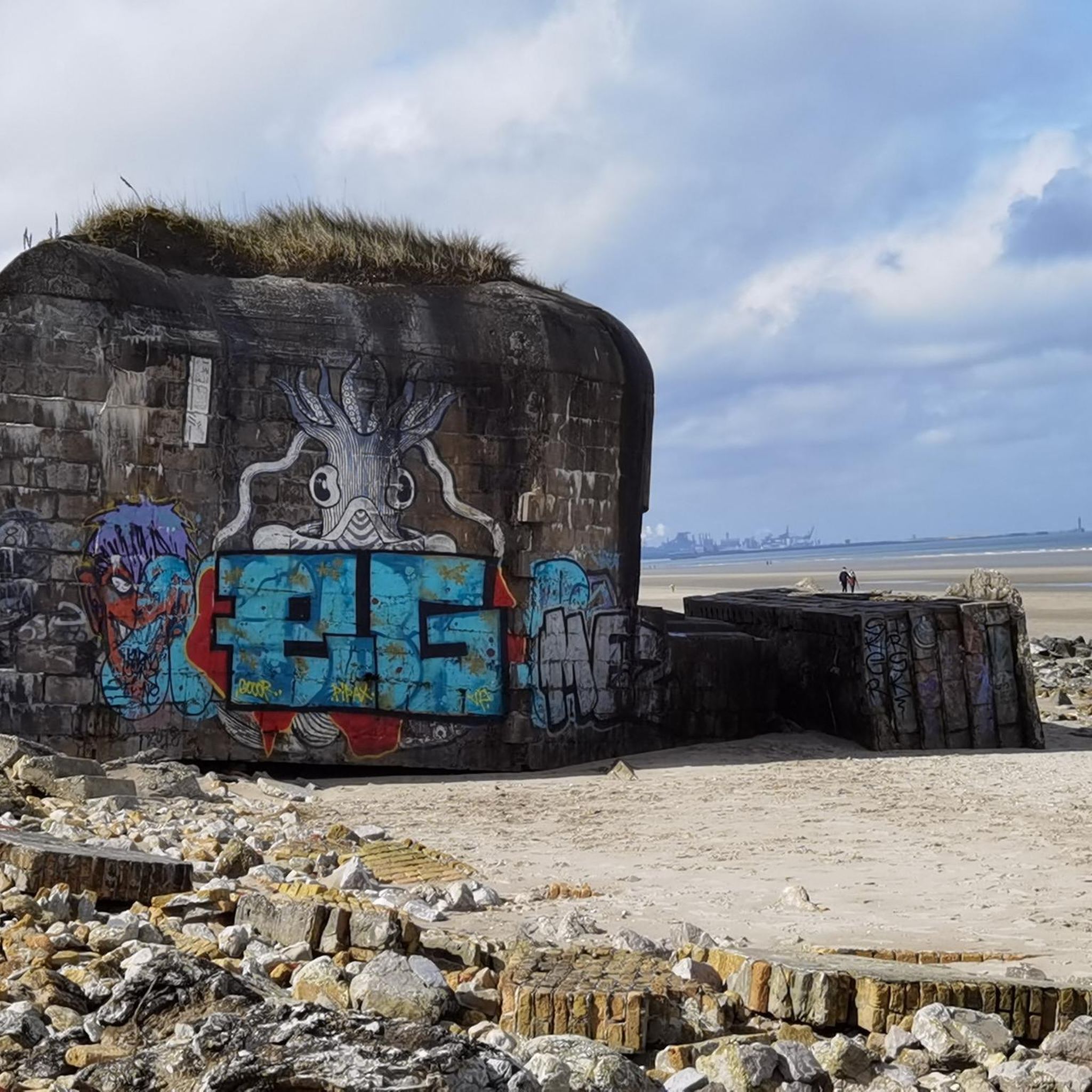
Other adventures around Untersiggenthal

Tips from the Community

Villigen has some generously built water fountains along the main street. Always interesting to look at them. I haven't counted them yet.
0
0
Cycle path located between Remigen and Möntal. Off the road, quietly situated, almost nestled between two mountains. The picturesque landscape also has a calming effect on us: the vineyards, the fields, the forests... From Remigen in the direction of Möhntahl, a slight upward trend, before the Ampfernhöhe a steeper section that can be easily managed. Have fun on the ride!
0
0
The first Aare bridge near Stilli was built in 1903 by the canton of Aargau. Renewed and widened in 1970. In the 13th/14th century, a bridge already crossed the Aare near Freudenau Castle (approx. 200 meters upstream).
0
0
A very beautiful photo opportunity: the last bridge over the Aare River. Here, after 292 kilometers, the Aare flows into the Rhine.
1
0

Good connection between the two banks of the Koblenz/Gippingen river
0
0
Another option for a transition.
0
0

Here at the hydroelectric power station you can cross the Aare
0
0

No traffic, very nice to drive
0
0
Frequently Asked Questions
How many road cycling routes are available around Untersiggenthal?
There are over 300 road cycling routes in the Untersiggenthal area, offering a wide range of options for different skill levels and preferences.
Are there easy road cycling routes suitable for beginners in Untersiggenthal?
Yes, Untersiggenthal offers around 47 easy road cycling routes. These routes typically feature gentler terrain, often following riverbanks, making them ideal for beginners or those seeking a relaxed ride. Many of the routes are circular, providing a convenient starting and ending point.
What kind of terrain can I expect on road cycling routes in Untersiggenthal?
The terrain around Untersiggenthal is characterized by the Aare River and its tributaries, rolling hills of the Aargau region, agricultural land, and forested sections. You can expect a mix of moderate climbs and descents, with routes following river valleys and passing through small villages.
Are there challenging road cycling routes for experienced riders?
Absolutely. For experienced cyclists looking for a challenge, there are over 60 difficult routes. These often include more significant ascents and descents, such as the Ampfernhöhe – Benkerjoch Pass loop from Turgi, which features substantial elevation changes over its 39.6 miles.
What are some scenic highlights or viewpoints along the road cycling routes?
Many routes offer picturesque views, including the View of Klingnauer Stausee – Scenic Cycle Path in Aargau loop from Turgi, which provides stunning vistas of the reservoir. Other routes pass historic sites like the wooden bridge in Baden or offer views of the Wasserschloss.
Can I find circular road cycling routes in the Untersiggenthal area?
Yes, many of the road cycling routes around Untersiggenthal are designed as loops, allowing you to start and finish at the same point. Examples include the The wooden bridge in Baden – Scenic Cycle Path in Aargau loop from Turgi and the Grünegg – View of the Wasserschloss loop from Siggenthal-Würenlingen.
What do other road cyclists say about the routes in Untersiggenthal?
The road cycling routes in Untersiggenthal are highly rated by the komoot community, with an average score of 4.5 stars from over 570 reviews. Cyclists often praise the varied terrain, scenic river valleys, and the well-maintained paths that cater to different ability levels.
Are there any castles or historical landmarks to see while road cycling?
Yes, the region is rich in history. You can find several castles and ruins nearby. For example, Habsburg Castle and Stein Castle Ruins Baden are notable historical sites that can be explored in the vicinity of some routes.
What is the best season for road cycling in Untersiggenthal?
While road cycling is possible for much of the year, late spring through early autumn (May to October) generally offers the most pleasant conditions with milder temperatures and less chance of adverse weather, making it ideal for exploring the region's diverse routes.
Are there longer distance road cycling options available?
Yes, many routes offer substantial distances. For instance, the View of Klingnauer Stausee – Scenic Cycle Path in Aargau loop from Turgi covers nearly 37 miles (59 km), providing a good option for a longer ride.
What types of attractions are near the road cycling routes in Untersiggenthal?
Beyond the cycling itself, the area offers a variety of attractions. You can find historical sites like Brunegg Castle, or explore natural beauty spots. For those interested in other cycling disciplines, there are also several bike parks nearby, such as the Teufelskeller Trail.
Most popular routes around Untersiggenthal
Most popular attractions around Untersiggenthal

Get inspired with the komoot mobile app


Explore more
Browse the best Road cycling routes in other regions.
