The best walks and hikes around Urmersbach
4.5
(6008)
23,158
hikers
590
hikes
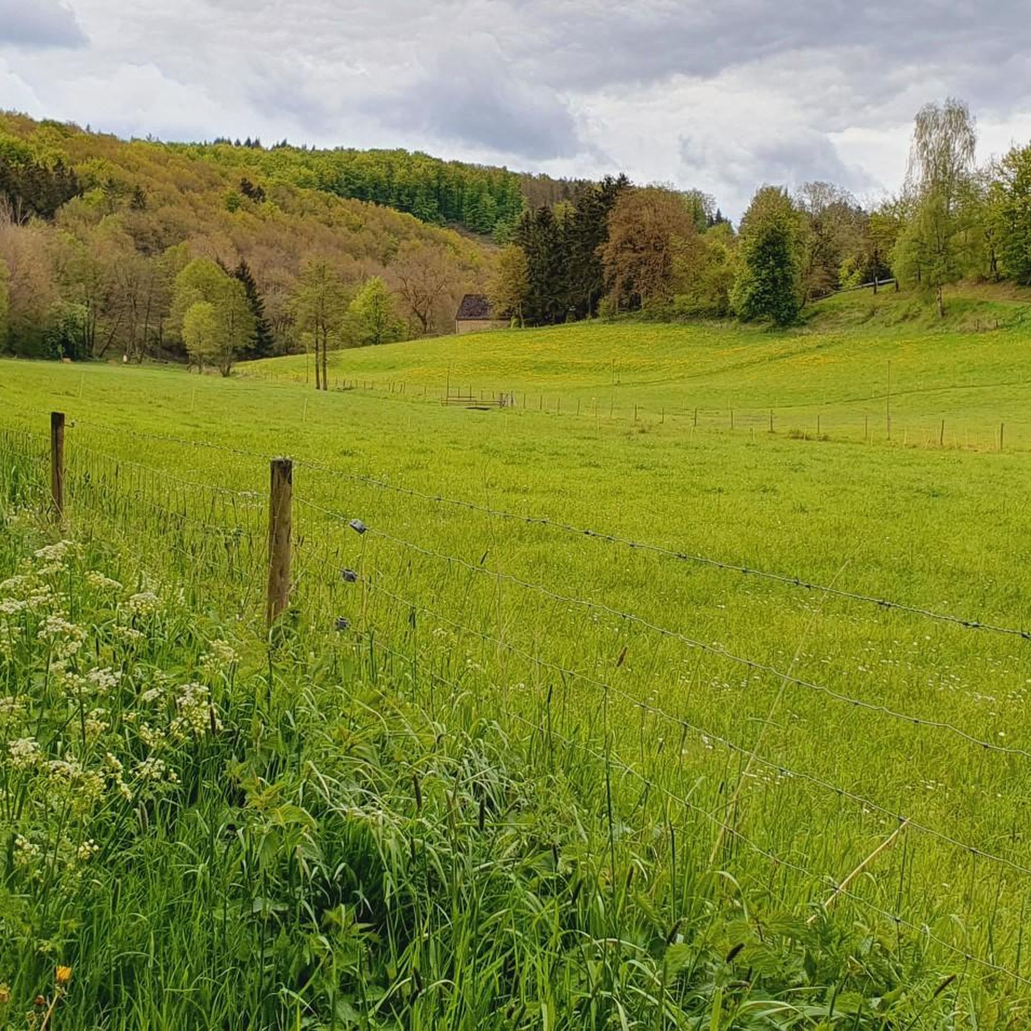
Hiking around Urmersbach offers a variety of trails through the Eifel region's characteristic landscape. The area features rolling hills, dense woodlands, and open rural paths. Elevation changes are generally moderate, making many routes accessible for different fitness levels. The terrain is primarily composed of natural surfaces, providing a classic hiking experience.
Best hiking trails around Urmersbach
- The most popular hiking route is Hiking loop from Urmersbach, a 4.4 miles (7.0 km) trail that takes 1 hour 56 minutes to…
Last updated: July 4, 2026
4.7
(9)
38
hikers
7.04km
01:57
120m
120m
Easy hike. Great for any fitness level. Easily-accessible paths. Suitable for all skill levels.
4.0
(4)
13
hikers
11.7km
03:21
270m
260m
Moderate hike. Good fitness required. Easily-accessible paths. Suitable for all skill levels.

Sign up for free
5.0
(2)
17
hikers
6.48km
01:46
100m
100m
Easy hike. Great for any fitness level. Easily-accessible paths. Suitable for all skill levels.
5.0
(2)
9
hikers
13.8km
03:54
290m
290m
Moderate hike. Good fitness required. Easily-accessible paths. Suitable for all skill levels.
5.0
(1)
7
hikers
3.41km
00:54
30m
40m
Easy hike. Great for any fitness level. Easily-accessible paths. Suitable for all skill levels.
Get access to more routes and recommendations from other explorers.
Sign up for free
Already have an account?
Our route recommendations are based on thousands of hikes, rides, and runs completed by other people on komoot.
Start today with a free account
Your next adventure awaits.
Login or Signup
Tips from the Community

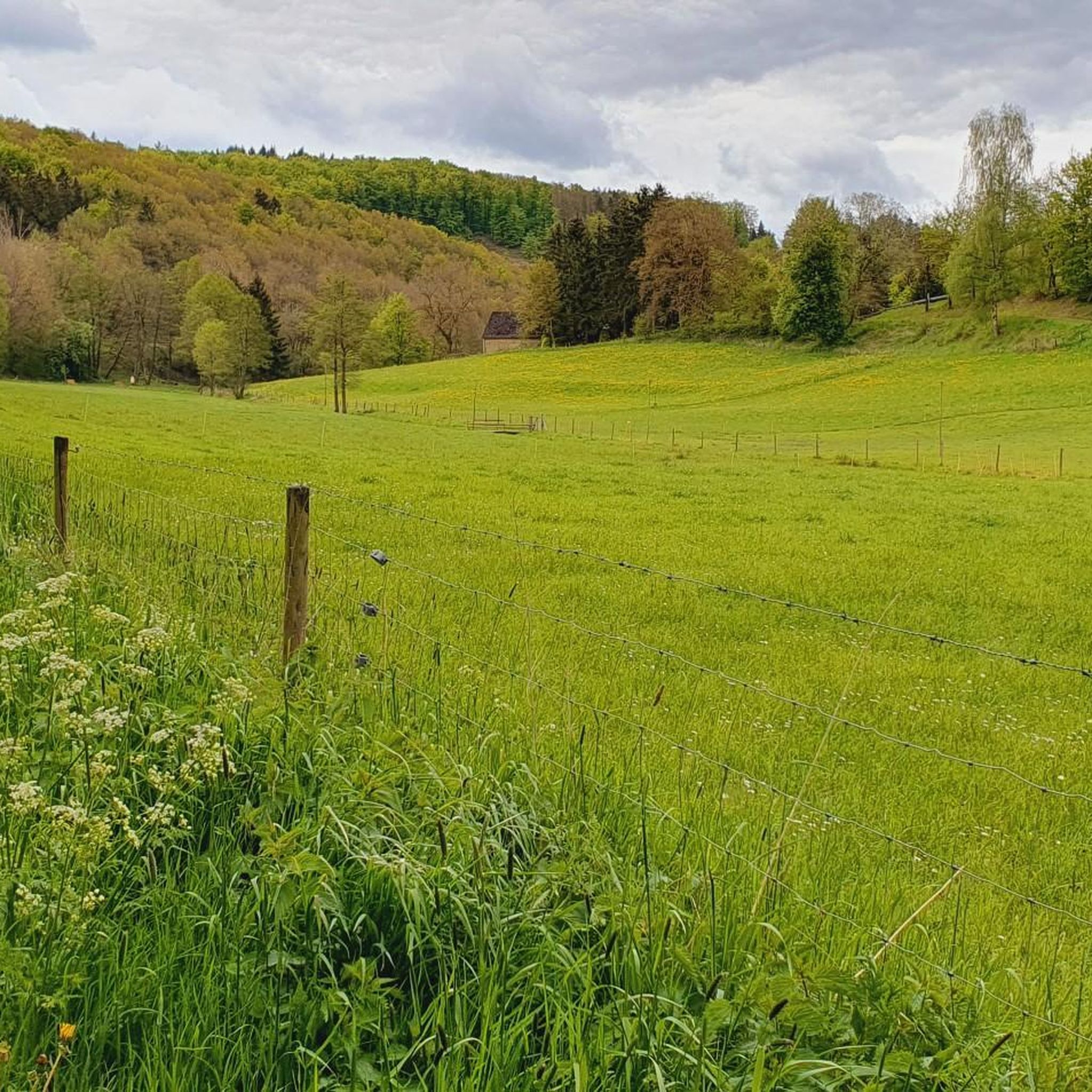
It looks a bit inconspicuous, but it's a beautiful place.
0
0

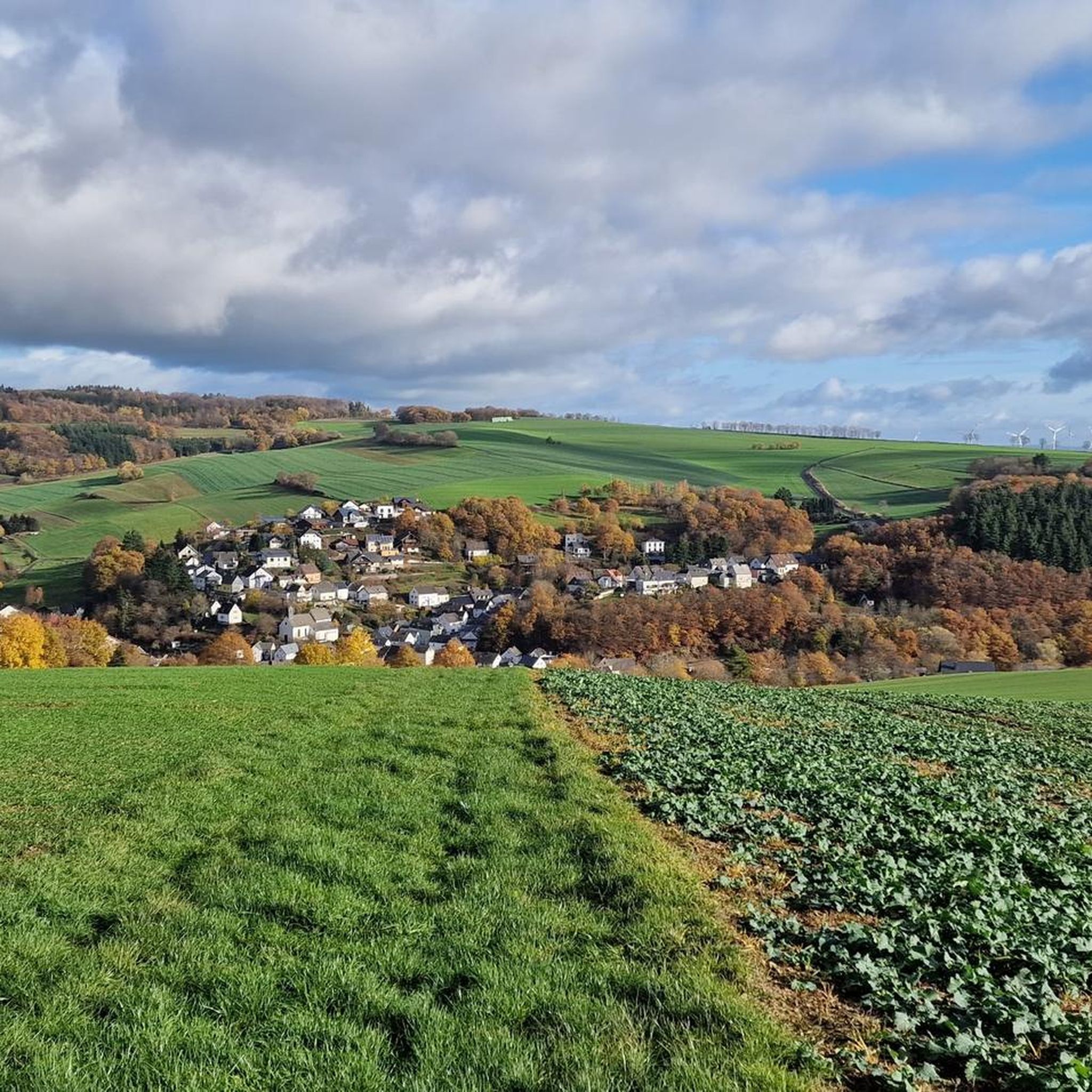
A fantastic view of Bermel. Great hiking trails and beautiful nature.
0
0

A small guide for people who walk their way to Santiago de Compostela! ☝️
0
0

The Hochbermel nature reserve is located in the Mayen-Koblenz district in Rhineland-Palatinate. The approximately 65-hectare area, which was declared a nature reserve in 2001, extends southeast of the municipality of Bermel around the former basalt quarry at Hochbermel (570 m), which has been closed since the end of the 1970s.
3
0

From here there is a great view of the Hohe Acht and the Virneburg.
3
0
The Hochbermel, an extinct basalt volcano and 570 meter high mountain, was used as a basalt quarry, which was closed around 1970.
1
0
Nice rest area with a view of a small pond and fruit trees.
0
0

Frequently Asked Questions
How many hiking trails are there in Urmersbach?
Urmersbach offers a wide selection of hiking opportunities, with over 590 routes available. These trails cater to various preferences, from leisurely strolls to more challenging excursions through the Eifel region.
Are there easy hiking trails suitable for beginners or families in Urmersbach?
Yes, Urmersbach is very family-friendly, with over 310 easy hiking trails. These routes typically feature moderate elevation changes and natural surfaces. An excellent option is the Geisen Hill – Ramel-Berg loop from Düngenheim, a 4.0-mile trail that leads over gentle hills and through rural landscapes.
Can I find circular hiking routes around Urmersbach?
Many of the hiking routes around Urmersbach are designed as circular trails, allowing you to start and end at the same point. For example, the popular Hiking loop from Hauroth is an easy 2.1-mile circular path, perfect for a shorter outing.
Are hiking trails in Urmersbach dog-friendly?
Most trails in the Urmersbach area are suitable for dogs, offering plenty of natural paths through woodlands and open fields. It's always recommended to keep dogs on a leash, especially near livestock or in nature reserve areas, and to carry water for both yourself and your pet.
Where can I find parking for hiking trails in Urmersbach?
Parking is generally available at the starting points of many trails, particularly in and around the villages like Urmersbach, Hauroth, and Düngenheim. Specific parking information is often detailed on individual komoot Tour pages, so check the route you plan to hike for the most accurate details.
What natural attractions or landmarks can I see while hiking near Urmersbach?
The Urmersbach area, nestled in the Eifel, offers several interesting sights. You can explore historical sites like the Monreal Historic Old Town and the Löwenburg Ruins. For natural beauty, consider visiting The Rausch Waterfall or enjoying panoramic views from the Boos Eifel Observation Tower.
What is the typical length or duration of hikes in Urmersbach?
Hikes in Urmersbach vary in length and duration. You can find shorter walks, such as the Hiking loop from Urmersbach, which is 4.4 miles and takes about 2 hours. Longer, more moderate trails like the Düngenheim Mill Chapel – Bausberg mine loop from Düngenheim cover 8.5 miles and can take around 4 hours.
When is the best time of year to go hiking in Urmersbach?
The Eifel region around Urmersbach is beautiful year-round. Spring brings blooming wildflowers, while autumn offers vibrant foliage. Summer provides pleasant temperatures for longer hikes. Even winter can be enchanting, with crisp air and potential for snowy landscapes, though some paths might be slippery.
Is Urmersbach suitable for winter hiking?
Yes, Urmersbach can be a lovely destination for winter hiking, especially on clear, cold days. The dense woodlands offer some shelter, and the rolling hills can be picturesque with a dusting of snow. Always check local weather conditions and trail reports, and wear appropriate footwear and layers for safety and comfort.
Are there hiking routes with pub stops or places to eat along the way?
While specific routes with designated pub stops are not always highlighted, many trails pass through or near villages where you can find local eateries or traditional Gasthäuser. It's a good idea to check the map of your chosen route for nearby towns or points of interest that might offer refreshment options.
What do other hikers say about the trails in Urmersbach?
The hiking trails in Urmersbach are highly regarded by the komoot community, boasting an average rating of 4.5 stars from over 5,600 reviews. Hikers frequently praise the well-maintained paths, the peaceful atmosphere of the Eifel woodlands, and the diverse landscapes that make each tour unique.
Can I reach hiking trails in Urmersbach using public transport?
While Urmersbach is a rural area, some public transport options, primarily bus services, connect it to larger towns. However, direct access to all trailheads via public transport might be limited. It's advisable to check local bus schedules and routes in advance if you plan to rely on public transport for your hiking trip.
Most popular attractions around Urmersbach

Get inspired with the komoot mobile app


Explore more
Browse the best Hikes in other regions.
