The best walks and hikes around Urschmitt
4.6
(27507)
100,208
hikers
857
hikes
Hiking around Urschmitt, nestled at the foot of the Eifel Mountains, offers diverse terrain for outdoor enthusiasts. The region features a volcanic landscape with unique geological formations and scenic trails. Proximity to the Moselle river provides access to idyllic vineyards, while the Eifel Mountains offer a mix of forests, meadows, and varied elevation profiles. Many routes provide far-reaching views into the Vulkaneifel and across the Moselle heights.
Best hiking trails around Urschmitt
- The most popular hiking route is Four Lakes…
Last updated: July 4, 2026
4.9
(318)
1,128
hikers
6.23km
02:33
360m
360m
Hard hike. Good fitness required. Sure-footedness, sturdy shoes and alpine experience required.
4.6
(177)
537
hikers
9.22km
02:44
270m
270m
Moderate hike. Good fitness required. Easily-accessible paths. Suitable for all skill levels.

Sign up for free
4.8
(125)
417
hikers
6.34km
02:04
240m
240m
Moderate hike. Good fitness required. Mostly accessible paths. Sure-footedness required.
4.7
(66)
180
hikers
7.65km
02:12
170m
170m
Moderate hike. Good fitness required. Mostly accessible paths. Sure-footedness required.
4.6
(92)
258
hikers
4.60km
01:26
150m
150m
Moderate hike. Great for any fitness level. Mostly accessible paths. Sure-footedness required.
Get access to more routes and recommendations from other explorers.
Sign up for free
Already have an account?
Our route recommendations are based on thousands of hikes, rides, and runs completed by other people on komoot.
Start today with a free account
Your next adventure awaits.
Login or Signup
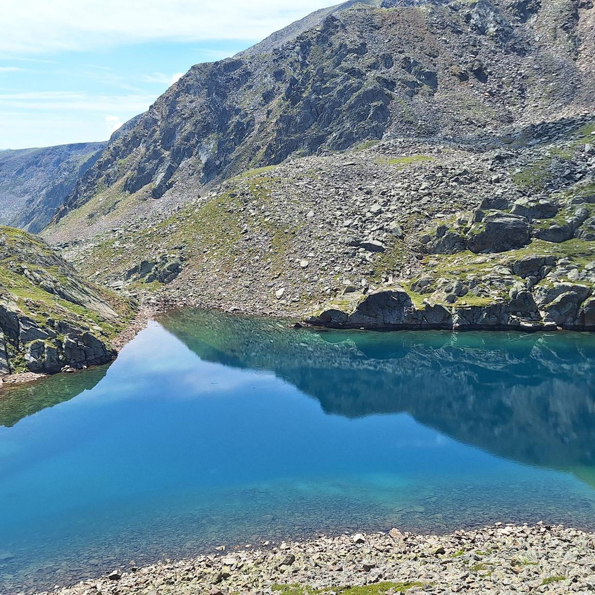
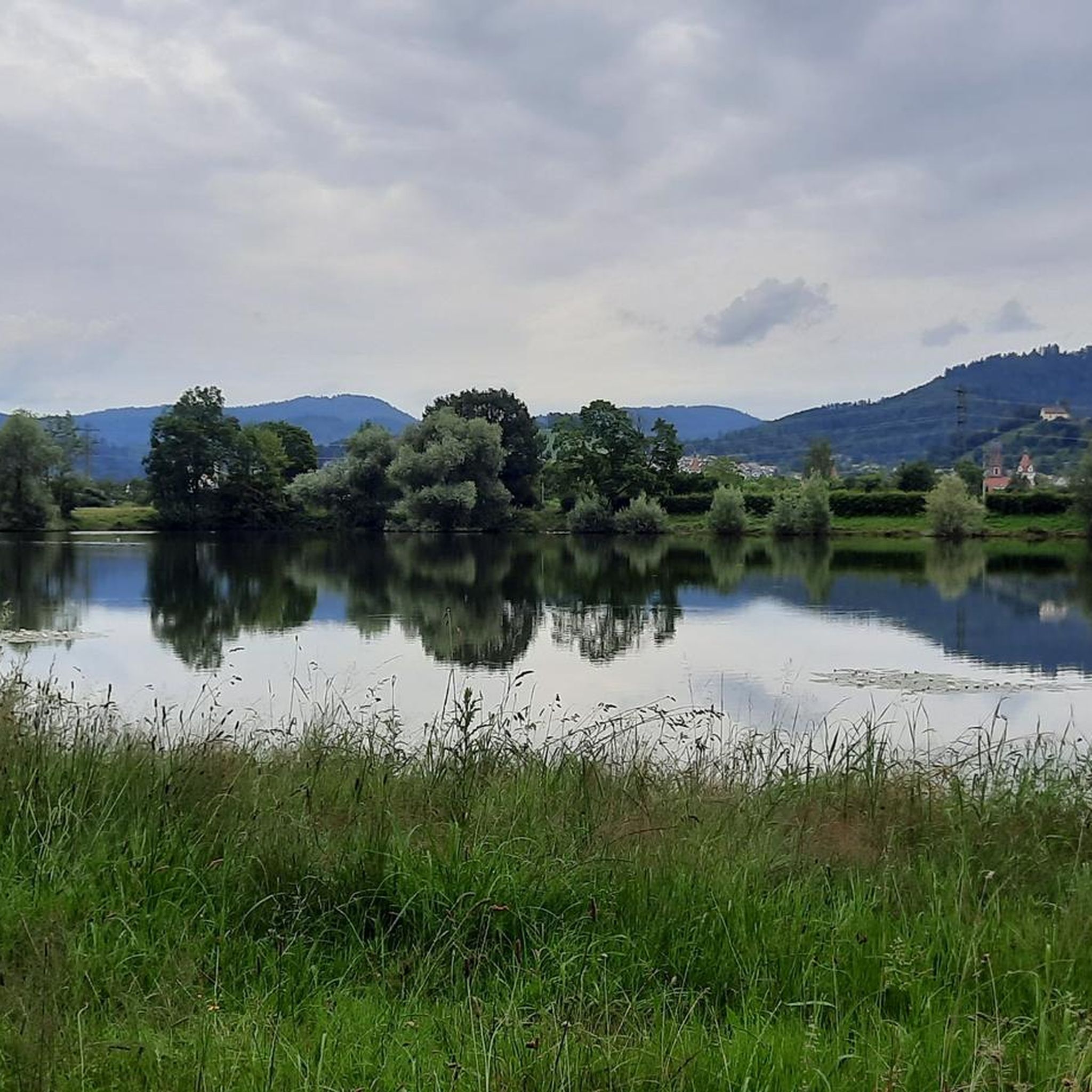
Tips from the Community

Very steep, it was quite challenging, but it depends on the person and their fitness level. But what goes up must come down!
2
0

The path up there is nice and straight with no incline.
1
0
The path to the summit cross is very steep. You need to be in good shape.
2
0

There are great climbing sections along the way...
0
0

From the road, normally only for agriculture and forestry... But the parking lot was full.
1
0

This parking lot is a bit off the road... don't be surprised.
2
0

The walk to the waterfall is really a bit strenuous, but you are rewarded for it. This was really the highlight of the hike
2
0

Frequently Asked Questions
How many hiking trails are there in Urschmitt?
There are over 860 hiking trails around Urschmitt, catering to various preferences and skill levels. This includes more than 380 easy routes, over 360 moderate trails, and nearly 120 difficult options for experienced hikers.
What do other hikers say about the trails around Urschmitt?
The hiking trails around Urschmitt are highly rated by the komoot community, with an average score of 4.6 stars from over 25,000 reviews. Hikers often praise the diverse volcanic landscapes, the scenic views of the Moselle, and the well-maintained paths through forests and vineyards.
Are there any notable natural features or landmarks to see while hiking near Urschmitt?
Yes, the region is rich in natural beauty and historical landmarks. You can explore the unique volcanic landscape of the Eifel, enjoy views of the Moselle river and its idyllic vineyards, and discover features like the Moselle loop. Notable attractions include the impressive Klidinger Waterfall and the dramatic View of the Moselle Bend loop from Bremm, which offers stunning panoramas.
Are there any hikes that feature waterfalls near Urschmitt?
Yes, the area boasts several beautiful waterfalls. A popular option is the Klidinger Waterfall – Klidinger Brook Trail loop from Kliding, which leads you through natural water features. Other highlights include the Elf Grotto and Elbesbach Waterfall and The Rausch Waterfall.
Are there family-friendly hiking options around Urschmitt?
Many of the easy and moderate trails around Urschmitt are suitable for families. These routes often feature gentle inclines and offer opportunities to enjoy nature without excessive challenge. Look for trails that are shorter in distance and have less elevation gain for a comfortable family outing.
Can I bring my dog on hikes in the Urschmitt area?
Generally, dogs are welcome on most hiking trails around Urschmitt. However, it's always advisable to keep your dog on a leash, especially in nature reserves, near livestock, or in areas with wildlife. Please also ensure you clean up after your pet to maintain the natural beauty of the trails.
Are there many circular hiking routes available?
Yes, the region offers numerous circular hiking routes, allowing you to start and end your journey at the same point. Examples include the Four Lakes Viewpoint – Calmont Viewpoint loop from Beuren and the Hiking loop from Beuren, both providing diverse scenery and convenient navigation.
What kind of terrain and difficulty levels can I expect on hikes around Urschmitt?
Hikes around Urschmitt offer a varied terrain, from gentle paths through vineyards and meadows to more challenging ascents in the Eifel Mountains. You'll find a mix of volcanic landscapes, dense forests, and trails with varied elevation profiles. Difficulty levels range from easy strolls to difficult routes with significant climbs, catering to all fitness levels.
Which hikes offer the best panoramic views of the Moselle Valley?
For breathtaking panoramic views, consider routes that lead to prominent viewpoints. The Four Lakes Viewpoint – Calmont Viewpoint loop from Beuren is known for its expansive vistas of the Moselle landscape. The Calmont via ferrata, while more challenging, also provides stunning views of the Moselle bend.
What is the best time of year to go hiking around Urschmitt?
The best time to hike around Urschmitt is typically from spring to autumn. Spring brings blooming wildflowers and pleasant temperatures, while autumn offers vibrant foliage and comfortable hiking conditions. Summer is also popular, but be prepared for warmer weather, especially on exposed trails. Winter hiking is possible, but some trails might be slippery or require appropriate gear.
Are there any longer or more challenging hikes for experienced trekkers?
Yes, for experienced trekkers seeking a challenge, there are difficult routes available. The View of the Moselle Bend loop from Bremm is a difficult 6.3 km trail with significant elevation gain, offering a rewarding experience. The Calmont via ferrata, described as a mountain trail with secured passages, also provides a challenging adventure for sure-footed hikers.
Are there places to relax after a day of hiking?
After a day of exploring the trails, you can find relaxation at the Vulkaneifel Therme in Bad Bertrich, which is just 6 km from Urschmitt. Additionally, many local villages along the Moselle offer charming cafes and pubs where you can unwind and enjoy regional specialties.
Are there any historical castles or sites accessible from hiking trails?
Absolutely. The region is home to magnificent castles that can be admired from various hiking routes.
Eltz Castle, often considered one of Germany's most beautiful, can be viewed from specific points along the Moselsteig trail. Another impressive sight is Cochem Castle (Reichsburg Cochem), which stands prominently above the town and is visible from several vantage points on nearby hiking routes.
Most popular attractions around Urschmitt

Get inspired with the komoot mobile app


Explore more
Browse the best Hikes in other regions.
