The best running trails around Chaudfontaine
4.5
(60)
3,170
runners
108
runs
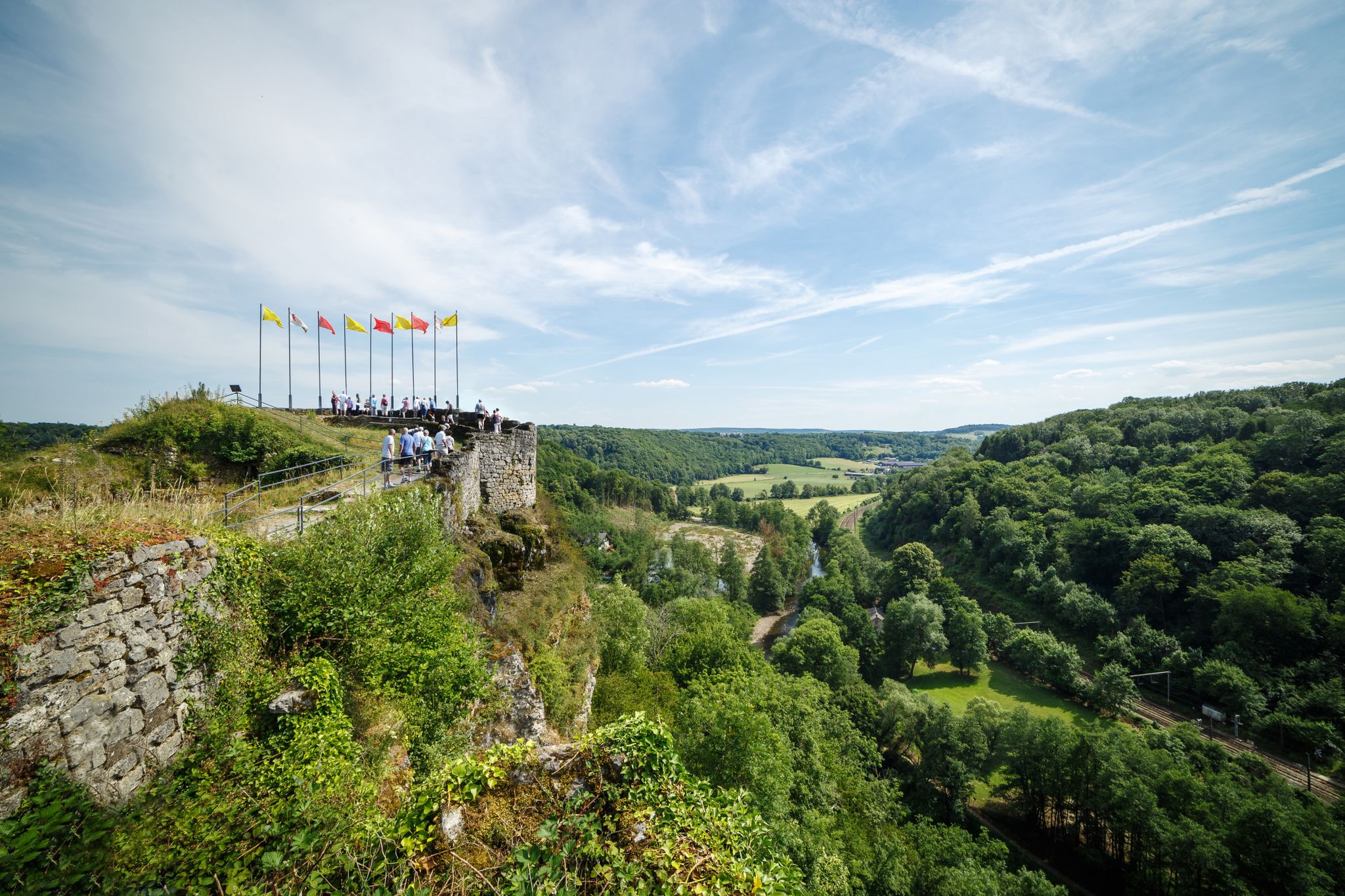
Jogging around Chaudfontaine offers diverse terrain through a picturesque wooded valley. The region is characterized by its location along the Vesdre river, providing scenic waterside running opportunities. Trails wind through forests, along rocky heights, and across clearings, often featuring varied elevation. This landscape provides a mix of paths and roads suitable for both casual jogs and more challenging trail runs.
Best jogging routes around Chaudfontaine
- The most popular jogging route is Savanna at Bois-les-Dames – Devil's Bridge loop from Beaufays…
Last updated: August 15, 2026
5.0
(1)
425
runners
11.7km
01:14
80m
80m
Moderate run. Good fitness required. Mostly paved surfaces. Suitable for all skill levels.
5.0
(2)
236
runners
Hard run. Very good fitness required. Mostly paved surfaces. Suitable for all skill levels.

Sign up for free
4.0
(3)
193
runners
12.3km
01:24
250m
250m
Moderate run. Good fitness required. Mostly paved surfaces. Suitable for all skill levels.
170
runners
13.6km
01:38
330m
330m
Hard run. Very good fitness required. Mostly paved surfaces. Suitable for all skill levels.
4.3
(4)
125
runners
11.2km
01:14
170m
170m
Moderate run. Good fitness required. Mostly paved surfaces. Suitable for all skill levels.
Get access to more routes and recommendations from other explorers.
Sign up for free
Already have an account?
Our route recommendations are based on thousands of hikes, rides, and runs completed by other people on komoot.
Start today with a free account
Your next adventure awaits.
Login or Signup
Other adventures around Chaudfontaine

Tips from the Community

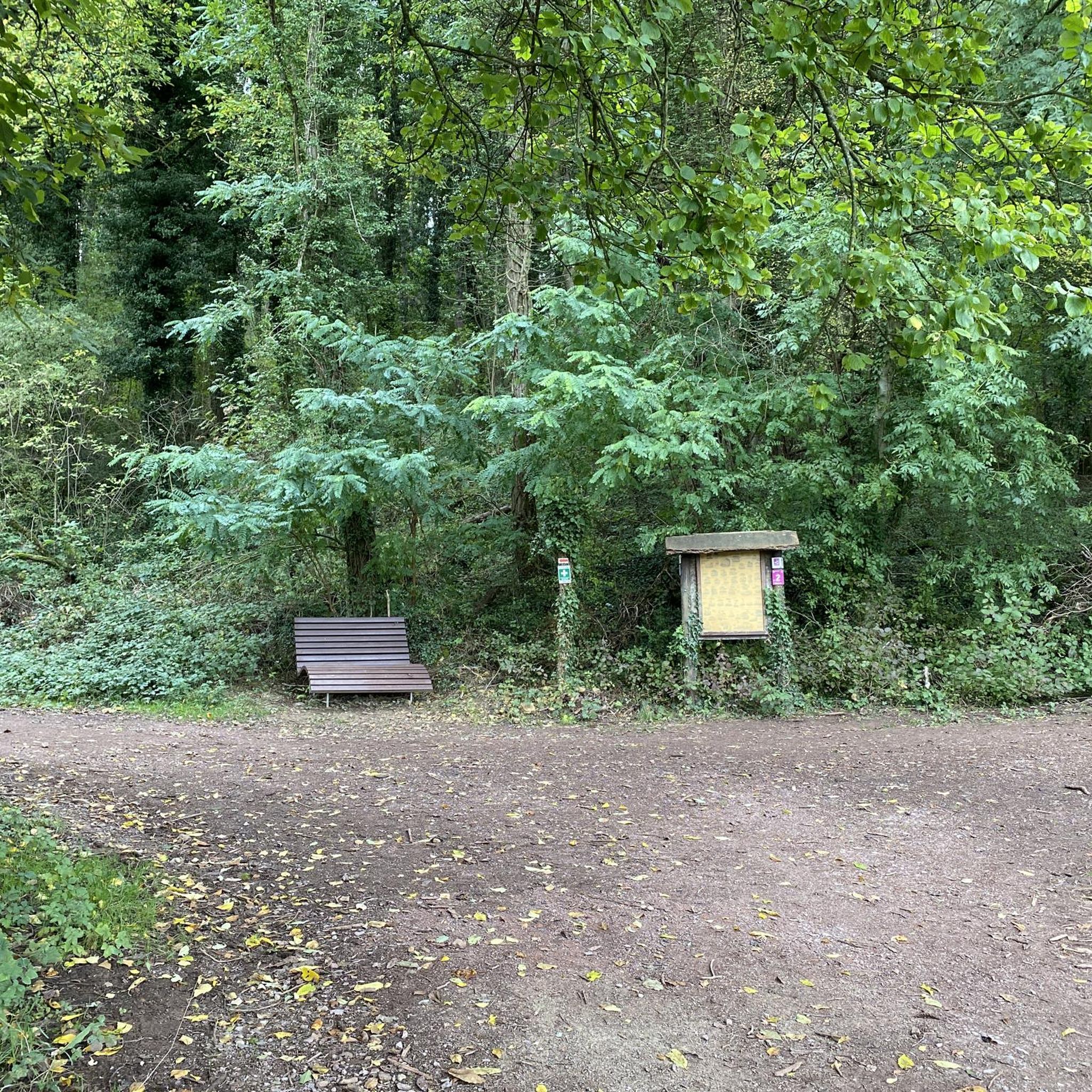
A few stone steps, lost in the middle of the woods… Sometimes it only takes a little to give a soul to a path. This old staircase is one of those little details that could easily be missed, but which tell of another era in Chaudfontaine, when the heights were already frequented by walkers coming to enjoy the spa town.
2
0
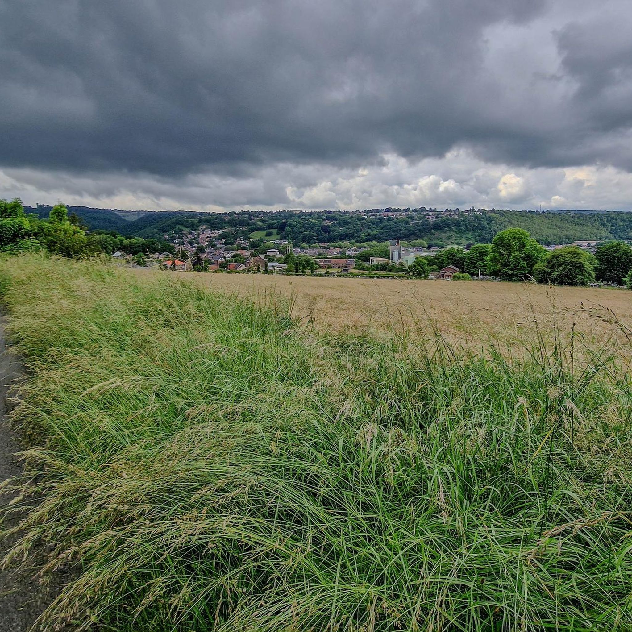
Le Bois-les-Dames is one of those places that surprise. Just a few kilometers from Liège, you go from undergrowth to open moors, from small streams to calamine meadows, with beautiful panoramas of the Vesdre valley in places. A landscape that is both wild and surprisingly close to the city. A great discovery for those who love hikes that are out of the ordinary.
2
0
A stone's throw from Liège, Bois-les-Dames offers an astonishing landscape that one does not expect to find here. Its open moors, gnarled trees, and changing meadows give it the air of a small savannah. An exotic hike, between forest and open spaces, with the Vesdre valley as a backdrop. A lovely corner of nature to discover on the outskirts of the city.
1
0
Lost in the heart of the Chaudfontaine woods, the Devil's Bridge (Pont du Diable) intrigues as much as it attracts. This small arch of dry stones, perched on the schist rocks, seems almost incongruous in the middle of the forest. And like any good "Devil's Bridge", it has its legend… A passage full of character that gives this hike a little touch of mystery.
1
0


A magnificent path leading to the rock at the end of the world.
2
0

repairs please
0
0
Frequently Asked Questions
What kind of terrain can I expect on running trails around Chaudfontaine?
The region offers a diverse mix of terrain, from scenic waterside paths along the Vesdre river to trails winding through dense forests like Bois des Manants and Bois-les-Dames. You'll find varied paths, including rocky sections, clearings, and some roads, with options ranging from relatively flat stretches to routes with significant elevation gain, especially in areas like the Ourthe Valley.
Are there any challenging running routes in Chaudfontaine for experienced runners?
Yes, Chaudfontaine is known for its challenging trail running options. Routes like the Savanna at Bois-les-Dames – Devil's Bridge loop from Beaufays, which covers 10.6 miles (17.0 km) with over 600 meters of elevation gain, offer a demanding experience. Another difficult option is the View of Pays de Herve – Savanna at Bois-les-Dames loop from Chaudfontaine, a 16.2-mile (26.1 km) trail with over 800 meters of ascent.
How many running routes are available in the Chaudfontaine area?
There are nearly 100 dedicated running routes available around Chaudfontaine, catering to various fitness levels. This includes 4 easy routes, 74 moderate routes, and 17 difficult routes, ensuring there's something for everyone from beginners to seasoned trail runners.
What are some scenic viewpoints or natural features to look out for on the running trails?
Many routes offer breathtaking views, particularly those traversing the Pays de Herve or along rocky heights above the Ourthe Valley, such as the iconic Roche-aux-Faucons Ridge Trail. The Vesdre river valley itself provides picturesque waterside scenery, and areas like Bois-les-Dames and Bois des Manants offer beautiful forest landscapes.
Are there any family-friendly jogging routes in Chaudfontaine?
While many routes involve varied terrain and elevation, there are easier options suitable for families looking for a less strenuous run. Look for routes described as 'easy' or 'moderate' that stick to more even paths, often found along the river or within local parks like Parc Hauster, which offers a pleasant environment for a leisurely jog.
What do other runners say about the trails in Chaudfontaine?
The running routes in Chaudfontaine are highly rated by the komoot community, with an average score of 4.4 stars from over 50 reviews. Runners often praise the diverse terrain, the beauty of the wooded valleys, and the variety of options available for different skill levels. Over 2500 runners have used komoot to explore the area's trails.
Can I find circular running routes in Chaudfontaine?
Yes, many of the running routes in Chaudfontaine are designed as circular loops, allowing you to start and finish at the same point. For example, the Bois des Manants Forest Trail – Donnay Monument loop from Beaufays is a moderate 7.4-mile (11.9 km) circular path through dense woodlands.
Are there any specific landmarks or attractions near the running paths?
Beyond the natural beauty, you can find interesting points of interest. The Côte de La Redoute Climb, famous in cycling, is in the vicinity and offers a challenging ascent. You might also encounter historical sites like the Chaudfontaine Fort, which serves as a starting point for adventure trails, or the educational Source O Rama center.
What is the best time of year to go running in Chaudfontaine?
Chaudfontaine's natural beauty makes it suitable for running year-round. Spring and autumn offer pleasant temperatures and vibrant foliage, while summer provides longer daylight hours. Even in winter, the wooded trails can be beautiful, though some paths might be muddy or require more careful footing due to conditions.
Are there any moderate-difficulty running routes for those looking for a good workout without extreme challenge?
Absolutely. The majority of routes in Chaudfontaine are classified as moderate, offering a good balance of distance and elevation without being overly strenuous. An example is the Bois des Manants Forest Trail loop from Tilff, a 6.8-mile (10.9 km) route with manageable elevation, perfect for a solid workout.
Are there running routes that pass by water features or rivers?
Yes, Chaudfontaine is nestled in the Vesdre river valley, so many running routes naturally follow the river, offering scenic waterside runs. These paths provide a refreshing environment and often have flatter sections suitable for a steady pace.
What kind of elevation gain can I expect on the running trails?
Elevation gain varies significantly. While some routes are relatively flat, many trails in Chaudfontaine feature considerable ascents. For instance, the War memorial – Wild Garlic Valley loop from Embourg, a 8.5-mile (13.7 km) route, includes over 330 meters of climbing, providing a good challenge for those seeking hilly runs.
Most popular routes around Chaudfontaine
Most popular attractions around Chaudfontaine

Get inspired with the komoot mobile app


Explore more
Browse the best Running Trails & Routes in other regions.
