The best road cycling routes around Uznach
4.6
(212)
6,035
riders
73
rides
Road cycling around Uznach offers diverse terrain, from flat plains to challenging mountain ascents. The region is characterized by its proximity to Lake Zurich and Obersee, with routes often following the scenic Linth River. Cyclists can explore the expansive Linthebene, which provides relatively flat sections, or venture towards the rolling hills and the Glarner Alps for more significant climbs. This varied landscape provides options for different fitness levels and preferences.
Best road cycling routes around Uznach
- The most popular road…
Last updated: September 29, 2026
4.9
(8)
323
riders
81.9km
04:42
1,840m
1,840m
Hard road ride. Very good fitness required. Some segments of this route may be unpaved and difficult to ride.
5.0
(1)
152
riders
133km
06:55
2,270m
2,270m
Hard road ride. Very good fitness required. Some segments of this route may be unpaved and difficult to ride.

3.5
(2)
151
riders
20.5km
00:51
60m
60m
Easy road ride. Great for any fitness level. Mostly well-paved surfaces and easy to ride.
4.8
(4)
127
riders
25.5km
01:21
440m
440m
Moderate road ride. Good fitness required. Some segments of this route may be unpaved and difficult to ride.
4.5
(6)
110
riders
63.9km
03:07
860m
860m
Moderate road ride. Good fitness required. Mostly well-paved surfaces and easy to ride.
Get access to more routes and recommendations from other explorers.
Already have an account?
Our route recommendations are based on thousands of hikes, rides, and runs completed by other people on komoot.
Start today with a free account
Your next adventure awaits.
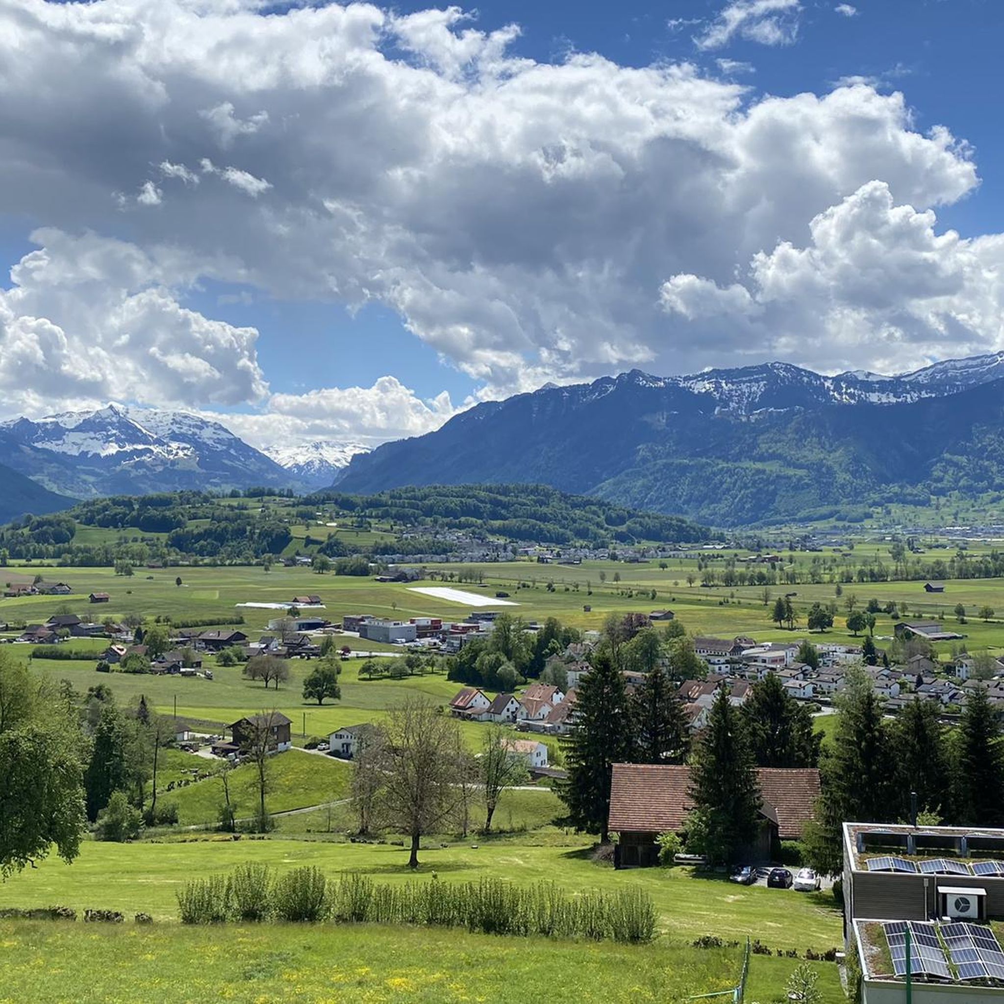
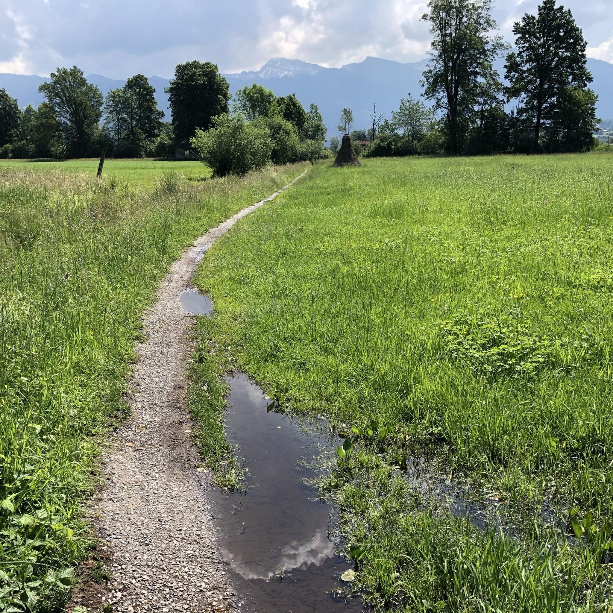
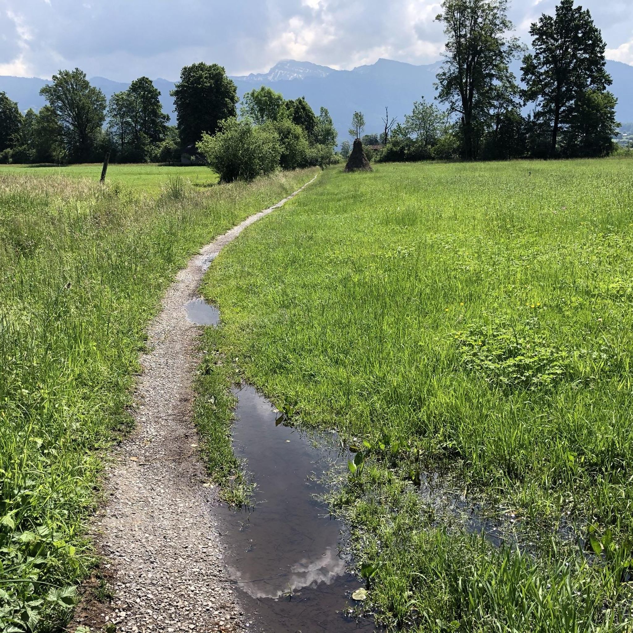
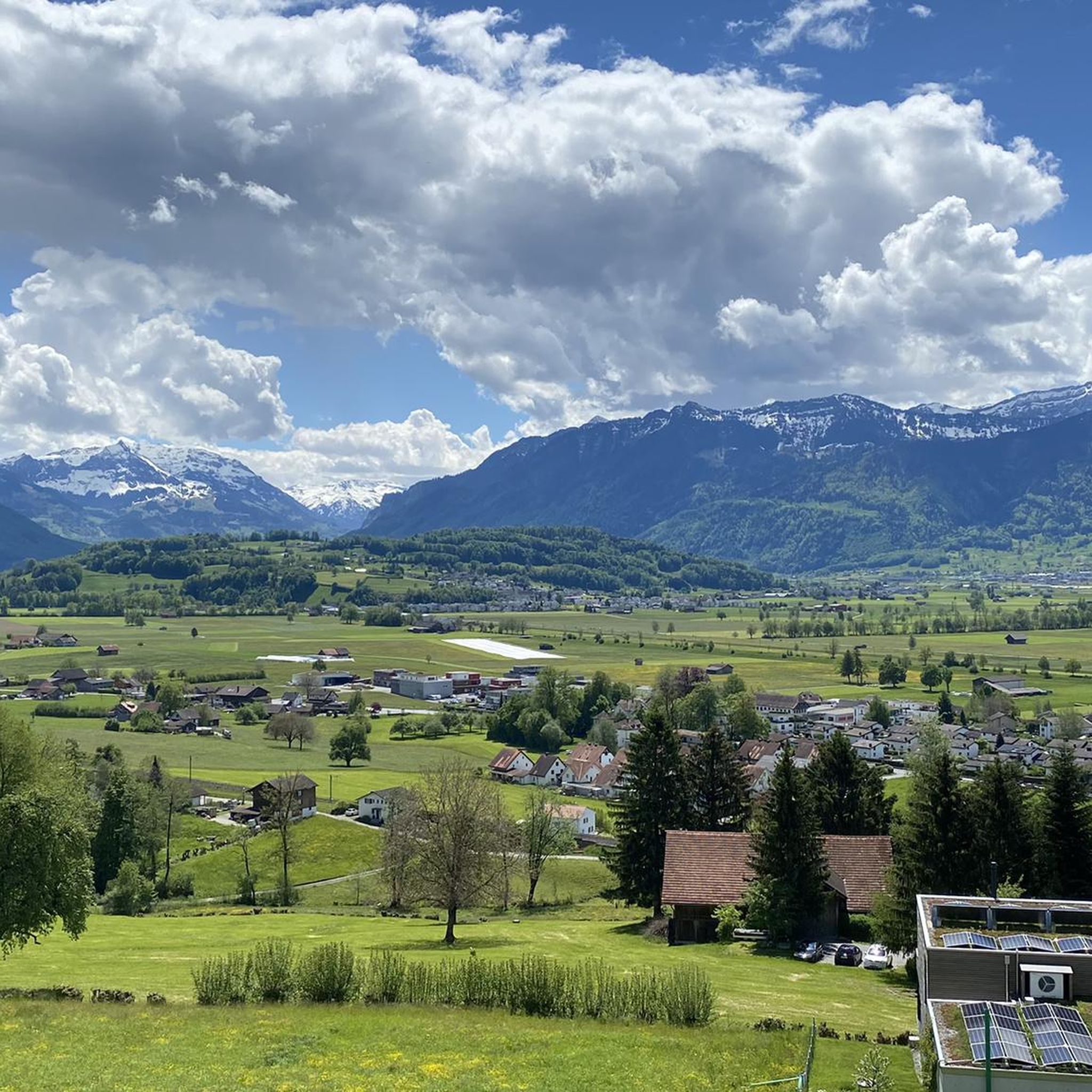
Tips from the Community

Beautiful, easy path along the southern shore of Sihlsee
0
0


Very good condition great bike path
0
0


Beautiful area around the lake. It is recommended to circle the lake clockwise so that you don't have oncoming traffic on the west side.
0
0
Nice path along the lake shore, but very busy during the day.
0
0
The old Rickenstrasse leads with little traffic from Wattwil to Ricken.
0
0
Frequently Asked Questions
What types of road cycling routes can I find around Uznach?
Uznach offers a diverse range of road cycling routes, from easy, flat rides along the Linth River and Lake Obersee to challenging ascents into the rolling hills and towards the Glarner Alps. You'll find options suitable for various fitness levels, including moderate routes through the Linthebene and demanding mountain passes.
How many road cycling routes are available in the Uznach area?
There are over 80 road cycling routes available around Uznach. These include approximately 9 easy routes, 51 moderate routes, and 20 difficult routes, ensuring a suitable option for every cyclist.
Are there any easy or beginner-friendly road cycling routes in Uznach?
Yes, Uznach offers several easy road cycling routes. For instance, the Schmerikon Lakeside – Schmerikon Marina loop from Schmerikon is an easy, paved option ideal for all fitness levels, offering serene views along the lake.
What are some challenging road cycling routes around Uznach?
For experienced riders seeking a challenge, routes like the Schwägalp Pass summit – Alpstein Range with Säntis loop from Uznach offer significant climbs and breathtaking vistas of the Alpstein Range. Another demanding option is the Ibergeregg Pass – Lake Sihl loop from Kaltbrunn, featuring substantial elevation gain.
What natural features and scenic viewpoints can I expect to see along the routes?
Road cycling routes around Uznach often feature continuous views of the Glarner Alps, the Linth Canal, and the picturesque Lake Zurich and Obersee. You can also find scenic points like the Buchberg or the lakeside in Lachen. The region is known for its rolling hills and the expansive Linthebene (Linth Plain).
Are there any attractions or landmarks to explore near the road cycling routes?
Yes, beyond the cycling itself, you can explore several attractions. Notable natural features include the Wissengubel Waterfall and the Brandenfels Cave and Waterfall. For panoramic views, consider visiting Alp Scheidegg. The region also features charming mountain inns like Tanzboden Mountain Inn.
What is the best time of year for road cycling in Uznach?
The region around Uznach is generally best for road cycling during the warmer months, typically from spring through autumn. This period offers pleasant temperatures and clear conditions to enjoy the diverse landscapes, from lakeside paths to mountain ascents. Winter cycling might be possible on lower, cleared routes, but higher passes could be inaccessible.
Are there circular road cycling routes available?
Many of the road cycling routes around Uznach are designed as loops, allowing you to start and finish at the same point. Examples include the Schmerikon Lakeside – Meilen Ferry Terminal loop and the Path Along the Alp River – Schloss Grynau and country inn loop.
What do other cyclists say about road cycling in Uznach?
The road cycling routes in Uznach are highly rated by the komoot community, with an average score of 4.5 stars from over 240 reviews. Cyclists often praise the varied terrain, from serene lakeside paths to challenging mountain views, and the well-maintained routes that cater to different skill levels.
Are there cafes or restaurants along the road cycling routes in Uznach?
Yes, many routes offer opportunities for stops at scenic points and villages where you can find cafes and restaurants. The region's popularity with cyclists means that amenities are often available, especially in lakeside towns and near popular attractions like mountain inns.
Is Uznach accessible by public transport for cyclists?
Uznach is well-connected within Switzerland's public transport network. Cyclists can often use trains or buses to reach starting points for routes, though it's advisable to check specific transport options and bike carriage rules for your chosen route and time of travel.
Are there family-friendly road cycling options in Uznach?
For families or those preferring easier rides, the region offers routes with mostly paved surfaces and minimal elevation gain. The 'Old Wooden Covered Bridge – Shore of Lake Obersee loop' is an example of an easy, paved option suitable for all fitness levels, providing a pleasant experience for families.
Most popular attractions around Uznach

Get inspired with the komoot mobile app


Explore more
Browse the best Road cycling routes in other regions.
