The best walks and hikes around Malle
4.3
(1058)
5,916
hikers
191
hikes
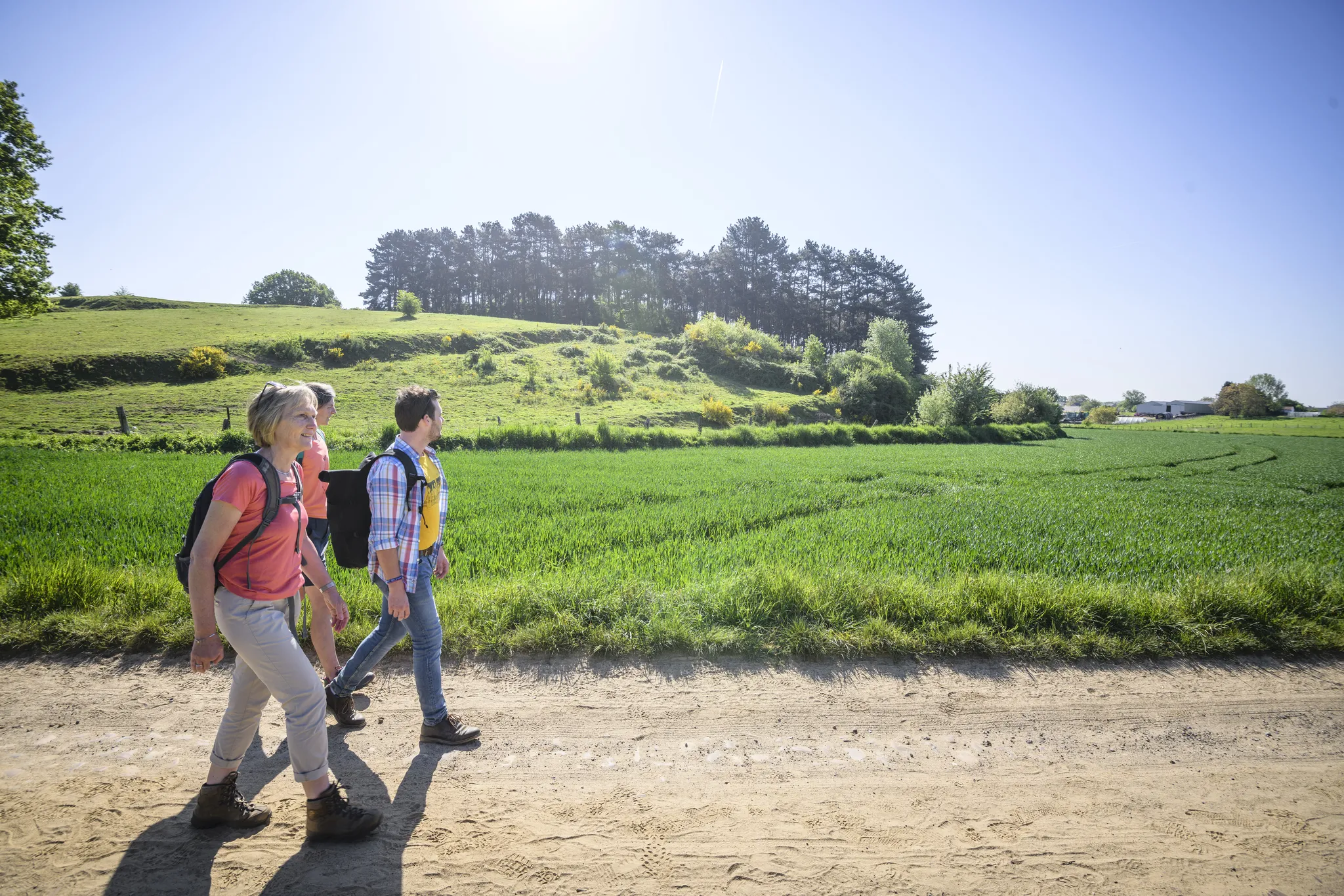
Hiking around Malle offers a network of trails through the flat, green landscapes of northern Belgium. The region is characterized by its low elevation, featuring woodlands, open fields, and historical estates. Hikers can expect routes that often pass by lakes and ponds, providing varied scenery. The terrain is generally gentle, making it accessible for a range of abilities.
Best hiking trails around Malle
- The most popular hiking route is Trappist Route Westmalle, a 5.6 miles (8.9 km) trail that…
Last updated: October 29, 2026
4.4
(186)
854
hikers
8.97km
02:16
10m
10m
Moderate hike. Good fitness required. Mostly walkable paths. Sure-footedness required.
4.0
(49)
257
hikers
10.4km
02:38
10m
10m
Moderate hike. Good fitness required. Easily walkable paths.

4.3
(53)
172
hikers
Hard hike. Very good fitness required. Easily walkable paths.
4.3
(41)
148
hikers
14.9km
03:46
10m
10m
Moderate hike. Good fitness required. Easily walkable paths.
4.3
(41)
139
hikers
11.2km
02:49
10m
10m
Moderate hike. Good fitness required. Easily walkable paths.
Get access to more routes and recommendations from other explorers.
Already have an account?
Our route recommendations are based on thousands of hikes, rides, and runs completed by other people on komoot.
Start today with a free account
Your next adventure awaits.
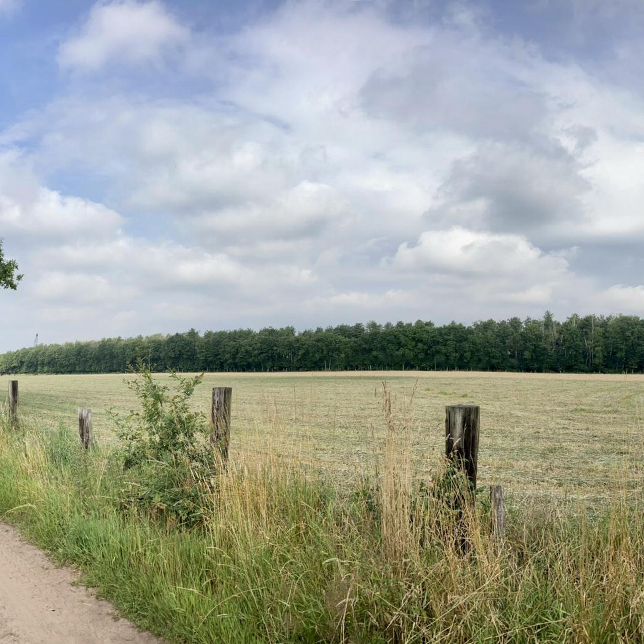
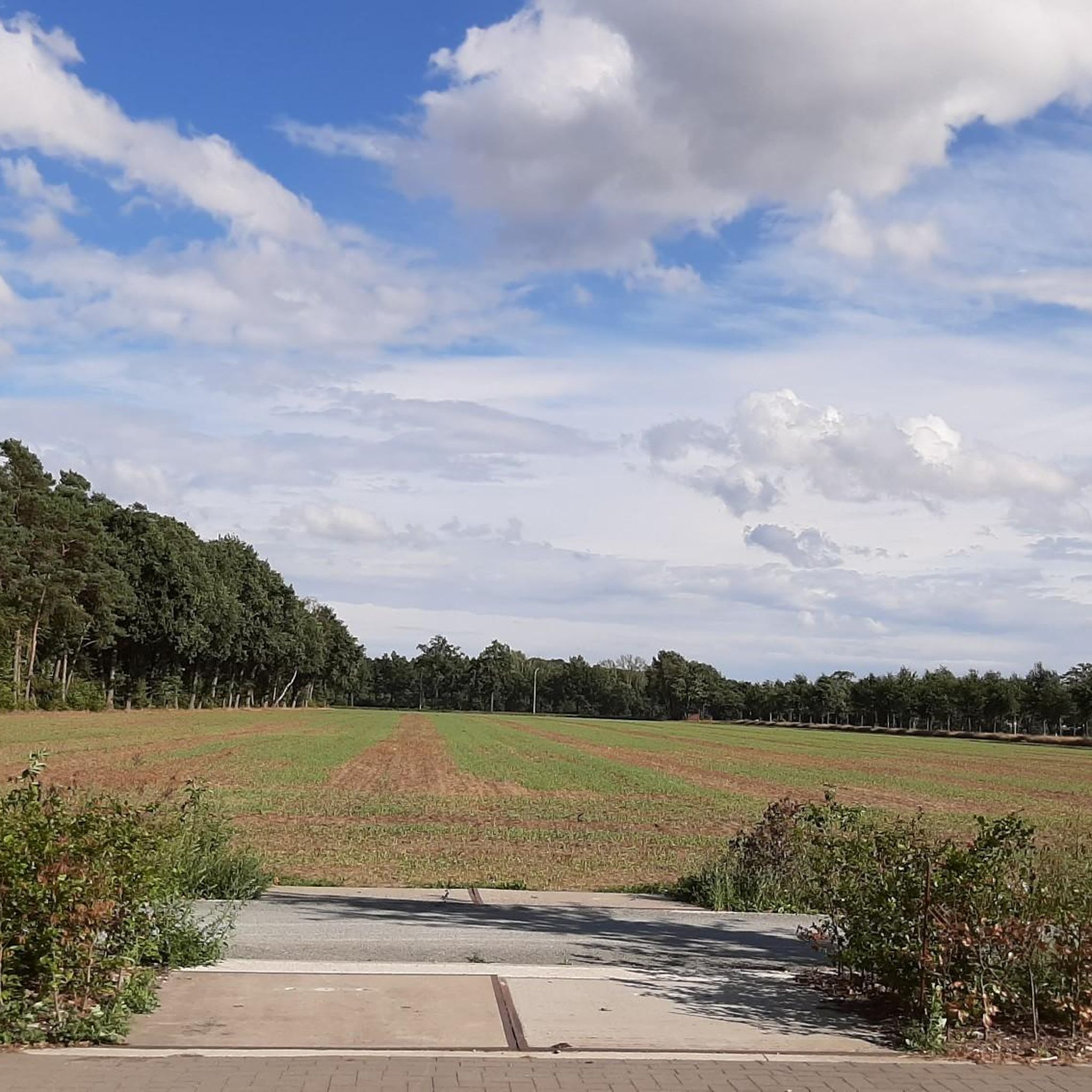
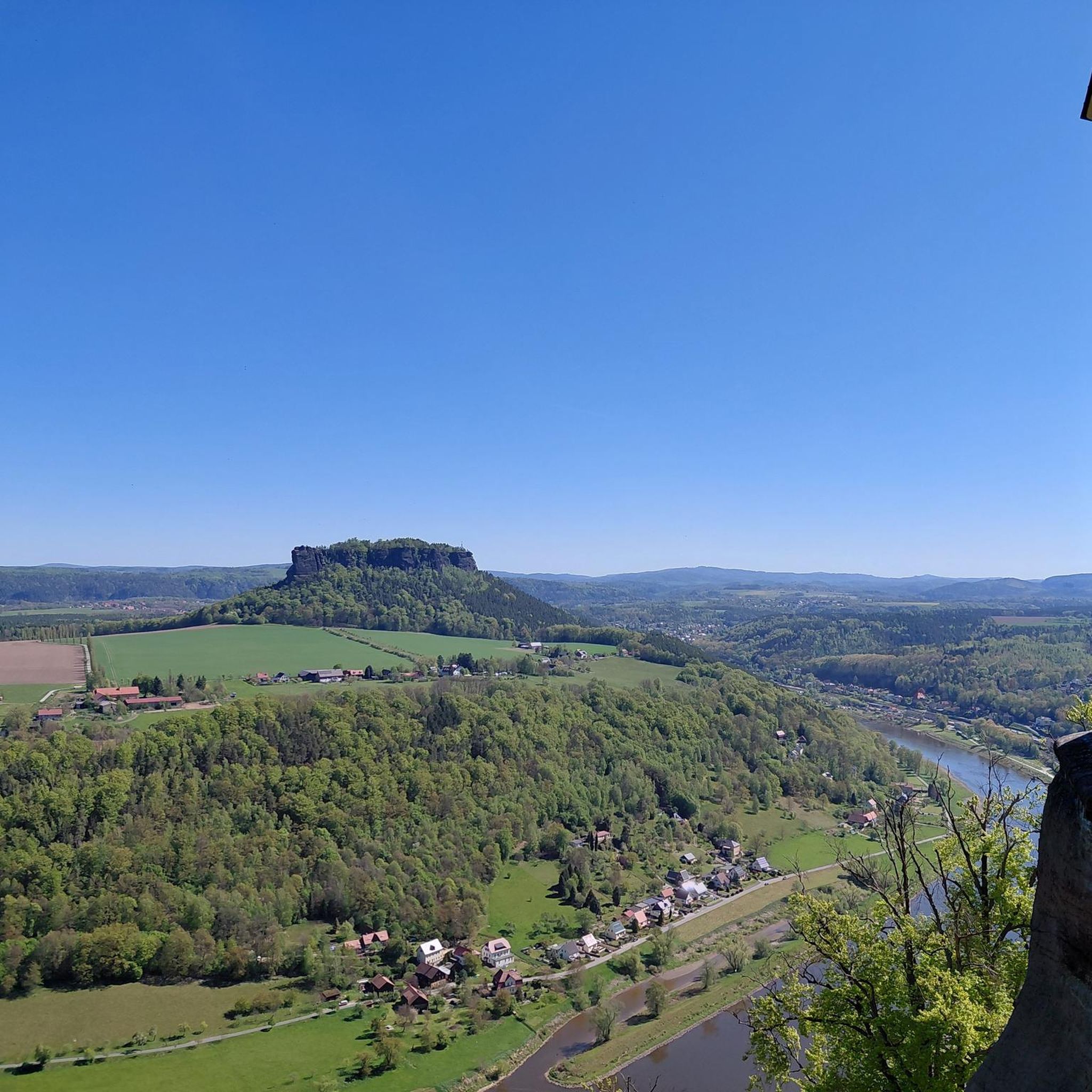

Tips from the Community

History The chapel was erected in 1626. At that time, the region was plagued by a pest epidemic. Legend has it that about 60 inhabitants of Oostmalle fled the village with the disease to the heath at Zalfen. Adriaan Mattheeusen, an inhabitant of Zalfen, who lost some of his children to the epidemic, was obliged to bury them in the heath and erected a chapel in their memory. Soon, the chapel served for funeral services, and the dead were buried in the adjacent cemetery. The chapel soon became an attraction for pilgrims. For this reason, it was enlarged in 1726 to its current appearance (see upper part in the side gable dated by means of sintered stone). The chapel is depicted on Ferraris' cabinet map (1770-1778) on a triangular plot of heath. A loop of tall trees surrounds the chapel. On Vandermaelen's map (1846-1854), the chapel is located south of the Salphen road, amidst a triangular forest plot. Description The Sint-Antonius chapel of Salphen is located south of the Salphen road, an old avenue of predominantly tall English oaks (Quercus robur), and is surrounded by tall trees (mainly Scots pine, Pinus sylvestris). It is an oriented brick chapel with a three-sided closed west facade and a lower rectangular choir under slate gable roofs (ridge parallel to the street) with a bell tower. On the east side, there are two tuit-gables on shoulder pieces with crenellations. On the north side, there are rectangular windows and a basket-arch door and a basket-arch door. The plastered and painted interior has a wooden frame with a tie beam. The furniture includes an altar from the 19th century and a painted wooden statue of Saint Anthony Abbot (late 15th or early 16th century).
0
0

Went for a walk there recently in very warm weather. The walk itself is more than beautiful, but all the wells were dry, except at the picnic spot. Such a shame to see.
2
0

Very beautiful castle almost in the center of Oostmalle and yet surrounded by tranquility
1
0

With a nice stop at the stairs.
0
0
Really beautiful and quiet nature. Surprisingly located behind some industry.
2
0

The Drieboomkensberg Pilgrimage Site (also spelled Drieboomkesberg) is a historic place of devotion in Westmalle (municipality of Malle), located on the highest point of a group of inland dunes. Dedication: The site is dedicated to Our Lady of Fever (also known as Help of the Sick). Origin of the name: The place is named after three large larch trees that used to stand on the hill. Tradition: For generations, the sick and believers have come together here for reflection and healing. In May, the Marian month, the Sint-Martinus parish of Westmalle still organizes an annual pilgrimage to this place. The Great Crucifix: On the top stands a large blue stone crucifix that was donated in 1948 by Count Thierry de Renesse and blessed by the abbot of the Westmalle Abbey.
7
0

Small chapel in honor of Saint Bernard, it lies on a small side path off the avenue leading to the abbey.
3
0
Frequently Asked Questions
How many hiking trails are available around Malle?
Malle offers a wide selection of hiking opportunities, with over 160 routes documented on komoot. These trails cater to various preferences, ranging from easy strolls to more challenging, longer-distance hikes.
What kind of landscapes can I expect to see while hiking in Malle?
The Malle region is characterized by its flat, green landscapes, featuring a mix of woodlands, open fields, and historical estates. Many routes also pass by tranquil lakes and ponds, providing varied and scenic views.
Are there any family-friendly hiking trails in Malle?
Yes, Malle has numerous easy trails suitable for families. Out of the over 160 routes, 94 are classified as easy, making them ideal for hikers of all ages and abilities. These gentle paths often wind through forests and past lakes, offering pleasant outings.
What do other hikers enjoy most about the trails in Malle?
The hiking trails in Malle are highly rated by the komoot community, with an average score of 4.3 stars from over 880 reviews. Hikers frequently praise the tranquil woodlands, the well-maintained paths, and the diverse scenery that includes estates and lakes.
Are there any circular walks available in Malle?
Many of the trails around Malle are designed as circular routes, allowing you to start and end at the same point. For example, the De Renesse Estate Avenue – Castle de Renesse loop from Malle is a popular moderate circular path that takes you through historic grounds.
What interesting sights or landmarks can I discover along the hiking routes?
Malle's hiking routes often lead past notable natural and historical features. You can explore areas like the Zwart Water or Duivelskuil Pond. The Eksterheide Nature Reserve also offers opportunities to experience local flora and fauna.
Are there any longer or more challenging hikes for experienced hikers?
While Malle is known for its gentle terrain, there are options for more experienced hikers. The Vraagheide Forest Trails – Kooldries Old Clay Pit Pond loop from Abdij van Westmalle is a challenging 13-mile (20.9 km) trail that takes approximately 5 hours to complete, leading through dense forest and past a former clay pit.
Can I find places to rest or have a snack along the trails?
Yes, some routes pass by points of interest where you might find amenities. For instance, the Het Boshuisje (De Loteling) in Zoerselbos is a cafe that can be a convenient stop. There are also several bird hides and observation points like the Eksterheide observation hide that offer places to pause.
Are there any trails that feature lakes or water bodies?
Absolutely. Malle's landscape includes several beautiful lakes and ponds. The View of Zwart Water Lake – Westmalle Castle loop from Malle is a great option that highlights the scenic Zwart Water. You can also find trails leading past Warandeplas and Kooldries Old Clay Pit Pond.
What is the general elevation gain like on Malle's hiking trails?
Malle is situated in a low-elevation region, meaning the hiking trails generally feature very gentle inclines and declines. Most routes have minimal elevation gain, making them accessible and enjoyable for a wide range of fitness levels.
Are there any trails that explore historical estates or castles?
Yes, Malle's region is home to historical estates. The De Renesse Estate Avenue – Castle de Renesse loop from Malle specifically guides you through the grounds of a historic estate, offering views of its castle.
Most popular attractions around Malle

Get inspired with the komoot mobile app


Explore more
Browse the best Hikes in other regions.
