The best running trails around Sint-Katelijne-Waver
4.2
(41)
2,081
runners
102
runs
Jogging routes Sint-Katelijne-Waver offer a blend of rural charm and natural areas, making it an appealing environment for outdoor activities. The region is characterized by green spaces, including tranquil forests like the Waverwoud, and picturesque paths alongside the Leuven-Dijle Canal. These diverse landscapes provide varied terrain for running, from flat canal towpaths to routes through wooded areas.
Best jogging routes around Sint-Katelijne-Waver
- The most popular jogging route is Ter Elst Castle Ruins loop from Walem, a 5.6 miles (9.1…
Last updated: August 27, 2026
103
runners
Moderate run. Good fitness required. Mostly paved surfaces. Suitable for all skill levels.
5.0
(1)
73
runners
7.05km
00:47
10m
10m
Moderate run. Good fitness required. Mostly paved surfaces. Suitable for all skill levels.

Sign up for free
54
runners
Moderate run. Good fitness required. Mostly paved surfaces. Suitable for all skill levels.
4.0
(1)
144
runners
Moderate run. Good fitness required. Mostly paved surfaces. Suitable for all skill levels.
41
runners
6.75km
00:42
10m
10m
Moderate run. Good fitness required. Mostly paved surfaces. Suitable for all skill levels.
Get access to more routes and recommendations from other explorers.
Sign up for free
Already have an account?
Our route recommendations are based on thousands of hikes, rides, and runs completed by other people on komoot.
Start today with a free account
Your next adventure awaits.
Login or Signup
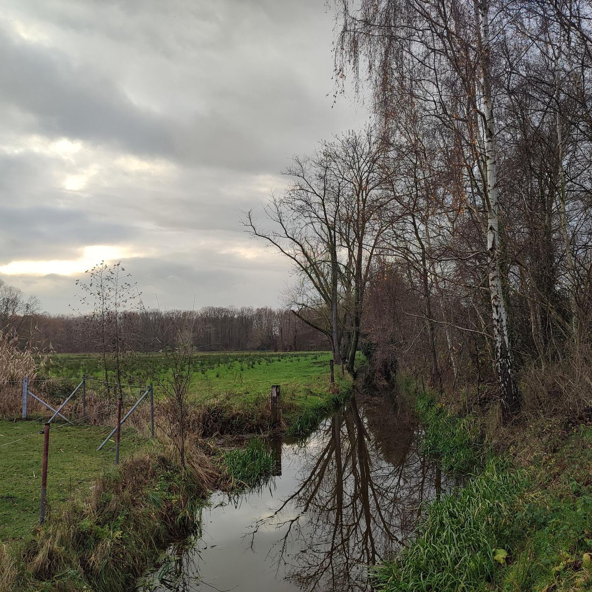
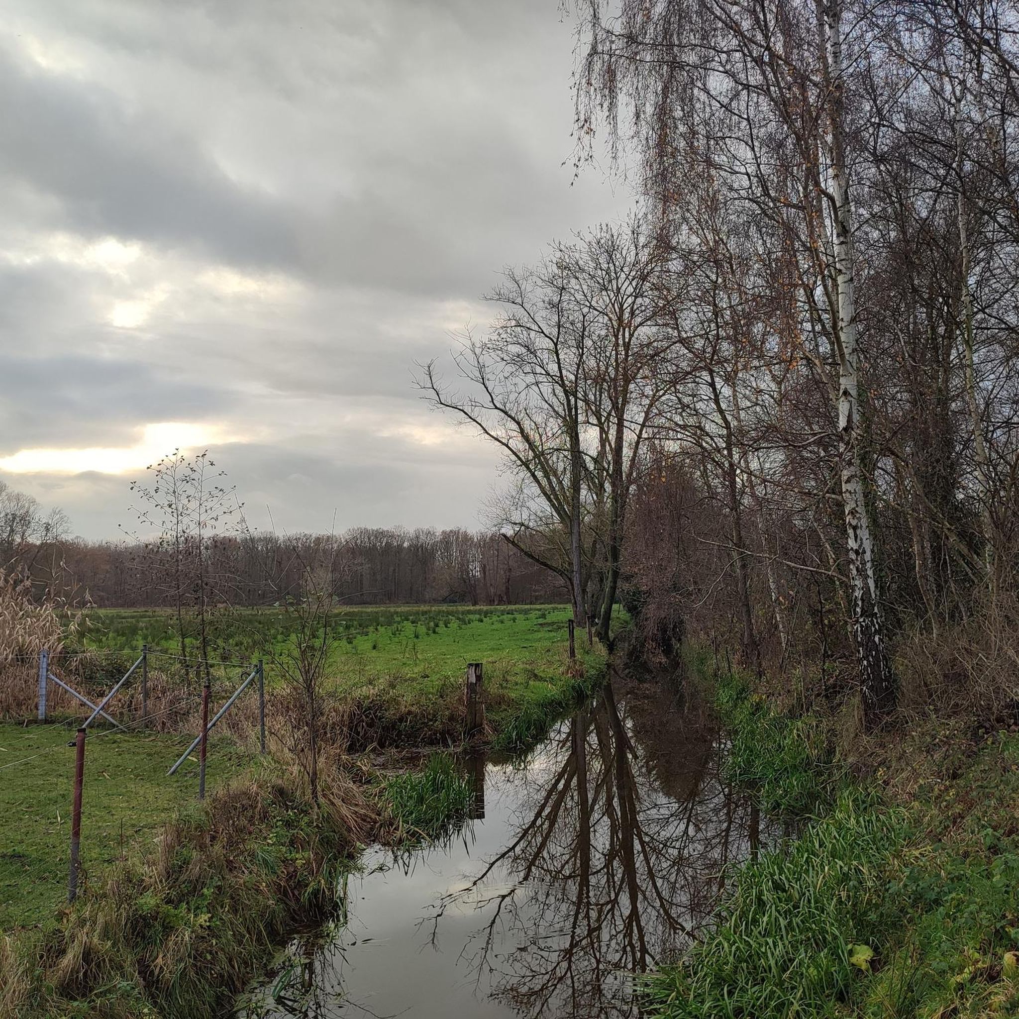
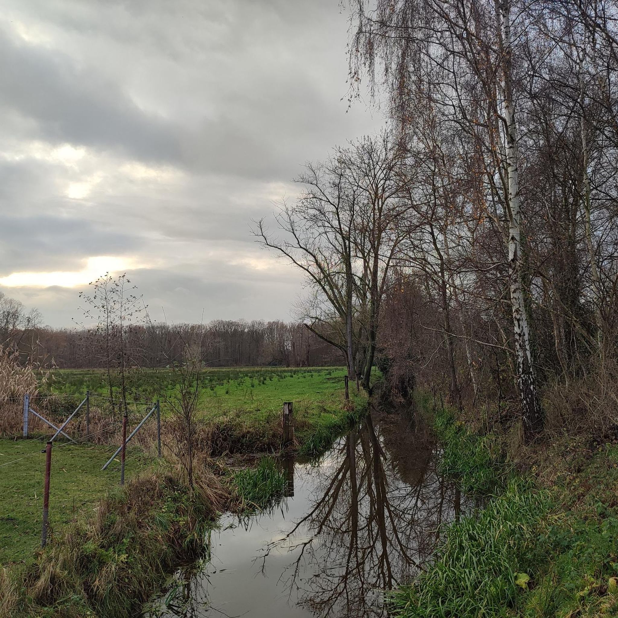

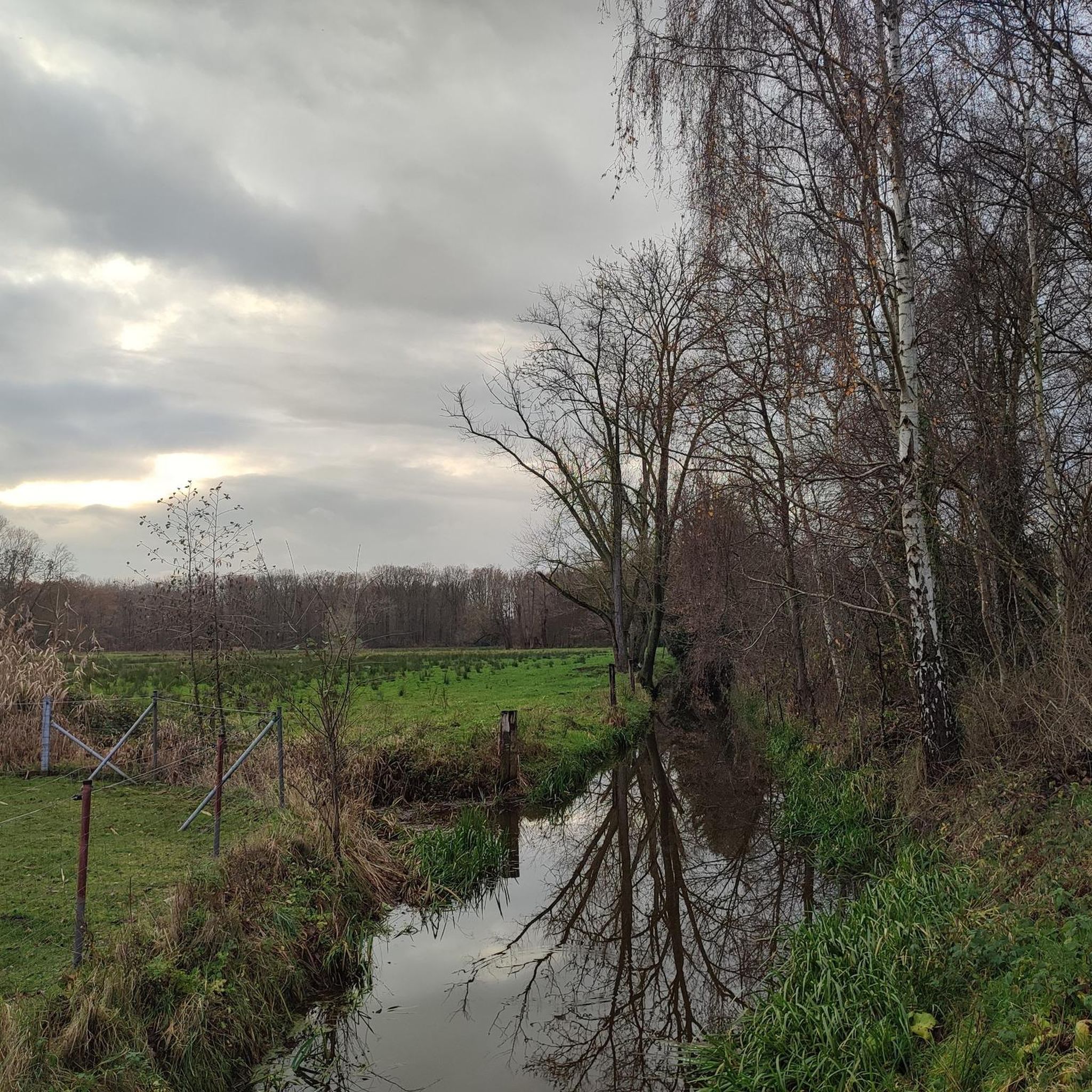
Tips from the Community

Nice cozy little building by the water...
2
0
Where nature is colorful...
3
0
Nice cycle path next to the canal...
2
0

Former bridge keeper's house, dating from the late 1930s, belonging to the old Nete bridge in typical interwar style (source: https://inventaris.onroerenderfgoed.be/erfgoedobjecten/2599). Possibly repurposed in the future as a small-scale overnight accommodation "Hoogslaper," which can be followed via this Instagram URL: https://www.instagram.com/hoogslaper_hotel
0
0

Especially at sunrise it is definitely worth stopping for a while and enjoying the purity of nature.
1
0
The grazers love to be admired from the banks of the Dijle...
5
0

Lots of flies at dusk, the rest of the day very pleasant, especially in very warm weather
0
0

Frequently Asked Questions
How many running routes are available in Sint-Katelijne-Waver?
There are over 80 dedicated running routes around Sint-Katelijne-Waver, offering a wide variety of options for different preferences and fitness levels.
What kind of terrain can I expect on the running trails in Sint-Katelijne-Waver?
The region offers diverse terrain, from tranquil paths through forests like the Waverwoud (including Hondsbossen, Gasthuisbossen, and Vossenbergbos) to picturesque routes alongside the Leuven-Dijle Canal. You'll find a mix of flat towpaths and trails winding through wooded areas and rural landscapes.
Are the running routes in Sint-Katelijne-Waver generally easy or more challenging?
Most of the running routes in Sint-Katelijne-Waver are classified as moderate, with 75 moderate options. However, there are also 8 easy routes available, making the area suitable for both casual joggers and those looking for a bit more challenge.
What do other runners say about the trails in Sint-Katelijne-Waver?
The running routes in Sint-Katelijne-Waver are highly rated by the komoot community, with an average score of 3.9 stars from over 30 reviews. More than 1200 runners have used komoot to explore the area, often praising the varied terrain and natural beauty.
Are there any circular running routes in the area?
Yes, many of the routes in Sint-Katelijne-Waver are circular, allowing you to start and finish at the same point. For example, the Kauwendaal loop from Kauwendael is a popular moderate circular path.
Can I bring my dog on the running trails?
Many natural areas and public paths in Sint-Katelijne-Waver are dog-friendly, especially those through forests and along canals. However, it's always recommended to check local signage for specific rules regarding dogs, especially in nature reserves, and to keep your dog on a leash.
Are there family-friendly running options in Sint-Katelijne-Waver?
Yes, the region offers several easy and moderate routes that are suitable for families. Paths along the Leuven-Dijle Canal or through less challenging sections of the Waverwoud provide pleasant and safe environments for a family run or walk. Consider routes with minimal elevation gain for younger runners.
Where can I find routes with scenic views or natural landmarks?
For scenic views, consider routes along the Leuven-Dijle Canal, which features historic operational locks. For natural landmarks, explore trails near the Mispeldonk Nature Reserve or the Provincial Park De Schorre. The Ter Elst Castle Ruins loop from Walem also offers historical sights.
Is parking available near the running routes?
Parking is generally available at various starting points for routes throughout Sint-Katelijne-Waver, especially near popular natural areas and village centers. It's advisable to check the specific route details on komoot for parking information related to your chosen trail.
How accessible are the running trails by public transport?
Sint-Katelijne-Waver has public transport connections that can bring you close to several running routes. Many trails are accessible from bus stops within the municipality, particularly those starting from the main town or larger villages like Onze-Lieve-Vrouw-Waver. Check local transport schedules for the most convenient access.
Are there any notable forests or natural areas to explore while running?
Absolutely. The Waverwoud is a significant natural area, encompassing tranquil and untouched sections like the Hondsbossen, Gasthuisbossen, and Vossenbergbos. These forests provide serene settings ideal for running amidst nature. Additionally, the area features a nature burial site and a 'geboortebos' (birth forest) offering peaceful natural surroundings.
Are there running paths along water bodies in Sint-Katelijne-Waver?
Yes, the Cycling Highway Leuven-Mechelen runs alongside the Leuven-Dijle Canal, offering quiet and picturesque paths perfect for running. The surrounding areas also include various lakes, such as those near the Hoefijzerput, providing additional waterside running opportunities.
Most popular routes around Sint-Katelijne-Waver
Most popular attractions around Sint-Katelijne-Waver

Get inspired with the komoot mobile app


Explore more
Browse the best Running Trails & Routes in other regions.
