The best walks and hikes in Verbano-Cusio-Ossola
4.4
(27623)
126,464
hikers
2,631
hikes
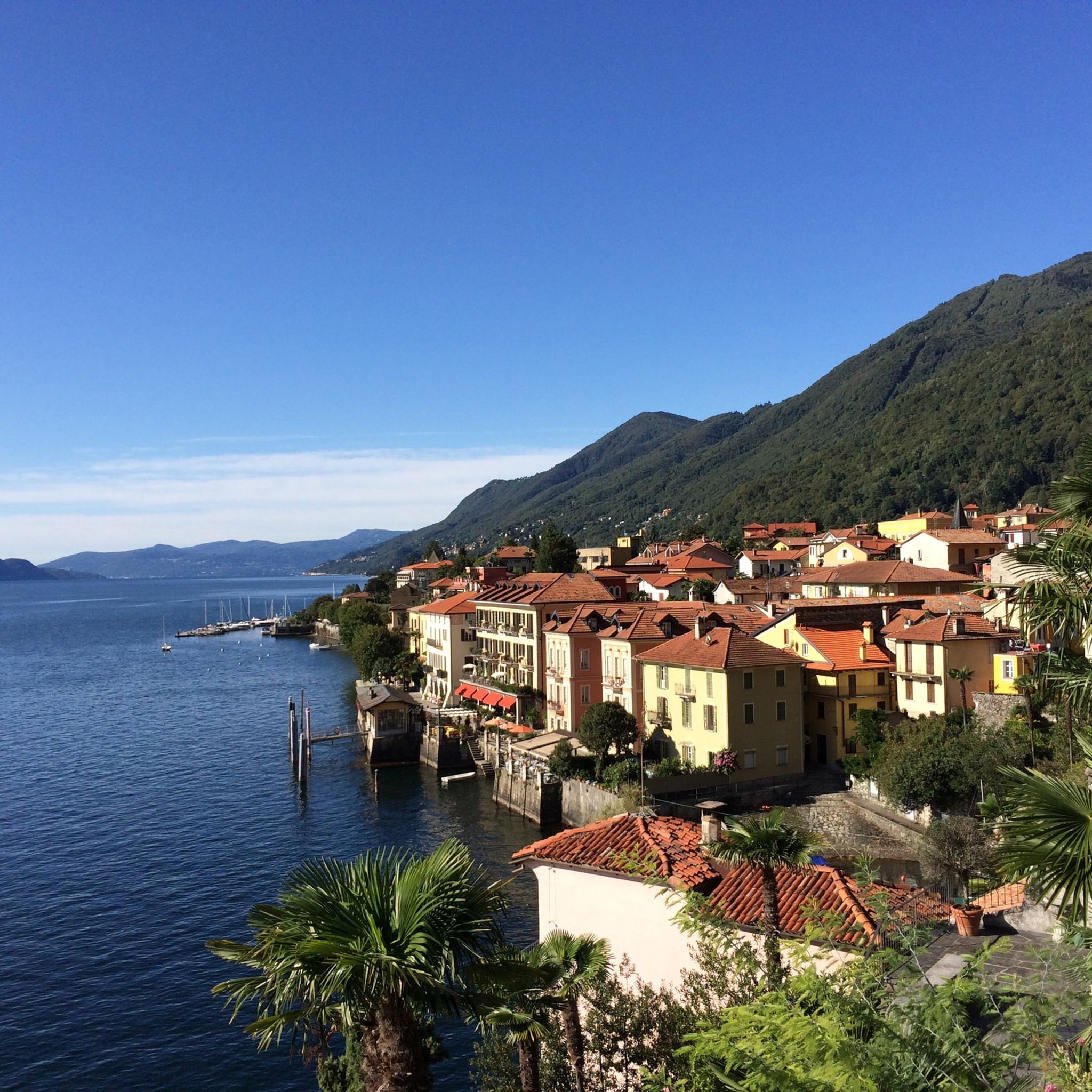
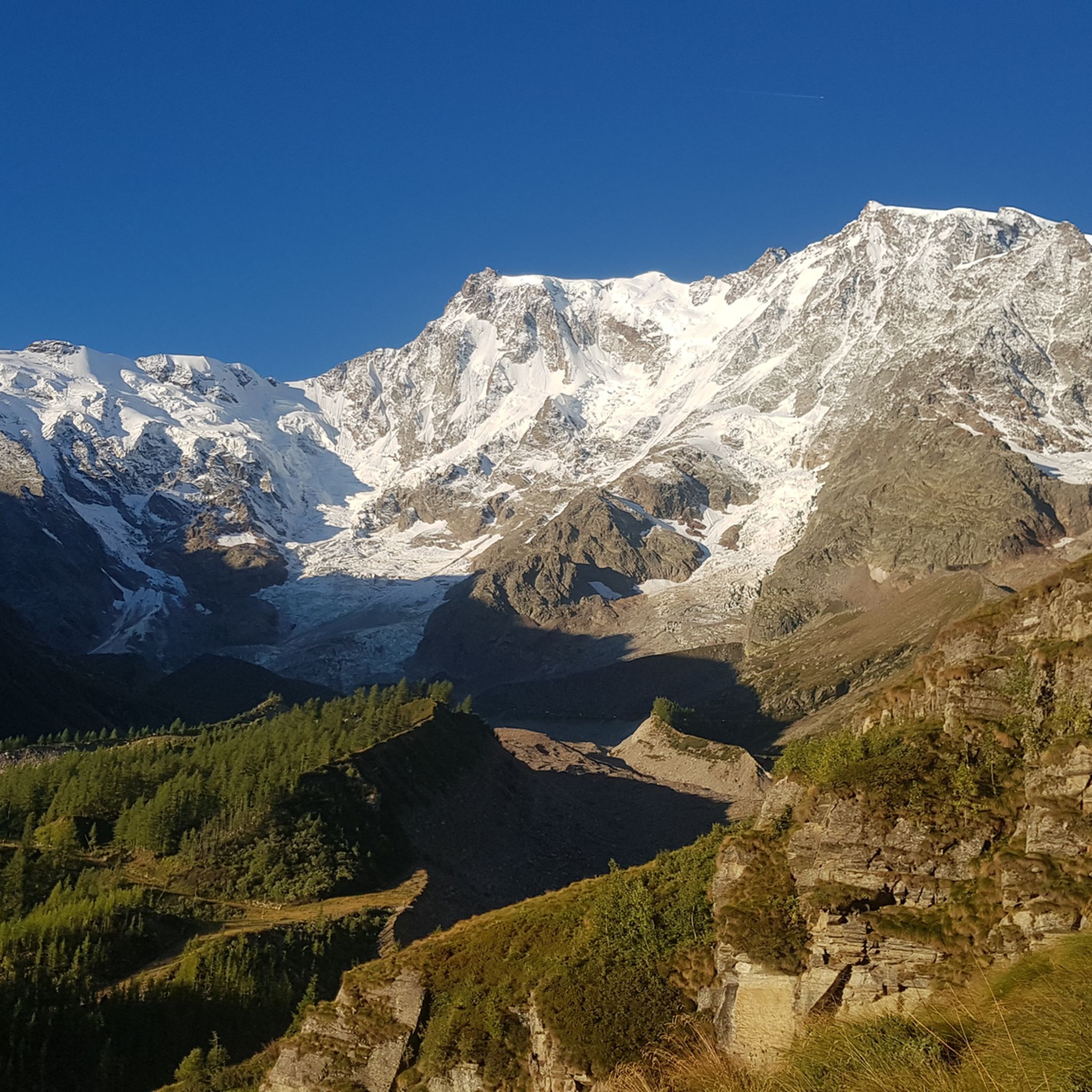
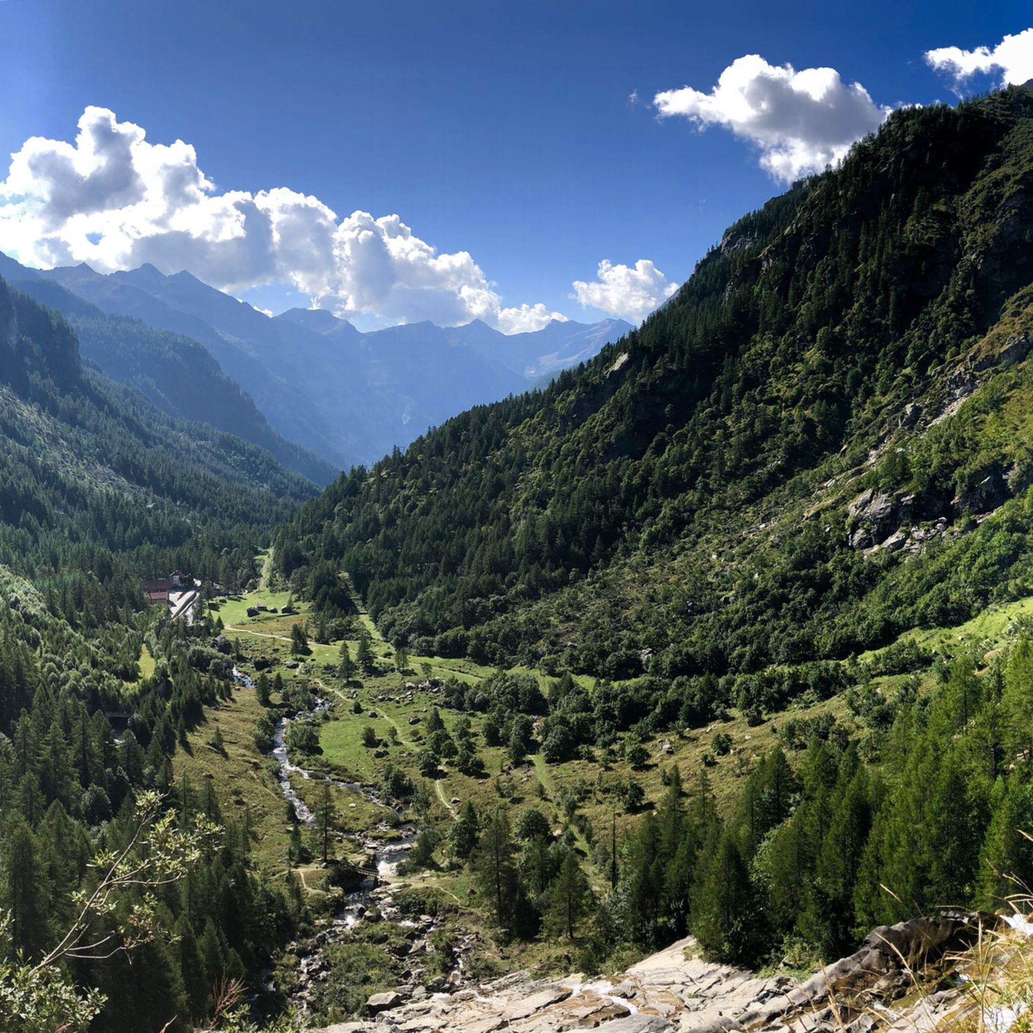
Hiking in Verbano-Cusio-Ossola offers diverse terrain in the northern Piedmont region of Italy. The area features towering Alpine peaks, including Monte Rosa, alongside picturesque lakes such as Maggiore and Orta. Deep valleys like the Ossola Valley, with its seven side valleys, provide varied landscapes for exploration. This mountainous and hilly province is characterized by a mix of high-altitude trails and lakeside paths.
Best hiking trails in Verbano-Cusio-Ossola
- The most popular hiking route is Mottarone and Monte Zughero Loop, a…
Last updated: September 26, 2026
4.6
(581)
2,092
hikers
4.92km
02:00
290m
300m
Moderate hike. Good fitness required. Mostly accessible paths. Sure-footedness required.
4.7
(318)
1,090
hikers
9.82km
04:43
720m
720m
Moderate hike. Good fitness required. Mostly accessible paths. Sure-footedness required.

4.7
(471)
1,775
hikers
14.5km
04:52
710m
710m
Hard hike. Good fitness required. Sure-footedness, sturdy shoes and alpine experience required.
4.6
(362)
1,337
hikers
10.4km
03:53
580m
580m
Moderate hike. Good fitness required. Mostly accessible paths. Sure-footedness required.
4.7
(314)
1,079
hikers
9.68km
03:35
400m
400m
Moderate hike. Good fitness required. Mostly accessible paths. Sure-footedness required.
4.7
(263)
1,062
hikers
13.6km
03:57
340m
340m
Moderate hike. Good fitness required. Mostly accessible paths. Sure-footedness required.
4.8
(217)
843
hikers
11.9km
04:33
590m
590m
Moderate hike. Good fitness required. Mostly accessible paths. Sure-footedness required.
4.6
(110)
444
hikers
9.84km
03:04
360m
360m
Hard hike. Good fitness required. Sure-footedness, sturdy shoes and alpine experience required.
4.5
(194)
576
hikers
7.07km
02:08
230m
230m
Moderate hike. Good fitness required. Mostly accessible paths. Sure-footedness required.
4.7
(171)
927
hikers
13.5km
05:52
880m
890m
Hard hike. Very good fitness required. Mostly accessible paths. Sure-footedness required.
Get access to more routes and recommendations from other explorers.
Already have an account?
Our route recommendations are based on thousands of hikes, rides, and runs completed by other people on komoot.
Start today with a free account
Your next adventure awaits.
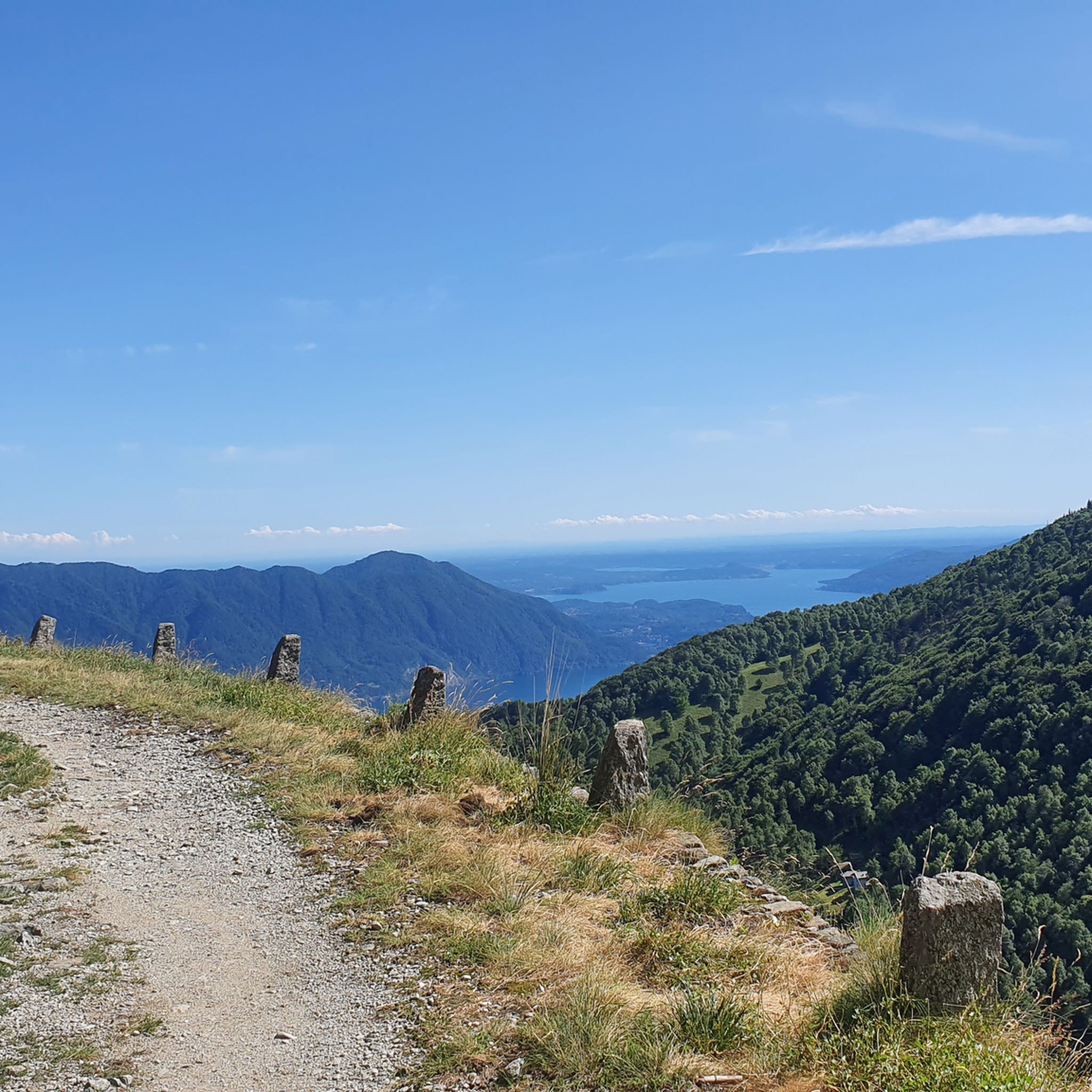
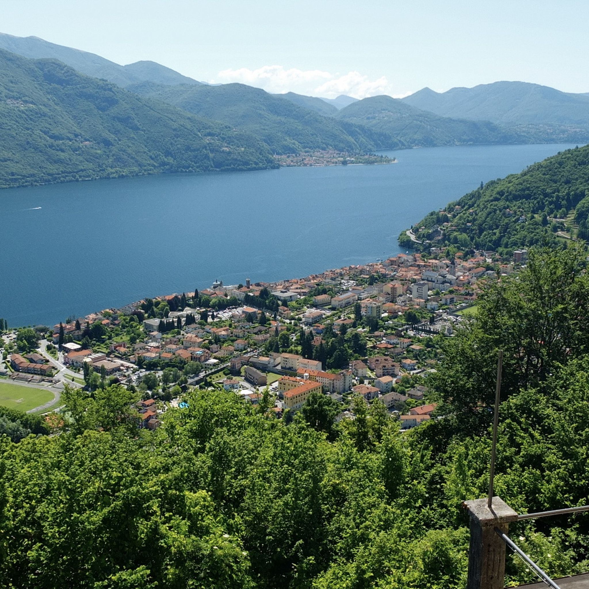
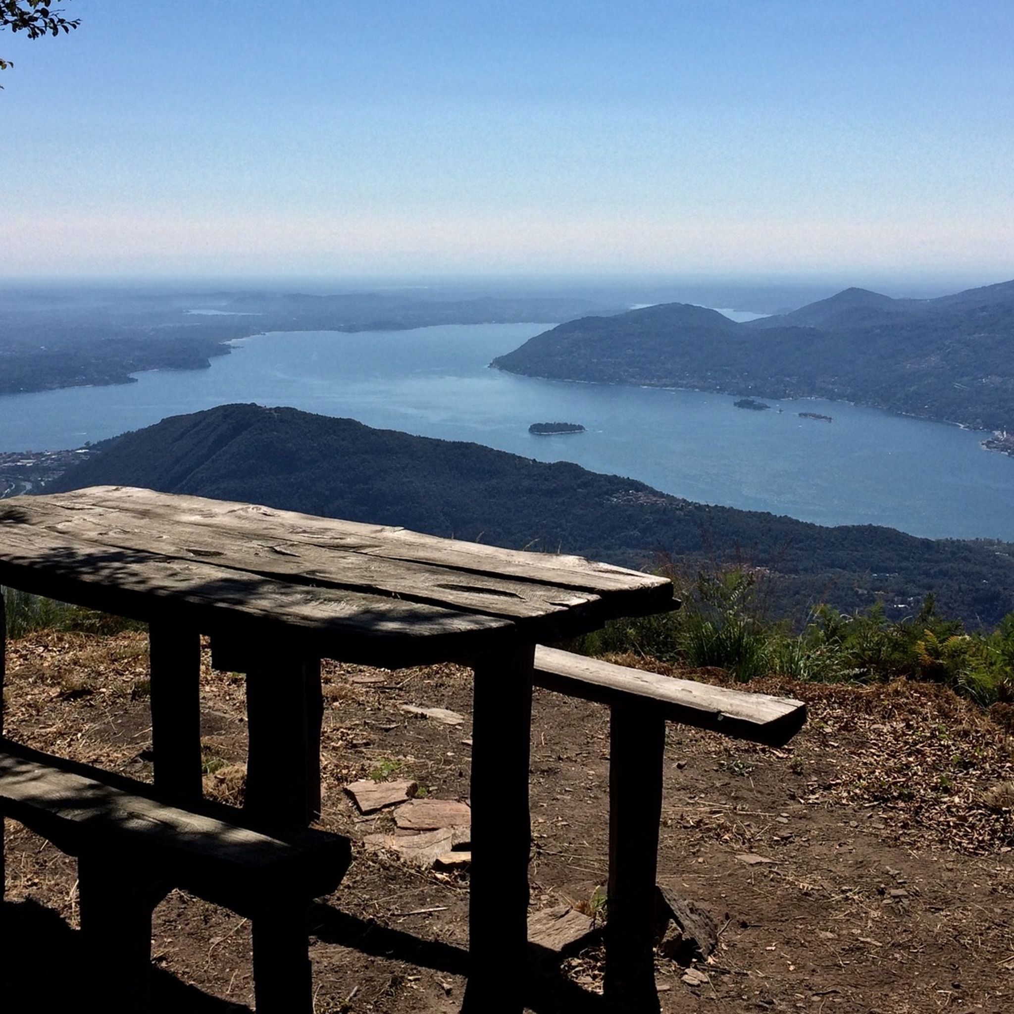
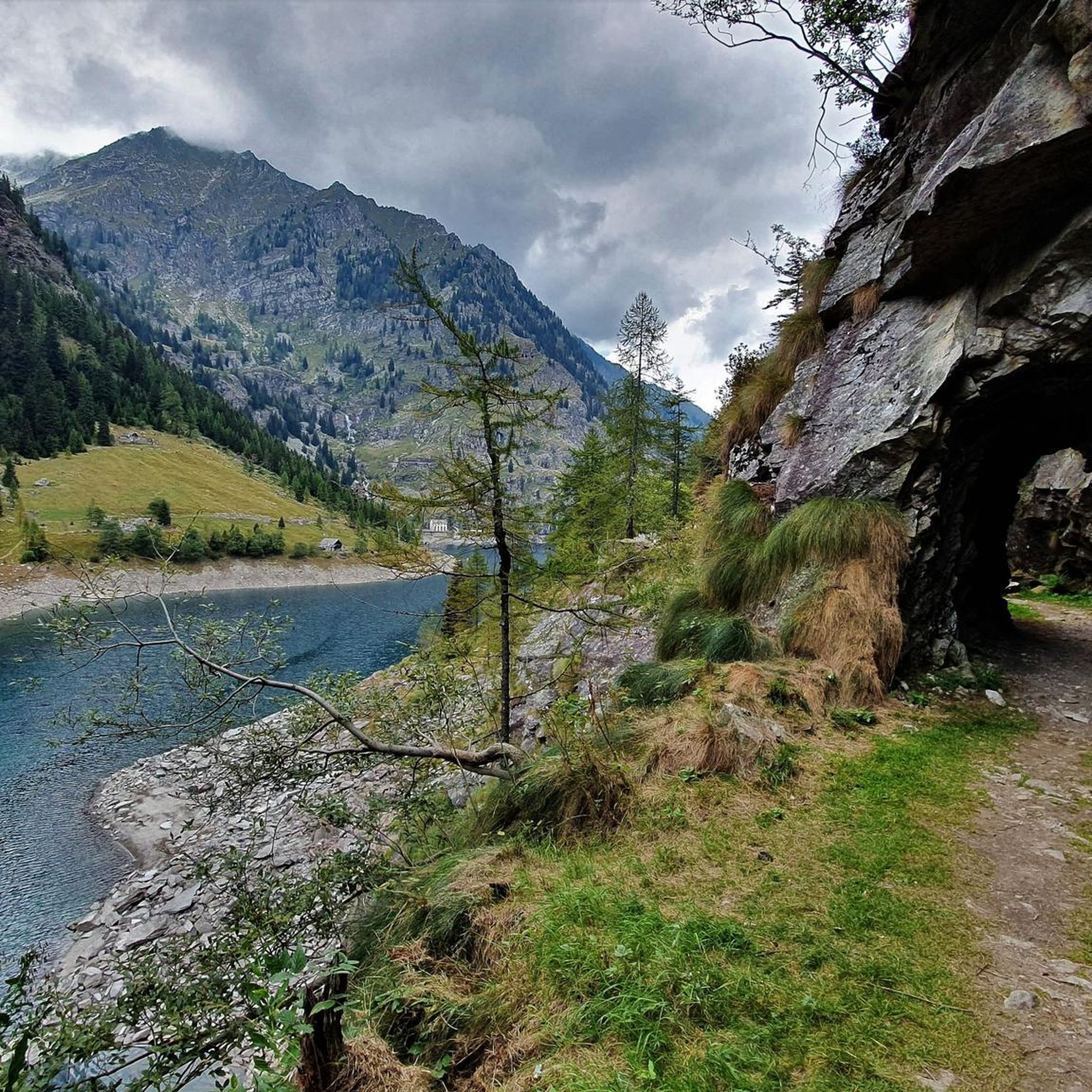
Other adventures in Verbano-Cusio-Ossola


Tips from the Community

Beautiful view from the refuge, welcoming hosts
0
0
Beautiful route from a landscape point of view and remarkable from a geological point of view. You cross a terminal moraine, walk on a lateral moraine. The glaciers of the East wall of the Rosa are dying, but the view of the entire complex is exciting. The color of the Lago delle Locce is stunning. Kindness both at Rifugio Zamboni and at the Belvedere.
0
0

Passing point before starting the ascent of the Buscagna stream, to reach Lake Negro, Mount Cazzola, Scatta d'Orogna, or to head towards Alpe Veglia
0
0

Yes, we also had easy access to the campsite, but unfortunately, we had to take a detour through the main entrance to get out. We only wanted to hike along the lake.
2
0

A beautiful hike according to the Rother Lago Maggiore hiking guide (No. 28). Many magnificent views of Lake Maggiore and the Val Grande.
0
0

A beautiful panoramic viewpoint, also a great place to catch your breath on the trail leading to the summit from Montorfano. The trail isn't exactly easy, technically speaking.
0
0

Frequently Asked Questions
How many hiking trails are available in Verbano-Cusio-Ossola?
Verbano-Cusio-Ossola offers a vast network of trails, with over 2,500 hiking routes available. These range from easy walks to challenging alpine treks, catering to all experience levels.
What kind of terrain can I expect when hiking in Verbano-Cusio-Ossola?
The region features diverse terrain, from the towering Alpine peaks of Monte Rosa and the Pennine and Lepontine Alps to picturesque lakes like Maggiore and Orta. You'll find deep valleys, lush forests, and protected wilderness areas, offering a mix of high-altitude paths and serene lakeside trails.
Are there any easy, family-friendly hikes in the area?
Yes, Verbano-Cusio-Ossola has over 580 easy routes suitable for families. Many trails around the lakes, such as those near Lake Maggiore or Lake Orta, offer gentler gradients and beautiful scenery. For example, the Panoramas over Lake Maggiore above Verbania - Ring tour provides accessible views.
Can I find challenging hikes for experienced trekkers?
Absolutely. The region is home to over 730 difficult routes, particularly in the higher Alpine areas and within the Val Grande National Park. These trails often involve significant elevation gain and rugged terrain, requiring good physical fitness and alpine knowledge. An example is the Via delle Genti from Cannobio to Cannero Riviera, which is rated as difficult.
Are there any hikes that feature waterfalls or gorges?
Yes, the region is known for its impressive natural water features. The spectacular Toce Waterfall (Cascata del Toce) is one of Europe's highest. You can also explore the deep Orrido di Sant'Anna gorge, carved by the Cannobino torrent, or the Gorges of Uriezzo, accessible via metallic stairs. While not directly on a listed route, these are significant natural attractions in the area.
Which hikes offer the best viewpoints or panoramic scenery?
Many trails provide stunning vistas. The Mottarone and Monte Zughero Loop offers panoramic views from Mottarone, situated between Lake Maggiore and Lake Orta. Another great option is the Mont'Orfano Loop from Mergozzo, which provides panoramic lake views and passes historical fortifications.
Are there any circular hiking routes in Verbano-Cusio-Ossola?
Yes, many routes in the region are circular, allowing you to start and end in the same location. Examples include the Lakes of Campliccioli and Antrona - ring tour and the Crampiolo and Devero Lakes - Ring Tour, both offering beautiful natural scenery.
What historical or cultural landmarks can I explore while hiking?
The region is rich in history. You can find two UNESCO World Heritage sites, the Sacri Monti of Piedmont and Lombardy, which are devotional areas with chapels along mountainous paths. The Madonna di Campagna - Monterosso - Cavandone Trail takes you through charming villages and offers cultural insights. The Church of Sant'Anna and Medieval Bridge in the Sant'Anna Gorge is another notable site.
What do other hikers say about the trails in Verbano-Cusio-Ossola?
The hiking routes in Verbano-Cusio-Ossola are highly rated by the komoot community, with an average score of 4.5 stars from over 23,000 reviews. Hikers often praise the stunning natural beauty, the variety of landscapes, and the well-maintained trails that cater to different skill levels.
Are there any specific natural parks or wilderness areas worth exploring?
Definitely. The Val Grande National Park is recognized as the largest wilderness area in the Alps, offering pristine landscapes and opportunities to spot wildlife. The Alpe Veglia and Alpe Devero Nature Park features enchanting trails, alpine lakes, and stunning mountain views. The Cicogna - Alpe Pra - Pogallo Loop Trail explores the rugged wilderness of Val Grande.
What is the best time of year to go hiking in Verbano-Cusio-Ossola?
The best time for hiking generally spans from late spring to early autumn (May to October). During these months, the weather is typically mild, and the trails are clear of snow, especially at lower and mid-altitudes. Alpine routes are best tackled in summer (July-August) when snow has melted and conditions are more stable.
Are there any hikes that pass by notable lakes?
Yes, the region is dotted with beautiful lakes. Besides Lake Maggiore and Lake Orta, you can hike to smaller, stunning lakes like Lago di Antrona, Lago Vannino, Lago Busin Inferiore, Lago dei Cavalli, and the Lakes of Campliccioli. The Lakes of Campliccioli and Antrona - ring tour is a great option to experience these.
Most popular routes in Verbano-Cusio-Ossola
Most popular attractions in Verbano-Cusio-Ossola

Get inspired with the komoot mobile app


Didn’t find what you were looking for?
Check out more Hikes throughout Verbano-Cusio-Ossola below and find the perfect route in your destination.
