The best walks and hikes around Sint-Lievens-Houtem
4.5
(417)
2,206
hikers
143
hikes
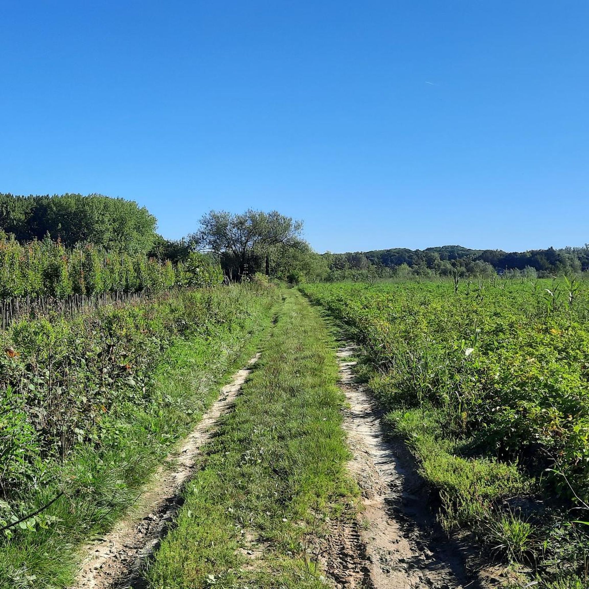
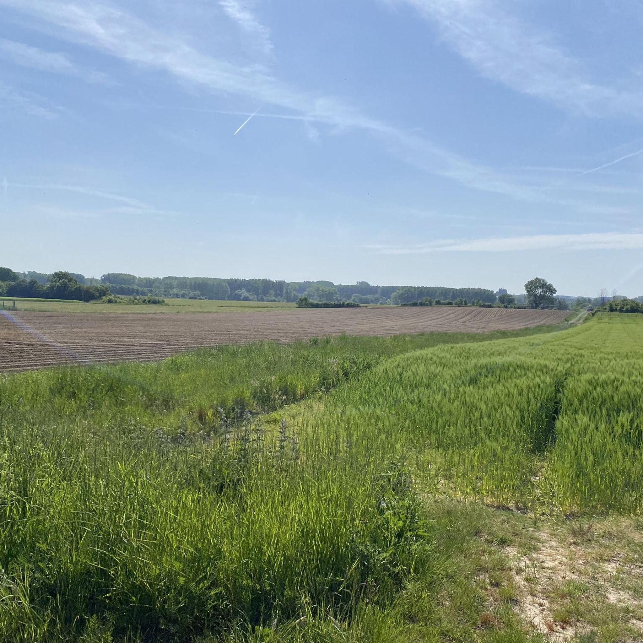
Hiking around Sint-Lievens-Houtem offers varied topography, transitioning from flatter Scheldt valley areas to the undulating terrain bordering the Flemish Ardennes. The region features rolling hills, with the Balleiheuvel reaching 83 meters. Natural features include the Smoorbeekvallei and the Cotthembeek Valley, which encompasses the Cotthembos with its diverse deciduous forests. An extensive network of "slow roads" provides pathways through agricultural fields and forest edges.
Best hiking trails around Sint-Lievens-Houtem
- The most popular hiking route is Cotthem Valley Nature Trail, a…
Last updated: July 7, 2026
4.3
(71)
273
hikers
11.0km
02:54
100m
100m
Hike the moderate 6.8-mile Cotthem and Oude Heerweg trail through varied landscapes, ancient Roman roads, and the green heart of Sint-Lieven
4.4
(56)
192
hikers
8.56km
02:15
70m
70m
Moderate hike. Good fitness required. Easily-accessible paths. Suitable for all skill levels.

Sign up for free
4.5
(13)
94
hikers
18.5km
04:48
120m
120m
Moderate hike. Good fitness required. Easily-accessible paths. Suitable for all skill levels.
4.7
(11)
51
hikers
10.9km
02:50
70m
70m
Moderate hike. Good fitness required. Easily-accessible paths. Suitable for all skill levels.
4.8
(5)
31
hikers
Moderate hike. Good fitness required. Easily-accessible paths. Suitable for all skill levels.
Get access to more routes and recommendations from other explorers.
Sign up for free
Already have an account?
Our route recommendations are based on thousands of hikes, rides, and runs completed by other people on komoot.
Start today with a free account
Your next adventure awaits.
Login or Signup

Tips from the Community

Tree chapel on the corner of Diepestraat and Nieuwpoortmolenstraat. Wooden Marian chapel hung on an oak tree at a crossroads of country roads next to two benches with a view of arable land. Simple wooden chapel with a crowned Our Lady of Lourdes statue in plastic. Painted inscription "Ave Maria" above the statue and "pray for us" on the lower edge of the chapel. Fairly young example that illustrates the continued use of tree chapels and the veneration of Maria for centuries. (Inventory of Immovable Heritage)
18
0
The loneliness of this tree continues...
17
1
The milestone reads Velzeke 4 leugae – Asse 12 leugae. A Gallic leugae is 2.222 kilometers. Ignace calculated that from this spot Velzeke is 4 leugae away and Asse 12 leugae. These are two locations where we know for sure that a Roman road passed. (Heritage Viersprong)
13
0


A chapel where you can pay for the candles with payconic. Hilarious! Jesus also moves with the times :)
2
0

Nice place to take a break and enjoy nature.
0
1

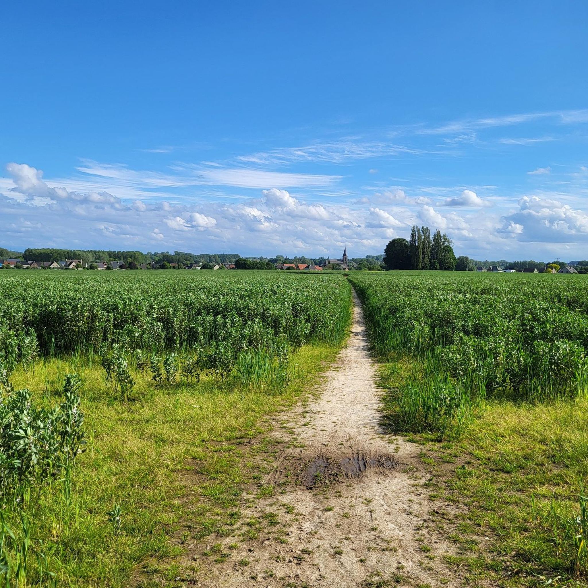
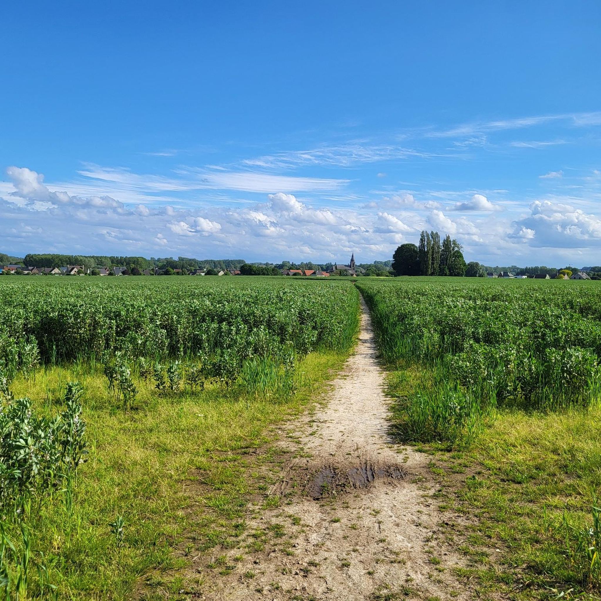
A beautiful tree in the middle of the fields.
7
0
Frequently Asked Questions
How many hiking trails are available in Sint-Lievens-Houtem?
Sint-Lievens-Houtem offers a wide variety of hiking opportunities, with over 120 routes available. These range from easy strolls to more challenging treks, ensuring there's something for every hiker.
What kind of terrain can I expect when hiking in Sint-Lievens-Houtem?
The region features varied topography, transitioning from flatter areas towards the undulating terrain bordering the Flemish Ardennes. You'll encounter rolling hills, including the Balleiheuvel, and natural valleys like the Smoorbeekvallei and Cotthembeek Valley. An extensive network of 'slow roads' also leads through agricultural fields and forest edges.
What do other hikers enjoy most about the trails in Sint-Lievens-Houtem?
The trails in Sint-Lievens-Houtem are highly rated by the komoot community, with an average score of 4.4 stars from over 300 reviews. Hikers frequently praise the diverse landscapes, the peaceful atmosphere of the forests like Cotthembos, and the well-maintained network of paths that offer both natural beauty and historical interest.
Are there any circular hiking routes in Sint-Lievens-Houtem?
Yes, many of the hiking routes in Sint-Lievens-Houtem are circular, allowing you to start and end at the same point. For example, the Cotthem Milestone – Cotthembos loop from Sint-Lievens-Houtem is a popular moderate circular path that explores the varied deciduous forests.
Can I find family-friendly hiking options in Sint-Lievens-Houtem?
Absolutely. Sint-Lievens-Houtem has over 60 easy routes suitable for families. These trails often feature gentle gradients and pass through picturesque areas, making them ideal for a leisurely day out with children. Look for shorter, well-marked paths that explore the local valleys and forests.
Are dogs allowed on the hiking trails in Sint-Lievens-Houtem?
Generally, dogs are welcome on the hiking trails in Sint-Lievens-Houtem. However, it's always recommended to keep your dog on a leash, especially when passing through agricultural fields, nature reserves, or areas with livestock, to protect wildlife and respect local regulations.
What natural highlights can I discover along the hiking trails?
Hikers can explore several natural gems, including the Smoorbeekvallei with its forest areas and meadows, and the Cotthembeek Valley, home to the Cotthembos. In spring, the Cotthembos is particularly beautiful with carpets of bluebells and wild garlic. Other natural highlights nearby include the Meandering Old Scheldt and the Paardeweide Wetlands.
Are there historical landmarks or points of interest to see while hiking?
Yes, Sint-Lievens-Houtem offers a rich historical context. You can traverse an authentic Roman road, adding a historical dimension to your walk. The Livinus Chapel and a former water mill are also points of interest often integrated into walking routes. The Saint Livinus Chapel – Cotthem Milestone loop from Sint-Lievens-Houtem is one such route that passes by the chapel.
What are the difficulty levels of the hiking trails in Sint-Lievens-Houtem?
The trails in Sint-Lievens-Houtem cater to various fitness levels. You'll find over 60 easy routes, around 50 moderate routes, and a few more challenging options for experienced hikers. The difficulty is influenced by factors like elevation gain and trail length.
When is the best time of year to go hiking in Sint-Lievens-Houtem?
Sint-Lievens-Houtem is enjoyable for hiking throughout the year. Spring is particularly beautiful when the Cotthembos comes alive with bluebells and wild garlic. Autumn offers stunning foliage. Summer provides longer daylight hours, while winter hikes can be serene, especially on crisp, clear days. Always check local weather conditions before heading out.
Is there parking available for hikers in Sint-Lievens-Houtem?
Yes, parking is generally available in and around Sint-Lievens-Houtem, particularly near trailheads or in village centers. It's advisable to check specific starting points for routes on komoot for detailed parking information, as options can vary.
Can I reach the hiking areas by public transport?
Sint-Lievens-Houtem is accessible by public transport, primarily buses, which connect the municipality to larger towns and train stations in the region. Planning your route in advance using public transport apps or websites will help you find the most convenient connections to your desired trailhead.
Are there any viewpoints offering panoramic views in the region?
Yes, the Balleiheuvel, the highest point in the area at 83 meters, offers expansive views. From the water tower located there, on clear days, you can even see the towers of Ghent. This elevation provides rewarding vistas over the rolling landscape.
Most popular routes around Sint-Lievens-Houtem
Most popular attractions around Sint-Lievens-Houtem

Get inspired with the komoot mobile app


Explore more
Browse the best Hikes in other regions.
