Top 20 Natural Monuments around Plombières
Best natural monuments around Plombières offer diverse ecological and scenic experiences. This Belgian municipality is characterized by its unique landscapes, including former mining sites that have transformed into rare biotopes. The region features significant river valleys and elevated points providing expansive views across multiple countries. These areas are notable for their specialized flora and fauna, shaped by distinct geological conditions.
Best natural monuments around Plombières
- The most popular natural monuments is Meanders of the Geul, a river that winds…
Last updated: June 26, 2026
Vaalserberg Three-Country Point
Highlight • Monument
Translated by Google •
Tip by

Hohnbach Valley
Highlight (Segment) • River
Translated by Google •
Tip by

Sign up now to discover places like this
Get recommendations on the best single tracks, peaks, & plenty of other exciting outdoor places.
Sign up for free
Meanders of the Geul
Highlight (Segment) • River
Translated by Google •
Tip by

The Geul River and Surroundings
Highlight • River
Translated by Google •
Tip by
Cyclops Stones in the Aachen Forest
Highlight • Natural Monument
Translated by Google •
Tip by

Sign up for free to discover even more natural monuments around Plombières.
Sign up for free
Already have an account?
Start today with a free account
Your next adventure awaits.
Login or Signup
Popular around Plombières
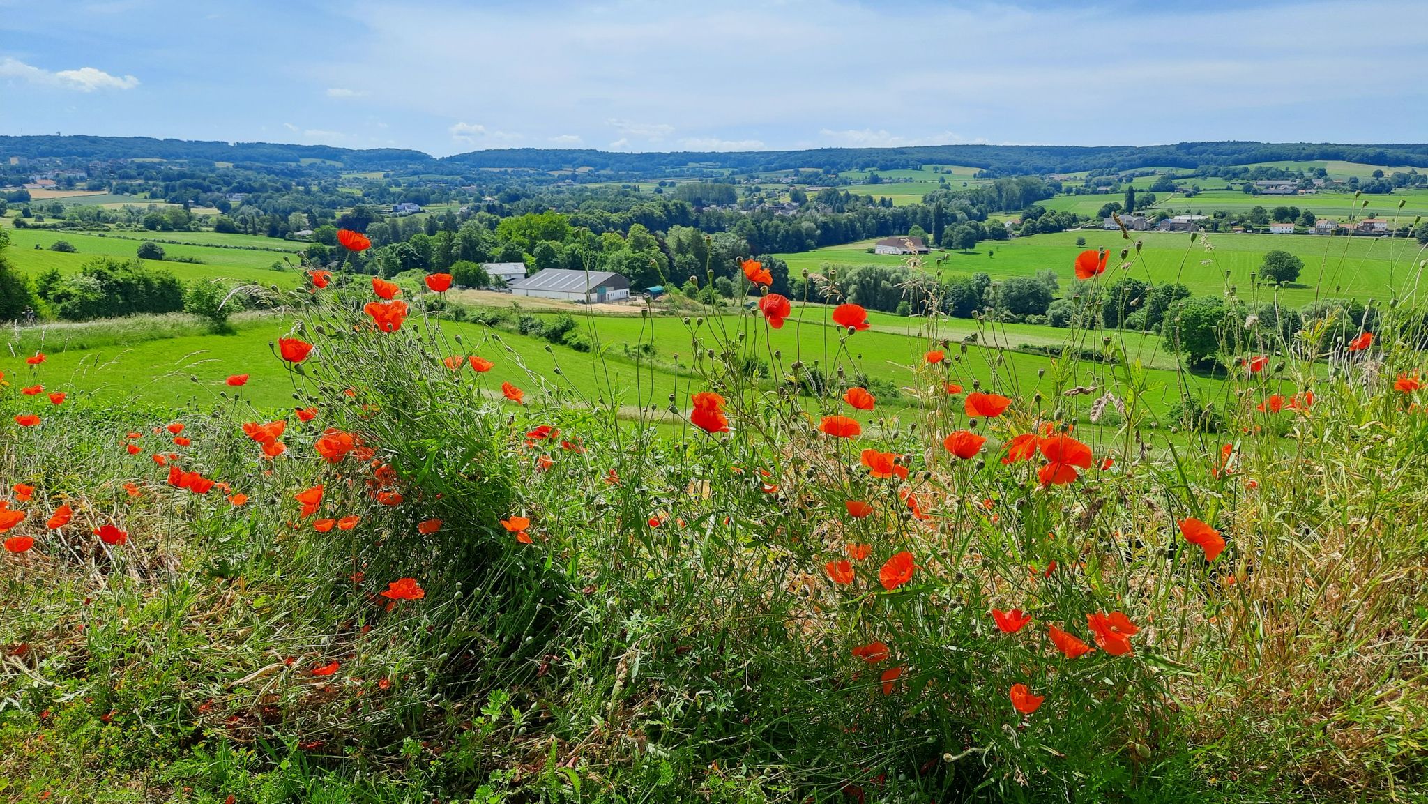
Hiking in the border triangle – GrenzRouten Aachen
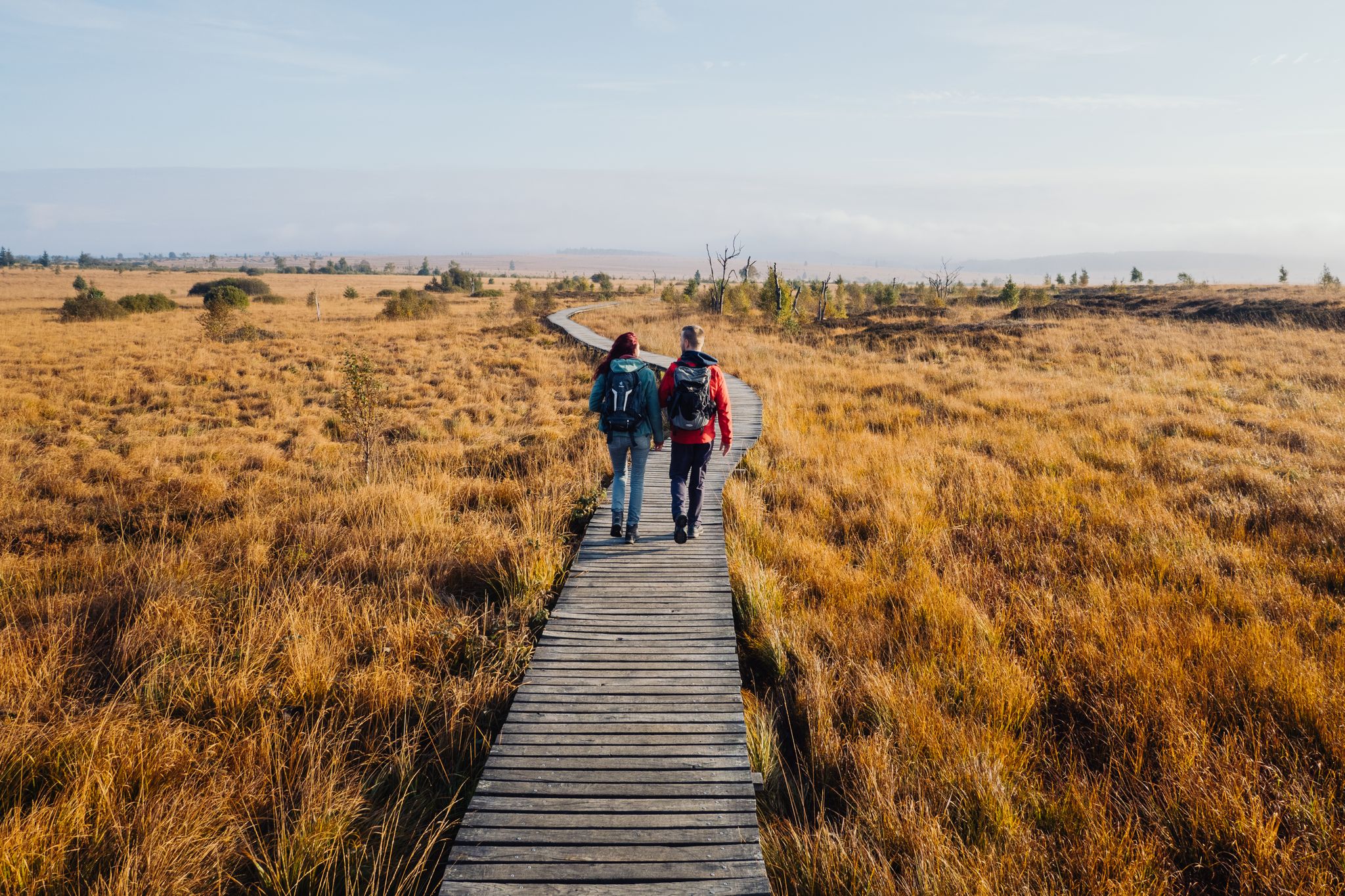
Venntrilogie – the premium hiking experience in East Belgium
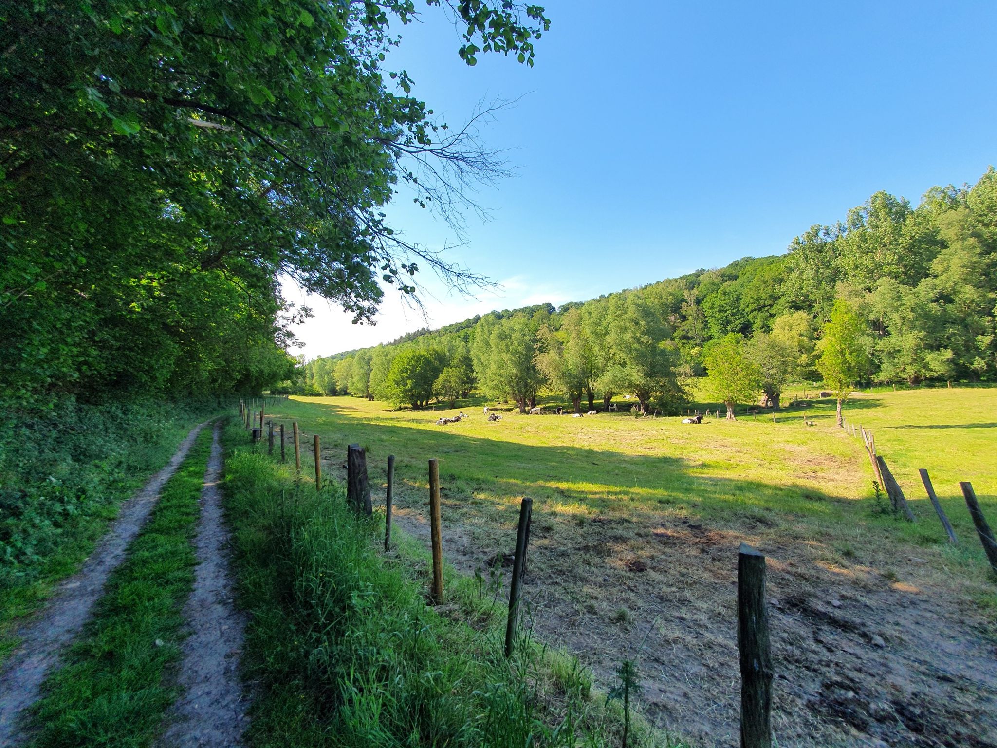
Hike between orchards and hedgerows – Belgium’s Tour du Pays de Herve
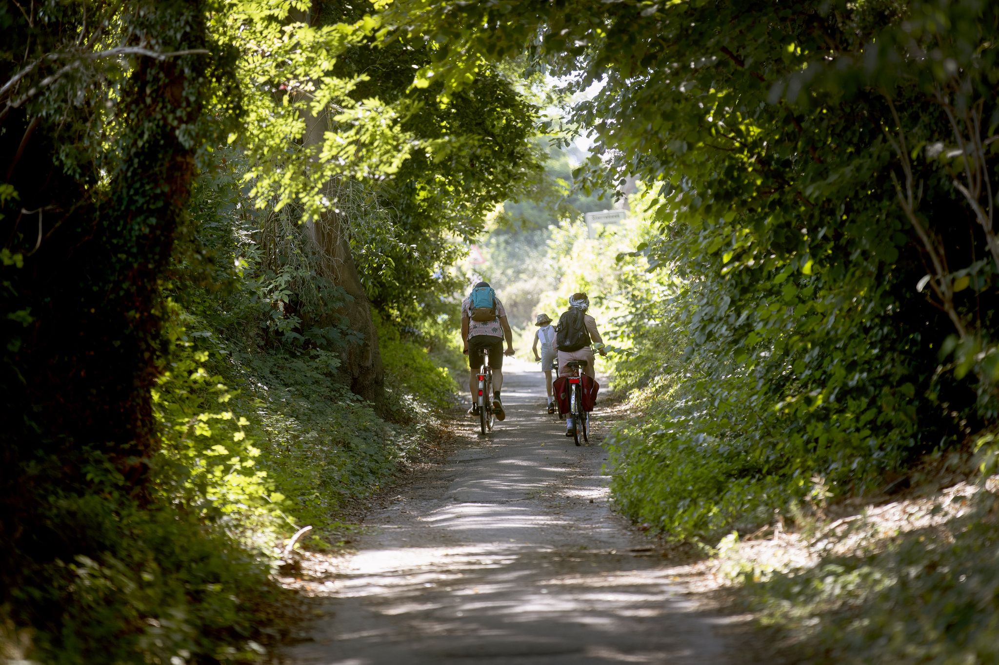
Flanders by bike: Cycling through nature
Hiking around Plombières
Running Trails around Plombières
Cycling around Plombières
Road Cycling Routes around Plombières
MTB Trails around Plombières
Gravel biking around Plombières
Other adventures around Plombières


Tips from the Community

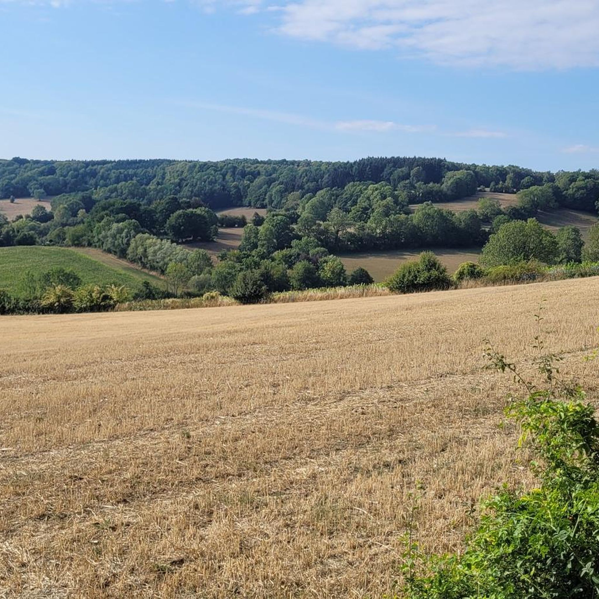
The Geul is an idyllic stream that meanders considerably, or winds through the landscape. Because the Geul flows fast on this part, the water erodes the bank in the outer bends. In the inner bends, the water flows less fast and the sand and mud that has been carried along remains there. In the outer bends, there is a steep bank and in the inner bends a flat bank.
4
0

The highest point in the Netherlands coincides with the three-country point and is an important tourist attraction.
21
0

As early as the late Middle Ages, the border of the former Aachen Empire, fortified with the Aachen Moat, ran from south to north across the ridge of the Vaalserberg. From 1839 to 1919, the Vaalserberg, with the disputed area of Neutral Moresnet as the fourth country, was even a four-country corner (Vierlandenpunt), which is still remembered in the name of the access road on the Dutch side - Viergrenzenweg. During the First World War, from 1915 to 1918, the high-voltage border barrier stretched along the Belgian-Dutch border for a length of 300 kilometers from the then four-country corner on the Vaalserberg to the Belgian North Sea coast near Knokke. The German invasion of Belgium in 1914 via Gemmenich to Diksmuide, which brought much suffering to the Belgian population, is commemorated by a memorial made of compressed war material at the southern tip of the Vaalserberg, called Via Dolorosa.
23
0

With a height of no less than 322.4 meters above NAP, the Vaalserberg is the highest mountain in the Netherlands (with the exception of the mountains in the Caribbean). So you are standing on the roof of the Low Countries! The mountain is not only known for its height, but also for the three country point you will find here; here the borders of the Netherlands, Belgium and Germany meet. In addition, there are plenty of activities for young and old on and around the top, so hang out here for a while.
14
1
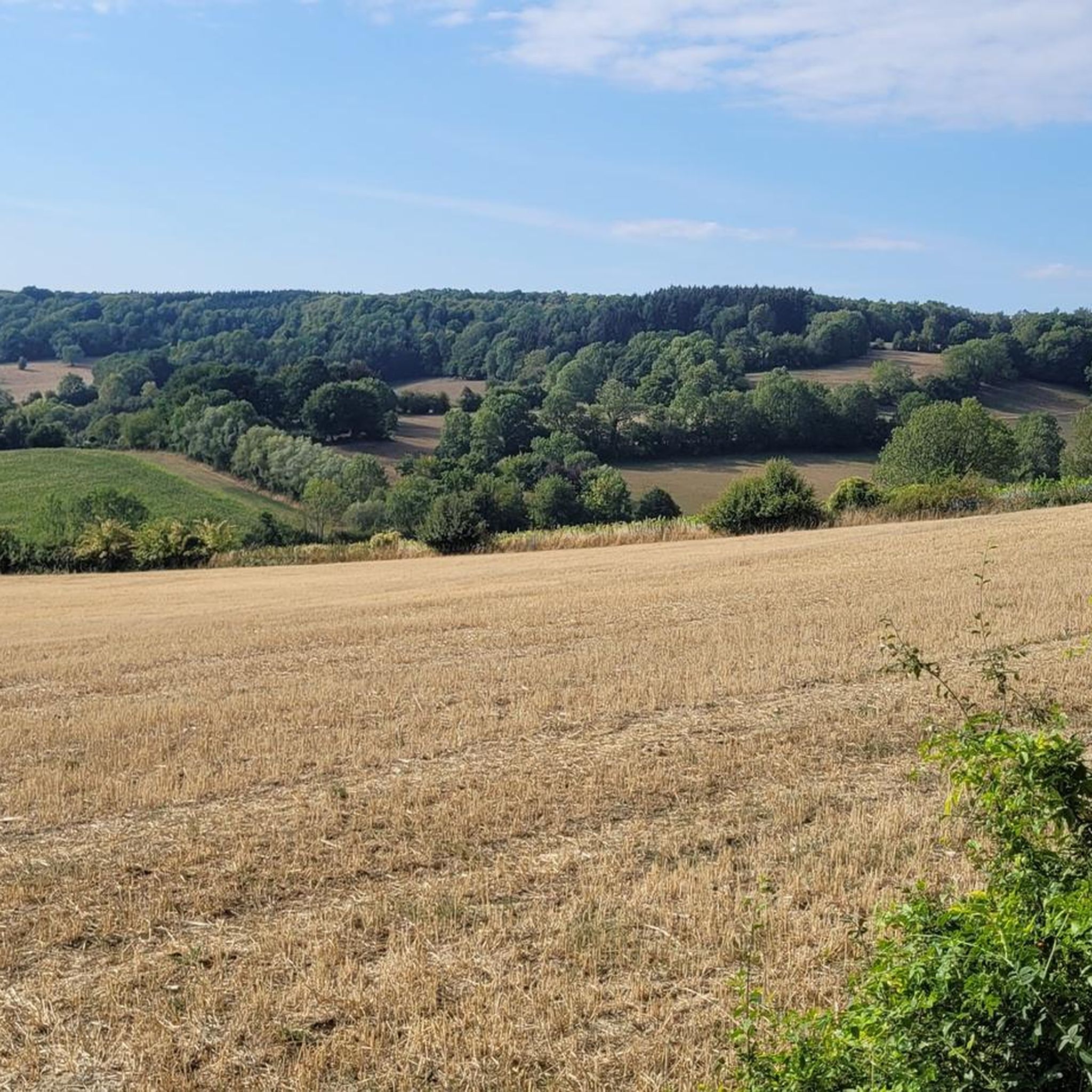
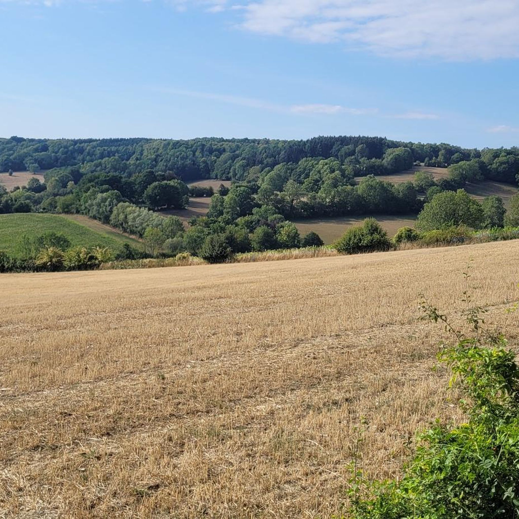
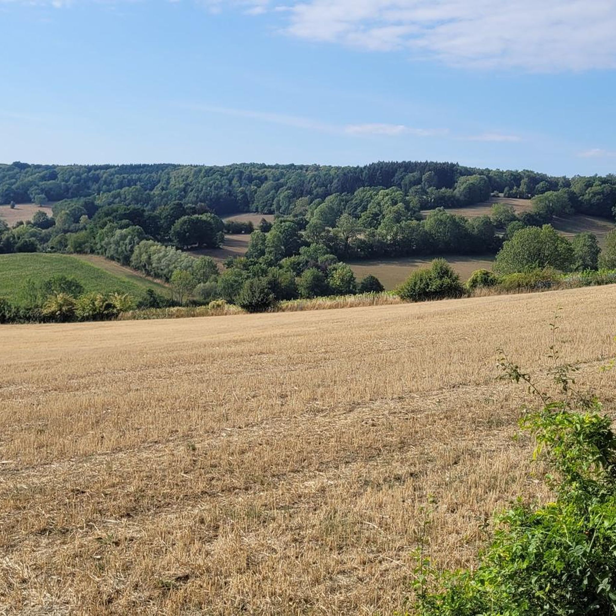
Follow the walking path along and over the Geul and enjoy the unique landscape.
2
1

The Dreiländerpunkt is probably the most frequented area at the Dreiländereck for "selfies" or the like. If you don't like tourist hype of this kind, but still want to take a photo here without umpteen other people being on it, you should come here as early as possible in the morning and not at the weekend or during the holidays...
21
0

The Dreiländerpunkt consists of a stone on which the country abbreviations are written. Lines on the ground indicate the angle at which each country extends.
24
0
The Vaalserberg is marketed accordingly and many people follow the call. Highest point in the Netherlands, steep climbs, monuments, observation tower, gastronomy and much more.
20
0
Frequently Asked Questions
What unique natural features can I discover around Plombières?
Plombières is known for its diverse natural landscapes. You can explore the unique calamine landscape at the Plombières Mining Site and its Nature Reserve, where specialized flora thrives in mineral-rich soil. The Meanders of the Geul offer picturesque river views, while the Hohnbach Valley is home to rare plants like the yellow calamine violet. Don't miss the ancient Cyclops Stones in the Aachen Forest, geological formations from the Cretaceous period.
Are there any historical natural monuments in the Plombières area?
Yes, the region offers a blend of natural beauty and history. The Plombières Mining Site and its Nature Reserve is a significant historical natural monument, once an active lead and zinc mine. Its unique landscape is a direct result of its mining past. Additionally, the Three-Country Point, while a natural landmark, also holds historical significance as a meeting point of three European nations, with its borders marked since 1815.
What outdoor activities can I do near the natural monuments in Plombières?
The natural monuments around Plombières are excellent starting points for various outdoor activities. You can enjoy walking trails at the Plombières Mining Site and in the Gueule Valley. The Three-Country Point area offers an extensive network of walking trails in the surrounding forest. For more structured routes, explore the many options for running, mountain biking, and cycling available in the wider Plombières region.
Are there family-friendly natural monuments around Plombières?
Absolutely! Many natural monuments in Plombières are suitable for families. The Three-Country Point area is particularly popular, featuring an observation tower and a labyrinth. The Plombières Mining Site and its Nature Reserve is being transformed into a recreational park, making it accessible for all ages and even people with reduced mobility. Other family-friendly spots include the Meanders of the Geul, Hohnbach Valley, and the Cyclops Stones in the Aachen Forest.
What is the best time of year to visit the natural monuments in Plombières?
The best time to visit depends on your interests. Spring (March-May) is ideal for observing the specialized flora, such as the calamine pansy and yellow calamine violet, in bloom at sites like the Plombières Mining Site and Hohnbach Valley. Summer (June-August) offers pleasant weather for walking and cycling, with butterflies active in the dry grasslands. Autumn (September-November) provides beautiful foliage, especially in the forested areas around the Three-Country Point. Winter can be serene, though some trails might be less accessible.
Can I find viewpoints with panoramic scenery among the natural monuments?
Yes, the region offers stunning panoramic views. The Three-Country Point is home to the Baudouin Tower, which provides expansive views across parts of Belgium, the Netherlands, and Germany. The Meanders of the Geul and Hohnbach Valley also offer picturesque riverine viewpoints.
What kind of wildlife can I expect to see at these natural monuments?
The natural monuments in Plombières are rich in biodiversity. At the Plombières Mining Site and its Nature Reserve, you can spot various butterflies, including the small pearl-bordered fritillary and brown argus, attracted to the unique flora. The Gueule Valley is a significant reservoir of biodiversity, with its free-flowing river and verdant meadows grazed by rustic cows and horses, providing habitats for various species.
Are there accessible natural monuments for people with reduced mobility?
The Plombières Mining Site and its Nature Reserve is undergoing transformation to become more accessible. It is being developed into a recreational, sports, and leisure park with respect for its heritage, making it suitable for people with reduced mobility. Marked walking trails like the "Balade du site minier" are designed to be explored by a wider audience.
Where can I learn more about the unique ecology and history of the Plombières Mining Site?
To delve deeper into the ecology and history of the Plombières Mining Site and its Nature Reserve, you can visit the Maison du Site Minier. This interpretation center provides valuable insights into the site's past as an active lead and zinc mine and its current status as a rare biotope with specialized flora and fauna.
What makes the Gueule Valley a significant natural monument?
The Gueule Valley (Vallée de la Gueule) is considered a "green gem" due to its rich biodiversity and picturesque landscape. The river Gueule is allowed to flow freely, creating semi-natural habitats that are highly threatened elsewhere. Its verdant meadows are grazed by rustic cows and horses, and the valley offers a beautiful setting for walks and bike rides, including the "Via Gulia" route.
What are the most popular trails for exploring the natural monuments?
For exploring the natural monuments, the Plombières Mining Site offers marked walking trails such as the "Balade du site minier" and "Parcours Natagora." In the Gueule Valley, the "Via Gulia" route follows the river for approximately 53 kilometers, perfect for walks and bike rides. The Three-Country Point area also boasts an extensive network of walking trails through its surrounding forests.
Most popular routes around Plombières
Most popular attractions around Plombières

Get inspired with the komoot mobile app


Explore more
Extend your search for the best caves by checking out these guides of the top ones around Plombières:
