The best road cycling routes around Opglabbeek
4.6
(12)
959
riders
48
rides
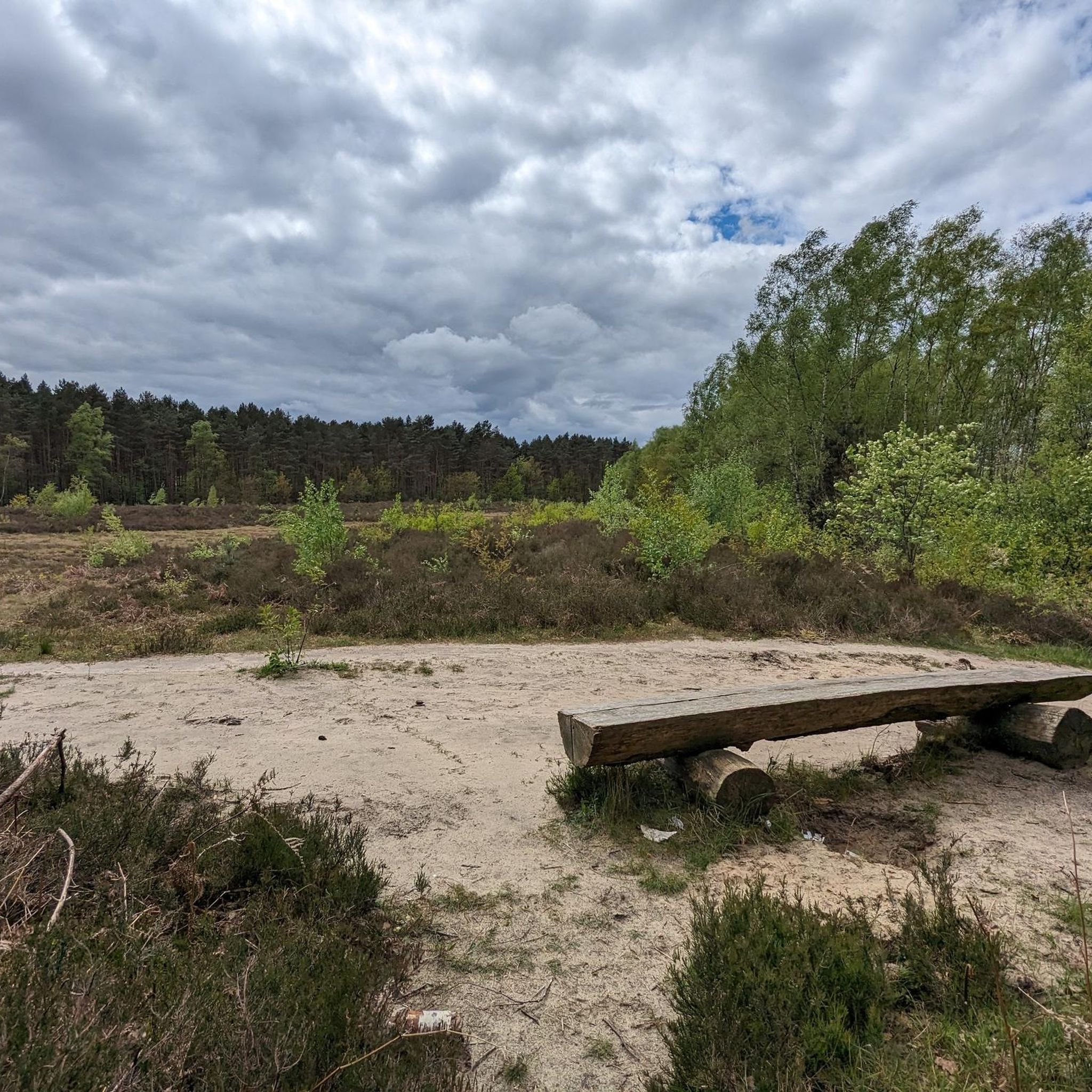
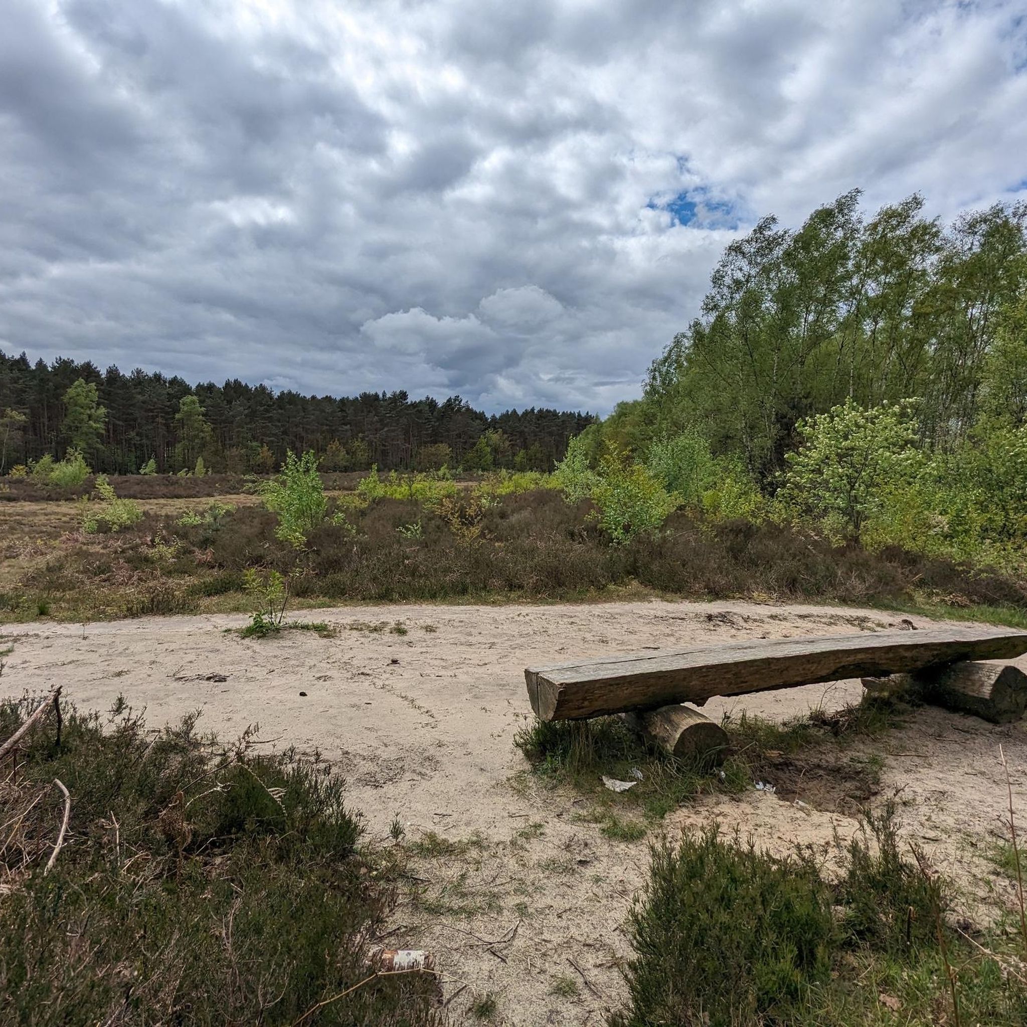
Road cycling routes around Opglabbeek traverse the diverse landscapes of Limburg, Belgium, offering varied terrain for cyclists. The region is characterized by gently sloping routes through vast pine forests, expansive heathlands, and unique inland dune areas like the Oudsberg Dune. Cyclists can experience routes integrated into the Hoge Kempen National Park, featuring natural beauty and well-maintained infrastructure. The area provides a mix of flat sections and mild ascents, suitable for road cycling.
Best road cycling routes around Opglabbeek
- The most…
Last updated: July 15, 2026
144
riders
59.7km
02:49
230m
230m
Moderate road ride. Good fitness required. Some segments of this route may be unpaved and difficult to ride.
5.0
(1)
141
riders
48.6km
02:25
220m
220m
Moderate road ride. Good fitness required. Some segments of this route may be unpaved and difficult to ride.

Sign up for free
82
riders
67.1km
03:05
180m
180m
Moderate road ride. Good fitness required. Some segments of this route may be unpaved and difficult to ride.
52
riders
55.5km
02:22
210m
210m
Moderate road ride. Good fitness required. Mostly well-paved surfaces and easy to ride.
45
riders
70.2km
03:12
340m
340m
Moderate road ride. Good fitness required. Mostly well-paved surfaces and easy to ride.
Get access to more routes and recommendations from other explorers.
Sign up for free
Already have an account?
Our route recommendations are based on thousands of hikes, rides, and runs completed by other people on komoot.
Start today with a free account
Your next adventure awaits.
Login or Signup



Tips from the Community

Very friendly owners. Ideally located with reasonable prices. Unreservedly recommended.
31
0
Boyer Bölke is located near the hiking and cycling paths of the Negenoord-Kerkeweerd nature reserve and serves as a popular resting point for excursionists. Its location as a refreshment stop after tours along the Maas is particularly appreciated. Boyer Bölke, Boyerweg 29, 3650 Dilsen-Stokkem, T +32 494 68 51 38
28
0

Ice cream parlor with artisanal ice cream. Beautiful terrace with a small playground. Open from 11 am to 8 pm. Closed on Thursdays.
6
0

The Maas forms the border between the Netherlands and Belgium for a distance of forty kilometers. Here the river has free rein and can be quite wild. A maze of old riverbeds, banks, rapids, and gravel banks creates a wild, untouched landscape. And where there is water, there is life! Konik horses and Galloway cattle graze on the banks, while rare butterflies flutter by. This cross-border nature reserve is a paradise for hikers with over 200 kilometers of trails. There is also an extensive network of cycle paths! Discover not only the natural beauty but also the idyllic villages along the Maas and cross the river via a bridge or ferry. These large herbivores play a crucial role in managing the natural environment. Together, they create a diverse landscape. In winter, the cattle graze on trees and shrubs, while the Konik horses feast on the shorter grass and the best herbs. This unique combination prevents the area from being overgrown by pastures and creates a dynamic mosaic of open meadows, rough scrub, and forests. This keeps nature constantly in motion! The Maas is a rain-fed river, which means that the hiking trails in RivierPark Maasvallei sometimes experience floods during periods of heavy rainfall. This can affect the accessibility of the trails.
0
0
Cycling between the terraces, also known as cycling over water, is a cycling project that opened to the public in September 2024. It is a pontoon cycle/footpath across the Große Plas (Great Pond) between the waste heaps at resort Terhills. It is a new addition to the series of special cycling projects previously realised in the cycling paradise of Limburg (such as cycling through the water (Domain Bokrijk), cycling through the heathlands (north of Zutendaal), and cycling through the forests (Bosland National Park)).
0
0
Station As is a former railway station on lines 21A (Hasselt-As) and 21B (As-Eisden). The station building now houses a restaurant and the Kolenspoorvereniging (Coal Railway Association) uses it for the operation of the tourist railway line Waterschei-As-Eisden. Station As is also one of the gateways to Hoge Kempen National Park and has an observation tower.
0
0

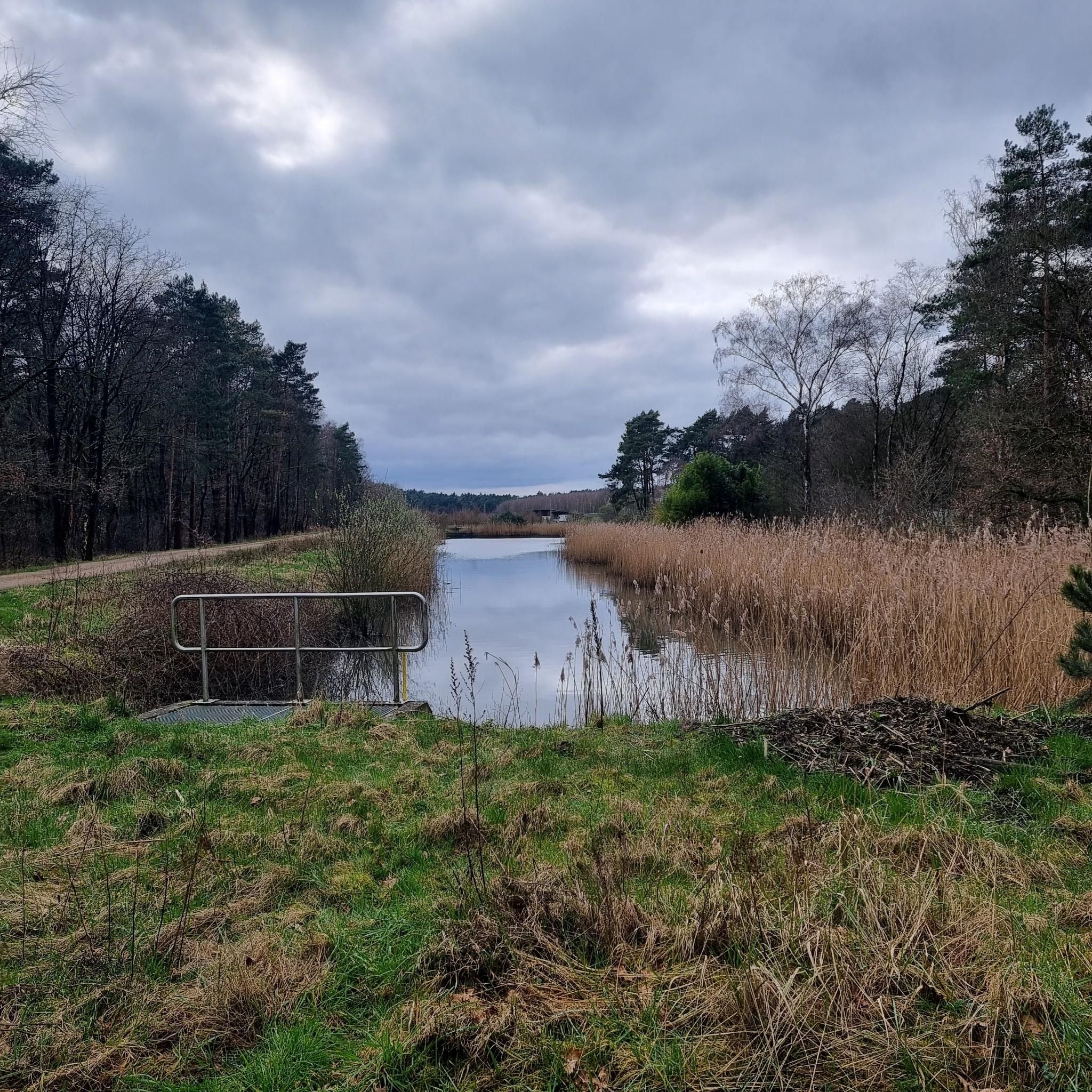
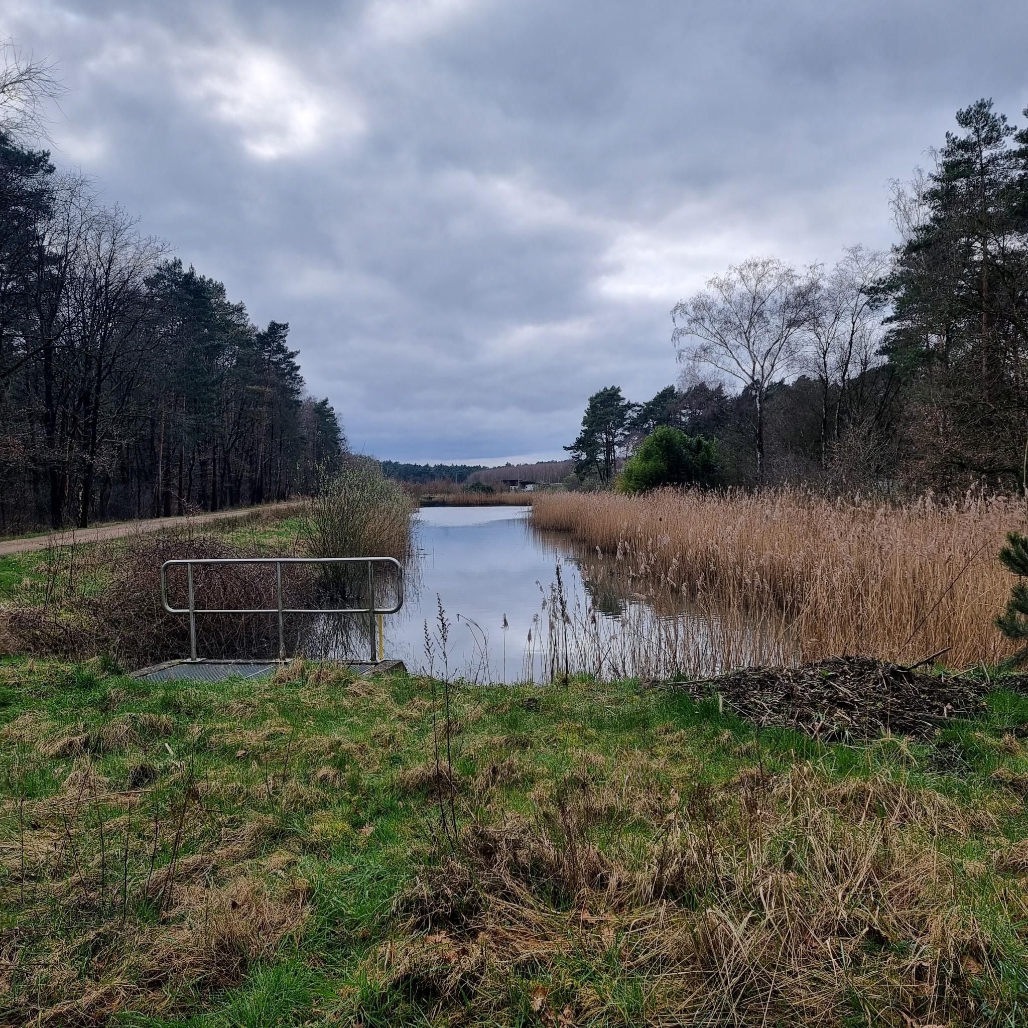
A look at the lake and the nature around it.
0
0

A good climb up, but for us it was downhill.
0
0
Frequently Asked Questions
How many road cycling routes are available around Opglabbeek, and what are their difficulty levels?
Opglabbeek offers a wide selection of road cycling routes, with over 45 tours available. The majority are classified as moderate, totaling 35 routes, making them suitable for most road cyclists. Additionally, there are 9 easy routes for a more relaxed ride and 1 difficult route for those seeking a challenge.
What unique cycling experiences can I find in the Opglabbeek area?
The region around Opglabbeek is known for innovative cycling experiences. You can enjoy “Cycling through the Trees” in Bosland, a unique 700-meter circular path that gradually rises to 10 meters, offering panoramic views among the treetops. Another highlight is “Cycling through the Heathland” in the Mechelse Heide, featuring a 300-meter wooden cycling bridge with stunning views of the heath and pine forests. There's also the new Fietsen Tussen de Mijnterrils Bridge in Terhills, connecting to the Hoge Kempen National Park.
Are there any family-friendly road cycling routes in Opglabbeek?
Yes, Opglabbeek offers several easy road cycling routes that are suitable for families. The well-maintained cycling network and generally gently sloping terrain make it accessible for various skill levels. While specific routes are not exclusively designated 'family-friendly' in the data, the 9 easy routes provide a good starting point for a relaxed family outing.
What kind of landscapes will I encounter on road cycling routes near Opglabbeek?
Road cycling routes around Opglabbeek traverse diverse landscapes. You'll experience vast pine forests, expansive purple heathlands (especially vibrant from mid-August to mid-September), and unique inland dune areas like the Oudsberg Dune. Many routes are integrated into the Hoge Kempen National Park, Belgium's only National Park, offering a mix of natural beauty and well-maintained infrastructure.
What are some notable viewpoints or attractions along the road cycling routes?
The routes often pass by interesting sights. You can find viewpoints like the View of the Terrils from the Lake or the View from Tweelingterril. Natural attractions include the Mechelse Heide — Lakes and Sand Dunes and the broader Mechelse Heide itself. You might also encounter historical mining landscapes, such as the Waterschei spoil heap or the Eisden Mine Headframes and Visitor Center.
Are there any circular road cycling routes in Opglabbeek?
Yes, the majority of road cycling routes in Opglabbeek are designed as circular loops, allowing you to start and end your ride at the same point. For example, the route View of the Weyers – Diepenbeek Lock loop from Opglabbeek is a popular circular option, offering views of water bodies and locks.
What do other road cyclists enjoy most about road cycling in Opglabbeek?
The road cycling experience in Opglabbeek is highly rated by the komoot community, with an average score of 4.6 stars from over 20 reviews. Cyclists often praise the diverse terrain, which includes pine forests, heathlands, and gently undulating landscapes, as well as the unique cycling infrastructure like elevated paths. The well-maintained routes and varied scenery are frequently highlighted.
Can I access road cycling routes in Opglabbeek using public transport?
Opglabbeek is part of the broader Limburg region, which has a cycling-friendly infrastructure. While direct public transport access to every trailhead might vary, major hubs and attractions like the Hoge Kempen National Park often have connections. For example, Station As is a former railway station now serving as a visitor center, which could be a starting point for routes in the area.
Are there any cafes or places to stop for refreshments along the road cycling routes?
The Limburg region is well-equipped for cyclists, and you'll find various cafes and refreshment stops, particularly in and around the towns and visitor centers. While specific cafes on every route are not detailed, popular cycling areas like the Hoge Kempen National Park and the vicinity of attractions such as Station As often provide opportunities for a break.
What is a good moderate road cycling route to explore the area's unique features?
A great moderate option is As Bicycle Bridge over the N75 – Cycling among the Mijnterrils loop from Opglabbeek. This 48.6 km route takes you through areas featuring modern cycling infrastructure and former mining landscapes, offering a glimpse into the region's industrial heritage blended with natural beauty.
Which road cycling route offers views of water bodies and locks?
For a route that highlights the water features of the Limburg landscape, consider View of the Weyers – Diepenbeek Lock loop from Opglabbeek. This moderate 63.3 km path provides scenic views of water bodies and locks, characteristic of the region.
Is there a road cycling route that connects significant regional features?
Yes, Cycling between Meuse and Mine - Limburg is a popular moderate route that spans 59.7 km. It's designed to connect significant regional features, offering a varied and comprehensive cycling experience through the diverse scenery of Limburg.
Most popular routes around Opglabbeek
Most popular attractions around Opglabbeek

Get inspired with the komoot mobile app


Explore more
Browse the best Road cycling routes in other regions.
