The best running trails around Hasselt
4.2
(855)
54,418
runners
3,244
runs
Jogging routes around Hasselt offer diverse landscapes, from expansive pond areas to tranquil nature reserves and green urban spaces. The region is characterized by its flat to gently rolling terrain, making it accessible for various fitness levels. Green avenues, meadows, and wooded banks provide varied running surfaces. Hasselt's surroundings feature a mix of natural beauty and well-maintained paths suitable for running.
Best jogging routes around Hasselt
- The most popular jogging route is Dwars door Hasselt - Limburg, a 7.7 miles (12.4 km) trail that takes 1 hour 20 minutes to complete. This moderate route navigates through the city's green spaces and along its waterways.
- Another top favourite among local runners is Rennen tussen Genk en Hasselt – Limburg, a difficult 14.2 miles (22.9 km) path. This longer route connects the two cities, offering varied terrain and open landscapes.
- Local runners also love the View of Terhills – Terril van Beringen loop from Beringen, a 9.7 miles (15.6 km) trail leading through former mining landscapes with notable elevation changes, often completed in about 1 hour 45 minutes.
- Jogging around Hasselt is defined by its "land of 1,001 ponds" in De Wijers, diverse nature reserves like De Teut, and scenic river valleys. The network offers options for different ability levels, from easy jogs to more challenging long-distance runs.
- The routes in Hasselt are highly rated by the komoot community with an average score of 4.25 stars from over 600 reviews. More than 47,000 runners have used komoot to explore Hasselt's varied terrain.
Last updated: August 17, 2026
3.7
(3)
8
runners
12.4km
01:20
40m
40m
Jog the moderate 7.7-mile (12.4 km) Dwars door Hasselt - Limburg route, enjoying city green zones, waterways, and the Quartier Bleu Waterfro
5
runners
22.9km
02:28
60m
90m
This difficult 14.2-mile jogging route between Genk and Hasselt offers a challenging run through the scenic De Wijers region.

Sign up for free
2.7
(3)
613
runners
10.6km
01:12
110m
110m
Moderate run. Good fitness required. Mostly paved surfaces. Suitable for all skill levels.
4.8
(4)
490
runners
Moderate run. Good fitness required. Mostly paved surfaces. Suitable for all skill levels.
5.0
(2)
477
runners
15.7km
01:45
150m
150m
Hard run. Very good fitness required. Mostly paved surfaces. Suitable for all skill levels.
4.3
(3)
432
runners
11.7km
01:17
30m
30m
Moderate run. Good fitness required. Mostly paved surfaces. Suitable for all skill levels.
4.8
(4)
454
runners
Moderate run. Good fitness required. Mostly paved surfaces. Suitable for all skill levels.
4.3
(4)
437
runners
11.5km
01:14
30m
30m
Moderate run. Good fitness required. Mostly paved surfaces. Suitable for all skill levels.
434
runners
Hard run. Very good fitness required. Mostly paved surfaces. Suitable for all skill levels.
265
runners
17.6km
01:53
80m
80m
Hard run. Very good fitness required. Mostly paved surfaces. Suitable for all skill levels.
Get access to more routes and recommendations from other explorers.
Sign up for free
Already have an account?
Our route recommendations are based on thousands of hikes, rides, and runs completed by other people on komoot.
Start today with a free account
Your next adventure awaits.
Login or Signup
Popular around Hasselt
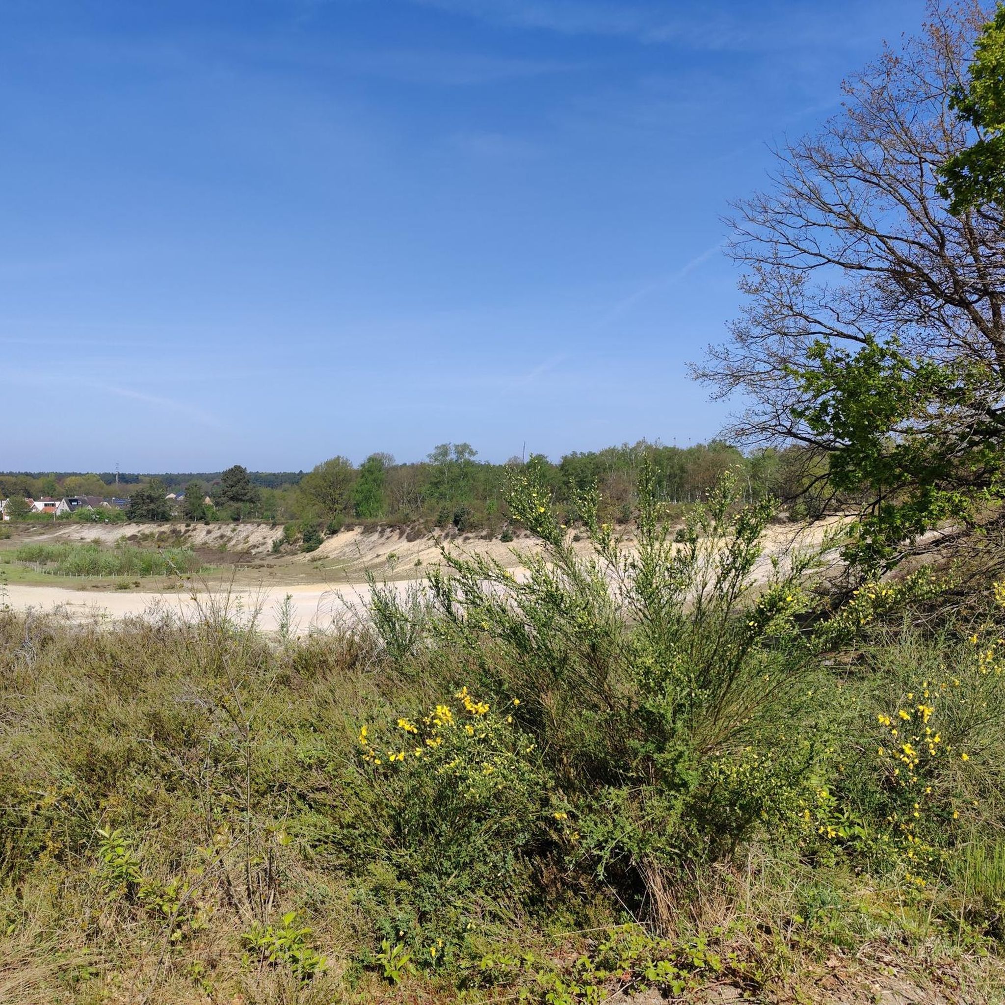
Running Trails around Genk
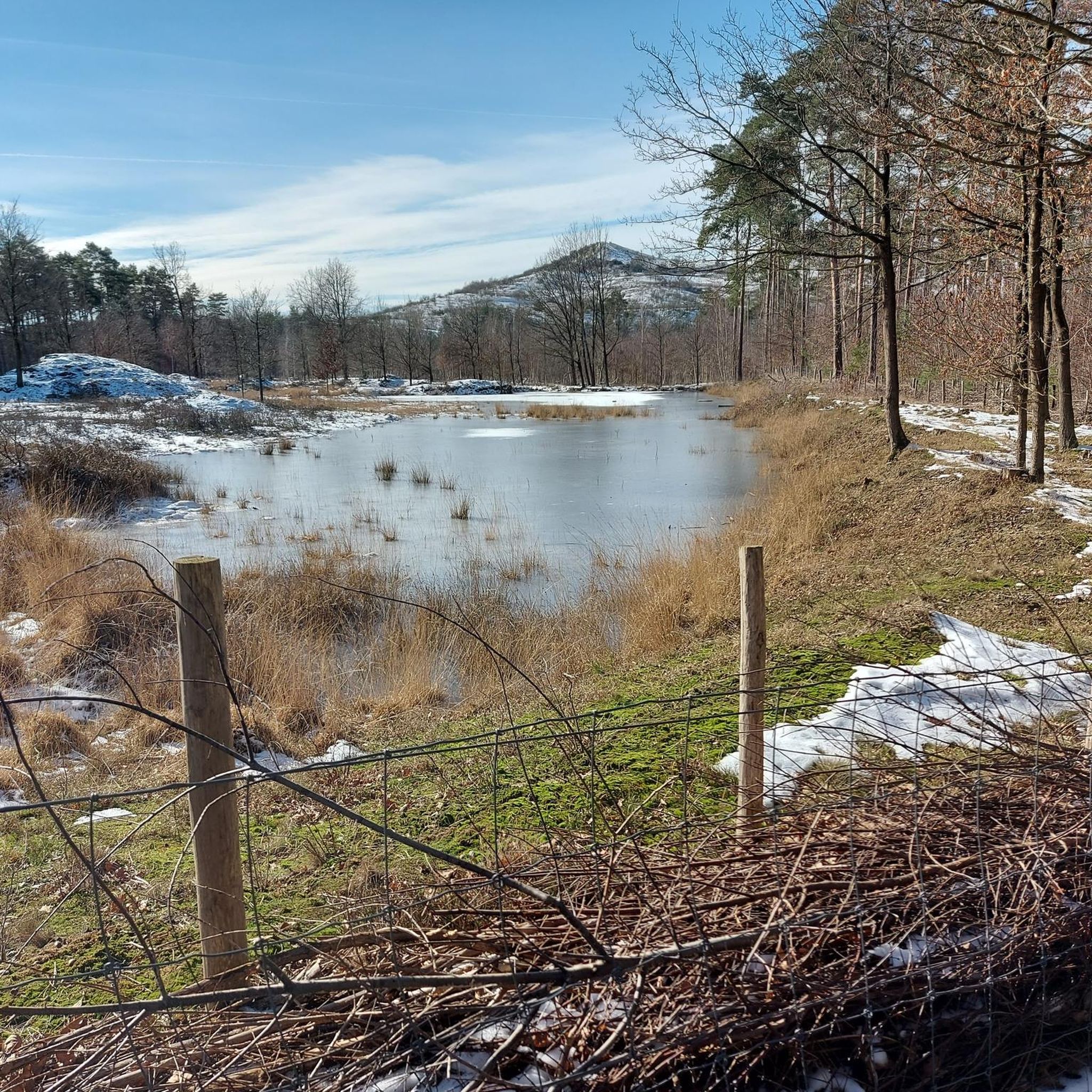
Running Trails around Beringen
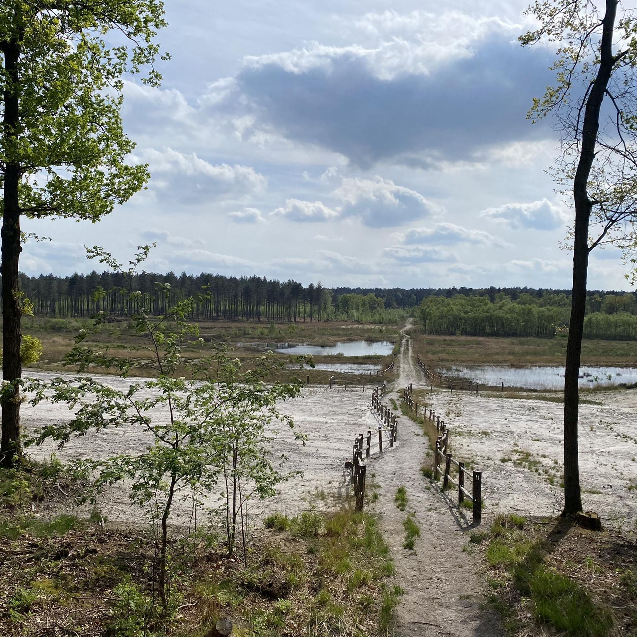
Running Trails around Zonhoven
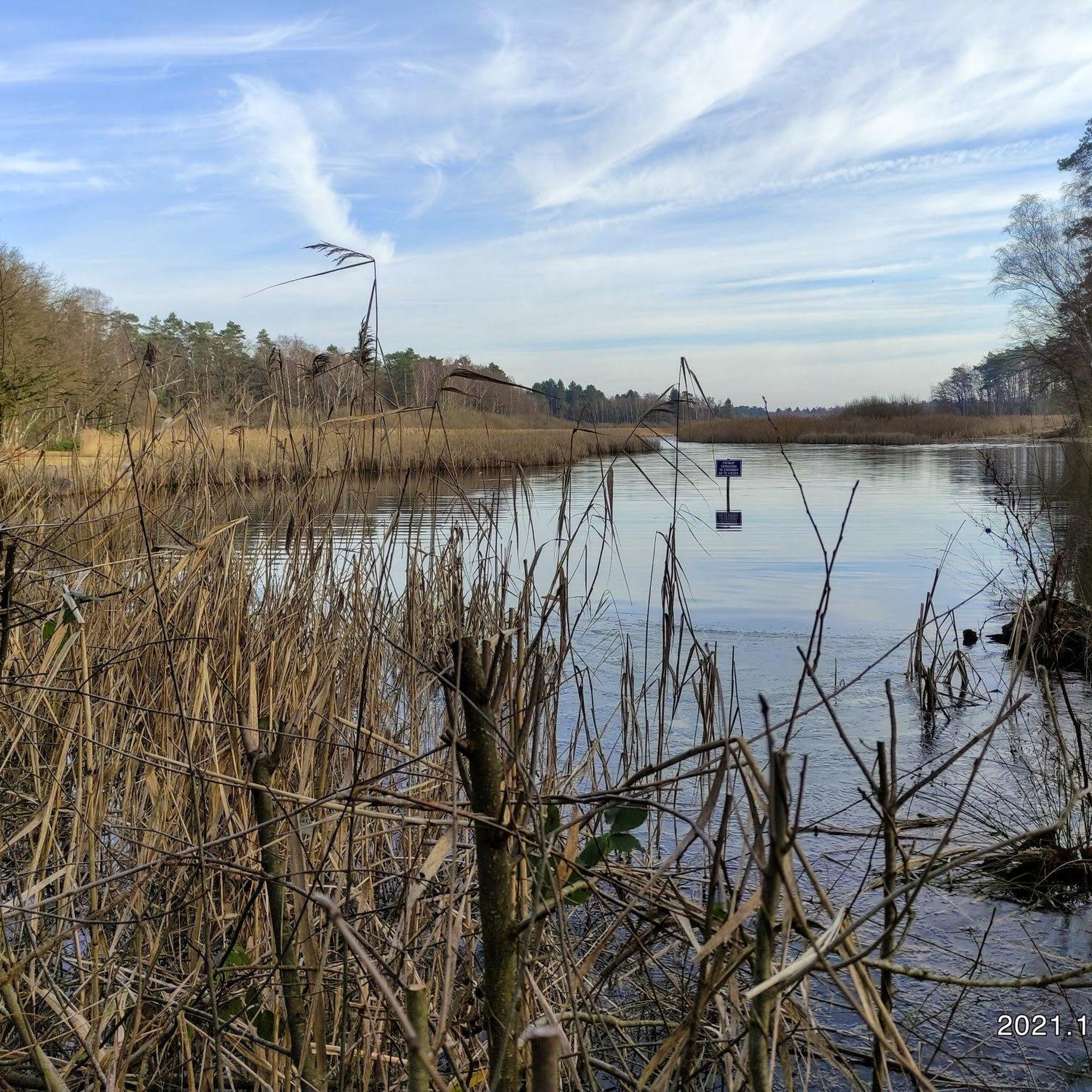
Running Trails around Heusden-Zolder
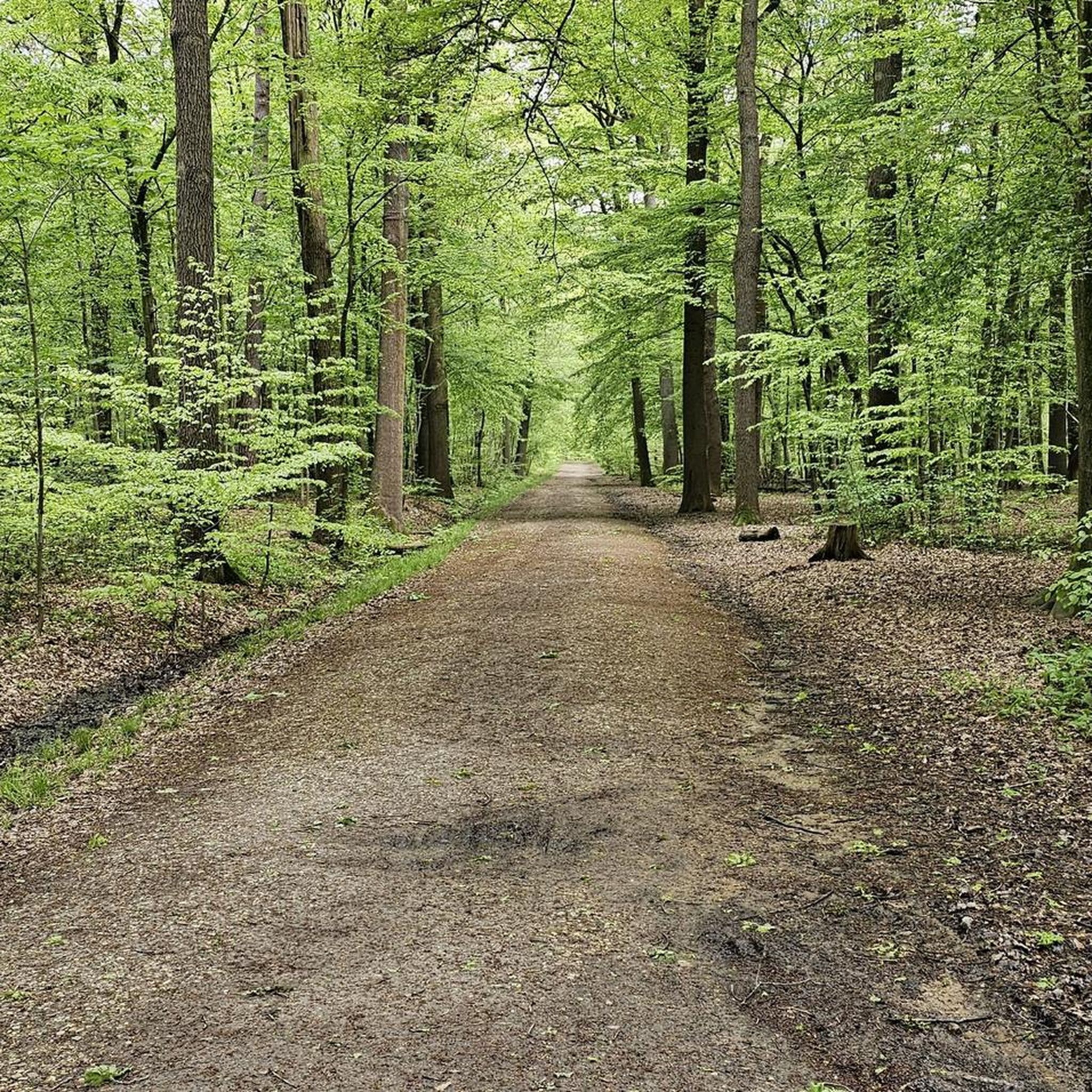
Running Trails around Sint-Truiden
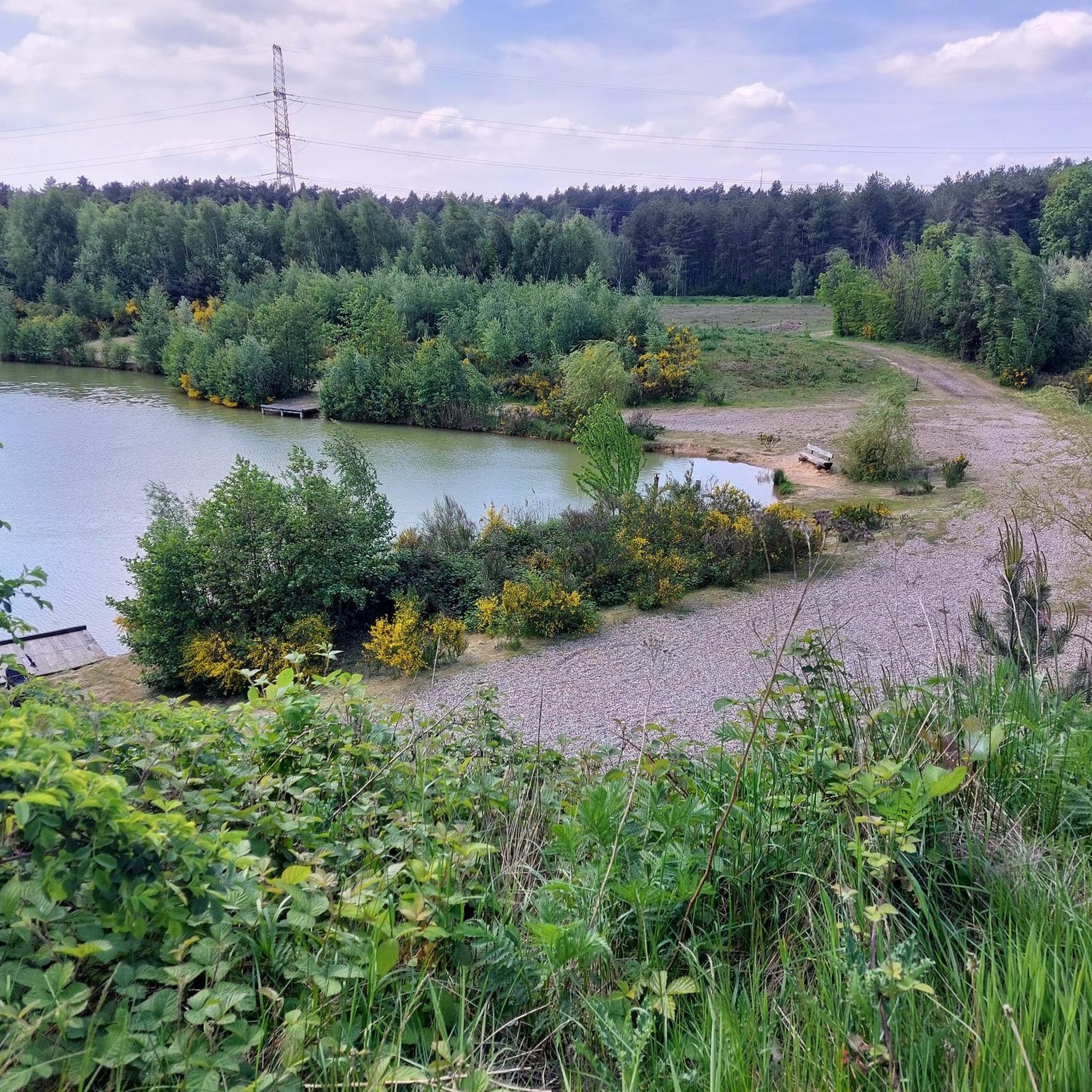
Running Trails around Zutendaal
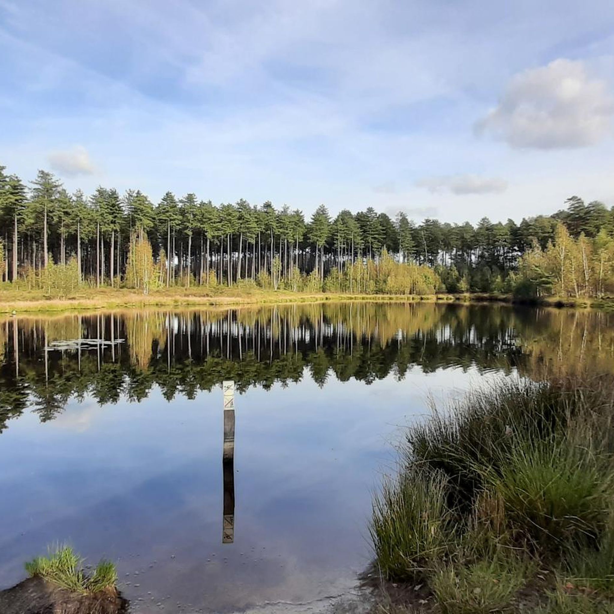
Running Trails around Tessenderlo
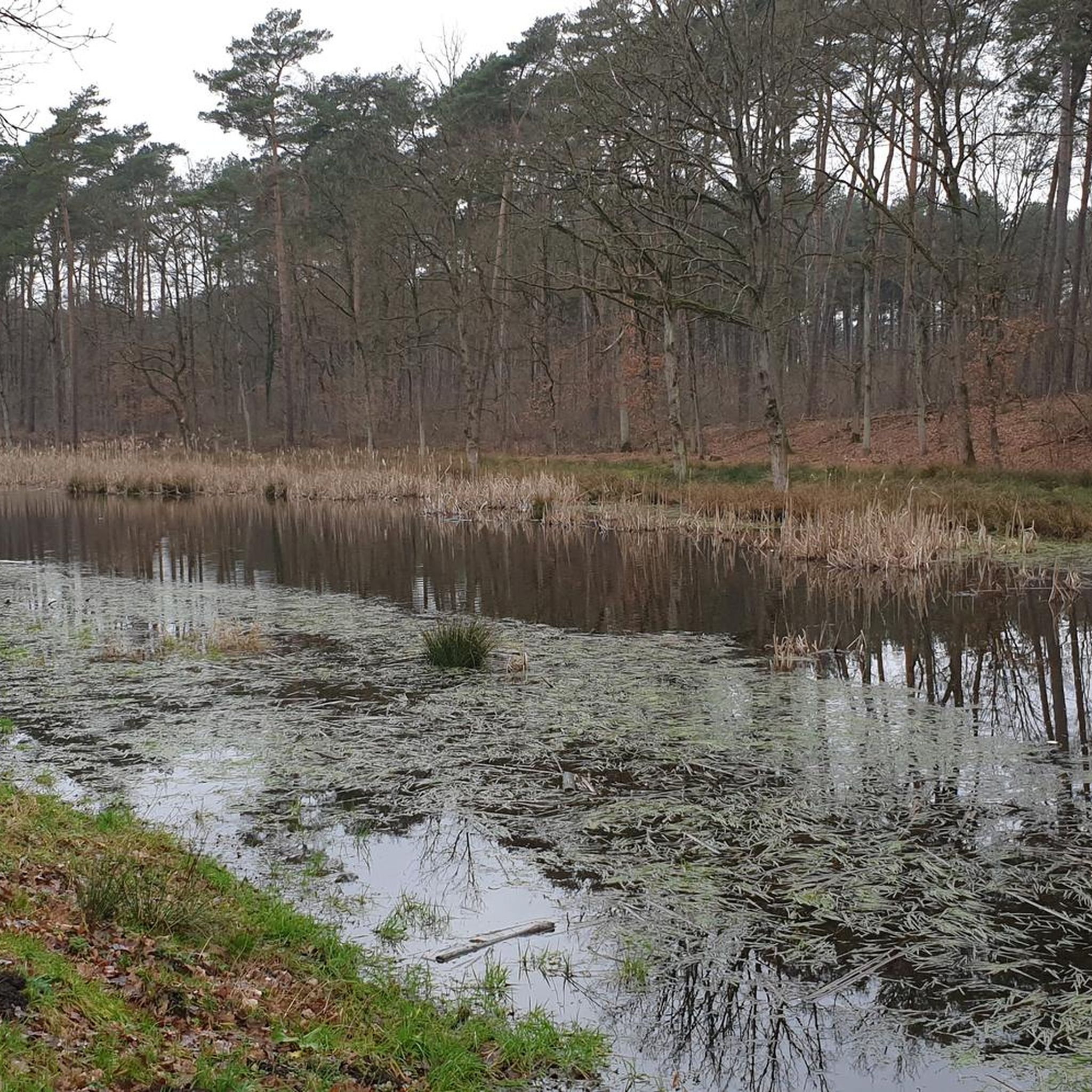
Running Trails in Natuurreservaat Vallei Van De Zwarte Beek - Beringen
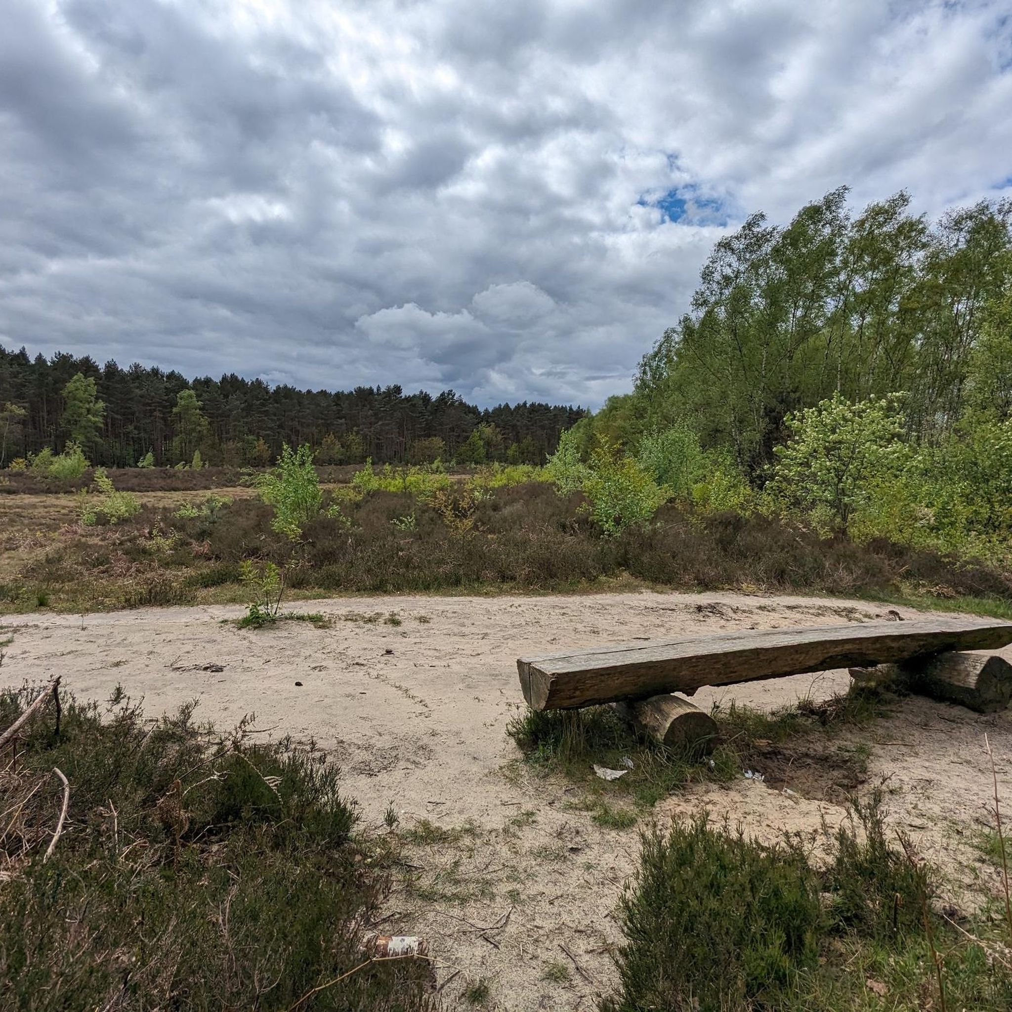
Running Trails around Opglabbeek
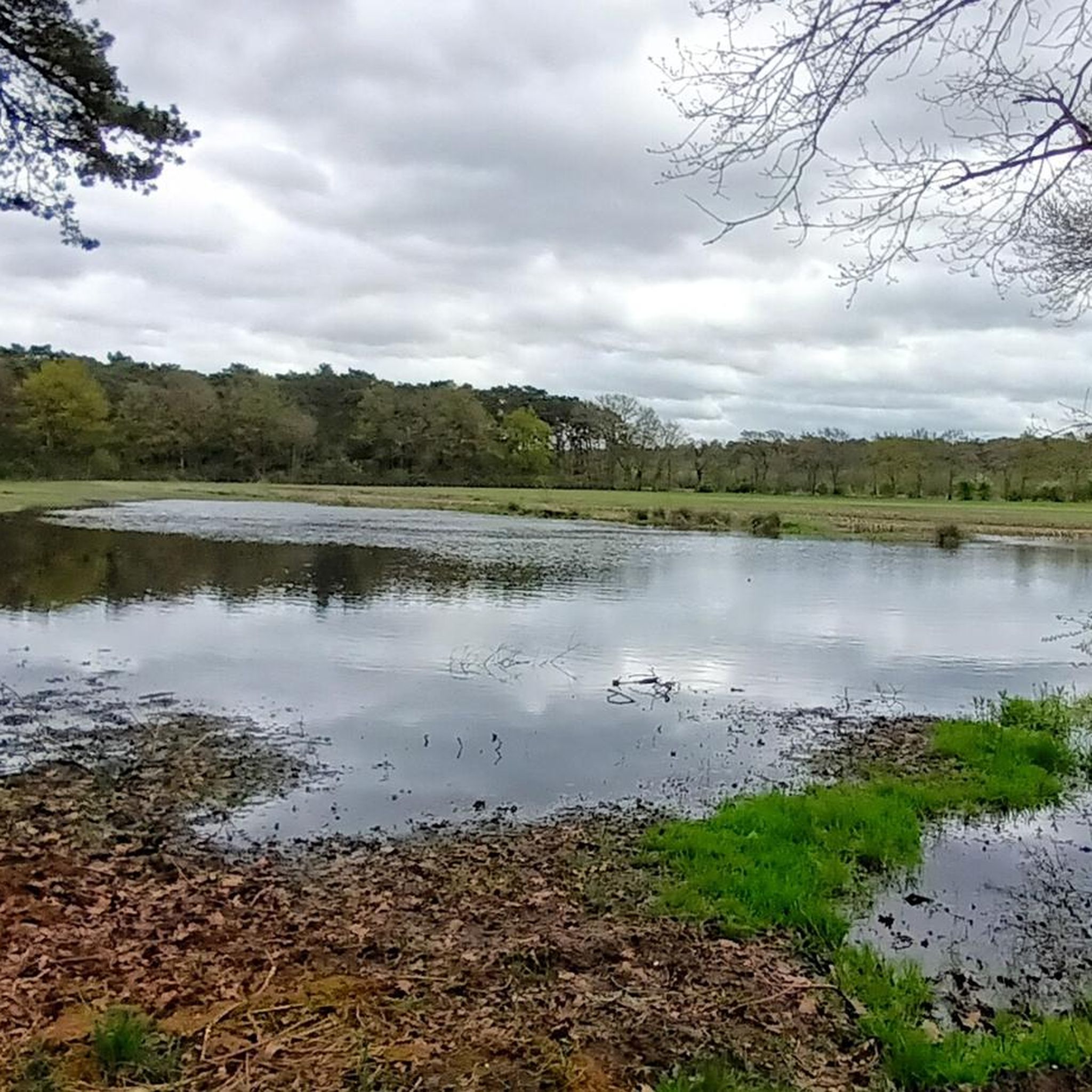
Running Trails around Leopoldsburg
Other adventures around Hasselt


Tips from the Community

The original flat heath landscape in Limburg changed its relief thoroughly when coal mining started. The coal that was brought up had to be separated from the unusable stones. For this, the coal was 'washed' and the waste was piled up. This is how the mine dumps were created. Today, the dump and its surroundings have been transformed into a nature reserve with a variety of flora and fauna.
3
0
The original flat heath landscape in Limburg changed its relief thoroughly when coal mining began. The coal that was brought up had to be separated from the unusable stones. For this, the coal was 'washed' and the waste was piled up. This is how the mine dumps were created. Today, the dump and its surroundings have been transformed into a nature reserve with a variety of flora and fauna.
2
0
The Beringen slag heap stands in the middle of the Beringen-Beverlo-Koersel triangle and is flanked by the Valley of the Black Stream. The ANB manages this area, which covers an area of 60 hectares. After the mine closure, slag heap 2 and the surrounding land were repurposed as a Flemish nature reserve. On the steep slopes of the Beringen slag heap, groves of pedunculate oak, silver birch, hawthorn, dog rose, and wild clematis thrive. St. John's wort, oxeye daisy, common tansy, yarrow, and wild carrot compete for a spot in the sunnier, open areas. Birds such as the skylark, tree pipit, and meadow pipit enjoy this abundance of herbs. It is an excellent biotope for them to breed in. Moreover, there are snacks aplenty thanks to the many insects present, including the remarkable blue-winged grasshopper and the swallowtail butterfly.
3
0
On the Avonturenberg you can scramble, climb and discover. Via a forest of 1,600 poles you reach the top of the spoil tip via stairs, rope courses, climbing structures, crawl tunnels and hiking trails. The path leads you from one viewpoint to another and offers background information on the history of the coal mine. At the top you can catch your breath on the sunken coal square and enjoy the peace and the view.
3
0
De Klaverberg is a largely wooded sand dune and also the name of the surrounding nature reserve on the border of the Belgian municipalities of As, Genk and Oudsbergen. It borders the Opglabbekerzavel heathland and other wooded nature areas. The area is named after the cloverleaf-shaped blown sand dunes, which form a, mainly wooded, dune ridge over a length of approximately 1.7 kilometers. The sand dunes probably originated as a result of the blowing away of sand that was exposed by overgrazing and too frequent turf stripping of southwestern heathlands. Klaverberg on an 18th-century Ferraris map De Klaverberg is overshadowed by the remediated spoil tip of the former Waterschei coal mine, with a top of up to 155 meters above sea level. These scenically most striking witnesses of the mining past cover a part of the dunes.
3
0
The Klaverberg is a largely wooded sand dune and also the name of the surrounding nature reserve on the border of the Belgian municipalities of As, Genk and Oudsbergen. It borders the Opglabbekerzavel heathland and other wooded nature reserves. The area is named after the cloverleaf-shaped sand dunes, which form a mainly wooded dune ridge for about 1.7 kilometers. The sand dunes possibly originated from the blowing sand that was exposed due to overgrazing and too frequent sod cutting in southwestern heathlands. Klaverberg on an 18th-century Ferraris map The Klaverberg is overshadowed by the remediated slag heap of the former Waterschei coal mine, with a summit up to 155 meters above sea level. These most visually striking remnants of the mining past cover a part of the dunes.
3
0
The Klaverberg is a largely wooded sand dune and also the name of the surrounding nature reserve on the border of the Belgian municipalities of As, Genk and Oudsbergen. It borders the Opglabbekerzavel heathland and other wooded nature areas. The area is named after the cloverleaf-shaped drifting dunes, which form a predominantly wooded dune ridge over a length of approximately 1.7 kilometers. The sand dunes probably arose as a result of the wind-blown transport of sand that was exposed due to overgrazing and too frequent turf stripping of southwestern heathlands. Klaverberg on an 18th-century Ferraris map The Klaverberg is overshadowed by the remediated spoil tip of the former Waterschei coal mine, with a top up to 155 meters above sea level. These most striking landscape witnesses of the mining past cover a part of the dunes.
3
0
Frequently Asked Questions
How many running routes are available around Hasselt?
Hasselt offers a vast network of over 2,800 running routes, catering to all levels. You'll find everything from easy jogs through green urban spaces to challenging long-distance runs across diverse natural landscapes like the 'land of 1,001 ponds' in De Wijers and the heathlands of De Teut.
Are there easy running routes suitable for beginners in Hasselt?
Yes, Hasselt has over 240 easy running routes, many of which feature flat to gently rolling terrain. These are perfect for beginners or those looking for a relaxed jog. The region's green avenues, meadows, and urban parks provide pleasant and accessible surfaces.
What kind of natural landscapes can I expect to see on running trails near Hasselt?
The Hasselt region boasts a rich variety of natural landscapes. You can run through the expansive pond areas of De Platwijers-Wijvenheide Nature Reserve, explore the heathlands of De Teut, or enjoy the serene environment of the Herkenrode Abbey Site with its orchards and wet meadows. Many routes also feature forests, fields, and scenic river valleys.
Are there any running routes that are particularly scenic or offer great viewpoints?
Absolutely! Many routes offer picturesque views. For instance, the Bokrijk Castle – View of the Weyers loop from Bokrijk takes you through the beautiful De Wijers area. You might also encounter the De Wijers Observation Tower, offering panoramic views over hundreds of ponds.
Can I find circular running routes around Hasselt?
Yes, many of the running routes around Hasselt are designed as loops, allowing you to start and finish at the same point. For example, the View of Terhills – Terril van Beringen loop from Beringen is a popular circular option, as is the Paalse Plas – Paalse Plas loop from Paal.
Are there any family-friendly running trails in the Hasselt area?
Yes, several areas are great for families. The Herkenrode Forests, for example, offer a 3.7-hectare natural play forest alongside walking routes. Many of the easier, flatter routes through parks and green spaces, like those found in Kapermolenpark, are also suitable for families.
What do other runners enjoy most about jogging in Hasselt?
The running routes in Hasselt are highly rated by the komoot community, with an average score of 4.25 stars from over 600 reviews. Runners often praise the diverse landscapes, from the unique pond areas of De Wijers to the tranquil nature reserves, and the well-maintained paths that cater to various fitness levels.
Are there any historical landmarks or attractions I can see while running?
Yes, you can incorporate historical sites into your runs. The Saint Quintinus Cathedral – Bridge Over the Albert Canal loop from Hasselt takes you past the city's cathedral. The Herkenrode Abbey Site also offers scenic paths around its historic grounds. Additionally, you might pass by impressive structures like Bokrijk Castle or Kiewit Castle on certain routes.
Are there any dedicated running facilities or tracks in Hasselt?
Yes, Hasselt is equipped for runners. The Youth and Sports Center Ten Hove in Kermt specifically mentions a Finnish track, which is a dedicated facility designed for running, often with a softer surface for reduced impact.
What are some longer, more challenging running routes around Hasselt?
For those seeking a challenge, routes like Rennen tussen Genk en Hasselt – Limburg offer a difficult 14.2-mile (22.9 km) path connecting the two cities with varied terrain. Another challenging option is the View of Terhills – Terril van Beringen loop from Beringen, which features notable elevation changes over 9.7 miles (15.6 km).
Are there running routes that pass by water features or lakes?
Definitely. The region is known as the 'land of 1,001 ponds,' so many routes will take you past water. The Bokrijk Castle – View of the Weyers loop from Bokrijk and the Bokrijk Castle – Between the ponds loop from Domein Kiewit are excellent choices for running alongside ponds and through aquatic landscapes. You can also explore the De Platwijers-Wijvenheide Nature Reserve, known for its abundant birdlife and fish farming ponds.
Can I find running routes that are easily accessible by public transport?
Hasselt is well-connected, and many routes start near urban centers or accessible points. While specific public transport details for each trailhead vary, the city's infrastructure generally allows for good access to various starting points for runs. It's advisable to check local public transport schedules for the specific route you plan to tackle.
Most popular routes around Hasselt
Most popular attractions around Hasselt

Get inspired with the komoot mobile app


Didn’t find what you were looking for?
Check out more Running Trails & Routes throughout Hasselt below and find the perfect route in your destination.
